The 5 Most Amazing Peaks in Skútustaðahreppur
Best mountain peaks in Skútustaðahreppur are characterized by dramatic volcanic activity and unique geological features. This region in Northeastern Iceland offers a striking array of mountain peaks and volcanic landscapes. The area provides opportunities to explore remote wilderness and observe ongoing geological processes. Visitors can experience diverse formations, from perfectly symmetrical tuyas to vast calderas and active geothermal fields.
Best mountain peaks in Skútustaðahreppur
- The most popular mountain peaks is Hverfjall Crater, a volcano that offers panoramic views over…
Last updated: May 15, 2026
Hverfjall Crater
Highlight • Volcano
Translated by Google •
Tip by

Leirhnjúkur Volcanic Area
Highlight • Volcano
Translated by Google •
Tip by
Sign up now to discover places like this
Get recommendations on the best single tracks, peaks, & plenty of other exciting outdoor places.
Sign up for free
Hverir Geothermal Area and Námafjall Mountain
Highlight • Natural Monument
Translated by Google •
Tip by

South Ascent and Descent of Hverfjall Crater
Highlight • Volcano
Translated by Google •
Tip by
Námafjall Summit
Highlight • Summit
Translated by Google •
Tip by
Start today with a free account
Your next adventure awaits.
Login or Signup
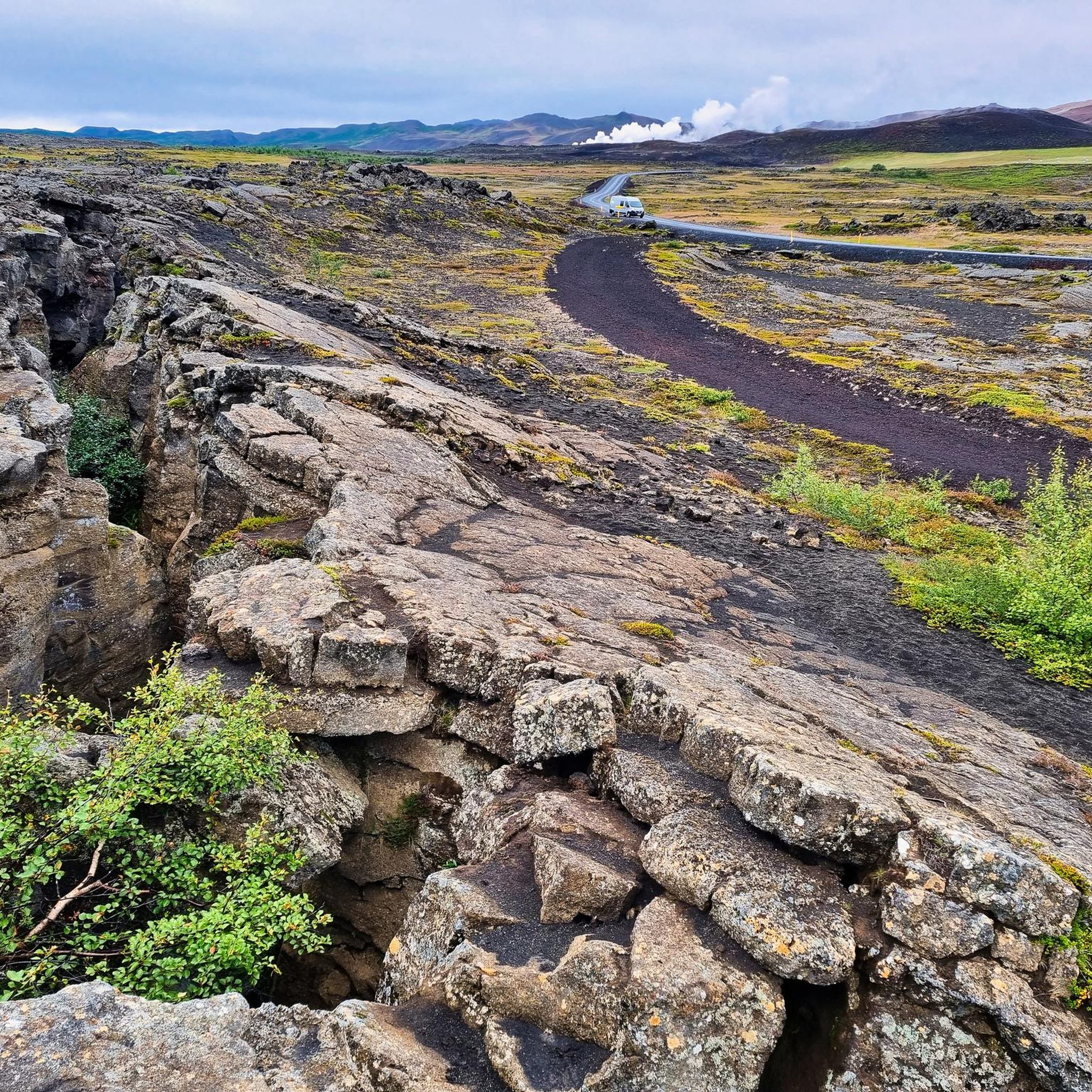
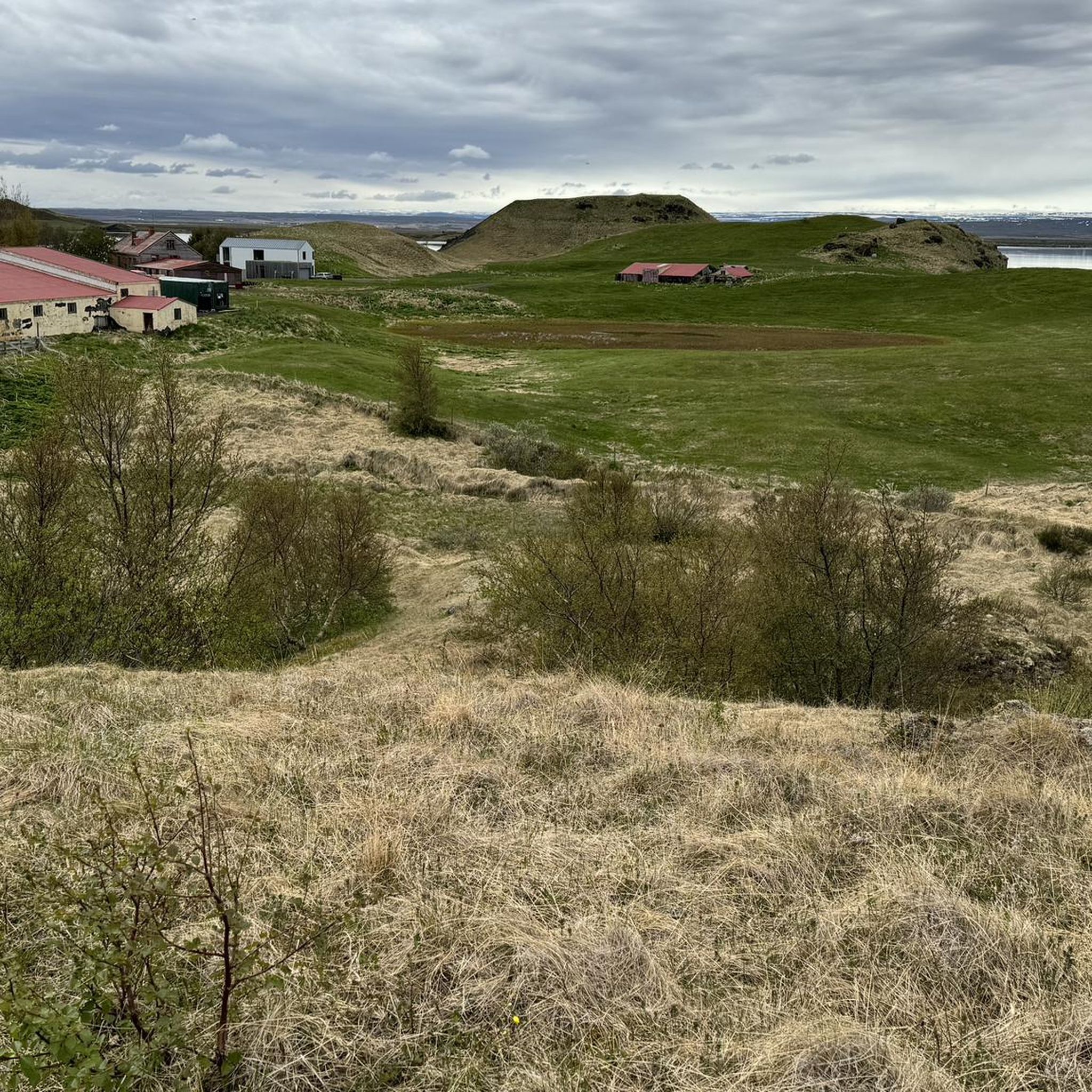
Other adventures in Skútustaðahreppur


Tips from the Community

I can recommend a hiking tour starting in Dimmuborgir, where parking is free. The trails in Dimmuborgir and up to the crater are very easy and ideal for warming up. The crater is about halfway there, and the toilets at the crater parking lot are free (not in Dimmuborgir, but parking at the crater costs money).
0
0
Challenging, but definitely doable in good weather! We used the south slope as the ascent. There are well-anchored poles and ropes that you can hold on to. Be careful on windy days, it can get very stormy up there!
0
0

Coming from the Dimmuborgir terrain, the southern slope is the most logical, but also the most challenging.
7
0
The marked path over the ridge passes numerous solfatars and striking sulfur domes – very beautiful to the left of the path as you descend. Sulfur used to be mined in this area.
11
0
From the top of the Námafjall - a small rock plateau that you can climb - we enjoy a beautiful panorama over the volcanic landscape spread out in front of us.
10
0

It's better to use the north trail because the parking lot is right there. The south trail is incredibly steep, rocky and you can almost throw your shoes in the trash afterwards.
1
0

Impressive crater landscape. Hot smoke is pouring out of the crevices everywhere.
3
0

At this point you can clearly see how far the lava has come in 1984, really impressive. Feel the black stones that are really hot!
3
0
Frequently Asked Questions
What are the most notable mountain peaks and volcanic areas to visit in Skútustaðahreppur?
Skútustaðahreppur is home to several unique mountain peaks and volcanic landscapes. Among the most prominent are Hverfjall Crater, one of the world's largest tephra cones offering panoramic views, and the Leirhnjúkur Volcanic Area, part of the active Krafla system with its still-steaming lava fields. Other significant sites include Herðubreið, known as the 'Queen of Icelandic Mountains' for its symmetrical tuya shape, and the vast Askja Caldera, famous for its lunar landscapes and the geothermal Víti crater lake.
What unique geological features can I expect to see among the mountain peaks of Skútustaðahreppur?
The region showcases a remarkable array of geological formations. You can witness the perfectly symmetrical, flat-topped 'tuya' shape of Herðubreið, formed by subglacial eruptions. The Askja Caldera features a vast volcanic depression with two prominent lakes, including the geothermal Víti crater. The Krafla Volcanic System displays extensive lava fields and active geothermal features like steam vents. Additionally, Hverfjall Crater is a well-preserved tephra cone, a testament to explosive volcanic activity.
Are there easy or family-friendly mountain peaks to hike in Skútustaðahreppur?
Yes, Hverfjall Crater offers a relatively easy and popular hike to its rim, providing stunning panoramic views. While the southern ascent can be challenging, there are easier approaches. For a moderate experience, the Námafjall Summit provides impressive views over the volcanic landscape. For easier walks, consider routes like the 'Skútustaðagígar Pseudocraters – View of Lake Mývatn loop' which is listed as an easy hike.
What is the best time to visit the mountain peaks in Skútustaðahreppur?
The best time to visit is generally during the summer months, from June to September. During this period, conditions are most favorable for hiking, and remote areas like the Askja Caldera are typically accessible, often requiring a 4x4 vehicle. Winter hiking is possible but requires specialized gear and experience due to challenging weather conditions and snow.
What kind of outdoor activities can I do near the mountain peaks in Skútustaðahreppur?
Beyond exploring the peaks themselves, Skútustaðahreppur offers diverse outdoor activities. You can find numerous hiking opportunities, from easy walks around Lake Mývatn to more challenging trails. There are also running trails available. For specific hiking routes, you can explore options like the 'Hverfjall Trailhead – Hverfjall Ascent Trail loop' or the 'Dimmuborgir – Kirkja Lava Cave loop' in the Hiking in Skútustaðahreppur guide.
Where can I experience geothermal activity among the mountain peaks?
The Hverir Geothermal Area and Námafjall Mountain is an excellent place to witness intense geothermal activity, featuring numerous solfatars and sulfur domes. You can also explore the Leirhnjúkur Volcanic Area within the Krafla system, where steam still rises from fissures in the lava field, offering a vivid illustration of ongoing geological processes.
Are there any challenging mountain hikes in Skútustaðahreppur?
Yes, for those seeking a challenge, the ascent of Herðubreið, while not always recommended due to loose rock, offers a remote wilderness experience. Within the Askja Caldera, hiking to the Víti crater involves an adventurous journey. The South Ascent and Descent of Hverfjall Crater is also noted as challenging, with steep sections that may require holding onto ropes.
What do visitors enjoy most about the mountain peaks in Skútustaðahreppur?
Visitors frequently praise the breathtaking panoramic views from summits like Hverfjall Crater and Námafjall Summit. The unique geological formations, such as the still-steaming lava fields of Leirhnjúkur, and the otherworldly, lunar landscapes of Askja, are also highly appreciated for their dramatic beauty and sense of isolation.
How long does it take to hike some of the mountain peaks?
Hiking to the rim of Hverfjall Crater typically takes 30-45 minutes for the ascent, and walking the entire circumference adds more time. Exploring the Leirhnjúkur Volcanic Area can take a couple of hours depending on the chosen trails. More remote and challenging hikes, such as those in the Askja area, can be full-day excursions.
Are there any specific access requirements for remote mountain areas like Askja?
Yes, the Askja Caldera is a remote area in the central Highlands. It is generally only accessible during the summer months, and a 4x4 vehicle is typically required to navigate the unpaved roads leading to it. It's advisable to check road conditions and accessibility before planning your trip. More information can be found on visitaskja.com.
Can I find circular hiking routes around the mountain peaks?
Yes, several circular routes are available. For example, you can walk the entire circumference of Hverfjall Crater once you reach the rim. The Námafjall Summit also offers a gorgeous circular route, often involving ascending a steeper side and descending a gentler one. Many trails around the Mývatn area, which is overlooked by Hverfjall, are also designed as loops.
What should I know about the terrain and elevation difficulty for mountain peaks in Skútustaðahreppur?
The terrain varies significantly. Peaks like Hverfjall Crater involve steep, sandy ascents, while the Hverir Geothermal Area and Námafjall Mountain can have slippery, clay-like paths, especially when wet. Remote peaks like Herðubreið can have loose rock. Always wear appropriate footwear and be prepared for varied conditions, as some ascents are rated as challenging.
Most popular attractions in Skútustaðahreppur

Get inspired with the komoot mobile app


Explore more
See even more amazing summits in Skútustaðahreppur with these guides:
