Top 15 Gorges in Ontario
Best canyons in Ontario showcase the region's diverse and impressive natural landscapes, featuring unique geological formations. The province is home to several significant gorges and canyons, carved by millions of years of natural processes. These areas offer varied terrain, from deep river gorges to dramatic cliff faces. Ontario's canyons provide opportunities to experience distinct natural environments and geological history.
Best canyons in Ontario
- The most popular canyons is The Grotto, a cave that is a large formation in the…
Last updated: September 30, 2026
Niagara Glen
Highlight • Gorge
Translated by Google •
Tip by

The Grotto
Highlight • Cave
Translated by Google •
Tip by

Sign up now to discover places like this
Get recommendations on the best single tracks, peaks, & plenty of other exciting outdoor places.
Terrace Path
Highlight (Segment) • Trail
Translated by Google •
Tip by
Elora Gorge
Highlight • Gorge
Showing Translation
Tip by
Lewiston–Queenston Bridge
Highlight • Bridge
Tip by

Niagara Escarpment
Highlight • Natural Monument
en.m.wikipedia.org/wiki/Niagara_Escarpment
Translated by Google •
Tip by
Lynde Shores Conservation Area
Highlight • Natural
Tip by

Bruce Trail: Niagara Section
Highlight (Segment) • Trail
Tip by

White River Suspension Bridge
Highlight • Bridge
Tip by

Devil's Punchbowl
Highlight • Gorge
Tip by

Sign up for free to discover even more gorges in Ontario.
Already have an account?
Start today with a free account
Your next adventure awaits.
Popular around Ontario

Cross Canada Ride — heading east for 6,800km
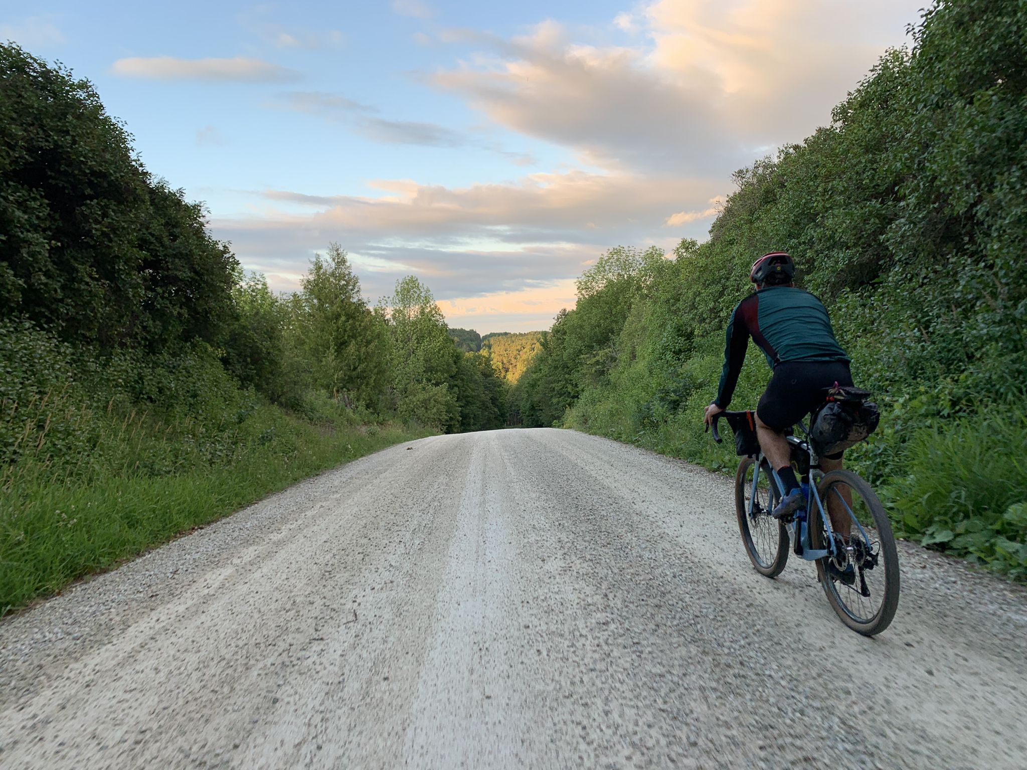
BT700 — Bikepacking Ontario over three days

Around the World in 80 Days
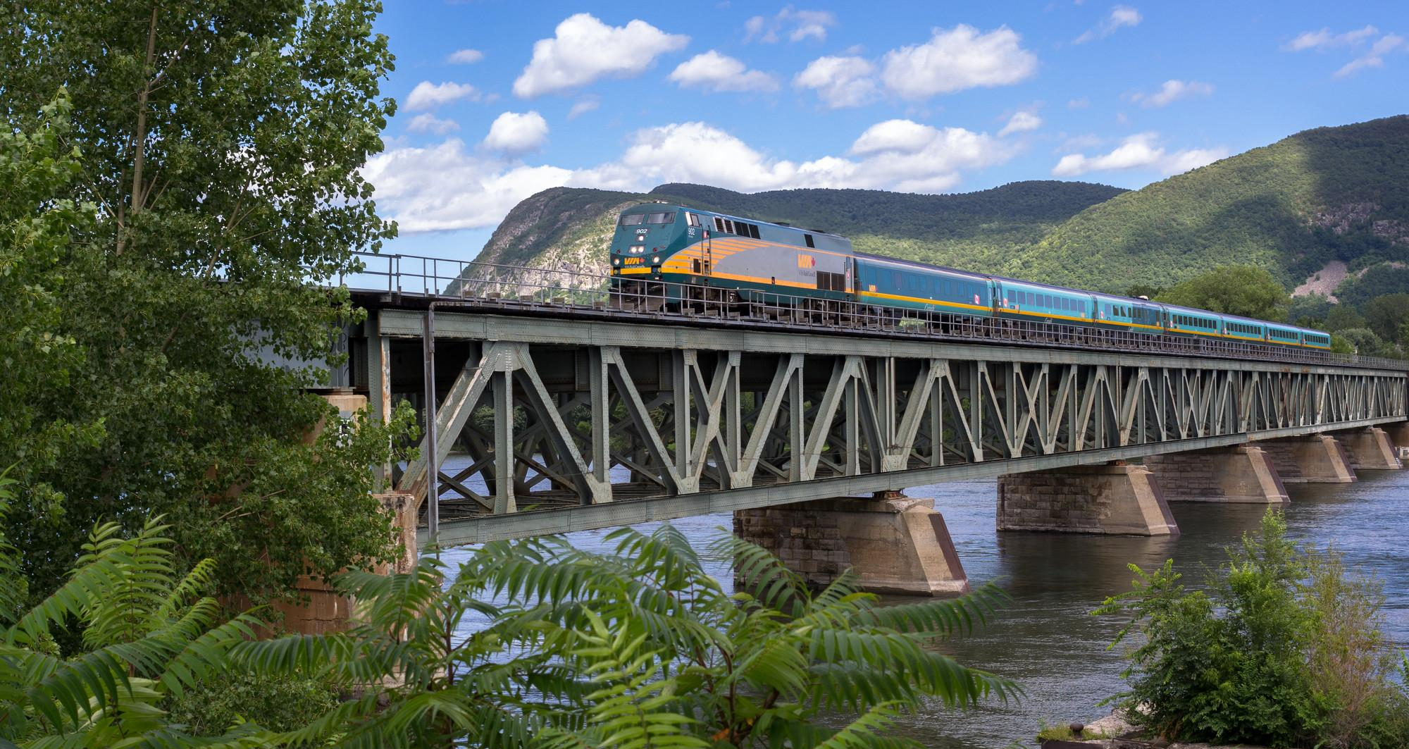
Canada by train – hikes from Central Eastern stations

Hiking in Ottawa – the jewels of Canada's capital

The longest footpath in the world – Trans Canada Trail
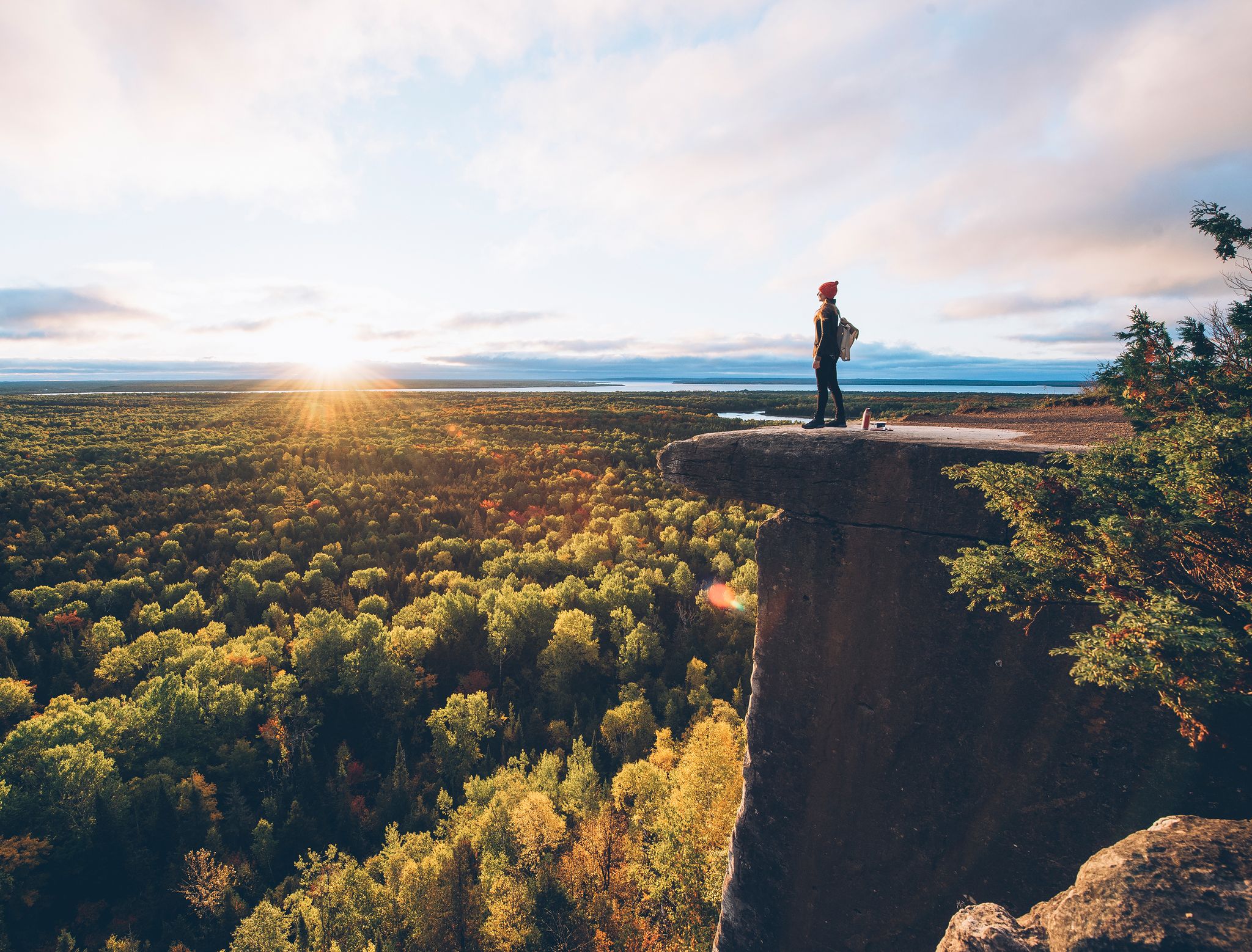
Hiking heaven: Ontario's lakes and national parks
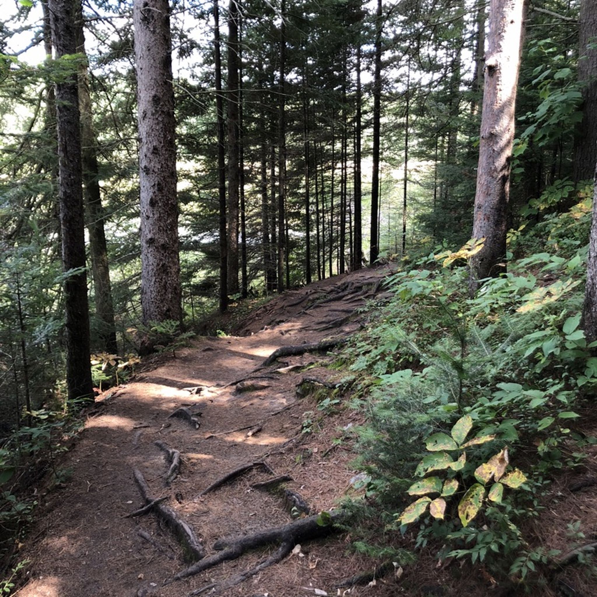
Hiking in Ontario
Running Trails in Ontario
Road Cycling Routes in Ontario
Other adventures in Ontario


Tips from the Community

The Lynde Shores Conservation Area is a conservation area that includes the Lynde Creek Marsh and Cranberry Marsh on Lake Ontario and was established in 1972. Due to its proximity to urban centers, the area receives many visitors throughout the year, including walkers, hikers, and bird lovers. Interestingly, feeding songbirds is permitted here - but only with plant seeds. On a part of the park grounds, extensive interventions are being carried out to restore a natural state. The vegetation has been completely removed from the area southwest of the parking lot, and the terrain has been modeled with two lakes. The fallow landscape leaves a peculiar impression; one can only hope that the project will be successful and visible by 2028. https://www.cloca.com/lynde-shores Visit on June 24, 2026
0
0
The Grand River flows as a wild mountain stream through the Elora Gorge. The 22-meter high rock gorge is not part of the Niagara Escarpment; it lies further west and was formed by glacial meltwater in the limestone. The Grand River's source area is near Georgian Bay, part of Lake Huron; it flows through southwestern Ontario and empties into Lake Erie after 275 kilometers. https://www.grandriver.ca/outdoor-recreation/conservation-areas/elora-gorge/
0
0

Lookout points let you see both Lower and Upper Punchbowl Falls. The lower waterfall is 5.5 metres high, while the upper waterfall is a ribbon of tumbling water nearly 34 metres high. From here, you can also take a side trail to a short walk up Ridge Road and, from there, join the Iroquoia section of the Bruce Trail.
1
0

The Niagara Section of the Bruce Trail is the southernmost section of the 890-kilometre route, beginning at Queenston Heights along the Niagara River before following the Niagara Escarpment. This stretch runs through a mix of hardwood forest, creek valleys, and open countryside, passing close to the gorge of Twenty Mile Creek and the falls viewpoints. As it passes Ball’s Falls Conservation Area, you can connect with viewpoints of both the upper and lower waterfalls, with the surrounding forest and escarpment scenery, making this one of the more scenic stretches of the Niagara Section.
0
0

Established in 1972, Lynde Shores Conservation Area offers a network of flat, easy trails that wind through marsh, meadow, and lakeshore forest. Boardwalks and wide paths take you through the mix of wetlands and wooded pockets that draw in waterfowl, deer, and plenty of songbirds creating a relaxed environment near the shore of Lake Ontario.
0
0

A beautiful network of hiking trails in a forest in the heart of the Niagara Gorge. The park entrance is easily accessible by WEGO bus. The entire hike is beautiful and unlike any I've done before. A unique landscape. The trail can be a bit challenging, so be sure to bring water and sturdy shoes. A fantastic hike.
4
0
The Niagara Glen Trail offers a peaceful retreat into nature with scenic views of the gorge and winding forest paths. It's a great place for a relaxed hike—just enough challenge to keep it interesting. The area is clean, well-marked, and feels safe. Perfect for an afternoon stroll if you're nearby and want to enjoy some quiet time outdoors.
4
0
Great hiking, very scenic, especially along the whitewater river sections. Beautiful rock formations along the trail. Most of the hike is through wooded terrain, so it's not too hot when the sun is shining. The trail is very well marked. I hiked the outer loop, just over 2 km round trip, with plenty of great photo stops along the way. It's cool to see the jet boat tours fly by during the hike. A nice change of pace.
4
0
Frequently Asked Questions
What makes Ouimet Canyon a unique natural attraction in Ontario?
Ouimet Canyon, near Thunder Bay, is notable for its horseshoe shape and cliffs dropping 100 meters. It features a unique microclimate that supports arctic plant life, typically found much further north, thriving in the canyon's protected environment. The canyon's geology showcases red rhyolite rock from ancient volcanic eruptions, and its cliffs provide nesting sites for peregrine falcons. Visitors can explore a 1-kilometer loop trail with boardwalks leading to panoramic lookout platforms, such as View of Ouimet Canyon.
How can I best experience Agawa Canyon, especially for its scenic beauty?
Agawa Canyon, north of Sault Ste. Marie, is primarily experienced via the Agawa Canyon Tour Train, a one-day adventure departing from Sault Ste. Marie. This train journey allows access to the remote wilderness. Once in the canyon, visitors can hike trails to see the deep, pine-cloaked canyon and cascading waterfalls. The Lookout Trail offers panoramic views, though it involves climbing over 300 stairs.
Are there family-friendly canyons or gorges to visit in Ontario?
Yes, several canyons and gorges in Ontario offer family-friendly experiences. Ouimet Canyon, for instance, has a well-maintained 1-kilometer loop trail that is accessible for most fitness levels. Elora Gorge is also a popular spot for families, offering clifftop views and trails. When planning, look for highlights tagged as 'family_friendly' like View of Ouimet Canyon.
What kind of geological formations and natural features can I expect to see in Ontario's canyons?
Ontario's canyons and gorges showcase diverse geological formations. You can find deep river gorges, dramatic cliff faces, and unique rock formations. For example, The Grotto is a large cave in the limestone coast along Georgian Bay, part of the Niagara Escarpment. The Niagara Gorge itself is a deep canyon carved by the Niagara River, visible from viewpoints like the Lewiston–Queenston Bridge. Ouimet Canyon features red rhyolite rock from ancient volcanic activity.
What are some notable hiking trails within or near Ontario's canyons?
Many canyons in Ontario offer excellent hiking opportunities. Ouimet Canyon has a 1-kilometer loop trail with lookout platforms. In the Niagara Gorge area, you can find trails like the Terrace Path, which winds through Carolinian Forest. The Cliff Trail with Forest and Lake View offers expansive views along cliffs up to 70 meters high. Agawa Canyon also has trails leading to waterfalls and panoramic viewpoints.
What is the best time of year to visit Ontario's canyons?
The best time to visit Ontario's canyons often depends on the specific experience you seek. Many, like Elora Gorge, are popular during summer and fall. Agawa Canyon is particularly renowned for its dramatic landscapes during the fall foliage season. Spring and summer offer lush greenery and warmer weather for hiking, while fall provides stunning colors. Winter visits can offer unique, snow-covered vistas, though accessibility and trail conditions may vary.
Are there opportunities for cycling or running near Ontario's canyons?
Yes, the region around Ontario's canyons offers various outdoor activities, including cycling and running. For example, you can find numerous cycling routes in the broader Ontario area, ranging from easy to difficult, as detailed in the Cycling in Ontario guide. There are also gravel biking options, with routes like those found in the Gravel biking in Ontario guide. For runners, the Running Trails in Ontario guide lists routes suitable for different difficulty levels.
What kind of wildlife can be observed in Ontario's canyons?
Ontario's canyons, with their diverse ecosystems, can be home to various wildlife. Ouimet Canyon, for instance, is known for providing nesting sites for peregrine falcons, making it a great spot for birdwatchers. The unique microclimates and varied vegetation in these areas also support a range of smaller animals and insects, contributing to the region's biodiversity.
Where can I find impressive viewpoints of Ontario's gorges?
Ontario's gorges offer many impressive viewpoints. Ouimet Canyon has dedicated lookout platforms along its loop trail, providing panoramic views of the sheer cliffs. In Agawa Canyon, the Lookout Trail offers spectacular vistas after a climb. The Lewiston–Queenston Bridge provides views of the Niagara River gorge. Additionally, areas like Nottawasaga Bluffs Conservation Area and the Niagara Escarpment also feature viewpoints overlooking dramatic landscapes.
Are there any unique bridges or structures associated with Ontario's canyons?
Yes, some canyons in Ontario feature notable bridges or structures. The Lewiston–Queenston Bridge is a prominent arch bridge that crosses the Niagara River gorge, linking the US and Canada and offering views of the gorge. Another example is the White River Suspension Bridge, which provides a unique way to experience a canyon landscape.
What is the significance of the Niagara Escarpment in relation to Ontario's gorges?
The Niagara Escarpment is a long escarpment that runs through Ontario and is a significant geological feature. Many of Ontario's gorges, including parts of the Niagara Gorge itself, are formed within or along this escarpment. It is recognized as a UNESCO World Biosphere Reserve, known for its unique rock formations and diverse ecosystems, such as those found at The Grotto.
Most popular routes in Ontario
Most popular attractions in Ontario

Get inspired with the komoot mobile app


Didn’t find what you were looking for?
Want to see even more gorges? See the best ones in Ontario region by region:
Explore more
Already discovered everything in this region? See additional gorges in Ontario for your next adventure:
