The 4 Most Amazing Peaks in Münchwilen
Best mountain peaks in Münchwilen Thurgau offer a variety of elevated points and hills for recreation. The region, a municipality in the canton of Thurgau, Switzerland, features a landscape of rolling hills and lush forests. These natural features provide scenic views and diverse hiking opportunities for various fitness levels. The district is home to more than 50 named mountains, making it a notable area for exploring the natural landscape.
Best mountain peaks in Münchwilen
- The most popular mountain peaks is…
Last updated: June 27, 2026
Chabishaupt Summit
Highlight • Summit
Translated by Google •
Tip by

Sitzberg Village
Highlight • Settlement
Translated by Google •
Tip by

Sign up now to discover places like this
Get recommendations on the best single tracks, peaks, & plenty of other exciting outdoor places.
Sign up for free
Kapf Triangulation Point
Highlight • Viewpoint
Translated by Google •
Tip by

Littenheid Clinic
Highlight • Rest Area
Translated by Google •
Tip by

Beautiful section to the highest point of the canton of Thurgau
Highlight (Segment) • Trail
With the Groot (991.1 m), we head to the highest elevation in the Canton of Thurgau: literally "the Top of Mostindien." …
Translated by Google •
Tip by

Start today with a free account
Your next adventure awaits.
Login or Signup
Popular around Münchwilen

Hope 1000 – Bikepacking Switzerland in 11 stages

Lake and Alps Adventure – explore 100 dreamy places in our cycling region!
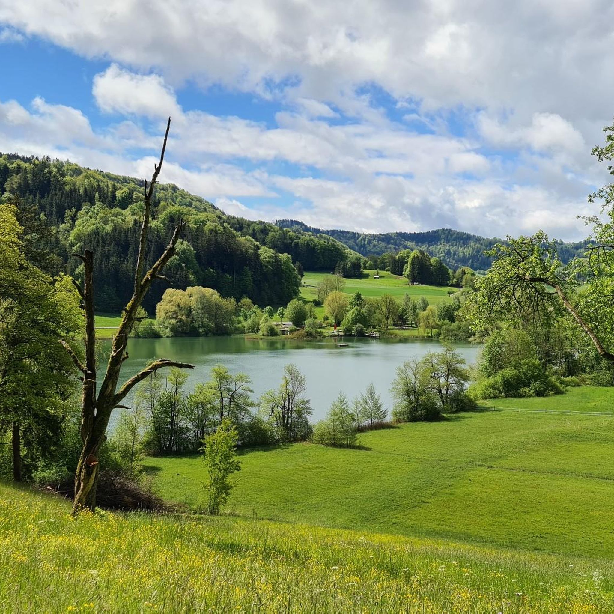
Hiking in Münchwilen
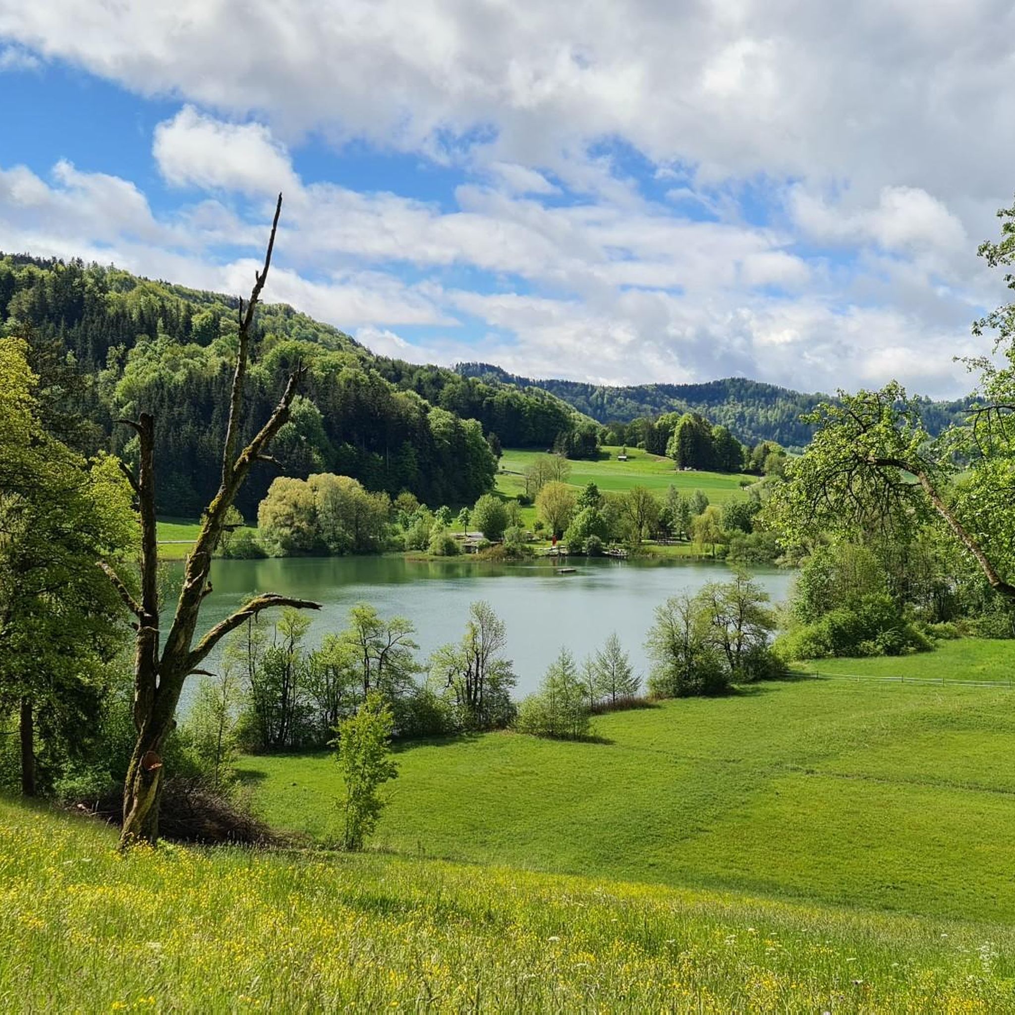
Cycling in Münchwilen
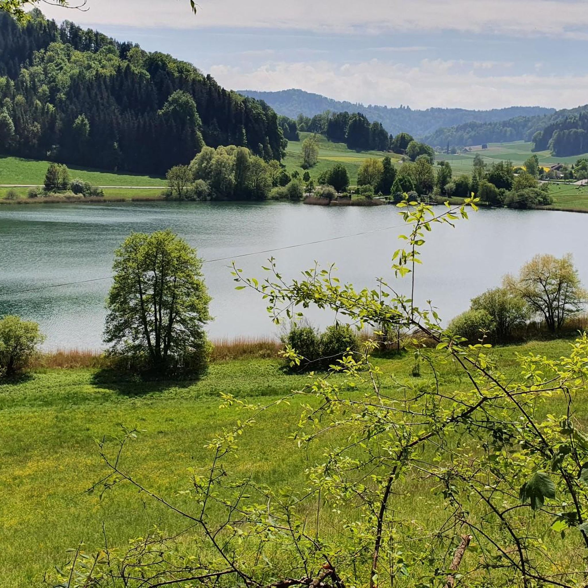
Road Cycling Routes in Münchwilen
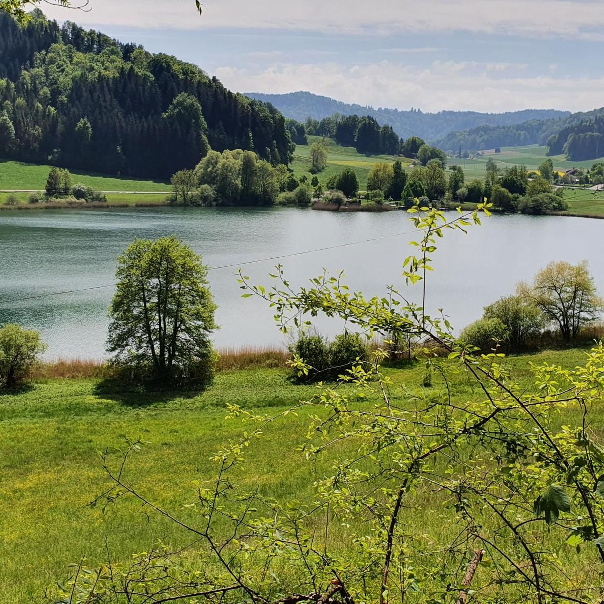
MTB Trails in Münchwilen
Running Trails in Münchwilen
Gravel biking in Münchwilen
Mountain Hikes in Münchwilen


Tips from the Community

On Wednesdays, the restaurant Stierenberg is closed. Please also note the bus timetable. It is not very frequent.
0
0

Groot - Highest Point in the Canton of Thurgau With the Groot (991.1 m), we head to the highest elevation in the Canton of Thurgau: literally "the Top of Mostindien." Interestingly, about 10 m further on lies the so-called ridge, which is also the highest point of the elevation. It rises 5 m higher than the Groot and is located entirely in Mosnang, or rather, in the Canton of St. Gallen. On this tour, we explore the idyllic Tössberg region.
15
0

Triangulation point Kapf 754 m, with 2 benches and a good view to the north. Access is permitted via the meadow to the side of the farm (signposted).
1
0

Beautiful rooty path up to the viewpoint with benches. In summer it is definitely good to climb in the shade
1
0

Three benches are perfect for a rest
1
0

Absolutely worthwhile climb (regardless of which side).
3
0
Cool, very traily and partly rooty forest path up to Groot to the highest point in the canton of Thurgau.
3
0

Very good asphalt and hardly any traffic!
3
0
Frequently Asked Questions
What are some of the most prominent mountain peaks in the Münchwilen district?
The Münchwilen district features several notable elevated points. Silberbüel, at 1,026 meters, is recognized as the highest point within the Bezirk Münchwilen, offering expansive views. Homberg, though not the highest at 759 meters, is the most prominent mountain in the district, known for its distinct panoramic vistas. You can also explore Sitzberg Village, which offers a worthwhile climb and a calm transition to the Zurich Oberland.
Which peak is the highest point in the entire Canton of Thurgau?
The highest point in the Canton of Thurgau is Groot, with an elevation of 996 meters. A hike to Groot is often described as leading to 'the Top of Mostindien,' offering exploration of the idyllic Tössberg region. You can find a beautiful narrow forest path leading to this summit from Fischingen, which is pleasantly shaded in summer. This is part of the Beautiful section to the highest point of the canton of Thurgau highlight.
Are there any family-friendly mountain walks or accessible peaks in Münchwilen?
Yes, the Münchwilen region offers diverse hiking opportunities suitable for various fitness levels, including family-friendly options. Sitzberg Village is noted as family-friendly and wheelchair accessible, offering a pleasant climb with good asphalt and minimal traffic. The area also features pleasant, often less strenuous, hikes near waterways, which are suitable for families.
What kind of natural features and views can I expect from the peaks in Münchwilen?
The peaks in Münchwilen offer a variety of natural features and breathtaking vistas. Many trails lead to elevated viewpoints providing panoramic views over the surrounding countryside. For instance, Kapf Triangulation Point offers incredible views of the Thurgau expanses, Lake Constance, and the Hagnauer volcanoes. The region is characterized by rolling hills, lush forests, and diverse flora and fauna, making it ideal for exploring the local ecosystem.
What is the best time of year to go mountain hiking in Münchwilen?
Spring and autumn are particularly beautiful seasons for hiking in Münchwilen due to the changing scenery and pleasant weather. However, winter hikes are also popular, with trails leading through snow-covered landscapes, offering a different kind of beauty. Some peaks like Burstel are even mentioned in the context of winter hikes, where chamois have been spotted.
Are there challenging mountain climbs or trails for experienced hikers?
Yes, for those seeking a challenge, the region offers trails with significant elevation gain. For example, reaching Chabishaupt Summit involves a steep climb through the forest. The area around Chabishaupt is known for its traily, rooty forest paths, which are appreciated by hikers looking for a more rugged experience.
What outdoor activities can I do near the mountain peaks in Münchwilen?
Beyond hiking, Münchwilen offers various outdoor activities. You can find numerous running trails, including routes like the 'Fischingen Abbey – Groot Summit Marker loop from Fischingen' which is a difficult 14.5 km trail. For cyclists, there are gravel biking and road cycling routes. Explore options like the 'Thur River Trail' for gravel biking or the 'Fischingen Abbey – Hulftegg Pass summit loop' for road cycling. You can find more details on these activities in the Running Trails in Münchwilen, Gravel biking in Münchwilen, and Road Cycling Routes in Münchwilen guides.
Is public transportation available to access the mountain peaks?
Yes, the Münchwilen district is generally accessible via public transportation, making it convenient for hikers to reach various starting points for trails leading to the peaks. It's always advisable to check local schedules for specific routes to your desired destination.
Are there any historical or cultural points of interest near the peaks?
Some paths in the Münchwilen district wind through ancient routes connecting historical sites, charming villages, and churches. For instance, the peak known as Chapf, also called 'Tränenhügel' (Hill of Tears), carries local lore about housekeeping girls looking towards their homes from this hill and shedding tears, adding a touch of historical and emotional intrigue to the location.
What facilities or amenities are available near the mountain trails?
While many trails lead through natural environments, some areas offer amenities. For example, near the Littenheid Clinic, there is a very nice café with a garden seating area, highly recommended for a break when hiking or cycling. It's always a good idea to carry a map, sturdy footwear, and dress in layers due to changeable weather, as facilities might not be directly on every trail.
What do visitors enjoy most about the mountain peaks in Münchwilen?
Visitors particularly enjoy the diverse hiking opportunities for various fitness levels, the breathtaking panoramic views from elevated viewpoints, and the rich natural environments with diverse flora and fauna. The community has shared 48 photos and given 49 upvotes across the highlights, indicating a strong appreciation for the scenic beauty and outdoor experiences the region offers.
Most popular routes in Münchwilen
Most popular attractions in Münchwilen

Get inspired with the komoot mobile app


Didn’t find what you were looking for?
Discover Münchwilen’s best peaks and summits by region:
Explore more
See even more amazing summits in Münchwilen with these guides:
