The best walks and hikes around Kreuzwertheim
4.6
(7214)
25,679
hikers
84
hikes
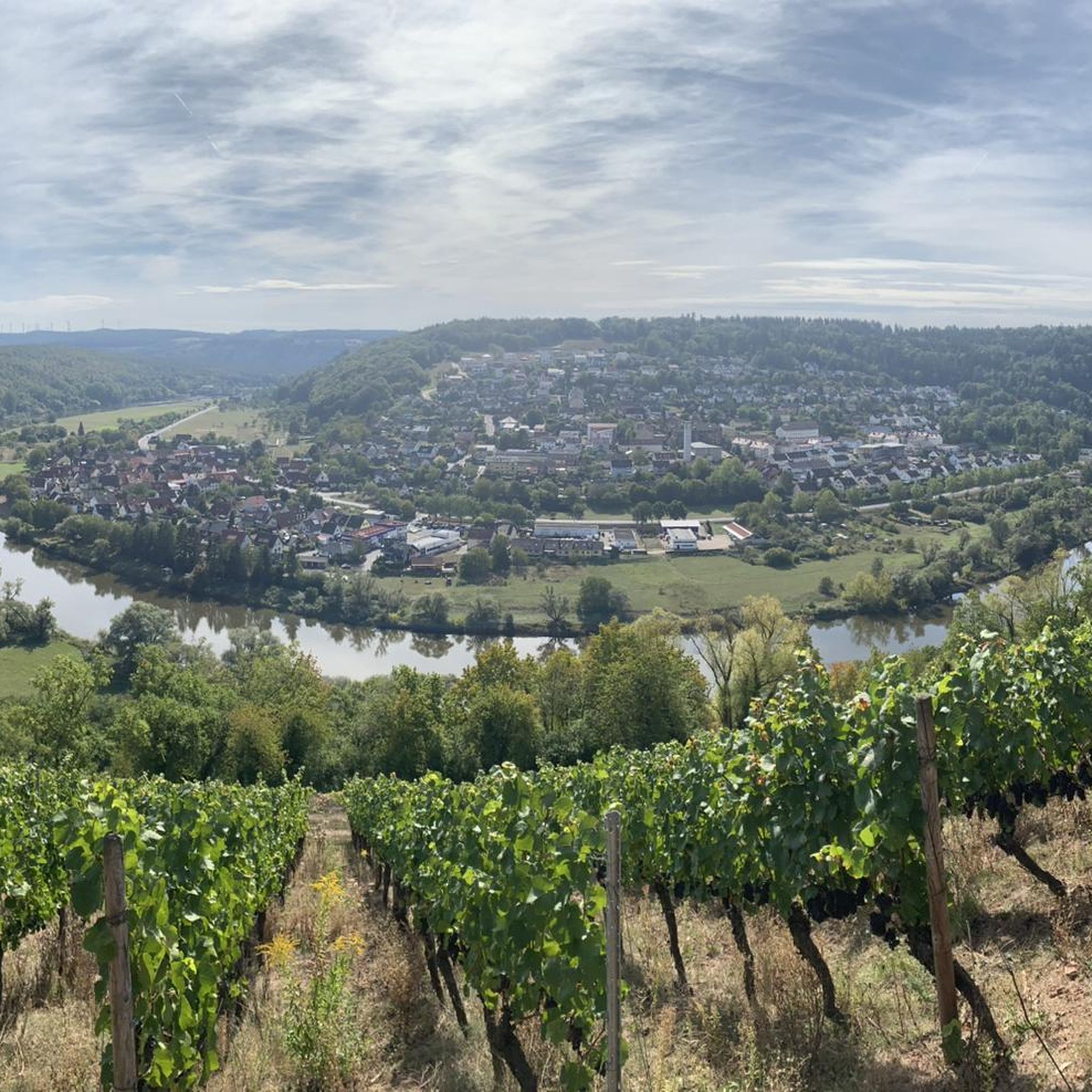
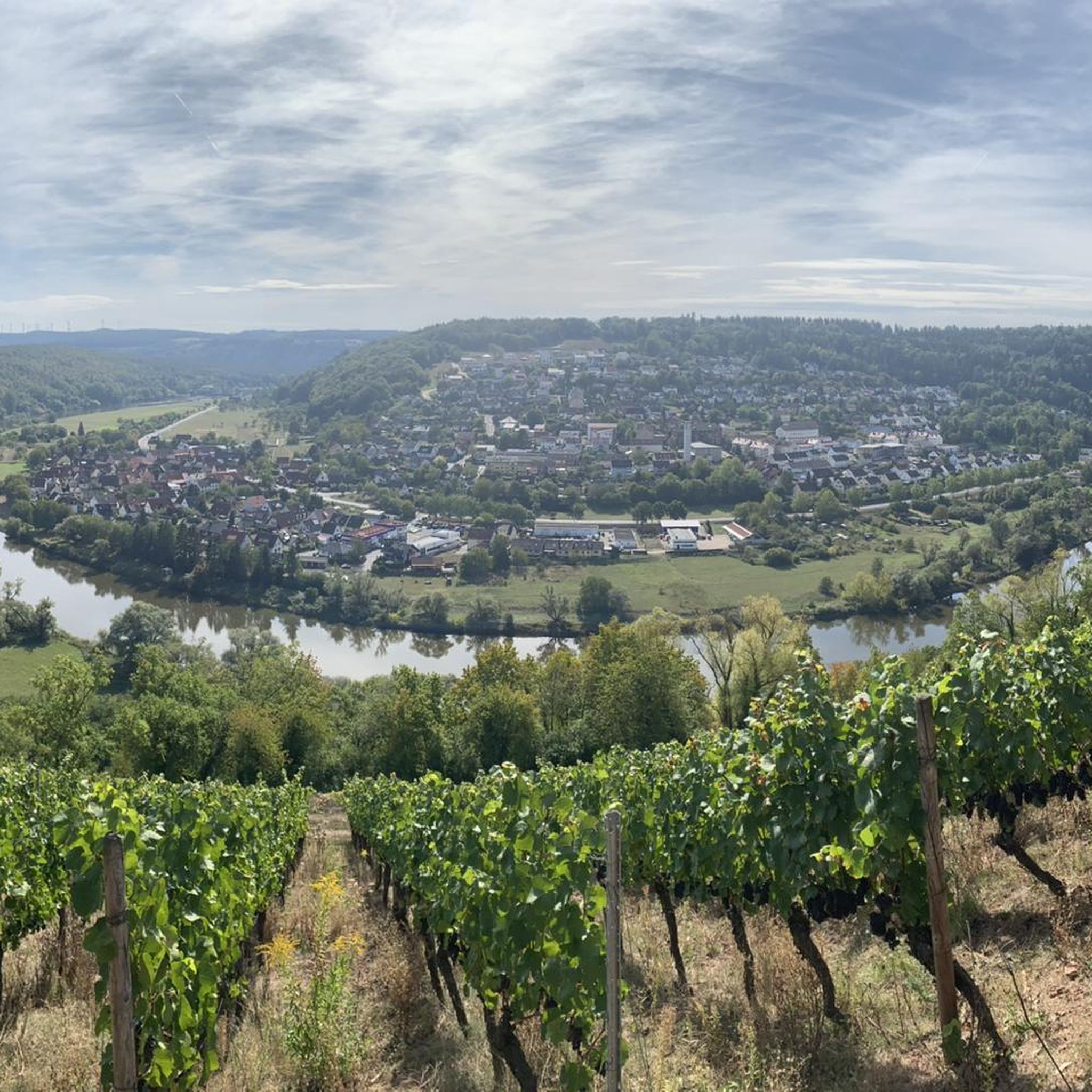
Hiking around Kreuzwertheim offers diverse landscapes at the confluence of the Main and Tauber rivers, providing varied topographical elements for outdoor enthusiasts. The region features rolling hills, dense forests, and extensive vineyards, particularly around the Kaffelstein. Trails often run along the Main River, including paths through the Himmelreich Nature Reserve, a pristine area within a river loop. The area is also situated near the vast Spessart Nature Park, contributing to its abundant natural beauty.
Best hiking trails around Kreuzwertheim
- The…
Last updated: October 4, 2026
4.7
(27)
114
hikers
4.81km
01:21
100m
100m
Easy hike. Great for any fitness level. Easily-accessible paths. Suitable for all skill levels.
4.8
(24)
68
hikers
4.57km
01:15
70m
70m
Easy hike. Great for any fitness level. Easily-accessible paths. Suitable for all skill levels.

4.2
(14)
51
hikers
6.03km
01:45
150m
150m
Easy hike. Great for any fitness level. Easily-accessible paths. Suitable for all skill levels.
4.5
(2)
40
hikers
4.92km
01:15
20m
20m
Easy hike. Great for any fitness level. Easily-accessible paths. Suitable for all skill levels.
3.8
(5)
29
hikers
28.3km
07:46
460m
460m
Hard hike. Very good fitness required. Easily-accessible paths. Suitable for all skill levels.
Get access to more routes and recommendations from other explorers.
Already have an account?
Our route recommendations are based on thousands of hikes, rides, and runs completed by other people on komoot.
Start today with a free account
Your next adventure awaits.
Popular around Kreuzwertheim
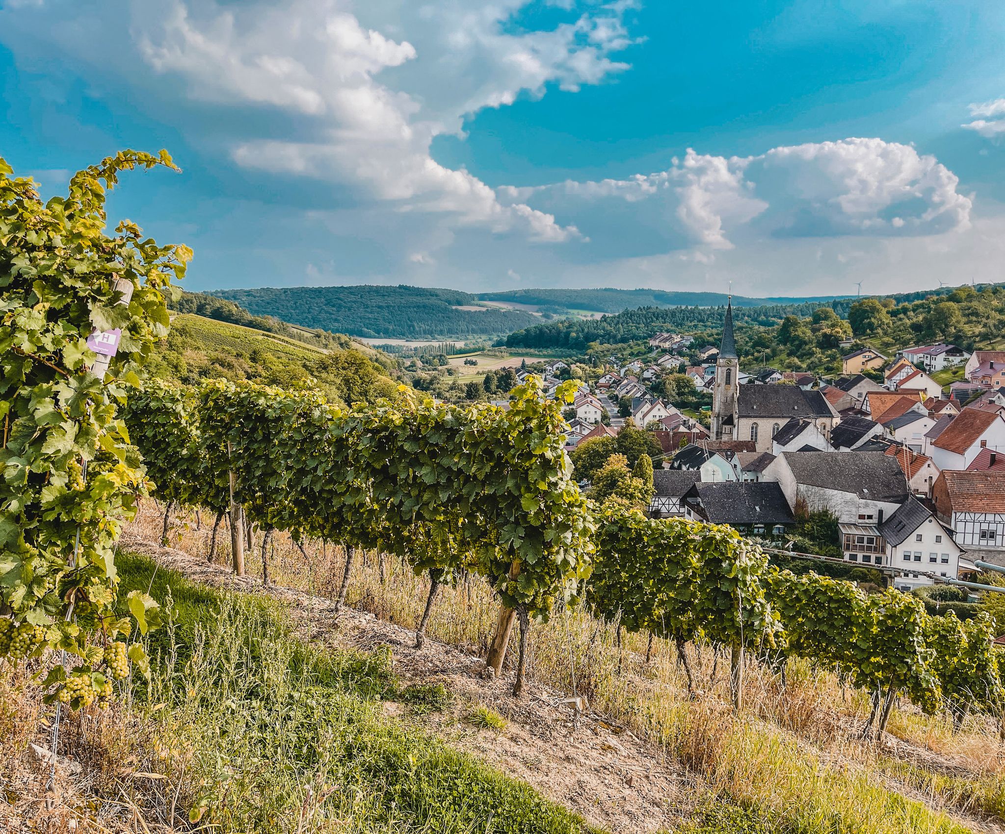
Vineyards and meadows — cycling with wine in the Tauber Valley
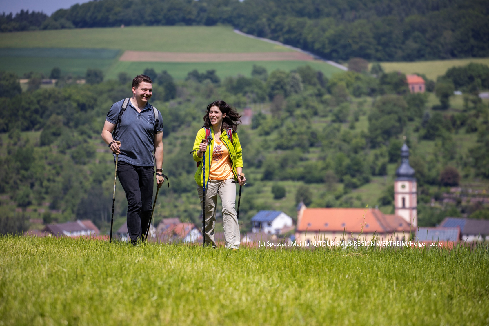
Wandern in Wertheim, Freudenberg, Kreuzwertheim und Külsheim
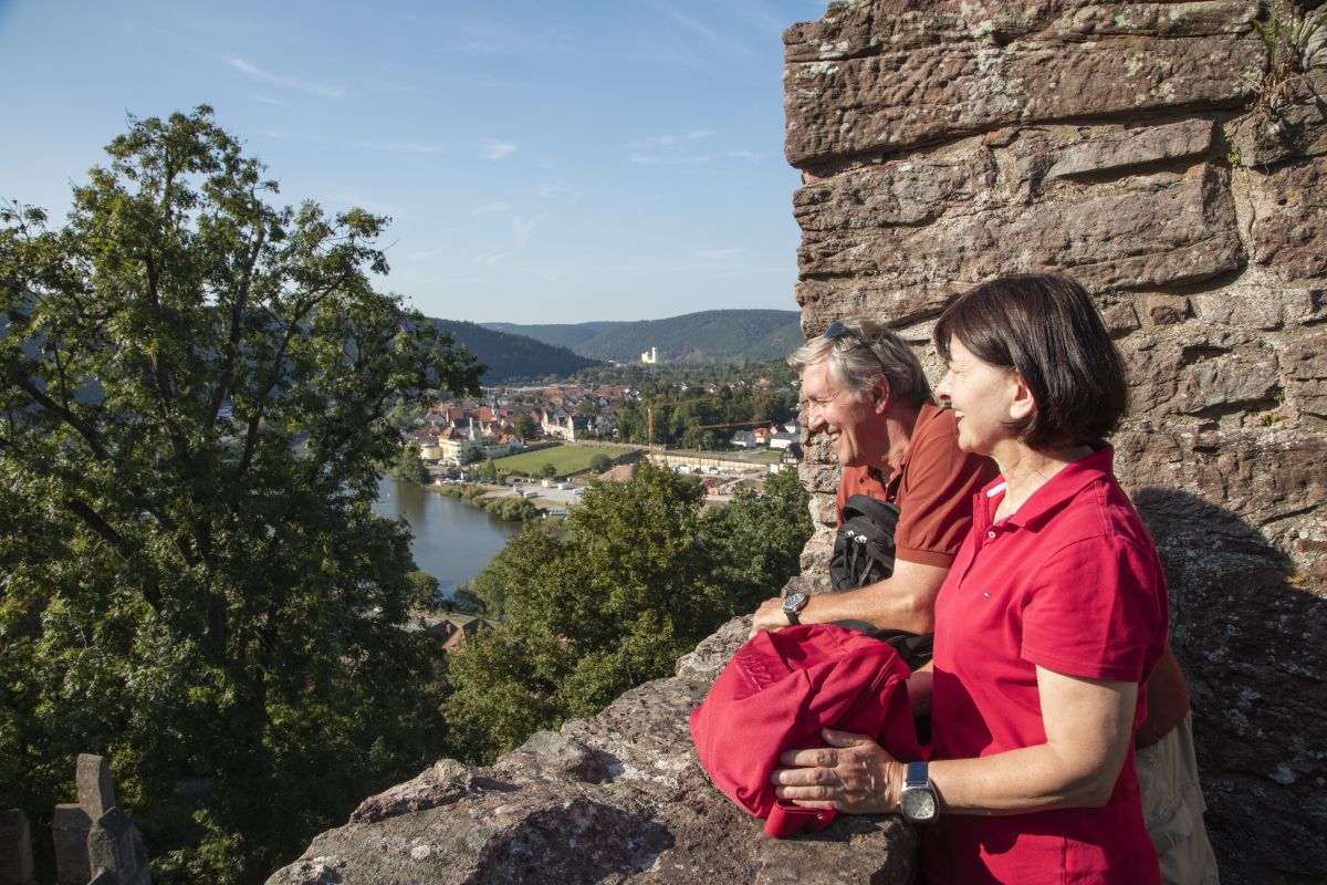
Wandern in und um Wertheim
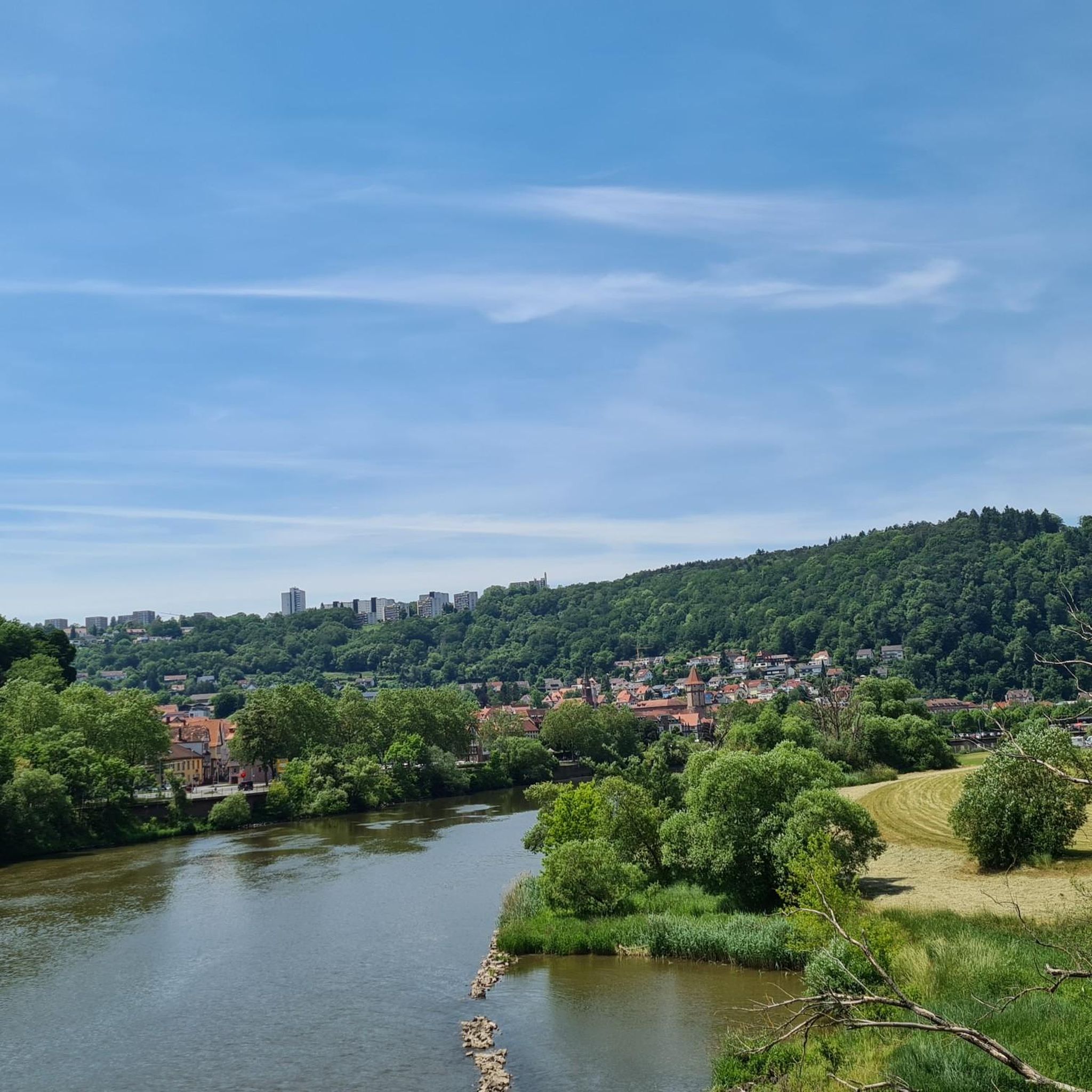
Road Cycling Routes around Kreuzwertheim
MTB Trails around Kreuzwertheim
Cycling around Kreuzwertheim
Running Trails around Kreuzwertheim
Gravel biking around Kreuzwertheim
Other adventures around Kreuzwertheim


Tips from the Community

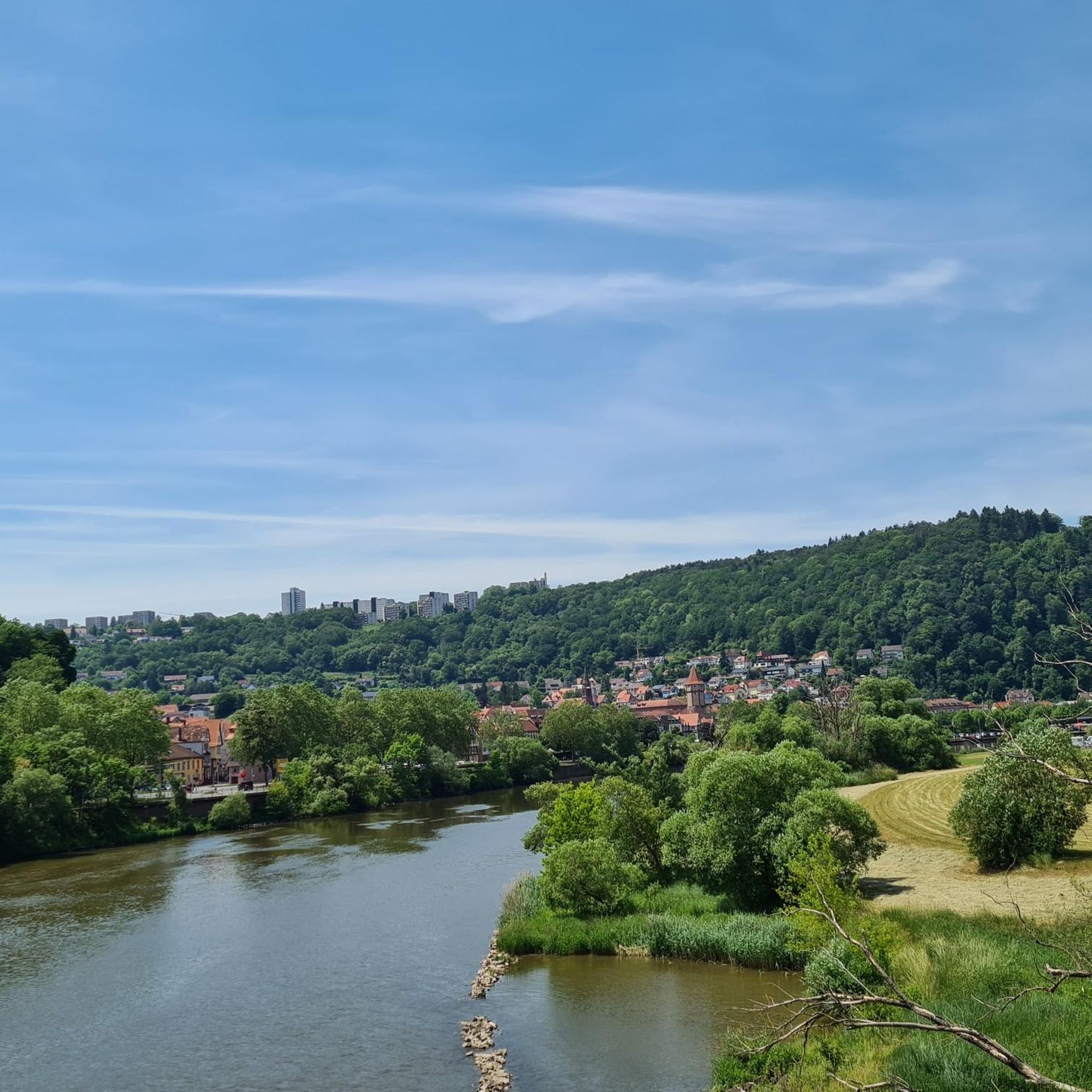
Along the Höheweg, you always have a magnificent view of the Main, the Main loop, and the Himmelreich opposite. Highly recommended.
3
0
The old Main bridge to Kreuzwertheim was formerly a railway bridge. The steel structure with the rails was dismantled at the end of the 1980s. It can still be seen in old photographs.
3
0

A pleasure at any time of year, especially in the evenings
0
0

Wertheim Castle is the ruin of a hilltop castle on a high, narrow promontory between the two valleys of the Main and Tauber rivers above the town of Wertheim. It is one of the oldest castle ruins in Baden-Württemberg. Wertheim Castle was first documented in 1183 and, "starting from the upper castle, was expanded over several construction periods into a spacious castle complex until its destruction in the Thirty Years' War." The keep (around 1200) and the palace from the second third of the 13th century still stand from the upper castle. Adjacent to the palace is another residential building, in which remnants of an older structure have been preserved. The town was a "planned foundation at the foot of the castle." Construction of the city fortifications must have begun as early as 1200; they eventually enclosed the castle and town with a ring of walls. Source: Wikipedia
1
0
Wertheim Castle is the ruin of a hilltop castle on a high, narrow promontory between the two valleys of the Main and Tauber rivers above the town of Wertheim. It is one of the oldest castle ruins in Baden-Württemberg. Wertheim Castle was first documented in 1183 and, "starting from the upper castle, was expanded over several construction periods into a spacious castle complex until its destruction in the Thirty Years' War." The keep (around 1200) and the palace from the second third of the 13th century still stand from the upper castle. Adjacent to the palace is another residential building, in which remnants of an older structure have been preserved. The town was a "planned foundation at the foot of the castle." Construction of the city fortifications must have begun as early as 1200; they eventually enclosed the castle and town with a ring of walls. Source: Wikipedia
3
0
Eichel is home to what is believed to be the oldest church in the Main-Franken region of Baden, a fortified church dating back to the 9th century. Eichel was an independent municipality within the Tauberbischofsheim district until its incorporation into Wertheim in 1935. Since January 1, 1973, the village has been part of the Main-Tauber district. Source: Wikipedia
1
0

Eichel Dam – Technology Meets Nature Tip: An exciting place for technology enthusiasts, nature observers, and photographers. The Eichel Dam not only offers a great view of the Main River, but also impressive structures and hydropower in action. The reflection in the calm water is particularly beautiful – ideal for a photo. Why stop by? The dam combines impressive engineering with a tranquil river landscape. Those who arrive early can often observe waterfowl and migratory birds or see a cargo ship passing through the lock. A perfect starting or ending point for a hike around the Bettingberg Tunnel. ---
1
0
Wertheim Village is a factory outlet center located in the Almosenberg industrial park of Wertheim in the Main-Tauber district in northern Baden-Württemberg. The outlet center opened in 2003 at the Wertheim/Lengfurt junction of the A3 motorway and was gradually expanded in the following years. The outlet center welcomes up to 2.8 million visitors annually and, thanks to its location on the A3 motorway, has a nationwide catchment area, particularly in Frankfurt am Main, Würzburg, Nuremberg, and Mannheim. Approximately 3,500 parking spaces are available for visitors. With a total area of 27,000 square meters, Wertheim Village comprises approximately 110 stores with items from over 100 German and international brands in the fashion, beauty, and lifestyle sectors. Source: Wikipedia Website: https://www.wertheimvillage.com
1
0
Frequently Asked Questions
How many hiking trails are there in Kreuzwertheim?
Kreuzwertheim offers a diverse network of over 80 hiking trails. These routes cater to various abilities, with more than 45 easy trails, 30 moderate options, and a few challenging routes for experienced hikers.
Are there family-friendly hiking trails in Kreuzwertheim?
Yes, Kreuzwertheim is well-suited for families. Many trails are easy and accessible, such as the Kaffelstein Monument Viewpoint – Kaffelstein Archway loop from Wertheim, which is an easy 3.0-mile route. The region also features the "Entdeckerpfad" (Discovery Trail), specifically designed to be engaging for families with children.
What kind of landscapes can I expect to see while hiking in Kreuzwertheim?
Hikers in Kreuzwertheim will experience a rich variety of landscapes. The region is characterized by idyllic riverine beauty along the Main River, rolling hills, dense forests, and extensive vineyards, particularly around the Kaffelstein. You can also explore the pristine Himmelreich Nature Reserve, a unique loop of the Main River, and enjoy views of the Spessart Nature Park.
Are there any circular hiking routes in Kreuzwertheim?
Yes, many of the trails around Kreuzwertheim are circular, offering convenient starting and ending points. For instance, the Kaffelstein Archway – View of Wertheim Castle loop from Wertheim is an easy circular route that provides scenic views.
What are some notable landmarks or attractions I can see on a hike?
Several trails offer stunning views of historic landmarks. You can enjoy vistas of Wertheim Castle from various points, especially on routes around Kaffelstein. Other nearby castles include Homburg Castle on the Main and Henneburg Castle.
What do other hikers enjoy most about hiking in Kreuzwertheim?
The hiking trails in Kreuzwertheim are highly regarded by the komoot community, with an average rating of 4.3 stars from over 500 reviews. Hikers frequently praise the diverse terrain, the tranquil river views, and the well-maintained paths that lead through forests, vineyards, and along the Main River.
Are there any challenging hiking routes for experienced hikers?
Yes, for those seeking a greater challenge, Kreuzwertheim offers 7 difficult hiking routes. An example is the Wertheim Castle – Wertheim Castle loop from Kreuzwertheim, a demanding 17.6-mile trail that takes nearly 8 hours to complete and features significant elevation changes.
Can I hike with my dog in Kreuzwertheim?
Many trails in Kreuzwertheim are suitable for hiking with dogs. The natural landscapes, including forests and river paths, provide excellent opportunities for you and your canine companion to explore. Always ensure your dog is on a leash where required and respect local wildlife.
Are there any trails that follow the Main River?
Absolutely. The Main River is a central feature of the region, and many trails run directly along its banks. A section of the extensive 600-kilometer Mainwanderweg passes through Kreuzwertheim, offering picturesque river views. The Sandy Bay on the Main River – Wittwichsbach Picnic Shelter loop from Wertheim is a moderate route that closely follows the river.
What is the best time of year to go hiking in Kreuzwertheim?
Kreuzwertheim offers beautiful hiking experiences throughout much of the year. Spring and autumn are particularly popular, with pleasant temperatures and vibrant natural colors in the forests and vineyards. Summer provides lush greenery and opportunities for riverside walks, while winter can offer serene, snow-dusted landscapes, though some paths might be more challenging.
Are there places to eat or stay for hikers in Kreuzwertheim?
Kreuzwertheim and the surrounding towns offer various options for accommodation and gastronomy. You'll find local restaurants, cafes, and guesthouses that cater to visitors, providing opportunities to refuel and relax after a day on the trails.
Are there easy hiking trails suitable for beginners?
Yes, Kreuzwertheim has over 45 easy hiking trails perfect for beginners or those looking for a relaxed walk. These routes typically have minimal elevation gain and are well-maintained, such as the Wittwichsbach Picnic Shelter loop from Wertheim, an easy 3.0-mile path.
Most popular routes around Kreuzwertheim
Most popular attractions around Kreuzwertheim

Get inspired with the komoot mobile app


Explore more
Browse the best Hikes in other regions.
