The 7 Most Amazing Peaks around Jämlitz-Klein Düben
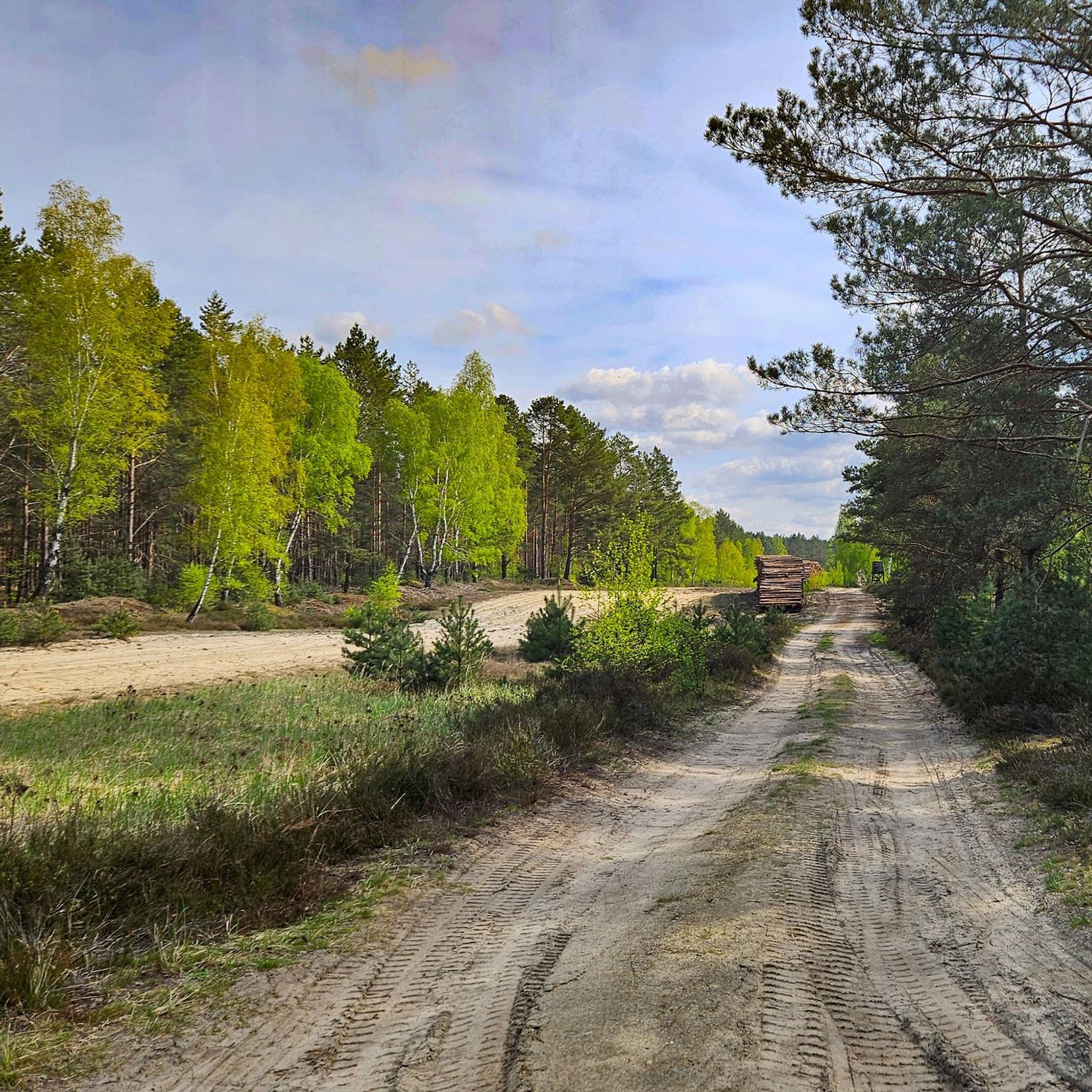
Mountain peaks around Jämlitz-Klein Düben are characterized by a generally low elevation, offering elevated points that serve as local "peaks." The Jämlitz-Klein Düben geography features picturesque, hilly landscapes rather than towering summits. These elevated areas provide opportunities for experiencing the local landscape and engaging with regional history. Visitors can find scenic views and recreational opportunities within the gentle topography of Brandenburg.
Best mountain peaks around Jämlitz-Klein Düben
- The most popular mountain peaks is Drachenberge, a trail and summit with…
Last updated: June 27, 2026
Drachenberge
Highlight • Trail
How did the Drachenberg get its name?
A legend tells that God created Lusatia and …
Translated by Google •
Tip by

Vineyard near Weißwasser
Highlight • Summit
Translated by Google •
Tip by

Sign up now to discover places like this
Get recommendations on the best single tracks, peaks, & plenty of other exciting outdoor places.
Sign up for free
Lissberg – The Mountain Where the Fox Lives
Highlight • Summit
Translated by Google •
Tip by
Marienberg in Park Krajobrazowy Łuk Mużakowa
Highlight • Summit
Translated by Google •
Tip by
First-Order Triangulation Station Brandberg
Highlight • Monument
Translated by Google •
Tip by

Sign up for free to discover even more peaks around Jämlitz-Klein Düben.
Sign up for free
Already have an account?
Start today with a free account
Your next adventure awaits.
Login or Signup
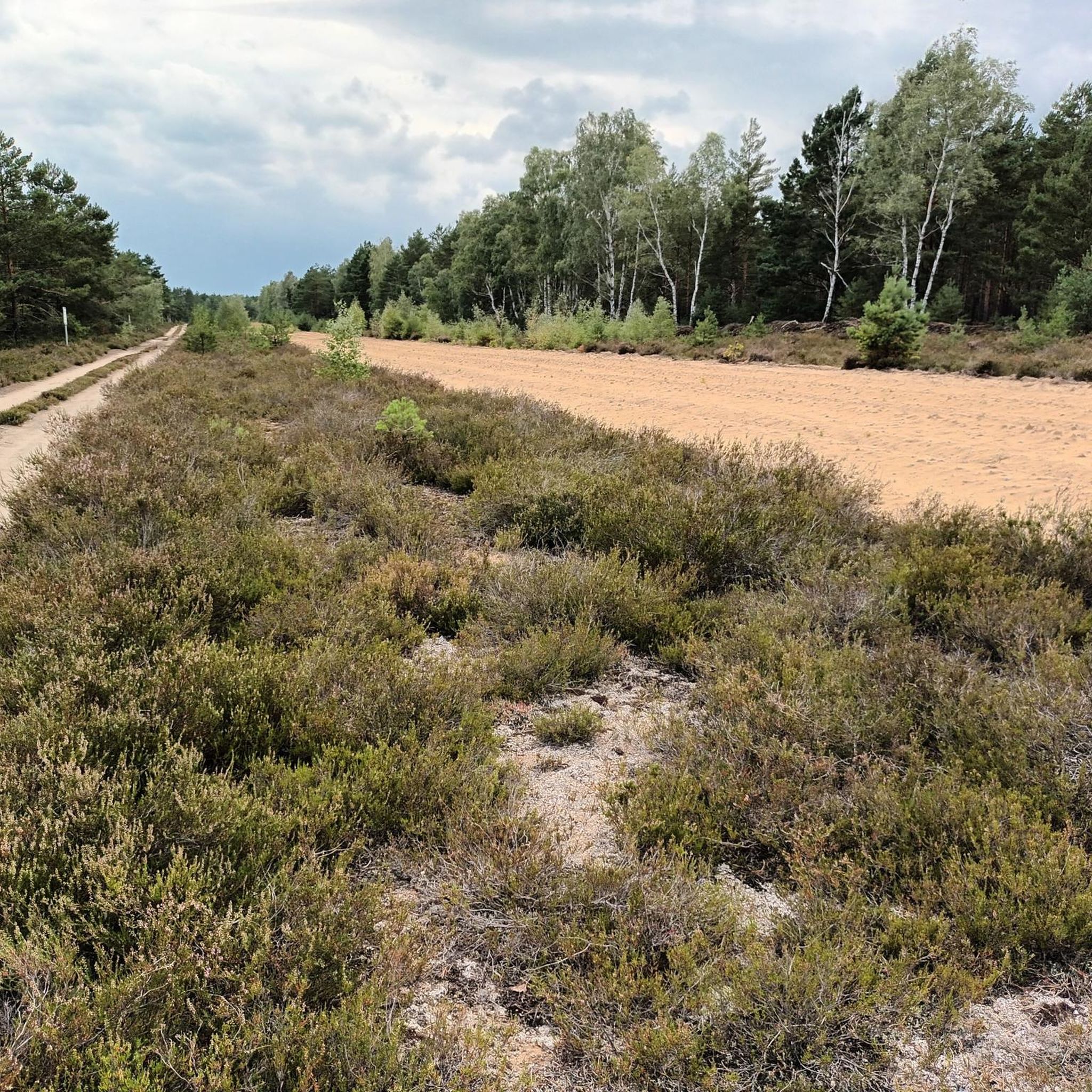
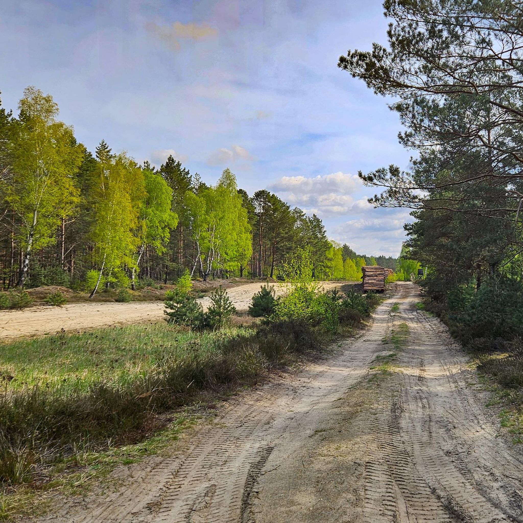
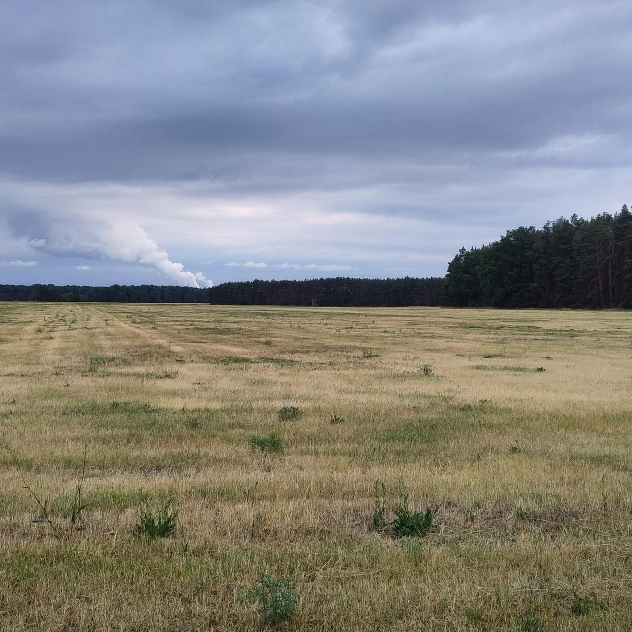
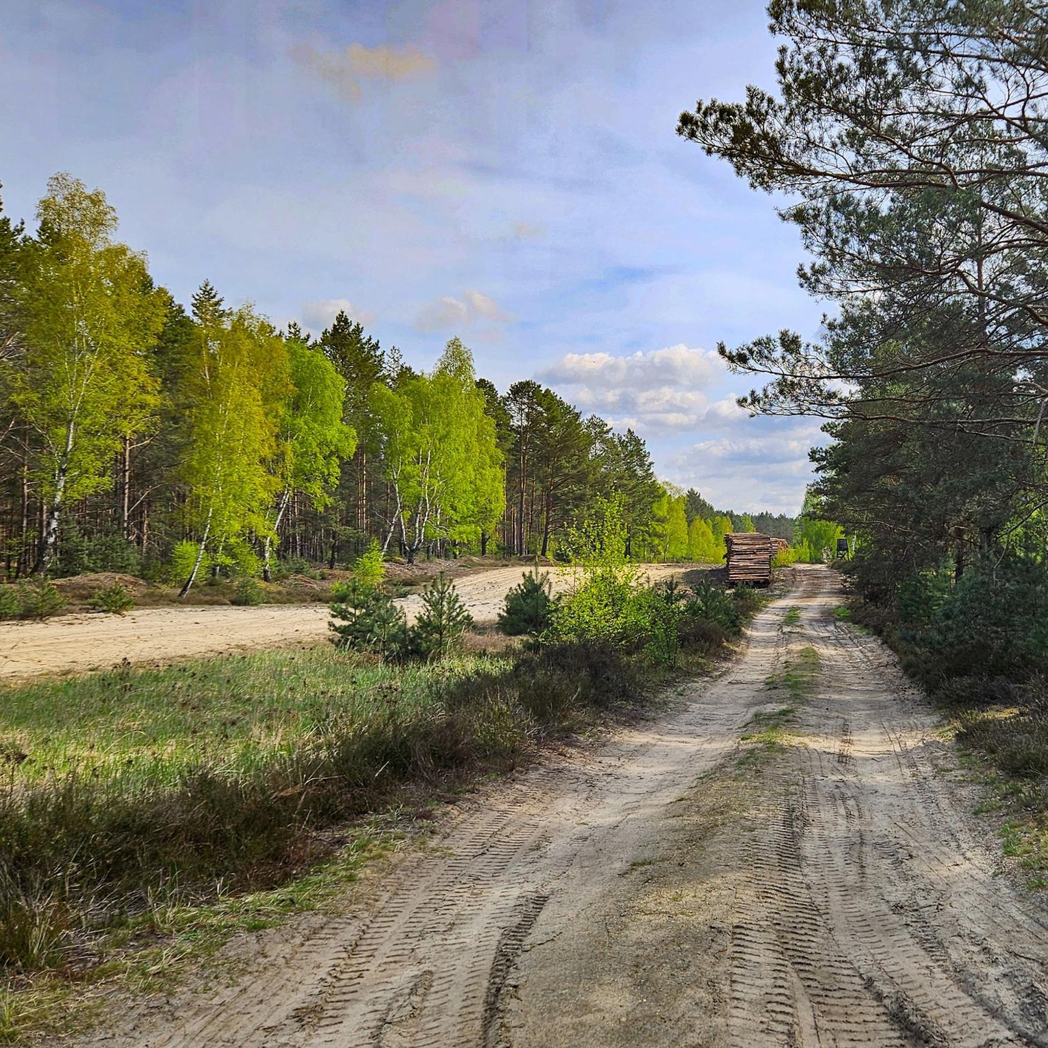
Tips from the Community

There are several Marienberg hills in the Muskau Arch. After the Herrenberg, this Marienberg is the second highest elevation in the Polish part of Muskau Park.
1
0
Part of the Panorama Trail. Leads from the Prince's Bridge to the Nightingale Trail.
1
0
Prince Pückler's grandfather actually grew wine here. A fire watchtower was built at the beginning of the 20th century. Below the hill are the Weinberghaus (formerly a tourist restaurant, now a private residence) and the Weinbergsee, a natural body of water. The Weinberg/Feuerturmberg is the second highest elevation in the former Weißwasser district after the Drachenberg.
8
0

The granite pillar embedded on the summit of the 175 m high Brandberg served as a first-order station for the triangulation of the European degree measurement. The Royal Prussian State Survey recorded the Märkisch Silesian triangular chain in the period from 1868 to 1872 and thus connected the triangular networks of the Kingdom of Saxony (Royal Saxon Triangulation) and the coastal survey with the Berlin base. The Brandberg station was number 21 in the Märkisch-Silesian triangle chain and from this station the peaks of Keulenberg, Hochstein, Rückenberg, Hutberg, Marienberg and Brautberg were targeted for the survey. Especially when connecting to the Saxon network, one benefited from the highly precise triangulation between Keulenberg, Strauch and Collm. The Märkisch Silesian triangular group has a connection to the Saxon triangular network in the south as well as a connection to the Thuringian Saxon in the west and to the Silesian triangular group in the east. In the north there is a connection to the Berlin line and the Elbe chain. The granite pillar is certainly not as impressive as the pillars with the inscriptions that give it its name, but it served the same purpose and had to be brought up the mountain in the 19th century. Although the Brandberg is not the highest mountain on the western flank of the Muskau Arch (https://de.wikipedia.org/wiki/Muskauer_Faltenbogen), it still lives up to its name today, with a fire watchtower on the summit for early forest fire detection (not public). The wooden signal pyramid above the pillar is quite crooked.
1
0

The Drachenberg summit is the highest elevation at 163 m above sea level. N.N. Here is more information about a
1
0
Now the Drachenberg summit is in sight. it is 163m above sea level. Another effort uphill and then it's done,
2
1
Another interesting post from the LR: https://www.lr-online.de/lausitz/weisswasser/krauschwitz-nicht-pilze_-dafuer-ein-quickie-38017084.html
9
0

On the 162.8 m high Drachenberg you can enter your name in a summit book. How did the Drachenberg get its name? A legend tells that God created Lusatia and the devil put the coal on it. A dragon that settled here was supposed to protect the coal from humans. When humans began to mine the valuable raw material, dragon's blood seeped out of the dragon lying in the earth - known to us as red water. Little by little the kite dried up in the area between Krauschwitz and Weißwasser and left a large pool of blood: the brown pond. The back can still be seen today, because the many gies and elevations mark the peaks on the dragon's back. The largest of them is the Drachenberg. https://www.lr-online.de/lausitz/weisswasser/wie-der-drachenberg-zu-seinem-namen-kam-33304006.html
9
0
Frequently Asked Questions
What are the most popular elevated points around Jämlitz-Klein Düben?
The most popular elevated point is Drachenberge, known for its scenic views and a summit book. Another highly regarded spot is the Vineyard near Weißwasser, offering lake views and historical significance. Visitors also appreciate Lissberg – The Mountain Where the Fox Lives, which provides family-friendly hiking opportunities.
Are there family-friendly hiking options among the peaks in Jämlitz-Klein Düben?
Yes, Lissberg – The Mountain Where the Fox Lives is particularly known for its family-friendly trails and offers a pleasant hiking experience in a forest setting.
What unique natural features can I expect to see at these elevated points?
You can find diverse natural features such as dense forests, scenic viewpoints, and even a lake at the Vineyard near Weißwasser. The region's gentle topography provides picturesque, hilly landscapes.
Are there any historical sites or interesting legends associated with the peaks?
Absolutely. The Drachenberge (Dragon Mountain) is steeped in local legend, telling of a dragon protecting coal, whose back formed the area's peaks. Additionally, the Vineyard near Weißwasser has historical ties to Prince Pückler's grandfather, who grew wine there. The First-Order Triangulation Station Brandberg marks a significant historical surveying point.
What kind of outdoor activities can I do near the mountain peaks of Jämlitz-Klein Düben?
The area around Jämlitz-Klein Düben offers various outdoor activities. You can explore numerous hiking trails, enjoy running routes, or go cycling through the scenic landscapes.
What is the best time to visit the peaks in Jämlitz-Klein Düben?
The region's gentle topography makes it suitable for outdoor activities throughout much of the year. Spring and autumn offer pleasant temperatures and beautiful scenery, especially when the deciduous forests around places like Spitzer Berg change color. Summer is also great for exploring, while winter can provide a different, serene experience, though some trails might be more challenging.
Are there any hidden gems or less-known elevated points worth exploring?
While not a hidden gem in terms of views, the Spitzer Berg is one of the highest points in the Spree-Neiße district. It's known for its beautiful deciduous forest, particularly in autumn, and a large heathland area that blooms from August to early September. It's also an excellent area for mushroom hunting when conditions are right.
What are the typical difficulty levels for trails leading to these peaks?
Most elevated points and their surrounding trails in Jämlitz-Klein Düben are generally considered intermediate difficulty, suitable for a wide range of hikers. Some, like the Lissberg, offer family-friendly options, while others might present slightly more challenging sections, such as reaching the Spitzer Berg by bike.
Where can I find scenic viewpoints among the peaks?
Several elevated points offer scenic viewpoints. The Drachenberge, Vineyard near Weißwasser, and Lissberg – The Mountain Where the Fox Lives all provide opportunities for panoramic views of the surrounding hilly landscapes.
What do visitors enjoy most about the mountain peaks around Jämlitz-Klein Düben?
Visitors particularly enjoy the unique blend of nature and local folklore, especially the legend surrounding the Drachenberge. The area's picturesque, hilly landscapes, opportunities for hiking, and the chance to discover historical sites like the First-Order Triangulation Station Brandberg are also highly appreciated.
Are there specific hiking routes recommended near these elevated points?
Yes, you can find various hiking routes nearby. For example, the Hiking around Jämlitz-Klein Düben guide features routes like the 'Blueberry Bridge loop from Bad Muskau' and the 'Rakotz Bridge (Devil's Bridge) loop from Bad Muskau', offering diverse experiences.
Most popular routes around Jämlitz-Klein Düben
Most popular attractions around Jämlitz-Klein Düben

Get inspired with the komoot mobile app


Explore more
See even more amazing summits around Jämlitz-Klein Düben with these guides:
