The 6 Most Amazing Peaks around Felixsee
Best mountain peaks around Felixsee are characterized by a unique "mountain and valley relief" rather than traditional towering peaks. This distinctive landscape, part of the UNESCO Global Geopark Muskauer Faltenbogen, was shaped by glacial forces and former lignite mining. The average elevation for Felixsee is around 140 meters above sea level, offering undulating terrain and rolling hills. The region also features numerous post-mining lakes, contributing to its picturesque natural landscape.
Best mountain peaks around Felixsee
- The most popular mountain peaks…
Last updated: June 27, 2026
German War Cemetery on Georgenberg
Highlight • Historical Site
Translated by Google •
Tip by

Lissberg – The Mountain Where the Fox Lives
Highlight • Summit
Translated by Google •
Tip by

Sign up now to discover places like this
Get recommendations on the best single tracks, peaks, & plenty of other exciting outdoor places.
Sign up for free
First-Order Triangulation Station Brandberg
Highlight • Monument
Translated by Google •
Tip by

Spitzer Berg
Highlight • Summit
Translated by Google •
Tip by
Mount Geidlich
Highlight • Summit
Translated by Google •
Tip by

Sign up for free to discover even more peaks around Felixsee.
Sign up for free
Already have an account?
Start today with a free account
Your next adventure awaits.
Login or Signup
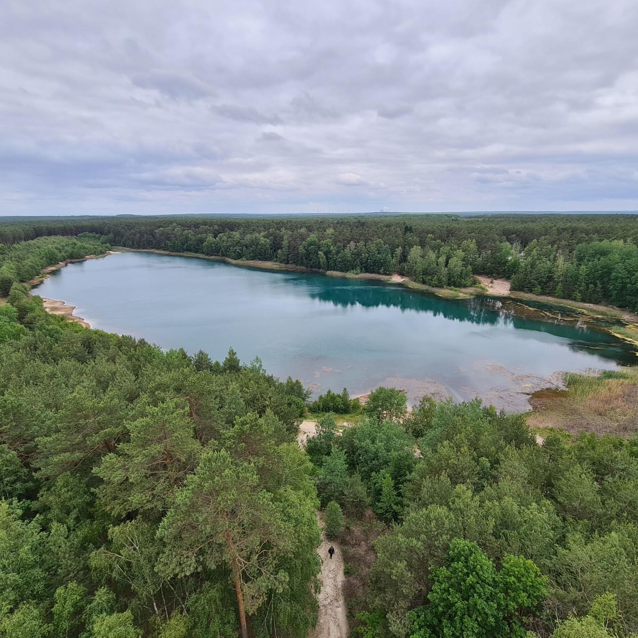
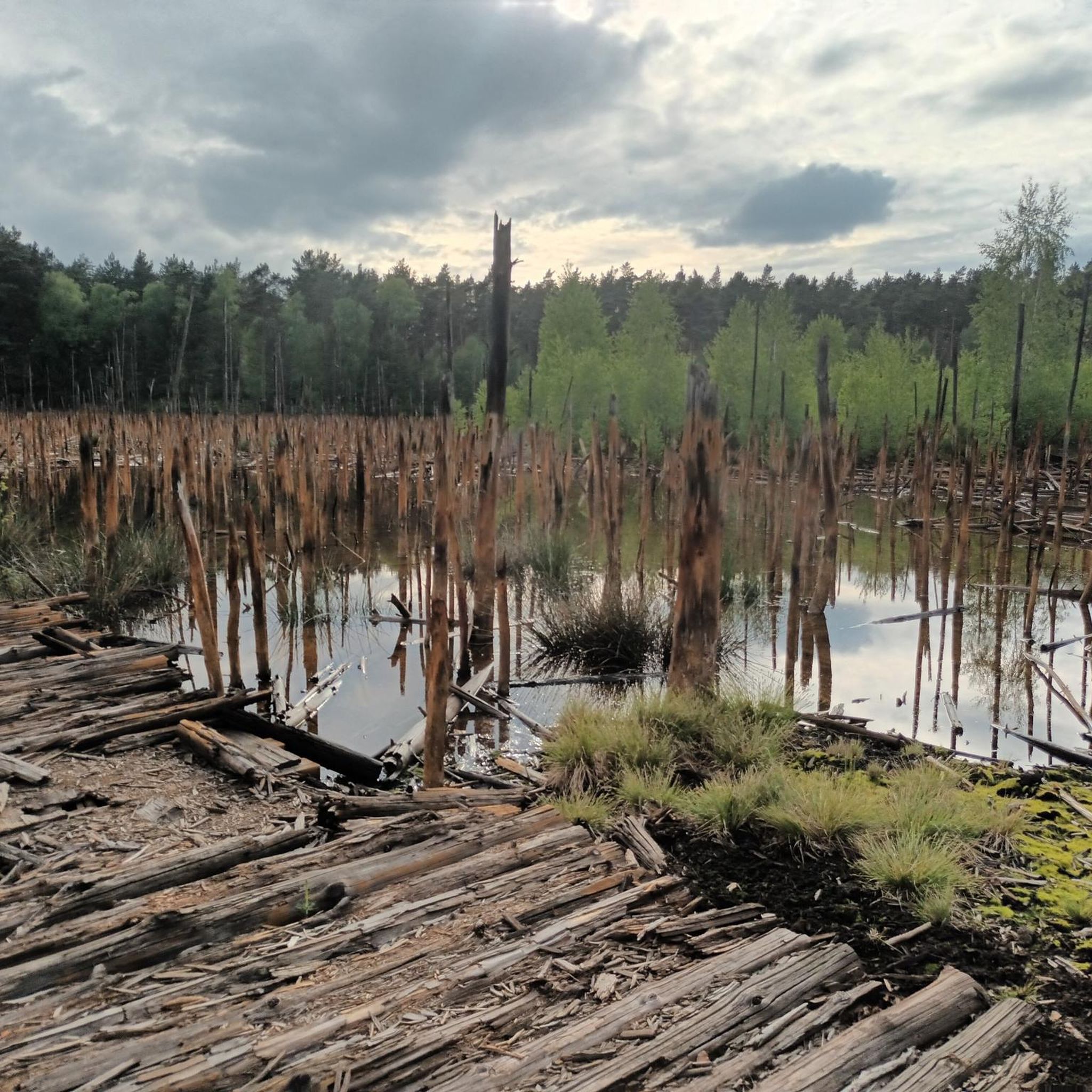
Tips from the Community

Difficult to reach by bike, but mountain bikes or e-bikes are advantageous. Unfortunately, there's no view from the top...
1
0

There is no view, but the Spitze Berg is one of the highest points in the Spree-Neiße district at 155 meters above sea level. Opposite the mountain is a deciduous forest, which is particularly beautiful in autumn when the leaves change color. A little further on is a large heathland area, which blooms from August to early September. When the weather is right, the entire area is an excellent mushroom hunting area.
1
0

PLEASE PUSH YOUR BIKE HERE! German military cemetery with high cross, central burial site for war victims. Also the last remaining hereditary burial sites in the city on Georgenberg.
0
0

Thanks for the info.
1
1

Funny name for the raised hill at the German-Sorbian school complex in Schleife. There is even a summit cross. At the foot of the mountain there is a bench for a rest and there is even a trash can. The name refers to the construction department manager in Schleife.
1
0

We shouldn't forget you even if we don't know your names!
1
0

The old comrades from the Battle of Kausche are buried here
3
0

The granite pillar embedded on the summit of the 175 m high Brandberg served as a first-order station for the triangulation of the European degree measurement. The Royal Prussian State Survey recorded the Märkisch Silesian triangular chain in the period from 1868 to 1872 and thus connected the triangular networks of the Kingdom of Saxony (Royal Saxon Triangulation) and the coastal survey with the Berlin base. The Brandberg station was number 21 in the Märkisch-Silesian triangle chain and from this station the peaks of Keulenberg, Hochstein, Rückenberg, Hutberg, Marienberg and Brautberg were targeted for the survey. Especially when connecting to the Saxon network, one benefited from the highly precise triangulation between Keulenberg, Strauch and Collm. The Märkisch Silesian triangular group has a connection to the Saxon triangular network in the south as well as a connection to the Thuringian Saxon in the west and to the Silesian triangular group in the east. In the north there is a connection to the Berlin line and the Elbe chain. The granite pillar is certainly not as impressive as the pillars with the inscriptions that give it its name, but it served the same purpose and had to be brought up the mountain in the 19th century. Although the Brandberg is not the highest mountain on the western flank of the Muskau Arch (https://de.wikipedia.org/wiki/Muskauer_Faltenbogen), it still lives up to its name today, with a fire watchtower on the summit for early forest fire detection (not public). The wooden signal pyramid above the pillar is quite crooked.
1
0
Frequently Asked Questions
What kind of 'mountain peaks' can I expect to find around Felixsee?
The Felixsee region is characterized by a unique 'mountain and valley relief' rather than traditional towering peaks. These elevated points are mostly rolling hills and undulating terrain, shaped by glacial forces and former lignite mining. The average elevation is around 140 meters above sea level, offering distinctive landscapes to explore.
What natural features define the landscape around Felixsee's peaks?
The landscape around Felixsee is part of the UNESCO Global Geopark Muskauer Faltenbogen, known for its geologically significant formations. You'll find dry, closed valleys called 'geisers' and numerous picturesque post-mining lakes, including Felixsee itself, which contribute to the area's unique natural beauty.
Are there any historical sites among the peaks near Felixsee?
Yes, the region offers historical points of interest. One significant site is the German War Cemetery on Georgenberg, which serves as a relocation cemetery for war graves and is part of a larger memorial area. Another is the First-Order Triangulation Station Brandberg, a historical man-made monument that played a role in 19th-century land surveying.
Are there good viewpoints among the peaks near Felixsee?
While not towering mountains, several elevated points offer scenic views. The Lissberg – The Mountain Where the Fox Lives and Spitzer Berg are summits with viewpoints. Additionally, the Felixsee Observation Tower, though not a natural peak, provides panoramic views of the unique landscape and the broader UNESCO Global Geopark Muskauer Faltenbogen.
What makes the <a href="https://www.komoot.com/highlight/7111601" target="_blank" rel="noopener">Spitzer Berg</a> a notable peak?
The Spitzer Berg is one of the highest points in the Spree-Neiße district, reaching 155 meters above sea level. It features a beautiful deciduous forest, particularly stunning in autumn, and a large heathland area that blooms from August to early September. It's also known as an excellent mushroom hunting area when conditions are right.
Are there family-friendly elevated points or 'peaks' to visit around Felixsee?
Yes, there are family-friendly options. The Lissberg – The Mountain Where the Fox Lives is categorized as family-friendly, offering hiking opportunities. Also, Mount Geidlich, a raised hill with a summit cross, is considered family-friendly and has a bench for resting at its base.
What outdoor activities can I do near these elevated points?
The Felixsee area is excellent for various outdoor activities. You can enjoy hiking on numerous trails, including easy routes around the Felixsee lake. There are also several road cycling routes available. For more details and specific routes, you can explore the Easy hikes around Felixsee, Hiking around Felixsee, and Road Cycling Routes around Felixsee guides.
What do visitors enjoy most about the elevated points and landscape around Felixsee?
Visitors appreciate the unique geological formations of the Muskauer Faltenbogen and the serene beauty of the post-mining lakes. The opportunity to explore historical sites like the German War Cemetery on Georgenberg and enjoy panoramic views from spots like the Felixsee Observation Tower or the Lissberg are also highly valued.
Are there any unique or lesser-known elevated spots worth exploring?
Beyond the more prominent spots, you might enjoy Mount Geidlich, a raised hill with a summit cross near a German-Sorbian school complex. It offers a quiet spot for a rest and a unique local story behind its name.
What is the <a href="https://www.komoot.com/highlight/3634465" target="_blank" rel="noopener">Lissberg – The Mountain Where the Fox Lives</a>?
The Lissberg is a summit and natural monument reaching 154 meters above sea level. It's a popular spot for hiking, and you can also explore the nearby Wolfsschlucht, which leads into the Neißetal. It's known for its forest and offers a pleasant viewpoint.
Can I find forest areas around the elevated points in Felixsee?
Yes, many of the elevated points are surrounded by or feature forest areas. For instance, the Lissberg is known for its forest, and the Spitzer Berg boasts a beautiful deciduous forest that is particularly vibrant in autumn.
Most popular routes around Felixsee
Most popular attractions around Felixsee

Get inspired with the komoot mobile app


Explore more
See even more amazing summits around Felixsee with these guides:
