The 8 Most Amazing Peaks around Bad Colberg-Heldburg
Best mountain peaks around Bad Colberg-Heldburg refers to the charming, hilly landscape of this region in Thuringia, Germany. With an average elevation of 299 meters, the area features picturesque scenery and elevated points popular for hiking. The fertile, hilly Heldburger Keuper landscape offers numerous trails for outdoor recreation and exploring the natural environment.
Best mountain peaks around Bad Colberg-Heldburg
- The most popular mountain peaks is Heldburg Fortress, a castle that houses the German Castle Museum. This immaculately restored complex…
Last updated: June 27, 2026
Heldburg Fortress
Highlight • Castle
Translated by Google •
Tip by

Straufhain Castle Ruins
Highlight • Castle
Translated by Google •
Tip by
Sign up now to discover places like this
Get recommendations on the best single tracks, peaks, & plenty of other exciting outdoor places.
Sign up for free
View from Spanshügel
Highlight • Viewpoint
Translated by Google •
Tip by

View of Bleßberg and the Lange Berge
Highlight • Viewpoint
Translated by Google •
Tip by

Taufstein Peter Christian Kent, Watzendorf
Highlight • Monument
Translated by Google •
Tip by

Sign up for free to discover even more peaks around Bad Colberg-Heldburg.
Sign up for free
Already have an account?
Start today with a free account
Your next adventure awaits.
Login or Signup
Popular around Bad Colberg-Heldburg
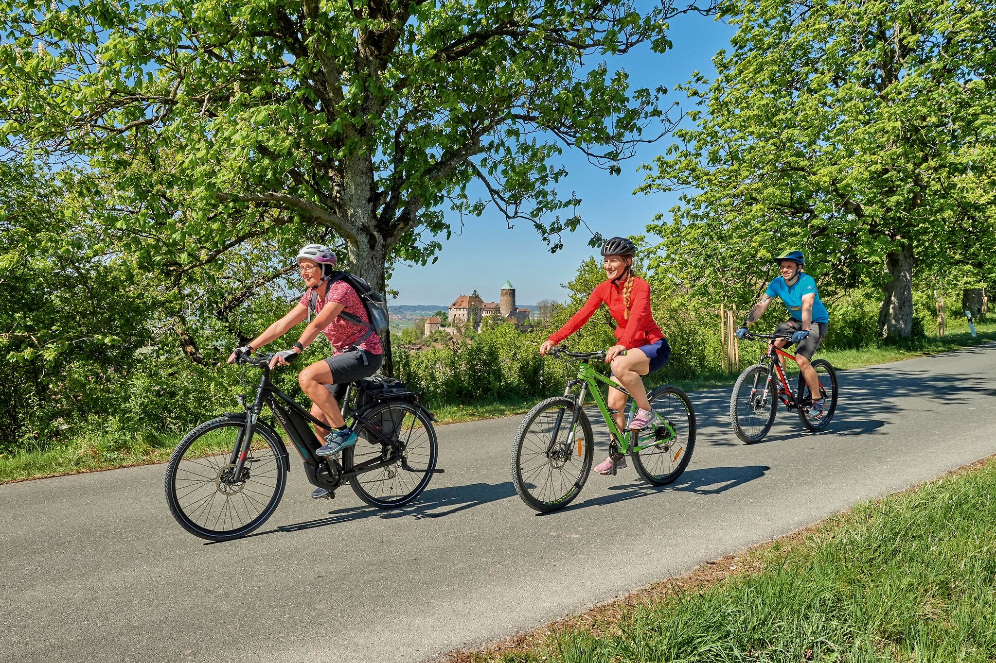
Sustainable cycling holidays — e-bike Tours through Franconia
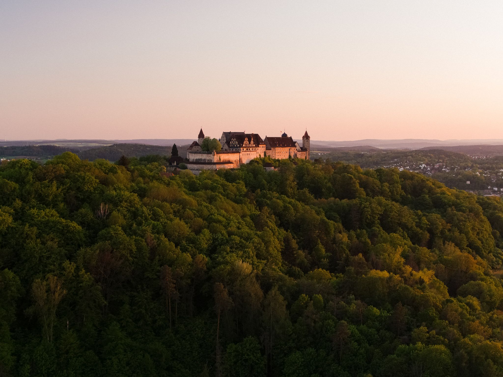
Hike the Coburg.Rennsteig Trail in Germany – Thuringia and Franconia
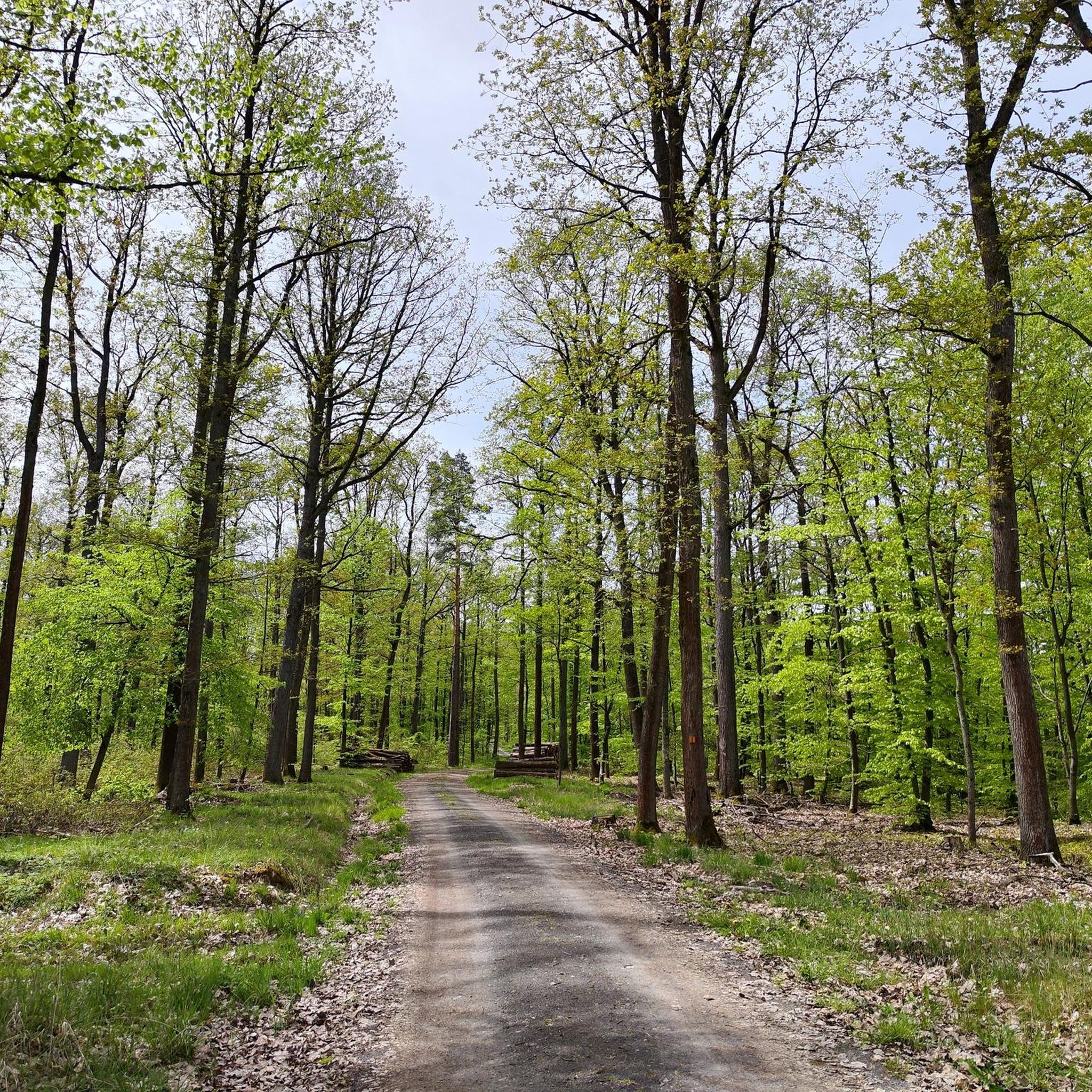
Hiking around Bad Colberg-Heldburg
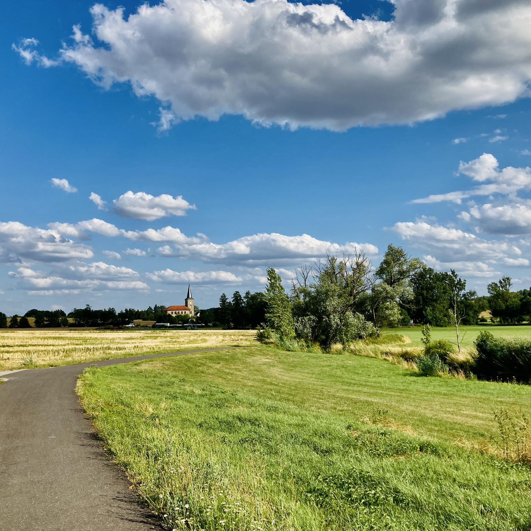
Cycling around Bad Colberg-Heldburg
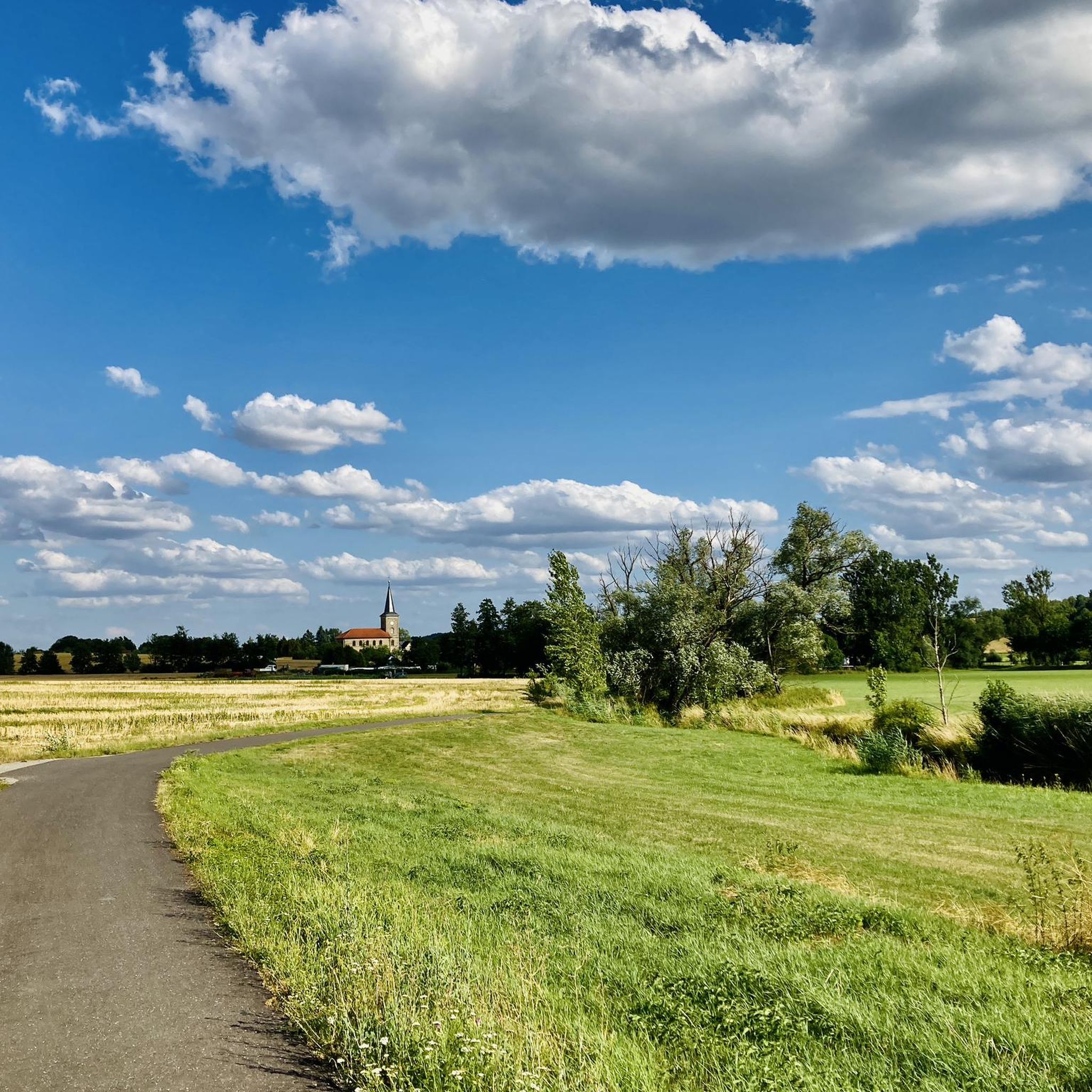
Running Trails around Bad Colberg-Heldburg
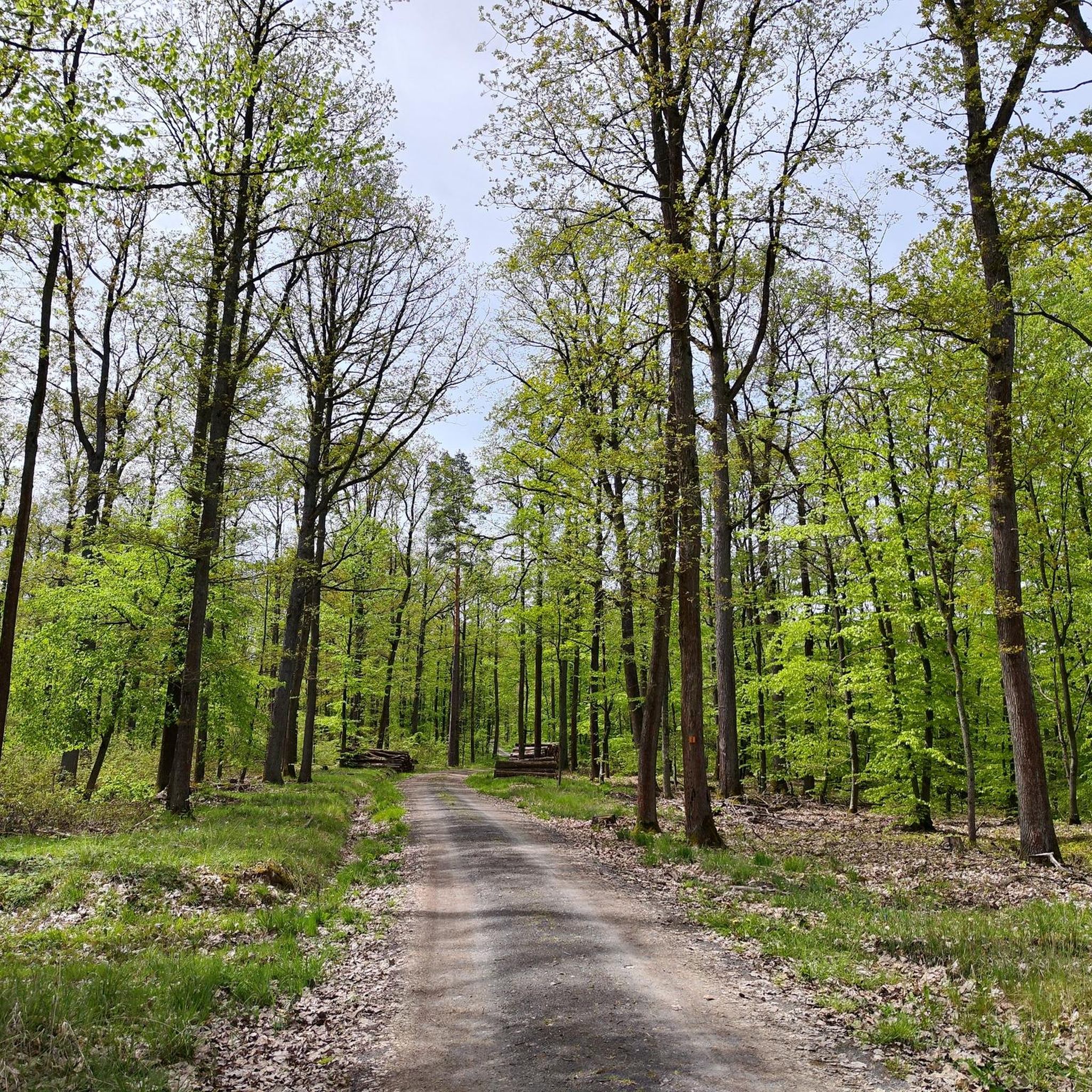
Road Cycling Routes around Bad Colberg-Heldburg
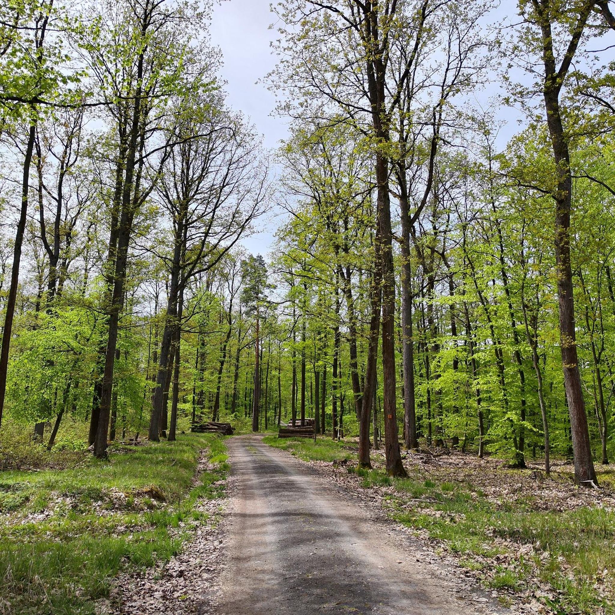
MTB Trails around Bad Colberg-Heldburg
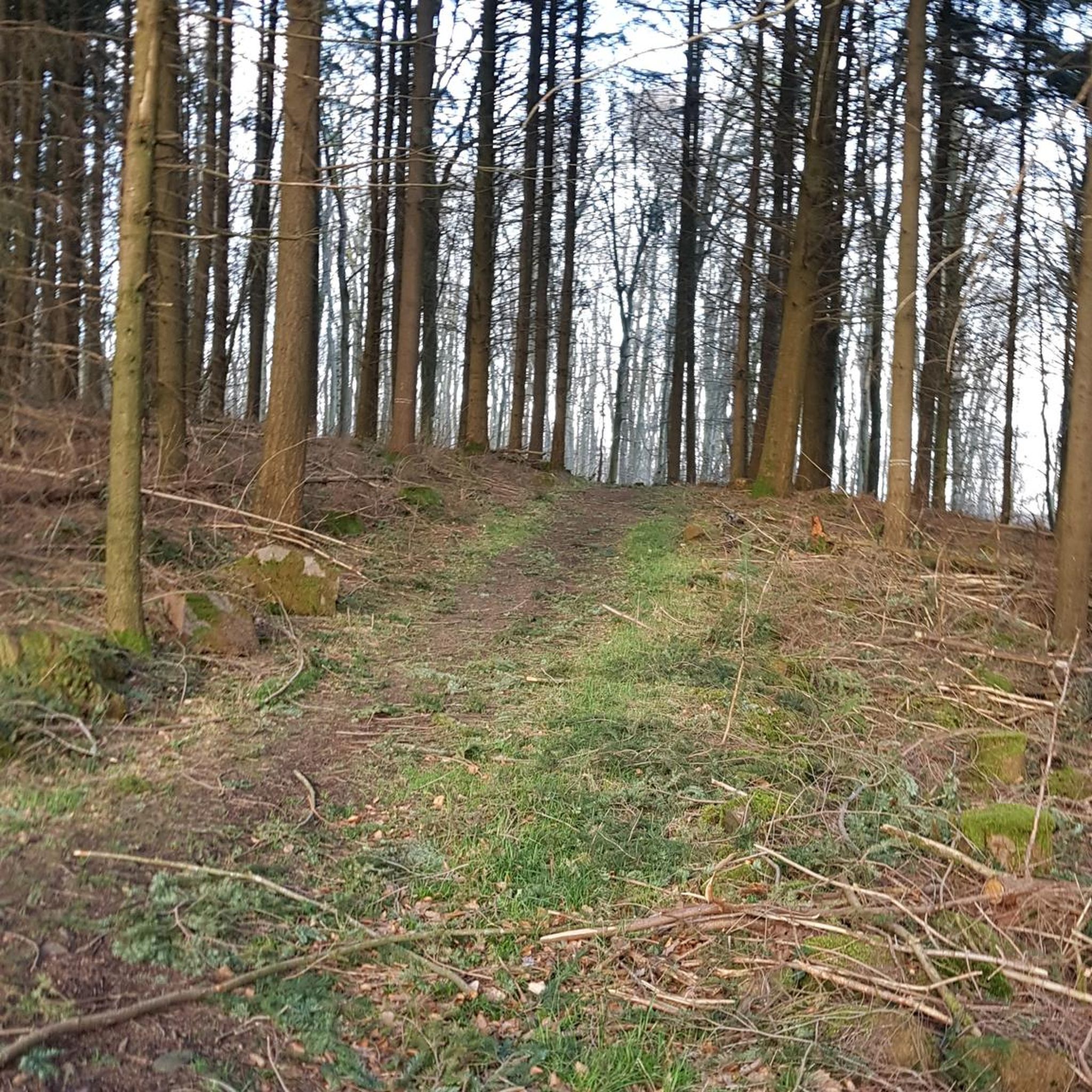
Gravel biking around Bad Colberg-Heldburg

Tips from the Community

On the path leading up to Heldburg Fortress in Thuringia, you'll eventually come across a linden tree split in two. A sign is attached to the hollow of this tree, and I'd like to tell you about it now: "Castle Linden of Heldburg Fortress – Large-leaved Summer Linden. Wanderer, pause! Read my story here: In 1791, I was planted by the then Ducal Court Secretary, Johann Daniel Bechmann (1768-1826), from Heldburg. That's why I was also called the Bechmann Linden. Around 1960, lightning destroyed my beautiful crown and split the trunk. Duke George II of Saxe-Meiningen (1826-1914) and his wife, Baroness von Heldburg (1839-1923), often lingered in the shade of its spreading branches when they resided here at the fortress during the summer months." Source: https://menosgada.wordpress.com/2013/02/07/die-schlosslinde-der-veste-heldburg/
10
0

The climb is a bit difficult, but the view from a great wooden bench makes up for it.
1
2
The 867 meter high Bleßberg summit with its observation tower, newly built in 1997, offers a unique view of Franconia, the Fichtel Mountains, the Rhön and the Thuringian Forest. On the horizon you can see the striking contours of the Staffelstein near Lichtenfels, the Vierzehnheiligen pilgrimage church, the Veste Coburg, almost within reach, and a silhouette of the Banz monastery. The Bleßberg plateau can be reached on well-developed hiking trails from all directions and during the day by car directly from the B 281 near the Werraquelle Siegmundsburg. We recommend the short, steep climb starting from the Itzquelle Stelzen and a hike along the historic border path below the Siegmundsburg Werraquelle. The hiking trails are groomed in winter using modern cross-country skiing technology, so a visit to this snow-sure area is worthwhile even in winter. The observation tower and the hiking lodge are open all year round. Source:https://www.stadt-eisfel
13
0
Everything about the restaurant can be found here: https://restaurant-veste-heldburg.de/helen-e-restaurant-und-caffee.html
9
1
The Helene castle restaurant has now opened and welcomes its guests. From the terrace you have a great view of the Gleichbergen, the Straufhain and the Henneberger Warte near Bad Rodach. The pictures were taken from the terrace around the new building. It's open Wednesday to Sunday from 11 a.m. to 5 p.m., good to know.
11
1
The ruins of the hilltop castle are located on the summit of the Straufhain, which at 449 m above sea level is the highest elevation in the Heldburg region. The old name for the castle was "Struphe" and later "Strauf". The later name "Straufhain" for the forest surrounding the castle (a hornbeam and oak forest) is now used equally for the forest, the mountain and the castle ruins. Until recently, the Straufhain ruins were largely hidden by dense deciduous forest and could only be seen from the valley in winter. After clearing the lines of sight, the ruins are again visible from afar throughout the year. Source: https://de.m.wikipedia.org/wiki/Burgruine_Straufhain
14
4
Straufhain Castle is the ruin of the medieval "Struphe Castle" on the Straufhain mountain near Streufdorf in the Hildburghausen district in Thuringia, Germany. Source: https://de.m.wikipedia.org/wiki/Burgruine_Straufhain
11
3

Very steep climb from the north, but can also be avoided. Great view to the west, with information board located on the former patrol path
2
0
Frequently Asked Questions
What are the most popular elevated points and viewpoints around Bad Colberg-Heldburg?
The region features several popular elevated points and viewpoints. Among the most visited are Heldburg Fortress, which offers panoramic views from its tower, and Straufhain Castle Ruins, known for its geological interest and expansive vistas. Another favorite is the View from Spanshügel, providing a wide outlook into the Grabfeld.
Are there family-friendly elevated points or walks in Bad Colberg-Heldburg?
Yes, several spots are suitable for families. Heldburg Fortress is family-friendly, offering historical exploration and views. The View from Spanshügel is also considered family-friendly, though it has a steep ascent from the north. Additionally, the Taufstein Peter Christian Kent, Watzendorf offers wonderful paths and new perspectives suitable for a family outing.
What kind of historical sites can I explore on the elevated points in the region?
Bad Colberg-Heldburg is rich in historical sites situated on elevated terrain. The prominent Heldburg Fortress houses the German Castle Museum and offers a deep dive into castle history. The Straufhain Castle Ruins, built on a volcanic elevation, also provides a glimpse into the region's past. The Taufstein Peter Christian Kent, Watzendorf is another historical monument to discover.
What outdoor activities can I do near these elevated points?
The hilly landscape around Bad Colberg-Heldburg is ideal for various outdoor activities. You can find numerous routes for gravel biking, mountain biking, and road cycling. For example, explore the area with routes from the Gravel biking around Bad Colberg-Heldburg guide, or try the MTB Trails around Bad Colberg-Heldburg. Road cyclists can find inspiration in the Road Cycling Routes around Bad Colberg-Heldburg guide.
Are there specific hiking trails or routes that include these elevated points?
Yes, the region's characteristic hilly terrain is perfect for hiking. While specific named trails for each highlight aren't detailed here, the area is crisscrossed with paths. For instance, local hiking routes mention elevated areas like the Tonberg, which features in trails like 'Hiking - Over the Tonberg to the Fürstenbrunnen' starting from Bad Colberg. Many routes will lead you to viewpoints like View from Spanshügel or the castles.
What natural features can I expect to see when visiting the elevated areas?
The region is characterized by a fertile, hilly Heldburger Keuper landscape, offering picturesque scenery. You'll encounter forests, rolling hills, and valleys. From elevated viewpoints like Straufhain Castle Ruins, you can see the Thuringian Slate Mountains, the Thuringian Forest, and the Hohe Rhön. The View of Bleßberg and the Lange Berge provides a clear view of the 867-meter-high Bleßberg summit and its observation tower.
What do visitors enjoy most about the elevated points around Bad Colberg-Heldburg?
Visitors frequently highlight the stunning panoramic views from locations like Heldburg Fortress, which offers vistas across the Thuringian forest, Rhön, Hassbergen, and Frankenwald. The historical significance of the castles and ruins, combined with the natural beauty of the hilly landscape, also makes for a rewarding experience. Many appreciate the well-documented spots, as evidenced by over 1000 photos and 375 upvotes from the komoot community.
Is it possible to visit these elevated points in winter?
Yes, visiting in winter is possible and can offer a unique experience. For example, Straufhain Castle Ruins is noted as being worth a visit at any time of the year, especially in winter. The observation tower and hiking lodge at Bleßberg (visible from the View of Bleßberg and the Lange Berge) are open all year round, and hiking trails in that area are groomed for cross-country skiing in winter, making it a snow-sure destination.
Are there any specific tips for hiking to the View from Spanshügel?
The View from Spanshügel offers a wonderful view into the Grabfeld. Be aware that there is a brutally steep ascent from the north, and the underground can be extremely slippery if damp. While challenging, the expansive view to the west is said to compensate for the effort. The steep climb from the north can also be avoided by choosing an alternative route.
What makes Straufhain Castle Ruins geologically interesting?
The Straufhain Castle Ruins are geologically very interesting because the castle stands on a volcanic elevation. This unique foundation contributes to its prominent position and the extensive views it offers across the surrounding landscape, from the Thuringian Slate Mountains to the Hohe Rhön.
Where can I find information about parking for hiking trails in the Bad Colberg-Heldburg area?
While specific parking locations for every trail are not detailed here, many hiking routes in the region, especially those leading to popular elevated points like Heldburg Fortress, typically have designated parking areas nearby. It's advisable to check local signage or specific route descriptions on komoot for detailed parking information before starting your hike.
Are there any elevated points that offer amenities like a hut or restaurant?
Yes, some elevated points provide amenities. Heldburg Fortress includes a restaurant within its complex. While not directly on a highlight, the Bleßberg summit, visible from the View of Bleßberg and the Lange Berge, has a hiking lodge that is open all year round, offering a place to rest and refresh.
Most popular routes around Bad Colberg-Heldburg
Most popular attractions around Bad Colberg-Heldburg

Get inspired with the komoot mobile app


Explore more
See even more amazing summits around Bad Colberg-Heldburg with these guides:
