The 4 Most Amazing Peaks around Laumersheim
Best mountain peaks around Laumersheim are found in a hilly transitional zone, offering notable elevations and proximity to larger mountain ranges. The municipality is characterized by its position between low mountains and the Upper Rhine Plain. To the west, the Haardt mountain range, which forms the eastern edge of the Palatinate Forest, provides more substantial mountainous areas. These nearby ranges feature higher peaks and diverse terrain for those seeking elevated experiences in the broader Rhineland-Palatinate region.
Best mountain peaks around…
Last updated: August 20, 2026
Krummholzer Stuhl (Roman quarry)
Highlight • Historical Site
Source (quoted verbatim): tourenplaner-rheinland-pfalz.de/de/punkt/felsen/krummholzer-stuhl/13353106/#caml=a14,1cgehp,86n3qd,0,0
Translated by Google •
Tip by

Schlagbaum Trail Junction
Highlight • Trail
The quickest and easiest way is via the Weilach (Leistadt district).
From there, many hikes and bike tours are possible in all directions.
Towards …
Translated by Google •
Tip by

Sign up now to discover places like this
Get recommendations on the best single tracks, peaks, & plenty of other exciting outdoor places.
Sign up for free
Very beautiful forest path
Highlight • Summit
Translated by Google •
Tip by

View from Monte Scherbelino
Highlight • Viewpoint
Translated by Google •
Tip by

Start today with a free account
Your next adventure awaits.
Login or Signup
Tips from the Community

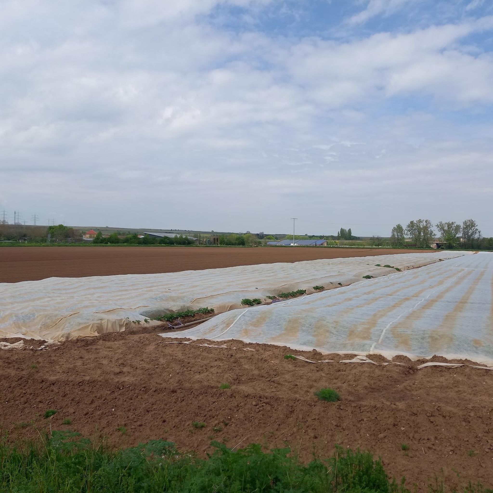
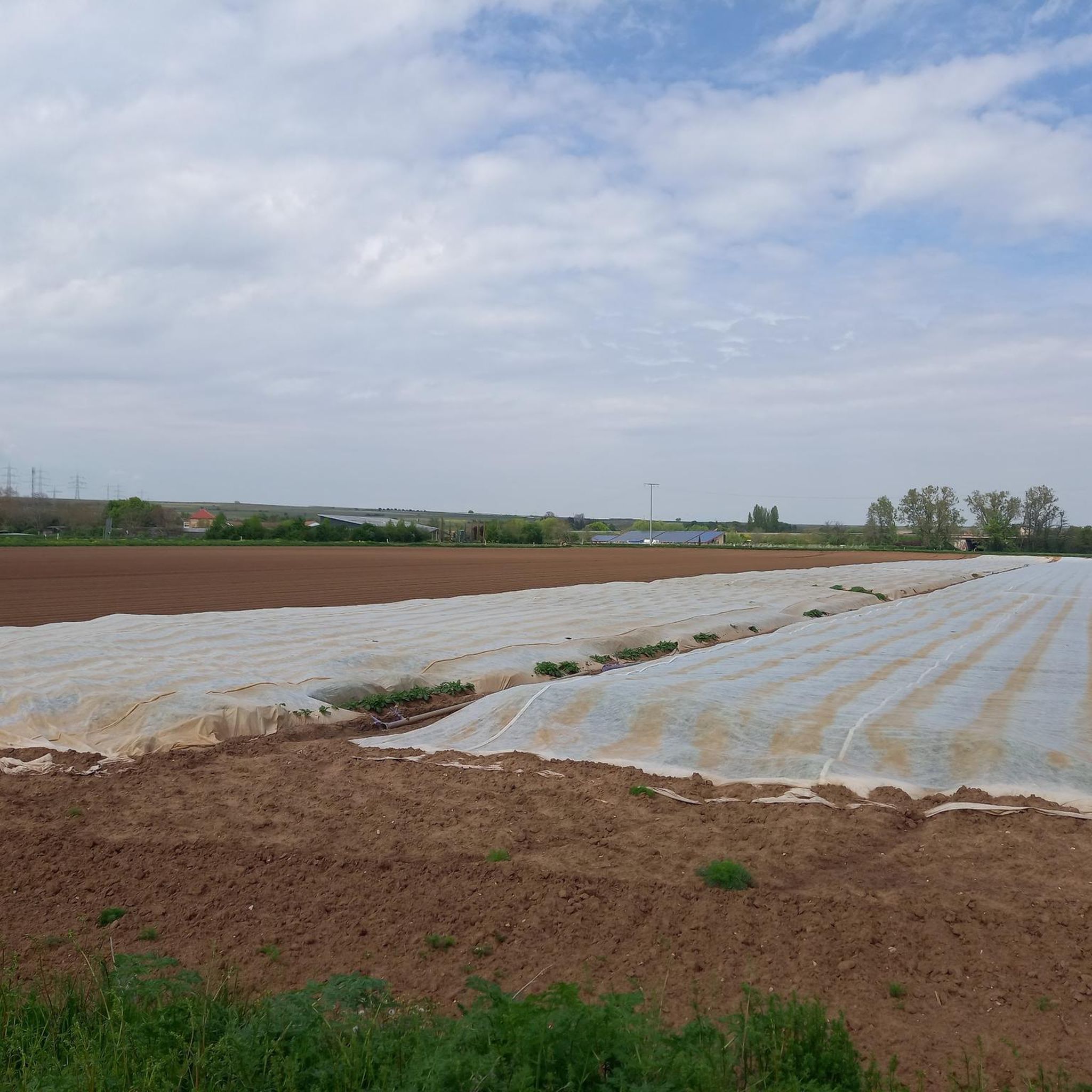
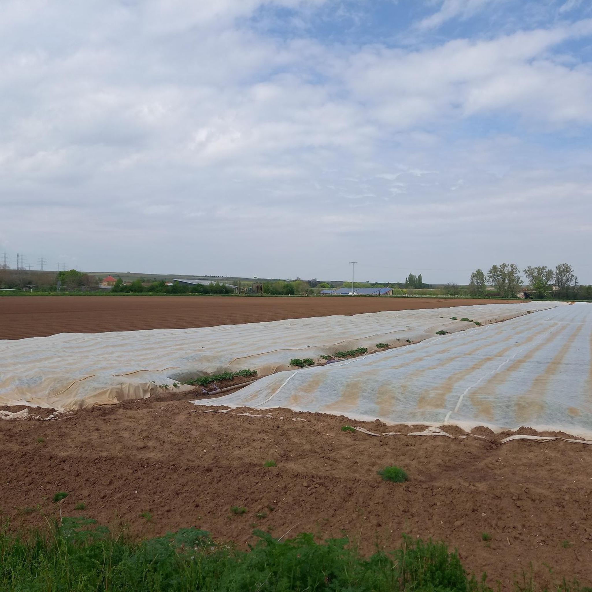
Monte Scherbelino is a small hill which, at 117m, is the highest elevation in Frankenthal.
0
0

From the barrier, easy-to-drive forest roads branch off in all directions.
0
0


Beautiful paths here on the cooling mountain. This is 398m high.
2
0

More than 1800 years ago the rock was used by the Romans as a quarry. Stone coffins are said to have been made from its stone, as well as parts of the city wall of the former imperial city of Worms am Rhein. In any case, the Krumholzer Stuhl also served as an important boundary mark for the Ganerben, as evidenced by numerous boundary marks in the stone. Source: https://www.pfalz.de/de/sehenswuerdigkeit/pfaelzerwald-krumholzerstuhl
4
0

If you know your way around or have a local guide, you have many interesting options from the impact area. E.g. Trail down to Hardenburg, or trail up to the Bismarck Tower.
3
0

Big crossroads. From here you can take well-signposted hiking trails to Lindesmannsruhe, Bismarck Tower, Bad Dürkheim,... Thanks to the tables and benches, there is also a good opportunity to take a break.
2
0

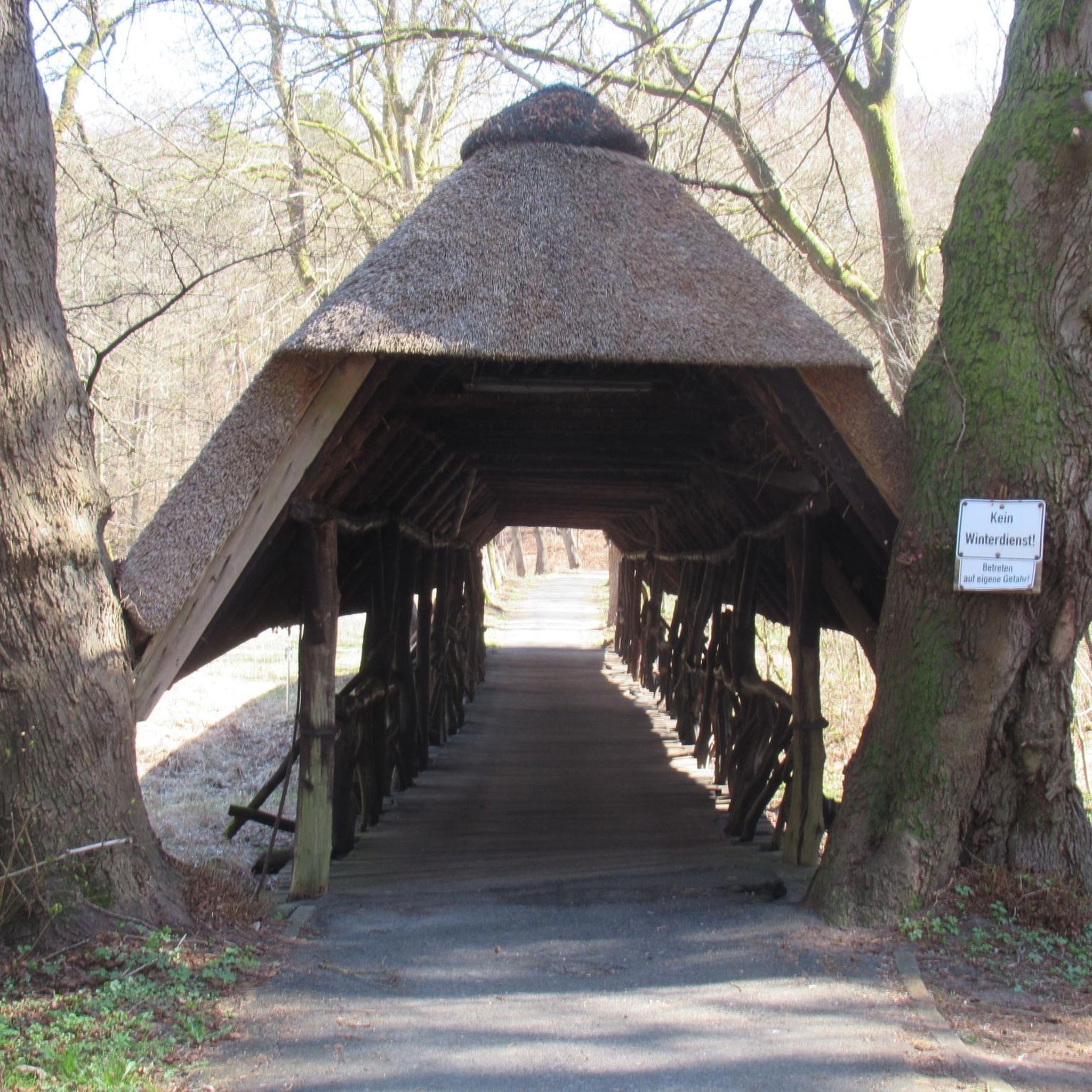
Krummholz chair Roman quarry in the 2nd and 3rd centuries. It was exploited for parts of the city wall in Worms and for stone coffins. Hiking tip: Leistadt historical circular hiking trail. Hiking maps available at the Tourist Information Bad Dürkheim.
4
0
Frequently Asked Questions
What are the most notable elevated points directly around Laumersheim?
While Laumersheim itself is in a hilly transitional zone rather than a mountainous region, the most significant local high point is the Palmberg, standing at 126 meters above sea level. It offers expansive views and is home to an 18th-century pilgrimage chapel.
Are there any historical or cultural landmarks on these elevated points?
Yes, the Palmberg features an eight-sided pilgrimage chapel from 1722, containing an 18th-century Crucifixion scene and reproductions of medieval figurines. Further afield, the Krummholzer Stuhl (Roman quarry) in the Palatinate Forest is a historical site where stone was quarried for the city wall of Worms and stone coffins.
Where can I find more challenging mountain experiences near Laumersheim?
For more traditional mountain experiences with higher peaks and diverse terrain, head west to the Haardt mountain range, which forms the eastern edge of the Palatinate Forest. This region offers more substantial mountainous areas compared to the immediate vicinity of Laumersheim.
Are there family-friendly elevated areas or viewpoints suitable for all ages?
Absolutely. The Schlagbaum Trail Junction is a family-friendly spot in the Palatinate Forest with tables and benches for breaks. Additionally, the View from Monte Scherbelino, the highest point in Frankenthal at 117m, is also considered family-friendly and offers views of Ludwigshafen and BASF.
What kind of views can I expect from the elevated points in the region?
From the Palmberg, you can enjoy broad views of the surrounding landscape despite its modest height. The View from Monte Scherbelino provides a clear perspective of Frankenthal, Ludwigshafen, and BASF. Other viewpoints like the Schlagbaum Trail Junction offer scenic vistas within the Palatinate Forest.
What outdoor activities can I do near these elevated points?
The region around Laumersheim and the nearby Palatinate Forest offers a variety of outdoor activities. You can explore numerous running trails, cycling routes, and traffic-free bike rides. For specific routes and more details, check out the guides for Running Trails around Laumersheim, Cycling around Laumersheim, and Traffic-free bike rides around Laumersheim.
Are there specific hiking trails associated with these elevated points?
Yes, the Schlagbaum Trail Junction in the Palatinate Forest serves as a major crossroads for well-signposted hiking trails leading to various destinations like Lindesmannsruhe, Bismarck Tower, and Bad Dürkheim. The area around the Very beautiful forest path also features easy-to-walk routes to a small peak with a cross.
What is the best time of year to visit the elevated areas around Laumersheim?
The region is generally pleasant for outdoor activities from spring through autumn. Spring brings blooming nature, while autumn offers vibrant foliage, especially in the Palatinate Forest. Summer is also suitable, but it's advisable to start early to avoid the midday heat. Winter hiking is possible, but conditions can vary, so check local weather forecasts.
Are there any areas suitable for beginner hikers or those looking for an easy walk?
Yes, the Very beautiful forest path is described as having 'super nice roads' that are 'easy to walk' to a small peak. The Palmberg also offers a gentle ascent suitable for a local excursion. For more options, look for 'easy' difficulty routes in the nearby running and cycling guides.
What facilities are available at or near these elevated points?
The Schlagbaum Trail Junction provides tables and benches, making it a good spot for a break. While specific facilities like cafes are not directly on every peak, Laumersheim and nearby towns offer various options for refreshments and accommodation.
What makes the Palatinate Forest a significant area for mountain enthusiasts near Laumersheim?
The Palatinate Forest, part of the Haardt mountain range, is significant because it features higher peaks and more diverse terrain compared to Laumersheim's immediate surroundings. It offers a more traditional mountain experience, with elevations that meet the state's definition of a mountain (612 meters or higher), providing extensive hiking and biking opportunities.
Most popular routes around Laumersheim
Most popular attractions around Laumersheim

Get inspired with the komoot mobile app


Explore more
See even more amazing summits around Laumersheim with these guides:
