The 2 Most Amazing Peaks around Glan-Münchweiler
Best mountain peaks around Glan-Münchweiler are situated in the scenic Glan valley within the Western Palatinate uplands. This region is characterized by elevated areas, including hills and forested terrain, which define its landscape. The area is suitable for outdoor activities like hiking and cycling, offering extensive forests and meadows. The highest elevation within Glan-Münchweiler is 388 meters above sea level, found in the Eichenwald.
Best mountain peaks around Glan-Münchweiler
- The most popular mountain peaks is Reuschbacher Heights Viewpoint, a…
Last updated: August 20, 2026
Potzberg Tower and Historic Hotel
Highlight • Monument
Translated by Google •
Tip by

Reuschbacher Heights Viewpoint
Highlight • Viewpoint
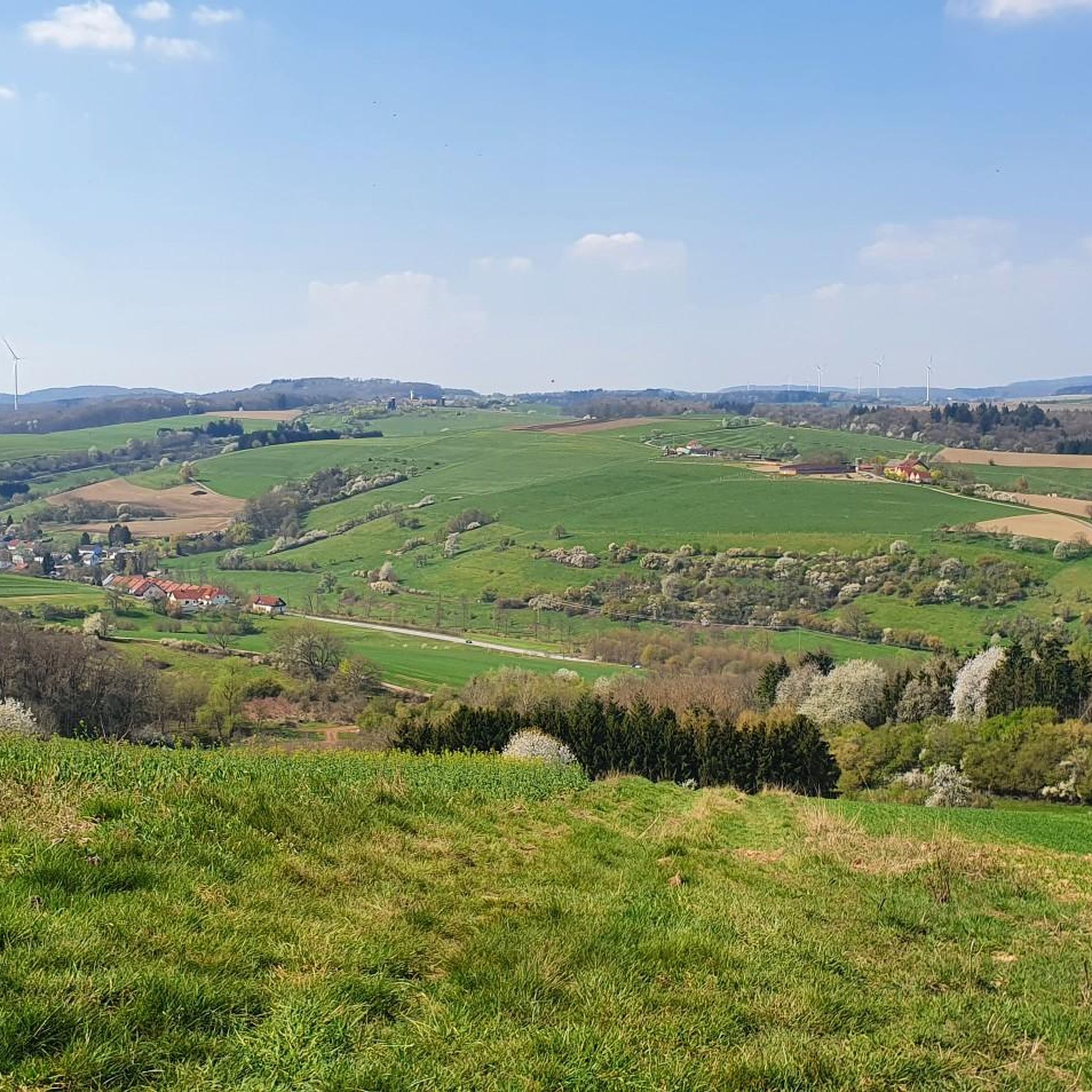
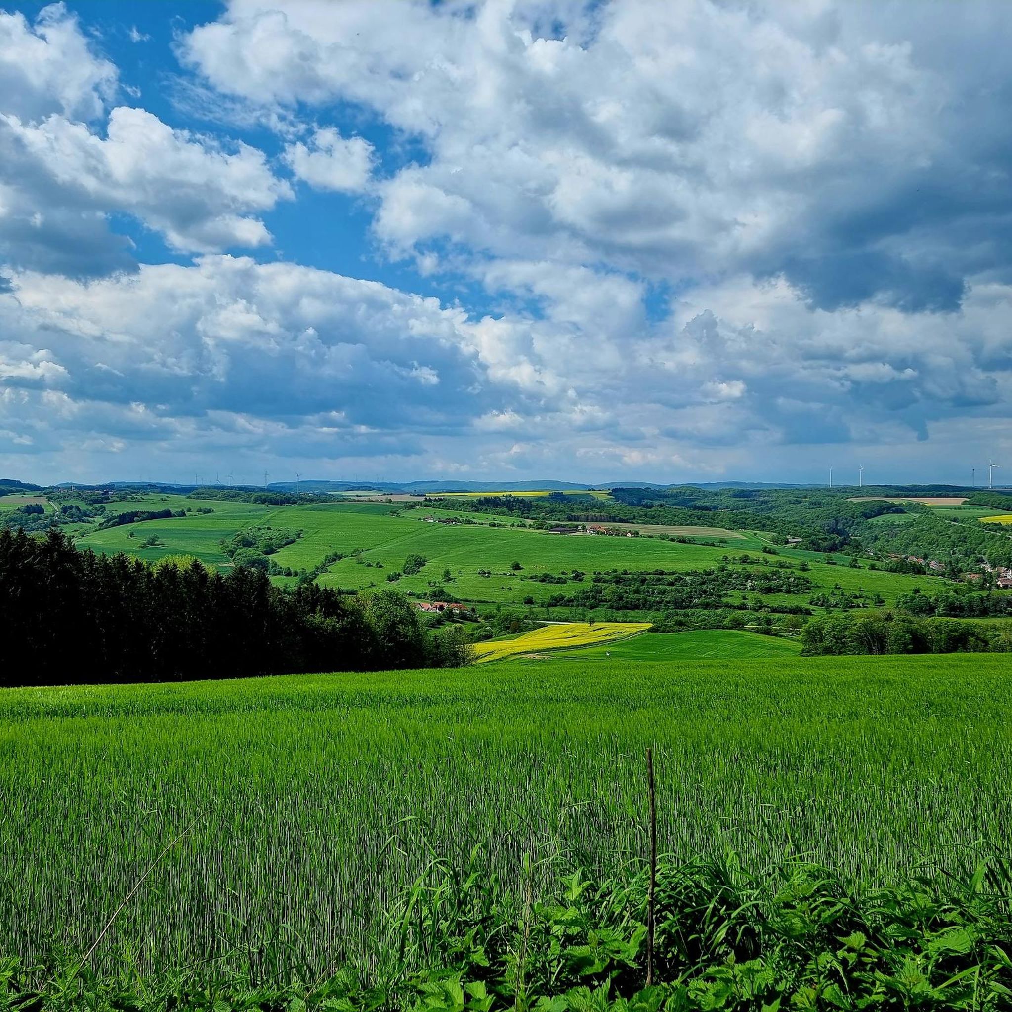
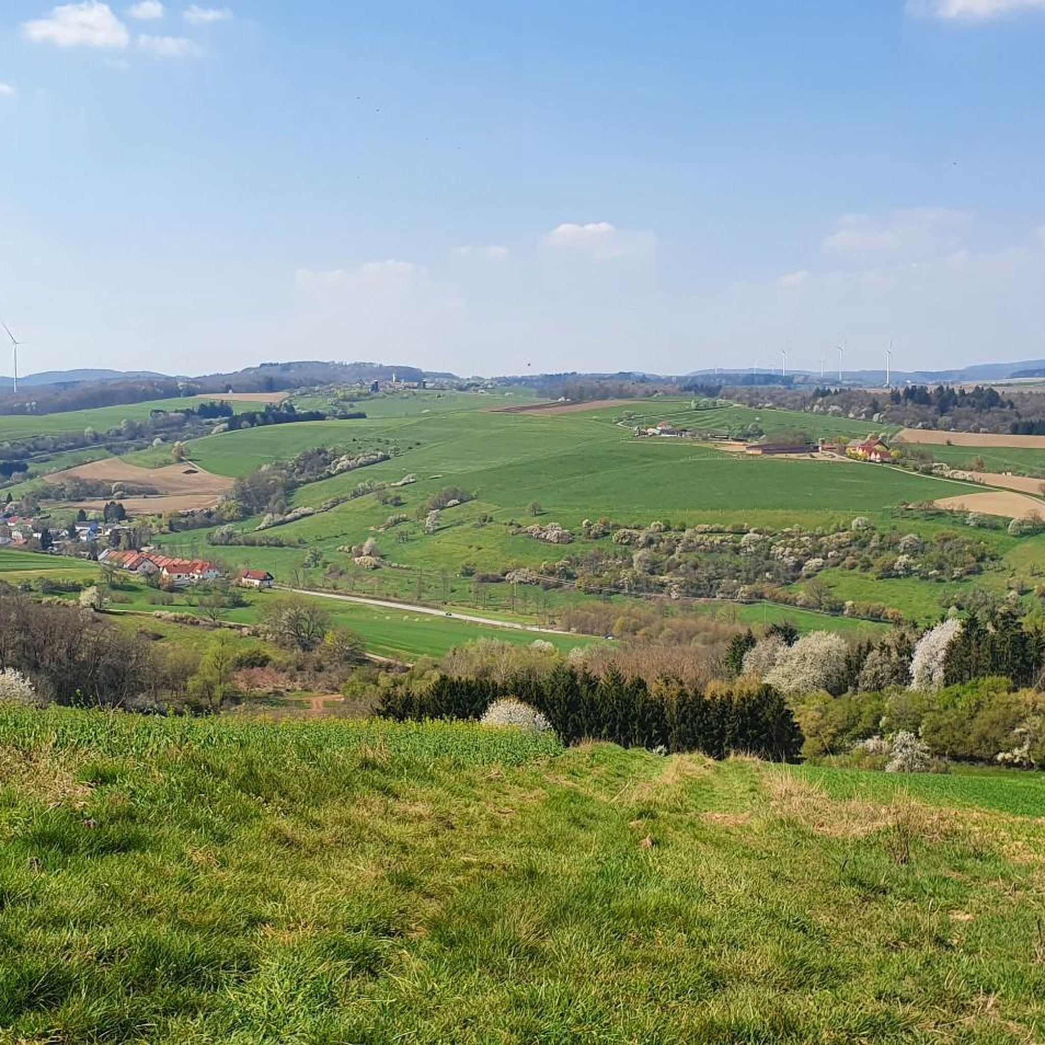
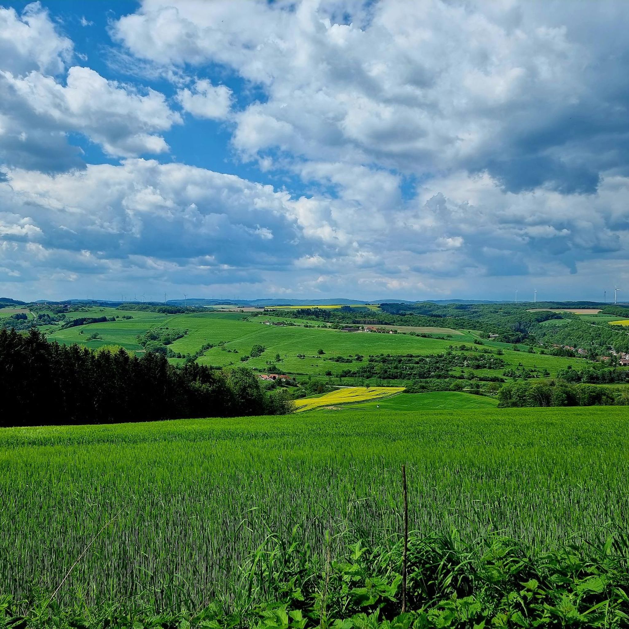
Grandiose panoramic view over the Westpfälzer Moorniederung to Sickinger height and over Potzberg and Glantal to the Prussian mountains.
Translated by Google •
Tip by

Sign up now to discover places like this
Get recommendations on the best single tracks, peaks, & plenty of other exciting outdoor places.
Sign up for free
View from Bermeshöhe
Highlight • Viewpoint
Translated by Google •
Tip by

Zigzag Trail (Potzberg)
Highlight (Segment) • Trail
Translated by Google •
Tip by

Start today with a free account
Your next adventure awaits.
Login or Signup
Popular around Glan-Münchweiler
On the trail of the Red Beard – Barbarossa Cycle Route
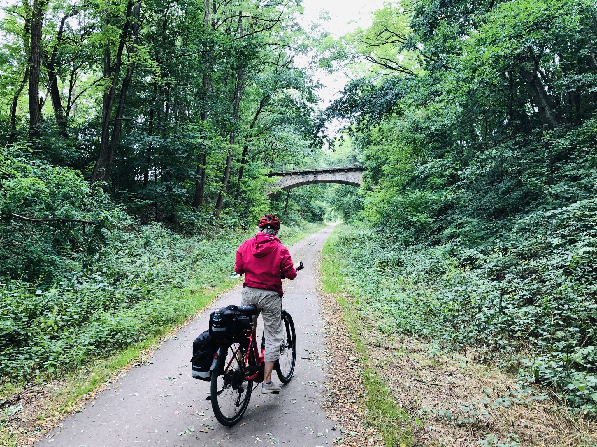
Riding railway tracks — cycling in Germany’s Pfälzer Bergland
Hiking around Glan-Münchweiler
Road Cycling Routes around Glan-Münchweiler
Cycling around Glan-Münchweiler
MTB Trails around Glan-Münchweiler
Running Trails around Glan-Münchweiler

Gravel biking around Glan-Münchweiler


Tips from the Community

The Zickzack-Trail on the Potzberg (also known as President's or Snake Path) in the Westpfalz is a popular, medium-difficulty mountain bike trail with several hairpin turns. It leads in snake-like windings up the 562-meter-high "King of the Westrich", offering a pleasant gradient.
1
0
The Potzbergturm is a 35-meter-high sandstone tower on the 562-meter-high Potzberg near Föckelberg (Kusel district). It was built in 1951 (inauguration 13.07.1952), offers a wide view over the Palatinate Forest to the Vosges mountains and is a popular excursion destination. Next to the tower, there is a wildlife park, a falconry, and a hotel-restaurant (closed). It is located on the summit of Potzberg, near Föckelberg (Westpfalz) and offers a panoramic view over Westpfalz, the Palatinate Forest, and up to the Hunsrück/Vosges.
1
0

The zigzag path on the Potzberg, also known as the Presidential or Snake Path, leads up the mountain in several switchbacks and offers a pleasant incline thanks to its serpentine route. The path owes its name to its characteristic course and the fact that high-ranking visitors, including presidents, used to take this route to the summit.
3
0

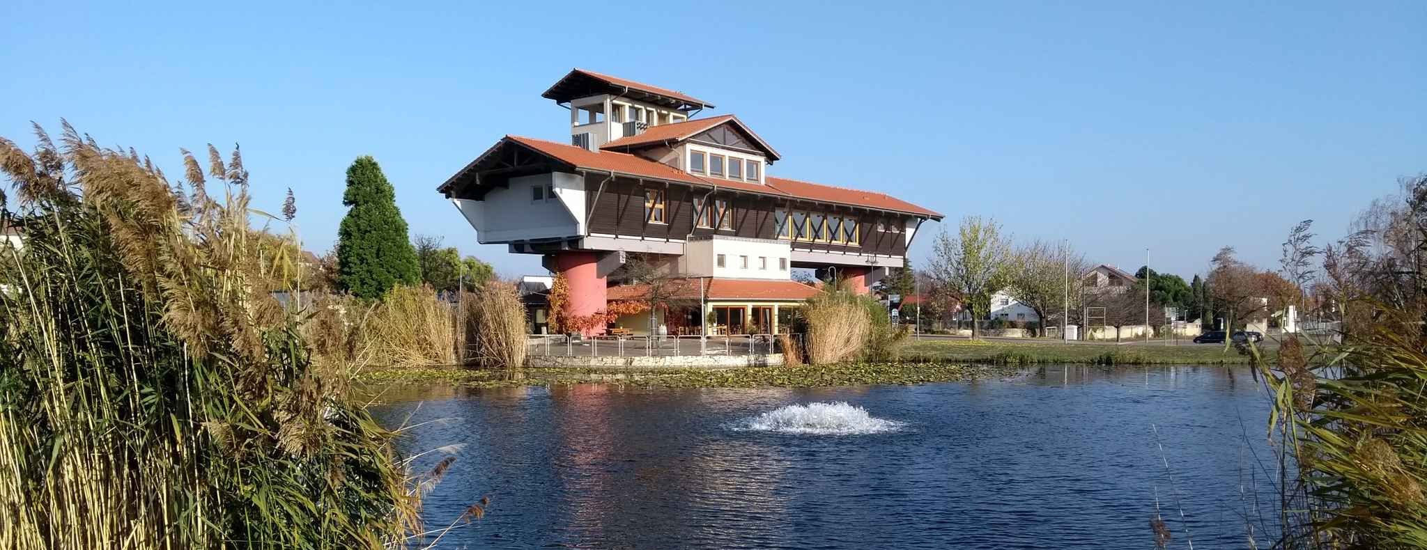
This castle-like building, once built as a hotel, now stands abandoned at the summit of the Potzberg – a silent witness to times gone by. 📍 Tip: A short detour is worthwhile – the architecture offers exciting photo opportunities in contrast to the surrounding nature.
0
1

Centrally located, all the world's highlights are clearly signposted and directions are shown. 🤔😂🥳
0
0

Unfortunately no restaurants here
0
0

The highest point in Kottweiler with a panoramic view of the Potzberg and Landstuhl.
0
1

The Potzberg already in sight as the next destination
0
1
Frequently Asked Questions
What kind of elevated areas can I explore around Glan-Münchweiler?
The Glan-Münchweiler region features several elevated areas, often described as hills or elevated forests, rather than prominent mountain peaks. These include the Galgenberg, Klopfberg, Eckertsberg, Wingertsberg, and the Eichenwald. The area is characterized by its natural beauty, offering extensive forests and meadows ideal for outdoor activities.
Where can I find the best viewpoints among the peaks around Glan-Münchweiler?
For expansive views, consider visiting the Reuschbacher Heights Viewpoint, which offers panoramic vistas over the Westpfälzer Moorniederung towards Sickinger height, Potzberg, and Glantal. Other notable spots include the View from Bermeshöhe and the View of Potzberg, both providing excellent perspectives of the surrounding landscape.
Are there historical sites or unique landmarks on these elevated areas?
Yes, the Potzberg Tower and Historic Hotel is a significant landmark. The tower is open to the public and offers great views. Additionally, the region has historical context, with a cycle route passing a site referred to as 'Gallows,' possibly located on or near the Galgenberg.
What is the highest elevation in the Glan-Münchweiler area?
The highest elevation within the municipal limits of Glan-Münchweiler is found in the Eichenwald (Oak Forest), reaching 388 meters above sea level.
Are there family-friendly options for exploring the peaks and viewpoints?
Many viewpoints in the area are considered family-friendly, such as the Reuschbacher Heights Viewpoint, the View of Potzberg, and the View from Bermeshöhe. These spots often feature benches and are easily accessible, making them suitable for families.
What outdoor activities can I do near these elevated areas?
The region around Glan-Münchweiler is excellent for various outdoor pursuits. You can find numerous hiking and cycling paths, including the Glan-Blies cycle path. For specific routes, explore options like hiking around Glan-Münchweiler, gravel biking, or running trails.
Are there specific hiking trails on or around these elevated areas?
Yes, there are many trails. For example, the Zigzag Trail (Potzberg) is a popular path leading up the Potzberg, known for its pleasant incline and serpentine route. You can find more hiking options, including routes like the 'Reuschbacher Heights Viewpoint – Glan-Münchweiler Train Station loop', in the hiking guide for Glan-Münchweiler.
What is the best time of year to visit the elevated areas around Glan-Münchweiler?
The Glan-Münchweiler region is enjoyable throughout the warmer months, from spring to autumn, when the forests and meadows are lush. These seasons offer ideal conditions for hiking, cycling, and enjoying the panoramic views.
How can I access the peaks and viewpoints around Glan-Münchweiler?
Access to the various elevated areas and viewpoints is generally good, with many trails and roads leading to them. Parking is often available near trailheads and popular viewpoints. For public transport options, it's advisable to check local bus and train schedules connecting to Glan-Münchweiler, which can serve as a starting point for your explorations.
What do visitors enjoy most about the elevated areas near Glan-Münchweiler?
Visitors frequently praise the magnificent panoramic views from spots like the Reuschbacher Heights Viewpoint and the Potzberg Tower. The overall natural beauty, the extensive network of trails for hiking and cycling, and the serene setting are also highly appreciated.
Most popular routes around Glan-Münchweiler
Most popular attractions around Glan-Münchweiler

Get inspired with the komoot mobile app


Explore more
See even more amazing summits around Glan-Münchweiler with these guides:
