The 4 Most Amazing Peaks around Rimsberg
Best mountain peaks around Rimsberg are found in a region characterized by hills and low mountains, situated in the Birkenfeld district of Rhineland-Palatinate, Germany. The municipality itself lies at an elevation of 460 meters above NHN. This area is part of the Hunsrück-Hochwald National Park, offering natural beauty and recreational opportunities. The highest point in Rhineland-Palatinate, Erbeskopf at 816 meters, is located approximately 12 kilometers northwest, providing expansive views.
Best mountain peaks around Rimsberg
- The most popular mountain peaks is…
Last updated: June 27, 2026
Wehlenstein
Highlight • Natural Monument
Translated by Google •
Tip by

Ringskopf Viewpoint and Rock Formations
Highlight • Viewpoint
Translated by Google •
Tip by

Sign up now to discover places like this
Get recommendations on the best single tracks, peaks, & plenty of other exciting outdoor places.
Sign up for free
Graues Kreuz (664 m)
Highlight • Summit
Translated by Google •
Tip by

View of the Potzberg
Highlight • Viewpoint
Translated by Google •
Tip by
Ringelkopf (712 m)
Highlight • Summit
Translated by Google •
Tip by

Start today with a free account
Your next adventure awaits.
Login or Signup
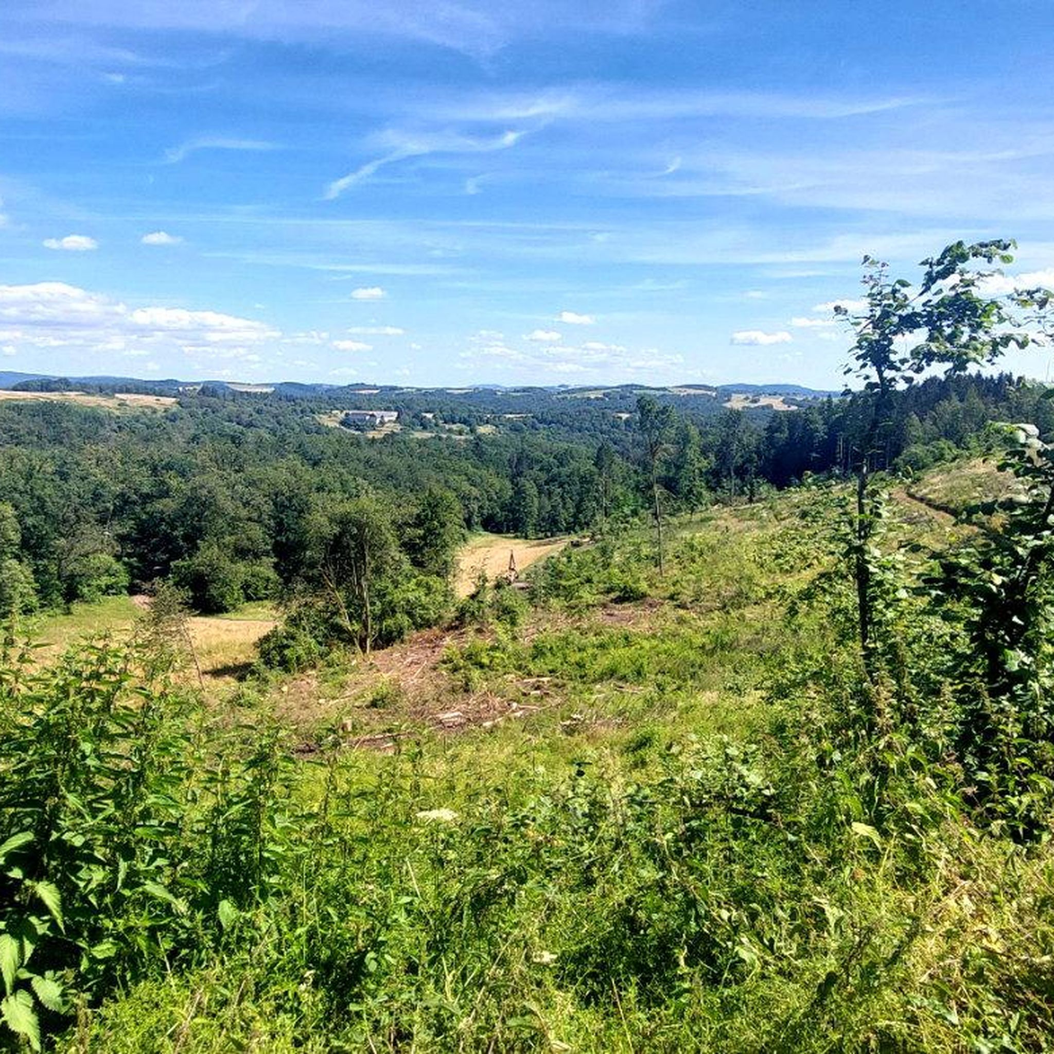
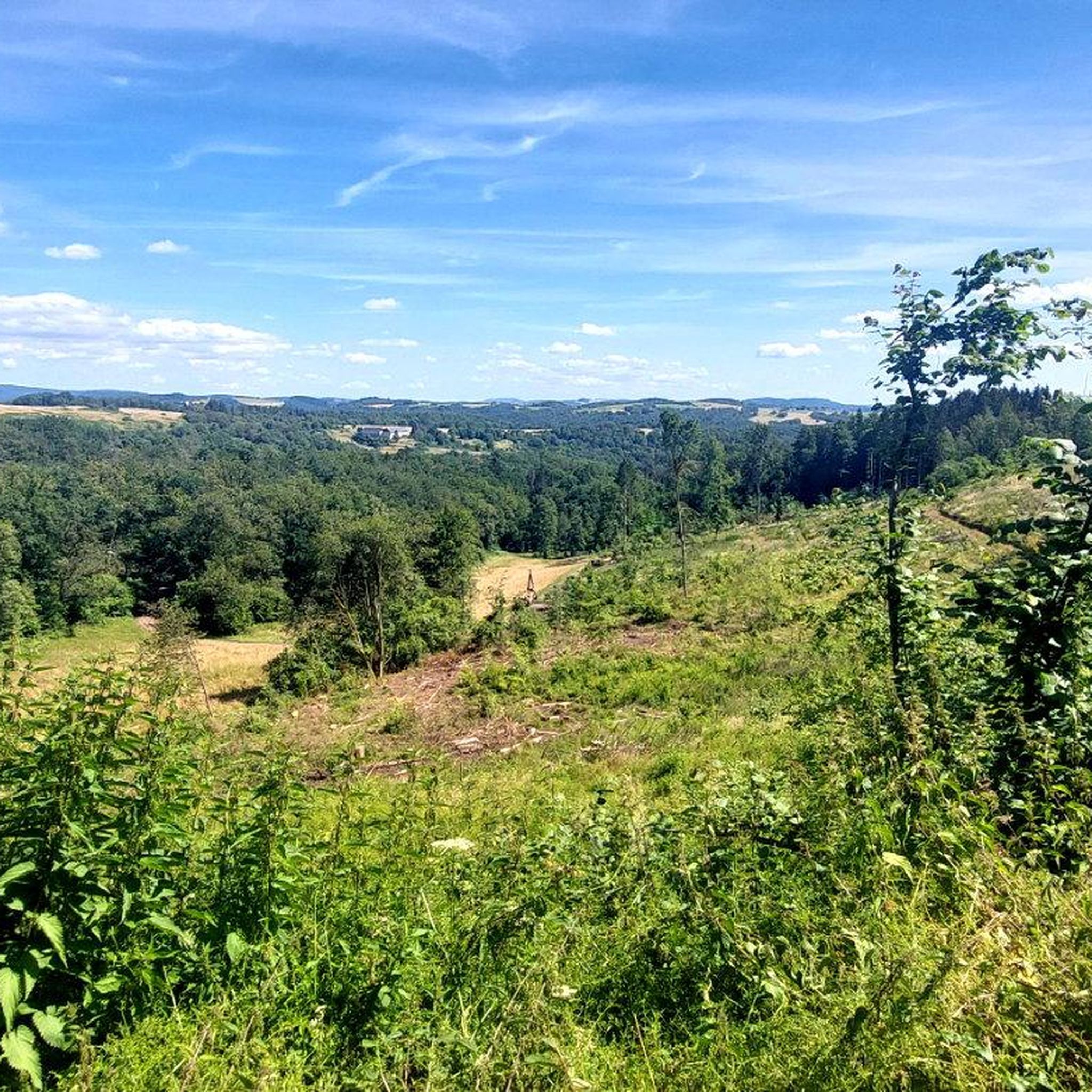
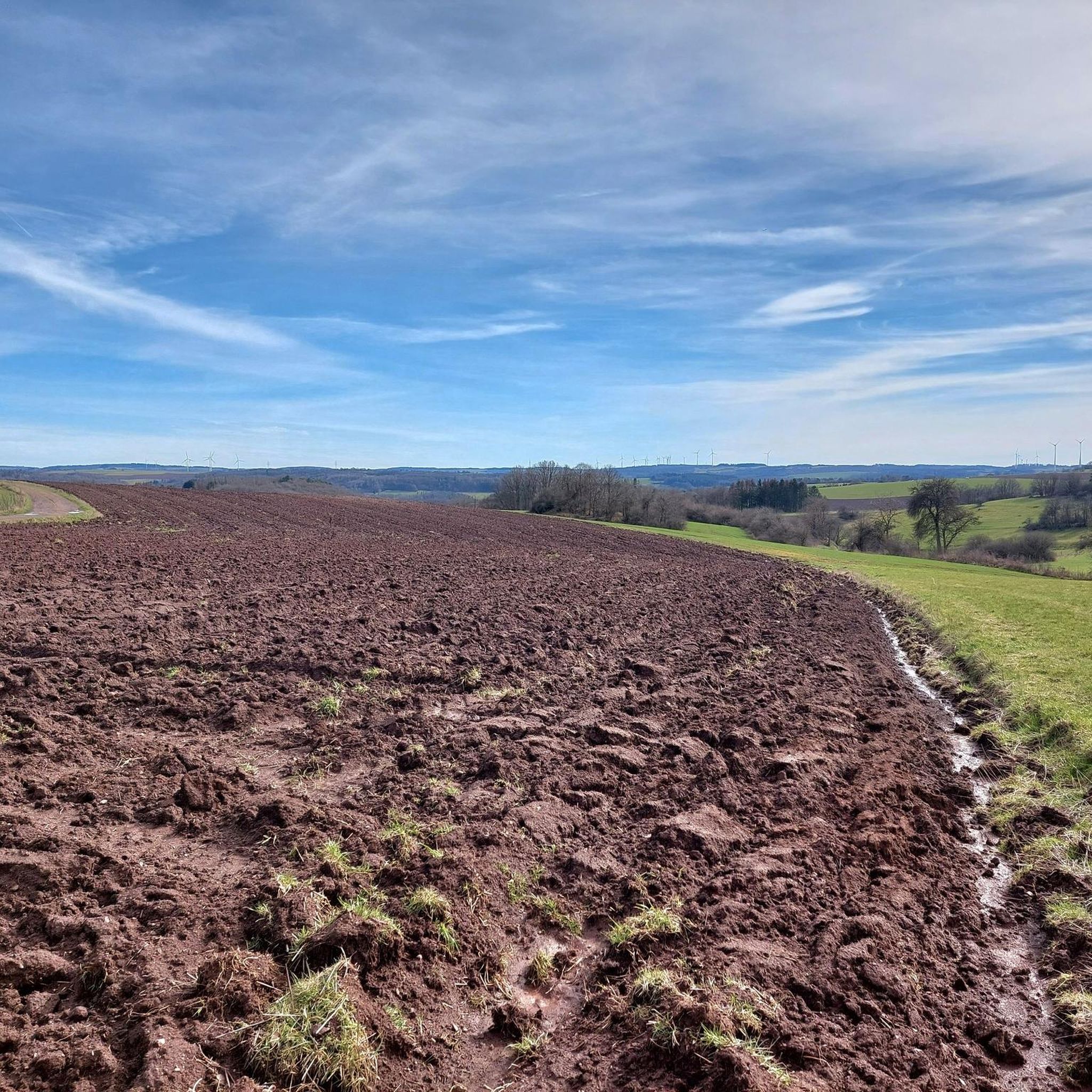
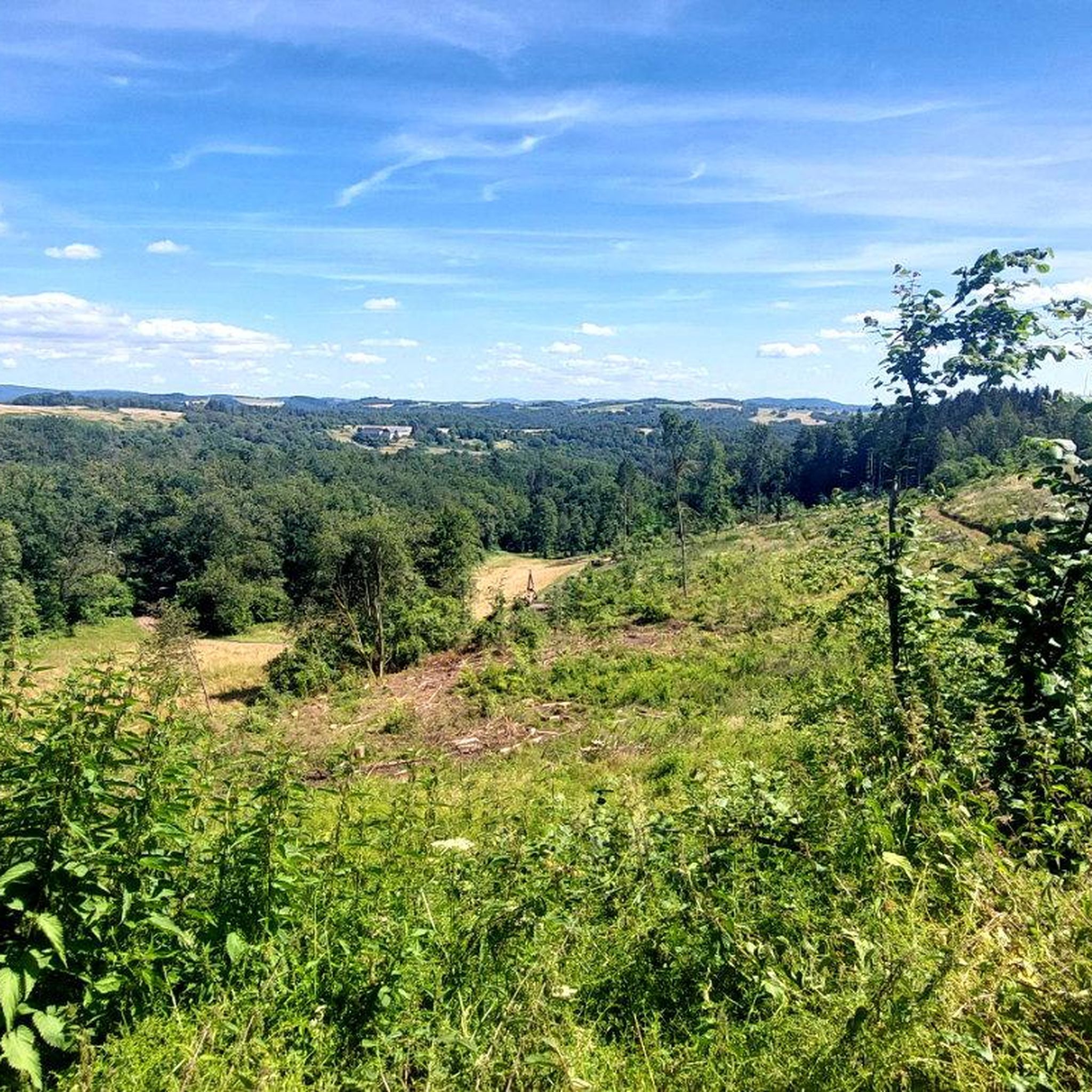
Tips from the Community

Near the Ringelkopfgipfel summit, there are some old boundary stones on an overgrown path. They marked the border between the Grand Duchy of Oldenburg and Prussia.
0
0

A great place for a rest! Even though there are no benches, the rocks are sufficient.
1
0

These are great rocks that are perfect for taking a break. You also have a beautiful view from here.
1
0

Unfortunately, you can only find this historic place with luck and a map. The path that comes from below is impassable due to fallen trees. From the picnic area above, you can still walk quite well. There is no sign or information board. What a pity.
0
0

Near the parking lot and the Hunsrückhöhenweg.
1
0

The Potzberg, known as the "King of Westrich", is a wooded hill, 562 m above sea level, in the North Palatinate Uplands in Rhineland-Palatinate. (Source: Wikipedia)
0
0

𝗔𝘂𝘀𝘀𝗶𝗰𝗵𝘁 𝗮𝘂𝗳 𝗱𝗲𝗻 𝗣𝗼𝘁𝘇𝗯𝗲𝗿𝗴 The Potzberg is a 562m high wooded mountain in the North Palatinate Uplands and is nicknamed "King of Westrich". Today the Potzberg wildlife park, the Potzberg tower, a military tower and a hotel are located on the summit. The Potzbergturm is a 53.5m high viewing and transmission tower. Originally, a 18.5m high radio antenna on the platform completed the structure. The radio programs of what was then Südwestfunk were broadcast from here until the 1990s. The approx. 30ha large area of the wildlife park offers, favored by its altitude, an indescribable panorama of the North Palatinate mountains, with a visibility of more than 30km. Source: text information board
1
0
Frequently Asked Questions
What are some of the most notable viewpoints and peaks around Rimsberg?
The region around Rimsberg offers several significant viewpoints and elevated areas. Highlights include the Ringskopf Viewpoint and Rock Formations, known for its great rock formations and shady forest, and View of the Potzberg, which provides an indescribable panorama of the North Palatinate mountains. Additionally, Wehlenstein offers a beautiful view of the Hunsrück-Hochwald National Park.
What is the highest point in the Rimsberg region?
While Rimsberg itself is characterized by rolling hills, the prominent Erbeskopf, standing at 816 meters (2,677 ft), is the highest point in Rhineland-Palatinate and is accessible from areas neighboring Rimsberg. It offers expansive views and diverse recreational activities.
Are there historical sites or landmarks to explore near the peaks?
Yes, the area is rich in history. The Nahekopf Plateau and Kaiserallee is a significant historical site featuring a Celtic fortification and a reconstruction of a Roman gate system, along with a modern replica of a Kaiserallee. Another historical point is Graues Kreuz (664 m), an oak wood cross with a historical background dating back to 1632.
What kind of outdoor activities can I do near Rimsberg's peaks?
The Rimsberg area, part of the Hunsrück-Hochwald National Park, is ideal for nature-focused activities. You can enjoy extensive hiking and cycling. For specific routes, explore the Hiking around Rimsberg guide, or for two-wheeled adventures, check out the Cycling around Rimsberg and Road Cycling Routes around Rimsberg guides.
Are there family-friendly mountain walks around Rimsberg?
Yes, the region offers trails suitable for families. The Erbeskopf area, for instance, features an adventure area with a forest playground and a summer toboggan run, making it appealing for families. Many local trails are designed to be accessible, allowing for enjoyable walks through the picturesque forests and rolling hills.
What is the best time to visit the mountain peaks around Rimsberg?
The Rimsberg region is a year-round destination. Spring and autumn offer pleasant temperatures and vibrant natural colors, ideal for hiking and cycling. In winter, the Erbeskopf transforms into a popular ski resort with alpine skiing slopes and cross-country trails, providing different recreational opportunities.
What kind of views can I expect from the peaks around Rimsberg?
From various viewpoints, you can expect breathtaking long-distance views over the Hunsrück landscape, the Moselle valley, and even into the Eifel. The Erbeskopf summit, for example, features the 'Windklang' sculpture and a viewing platform offering expansive panoramas, perfect for photography and experiencing the vastness of the Hunsrück-Hochwald National Park.
Are the hiking trails around Rimsberg dog-friendly?
Generally, the natural trails and paths in the Hunsrück-Hochwald National Park region, including those around Rimsberg, are dog-friendly. It's always recommended to keep dogs on a leash, especially in protected areas or near wildlife, and to follow local regulations.
Are there beginner-friendly trails around Rimsberg's peaks?
Yes, the region's rolling hills and forests provide numerous trails suitable for various fitness levels, including easy and moderate options. For example, the 'Lookout Tower in Hunsrück loop from Rimsberg' is an easy 5.5 km hike, perfect for beginners or a relaxed outing.
What do visitors enjoy most about the peaks and viewpoints near Rimsberg?
Visitors particularly appreciate the stunning panoramic views, the tranquility of the forests, and the unique rock formations. The combination of natural beauty and historical significance, such as the Celtic fortifications and Roman reconstructions, also adds to the appeal. The komoot community has highlighted the area's charm with 265 photos and 254 upvotes.
Can I visit the peaks around Rimsberg in winter?
Yes, winter offers a different experience. While some hiking trails might be snow-covered, the Erbeskopf area transforms into a winter sports destination with opportunities for alpine skiing and cross-country skiing. Always check local conditions and weather forecasts before planning a winter visit.
Are there loop trails available around Rimsberg's peaks?
Yes, many trails in the area are designed as loops, offering varied scenery without retracing your steps. Examples include the 'Stork Aviary Birkenthal – Mammals in forest and field loop from Rimsberg' for hiking, or the 'View of the Hunsrück Hills – Hattgenstein Observation Tower loop from Kronweiler' for cycling.
Most popular routes around Rimsberg
Most popular attractions around Rimsberg

Get inspired with the komoot mobile app


Explore more
See even more amazing summits around Rimsberg with these guides:
