The 7 Most Amazing Peaks around Hochstätten
Best mountain peaks around Hochstätten are situated within the Alsenztal valley and the North Palatine Uplands, an area characterized by rolling hills and elevated terrain. The region offers a landscape of gentle elevations suitable for hiking and enjoying the natural environment. Hochstätten serves as a gateway to the Palatinate, providing scenic beauty and recreational opportunities. The area features picturesque settings and historical elements, including a 13th-century Gothic church.
Best mountain peaks around Hochstätten
- The most popular mountain peaks is View…
Last updated: June 27, 2026
View from the Gans (Bad Kreuznach)
Highlight • Viewpoint
Translated by Google •
Tip by

Lemberg Viewpoint
Highlight • Viewpoint
Translated by Google •
Tip by

Sign up now to discover places like this
Get recommendations on the best single tracks, peaks, & plenty of other exciting outdoor places.
Sign up for free
Lettweiler Höhe
Highlight • Summit
Translated by Google •
Tip by

Gangelsberg Stone Table and Scenic Viewpoint
Highlight • Viewpoint
Translated by Google •
Tip by

Gans (321.7 m) – Highest Point of the Salinental
Highlight • Summit
In the area are the 321.7 m high goose, the 290.8 m high Haidberg and the 136 m high porphyry rock formation Rheingrafenstein.
Have fun and ride save!
Translated by Google •
Tip by

Sign up for free to discover even more peaks around Hochstätten.
Sign up for free
Already have an account?
Start today with a free account
Your next adventure awaits.
Login or Signup
Tips from the Community

From Obermoschel with ramps of 15-18% a quite challenging climb.
0
0

Great section, and both directions are worth it
0
0

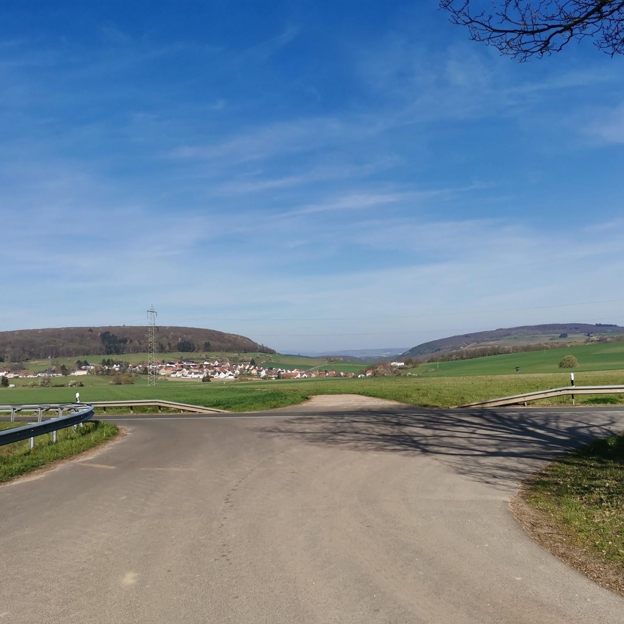
Mega view from Narnia's stone table 😉
1
0


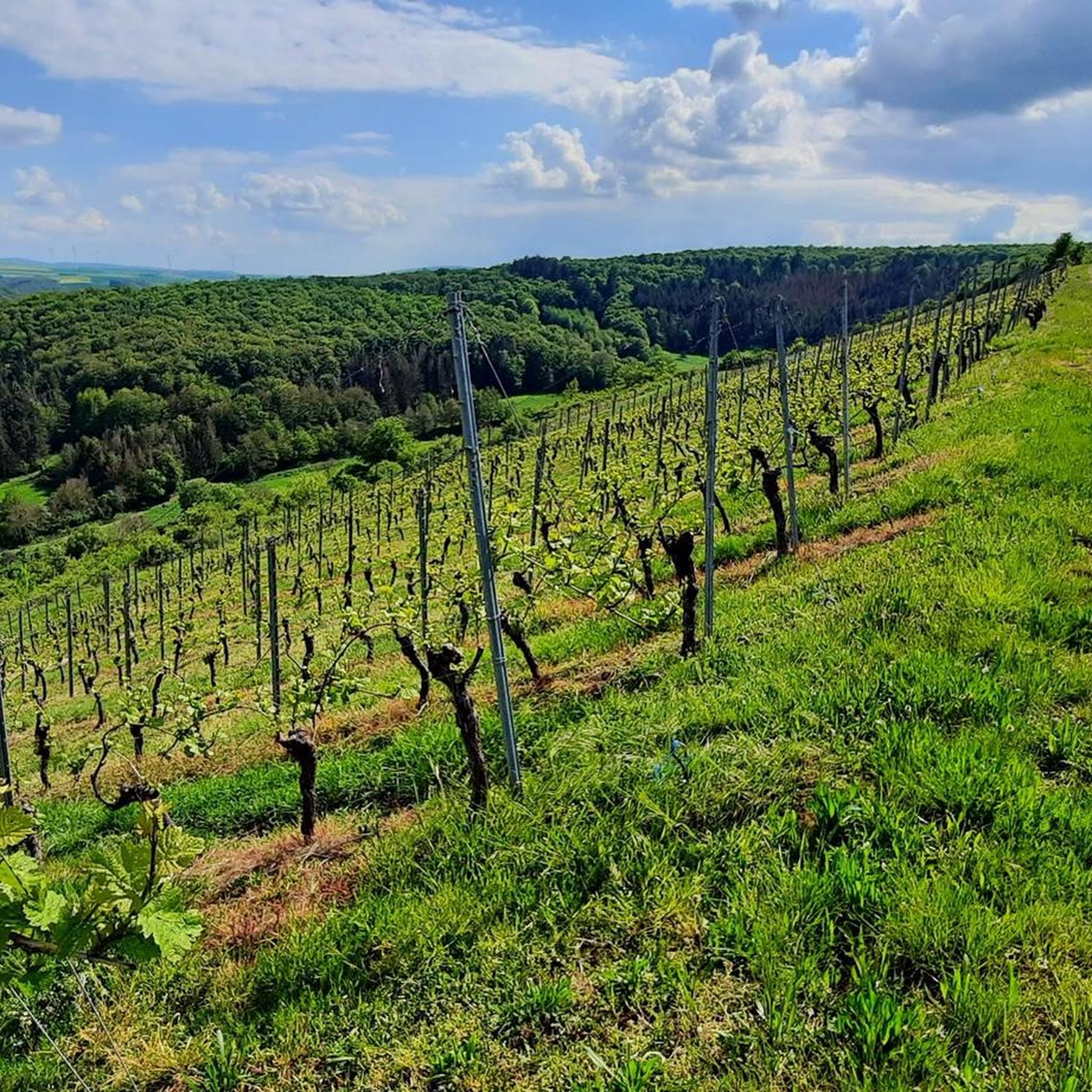
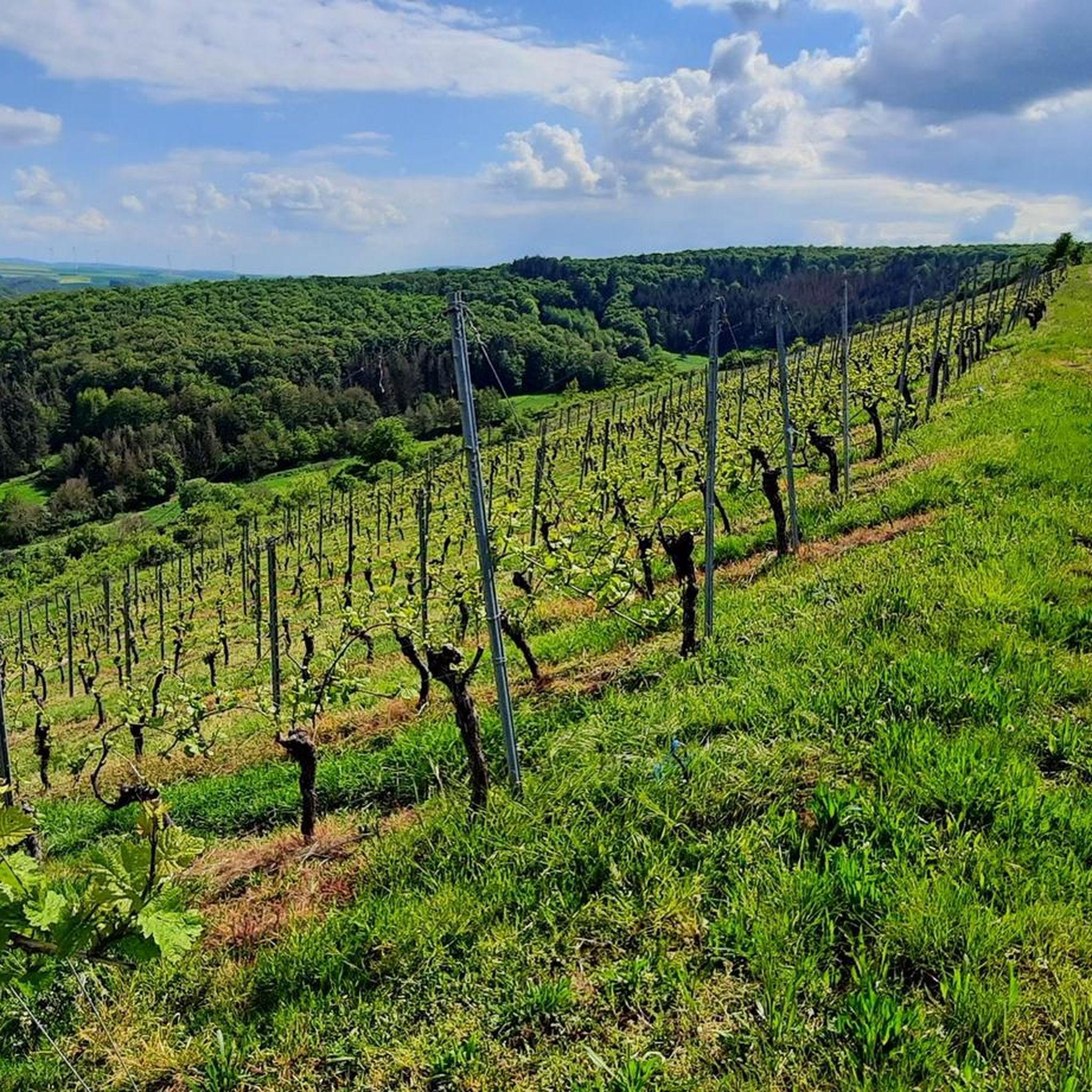
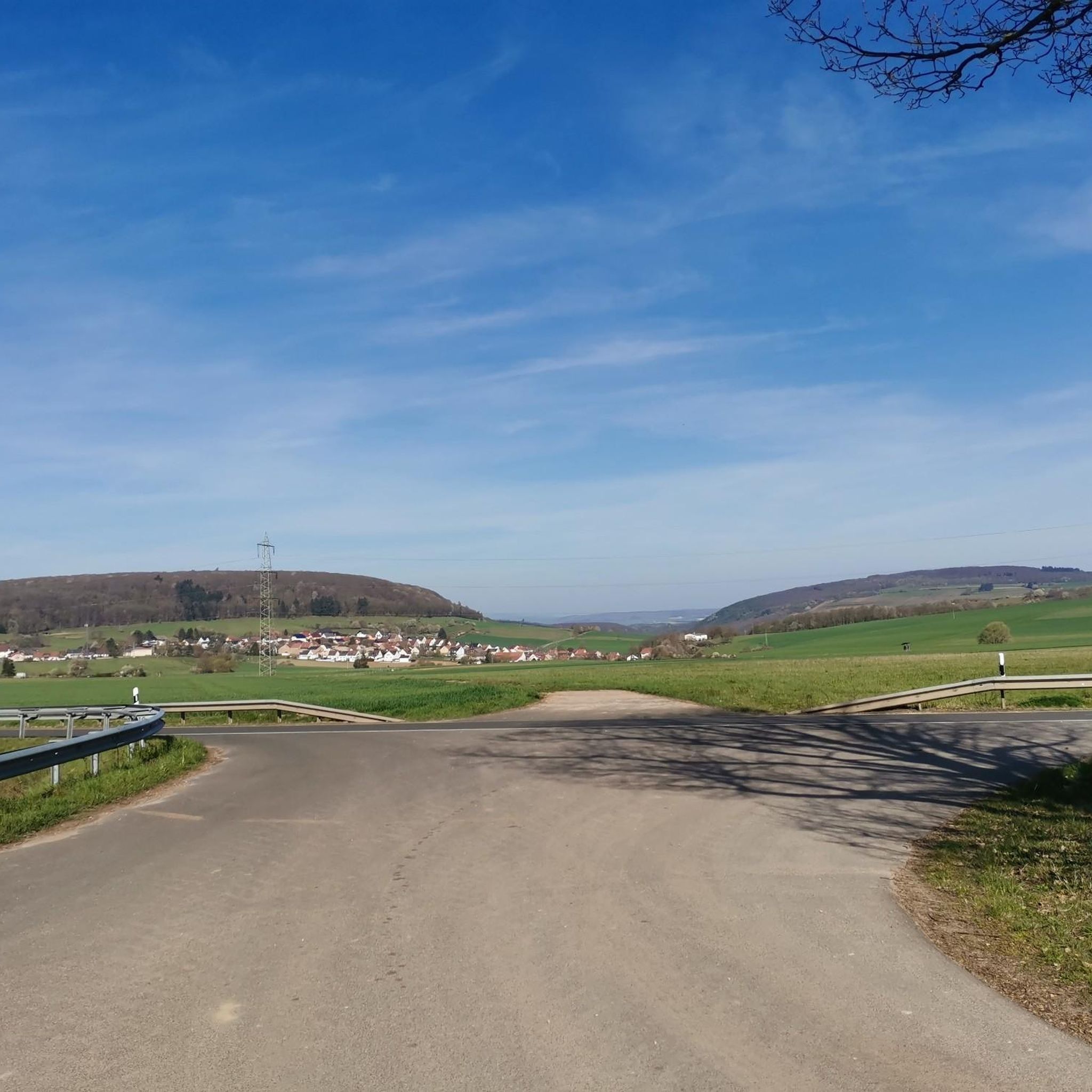
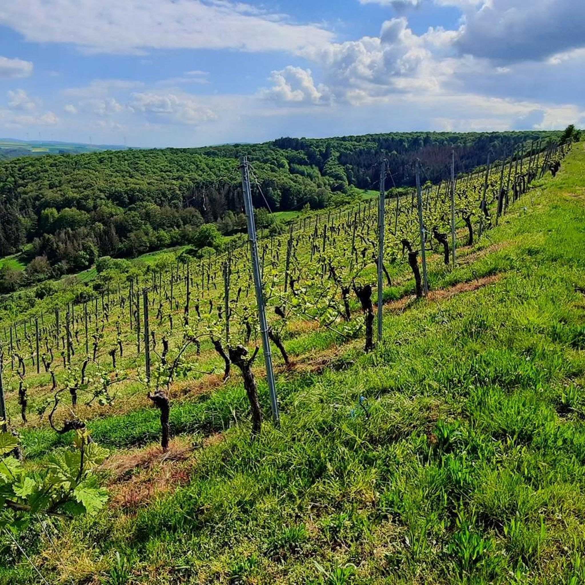
Great view of the valley.
1
0

Highest point of the tour with a panoramic view
1
0

The view makes up for the ascent 👍🏼
1
0

Impressive space, impressive stone table, impressive view! Recently enhanced with beautiful new benches! Be sure to visit during the rapeseed blossom season – fantastic!
1
0
Frequently Asked Questions
What kind of elevated areas or 'mountain peaks' can I expect around Hochstätten?
Hochstätten is situated in the Alsenztal valley and is part of the North Palatine Uplands. The region features elevated terrain, with heights reaching approximately 300 meters above sea level. These are characterized by rolling hills and scenic elevations rather than prominent mountain peaks for high-altitude climbing. The area offers gentle hills and natural landscapes ideal for hiking and enjoying the environment.
What are some popular viewpoints around Hochstätten?
Visitors frequently enjoy several viewpoints. The View from the Gans (Bad Kreuznach) offers magnificent views over the spa towns of Bad Münster am Stein-Ebernburg and Bad Kreuznach. Another popular spot is the View of the Nahe Valley from Lemberghütte Observation Platform, which provides expansive views of the Nahe valley with benches and information boards. The Gangelsberg Stone Table and Scenic Viewpoint is also well-loved for its large stone table and broad valley views.
Are there family-friendly spots among the elevated areas near Hochstätten?
Yes, several elevated spots and viewpoints around Hochstätten are considered family-friendly. Both the View from the Gans (Bad Kreuznach) and the View of the Nahe Valley from Lemberghütte Observation Platform are suitable for families. The Gangelsberg Stone Table and Scenic Viewpoint also offers a spacious rest area, making it a good option for families.
What kind of hiking trails are available near Hochstätten's elevated areas?
The region around Hochstätten offers a variety of hiking trails suitable for different skill levels. You can find routes that integrate viewpoints like the Gans, with tours ranging from 2 to 8 kilometers. For more options, explore the Hiking around Hochstätten guide, which includes routes like the easy 'Glickerberg Vineyard – Quecksilberstollen North Palatinate loop' or the more challenging 'Historic Center of Obermoschel – Langet's Forehead Menhir loop'.
Are there any historical or cultural points of interest near the elevated areas?
Hochstätten itself has a rich history, with a documented history dating back to 1366. The village features an impressive Protestant church with a Gothic tower from the 13th century. While the elevated areas are primarily natural, they are part of a region with historical significance, offering a blend of natural beauty and cultural heritage.
What do visitors particularly enjoy about the elevated areas around Hochstätten?
Visitors appreciate the magnificent panoramic views, especially over the Nahe valley and the spa towns of Bad Münster am Stein-Ebernburg and Bad Kreuznach. Many enjoy the well-maintained observation decks, comfortable benches, and spacious rest areas found at various viewpoints. The natural beauty and the opportunity for peaceful walks and rides are also highly valued.
When is the best time to visit the elevated areas around Hochstätten for hiking?
The North Palatine Uplands and Alsenztal valley are generally pleasant for outdoor activities throughout much of the year. Spring and autumn offer mild temperatures and beautiful scenery, with blooming landscapes or vibrant fall colors. Summer is also suitable, though it can be warmer. Winter hiking is possible, but trails might be slippery or covered in snow, so checking local conditions is advisable.
Are there options for activities other than hiking, like running or cycling?
Yes, the region around Hochstätten is excellent for various outdoor activities. You can find numerous routes for running, such as those listed in the Running Trails around Hochstätten guide. For cyclists, especially gravel biking enthusiasts, there are options like the 'Vineyards, Nahe valley and the Rotenfels around Bad Kreuznach' route, detailed in the Gravel biking around Hochstätten guide.
Where can I find the highest point in the immediate vicinity of Hochstätten?
The highest point in the immediate vicinity, and specifically within the Salinental, is the Gans (321.7 m). This summit offers great views of the Nahetal and is a popular spot for both hikers and mountain bikers.
Are there any unique natural features to explore near these elevated areas?
Beyond the panoramic views, the region offers interesting natural features. For instance, near the View from the Gans, you can find the 'Felsenmeer' (sea of rocks), which provides a unique geological landscape to explore. The area is also part of the nature reserve Bad Kreuznach city forest.
Can I bring my dog on trails around Hochstätten's elevated areas?
Generally, dogs are welcome on most hiking trails in the North Palatine Uplands, provided they are kept on a leash, especially in nature reserve areas or near wildlife. It's always recommended to check specific trail regulations or local signage for any restrictions before heading out with your dog.
Are there any rest areas or facilities at these viewpoints?
Yes, several viewpoints are equipped with facilities for visitors. The View of the Nahe Valley from Lemberghütte Observation Platform features benches and relaxation loungers. The Gangelsberg Stone Table and Scenic Viewpoint is known for its large stone table, which serves as a spacious rest area.
What is the 'Lettweiler Höhe' and what does it offer?
The Lettweiler Höhe is a summit known for its good panoramic views of the surrounding area. It involves a challenging ascent, particularly from Obermoschel, with gradients sometimes reaching just under 15%. Despite the demanding climb, visitors find the effort worthwhile for the beautiful scenery it offers.
Most popular routes around Hochstätten
Most popular attractions around Hochstätten

Get inspired with the komoot mobile app


Explore more
See even more amazing summits around Hochstätten with these guides:
