The 7 Most Amazing Peaks around Altenbamberg
Best mountain peaks around Altenbamberg are characterized by rolling hills, picturesque valleys, and lush forests within the Alsenz valley on the edge of the North Palatine Uplands. While not home to traditional alpine peaks, the area features elevated natural formations and historical sites. These locations provide views and hiking opportunities, making Altenbamberg a destination for nature enthusiasts.
Best mountain peaks around Altenbamberg
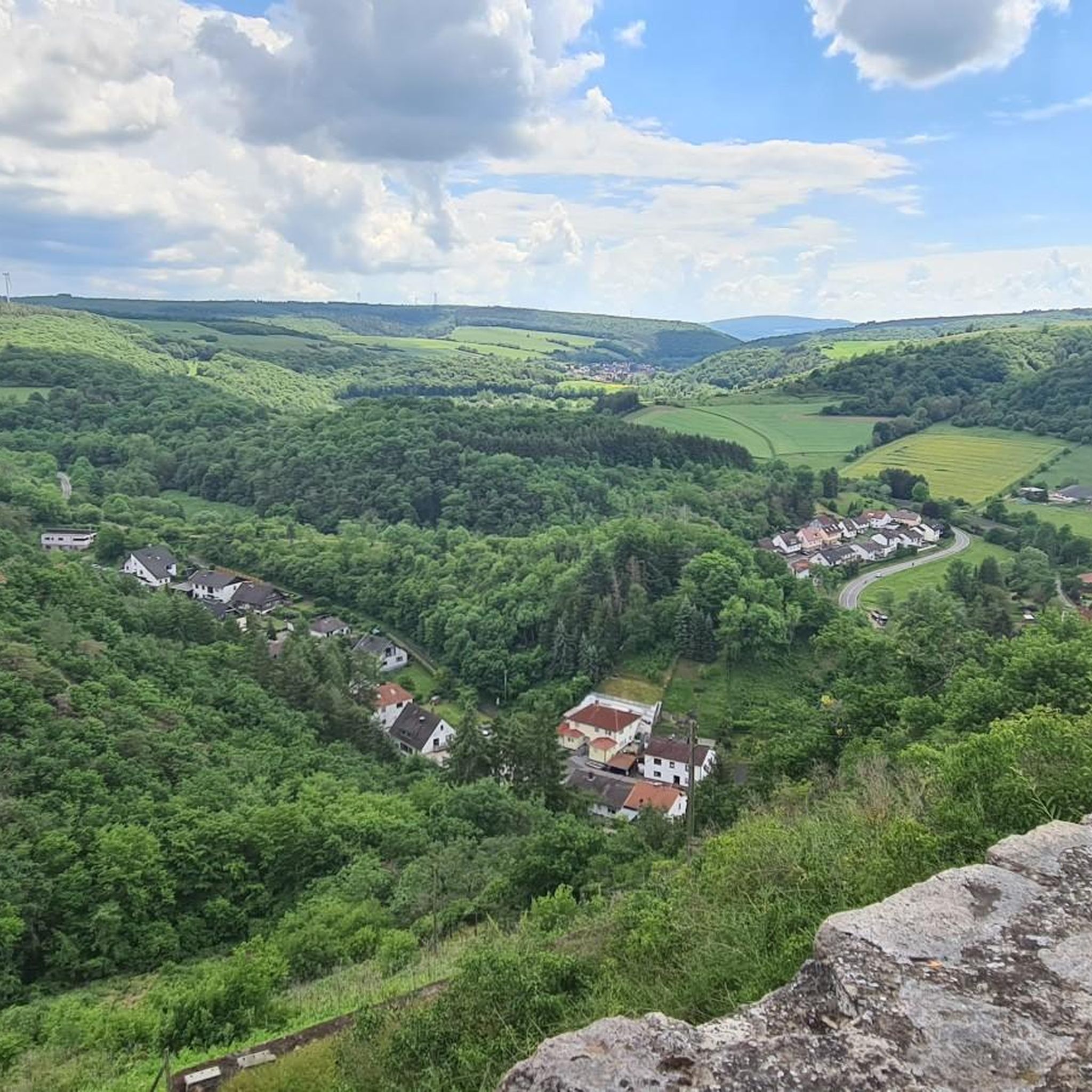
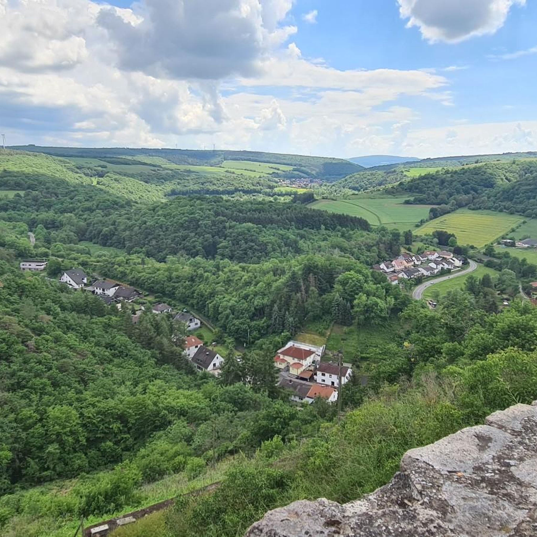
- The most popular mountain peaks is View from the Gans (Bad Kreuznach), a viewpoint located in the…
Last updated: August 6, 2026
View from the Gans (Bad Kreuznach)
Highlight • Viewpoint
Translated by Google •
Tip by

Lemberg Viewpoint
Highlight • Viewpoint
Translated by Google •
Tip by

Sign up now to discover places like this
Get recommendations on the best single tracks, peaks, & plenty of other exciting outdoor places.
Sign up for free
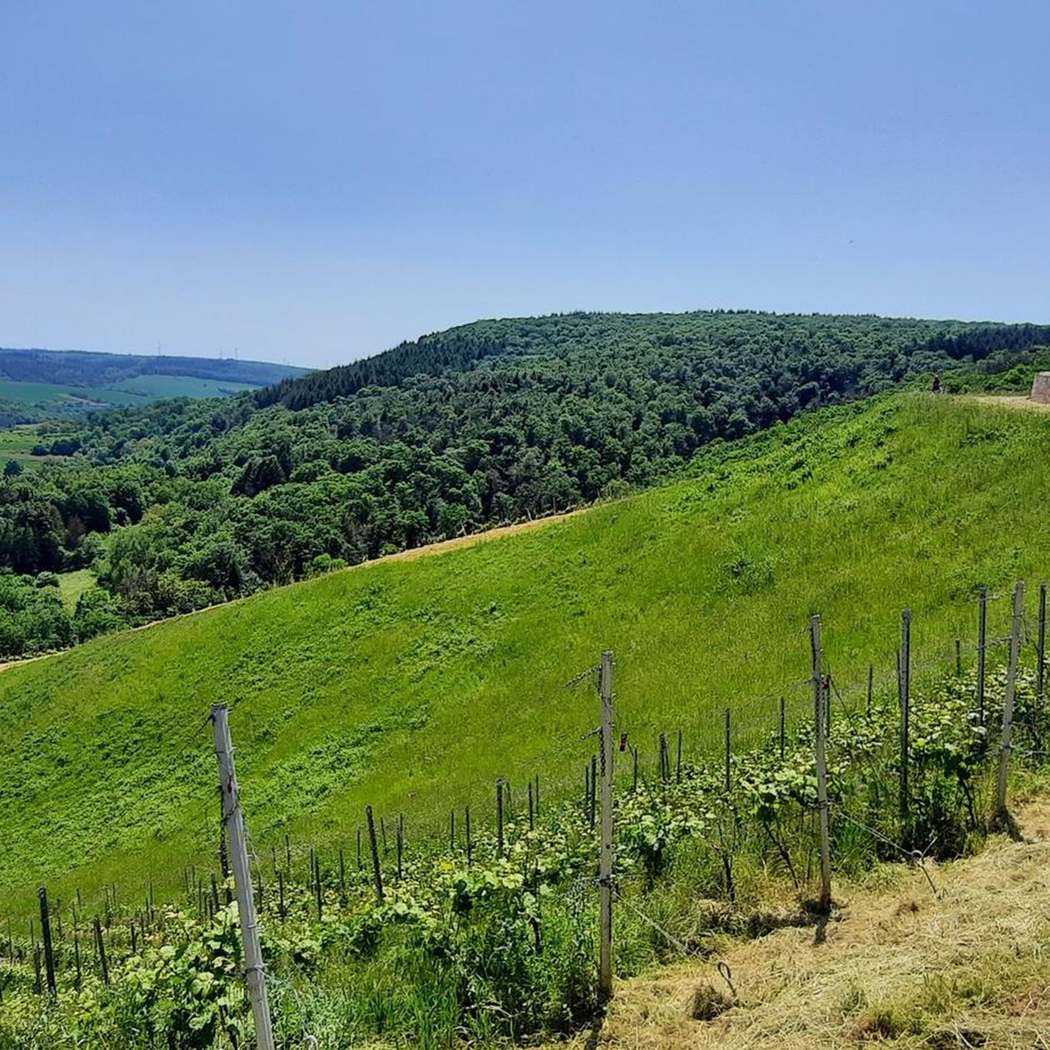
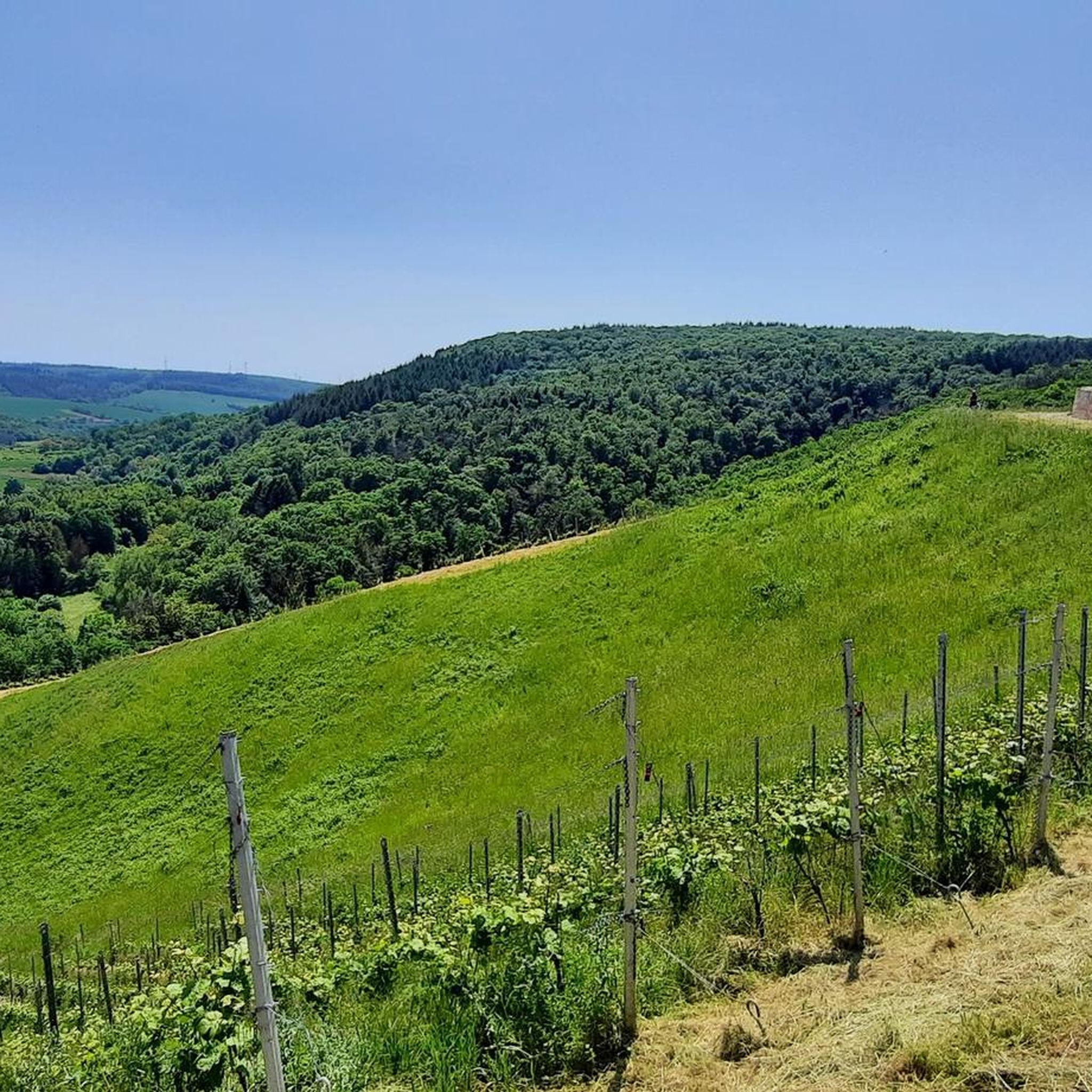
Lettweiler Höhe
Highlight • Summit
Translated by Google •
Tip by

Gangelsberg Stone Table and Scenic Viewpoint
Highlight • Viewpoint
Translated by Google •
Tip by

Gans (321.7 m) – Highest Point of the Salinental
Highlight • Summit
In the area are the 321.7 m high goose, the 290.8 m high Haidberg and the 136 m high porphyry rock formation Rheingrafenstein.
Have fun and ride save!
Translated by Google •
Tip by

Sign up for free to discover even more peaks around Altenbamberg.
Sign up for free
Already have an account?
Start today with a free account
Your next adventure awaits.
Login or Signup
Tips from the Community

From Obermoschel with ramps of 15-18% a quite challenging climb.
0
0

Great section, and both directions are worth it
0
0

Mega view from Narnia's stone table 😉
1
0


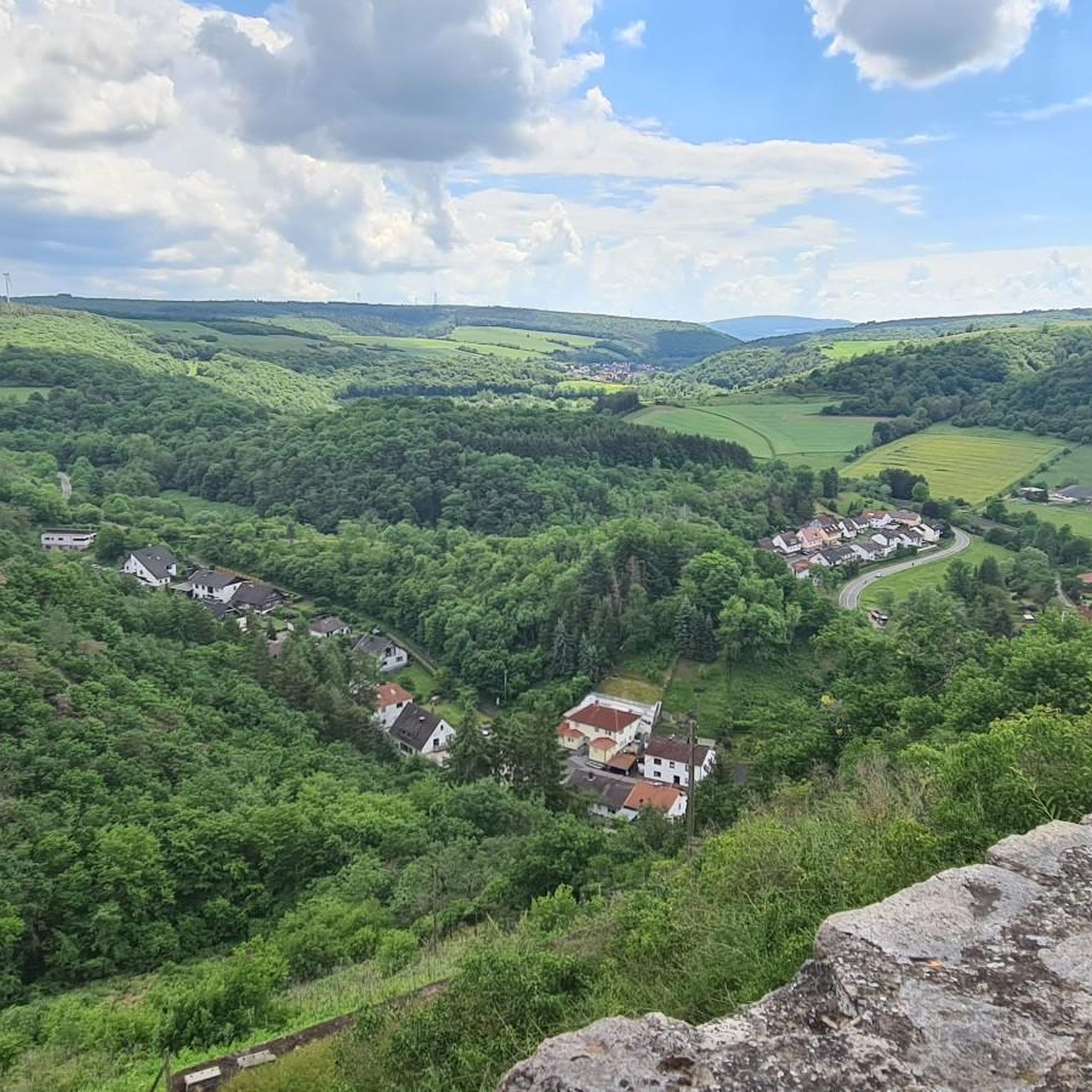
Great view of the valley.
1
0

Highest point of the tour with a panoramic view
1
0

The view makes up for the ascent 👍🏼
1
0

Impressive space, impressive stone table, impressive view! Recently enhanced with beautiful new benches! Be sure to visit during the rapeseed blossom season – fantastic!
1
0
Frequently Asked Questions
What kind of elevated natural features can I explore around Altenbamberg?
While Altenbamberg is known for rolling hills and valleys rather than traditional alpine peaks, you can explore various elevated natural features and historical sites. Notable spots include the View from the Gans (Bad Kreuznach), the View of the Nahe Valley from Lemberghütte Observation Platform, and the Gangelsberg Stone Table and Scenic Viewpoint. The region also features the impressive Rotenfels, the highest rock face between the Alps and Scandinavia, and the Ebernburg Rock Heritage Site.
Are there family-friendly elevated viewpoints or hikes in the Altenbamberg area?
Yes, several viewpoints are considered family-friendly. The View from the Gans (Bad Kreuznach) and the View of the Nahe Valley from Lemberghütte Observation Platform are both suitable for families. Additionally, the Gangelsberg Stone Table and Scenic Viewpoint offers a spacious rest area with panoramic views, perfect for a family outing. The Kuhberg area also features a barefoot trail, which is particularly suitable for children to engage their senses.
What are the best viewpoints to experience panoramic vistas of the Nahe Valley?
For breathtaking views of the Nahe Valley, we recommend the View of the Nahe Valley from Lemberghütte Observation Platform, which offers a well-secured observation deck. Another excellent spot is the Gans (321.7 m) – Highest Point of the Salinental, providing a great perspective over the valley. The Gangelsberg Stone Table and Scenic Viewpoint also provides extensive panoramic views.
What historical sites can I find near the elevated areas around Altenbamberg?
The history of Altenbamberg is closely tied to the Altenbaumburg Castle Ruins, a large spur castle ruin on a ridge above the village, offering historical insights and panoramic views. The Ebernburg Rock Heritage Site also allows you to explore fascinating rocky landscapes alongside the remains of a medieval castle.
What is the difficulty level of hiking trails around Altenbamberg's elevated features?
The hiking trails around Altenbamberg cater to a range of abilities. You can find easy to moderate routes, such as the 6.5 km 'Altenbaumburg Castle Ruins – View from Uhufels with picnic area loop from Rheingrafenstein'. Some ascents, like to the Lettweiler Höhe, can be challenging with steep gradients, but they reward you with excellent panoramic views. The region offers well-signposted paths for both beginners and experienced hikers.
When is the best time of year to visit Altenbamberg for hiking and enjoying the views?
The best seasons for hiking and enjoying the natural scenery around Altenbamberg are typically spring and autumn. During these times, the landscape is particularly vibrant, with lush greenery in spring and colorful foliage in autumn, making for impressive vistas and pleasant hiking conditions.
Are there any long-distance hiking trails that pass near Altenbamberg?
Yes, the Soonwaldsteig, a long-distance hiking trail stretching over 85 kilometers, passes near Altenbamberg. This trail offers stunning views of the surrounding landscape and includes points of interest like the impressive Bismarck Tower, which provides a panoramic view of the Nahe valley.
What outdoor activities, besides hiking, can I do near the elevated features of Altenbamberg?
Beyond hiking, the area around Altenbamberg offers opportunities for gravel biking and mountain biking. You can explore routes like 'Vineyards, Nahe valley and the Rotenfels around Bad Kreuznach' for gravel biking or 'Rotenfels Cliffs – Niederhausen Dam loop from Bad Münster am Stein' for mountain biking. For more options, check out the Gravel biking around Altenbamberg and MTB Trails around Altenbamberg guides.
What do visitors enjoy most about the elevated spots and viewpoints around Altenbamberg?
Visitors consistently praise the magnificent panoramic views, especially over the Nahe valley and the spa towns of Bad Münster am Stein-Ebernburg and Bad Kreuznach. Many appreciate the well-maintained observation decks and spacious rest areas, like the Gangelsberg Stone Table and Scenic Viewpoint, which invite lingering. The diverse trails leading to these spots, often integrated into premium hiking routes, are also highly valued.
Can I find circular hiking routes that include the elevated features around Altenbamberg?
Yes, there are several circular hiking routes available. For example, you can take the 'Rheingrafenstein Castle Ruins – Altenbaumburg Castle Ruins loop from Altenbamberg' which is about 12.7 km. Another option is the 'Altenbaumburg Trail – Bismarck Hut loop from Altenbamberg', a moderate 4.3 km route. These routes allow you to experience multiple highlights and viewpoints in a single trip.
Is the Rotenfels accessible for visitors, and what does it offer?
Yes, the Rotenfels is accessible and offers a well-developed and secured footpath along its length. As the highest rock face between the Alps and Scandinavia, it provides breathtaking views of the surrounding landscape. It's a significant geological landmark and a popular spot for hikers.
Are there any specific trails that lead to the highest points in the Salinental area?
The Gans (321.7 m) – Highest Point of the Salinental can be reached via various trails. It's comfortably hiked from Rheingrafenstein Castle and the observatory above Bad Münster am Stein-Ebernburg and Bad Kreuznach. The Emil-Jacob-Weg (KH 8) is one such trail that opens up this hiking area from Salinental, offering numerous viewpoints along the way.
Most popular routes around Altenbamberg
Most popular attractions around Altenbamberg

Get inspired with the komoot mobile app


Explore more
See even more amazing summits around Altenbamberg with these guides:
