The 3 Most Amazing Peaks around Pfaffen-Schwabenheim
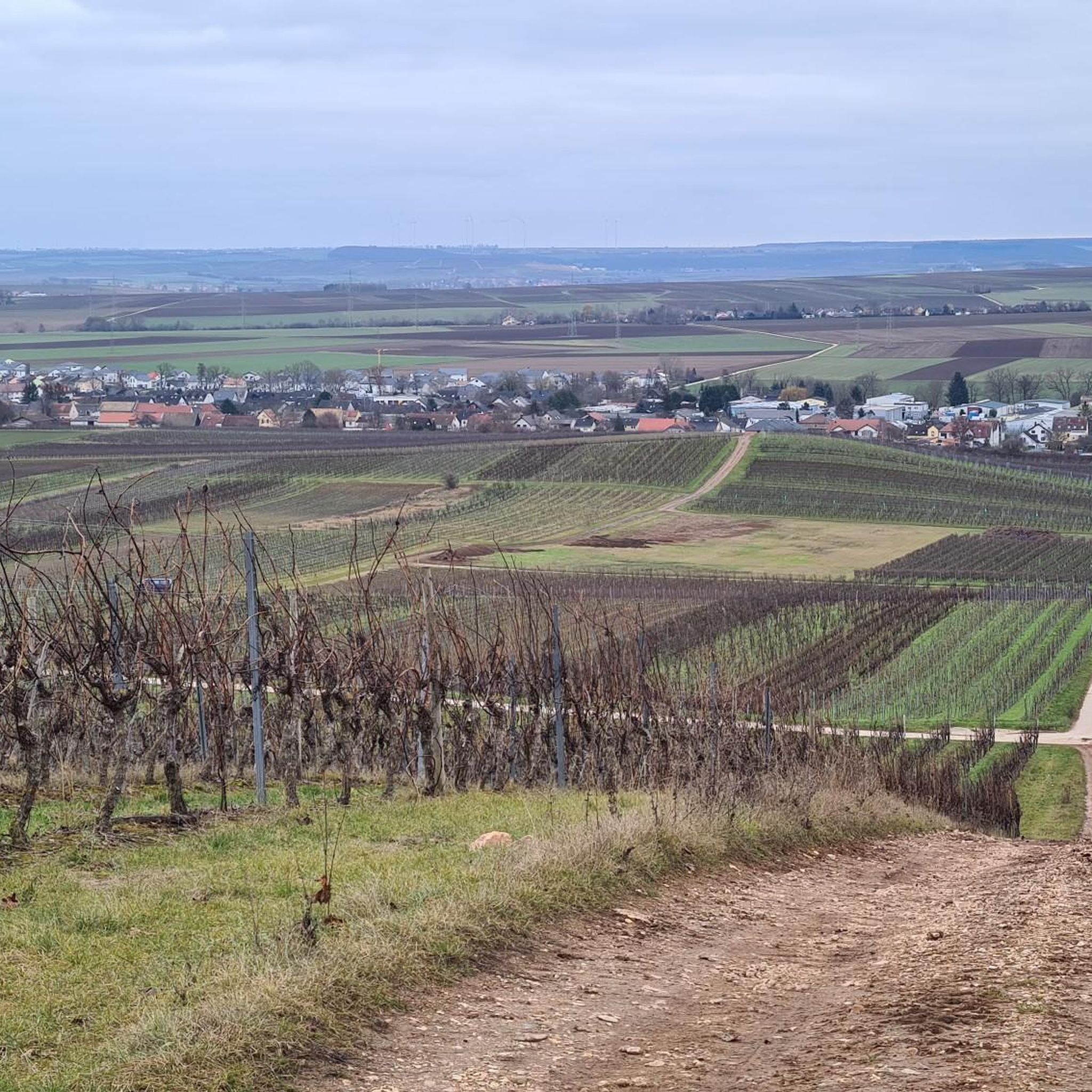
Best mountain peaks around Pfaffen-Schwabenheim are characterized by a landscape of gentle hills and vineyards rather than prominent mountain ranges. This municipality in Rhineland-Palatinate, Germany, has an average elevation of approximately 144 meters. The local terrain offers numerous hiking and walking routes through its hilly topography. Pfaffen-Schwabenheim is known as a winegrowing village with a gentler landscape.
Best mountain peaks around Pfaffen-Schwabenheim
- The most popular mountain peaks is View from the Gans (Bad Kreuznach), a viewpoint that offers a…
Last updated: June 27, 2026
View from the Gans (Bad Kreuznach)
Highlight • Viewpoint
Translated by Google •
Tip by

Zotzenheimer Horn Viewpoint
Highlight • Viewpoint
Translated by Google •
Tip by

Sign up now to discover places like this
Get recommendations on the best single tracks, peaks, & plenty of other exciting outdoor places.
Sign up for free
Gans (321.7 m) – Highest Point of the Salinental
Highlight • Summit
In the area are the 321.7 m high goose, the 290.8 m high Haidberg and the 136 m high porphyry rock formation Rheingrafenstein.
Have fun and ride save!
Translated by Google •
Tip by

Heinrichskopf
Highlight • Summit
Translated by Google •
Tip by

View from the cross above Bad Münster am Stein-Ebernburg
Highlight • Viewpoint
Translated by Google •
Tip by

Sign up for free to discover even more peaks around Pfaffen-Schwabenheim.
Sign up for free
Already have an account?
Start today with a free account
Your next adventure awaits.
Login or Signup
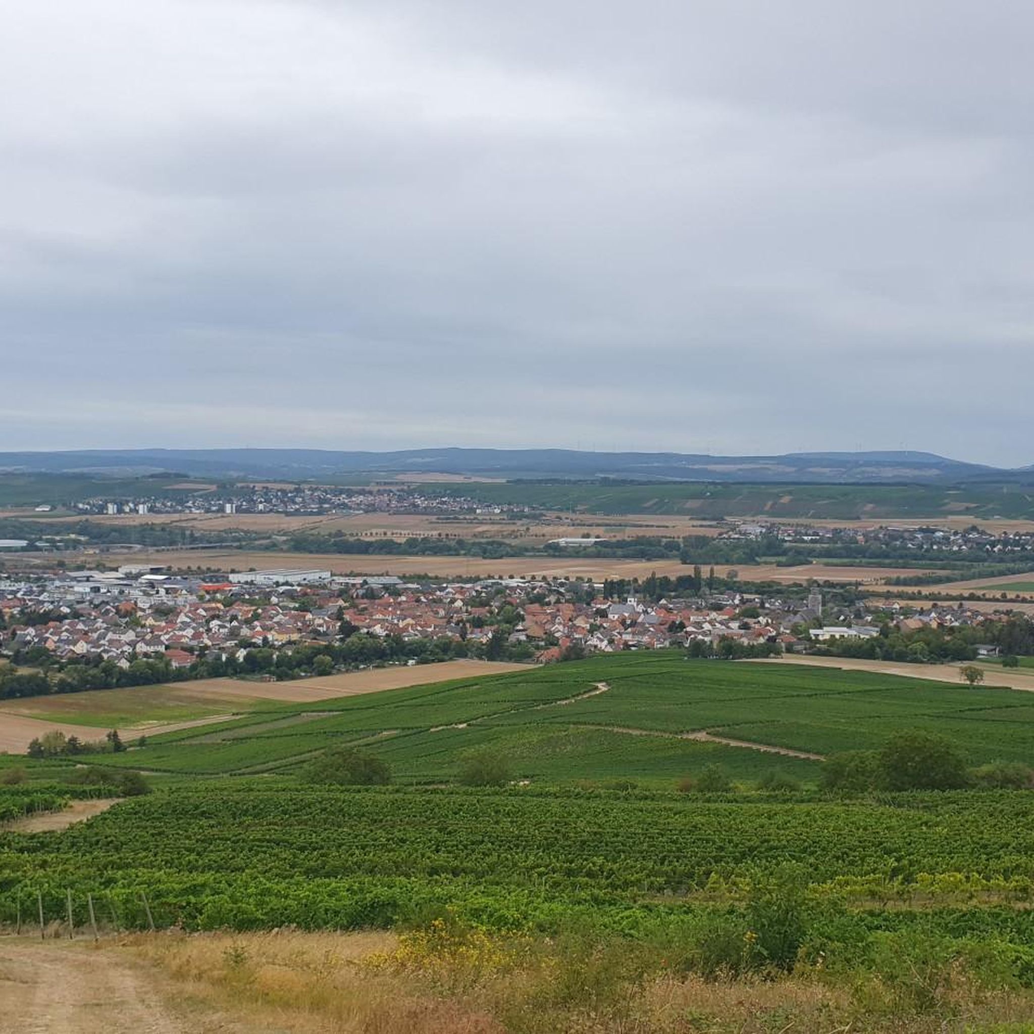
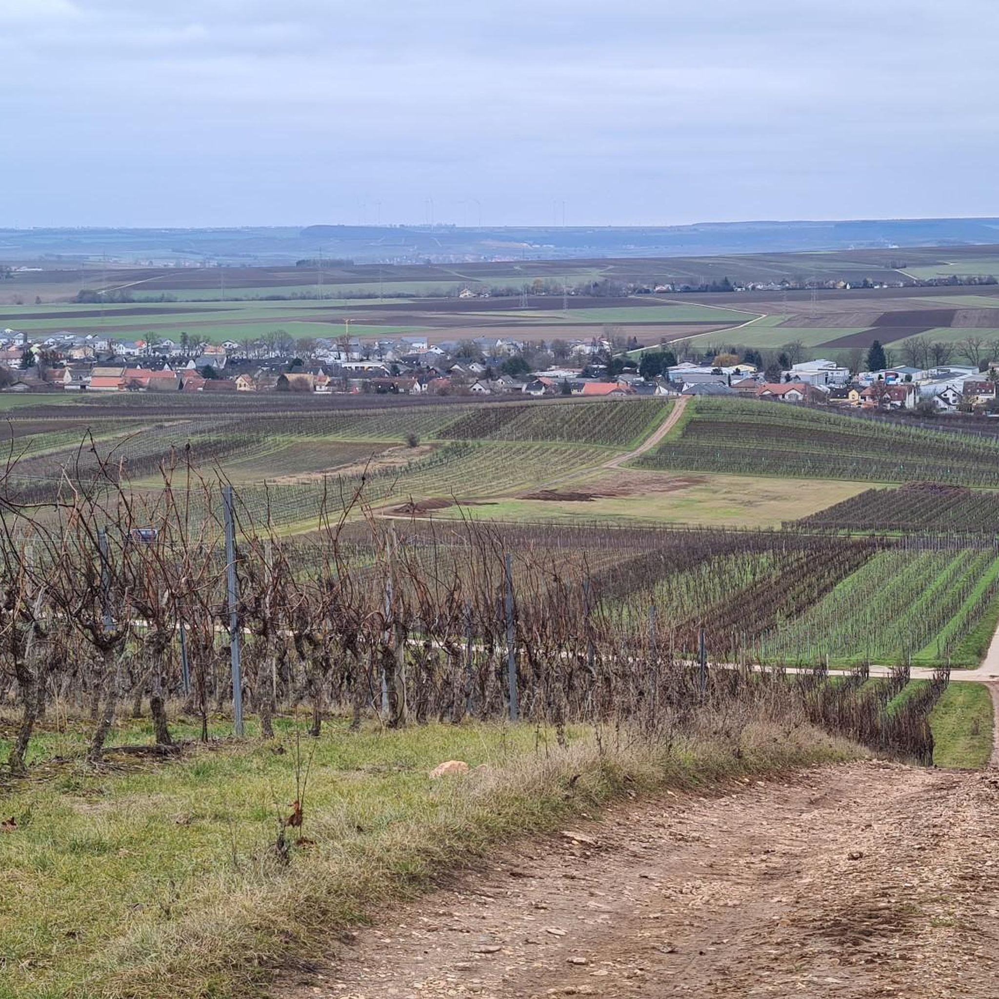
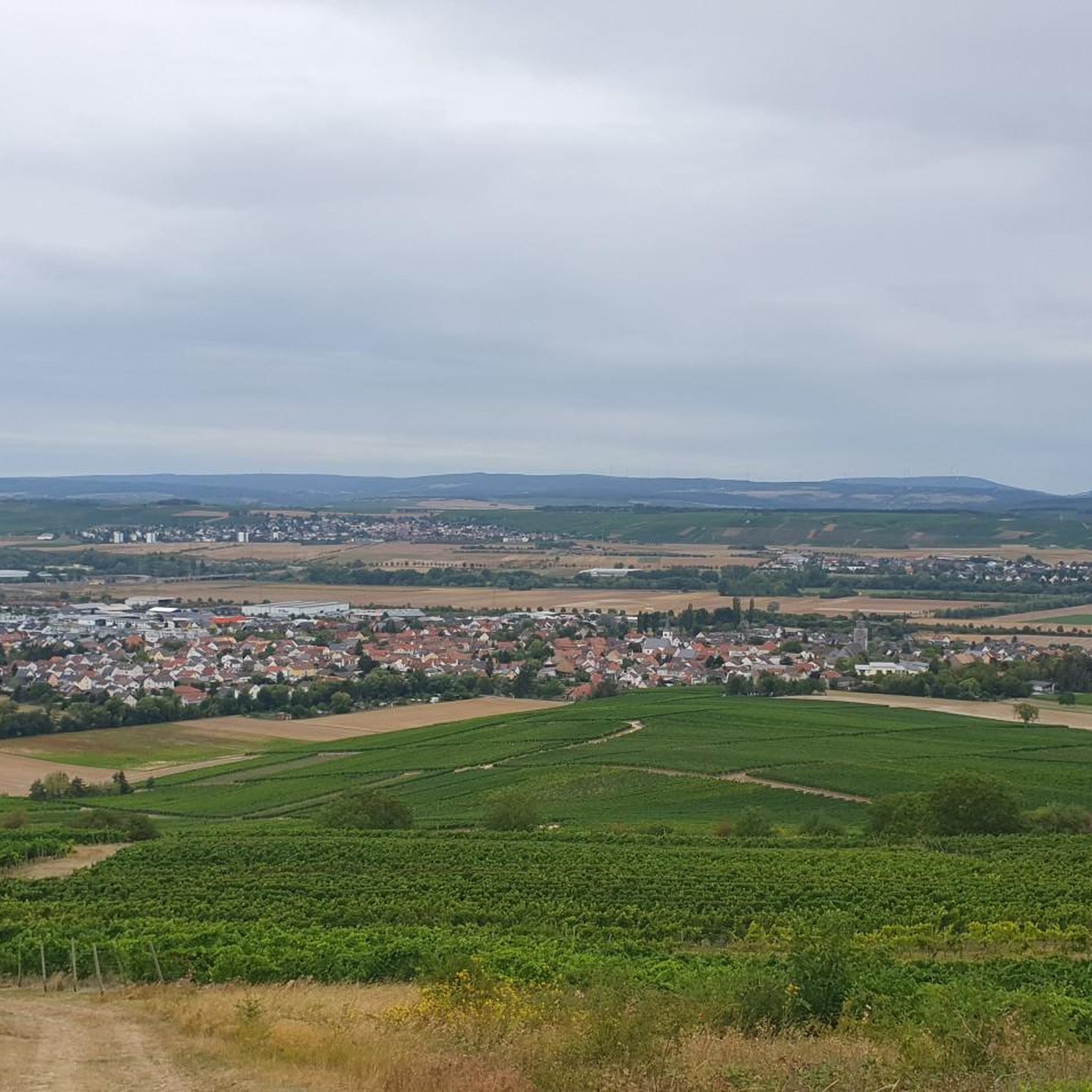
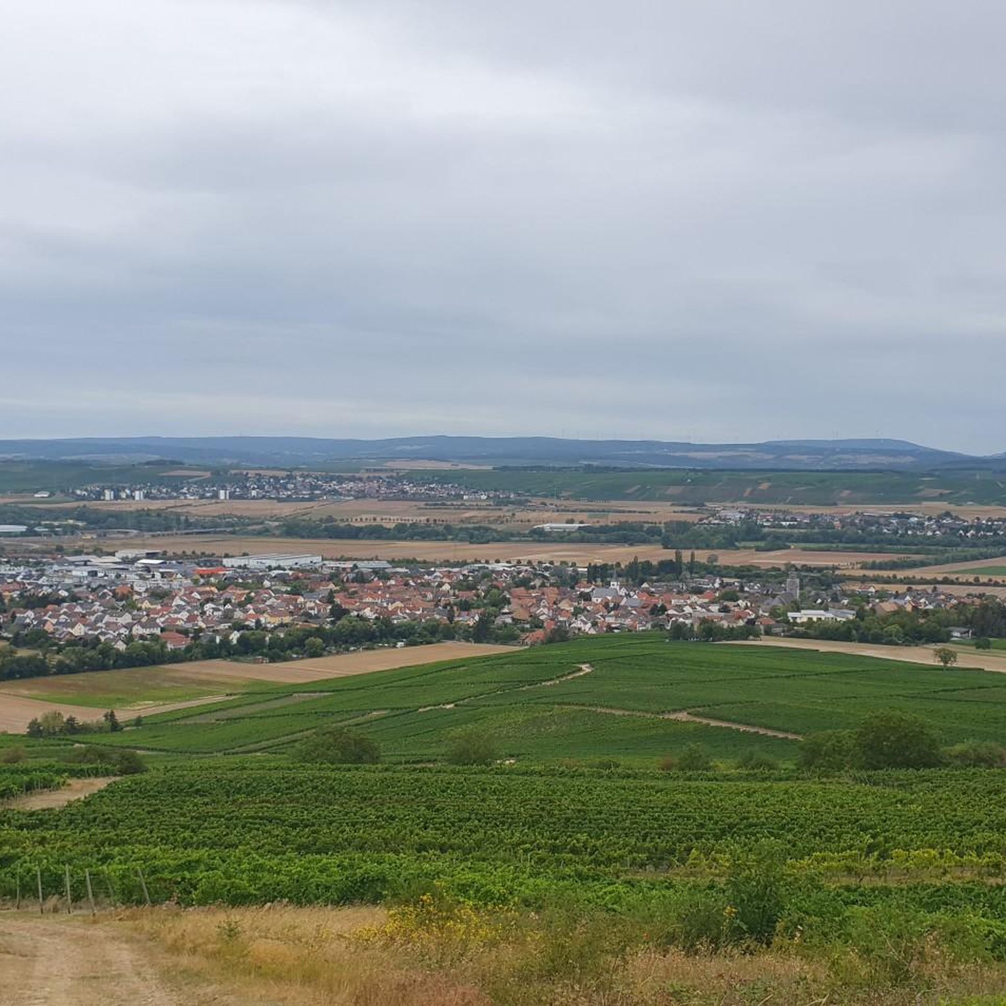
Tips from the Community

Panorama and free binoculars Lots of space, little shade
1
0

Long trousers are an advantage if you are coming from the east. The western access route is easy. However, you should not miss the turn-off (look at the map/GPS). A detour to the mountain cross is worthwhile.
0
0

the access to the summit cross is very hidden, but the view is phenomenal
0
0

Just beautiful - sufficient rest areas and a fantastic view
1
0

This isn't really a summit cross! I think someone made something there. You have to fight your way back down through the bushes to get there. Also: The view is much easier and can be seen from secure spots that are right on the official route.
0
1

Beautiful, narrow paths run around the Heinrichskopf
2
1

Where the hiking trail goes around the Heinrichskopf, the landscape is very varied and partly rocky.
2
0

Is something hidden. A detour past well-known hiking trails leads there. Great view when you reach the cross.
0
0
Frequently Asked Questions
What kind of mountain peaks can I expect around Pfaffen-Schwabenheim?
The area around Pfaffen-Schwabenheim is characterized by gentle hills and vineyards rather than prominent mountain ranges. The local terrain offers numerous hiking and walking routes through its hilly topography, with elevated spots providing scenic viewpoints.
What are some popular viewpoints or elevated spots to visit near Pfaffen-Schwabenheim?
Visitors frequently enjoy the View from the Gans (Bad Kreuznach), which offers a magnificent panorama over Bad Münster am Stein-Ebernburg and Bad Kreuznach. Another popular spot is the Zotzenheimer Horn Viewpoint, known for its panoramic views and comfortable rest areas. The Gans (321.7 m) – Highest Point of the Salinental also provides notable views of the Nahetal.
Are there family-friendly options for exploring the elevated areas?
Yes, several spots are suitable for families. The Zotzenheimer Horn Viewpoint is noted for its easy walk with no significant inclines and sufficient rest areas. The View over Guldental from the hilltop cross is also considered family-friendly.
What is the highest point near Pfaffen-Schwabenheim?
The Gans (321.7 m) – Highest Point of the Salinental is one of the highest points in the immediate vicinity, reaching 321.7 meters. It offers a great view of the Nahetal.
What outdoor activities can I do near these elevated areas?
The region offers various outdoor activities. You can find numerous routes for mountain biking, gravel biking, and cycling. For example, explore the MTB Trails around Pfaffen-Schwabenheim, enjoy Gravel biking around Pfaffen-Schwabenheim, or go Cycling around Pfaffen-Schwabenheim. The hilly terrain is also ideal for hiking and walking.
What is the general difficulty of hiking trails around Pfaffen-Schwabenheim?
The terrain around Pfaffen-Schwabenheim consists mostly of gentle hills, making many trails accessible with no significant inclines. However, some viewpoints, like the View from the cross above Bad Münster am Stein-Ebernburg, can involve more challenging access, sometimes requiring navigating through undergrowth.
What do visitors particularly appreciate about the elevated spots in this region?
Visitors frequently highlight the magnificent panoramic views, especially from spots like the View from the Gans (Bad Kreuznach) and the Zotzenheimer Horn Viewpoint. The presence of sufficient rest areas and the pleasant, often gentle, hiking experiences are also highly valued.
Are there any natural features or landmarks to look out for?
Beyond the viewpoints, the region is known for its winegrowing landscape. The View from the Gans (Bad Kreuznach) is located within the nature reserve Bad Kreuznach city forest. The area also features the Nahetal, visible from the Gans (321.7 m) – Highest Point of the Salinental.
What is the best time to visit Pfaffen-Schwabenheim for outdoor activities?
Given its winegrowing landscape and generally gentle terrain, Pfaffen-Schwabenheim is pleasant to visit during spring, summer, and early autumn. These seasons offer favorable weather for hiking, cycling, and enjoying the panoramic views without extreme conditions.
Can I find easy hiking trails near Pfaffen-Schwabenheim?
Yes, many trails in the area are considered easy, traversing the gentle hills and vineyards. The Zotzenheimer Horn Viewpoint, for instance, is accessible via a hike with no significant inclines, making it suitable for those seeking a less strenuous experience.
Are there any historical or cultural sites associated with the elevated areas?
While the focus is on natural viewpoints, some elevated spots offer views of historical significance. For example, the View from the Gans (Bad Kreuznach) provides views over the spa towns of Bad Münster am Stein-Ebernburg and Bad Kreuznach, which have historical roots. The name 'Gans' itself is thought to derive from a Celtic name for scree.
Most popular routes around Pfaffen-Schwabenheim
Most popular attractions around Pfaffen-Schwabenheim

Get inspired with the komoot mobile app


Explore more
See even more amazing summits around Pfaffen-Schwabenheim with these guides:
