The 5 Most Amazing Peaks around Dommershausen
Best mountain peaks around Dommershausen are situated within the Hunsrück region, an area defined by its scenic hills and valleys. The municipality itself lies on a ridge between the Baybach and Lützbach valleys, providing numerous elevated points. These locations offer opportunities for hiking and enjoying panoramic views, often leading to natural and historical attractions. The region's appeal is rooted in its extensive network of hiking trails through hilly forested areas.
Best mountain peaks around Dommershausen
- The most popular mountain peaks…
Last updated: June 27, 2026
Summit Cross Above Kloster Engelport
Highlight • Summit
There is also an observation deck with a picnic bench and a large open shelter.
Translated by Google •
Tip by

Treiser Schock Summit Cross
Highlight • Summit
Translated by Google •
Tip by

Sign up now to discover places like this
Get recommendations on the best single tracks, peaks, & plenty of other exciting outdoor places.
Sign up for free
Goßberg, former bunker
Highlight • Monument
Translated by Google •
Tip by
Buchhöller Kopf Viewpoint
Highlight • Viewpoint
Translated by Google •
Tip by
Zillesberg Summit Cross
Highlight • Summit
Translated by Google •
Tip by

Sign up for free to discover even more peaks around Dommershausen.
Sign up for free
Already have an account?
Start today with a free account
Your next adventure awaits.
Login or Signup
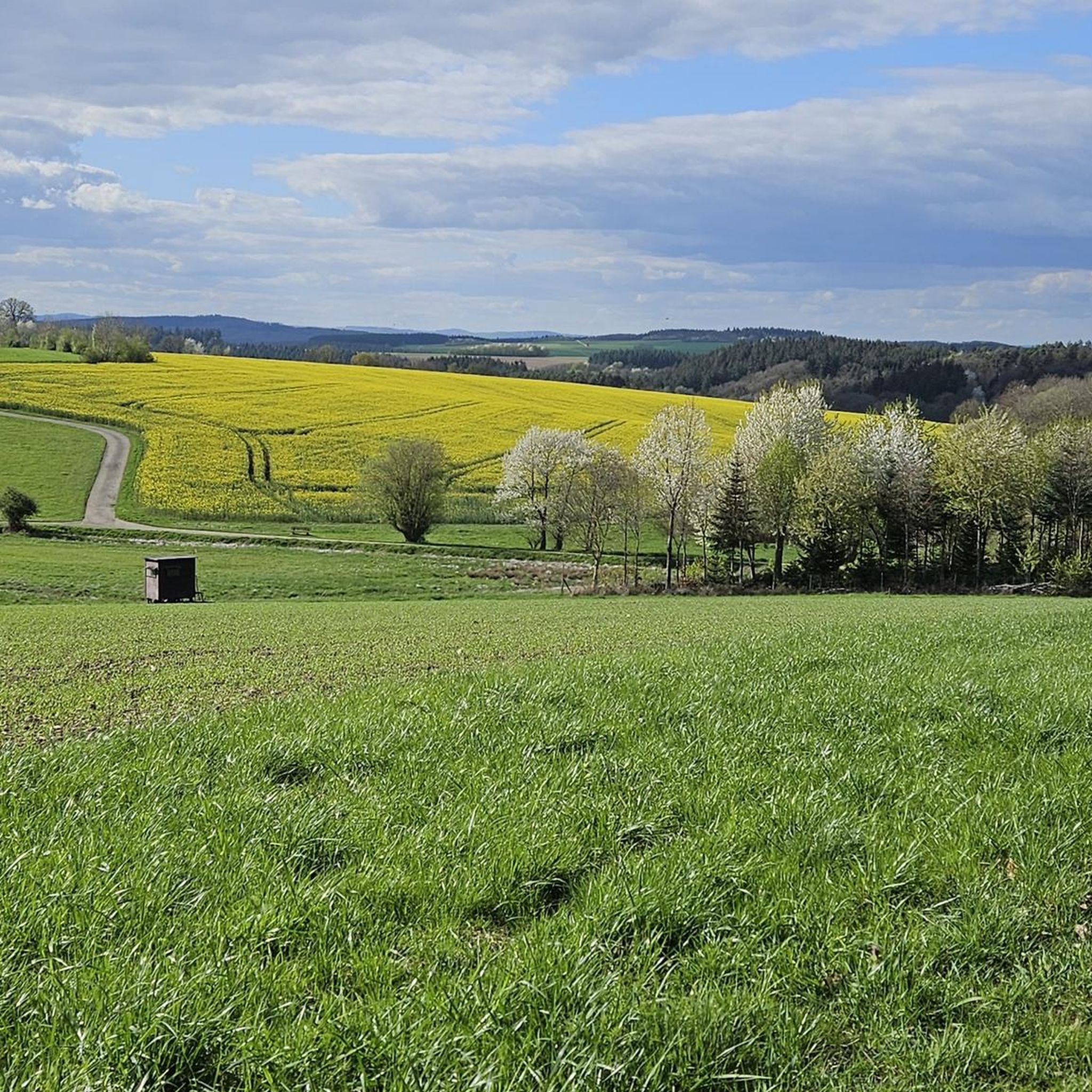
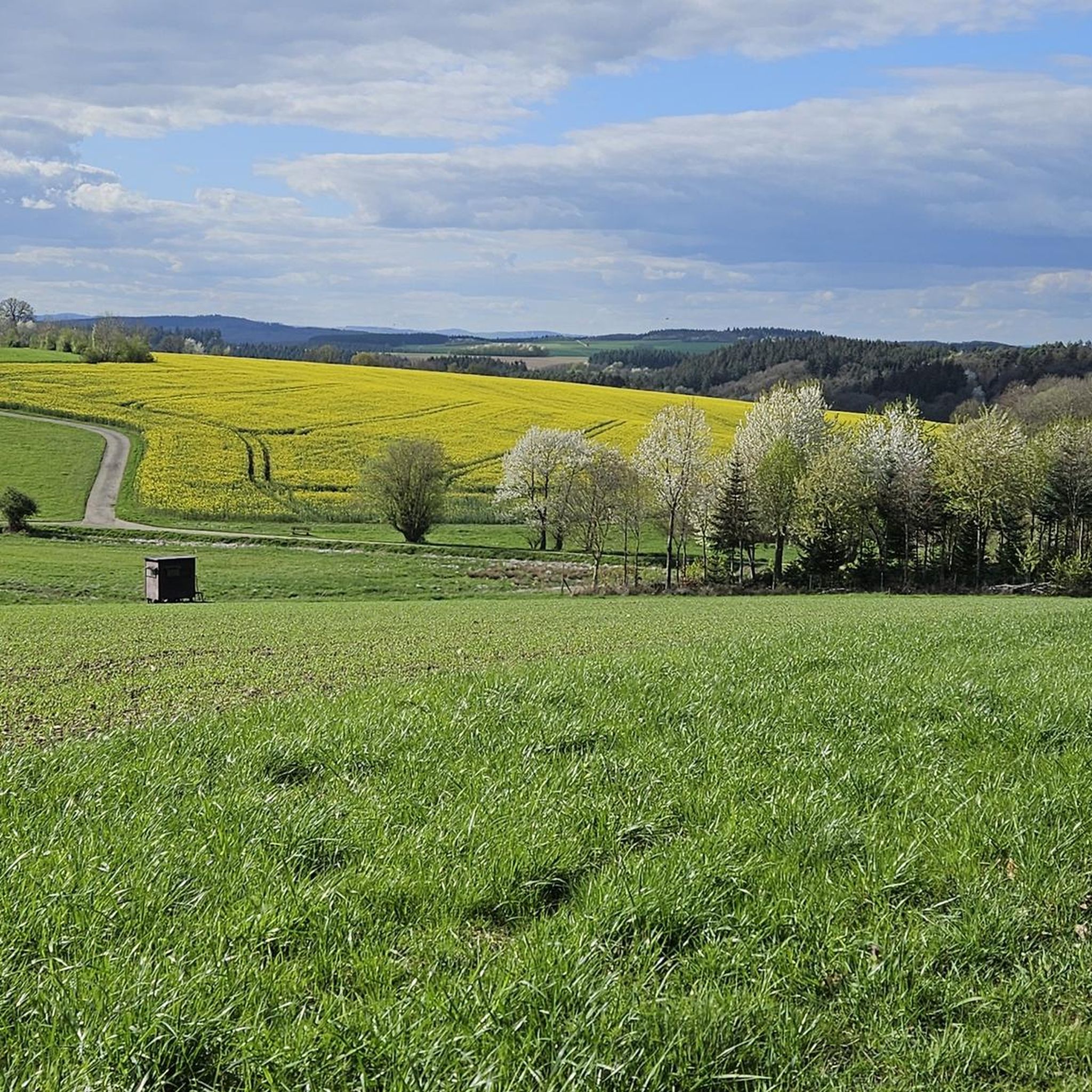
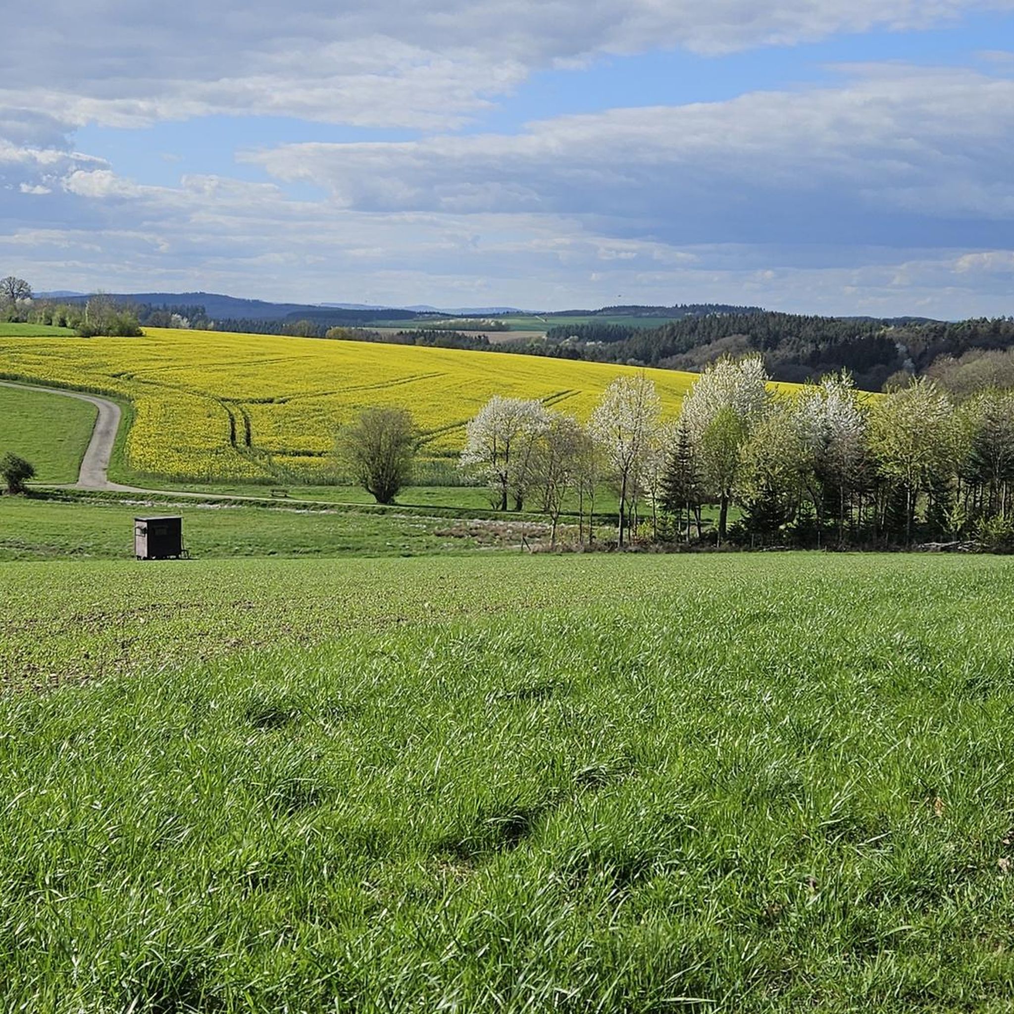
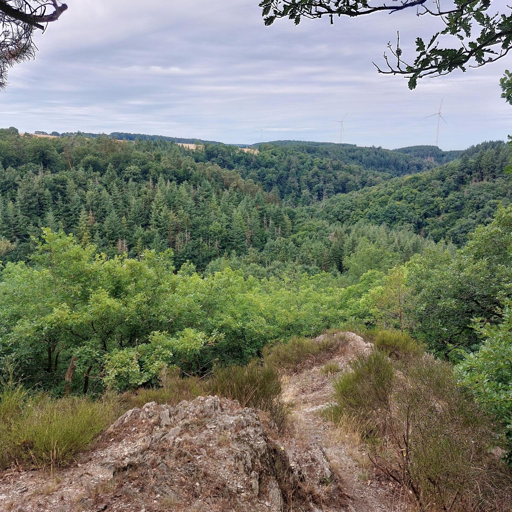
Tips from the Community

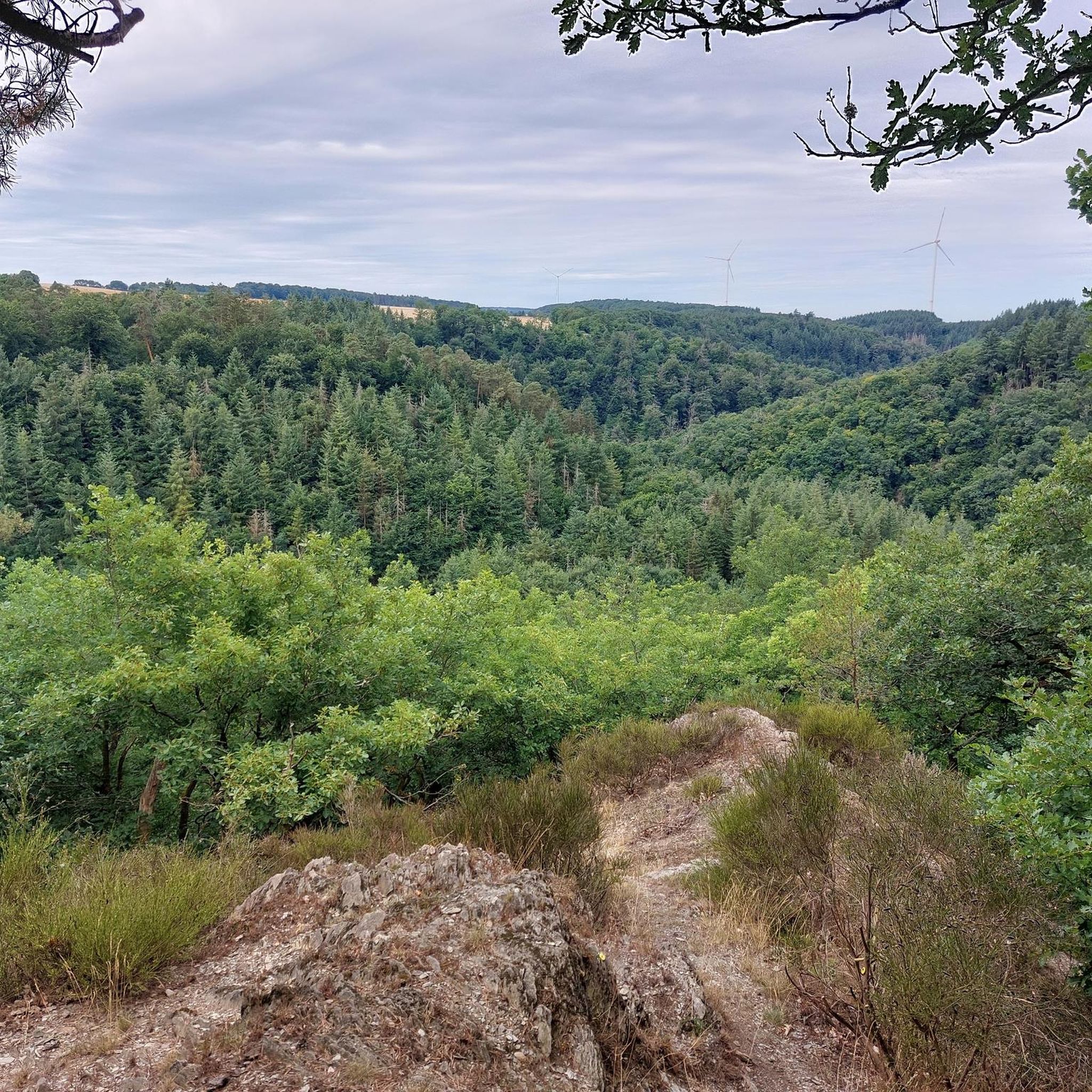
fantastic view of the monastery
0
0


The descent from here is OK, the cross itself is, as Danger Willi says, just a cross. The path from the Schockhütte to the cross is barely recognizable.
0
0

Wind turbine forest....In the background (the yellow one) the sun
0
0

Great view of Treis and the surrounding valleys
1
0
Looks absolutely interesting
0
0

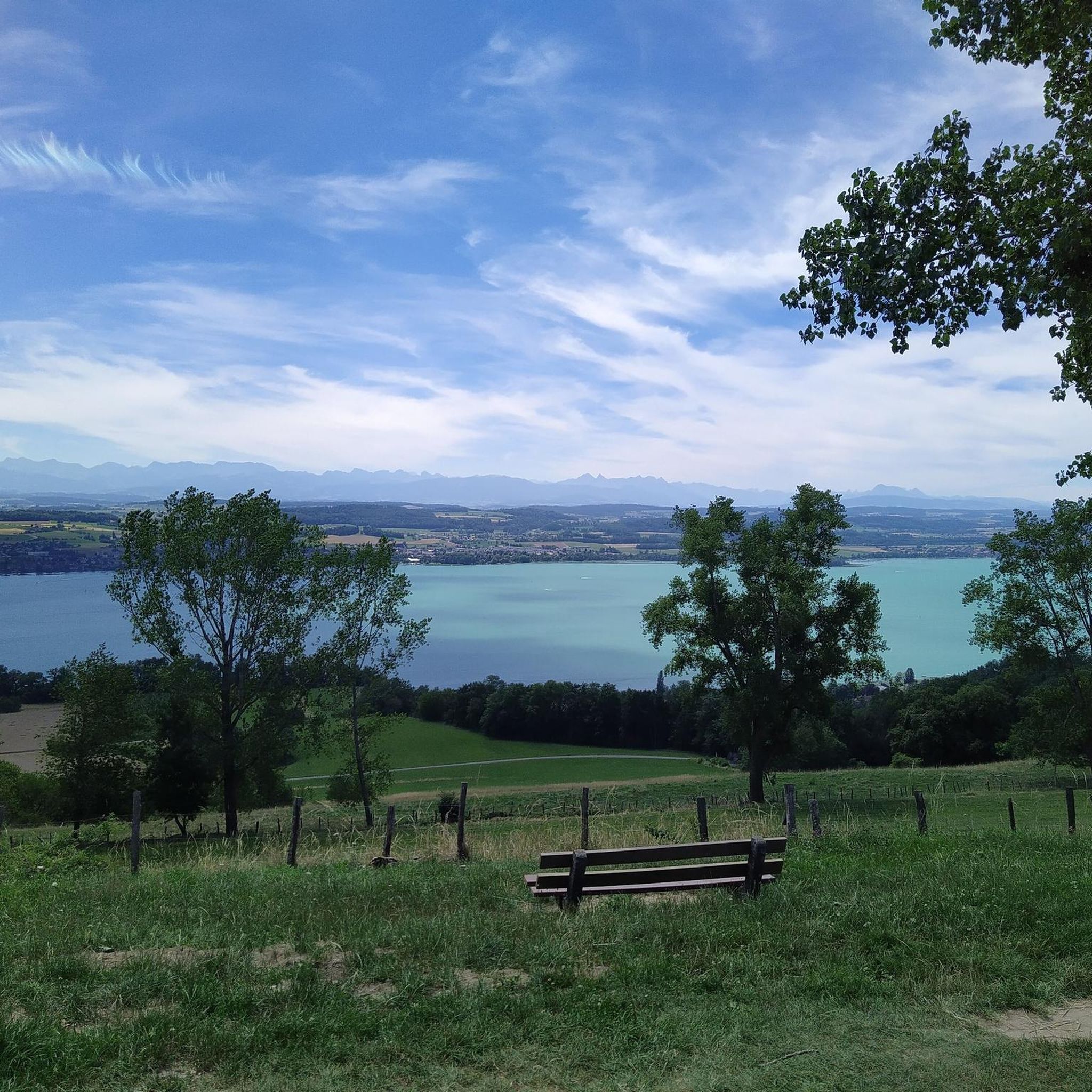
A really great viewing point. It's worth staying a while here.
2
0

Frequently Asked Questions
What kind of elevated points can I explore around Dommershausen?
The region around Dommershausen, situated in the Hunsrück, features scenic hills and valleys rather than towering peaks. You'll find numerous elevated points offering panoramic views, often marked by summit crosses or serving as viewpoints. These include natural rocky outcroppings and historical sites on hills.
Are there any notable viewpoints with unique features?
Yes, the Buchhöller Kopf Viewpoint is a popular spot with a rustic wooden bench on a rocky outcropping, offering a great view of the Brodenbach valley. Another unique elevated point is the Summit Cross Above Kloster Engelport, which features a concrete and stainless steel cross, an observation deck, and a picnic bench with views of the valley at Engelport Abbey.
What is the Treiser Schock Summit Cross and what makes it special?
The Treiser Schock Summit Cross marks the highest point in its immediate area and has historically been a popular destination. While it's primarily a cross, it represents a significant elevated point in the local landscape, often visited by hikers.
Can I find historical sites on elevated points near Dommershausen?
Absolutely. The Goßberg, towering at 483 meters, was formerly a US radar base and housed a nuclear bunker during the Cold War. While the facility is fenced, it offers a glimpse into a unique piece of history on an elevated terrain. Additionally, Eltz Castle is famously perched on a 129-meter high hill in the Elz valley, offering a stunning historical experience.
What kind of hiking trails can I expect around these elevated areas?
The Hunsrück region around Dommershausen boasts an extensive network of hiking trails. These routes often navigate through hilly forested areas and offer picturesque vistas. You'll find paths suitable for various fitness levels, from easy strolls to moderate hikes requiring good fitness and sure-footedness, such as those leading to Eltz Castle or through the Ehrbachklamm Gorge.
Are there any family-friendly hiking options near Dommershausen's elevated points?
Yes, the region offers accessible paths suitable for various fitness levels, making many areas enjoyable for families. While specific 'family-friendly' categories aren't always assigned to individual peaks, the general network of trails around Dommershausen, including those leading to viewpoints, often provides manageable routes. For example, the paved path to the Geierlay Suspension Bridge is easily accessible.
What is the best time of year to visit the mountain peaks and elevated points around Dommershausen?
The region is beautiful year-round, but spring and autumn are particularly recommended for hiking. Spring offers lush greenery and blooming flora, especially in gorges like the Ehrbachklamm. Autumn provides vibrant fall colors across the forested hills. Summer is also pleasant, though some trails might be busier. Winter hiking is possible, but check weather conditions as some paths might be slippery.
What other outdoor activities can I do near the elevated points around Dommershausen?
Beyond hiking to viewpoints and summit crosses, the area is excellent for cycling. You can explore various routes, including road cycling and touring bicycle options. For instance, you can find Road Cycling Routes around Dommershausen or Cycling routes around Dommershausen, which often incorporate scenic elevated sections.
Where can I find impressive natural formations or gorges near Dommershausen?
The Ehrbachklamm Gorge offers a great hiking trail with a special charm, particularly in spring. It features a short, steep ascent rewarded with magnificent views over forests and valleys, complete with beautiful small waterfalls. The region's landscape is characterized by its valleys and ridges, providing many such natural features.
Is the Geierlay Suspension Bridge considered one of the elevated attractions, and how can I access it?
While not a mountain peak, the Geierlay Suspension Bridge is a significant attraction in the hilly landscape near Dommershausen, offering exhilarating views from nearly 100 meters high. It's freely accessible year-round (except during storms) via a 1.8 km paved path. There's a visitor center with parking and a bistro nearby.
Are there any specific mountain hikes that lead to historical castles in the area?
Yes, you can embark on mountain hikes that lead to the iconic Eltz Castle. Routes like the Eltz Castle – Forest Path to Eltz Castle loop from Moselkern offer moderate mountaineering experiences with varying elevations, culminating in the stunning medieval fortress.
What are the parking options for accessing hiking trails to these elevated points?
Many popular trailheads and attractions, such as the Geierlay Suspension Bridge, have dedicated visitor centers with parking facilities. For other trails, parking is often available at designated hiking car parks, like the one between Eveshausen and Dommershausen, which serves as a starting point for routes to elevated viewpoints like the 'Willigipfel'.
Can I bring my dog on the hiking trails around Dommershausen's elevated areas?
Generally, the hiking trails in the Hunsrück region are dog-friendly. However, it's always advisable to keep your dog on a leash, especially in nature reserves, near livestock, or in crowded areas. Specific rules might apply to certain attractions or protected areas, so check local signage.
Most popular routes around Dommershausen
Most popular attractions around Dommershausen

Get inspired with the komoot mobile app


Explore more
See even more amazing summits around Dommershausen with these guides:
