The 7 Most Amazing Peaks around Bad Teinach-Zavelstein
Mountain peaks around Bad Teinach-Zavelstein are characterized by elevated hills and plateaus within the Northern Black Forest, rather than traditional towering summits. The region's elevation ranges from approximately 337 meters to 747 meters above sea level. These elevated points provide expansive views and opportunities for outdoor recreation. The area features a network of hiking trails through wooded landscapes and historical sites.
Best mountain peaks around Bad Teinach-Zavelstein
- The most popular mountain peaks is Höhnle Viewpoint, a viewpoint that offers…
Last updated: June 27, 2026
Geißberg
Highlight • Summit
The Gäurandweg trail also runs through here.
Several marked hiking trails, such as the Schneckenweg (Snail Trail) or Veigelesweg (Veigeles Trail), also pass through here.
Translated by Google •
Tip by

Höhnle Viewpoint
Highlight • Viewpoint
Translated by Google •
Tip by
Sign up now to discover places like this
Get recommendations on the best single tracks, peaks, & plenty of other exciting outdoor places.
Sign up for free
Hinterer Berg
Highlight • Forest
Quelle:mapcarta.com/18154192
Tip by

Bench at Hornberger Höhe (700 m)
Highlight • Viewpoint
Translated by Google •
Tip by

Heimberg Summit
Highlight • Summit
Translated by Google •
Tip by

Sign up for free to discover even more peaks around Bad Teinach-Zavelstein.
Sign up for free
Already have an account?
Start today with a free account
Your next adventure awaits.
Login or Signup
Popular around Bad Teinach-Zavelstein
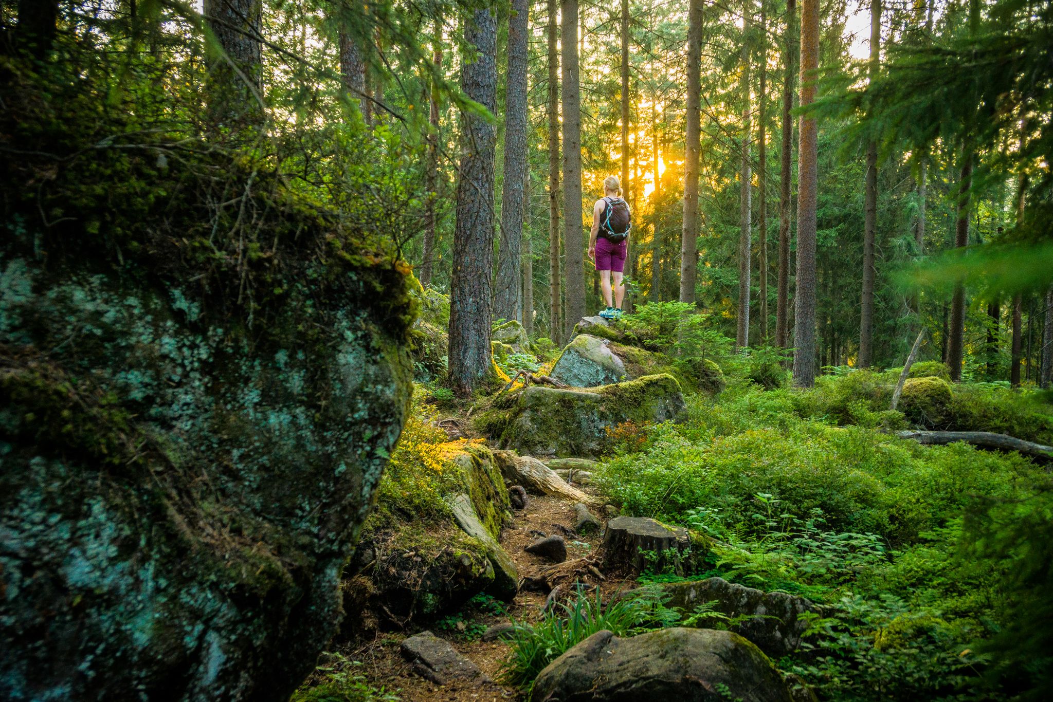
Where the forest whispers and the trails enchant
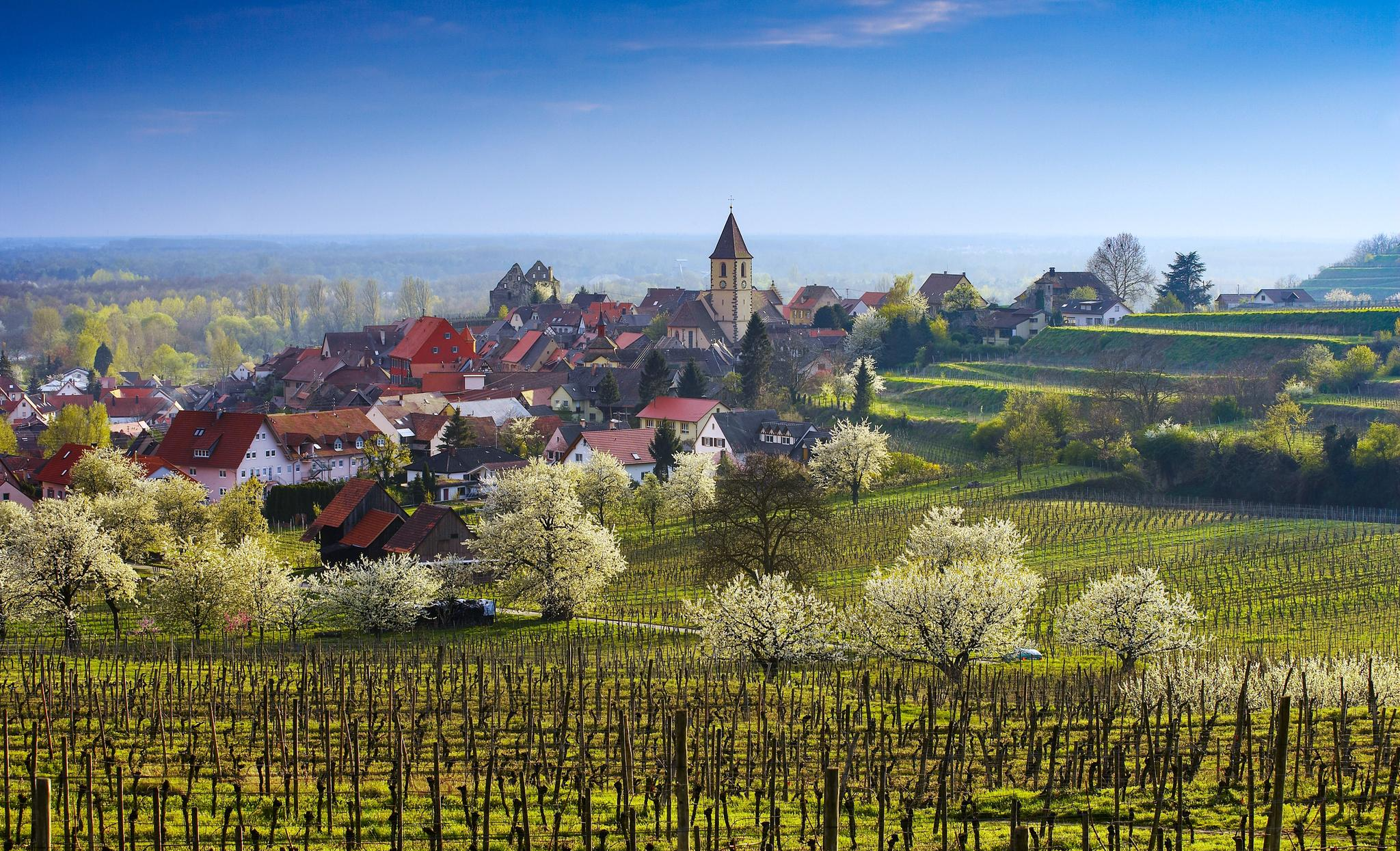
Dreaming in the valley – low-lying spring trails in the Black Forest
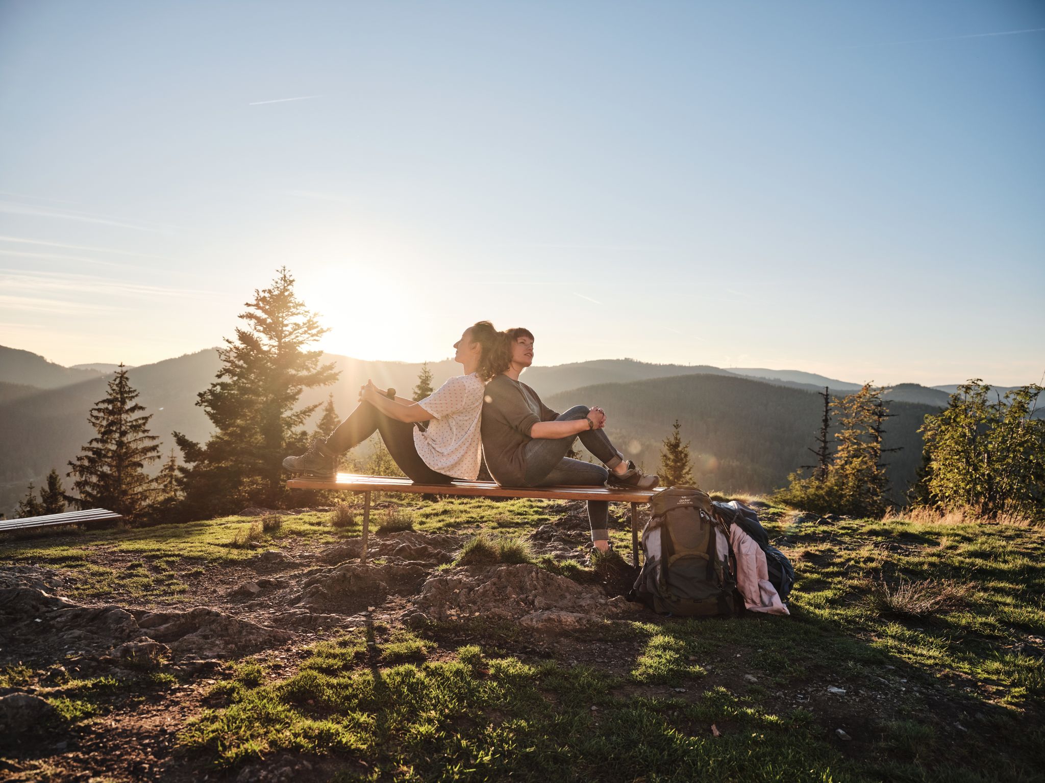
Hiking the Süden – between Black Forest, Lake Constance and Swabian Alb
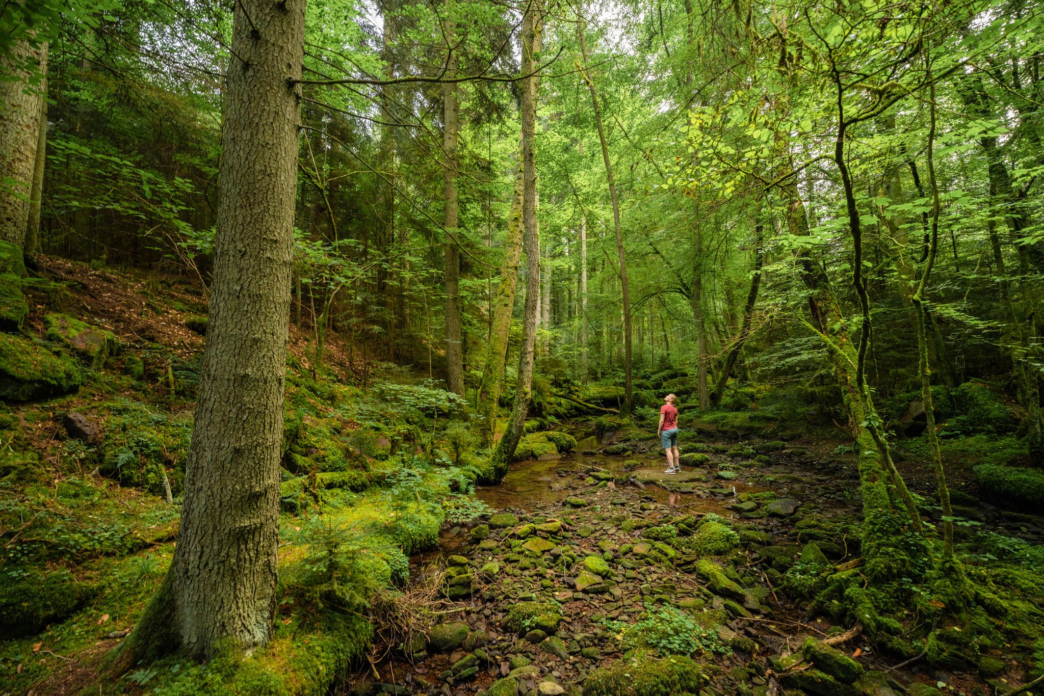
Superb adventures – the best hiking Tours in the Northern Black Forest
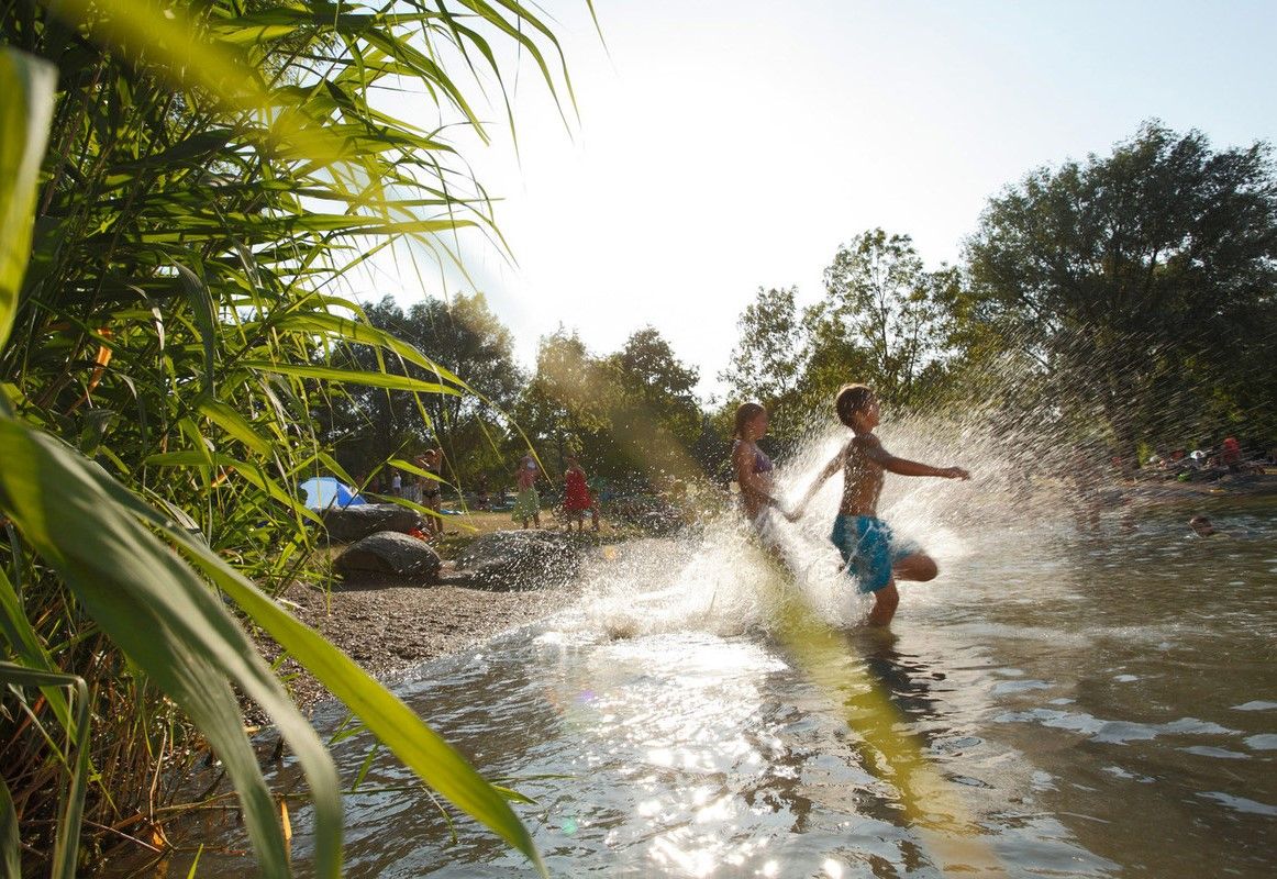
Refreshing summer hikes in Baden Wuerttemberg – bathing fun for the whole family
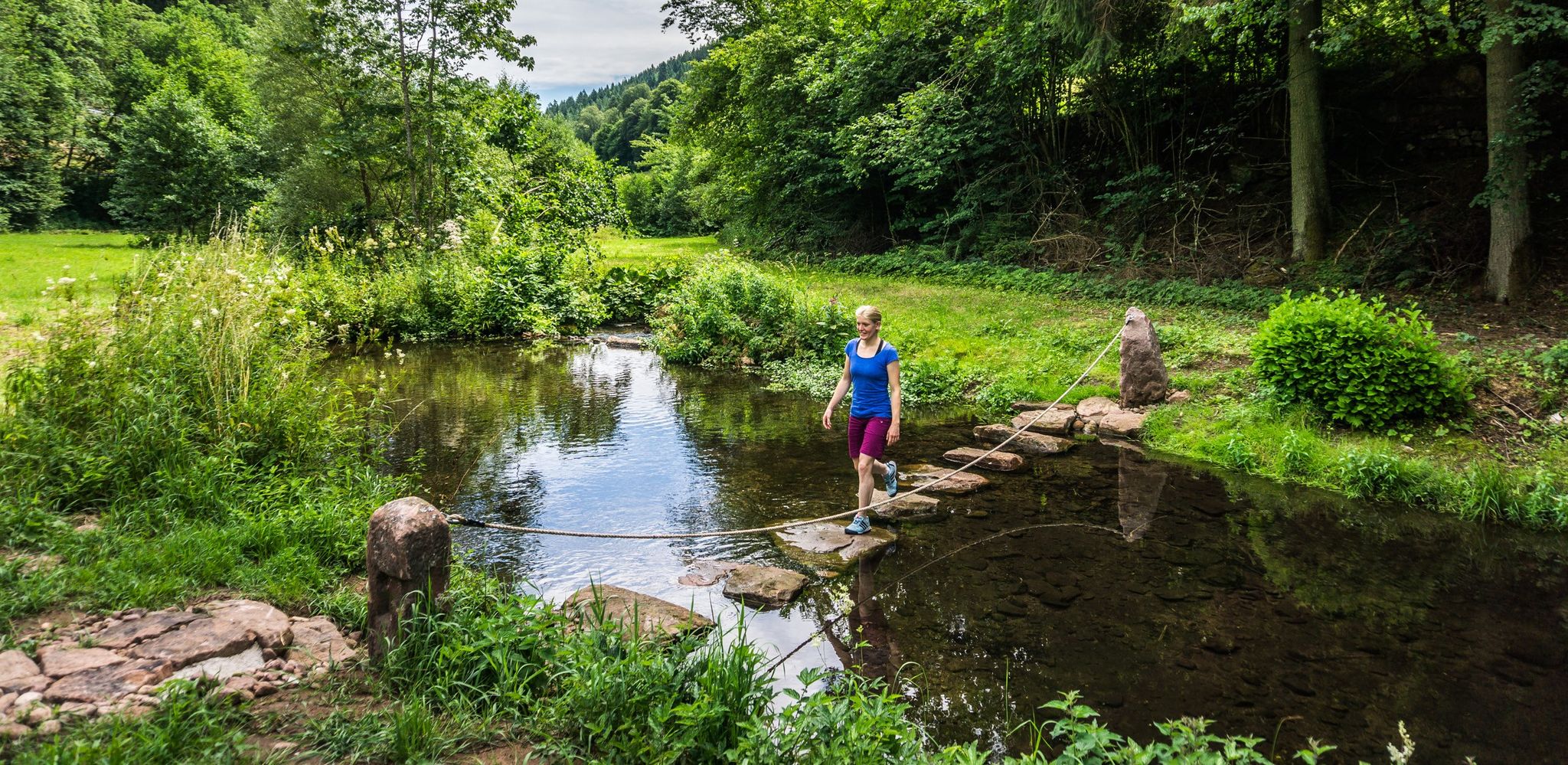
Hiking Worlds Teinachtal – a Black Forest trail paradise
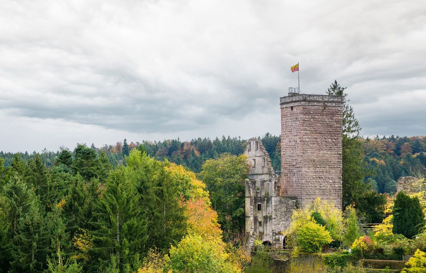
Castles, ghosts and knights – hike in Germany’s Black Forest pleasure trails
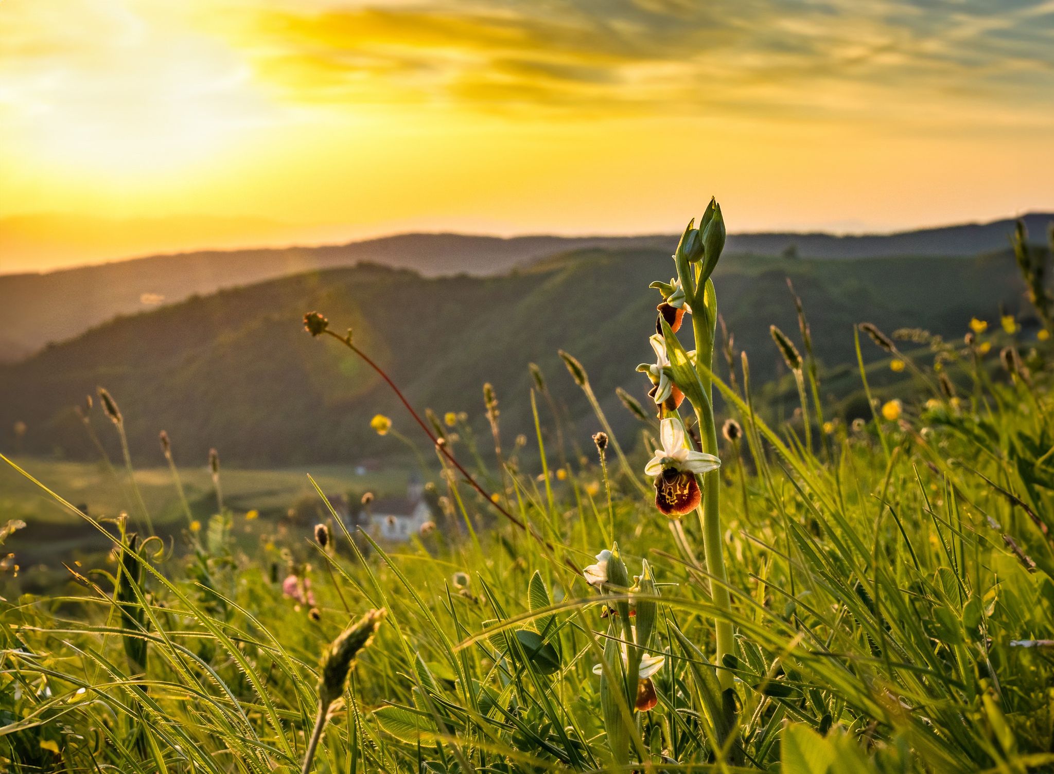
Spring fever on Germany’s Black Forest Pleasure Trails

Ride legendary training passes in the Black Forest
Through gorges on the Black Forest pleasure trails
Other adventures around Bad Teinach-Zavelstein


Tips from the Community

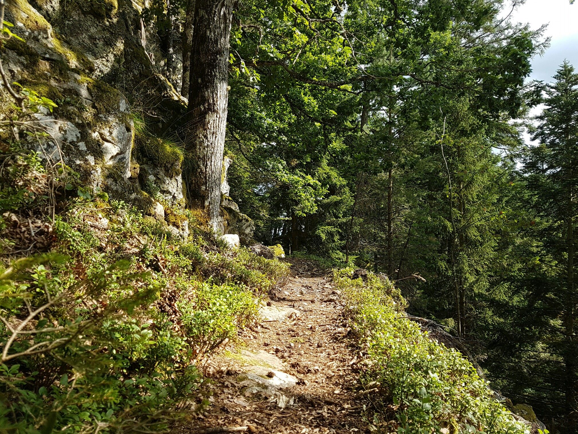
A beautiful nature reserve for hikers and cyclists. The Gäurandweg trail also runs through here. Several marked hiking trails, such as the Schneckenweg (Snail Trail) or Veigelesweg (Veigeles Trail), also pass through here.
9
0

Hinterer Berg is a hill in Gechingen, Calw, Baden-Württemberg and has an elevation of 551 metres. Hinterer Berg is situated nearby to the village Gechingen, as well as near the locality Ostelsheim. Quelle:https://mapcarta.com/18154192
2
0
Hörnle and Geißberg is a nature reserve designated by decree of the Karlsruhe Regional Council on December 30, 1993, with the number 2.176, and a landscape conservation area of the same name with the number 2.35.051. Source: https://de.wikipedia.org/wiki/H%C3%B6rnle_und_Gei%C3%9Fberg To reduce the whole thing to one point is...
0
0

From the Höhnle, at 572 meters the highest elevation in Dachtel, you can enjoy a magnificent view over the Heckengäu region. The view extends over Deufringen and Aidlingen to the Venusberg, as well as to Sindelfingen and the Glemswald forest.
4
0
Barbecue area with seating and shelter, which even has 2 trash cans!
2
0

The Heimberg near Althengstett is the only mountain in the area with a summit cross and it has a wonderful view far into the Black Forest. At the foot of the mountain you can stop off at the Bierkönig.
0
0
The "Höhnle" is the highest point in the municipality of Dachtel - therefore you have a beautiful view from here, especially towards the north-west.
0
0
There is also a free hiking car park directly at Hönle, but it is not visible from the street
11
0
Frequently Asked Questions
What are the most notable elevated points or "peaks" in Bad Teinach-Zavelstein?
While Bad Teinach-Zavelstein features elevated hills and plateaus rather than traditional towering peaks, several spots offer significant height and views. The Höhnle Viewpoint, at 572 meters, provides magnificent views over the Heckengäu region. The historic Zavelstein Castle ruin, situated around 560 meters above sea level, also offers impressive long-distance views. Additionally, the Bench at Hornberger Höhe (700 m) is located at the highest point of Hornberger Höhe, offering excellent panoramic vision.
What kind of views can I expect from the elevated points in the region?
From the elevated points in Bad Teinach-Zavelstein, you can expect expansive vistas of the surrounding Black Forest landscape, including the Teinach Valley and the Heckengäu region. For instance, the Höhnle Viewpoint offers views extending over Deufringen, Aidlingen, to the Venusberg, Sindelfingen, and the Glemswald forest. The Zavelstein Castle ruin provides panoramic views of the Teinach Valley and forested hills. Many hiking trails also lead to designated viewpoints with scenic outlooks.
Are there historical sites among the elevated areas?
Yes, the Zavelstein Castle ruin is a significant historical landmark located on an elevated "mountain nose" at around 560 meters above sea level. This castle, originally built around 1200, offers a rich historical experience and provides a glimpse into the region's past, having withstood sieges and destructions. Exploring its remains combines history with impressive views.
What natural features are prominent around Bad Teinach-Zavelstein's elevated areas?
The region is characterized by picturesque wooded hills, dense forests, and elevated plateaus. A unique natural spectacle is the wild-growing crocus meadows around Zavelstein in early spring (typically March), covering over 50 hectares with thousands of blooming flowers. The Geißberg is also a designated nature reserve, offering tranquil natural beauty for hikers and cyclists.
Are there family-friendly hiking options around the elevated areas?
Yes, many of the elevated areas and trails are suitable for families. The Höhnle Viewpoint is considered family-friendly, featuring a refuge, tables, benches, and a barbecue area. The Bench at Hornberger Höhe (700 m) is also a family-friendly viewpoint. The region's extensive network of marked hiking trails includes easier routes, such as the 7.07 km "Zavelstein Castle Ruins – Zavelstein Historic Center loop," which is a scenic walk suitable for families.
What are some popular hiking trails near these elevated points?
The Teinachtal region boasts over 250 kilometers of marked hiking trails. Popular options include the "Ascent to Zavelstein Castle," an 11.9 km loop trail with an elevation gain of 430 meters, and the easier "Zavelstein Castle Ruins – Zavelstein Historic Center loop." The Geißberg nature reserve is traversed by marked trails like the Schneckenweg and Veigelesweg. You can find more details on these and other routes in the Mountain Hikes around Bad Teinach-Zavelstein guide.
What is the best time of year to visit Bad Teinach-Zavelstein for hiking and views?
The region offers beauty year-round, but early spring is particularly special for the wild-growing crocus meadows around Zavelstein, typically blooming in March. Spring and autumn provide pleasant temperatures for hiking and clear views. Summer is also excellent for outdoor activities, while the higher-lying districts like Schmieh are described as "sunshine islands" amidst forests, offering fresh Black Forest air for recuperation.
What kind of terrain can I expect on hikes around Bad Teinach-Zavelstein?
Hikes around Bad Teinach-Zavelstein feature varied terrain, ranging from dense forests and deep evergreen gorges to open meadows and elevated plateaus. You'll encounter both gentle paths and more challenging ascents, such as the 430-meter elevation gain on the "Ascent to Zavelstein Castle" loop. The region is known for its "Black Forest trail paradise" with diverse landscapes.
Are there options for other outdoor activities besides hiking near the elevated areas?
Yes, beyond hiking, the region offers excellent opportunities for cycling. You can explore various road cycling routes, such as the "Ruins of Zavelstein Castle – Würzbachtal Road Cycling Route loop," or engage in gravel biking with routes like the "Green Hut – Schweizerkopf Hut Viewpoint loop." For more information, refer to the Road Cycling Routes around Bad Teinach-Zavelstein and Gravel biking around Bad Teinach-Zavelstein guides.
How accessible are the elevated points and hiking trails by public transport or car?
While specific public transport details are not provided, the region is generally well-equipped for visitors. Many hiking trails have designated parking areas; for example, there is a free hiking car park directly at the Höhnle Viewpoint. The extensive network of trails and points of interest suggests good accessibility for both private vehicles and potentially local public transport connections to key starting points.
Where can I find tranquil nature experiences in the higher-lying districts?
The higher-lying districts of Bad Teinach-Zavelstein, such as Schmieh (at 630 meters) and Emberg (at 620 meters), offer peaceful escapes. Schmieh is described as a "sunshine island in the midst of thick forests," providing tranquil nature with dense forests and meadows. These areas are recognized as recuperation zones, ideal for relaxation and enjoying the fresh Black Forest air, and serve as excellent starting points for hikes.
What do visitors particularly enjoy about the elevated areas in Bad Teinach-Zavelstein?
Visitors appreciate the diverse landscapes, from dense forests to open meadows, and the numerous opportunities for outdoor activities. The expansive views from points like the Höhnle Viewpoint are highly valued. The presence of facilities like refuges, tables, benches, and barbecue areas at viewpoints enhances the experience. The historical significance of sites like Zavelstein Castle also adds to the appeal, making it a well-rounded destination for nature and culture enthusiasts.
Most popular routes around Bad Teinach-Zavelstein
Most popular attractions around Bad Teinach-Zavelstein

Get inspired with the komoot mobile app


Explore more
See even more amazing summits around Bad Teinach-Zavelstein with these guides:
