The 7 Most Amazing Peaks around Steinbach am Wald
Best mountain peaks around Steinbach am Wald are found within the Franconian Forest, a low mountain range characterized by prominent hills rather than towering alpine peaks. This region, situated at elevations ranging from approximately 584 to 700 meters, offers diverse opportunities for outdoor recreation. The area is known for its forested landscapes and provides numerous trails for hiking and scenic views. Steinbach am Wald itself is located on the Rennsteig trail, offering direct access to extensive paths.
Best mountain peaks…
Last updated: June 27, 2026
Wetzstein Summit and Former Radar Station
Highlight • Summit
Translated by Google •
Tip by

Windheimer Höhe summit
Highlight • Summit
Translated by Google •
Tip by

Sign up now to discover places like this
Get recommendations on the best single tracks, peaks, & plenty of other exciting outdoor places.
Sign up for free
Highest Point in Saalfeld-Rudolstadt District
Highlight • Summit
Translated by Google •
Tip by

Viewpoint 'Pump' on Großer Tierberg
Highlight • Viewpoint
Translated by Google •
Tip by

Wildberg Summit (735 m)
Highlight • Summit
Be careful, …
Translated by Google •
Tip by

Sign up for free to discover even more peaks around Steinbach am Wald.
Sign up for free
Already have an account?
Start today with a free account
Your next adventure awaits.
Login or Signup
Popular around Steinbach am Wald
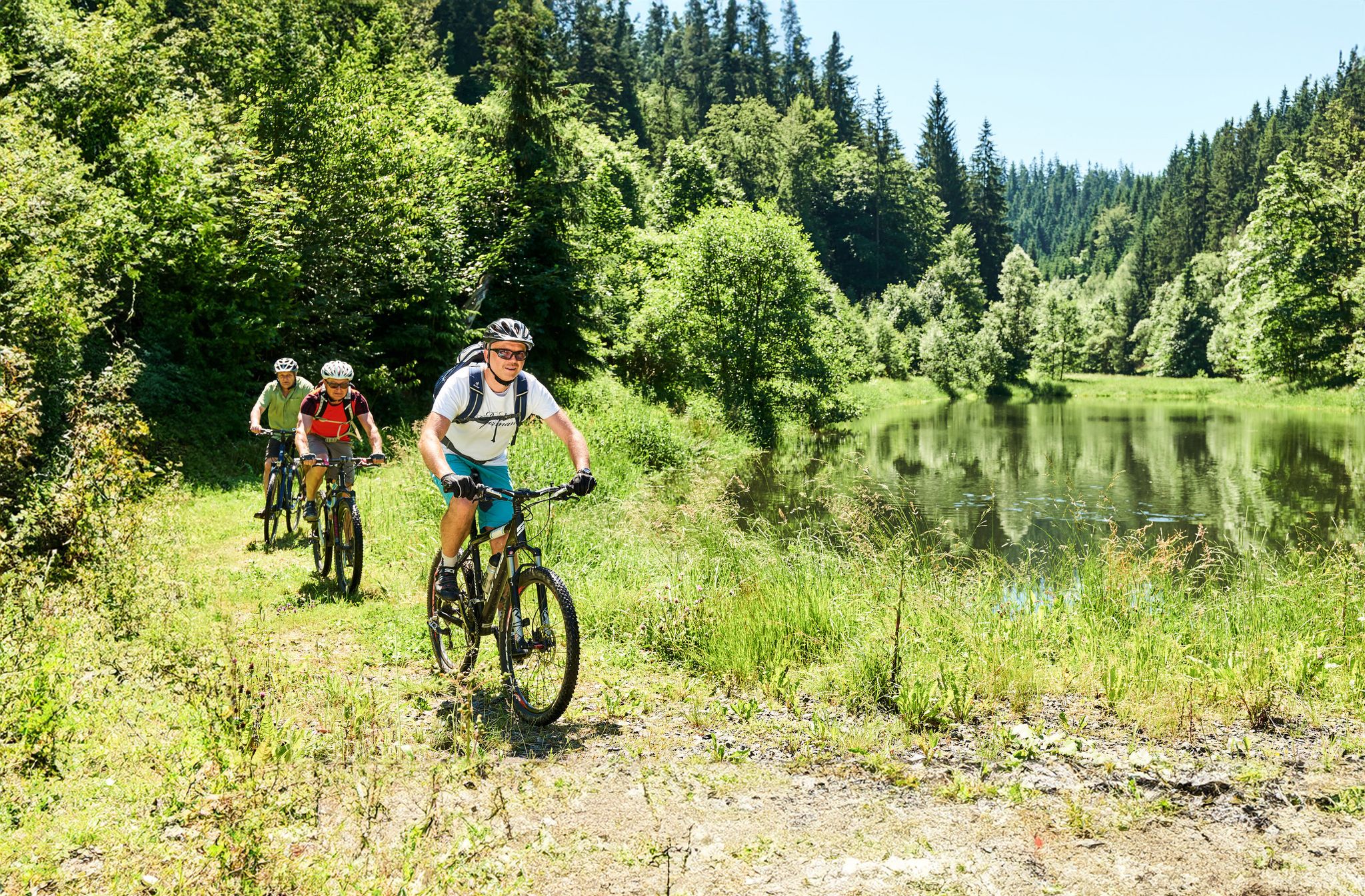
Magical woodland & trails – cycling in Germany’s Franconian Forest
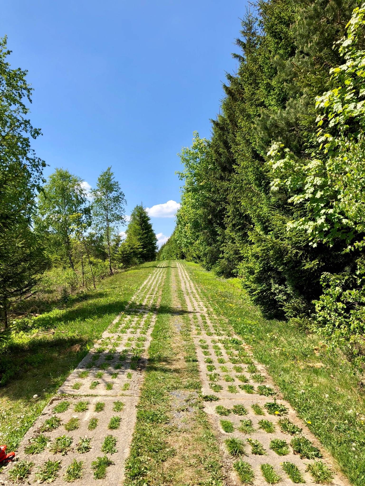
Experience history – day Tours at the Green Belt in Thuringia
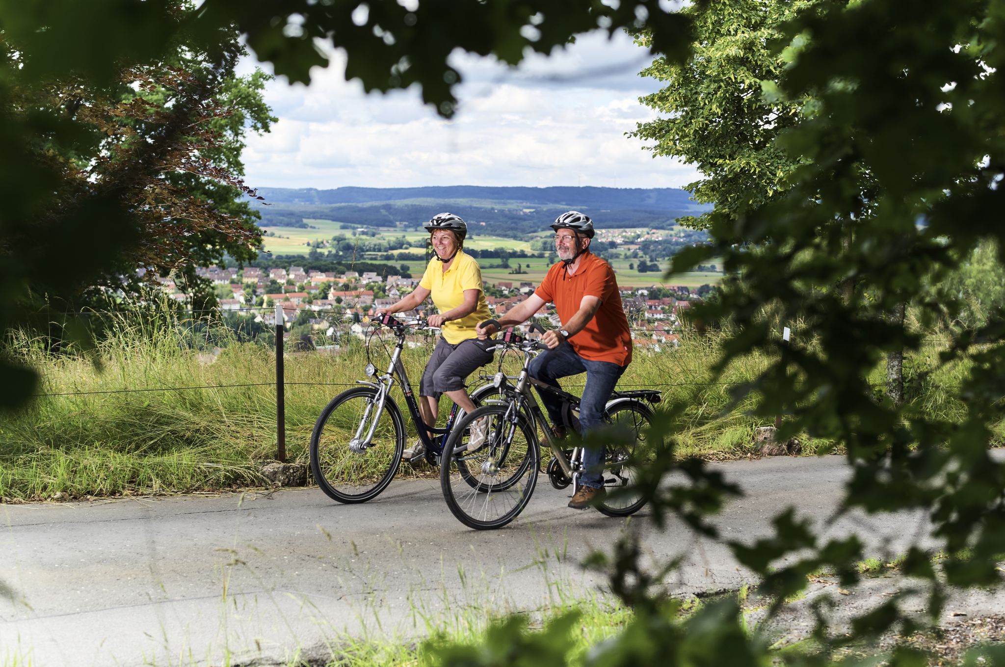
Unsere schönsten Radtouren im Frankenwald

Unsere FrankenwaldSteigla
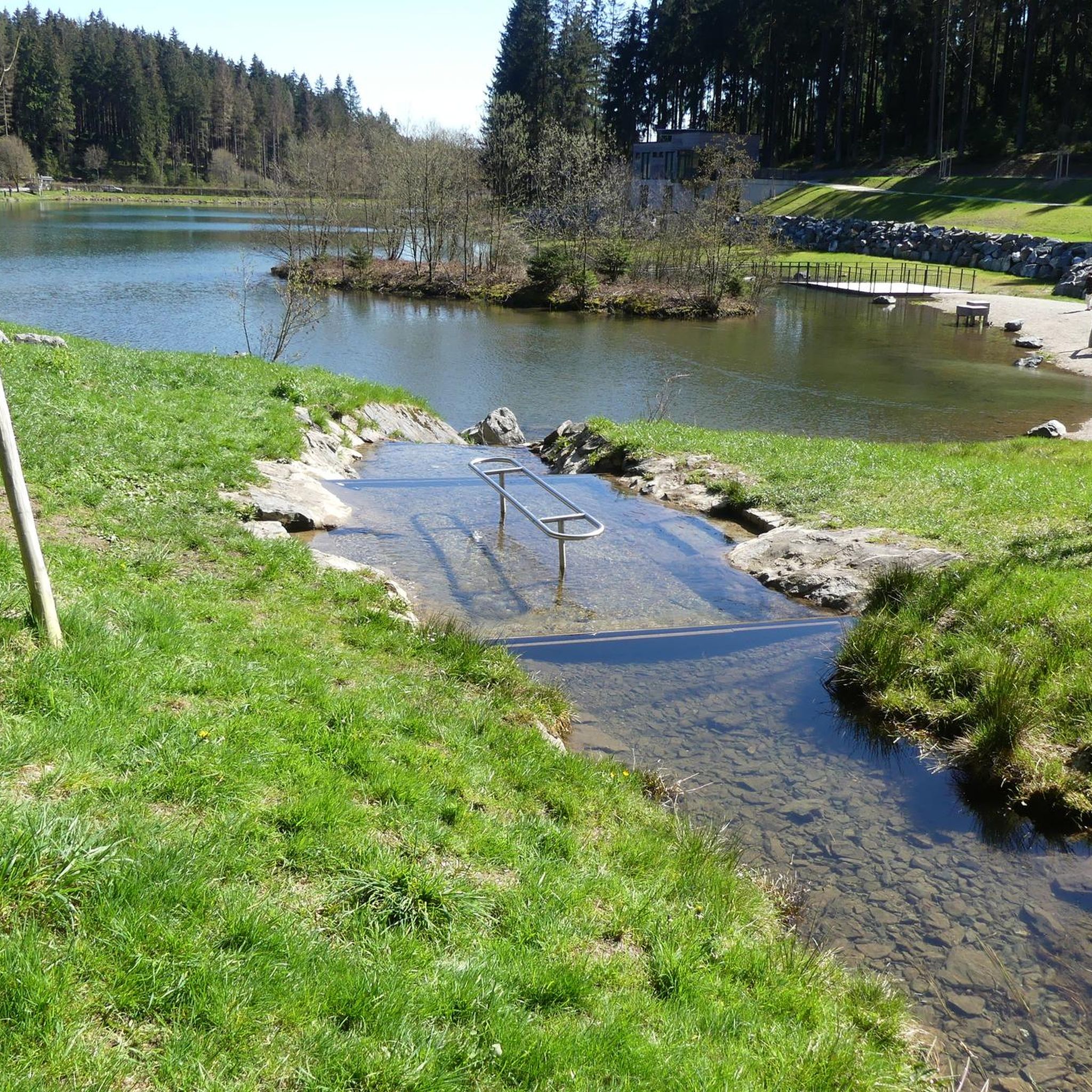
Hiking around Steinbach am Wald
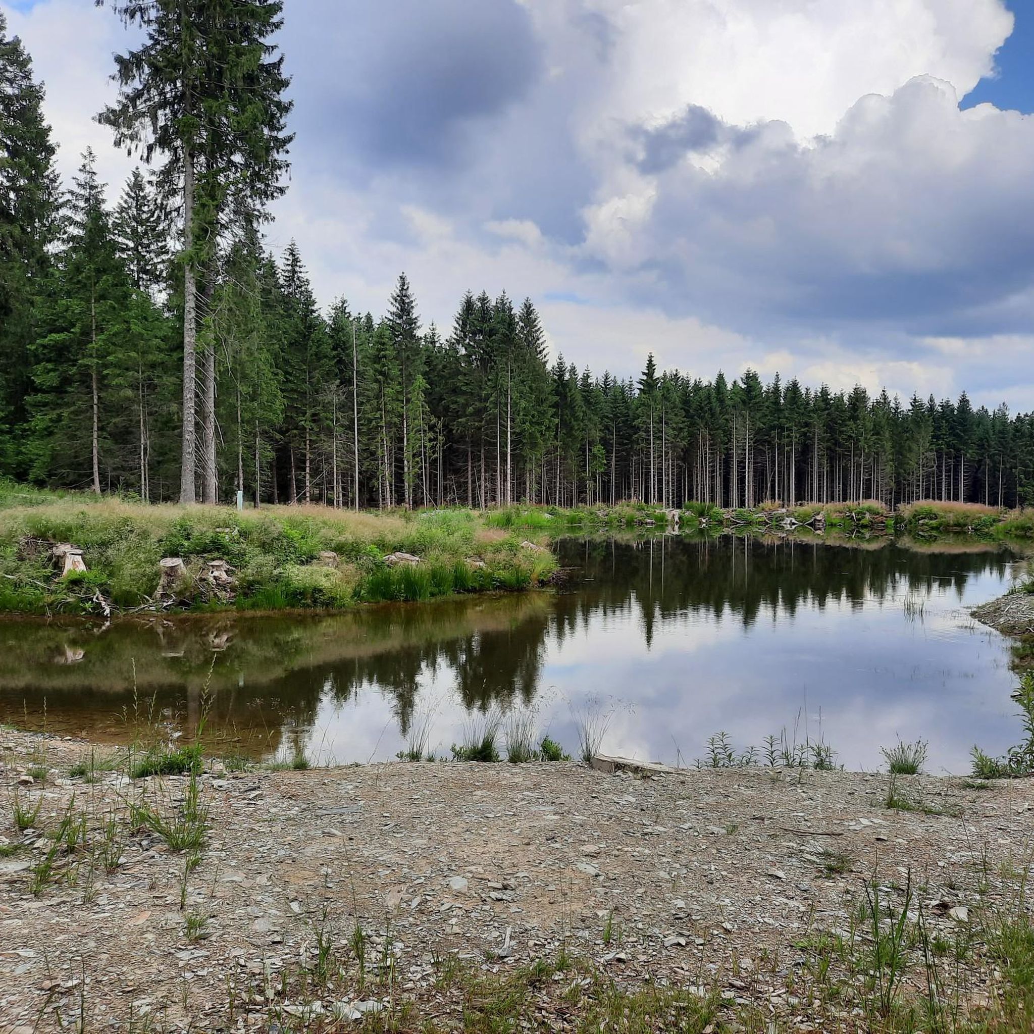
Cycling around Steinbach am Wald
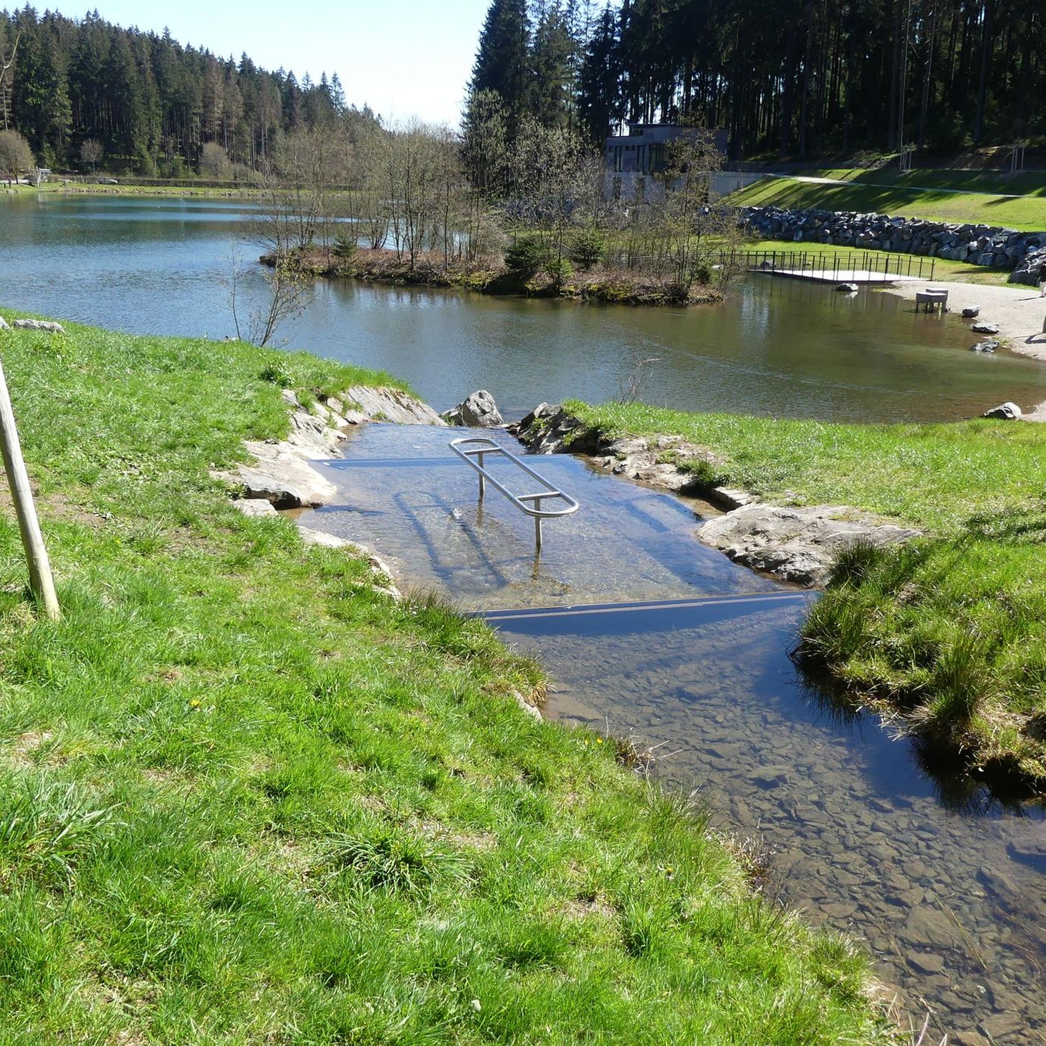
MTB Trails around Steinbach am Wald
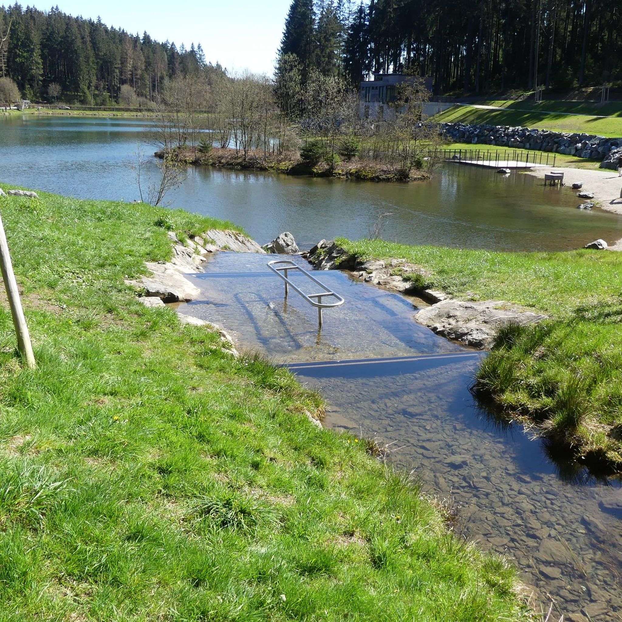
Road Cycling Routes around Steinbach am Wald
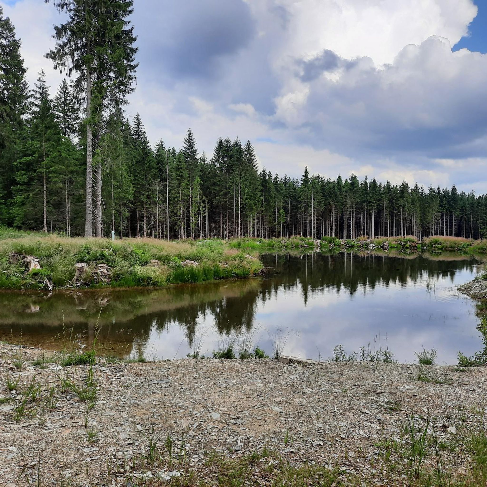
Running Trails around Steinbach am Wald
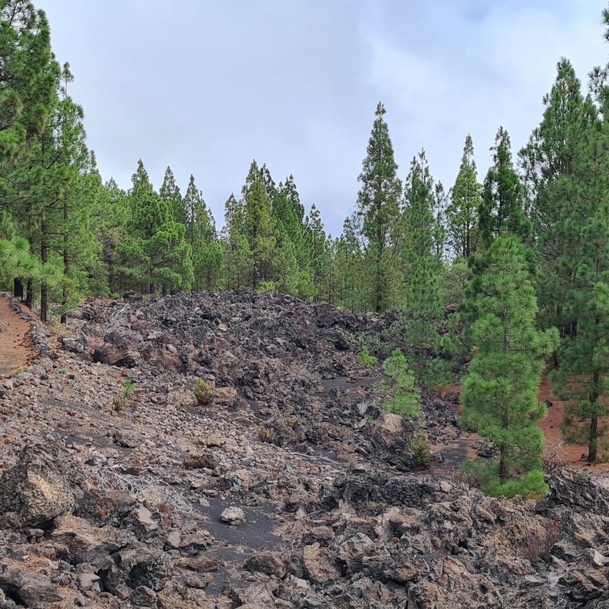
Gravel biking around Steinbach am Wald
Other adventures around Steinbach am Wald


Tips from the Community

Rest stop at the Windheimer Höhe
0
0

Wonderful rest area with a view of Steinach and further to the Schneekopf
0
0

The Kuppen Steig (K 6) leads directly to the viewpoint 👍😉🚵
0
0
Mega climb, then cool trail on the edge, to the Pump viewpoint. 😉👍🚵
0
0

On a clear day the view is magnificent.
0
0

Unfortunately no trees from now on.
0
0

Just enjoy this place.
0
0

So if you have enough provisions with you and are spontaneous, you can consider whether you want to hike a little further 😉
2
0
Frequently Asked Questions
What are some of the most prominent mountain peaks and viewpoints near Steinbach am Wald?
While Steinbach am Wald is in a low mountain range, the region offers several significant elevated areas. The Döbraberg is the highest point in the Franconian Forest, featuring the Prinz-Luitpold-Turm observation tower. The Wetzstein, recognized as the highest mountain in East Thuringia, also offers expansive views and historical interest. Other notable spots include the Viewpoint 'Pump' on Großer Tierberg and the Windheimer Höhe summit.
What kind of views can I expect from the peaks around Steinbach am Wald?
From peaks like the Döbraberg, you can enjoy panoramic views stretching across the Fichtel Mountains, the Thuringian Forest, and even the Erzgebirge on a clear day. The Viewpoint 'Pump' on Großer Tierberg offers a 180-degree distant view over the southern Slate Mountains, the Franconian Forest, and the Fichtel Mountains, including landmarks like Veste CO and the Wetzstein. The Wetzstein itself provides broad views, potentially reaching as far as Leipzig.
Are there any historical sites on the mountain peaks near Steinbach am Wald?
Yes, several peaks have historical significance. The Wetzstein Summit and Former Radar Station features remnants of a former radar station from the Cold War era and the Altvaterturm, a memorial to the expulsion of Sudeten Germans. The Windheimer Höhe summit is home to the Napoleon bush, marking a historical meeting point from 1806.
Are there family-friendly mountain peaks or viewpoints in the area?
Yes, the region offers family-friendly options. The ascent to the summit of Döbraberg is relatively easy, taking about 10 minutes from the village of Döbra, making it accessible for many visitors. The Windheimer Höhe summit is noted as a family-friendly resting place. The Viewpoint 'Pump' on Großer Tierberg is also categorized as family-friendly.
What outdoor activities can I do near the mountain peaks around Steinbach am Wald?
The Franconian Forest, where these peaks are located, is ideal for various outdoor activities. You can find extensive networks for hiking, Nordic walking, and mountain biking. In winter, areas like the Döbraberg transform into popular spots for cross-country skiing. Steinbach am Wald is also directly on the famous Rennsteig trail, offering immediate access to extensive hiking paths. For specific routes, you can explore MTB Trails around Steinbach am Wald, Running Trails around Steinbach am Wald, and Cycling around Steinbach am Wald.
When is the best time to visit the mountain peaks around Steinbach am Wald?
The region is enjoyable year-round. Warmer months are ideal for hiking, Nordic walking, and mountain biking. In winter, the area transforms, offering extensive networks for cross-country skiing, particularly around the Döbraberg. The panoramic views are stunning in any season, weather permitting.
Tell me more about the Wetzstein and its features.
The Wetzstein Summit and Former Radar Station is the highest mountain in East Thuringia, reaching 792.7 meters. It features the Altvaterturm, a reconstructed observation tower offering broad views. The summit also holds historical significance with remnants of a former radar station. The renowned Rennsteig long-distance hiking trail crosses its southern flank, and the area includes nature reserves and the 'Schieferpark Lehesten,' dedicated to historic slate mining.
What makes the Döbraberg a popular destination?
The Döbraberg, at 794.6 meters, is the highest elevation in the Franconian Forest. Its summit hosts the Prinz-Luitpold-Turm, an 18-meter-high observation tower providing expansive panoramic views. It's a popular spot for hiking, Nordic walking, and mountain biking in warmer months, and cross-country skiing in winter. The relatively easy 10-minute ascent to the summit from Döbra village makes it very accessible.
Is there a highest point in the Saalfeld-Rudolstadt district near Steinbach am Wald?
Yes, the Highest Point in Saalfeld-Rudolstadt District is located at 827 meters on the Rennsteig. It offers a bench and table for rest, making it a good spot for a break during a hike.
What do visitors enjoy most about the mountain peaks in this region?
Visitors particularly appreciate the expansive panoramic views from various viewpoints, the historical significance of sites like the Wetzstein and Windheimer Höhe, and the diverse opportunities for outdoor recreation. The well-marked trails for hiking and the accessibility of many peaks, such as the Döbraberg, are also highly valued. The komoot community has shared 66 photos and given 126 upvotes to highlights in the area, indicating strong visitor satisfaction.
Can I find challenging mountain climbs near Steinbach am Wald?
While the region is characterized by low mountain ranges, some routes offer more challenging sections. For example, the ascent from the 'Kaufmannsgeräum' to the Viewpoint 'Pump' on Großer Tierberg is described as steep but rewarding. For more challenging cycling, you can explore routes like 'The Old Mill – Ölschnitzsee loop from Hirschfeld' or 'Hasslach Monastery Bridge – New Cycle Path Near Gifting loop from Steinbach am Wald' in the Cycling around Steinbach am Wald guide.
Are there specific hiking trails that offer good views of the surrounding landscape?
Many trails in the region lead to excellent viewpoints. The Rennsteig long-distance hiking trail, which Steinbach am Wald is directly on, offers numerous scenic sections. The path to the Viewpoint 'Pump' on Großer Tierberg is specifically highlighted for its 180-degree distant views. The Döbraberg also provides extensive views from its observation tower after a short ascent.
Most popular routes around Steinbach am Wald
Most popular attractions around Steinbach am Wald

Get inspired with the komoot mobile app


Explore more
See even more amazing summits around Steinbach am Wald with these guides:
