Top 20 Lakes around Harburg (Schwaben)
Best lakes around Harburg (Schwaben) offer diverse water-based activities in the region. Harburg (Schwaben) is located in Bavaria, Germany, with the Wörnitz River flowing directly through the town. The area provides access to several lakes and water bodies within a short driving distance, catering to various recreational interests. This includes natural bathing lakes, artificial ponds, and larger recreational areas.
Best lakes around Harburg (Schwaben)
- The most popular lakes is Doos Pond, a lake that was formed by a dam and features a historic canal. It is known as a quiet place for relaxation.
- Another must-see spot is Lohweiher (Forest Lake), Wemding, a natural bathing lake with facilities. Visitors can find a spacious lawn, a lake terrace, and play opportunities.
- Visitors also love Prälatenweiher, an artificial pond. This pond originally served for fish farming and is appreciated for its quiet atmosphere and circular path.
- Harburg (Schwaben) is known for natural bathing lakes, artificial ponds, and recreational lakes. These water bodies offer opportunities for swimming, fishing, and walking.
- The lakes around Harburg (Schwaben) are appreciated by the komoot community, with over 280 upvotes and 80 photos shared.
Last updated: September 30, 2026
Lohweiher (Forest Lake), Wemding
Highlight • Lake
Translated by Google •
Tip by

Doos Pond
Highlight • Lake
Translated by Google •
Tip by

Sign up now to discover places like this
Get recommendations on the best single tracks, peaks, & plenty of other exciting outdoor places.
Prälatenweiher
Highlight • Lake
This artificial pond originally served the monks of the Mönchsdeggingen monastery for fish farming.
Translated by Google •
Tip by

Hülbe and Fish Pond
Highlight • Lake
Translated by Google •
Tip by

Gunzenheimer Gump Pond
Highlight • Lake
These are ejecta from the giant, where Jura rock had fallen onto a large clay block and sunk deeply. Because the dry heath in the area previously had no protection and little economic value, the Jura rock was quarried, just like in many other places on the edge of the Ries. Apparently soon after mining began, water began to collect in the surrounding clay layer, making further mining impossible.
What remained was the mysterious Gunzenheimer Gump, a deep, clear lake. The water comes from groundwater sources and is always full to the brim, even in extremely dry times.
Occasionally the excess water runs over the heaths to the west, which leads to a completely different spectrum of plants with lawns, gap sedges and blue rushes as key species. The underwater vegetation consists primarily of pondweed, while in the peripheral areas pond ledges, sedges and occasionally even flesh-colored orchid can be found."
Source: Kaisheim - market and monastery (ed. Werner Schiedermair)
kaisheim.de/de/marktgemeinde-kaisheim/ortsteile/gunzenheim/gunzenheimer-gump
Translated by Google •
Tip by

Sign up for free to discover even more lakes around Harburg (Schwaben).
Already have an account?
Start today with a free account
Your next adventure awaits.
Popular around Harburg (Schwaben)

Augsburger Jakobsweg – Through Bavarian-Swabia

The Romantic Road – To the Pearls of Southern Germany
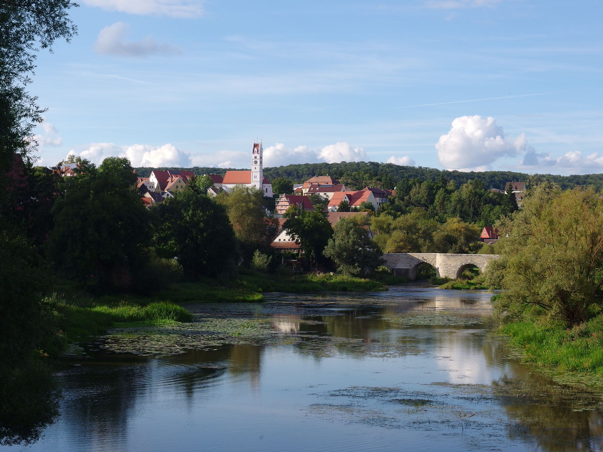
The Romantic Road – 10 fabulous stages
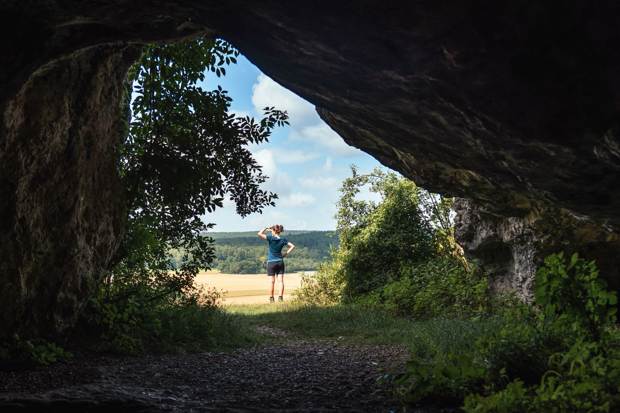
Historic and exciting – hiking in the DONAURIES holiday region
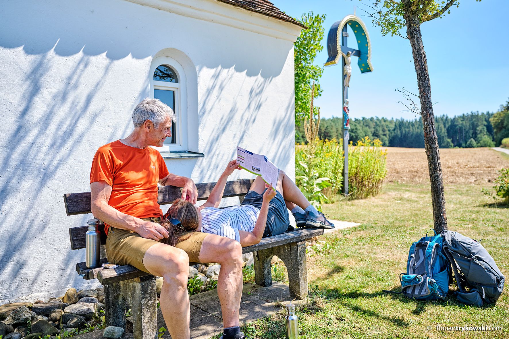
On foot in Bayerisch-Schwaben – five top hiking routes

No time for boredom – family hikes with a fun factor in Bayern
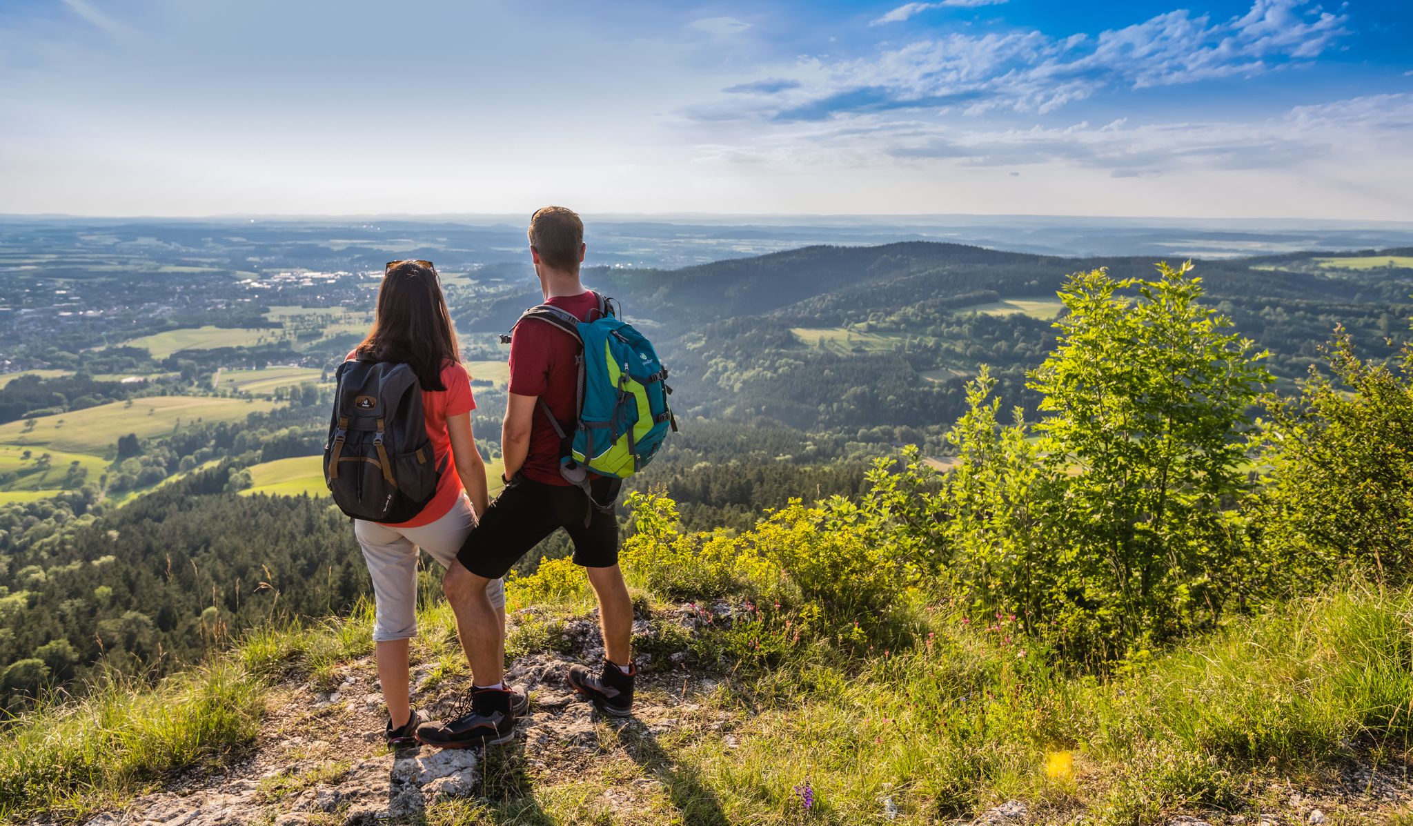
The Swabian Albsteig (HW1) – 16 stages of panoramic views
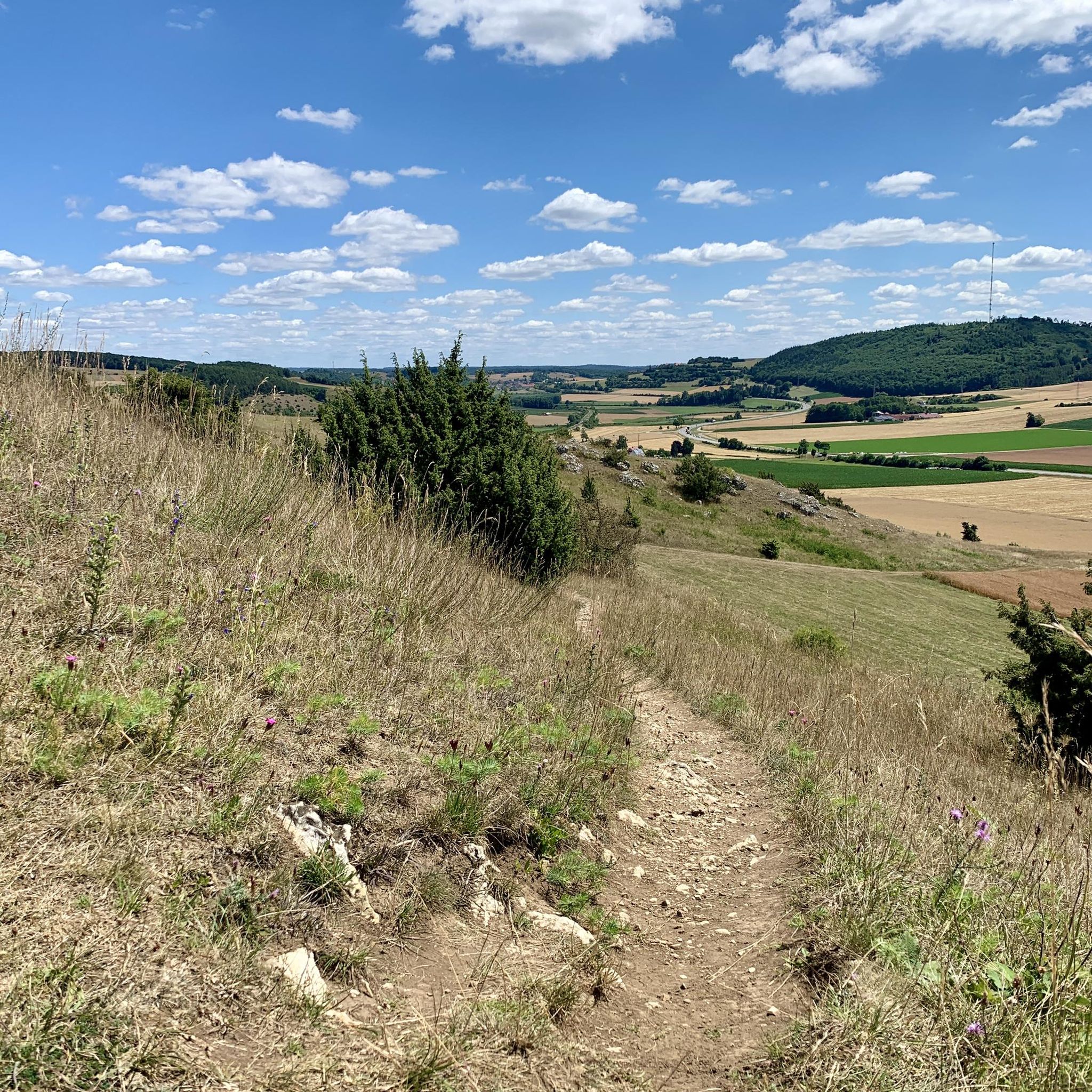
Hiking around Harburg (Schwaben)
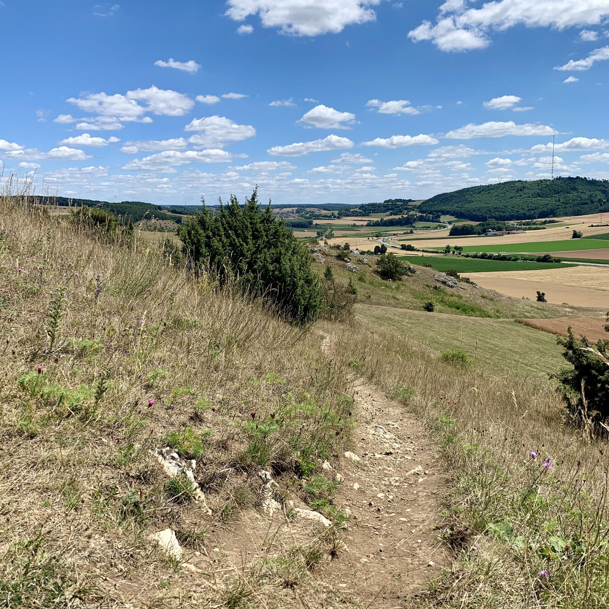
Cycling around Harburg (Schwaben)
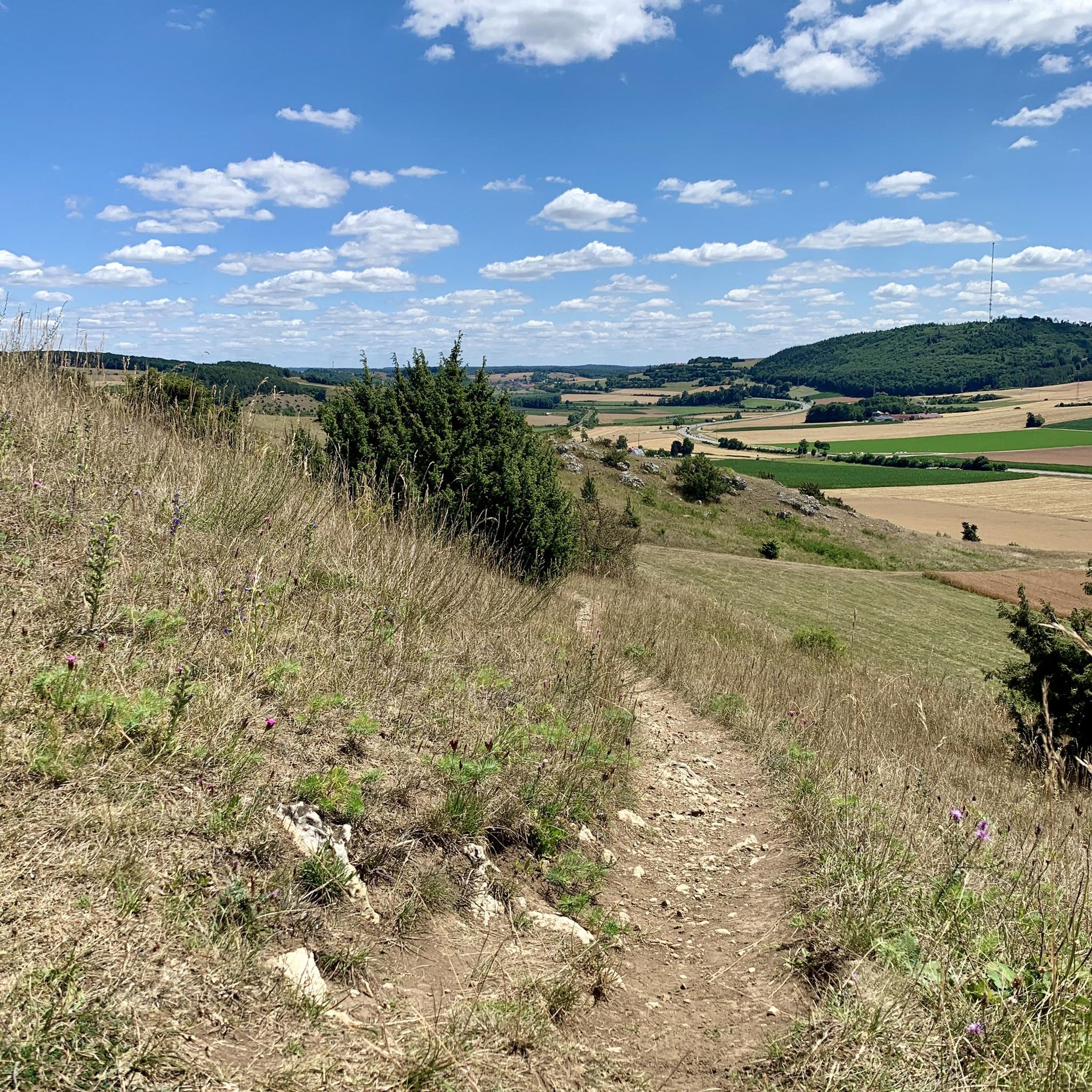
Road Cycling Routes around Harburg (Schwaben)
Other adventures around Harburg (Schwaben)


Tips from the Community

A beautiful lake for swimming, but beavers are also active on its shores.
2
0


A beautiful view of the pond... The roaring water behind the bench drowns out the twittering of the birds. To get there, you have to bridge a canal about a meter wide.
0
0

A Malm block measuring several thousand cubic meters within the colorful rubble masses in the area surrounding the Nördlinger Ries was used to extract raw materials and was partially mined. A small pond formed in the resulting hollow due to the low water permeability of the surrounding rubble rocks. The outcrop is located about 5.5 km southeast of the crater rim. The Gunzenheimer Gump is a small artificial pond (about 8 m deep), but it could only have been created due to the special geological conditions of its surroundings and human activities. The colorful rubble masses here consisted of large white Jurassic limestone blocks (Malm Delta) and clayey and sandy components from the Triassic and older Jurassic periods (Lias, Dogger). While the clayey-sandy deposits were removed, the more weather-resistant lime remained. The lime was used to build the Kaisheim monastery church. Due to the damming nature of the clays of the colorful rubble masses, water could rise under excess pressure (artesian rising spring) during lime mining and form a pond. The special geological significance of the Gunzenheimer Gump was taken into account in 2004. The Gunzenheimer Gump was included in the official geotope cadastre of the Bavarian State Office for the Environment and was thus awarded the "Geotop" seal of quality. [ Source: https://www.geopark-ries.de/geologische-besonderheit/gunzenheimer_gump-21524/ ]
1
0

Unfortunately I was only here at the beginning of October, the landscape around the lake is fantastic.
1
0

Coming from Doosweiher, I was missing an arrow today and got lost at the intersection. The path goes across the street and continues there. The arrows were not clear or there were arrows that were not visible due to overgrowth. 🤣
0
0

Hüle, Hülbe or Hüllweiher is a mostly artificially created small body of water on the water-poor plateaus of the Swabian Alb and the Franconian Jura. The still waters are located within built-up areas, in fields and in the forest. The cases were fed by rainwater and lay on natural waterlogged areas. The waters were of great importance as watering places for livestock or for producing industrial water. The Hülen lost their importance with the connection of the Alb settlements to the water supply and today represent unique cultural and historical evidence of the Swabian Alb and the Franconian Jura.
0
0

"It is probably rare to find a lake with deep, clear water on a slope surrounded by poor and dry grassland. There are many legends and legends surrounding the Gunzenheimer Gump. How does the water get to a high point within a very dry area? The Both opposites can only be explained with the events of the giant catastrophe. These are ejecta from the giant, where Jura rock had fallen onto a large clay block and sunk deeply. Because the dry heath in the area previously had no protection and little economic value, the Jura rock was quarried, just like in many other places on the edge of the Ries. Apparently soon after mining began, water began to collect in the surrounding clay layer, making further mining impossible. What remained was the mysterious Gunzenheimer Gump, a deep, clear lake. The water comes from groundwater sources and is always full to the brim, even in extremely dry times. Occasionally the excess water runs over the heaths to the west, which leads to a completely different spectrum of plants with lawns, gap sedges and blue rushes as key species. The underwater vegetation consists primarily of pondweed, while in the peripheral areas pond ledges, sedges and occasionally even flesh-colored orchid can be found." Source: Kaisheim - market and monastery (ed. Werner Schiedermair) https://www.kaisheim.de/de/marktgemeinde-kaisheim/ortsteile/gunzenheim/gunzenheimer-gump
1
0
Frequently Asked Questions
What types of water activities can I enjoy near Harburg (Schwaben)?
The Wörnitz River, flowing directly through Harburg (Schwaben), is ideal for canoeing, Stand Up Paddling (SUP), and fishing. Nearby lakes like Lohweiher (Forest Lake), Wemding, Tapfheimer Seenplatte, Auwaldsee, and Igelsbachsee offer swimming, boating, and additional fishing opportunities.
Are there family-friendly lakes around Harburg (Schwaben)?
Yes, several lakes are great for families. The Tapfheimer Seenplatte, particularly Burgwörthsee, is an official EU bathing water with sunbathing lawns and children's play areas. Lohweiher (Forest Lake), Wemding also features a spacious lawn, lake terrace, and play opportunities. Auwaldsee offers shallow entry points, playgrounds, and barbecue areas, while Igelsbachsee has playgrounds and pedal boat rentals.
Where can I go swimming near Harburg (Schwaben)?
For swimming, the Burgwörthsee within the Tapfheimer Seenplatte is an official EU bathing water with excellent quality. Auwaldsee is another great option with designated swimming zones and shallow, pebbly entry points. Lohweiher (Forest Lake), Wemding is a natural bathing lake with facilities, and Igelsbachsee features a surfing and bathing beach.
Are there any quiet or less-known lakes for relaxation?
For a tranquil experience, Doos Pond is known as a quiet place for relaxation, especially during the week. Prälatenweiher, an artificial pond originally for fish farming, is also appreciated for its quiet atmosphere and circular path.
What facilities are available at the lakes around Harburg (Schwaben)?
Facilities vary by location. The Tapfheimer Seenplatte offers sunbathing lawns, children's play areas, parking, and public toilets. Auwaldsee provides changing rooms, showers, large sunbathing areas, volleyball courts, barbecue areas, and a bistro. Lohweiher (Forest Lake), Wemding has a lake terrace and play opportunities. Igelsbachsee includes a kiosk, sanitary facilities, and pedal boat rentals.
What hiking opportunities are available near the lakes?
You can find various hiking trails near the lakes. Igelsbachsee offers well-maintained hiking trails, including a barrier-free section of about 6.5 kilometers. Prälatenweiher has an idyllic circular path. For more extensive options, explore the hiking trails around Harburg (Schwaben), which include routes like the 'Stone Bridge, Harburg – Harburg Castle loop'.
Are there cycling routes near the lakes?
Yes, Igelsbachsee features well-maintained cycling trails. The Wörnitz River also offers scenic routes along its banks. For gravel biking enthusiasts, you can find various routes in the wider region, such as those listed in the Gravel biking around Harburg (Schwaben) guide, including routes like 'Dillingen town gate – Danube Riverside Path loop'.
What is the best time to visit the lakes around Harburg (Schwaben)?
The lakes are particularly popular during warmer months for swimming and water sports. Summer is ideal for visiting Auwaldsee for camping and water activities. However, places like Prälatenweiher are recommended in every season for their scenic beauty and peaceful atmosphere.
Are there any lakes with historical significance?
Yes, Doos Pond was formed by a dam and is connected to a historic canal built in 1537 to supply water to Wemding's mills. Prälatenweiher is an artificial pond that originally served the monks of the Mönchsdeggingen monastery for fish farming.
Can I find places to eat or drink near the lakes?
Some lakes offer dining options. Auwaldsee has a bistro, and Lohweiher (Forest Lake), Wemding has a beer garden. Igelsbachsee also features a kiosk. For more options, the town of Harburg (Schwaben) itself offers various cafes and pubs.
Are there any accessible trails or areas around the lakes?
Igelsbachsee, part of the Franconian Lake District, offers a barrier-free section of about 6.5 kilometers along its well-maintained trails, making it accessible for many visitors.
What do visitors enjoy most about the lakes near Harburg (Schwaben)?
Visitors frequently praise the tranquil settings and opportunities for relaxation. Many appreciate the clean bathing waters, family-friendly amenities, and the diverse range of activities from canoeing on the Wörnitz River to hiking around the scenic lakes. The natural beauty and quiet atmosphere of spots like Doos Pond are also highly valued.
Most popular routes around Harburg (Schwaben)
Most popular attractions around Harburg (Schwaben)

Get inspired with the komoot mobile app


Explore more
Still not found your perfect lake around Harburg (Schwaben)? Check out the guides of these regions to see even more beautiful places.
