The 10 Most Amazing Peaks around Jettingen
Best mountain peaks around Jettingen are characterized by rolling hills, green meadows, and dense forests, situated between the foothills of the Black Forest and the Swabian Alb. The area features elevated natural features and scenic viewpoints rather than prominent mountain peaks in the traditional sense. The highest elevation within Jettingen is recorded at 585 meters. These locations offer diverse landscapes and recreational opportunities for exploration.
Best mountain peaks around Jettingen
- The most popular mountain peaks is Schönbuch Tower, a…
Last updated: May 14, 2026
Schönbuch Tower
Highlight • Monument
Translated by Google •
Tip by

Ziegel/Steinberg on the 7 Mountains Trail
Highlight • Summit
Translated by Google •
Tip by

Sign up now to discover places like this
Get recommendations on the best single tracks, peaks, & plenty of other exciting outdoor places.
Sign up for free
Höhnle Viewpoint
Highlight • Viewpoint
Translated by Google •
Tip by
Wolfsberg (526 m)
Highlight • Summit
Translated by Google •
Tip by
Southern Rohraukopf
Highlight • Forest
Source: mapcarta.com/35838726
Translated by Google •
Tip by

Sign up for free to discover even more peaks around Jettingen.
Sign up for free
Already have an account?
Start today with a free account
Your next adventure awaits.
Login or Signup
Tips from the Community

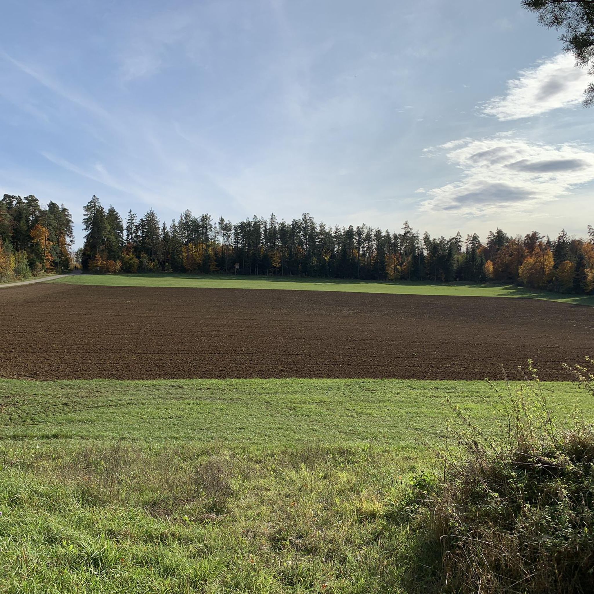
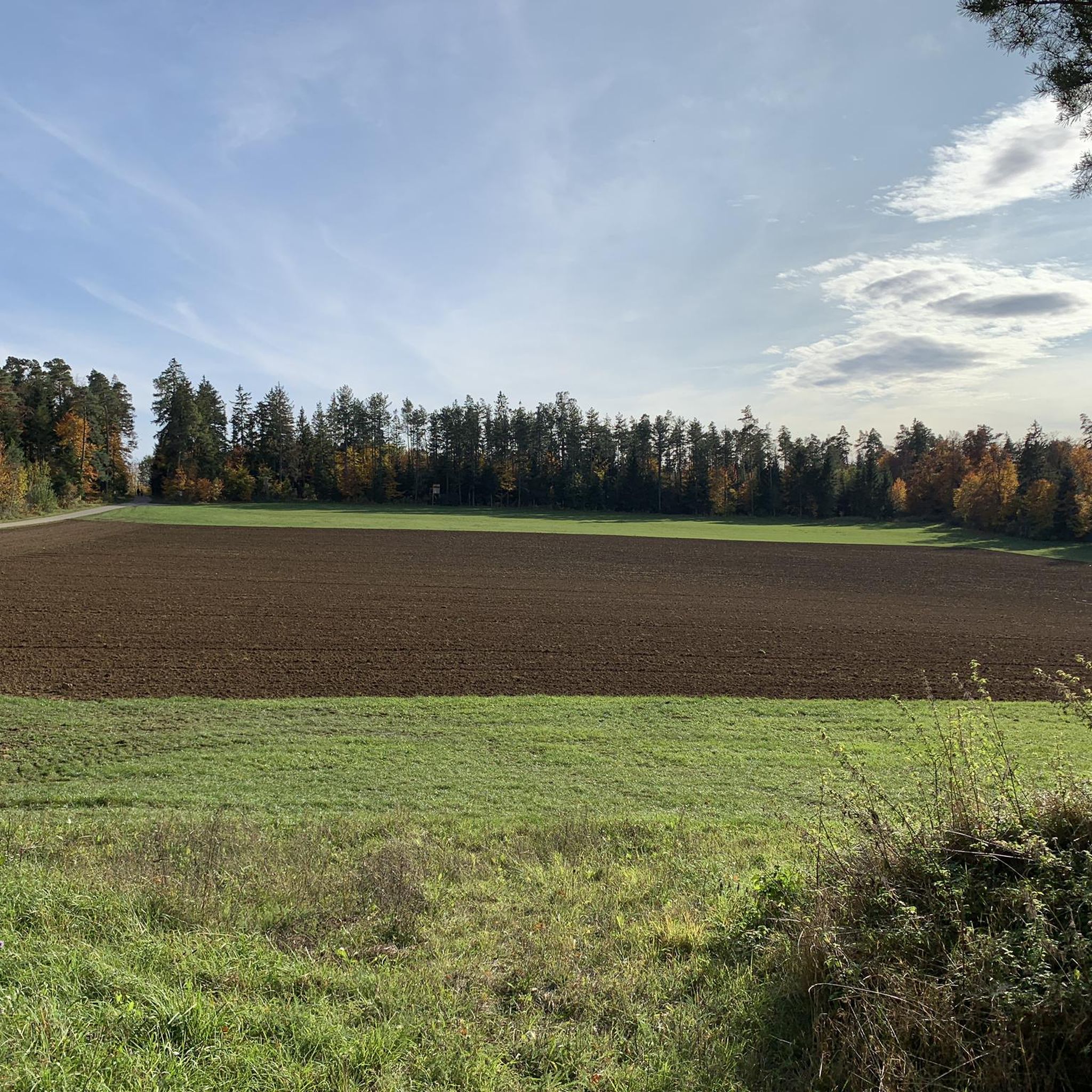
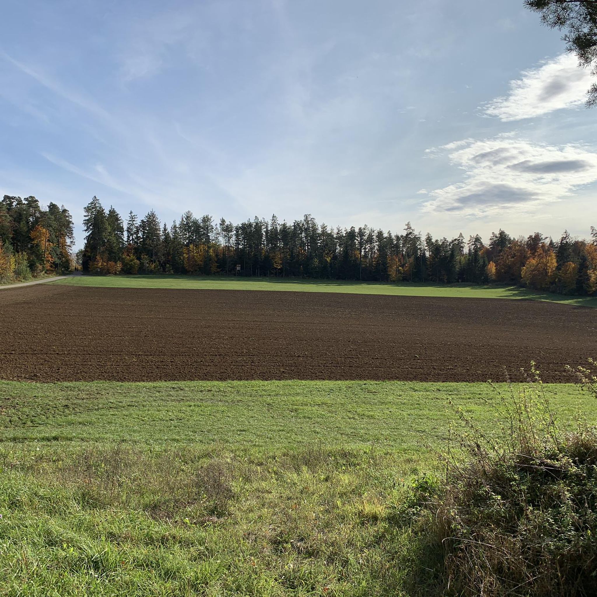
Südlicher Rohraukopf is a hill in Nufringen, Böblingen, Baden-Württemberg and has an elevation of 547 meters. Südlicher Rohraukopf is situated nearby to the village of Nufringen, as well as near Gärtringen. Source: https://mapcarta.com/35838726
0
0

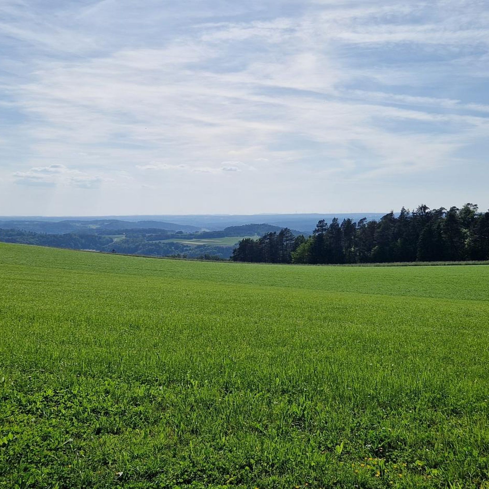
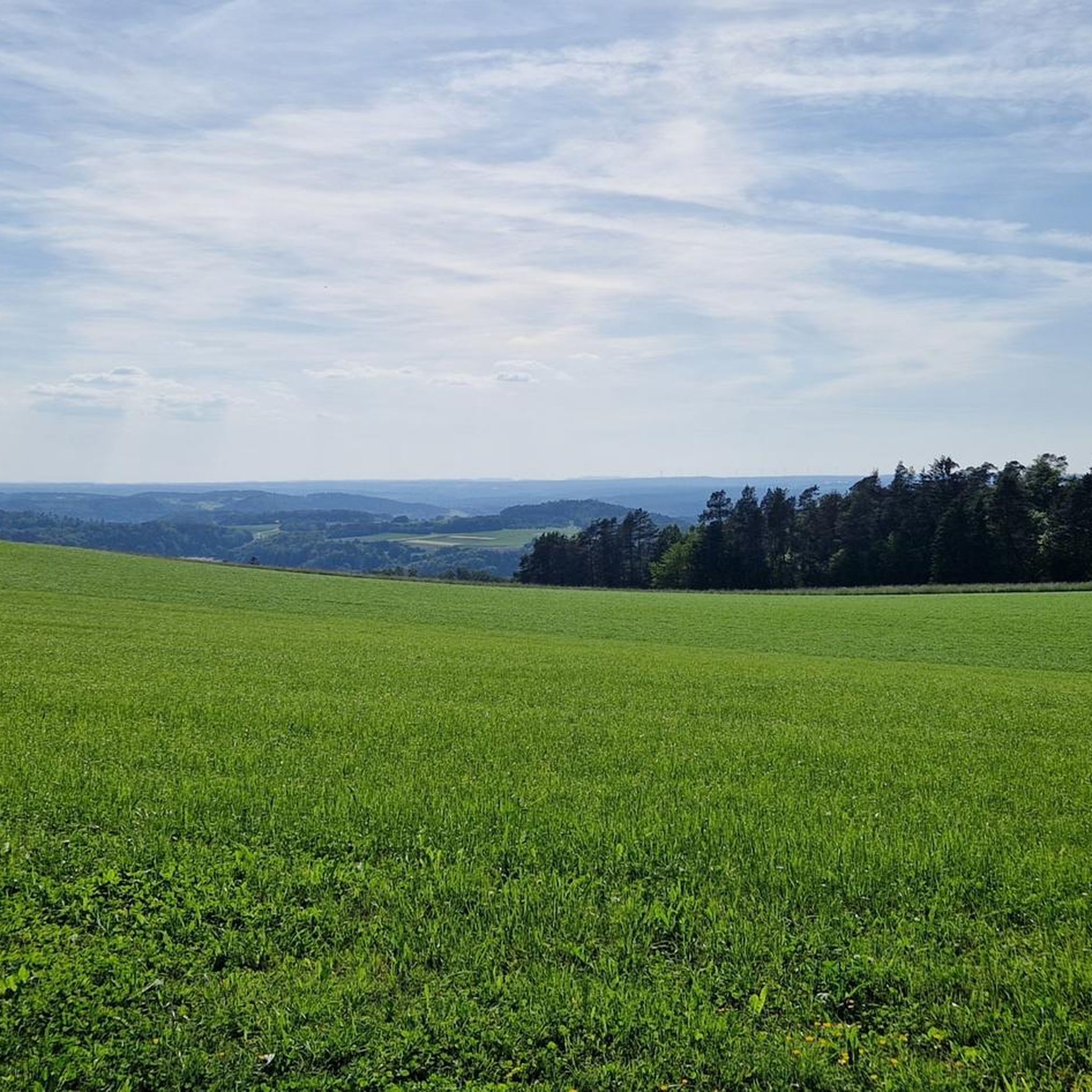
From the Höhnle, at 572 meters the highest elevation in Dachtel, you can enjoy a magnificent view over the Heckengäu region. The view extends over Deufringen and Aidlingen to the Venusberg, as well as to Sindelfingen and the Glemswald forest.
4
0
Barbecue area with seating and shelter, which even has 2 trash cans!
2
0
The "Höhnle" is the highest point in the municipality of Dachtel - therefore you have a beautiful view from here, especially towards the north-west.
0
0

There is also a free hiking car park directly at Hönle, but it is not visible from the street
11
0

Great place to take a break with a hut, barbecue area and a view from the forest sofa into the Heckengäu
0
0

Very nice barbecue area and great viewpoint
1
0

One of the seven mountains on the 7-mountain circuit in Nagold
3
0
Frequently Asked Questions
What are the most popular elevated features and viewpoints around Jettingen?
Among the most popular spots are the Schönbuch Tower, an extraordinary observation tower offering wide views, and the Höhnle Viewpoint, which provides magnificent views over the Heckengäu region from Dachtel's highest elevation. Visitors also appreciate the Ziegel/Steinberg on the 7 Mountains Trail for its natural monument status and detailed route information.
Are there family-friendly elevated features or viewpoints near Jettingen?
Yes, the region offers several family-friendly options. The Höhnle Viewpoint is noted as family-friendly, featuring a refuge, tables, benches, and even a barbecue area. Additionally, the hiking route to Teufelskanzel (Devil's Pulpit) is considered suitable for families with children, offering panoramic views and interesting spots to rest.
What kind of views can I expect from the elevated points around Jettingen?
From various elevated points, you can expect diverse and expansive views. For instance, the Schönbuch Tower provides a wide panorama of the surrounding area. From the Höhnle Viewpoint, you can see over the Heckengäu region, extending towards Deufringen, Aidlingen, Venusberg, Sindelfingen, and the Glemswald forest. Scenic heights like Eisberg and Kühlenberg offer views stretching from the northern Black Forest to the Swabian Jura.
What hiking opportunities are available near Jettingen's elevated features?
Jettingen and its surroundings offer a variety of attractive hiking tours for all levels. You can explore well-signposted trails in the 'Schwanner Warte' Nature Reserve, or enjoy pleasant walks through the romantic Nagold Valley, passing small waterfalls and old mills. For more options, check out the dedicated guide for Hiking around Jettingen, which includes routes like the 'View of the Swabian Alb – Sindlinger Hof Petting Zoo loop'.
Are there any cycling routes that incorporate the elevated areas around Jettingen?
Yes, there are several cycling routes that allow you to experience the region's elevated features and scenic views. You can find various options in the Cycling around Jettingen guide, including routes like the 'Nagold–Jettingen Cycle Path – Nagold River Path loop' or the 'View of the Swabian Alb – View of the Gäu Near Jettingen loop'. For road cycling enthusiasts, the Road Cycling Routes around Jettingen guide offers options such as the 'View of the Gäu – View of Herrenberg loop'.
What natural monuments or unique natural features can be found?
The region is home to several interesting natural features. The Ziegel/Steinberg on the 7 Mountains Trail is recognized as a natural monument. The Nagold Valley, while not a peak, is a romantic area featuring wooded mountain slopes, small waterfalls, and old mills. The 'Schwanner Warte' Nature Reserve also offers diverse flora and fauna to explore.
Where can I find information about the '7 Mountains Trail' near Jettingen?
You can find detailed information about the '7 Mountains Trail' at the Ziegel/Steinberg on the 7 Mountains Trail. This location features a beautiful information board explaining the path in detail and providing a route map. The Wolfsberg (526 m) is also part of this circuit.
Is there parking available near the viewpoints and trails?
Yes, for some popular spots, parking is conveniently located. For example, there is a free hiking car park directly at the Höhnle Viewpoint. The Schönbuch Tower is also very popular, with a car park just 400 meters away.
What is the highest elevation in the immediate Jettingen area?
The highest elevation within the municipality of Jettingen itself is recorded at 585 meters (1,919 ft). The Höhnle Viewpoint, at 572 meters, is the highest elevation in Dachtel, offering extensive views.
What amenities are available at the viewpoints?
At the Höhnle Viewpoint, you'll find a refuge, tables, benches, and even a barbecue area, complete with trash cans, making it a comfortable resting place with a view. The Schönbuch Tower is freely accessible from sunrise to dusk.
What makes the <a href="https://www.komoot.com/highlight/237073" target="_blank" rel="noopener">Schönbuch Tower</a> unique?
The Schönbuch Tower is a man-made monument featuring an extraordinary observation tower with a double helix staircase. This unique design allows for separate ascent and descent paths, which are signposted for one-way traffic, especially during busy times. It offers a wide view of the surrounding area and is freely accessible from sunrise to dusk.
Can I find forested areas or hills for exploration?
Yes, the region around Jettingen is characterized by dense forests and rolling hills. The Southern Rohraukopf is a forested hill near Nufringen. The Nagold Valley also features wooded mountain slopes, providing a pleasant atmosphere for hiking and enjoying nature.
Most popular routes around Jettingen
Most popular attractions around Jettingen

Get inspired with the komoot mobile app


Explore more
See even more amazing summits around Jettingen with these guides:
