The 4 Most Amazing Peaks around Zaisenhausen
Best mountain peaks around Zaisenhausen are found within the gentle, rolling hills of the Kraichgau region in Baden-Württemberg, Germany. This landscape is characterized by flat hills covered with loess and loess loam, interspersed with the Wiesental of the Kohlbach valley. The highest point within the municipal area is the Zaiselberg, reaching an elevation of 251 meters. The area offers opportunities for hiking and cycling along scenic routes through its hilly terrain, vineyards, and forests.
Best mountain peaks around Zaisenhausen
- The…
Last updated: June 26, 2026
St. Ottilien Chapel on the Ottilienberg
Highlight • Religious Site
Showing Translation
Tip by

View from Derdinger Horn
Highlight • Viewpoint
Translated by Google •
Tip by

Sign up now to discover places like this
Get recommendations on the best single tracks, peaks, & plenty of other exciting outdoor places.
Sign up for free
St. James Chapel on Kapellenberg (Eichelberg)
Highlight • Religious Site
Translated by Google •
Tip by

Augenberg Viewpoint
Highlight • Viewpoint
Translated by Google •
Tip by

View of the Black Forest from the Highest Point
Highlight (Segment) • Viewpoint
Translated by Google •
Tip by

Start today with a free account
Your next adventure awaits.
Login or Signup
Popular around Zaisenhausen
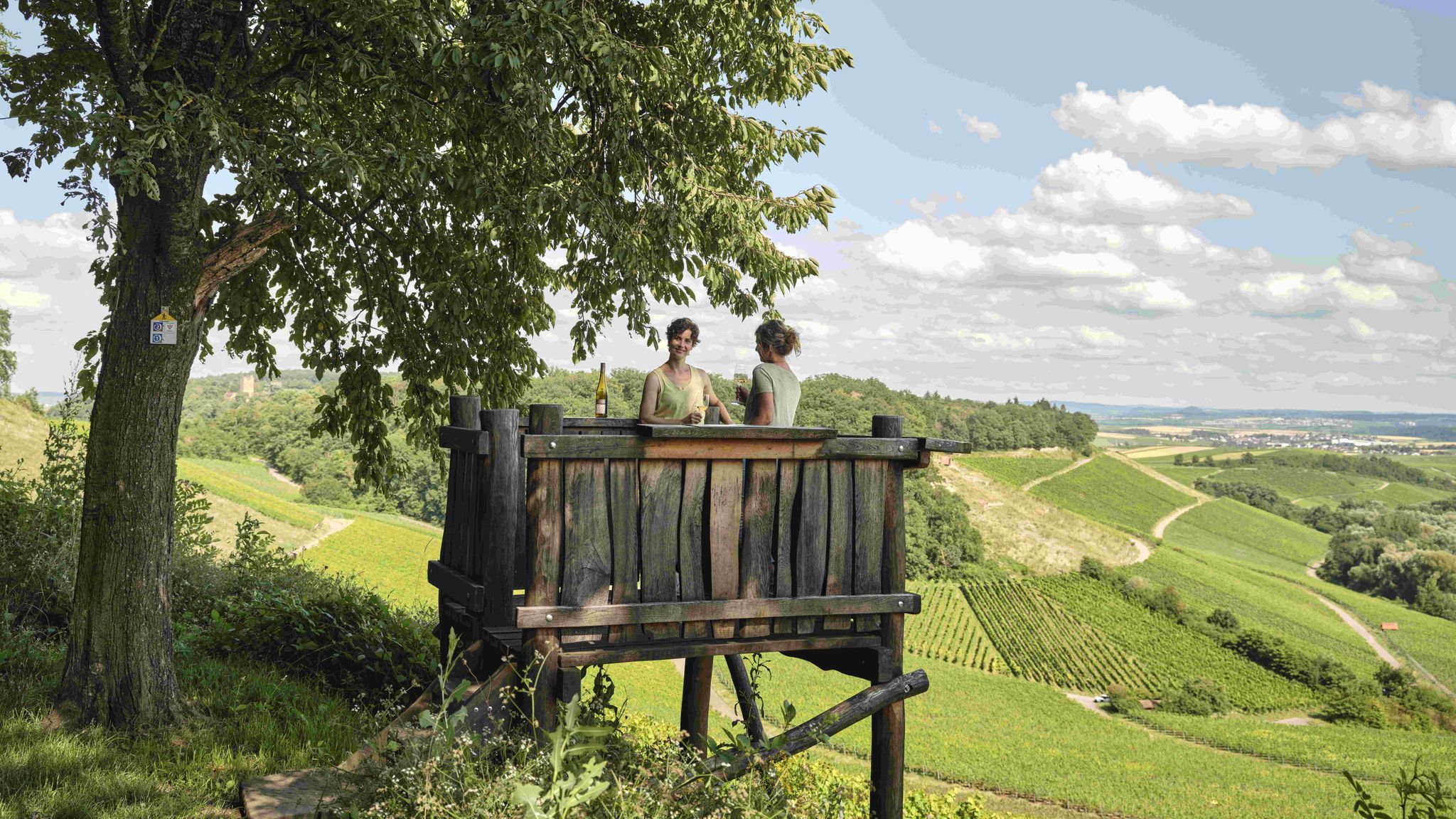
Genusswandern: Auf Wein(wander)wegen durch das Land der 1000 Hügel
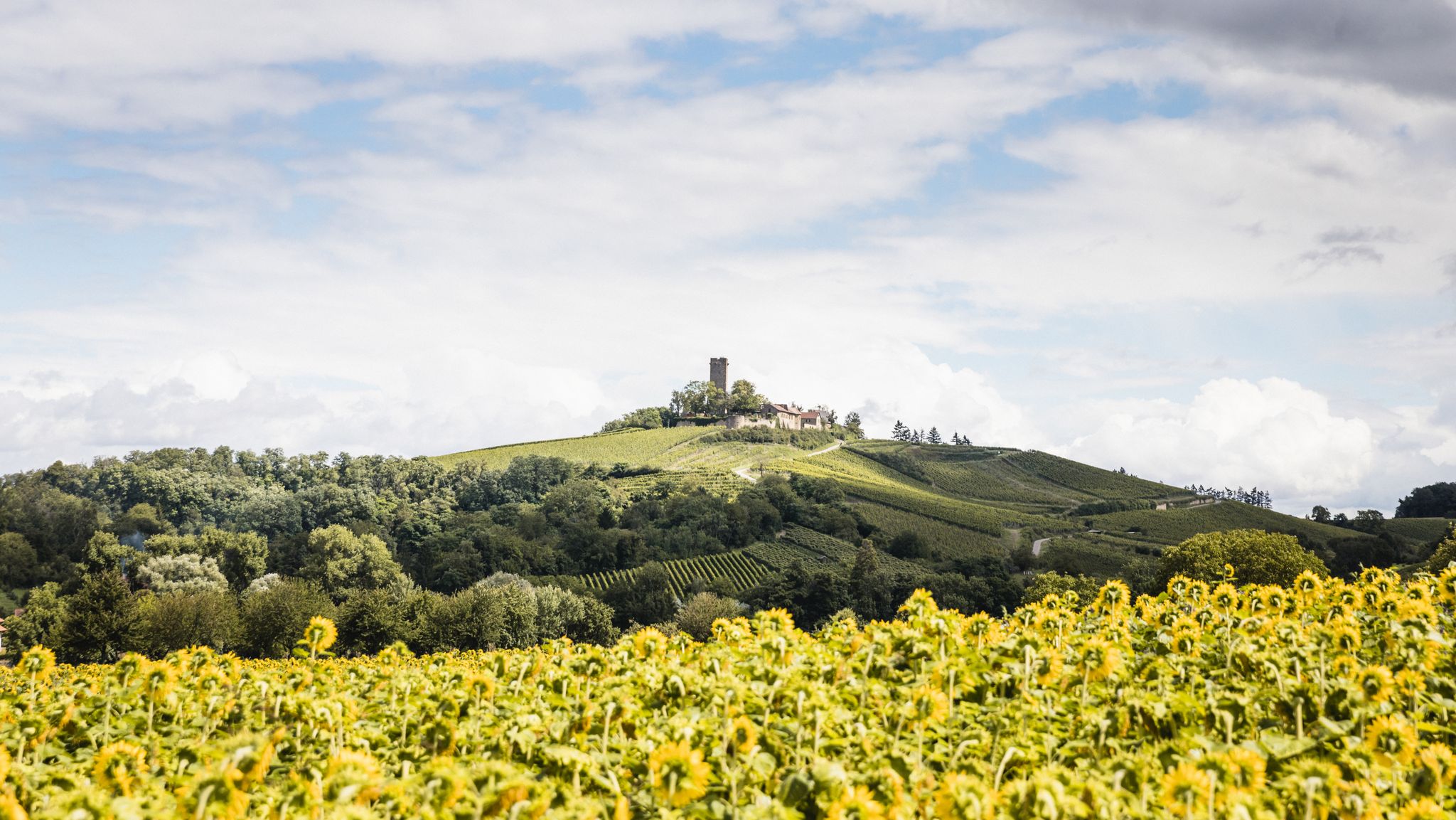
Wein, Wälder und Ruhe: Wanderungen in Sulzfeld und Zaisenhausen

Wander3Klänge: Einfach Los Wandern im Naturpark Stromberg-Heuchelberg

Zu Fuß durchs Land der 1000 Hügel
Road Cycling Routes around Zaisenhausen
Hiking around Zaisenhausen
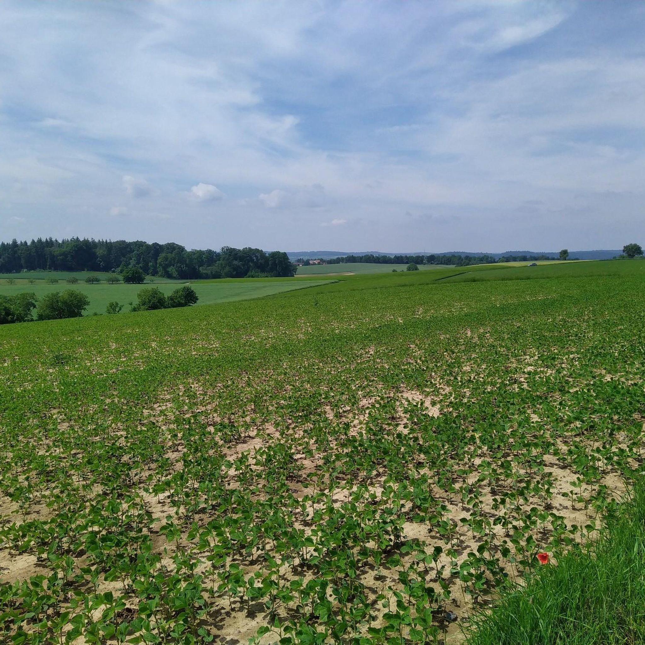
Cycling around Zaisenhausen
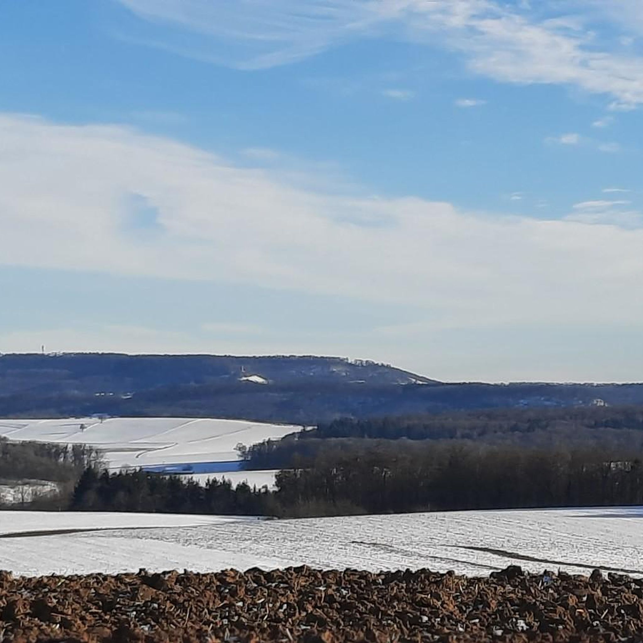
MTB Trails around Zaisenhausen
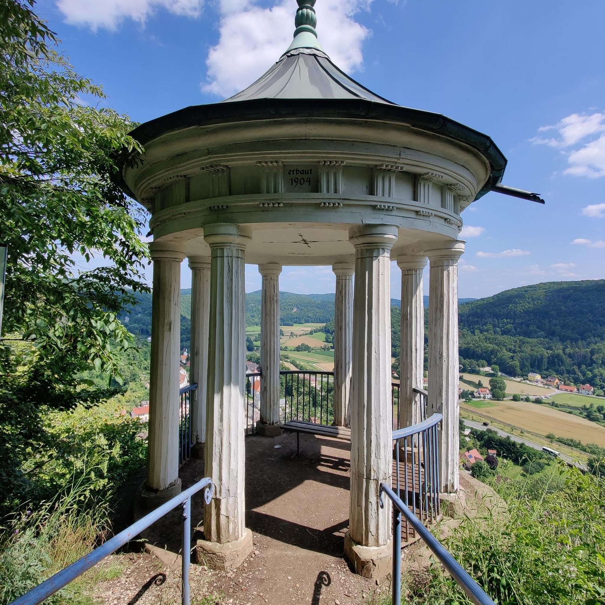
Gravel biking around Zaisenhausen
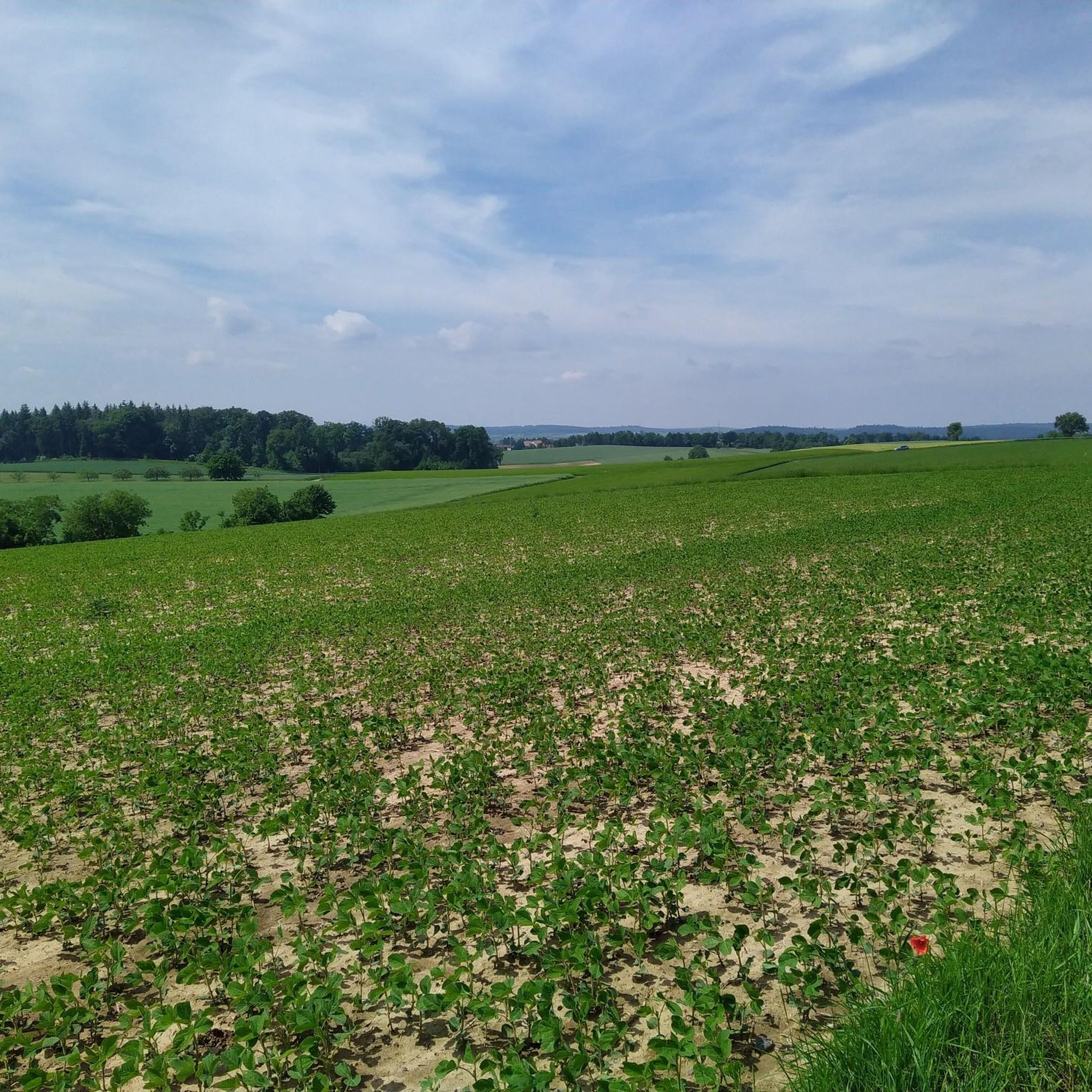
Running Trails around Zaisenhausen
Other adventures around Zaisenhausen

Tips from the Community

Nice climb until then 😝
3
1

The way up to Ottilienberg leads along a small steep path.
11
0

"Seltsamonskis" really like everything! "Over and over again" 🤢
2
1

Bench with a view over the vineyards
2
1
Once a month - usually on the first Sunday of the month from 11 a.m. to 5 p.m. - the German Alpine Club, Eppingen district group, opens and manages the Ottilienberg tower.
19
1

The DAV Eppingen local group's hiking hut is currently open on the first Sunday of every month, whatever the weather.
10
0

nice little chapel on tour
4
1
Beautiful viewpoint with panoramic view and orientation stone 👍
3
1
Frequently Asked Questions
What are the most popular elevated spots around Zaisenhausen?
Visitors particularly enjoy the St. Ottilien Chapel on the Ottilienberg, known for its 15th-century pilgrimage chapel, hut, and barbecue area. Another favorite is the View from Derdinger Horn, offering a panoramic vista over the Kraichgau and Odenwald from 270 meters altitude.
Are there any historical or religious sites on the elevated points in the region?
Yes, the region features several significant sites. The St. Ottilien Chapel on the Ottilienberg is a 15th-century pilgrimage chapel. Additionally, the St. James Chapel on Kapellenberg (Eichelberg), built in 1748, stands at 302 meters above sea level and is dedicated to the Archangel Michael.
What kind of views can I expect from the elevated points around Zaisenhausen?
The elevated spots offer diverse and scenic views. From the View from Derdinger Horn, you can see the Kraichgau and Odenwald. The Augenberg Viewpoint provides a panoramic view over vineyards, while the View of the Black Forest from the Highest Point offers a wide vista of the distant Black Forest.
What outdoor activities are available near Zaisenhausen's elevated areas?
The region is ideal for hiking, running, and road cycling. You can explore various routes like the "ZH1 – Great Panorama Trail Zaisenhausen" for hiking, or the "Wanderheim Zaisenhausen loop" for running. For road cycling, routes like "Gochsheim Castle – Odenheim town centre loop" are popular. Find more details on these activities in the Hiking around Zaisenhausen, Running Trails around Zaisenhausen, and Road Cycling Routes around Zaisenhausen guides.
Are there family-friendly elevated spots or trails in the Zaisenhausen area?
Yes, several spots are considered family-friendly. The St. Ottilien Chapel on the Ottilienberg includes a barbecue area, which is great for families. The View from Derdinger Horn and Augenberg Viewpoint are also suitable for family outings, offering accessible views and pleasant surroundings.
What is the highest point in the Zaisenhausen municipal area?
The highest point within Zaisenhausen's municipal area is the Zaiselberg, reaching an elevation of 251 meters (approximately 823 feet) above sea level. While not a mountain in the traditional sense, it offers pleasant elevated views within the Kraichgau hill country.
What is the general landscape like around Zaisenhausen's elevated areas?
The landscape around Zaisenhausen is characterized by gentle, rolling hills, predominantly covered with loess and loess loam. You'll find picturesque vineyards, forests, and the Wiesental of the Kohlbach valley, offering a tranquil natural experience rather than rugged mountain terrain.
Are there any specific hiking trails recommended for exploring the elevated areas?
For hiking, you can explore routes like the "ZH1 – Great Panorama Trail Zaisenhausen" which is a moderate 11.7 km loop, or the easier "ZH2 – Small Panorama Trail" at 5.5 km. The "Beautiful view of the rolling hills – Claffenbrunnen loop" is another easy option. More details can be found in the Hiking around Zaisenhausen guide.
What natural attractions can be found near the elevated points?
Beyond the viewpoints themselves, the region offers natural beauty in its vineyards and forests. Nearby, you can also find the Kraichgau-Höhenweg, a popular hiking route, and the Stromberg-Heuchelberg Nature Park, which provides numerous trails. Lakes like Katzenbachsee and Ehmetsklinge Reservoir are also within reach for recreation.
What do visitors appreciate most about the elevated spots around Zaisenhausen?
Visitors frequently highlight the beautiful panoramic views, especially from spots like Derdinger Horn, which allows them to see the Kraichgau and Odenwald. The presence of historical chapels, like St. Ottilien Chapel, and the serene atmosphere of the rolling hills and vineyards are also highly valued.
Are there any places to stop for refreshments near the elevated points?
Yes, some elevated spots offer amenities. The St. Ottilien Chapel on the Ottilienberg has a hut and barbecue area. Additionally, near the View of the Black Forest from the Highest Point, you can find Häberle's farm café in the Weierbachsiedlung.
Most popular routes around Zaisenhausen
Most popular attractions around Zaisenhausen

Get inspired with the komoot mobile app


Explore more
See even more amazing summits around Zaisenhausen with these guides:
