The 6 Most Amazing Peaks around Münstermaifeld
Mountain peaks around Münstermaifeld geographical characteristics include a landscape of rolling hills, river valleys, and elevated viewpoints situated on the Maifeld plateau, between the Moselle River and the Eifel mountains. This region offers diverse hiking opportunities, from leisurely walks to more challenging routes. Visitors can find panoramic views and access to historical sites. The area is known for its elevated terrain and challenging hikes along the Moselle River.
Best mountain peaks around Münstermaifeld
- The most popular mountain peaks is Sammetzkopf…
Last updated: May 14, 2026
Summit Cross Above Kloster Engelport
Highlight • Summit
There is also an observation deck with a picnic bench and a large open shelter.
Translated by Google •
Tip by

Treiser Schock Summit Cross
Highlight • Summit
Translated by Google •
Tip by

Sign up now to discover places like this
Get recommendations on the best single tracks, peaks, & plenty of other exciting outdoor places.
Sign up for free
Sammetzkopf Summit and Panoramic View of Maifeld
Highlight • Summit
Translated by Google •
Tip by

Buchhöller Kopf Viewpoint
Highlight • Viewpoint
Translated by Google •
Tip by
View of Kruft and Korretsberg
Highlight • Viewpoint
Translated by Google •
Tip by

Sign up for free to discover even more peaks around Münstermaifeld.
Sign up for free
Already have an account?
Start today with a free account
Your next adventure awaits.
Login or Signup
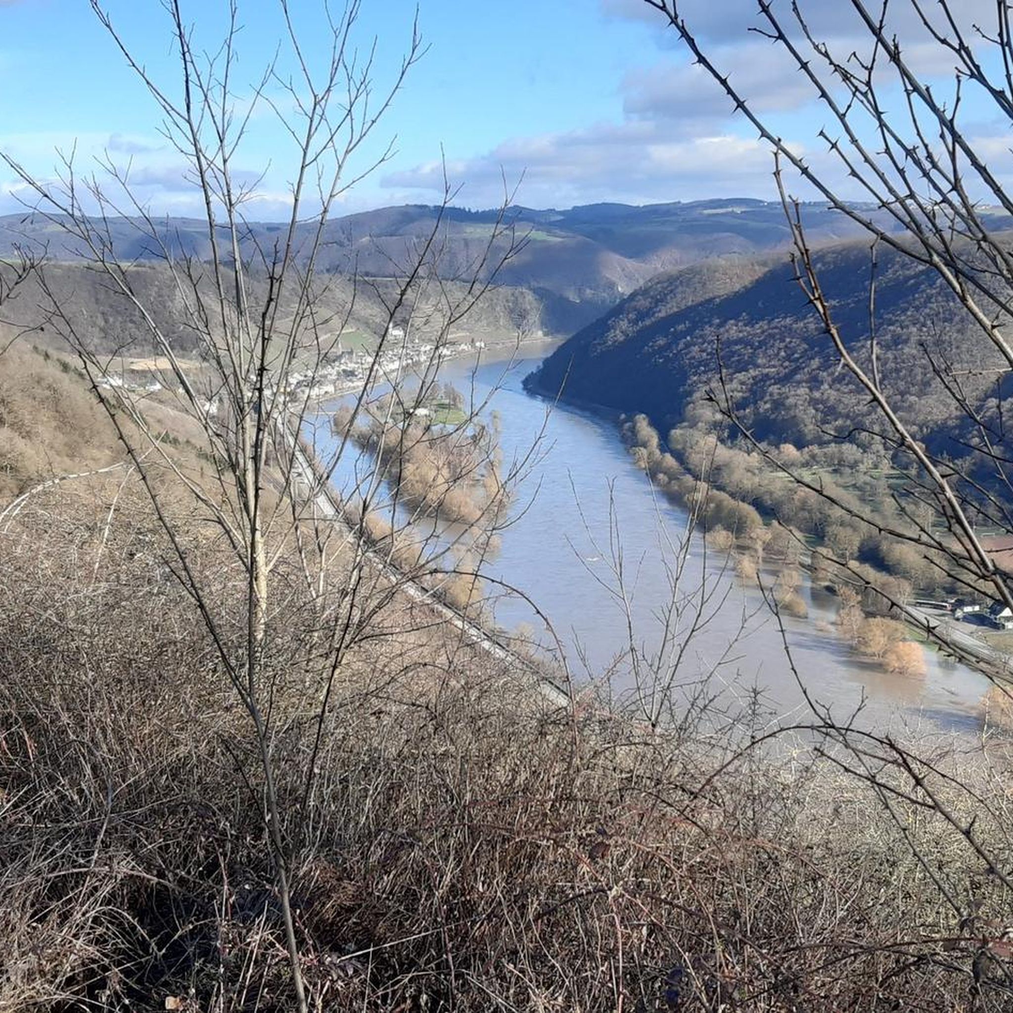
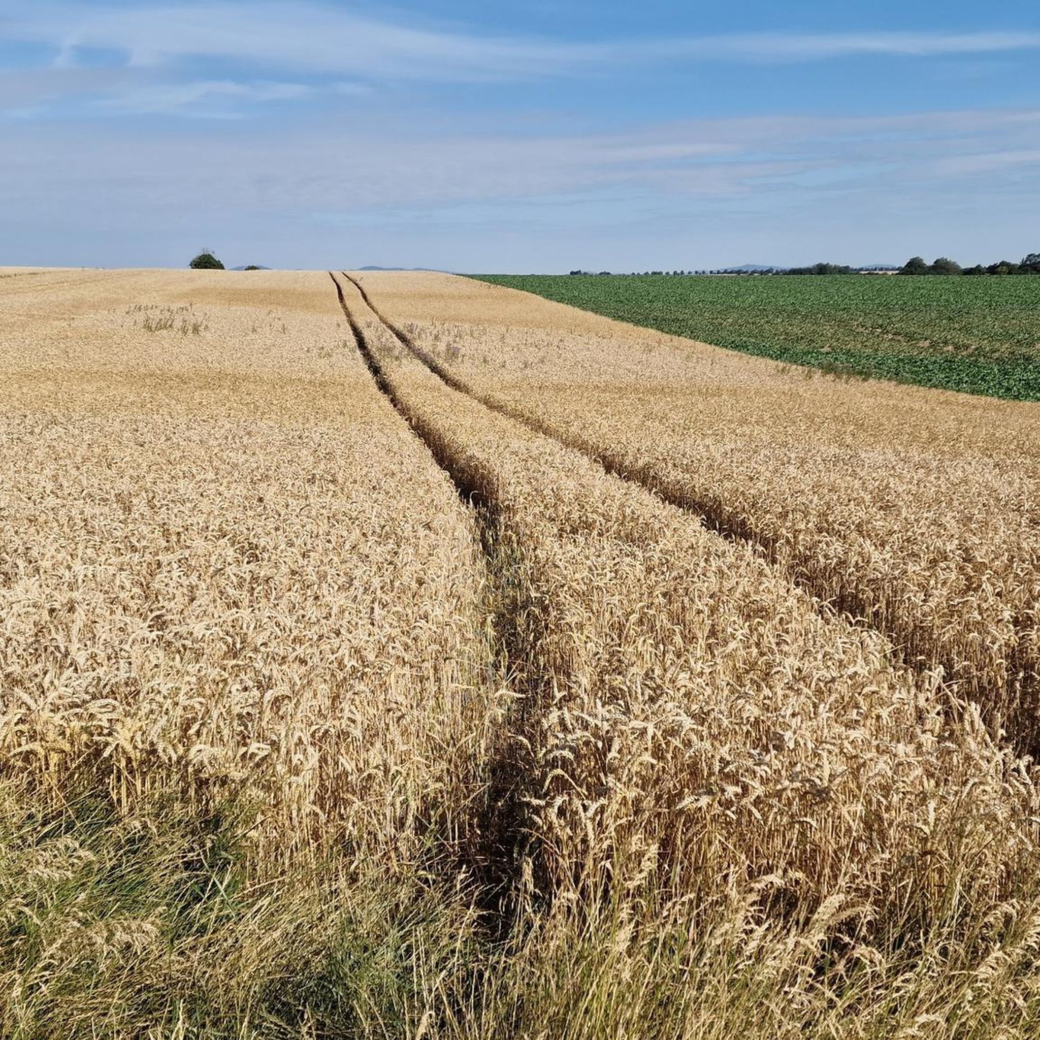
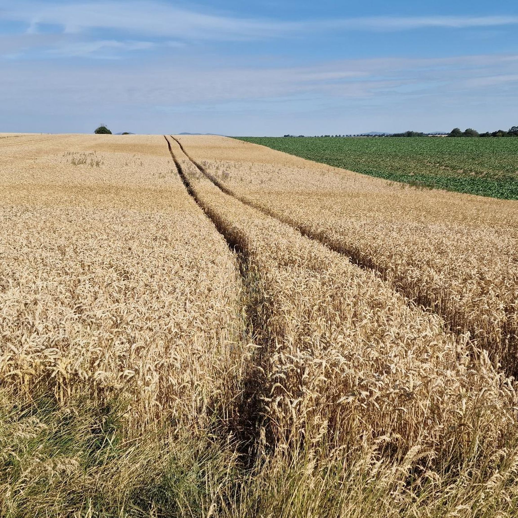
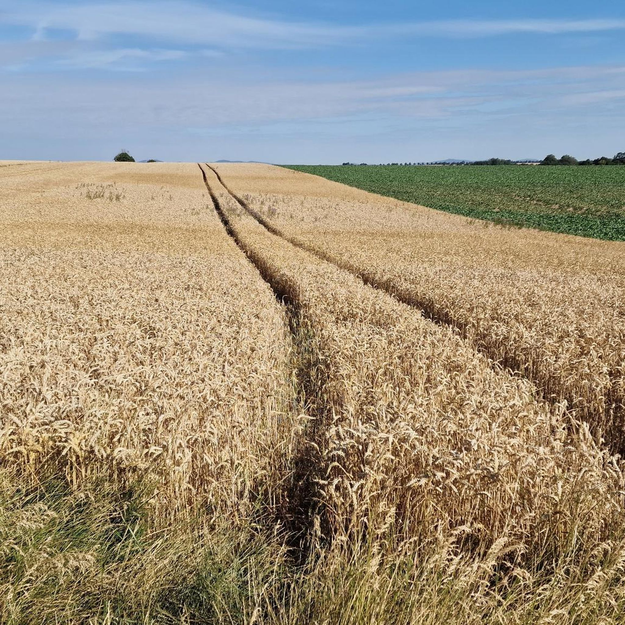
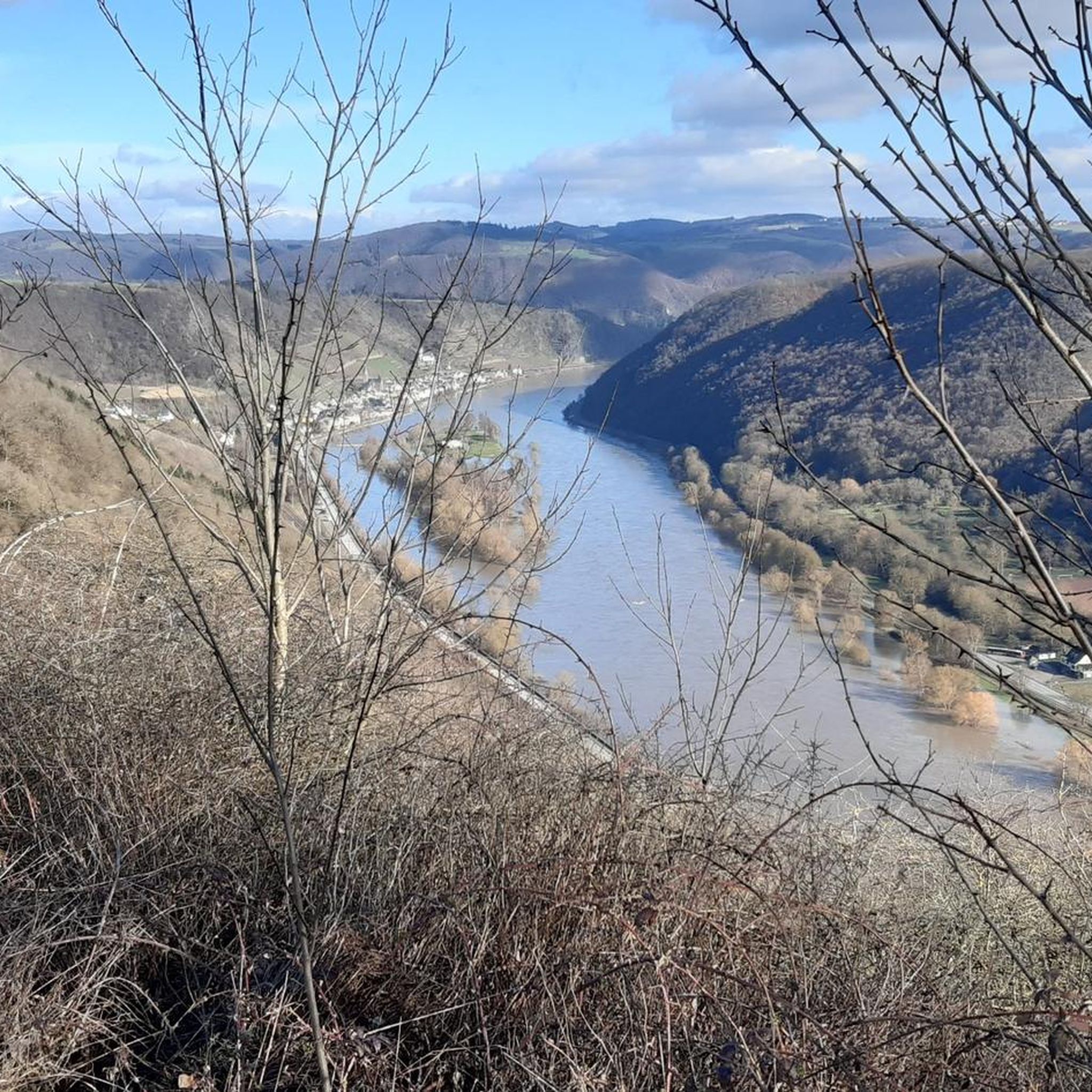
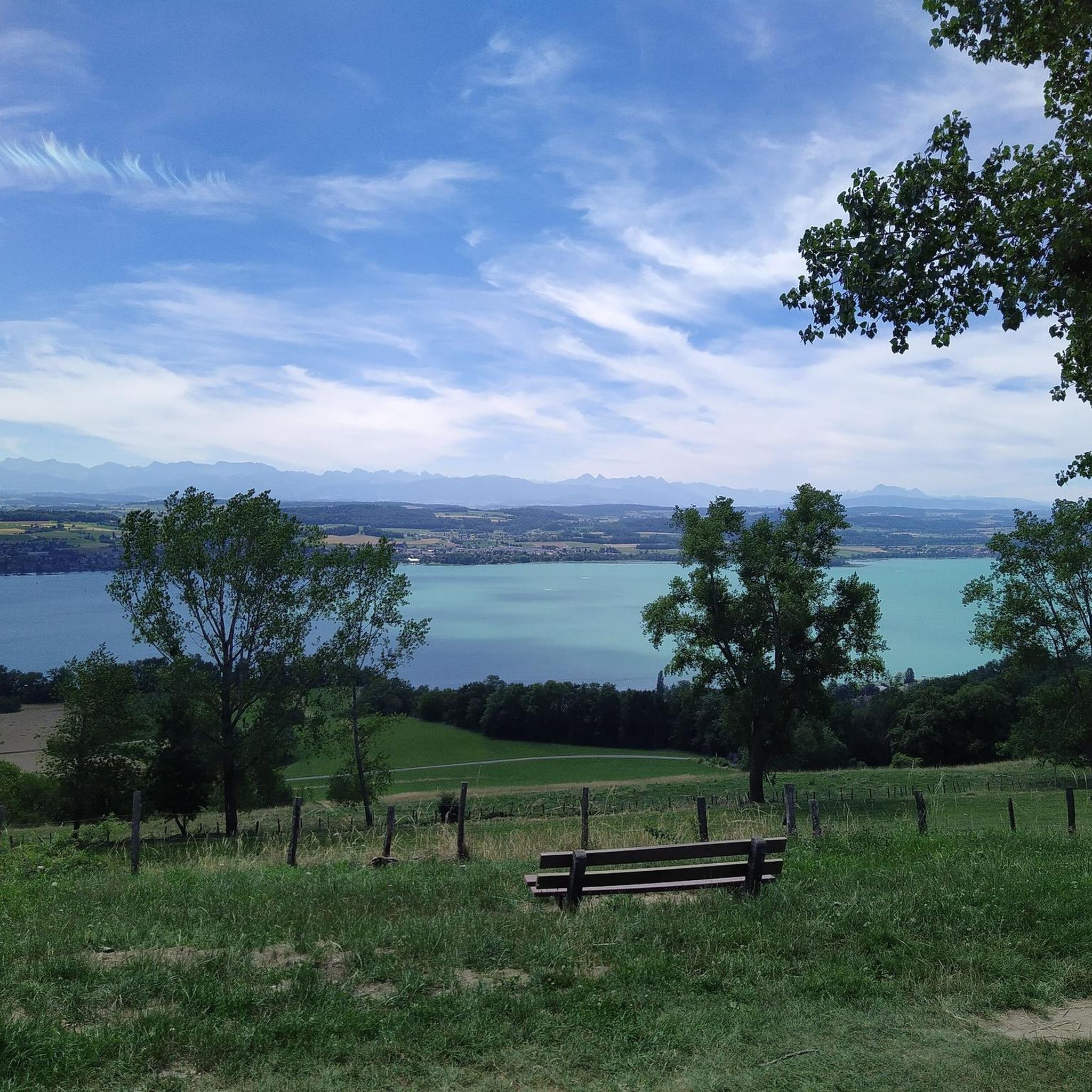
Tips from the Community

fantastic view of the monastery
0
0

Those exploring the dream trail "Pyrmonter Felsensteig" will reach the highest point of the route on the Sammetzkopf. There, an illuminated summit cross stands prominently, even in the dark. From the Sammetzkopf, an impressive view opens up: It stretches as far as Münstermaifeld with its magnificent collegiate church and further to the volcanoes of the Eastern Eifel. The wide panoramic view over the plateau forms a fascinating yet harmonious contrast to the narrow paths in the Elz Valley.
38
0

The descent from here is OK, the cross itself is, as Danger Willi says, just a cross. The path from the Schockhütte to the cross is barely recognizable.
0
0

A really great viewing point. It's worth staying a while here.
2
0


a great vantage point, only accessible by hiking along narrow slate paths
0
0

Good rest area with a great view. The way there is worth it.
1
0

A cross - that's the highest point, but otherwise there's nothing special here. The reward is just a cool descent waiting for you.
2
0
Frequently Asked Questions
What kind of elevated experiences can I expect around Münstermaifeld?
The Münstermaifeld region, situated on the Maifeld plateau between the Moselle River and the Eifel mountains, offers a landscape of rolling hills, river valleys, and elevated viewpoints rather than traditional towering mountain peaks. You'll find diverse hiking opportunities leading to stunning panoramic views and historical sites. The focus is on elevated terrain and challenging trails, particularly along the Moselle River and in the Elz Valley.
Which elevated spots offer the best panoramic views near Münstermaifeld?
For impressive panoramic views, consider visiting Sammetzkopf Summit and Panoramic View of Maifeld, which is the highest point of the Pyrmonter Felsensteig dream trail and offers vistas stretching to Münstermaifeld and the Eastern Eifel volcanoes. Another excellent spot is Buchhöller Kopf Viewpoint, providing great views of the Brodenbach valley from a rustic wooden bench on a rocky outcropping.
Are there any historical or cultural landmarks associated with the elevated areas?
Absolutely. The elevated terrain surrounding the iconic Eltz Castle offers a magnificent natural and historical experience. The castle itself sits atop a 129-meter-high hill, encircled by the Elzbach. Hiking trails in this area provide not only stunning vistas of the castle but also serene natural beauty. Additionally, Treiser Schock Summit Cross is a historical destination, with summit crosses often telling stories of local piety and tradition.
What are some challenging hiking trails with elevated sections in the region?
For a challenging experience, the Rabenlay and Kreuzlay viewpoints along the Moselle slope are part of demanding hiking trails like the "Hatzenporter Laysteig." This path features via ferratas, adding an adventurous element and offering magnificent panoramic views of the Moselle valley and its vineyards. The trails around Eltz Castle, such as the "Eltzer Burgpanorama," also offer varying levels of difficulty with dramatic inclines.
What unique natural features can I explore in the elevated areas?
The Ehrbachklamm Gorge, located near Münstermaifeld, offers a unique elevated experience within a gorge setting. It features a hiking trail with a short, steep ascent that rewards hikers with expansive views over forests and valleys. The gorge is known for its beautiful small waterfalls and vibrant natural colors, especially in autumn, providing an idyllic and adventurous natural setting.
Are there family-friendly elevated walks or viewpoints around Münstermaifeld?
While many trails involve some elevation, the Sammetzkopf Summit and Panoramic View of Maifeld is considered family-friendly. It's the highest point of the Pyrmonter Felsensteig dream trail and offers an impressive, wide panoramic view over the plateau, which can be enjoyed by families.
What do visitors enjoy most about the elevated areas and peaks near Münstermaifeld?
Visitors particularly appreciate the stunning panoramic views, the blend of natural beauty with historical landmarks like Eltz Castle, and the diverse hiking opportunities. The region's elevated terrain provides a fascinating contrast to the narrow river valleys, offering rewarding experiences for nature lovers and those seeking adventure. The komoot community has given the area 25 upvotes and shared 16 photos, highlighting its appeal.
What outdoor activities can I do near the elevated areas of Münstermaifeld?
Beyond hiking, the region offers various outdoor activities. You can explore running trails around Münstermaifeld, with options like the moderate "View of Münstermaifeld – Mertloch Water Playground loop." For cyclists, there are numerous road cycling routes, such as the "View of Thurant Castle and Alken – View of Thurant Castle loop."
Are there specific hiking routes that incorporate these elevated viewpoints?
Yes, many hiking routes are designed to showcase the region's elevated viewpoints. For instance, the "Pyrmonter Felsensteig" dream trail leads directly to the Sammetzkopf Summit and Panoramic View of Maifeld. The "Hatzenporter Laysteig" is another notable trail that takes you to the dramatic Rabenlay and Kreuzlay viewpoints. You can find more options for hiking around Münstermaifeld, including routes like the "Forest Path to Eltz Castle – Eltz Castle loop."
What is the highest point in the wider Eifel region, and how does it relate to Münstermaifeld?
While Münstermaifeld itself is on a plateau, its proximity to the Eifel mountains means that the highest point in the wider Eifel region is the Hohe Acht, standing at 746.9 meters above sea level. It's a Tertiary volcano offering extensive views from its Emperor William Tower. Although not directly in Münstermaifeld, it represents the broader mountainous character of the Eifel area.
Can I find any less-known or 'hidden gem' elevated trails in the area?
While specific 'hidden gems' are often discovered through local exploration, the Ehrbachklamm Gorge, with its picturesque waterfalls and vibrant autumn colors, offers a captivating and perhaps less-trafficked experience compared to the more famous Eltz Castle area. The trail from Schock Hut to Schock Summit Cross also offers a fine downhill section for those looking for a specific trail experience.
Most popular routes around Münstermaifeld
Most popular attractions around Münstermaifeld

Get inspired with the komoot mobile app


Explore more
See even more amazing summits around Münstermaifeld with these guides:
