The 9 Most Amazing Peaks around Ergeshausen
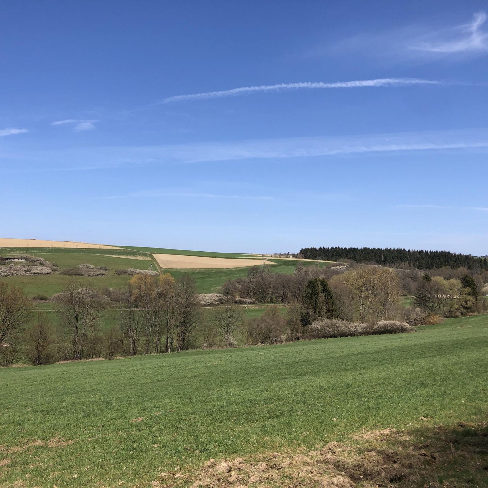
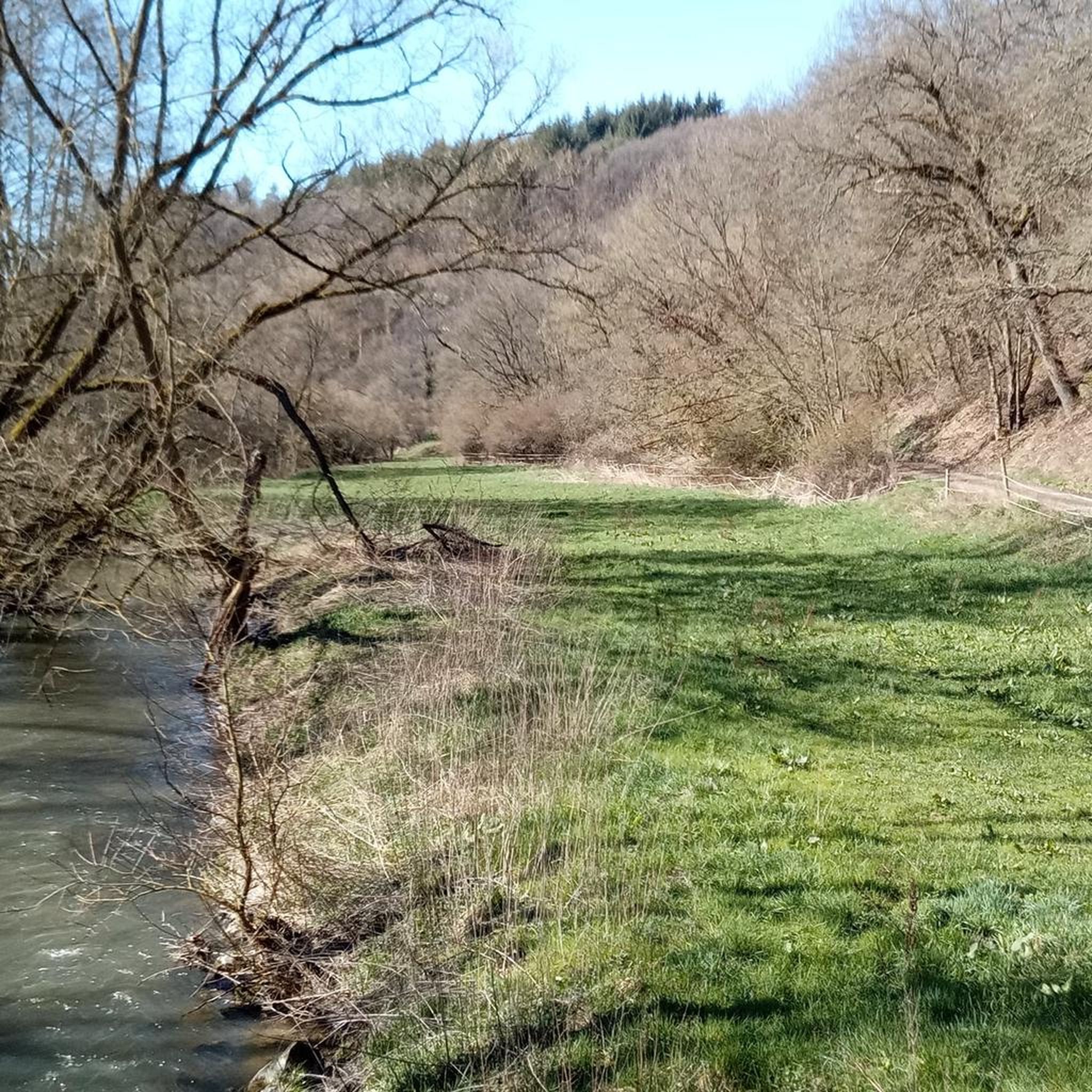
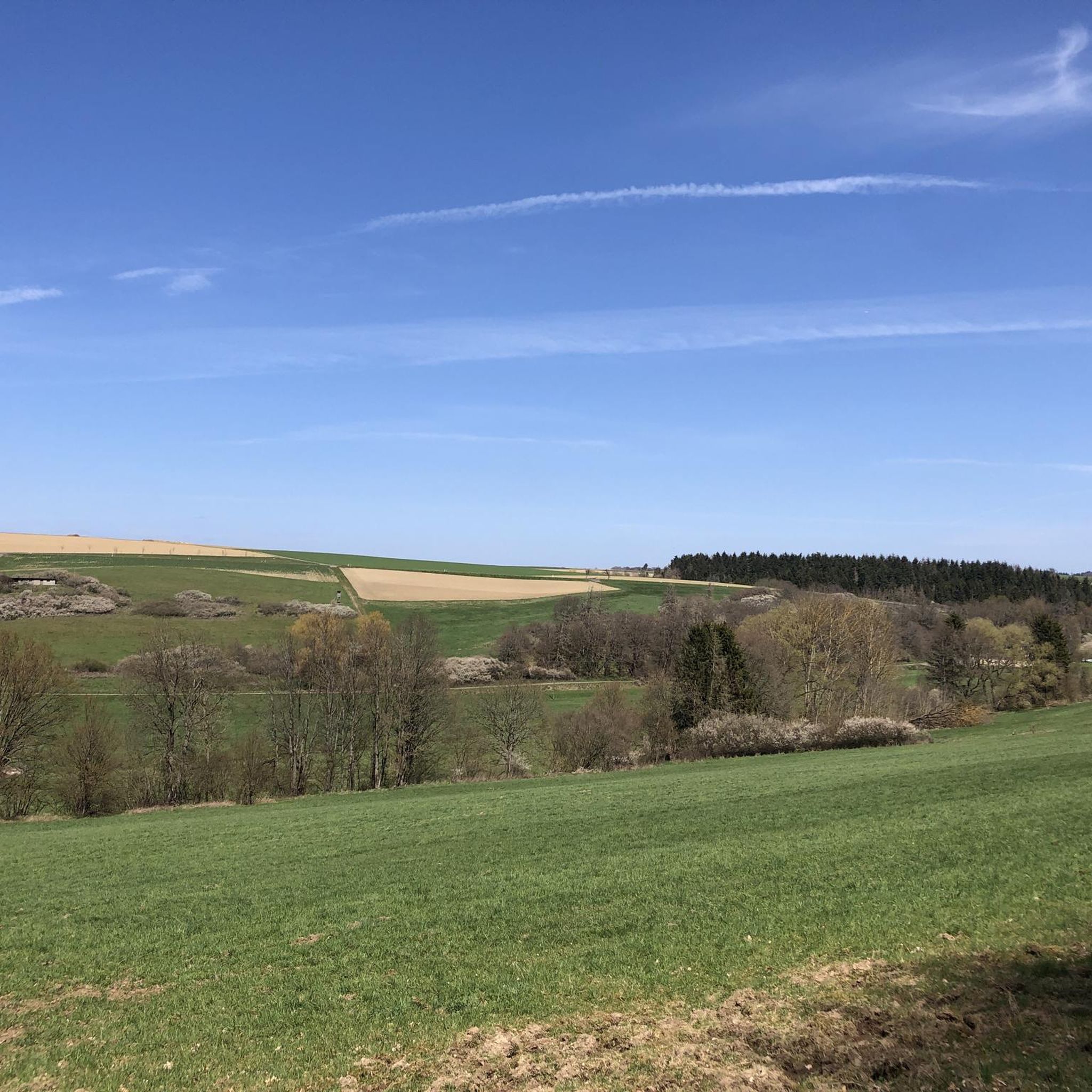
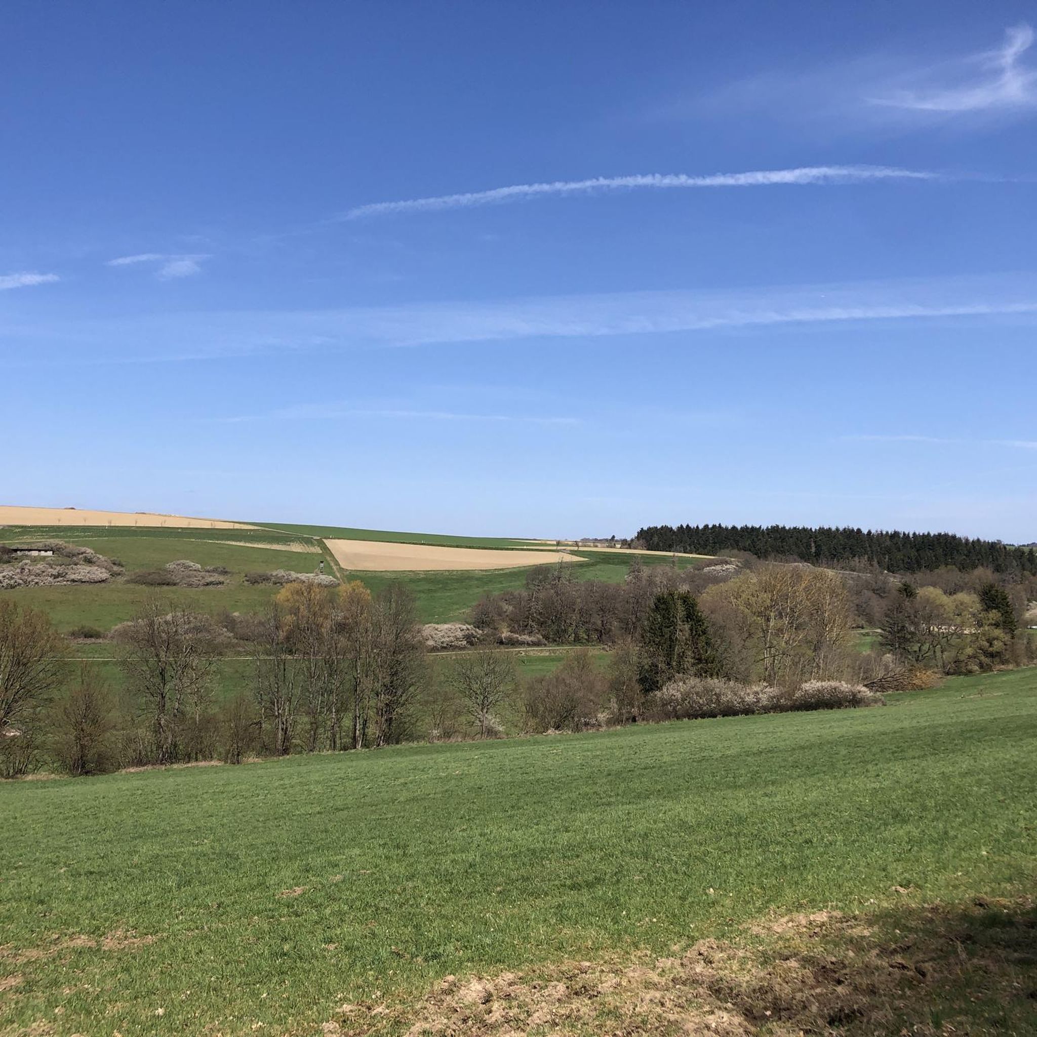
Best mountain peaks around Ergeshausen are found in the scenic Rhineland-Palatinate, a region characterized by the wooded hills of the Taunus and the Lahn River. Ergeshausen, situated at an elevation of 300 meters, serves as a starting point for exploring several notable peaks. This area is a destination for nature enthusiasts seeking to experience the natural landscape. Hiking trails provide access to these elevated points, offering views of the surrounding terrain.
Best mountain peaks around Ergeshausen
- The most popular mountain peaks is Weinähr summit cross with viewpoint, a viewpoint located above Weinähr. It offers a panoramic view over Weinähr, the Goethe Point, and the Lahn valley, including the Arnstein monastery.
- Another must-see spot is Hohe Lay Viewpoint, a viewpoint. Visitors can expect a view over the Lahn Valley, encompassing Arnstein Monastery, Langenau Castle, and Nassau.
- Visitors also love Ergenstein Summit, a summit with an altitude of 419 meters. This elevation in the German low mountain range Taunus is notable as a trigonometric point near Schönborn.
- Ergeshausen is known for its viewpoints, summits, and trails. The region offers a variety of mountain peaks to see and explore, catering to different hiking preferences.
- The mountain peaks around Ergeshausen are appreciated by the komoot community, with over 380 upvotes and 310 photos shared.
Last updated: June 26, 2026
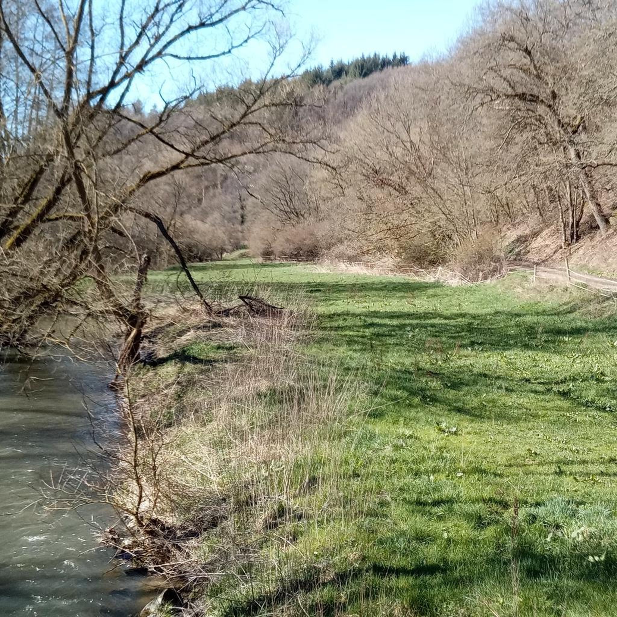
View of the Lahn River bend from Gabelstein
Highlight • Viewpoint
Translated by Google •
Tip by

Hohe Lay Viewpoint
Highlight • Viewpoint
Translated by Google •
Tip by

Sign up now to discover places like this
Get recommendations on the best single tracks, peaks, & plenty of other exciting outdoor places.
Sign up for free
Weinähr summit cross with viewpoint
Highlight • Viewpoint
Translated by Google •
Tip by

Ergenstein Summit
Highlight • Summit
jakupka.de/erg-hahn.htm
Translated by Google •
Tip by

ErgWurz Trail
Highlight (Segment) • Trail
Translated by Google •
Tip by

Sign up for free to discover even more peaks around Ergeshausen.
Sign up for free
Already have an account?
Start today with a free account
Your next adventure awaits.
Login or Signup
Tips from the Community

The district boundaries of Schönborn and Hahnstätten meet on the Ergenstein. There used to be a lookout point here, but it is now overgrown. The Hahnstätter Heimat- und Verschönerungsverein has erected a shelter at this spot. Immediately next to the hut, a path leads to the boundary stone, which is about 150 meters away. There are also other paths that lead to the boundary stone. It is best to look out for the small wooden arrows that are on the trees. http://www.jakupka.de/erg-hahn.htm
1
0

Also easy to reach on horseback, the path from Winden (with a few deposits) or halfway along the Gelbach valley from Dies / Eschenau is very beautiful.
1
1

The "mountain station" hut on the summit cross, skis and a commemorative plaque inside to commemorate a legendary downhill run that led from the Michelskapelle via Windener Straße through the vineyards to the finish at what is now the children's playground in Weihern. On December 6, 1906, Wilhelm Kappes from Weinnur was the first skier to attempt this life-threatening piste.
1
1

Great located hut for a break with a beautiful view over Weinehr
0
0

“Each of these crosses can tell its own story and what prompted people to erect“ their ”cross at this point. (...) These crossroads have been erected as visible signs and attract the looks of many people. The cross is a symbol of life. It stands as a sign of our Christian hope and wants to direct our gaze to Jesus Christ, who overcame death (...). The cross is part of our life, just as it was part of the life of Jesus. So I wish that many people ... visit the crossroads, whether as places of silence and breathing before God, whether as places of congregation meeting, prayer and praise of God. " (Text source: Dean Rainald M. Ollig in: “Wegekrossze. Small sacred monuments as a sign of popular piety ")
2
3

Great view from up here!
3
0

That's true.
3
0

Great view
0
0
Frequently Asked Questions
What are some of the most notable mountain peaks to explore near Ergeshausen?
The region around Ergeshausen, nestled in the scenic Rhineland-Palatinate, offers several prominent peaks. You can explore the Weinähr summit cross with viewpoint, which provides panoramic views over Weinähr and the Lahn valley. Another significant point is the Hohe Lay Viewpoint, offering vistas of the Lahn Valley, Arnstein Monastery, and Langenau Castle. The Ergenstein Summit, at 419 meters, is a notable elevation in the Taunus low mountain range. Beyond these, the Weißler Höhe (456 m), Köppel (431 m), and Horst (393 m) are integral to local hiking experiences, often included in longer tours.
What kind of views can I expect from the mountain peaks around Ergeshausen?
The peaks and viewpoints near Ergeshausen offer diverse and scenic views. From the Weinähr summit cross with viewpoint, you can see Weinähr, the Goethe Point, and the Lahn valley, including the Arnstein monastery. The Hohe Lay Viewpoint provides expansive views over the Lahn Valley, encompassing Arnstein Monastery, Langenau Castle, and Nassau. Additionally, the View of the Lahn River bend from Gabelstein offers a stunning perspective of the river and surrounding nature reserve.
Are there hiking trails that connect multiple peaks near Ergeshausen?
Yes, there are hiking routes that allow you to experience multiple peaks. For instance, a popular medium-difficulty trail of approximately 14.35 km encompasses the Weißler Höhe, Köppel, and Horst, offering varied terrain and scenic beauty. This route typically takes around 3 hours and 54 minutes to complete, with an ascent of 388 meters.
What is the difficulty level of hiking trails to the peaks around Ergeshausen?
Many trails leading to the peaks around Ergeshausen are considered intermediate in difficulty. For example, the View of the Lahn River bend from Gabelstein is categorized as challenging, while the Hohe Lay Viewpoint, Weinähr summit cross with viewpoint, and Ergenstein Summit are generally intermediate. The 14.35 km tour covering Weißler Höhe, Köppel, and Horst is described as medium-difficulty.
What other outdoor activities can I do near the mountain peaks around Ergeshausen?
Beyond hiking, the area around Ergeshausen is excellent for various outdoor activities. You can find numerous routes for mountain biking, cycling, and road cycling. For detailed routes and guides, explore the MTB Trails around Ergeshausen, Cycling around Ergeshausen, and Road Cycling Routes around Ergeshausen guides.
Are there any natural monuments or unique natural features to see on these peaks?
Yes, several peaks and viewpoints are also recognized as natural monuments. The View of the Lahn River bend from Gabelstein and Hohe Lay Viewpoint are both listed as natural monuments. The Ergenstein Summit is notable as a trigonometric point within the Taunus low mountain range.
What do visitors enjoy most about the mountain peaks around Ergeshausen?
Visitors frequently highlight the fantastic panoramic views, especially from spots like the Weinähr summit cross with viewpoint and the Hohe Lay Viewpoint. The immersive hiking experience through the natural landscape of the Taunus hills and the Lahn River valley is also highly appreciated. The komoot community has shared over 310 photos and given more than 380 upvotes, reflecting the area's popularity.
Are there any shelters or huts near the mountain peaks?
Yes, near the Ergenstein Summit, there is a shelter erected by the Hahnstätter Heimat- und Verschönerungsverein. This provides a convenient resting spot for hikers exploring the area.
Can I find any religious or historical sites near the peaks?
Yes, the region has some historical and religious significance. From the Weinähr summit cross with viewpoint, you can see the Arnstein monastery in the Lahn valley. The Hohe Lay Viewpoint also offers views encompassing Arnstein Monastery and Langenau Castle, adding a historical dimension to the scenic vistas.
What is the best time to visit the mountain peaks around Ergeshausen?
The region is popular for nature lovers and outdoor enthusiasts, suggesting that spring, summer, and autumn are ideal for hiking and exploring the peaks when the weather is mild and the trails are clear. The wooded hills and river banks offer beautiful scenery during these seasons.
Are there any specific trails for mountain biking near the peaks?
Yes, the ErgWurz Trail is a short but highly rated trail that is popular among mountain bikers. While it offers a beautiful trail area, it's noted that views from this specific trail are limited despite its altitude. For more mountain biking options, refer to the MTB Trails around Ergeshausen guide.
Most popular routes around Ergeshausen
Most popular attractions around Ergeshausen

Get inspired with the komoot mobile app


Explore more
See even more amazing summits around Ergeshausen with these guides:
