The 12 Most Amazing Peaks around Wölferlingen
Mountain peaks around Wölferlingen are located in the Westerwald region of Germany, an area defined by its hills and forests. While Wölferlingen itself is known for more gentle elevations, the surrounding Westerwald offers several notable high points. This landscape provides a mix of natural features and established hiking experiences. The region's elevations offer diverse opportunities for outdoor exploration.
Best mountain peaks around Wölferlingen
- The most popular mountain peaks is Helleberg Observation Tower, a viewpoint and man-made monument. This tower…
Last updated: May 14, 2026
Summit cross on Blasiussteig
Highlight • Monument
Translated by Google •
Tip by

Translated by Google •
Tip by

Sign up now to discover places like this
Get recommendations on the best single tracks, peaks, & plenty of other exciting outdoor places.
Sign up for free
Trail to Burgberg
Highlight • Trail
Translated by Google •
Tip by

Helleberg Observation Tower
Highlight • Viewpoint
Translated by Google •
Tip by

Beilstein Basalt Summit with Gazebo
Highlight • Summit
Translated by Google •
Tip by

Sign up for free to discover even more peaks around Wölferlingen.
Sign up for free
Already have an account?
Start today with a free account
Your next adventure awaits.
Login or Signup
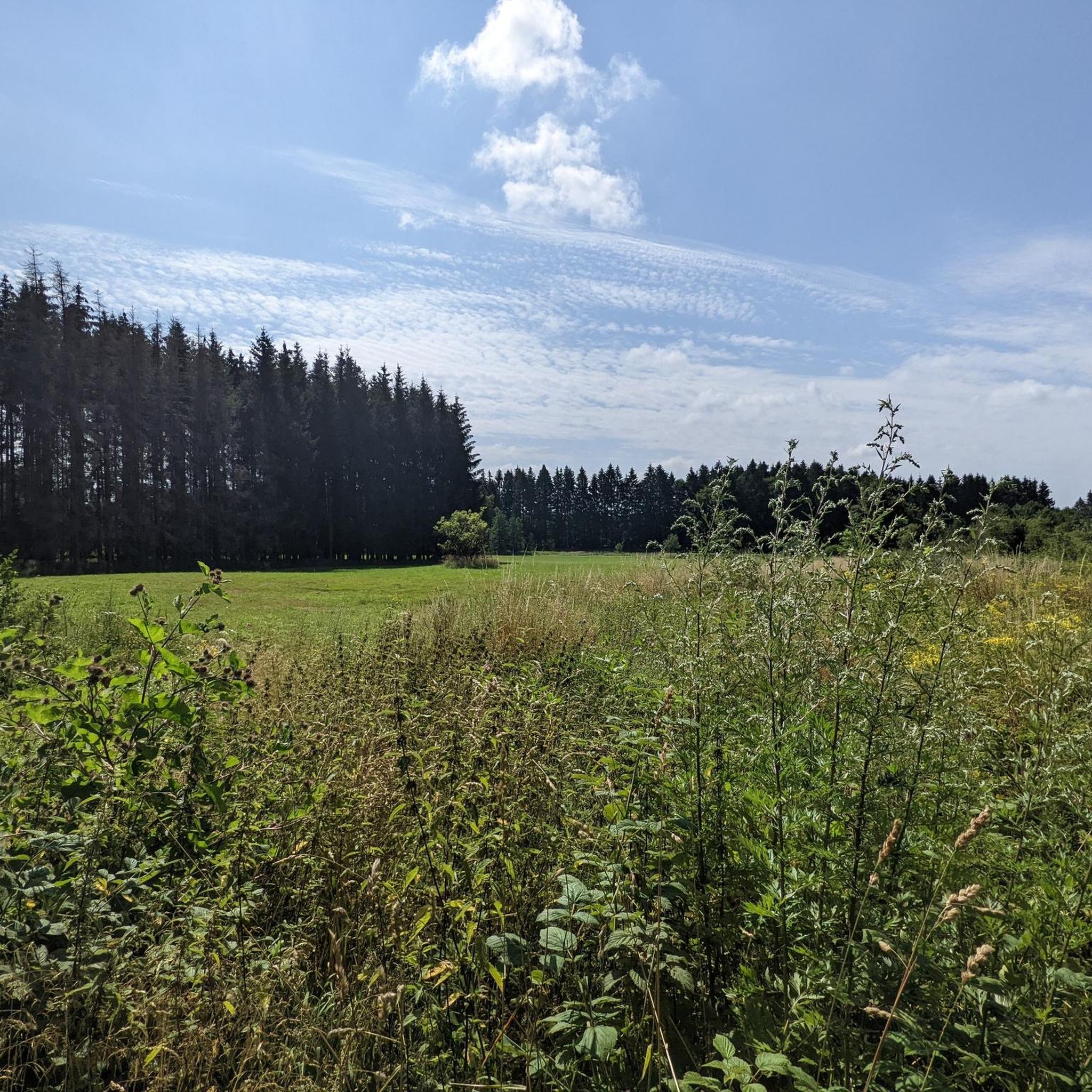
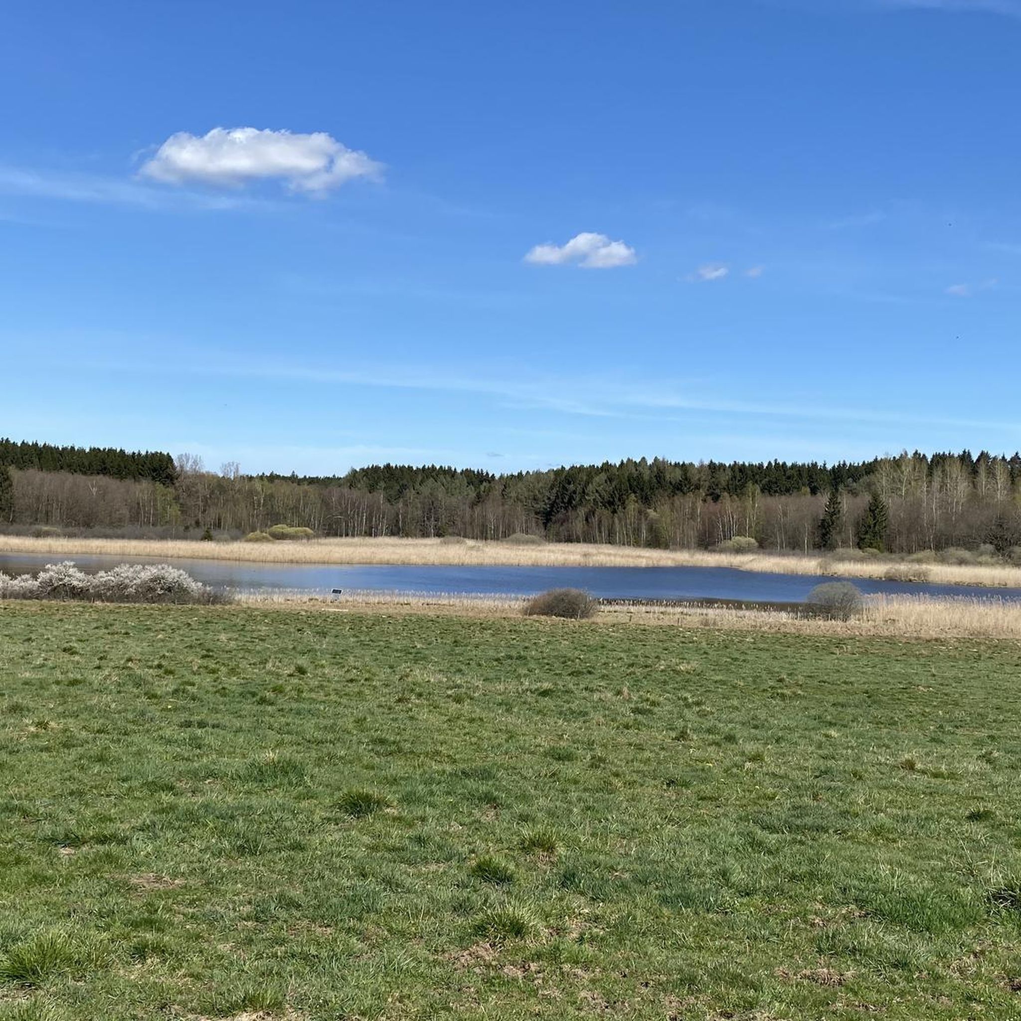
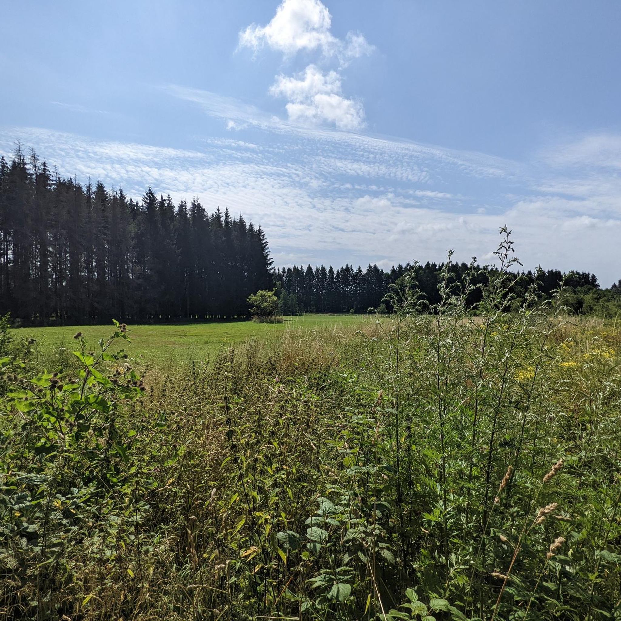

Tips from the Community

A must-do hike; if the weather is good, hikers will be treated to beautiful views stretching from the Westerwald to the Großer Feldberg in the Taunus.
0
0

Great place for a little break
3
0

Here it goes up quite steeply again and the castle is not waiting for you. But the view is worthwhile.
0
0


Wonderful up here
1
0

This path is easy to walk and I was excited about the view and was not disappointed.
1
0

This striking tower offers an amazing view from above - weather permitting.
4
0

Anyone who has managed the 160 steps to the top will get a beautiful all-round view.
4
0
Frequently Asked Questions
What are some of the most popular mountain peaks and viewpoints around Wölferlingen?
Visitors frequently enjoy the Helleberg Observation Tower, which stands at 490 meters above sea level and offers panoramic views of the Westerwald Lake District. Another popular spot is the Summit cross on Blasiussteig, a significant point on a well-maintained trail. The Trail to Burgberg also offers a rewarding ascent to a castle hill with great views.
Are there any family-friendly mountain walks or viewpoints in the Wölferlingen area?
Yes, the Helleberg Observation Tower is considered family-friendly. While the Westerwald region generally offers gentle elevations suitable for various ages, specific trails should be checked for difficulty. The observation tower provides an accessible way to enjoy expansive views.
What kind of natural features can I expect to see on the peaks around Wölferlingen?
The region is characterized by hills and forests. You can find natural summits like the Malberg summit, which also features the Wildweiberhäuschen rock formation. The Beilstein Basalt Summit with Gazebo offers typical Westerwald basalt formations and panoramic views over wide areas of the Westerwald up to the Taunus.
What is the highest point in the broader Westerwald region, accessible from Wölferlingen?
The highest mountain in the entire Westerwald is Fuchskaute, reaching an elevation of 657.3 meters (2156.5 feet). While not directly in Wölferlingen, it's a significant landmark in the broader region, offering panoramic views.
Are there any historical or cultural sites on the mountain peaks near Wölferlingen?
Yes, the Malberg summit is historically significant. Additionally, the Summit cross on Blasiussteig is a man-made monument with religious significance, often featuring a weather-protected summit book.
Can I bring my dog on trails around the mountain peaks in Wölferlingen?
Yes, some trails are dog-friendly. For example, the Trail to Burgberg is noted as being suitable for dogs, offering a pleasant walk up to the castle hill.
What outdoor activities, besides hiking, can I do near the mountain peaks around Wölferlingen?
The area around Wölferlingen offers various outdoor activities. You can find numerous road cycling routes, such as the "Dreifelder Pond – Dreifelder Pond loop from Freilingen," and mountain biking trails like the "Dreifelder Weiher – Dreifelder Weiher loop from Freilingen." There are also running trails, including the "Dreifelder Pond – View of the Dreifelder Pond loop from Freilingen." For more details, you can explore the Road Cycling Routes around Wölferlingen, MTB Trails around Wölferlingen, and Running Trails around Wölferlingen guides.
What do visitors appreciate most about the mountain peaks and trails in this region?
Visitors frequently highlight the rewarding views after an ascent, the well-maintained trails, and the diverse natural scenery. Many enjoy the sense of accomplishment at summits and the peaceful atmosphere of the forests. The Helleberg Observation Tower, for instance, is praised for its fantastic panoramic views, while the Summit cross on Blasiussteig is appreciated for its serene setting and the weather-protected summit book.
Are there any less-known or 'hidden gem' peaks or viewpoints worth exploring?
While not a hidden gem, the Wölferlinger Kopf, at 467.5 meters, is a local elevation directly connected to Wölferlingen and offers opportunities for combining a visit with waterside activities near the Westerwald Lakes. For a more established but perhaps less crowded experience than the highest peaks, the Beilstein Basalt Summit with Gazebo provides a beautiful panoramic view and a typical Westerwald basalt formation.
What is the best time of year to hike the mountain peaks around Wölferlingen?
While specific data for Wölferlingen isn't provided, the Westerwald region, with its hills and forests, is generally pleasant for hiking during spring, summer, and autumn. These seasons offer mild temperatures and vibrant natural scenery. Always check local weather forecasts before heading out.
How challenging are the hikes to the peaks in the Wölferlingen area?
The difficulty of hikes varies. Many trails in the immediate Wölferlingen area are considered gentle, suitable for general hiking. However, some highlights like the Helleberg Observation Tower and the Summit cross on Blasiussteig are rated as intermediate. The ascent to the Trail to Burgberg is described as easy to walk, offering a rewarding view without extreme difficulty. For higher peaks in the broader Westerwald like Fuchskaute or Salzburger Kopf, the climbs can be more challenging.
Most popular routes around Wölferlingen
Most popular attractions around Wölferlingen

Get inspired with the komoot mobile app


Explore more
See even more amazing summits around Wölferlingen with these guides:
