The 10 Most Amazing Peaks around Untershausen
Best mountain peaks around Untershausen are found within a region characterized by picturesque hills, dense forests, clear rivers, and gentle valleys. Located in the Westerwaldkreis district of Rhineland-Palatinate, Germany, Untershausen is situated within the Nassau Nature Park. While the immediate vicinity features hills rather than prominent named peaks, the broader Westerwald region offers higher elevations for exploration. The area provides a tranquil natural setting for outdoor activities.
Best mountain peaks around Untershausen
- The most popular mountain peaks is Köppel Observation…
Last updated: May 14, 2026
Köppel Observation Tower
Highlight • Viewpoint
Is worth a trip. :-)
Translated by Google •
Tip by

Köppel Tower and Köppel Hut
Highlight • Viewpoint
No matter if hiker, cyclist etc.
Translated by Google •
Tip by

Sign up now to discover places like this
Get recommendations on the best single tracks, peaks, & plenty of other exciting outdoor places.
Sign up for free
Alarmstange (545 m) – Highest Point of the Montabaurer Höhe
Highlight • Summit
Translated by Google •
Tip by

Translated by Google •
Tip by

Höchst Summit
Highlight • Summit
Translated by Google •
Tip by

Sign up for free to discover even more peaks around Untershausen.
Sign up for free
Already have an account?
Start today with a free account
Your next adventure awaits.
Login or Signup
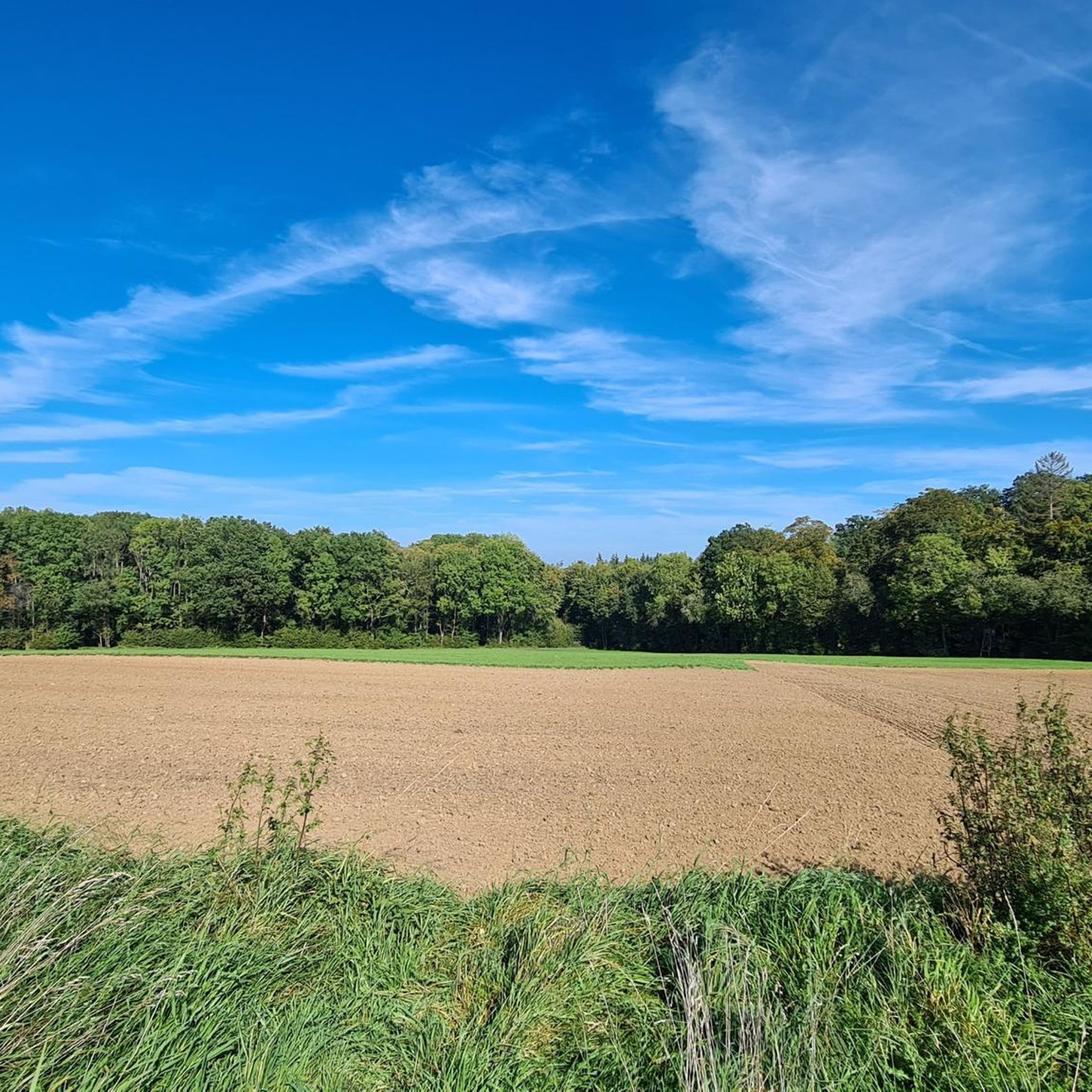
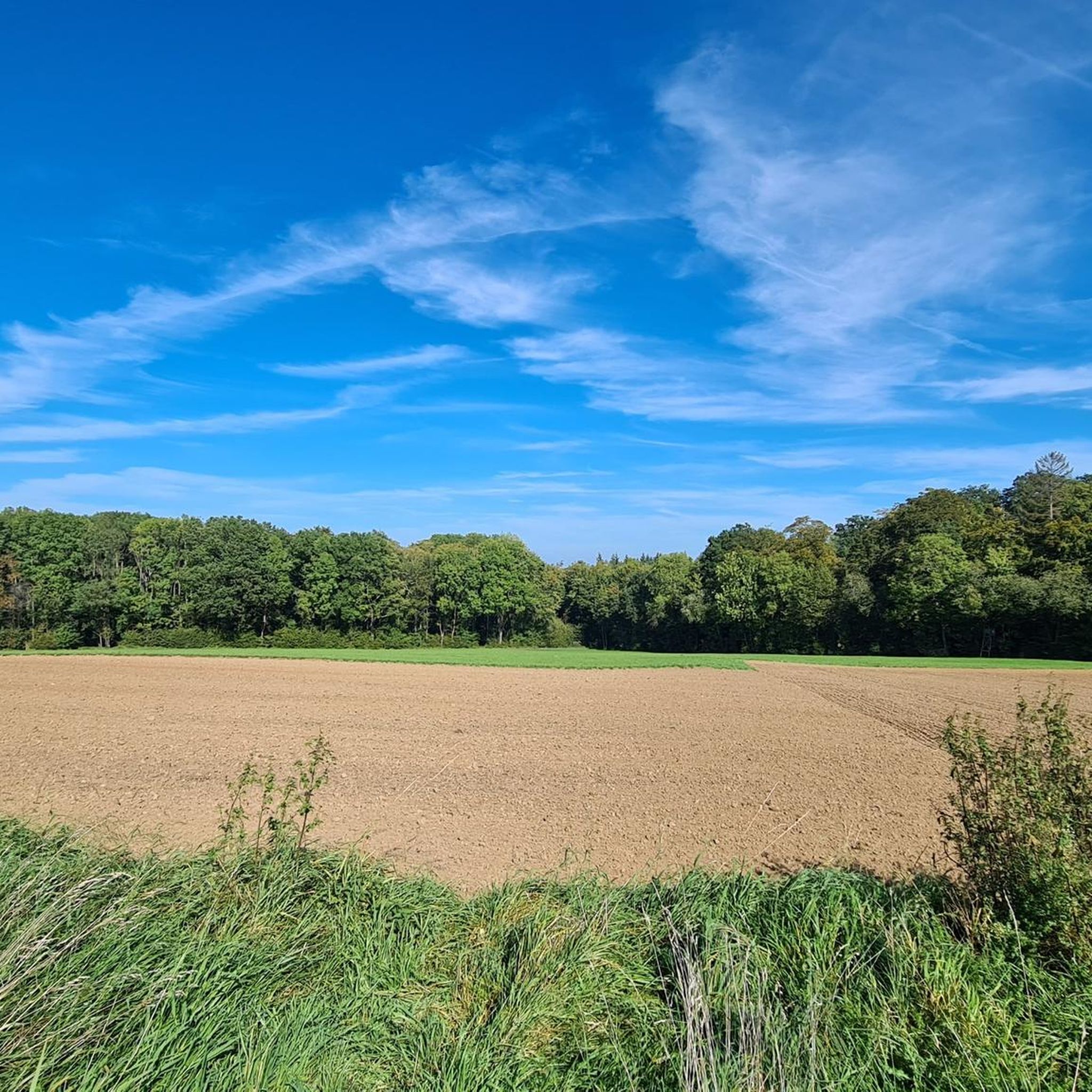
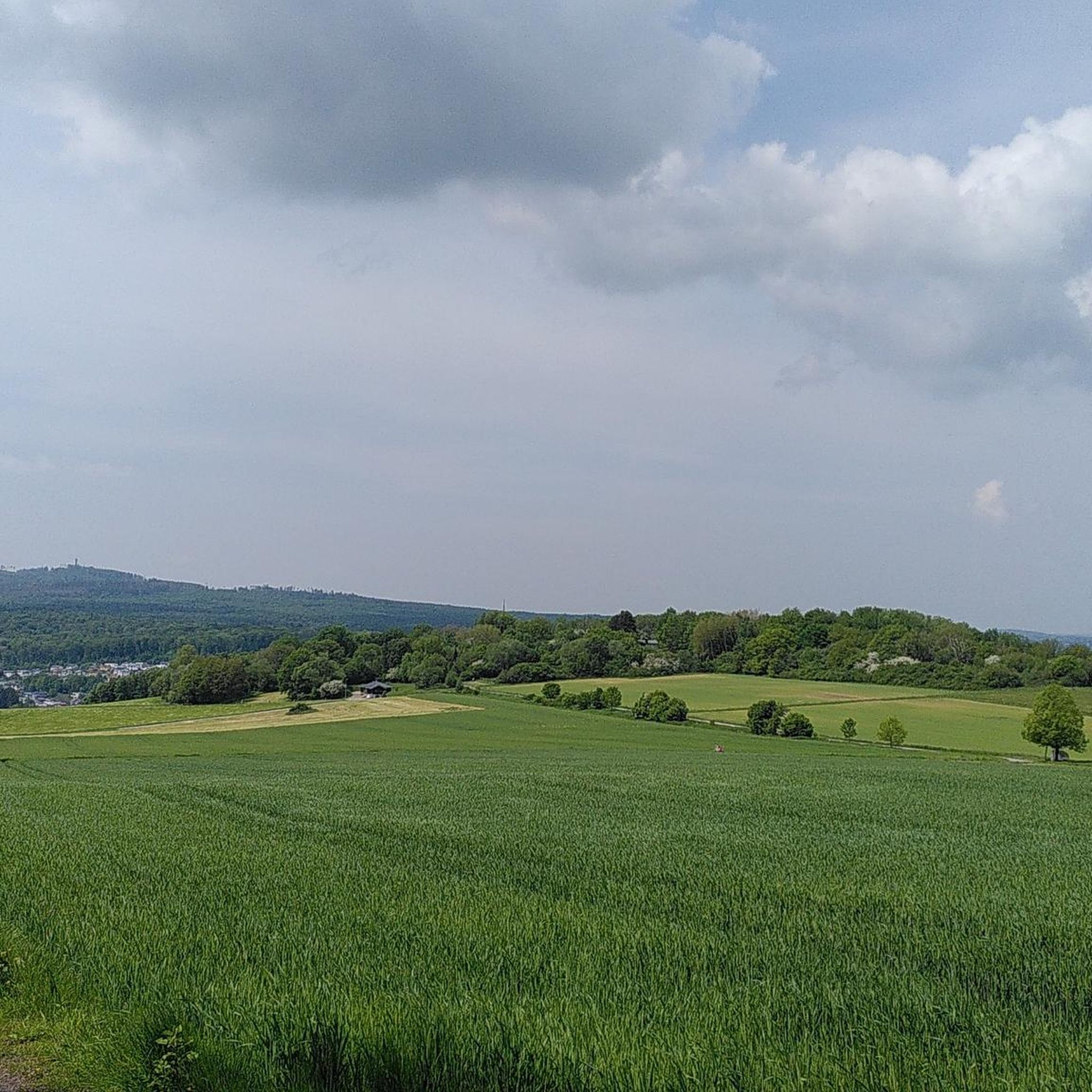
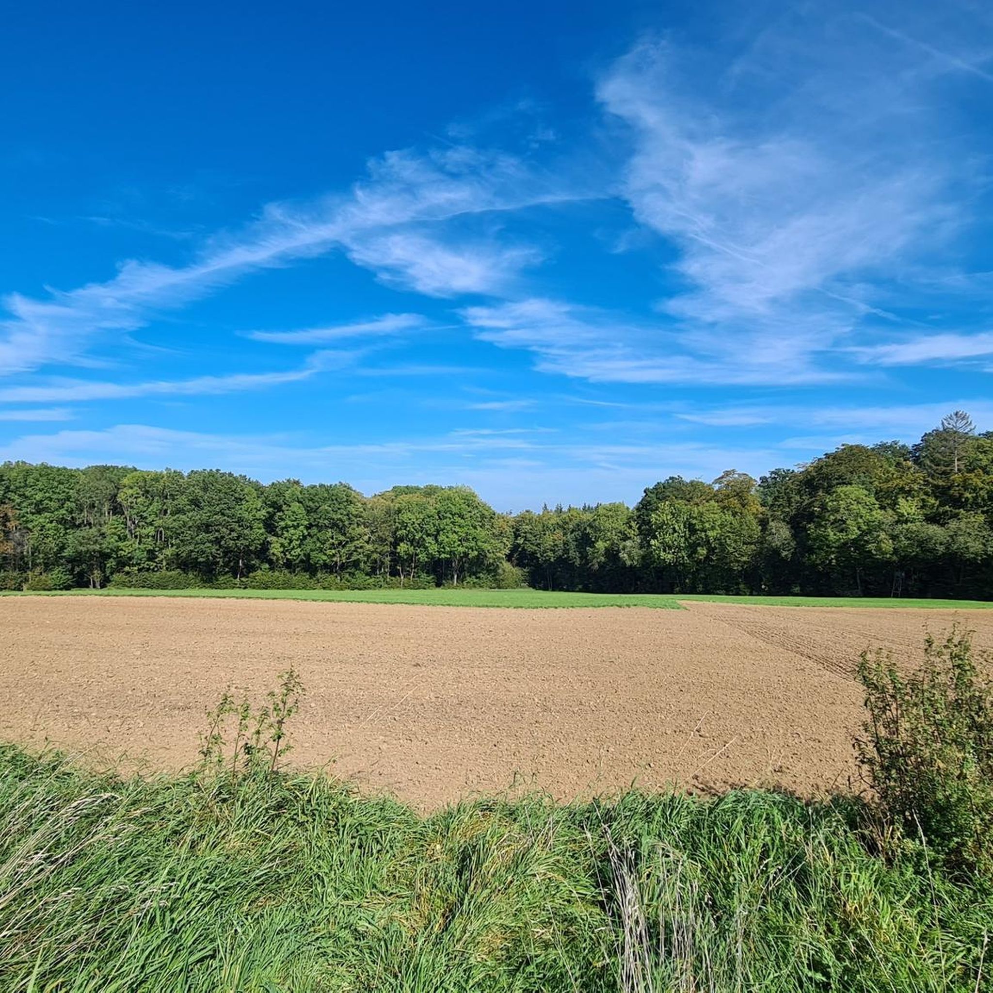

Tips from the Community

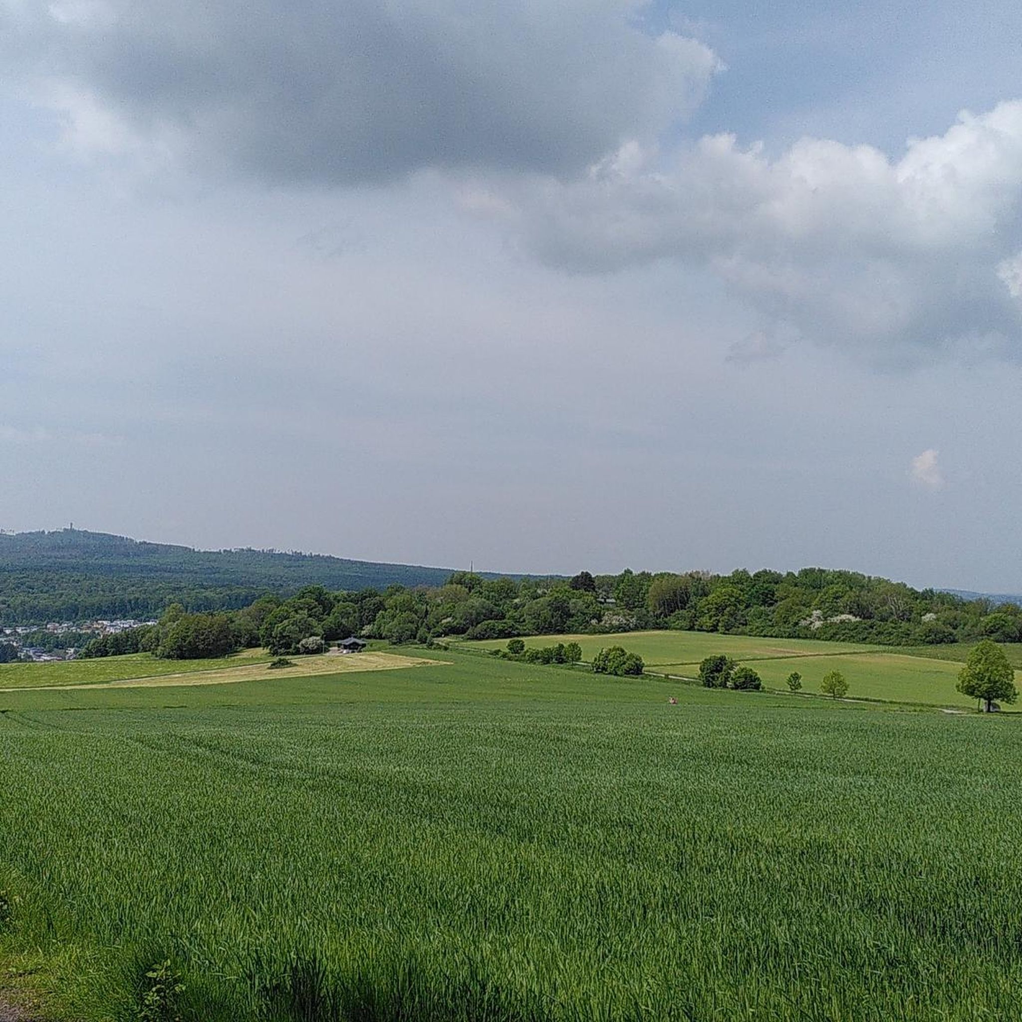
Today (05/15/2023) the peak has grown again. The stone comes from Schönborn.
1
0

Highest point in the Esterau, as the region around Holzappel is called. At the top there is a large pile of stones and a stone, although I'm not sure whether this should be a boundary stone or a "summit stone" ...?
1
0

The highest! At 443 meters, it is the highest point in the Diez area and the surrounding area.
3
0


Nice MTB destination. A little further down from the path you now have a nice view.
2
0

A beautiful bike path leads past and you have a beautiful view as the forests have now fallen victim to the bark beetle🥴
7
0

Super nice area for mountain biking and walking.
5
0

At 545 m, the highest point in the Montabaurer Höhe. The name comes from an optical signaling system that French soldiers built up there in 1809. Edit 08/22: A place of worship with a cross and benches has been set up nearby. Nice view from there.
8
1
Frequently Asked Questions
What are some popular viewpoints around Untershausen?
Visitors frequently enjoy the Köppel Observation Tower, which offers expansive views of the Westerwald, including distant sights like the Gr. Feldberg and Siebengebirge. Another favorite is the Hohe Lay Viewpoint, known for its scenic rock formations and beautiful views over the Lahn Valley.
Are there any significant summits or higher peaks in the broader Westerwald region?
While Untershausen itself is characterized by picturesque hills, the broader Westerwald region offers more prominent elevations. Notable peaks include the Alarmstange (545 m), which is the highest point of the Montabaurer Höhe and features a telecommunications tower with wide vistas. The highest elevation in the entire Westerwald is Fuchskaute, at 657 meters, known for its expansive views and nature reserve.
What kind of terrain can I expect when hiking near Untershausen?
The immediate vicinity of Untershausen features tranquil, hilly natural surroundings, ideal for relaxed hikes. The terrain generally consists of picturesque hills, dense forests, clear rivers, and gentle valleys. For those seeking more challenging ascents, the higher peaks in the broader Westerwald region offer more traditional mountain-like experiences.
Are there family-friendly options for exploring the peaks and hills around Untershausen?
Yes, the tranquil, hilly natural surroundings of Untershausen are well-suited for family outings. Many trails are considered moderate or easy, making them accessible for various fitness levels. While specific 'family-friendly' categories aren't always tagged, the general character of the landscape lends itself to enjoyable walks for all ages.
What outdoor activities can I do near the peaks around Untershausen?
The region offers a variety of outdoor activities. You can find numerous routes for hiking, cycling, and road cycling. For hiking, explore trails like the Elberthöhen (Elber Heights) Wäller Tour. Cycling enthusiasts can enjoy routes such as the Köppel Tower and Köppel Hut loop. You can find more detailed route information in the Hiking around Untershausen and Cycling around Untershausen guides.
What do visitors particularly enjoy about the mountain peaks and viewpoints in this area?
Visitors frequently praise the stunning panoramic views, especially from spots like the Köppel Observation Tower. Many appreciate the beautiful bike paths and hiking trails that lead to these elevated points, as well as the serene natural environment. The Malberg summit is noted for its awesome scenery and varied history.
Are there any historical or cultural sites associated with the peaks or hills?
Yes, for example, the Malberg summit and Wildweiberhäuschen ("Wild Women’s Hut") rock formation is considered a historically significant site with a varied history. While not directly on a peak, the Hohe Lay Viewpoint offers views of historical landmarks like Arnstein Monastery and Langenau Castle in the Lahn Valley.
When is the best time to visit the peaks and hills around Untershausen?
The region is beautiful year-round, but spring and autumn offer particularly pleasant temperatures for hiking and cycling, with vibrant foliage or blooming landscapes. Summer is also popular, though it can be warmer. Winter hiking is possible, especially on lower hills, but higher elevations might require appropriate gear for snow or ice.
Are there any hidden gems or lesser-known spots to explore?
While popular spots like the Köppel Observation Tower are well-loved, exploring the numerous smaller hills and forest paths can reveal tranquil hidden spots. The Höchst Summit, for instance, is a quieter spot where you can enjoy counting pebbles and a peaceful atmosphere.
Can I find cafes or accommodation near the hiking trails?
While specific cafes directly on every trail are not guaranteed, the region has villages and towns like Untershausen itself where you can find local amenities. The Köppelhütte near the Köppel Observation Tower is known for its rustic charm and delicious food. For accommodation, you would typically look in the surrounding communities within the Westerwaldkreis district.
What is the highest point directly within the immediate vicinity of Untershausen?
Untershausen itself is situated at an elevation of approximately 335 to 339 meters above sea level. The immediate surroundings are characterized by hills rather than distinct, named mountain peaks. For higher elevations, you would need to venture into the broader Westerwald region.
Are there circular hiking routes available around the peaks?
Yes, many of the hiking and cycling routes in the region are designed as circular tours, allowing you to start and end at the same point. For example, the 'Elberthöhen (Elber Heights) Wäller Tour' is a popular moderate hiking route. You can explore various circular options in the Hiking around Untershausen guide.
Most popular routes around Untershausen
Most popular attractions around Untershausen

Get inspired with the komoot mobile app


Explore more
See even more amazing summits around Untershausen with these guides:
