The 9 Most Amazing Peaks around Steinebach an der Wied
Mountain peaks around Steinebach an der Wied are characterized by rolling hills and dense forests within the Rhine-Westerwald Nature Park. The region features numerous elevated points that offer scenic views and opportunities for outdoor activities. The average altitude around Steinebach an der Wied is approximately 427 meters, with the municipality itself at about 378 meters above sea level. This landscape provides a network of hiking trails through its gentle mountain peaks and natural features.
Best mountain peaks around Steinebach an…
Last updated: May 14, 2026
Summit Cross and Tree of the Year Trail, Streithausen
Highlight • Summit
Translated by Google •
Tip by

Helleberg Observation Tower
Highlight • Viewpoint
Translated by Google •
Tip by

Sign up now to discover places like this
Get recommendations on the best single tracks, peaks, & plenty of other exciting outdoor places.
Sign up for free
Beilstein Basalt Summit with Gazebo
Highlight • Summit
Translated by Google •
Tip by

Gietzebeul Summit
Highlight • Summit
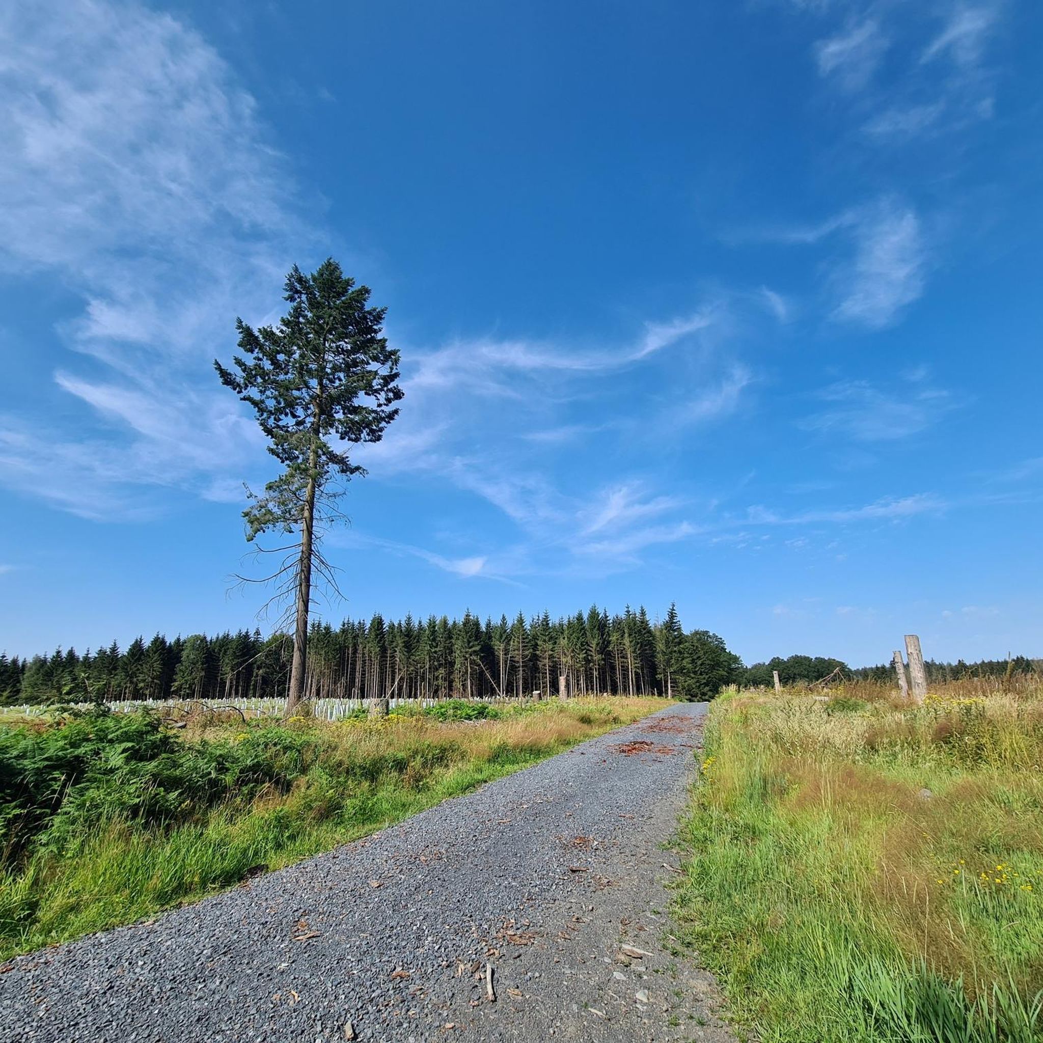
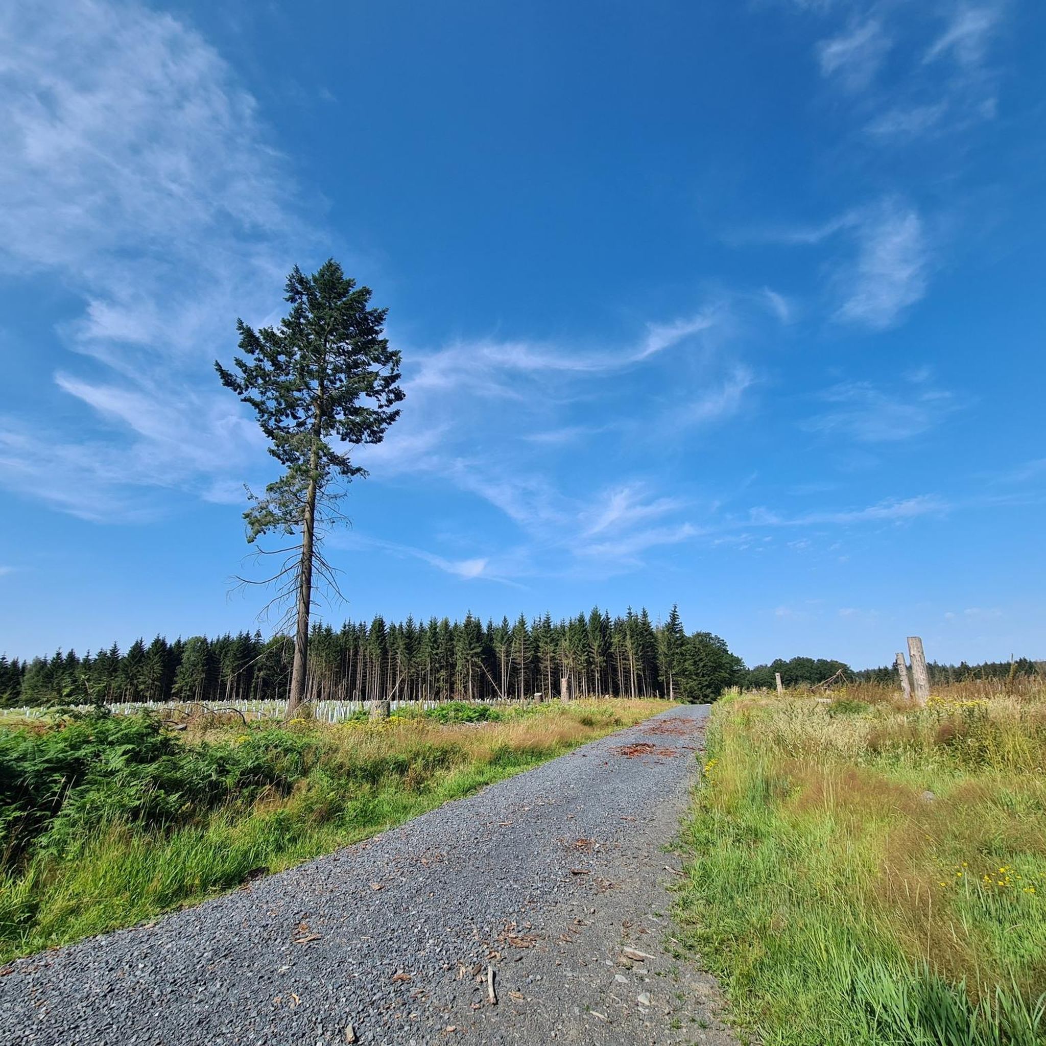
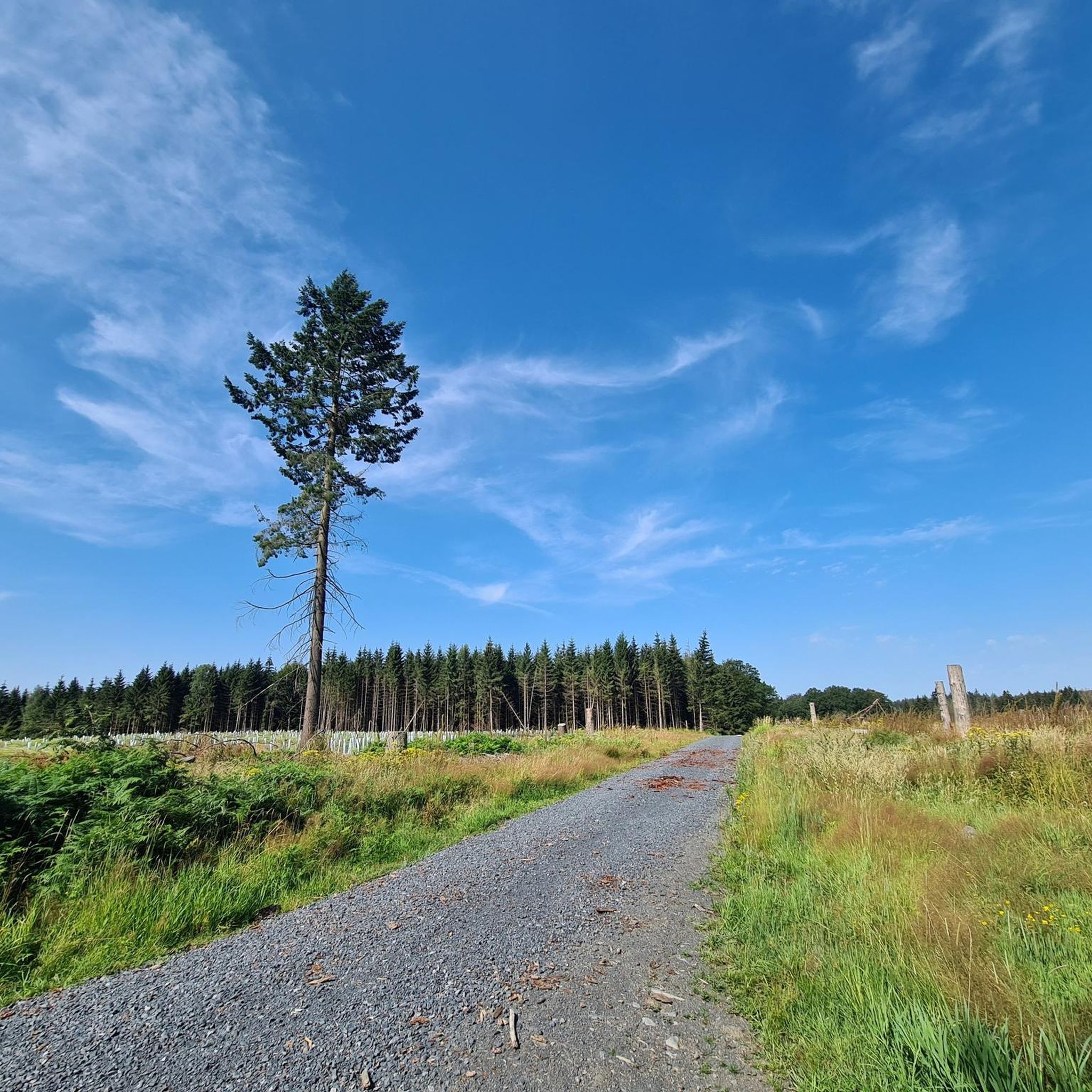
Except for the sign, there's nothing up here but nature.
Translated by Google •
Tip by

Weißer Stein (Highest Point in Lochum)
Highlight • Summit
Translated by Google •
Tip by

Sign up for free to discover even more peaks around Steinebach an der Wied.
Sign up for free
Already have an account?
Start today with a free account
Your next adventure awaits.
Login or Signup
Popular around Steinebach an der Wied
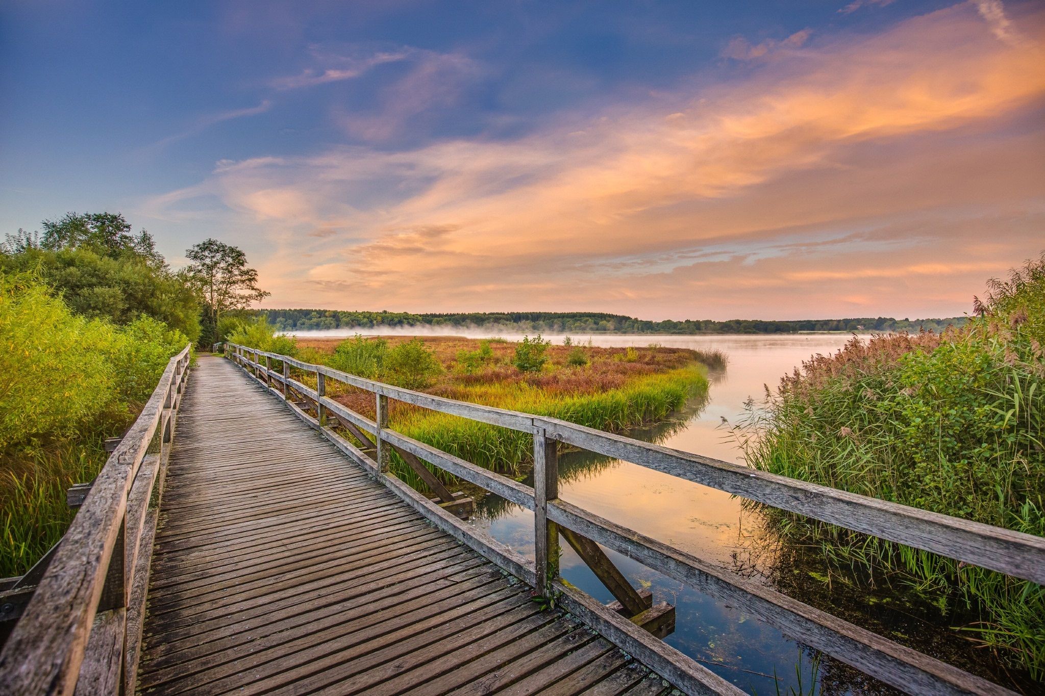
Along rivers and lakes — Germany’s Westerwald waterways
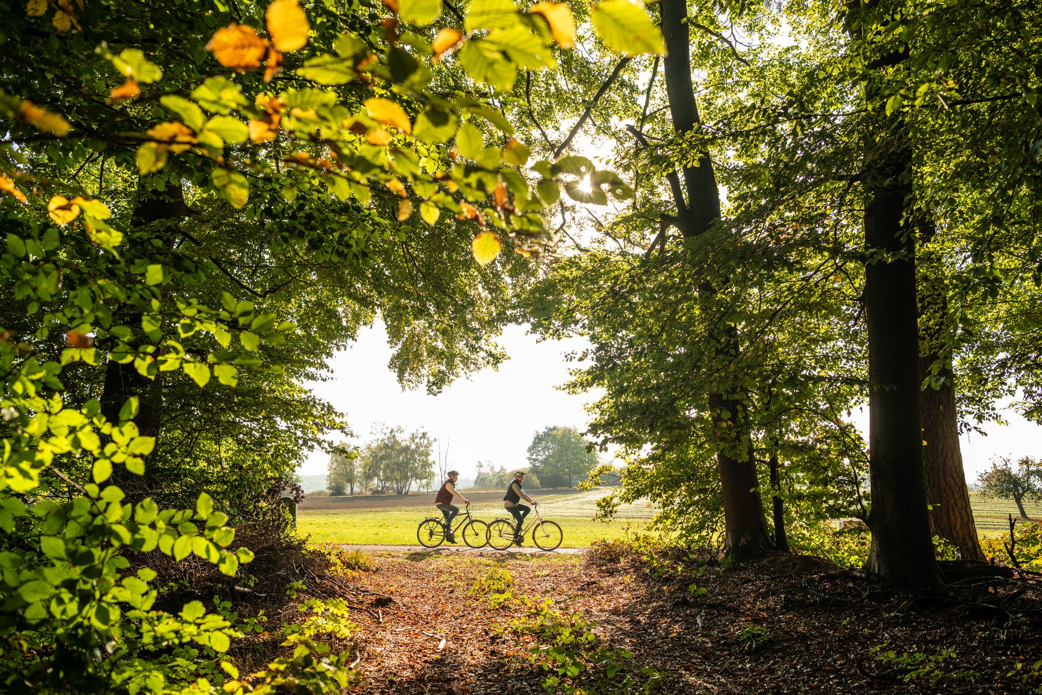
Riding in the Westerwald mountains – lonely paths and magnificent views
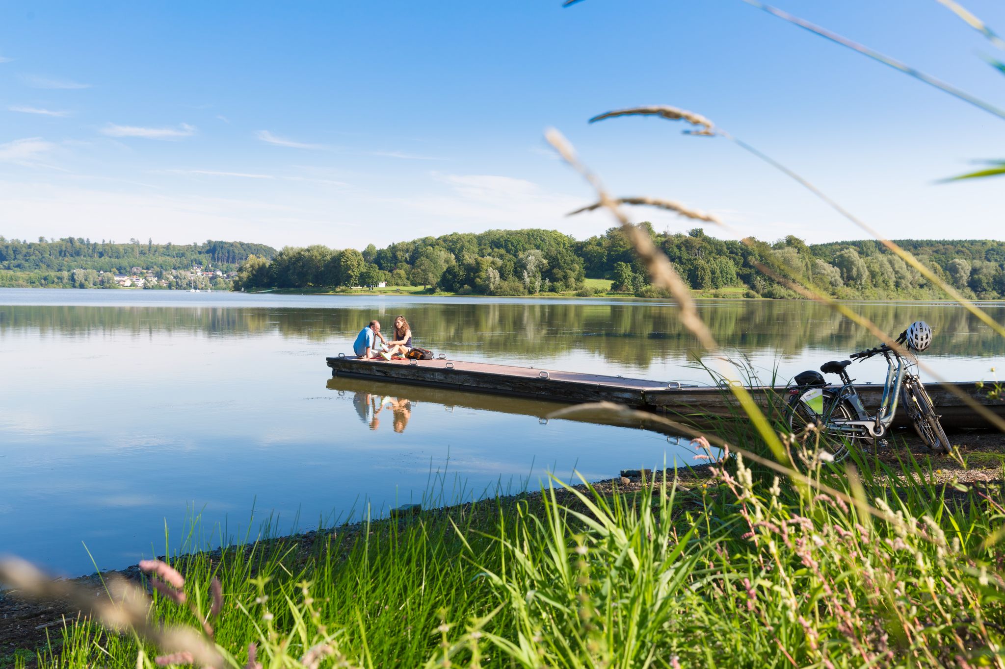
Die schönsten Tagestouren mit dem Rad im Westerwald

Hiking around Steinebach an der Wied
Cycling around Steinebach an der Wied
Road Cycling Routes around Steinebach an der Wied
MTB Trails around Steinebach an der Wied
Running Trails around Steinebach an der Wied
Gravel biking around Steinebach an der Wied
Other adventures around Steinebach an der Wied

Tips from the Community

A sign on a gravel path.
1
0

Nice way to hike or ride on the MTB
1
0
The spruces are almost all gone, the deciduous trees are still standing. Except for the sign, there's nothing up here but nature.
3
1

Above Streithausen there is a cross, a "Tree of the Year Park" circular path and an "Eco TV" which offers a view of Streithausen.
2
0

The summit cross seen from afar.
2
0
This place "White Stone" or this sign marks the highest elevation in the district of Lochum (509.8 m).
2
0
This striking tower offers an amazing view from above - weather permitting.
4
0

Nice rest area and wonderful view.
5
0
Frequently Asked Questions
What kind of mountain peaks can I expect to find around Steinebach an der Wied?
The region around Steinebach an der Wied is characterized by rolling hills and dense forests within the Rhine-Westerwald Nature Park. Instead of dramatic, towering peaks, you'll find numerous elevated points and gentle summits that offer scenic views and opportunities for outdoor activities. The landscape is ideal for hiking through varied natural settings.
Are there any notable viewpoints or observation towers in the area?
Yes, the Helleberg Observation Tower is a popular spot. It stands at 490 meters above sea level and offers a panoramic view of the entire Westerwald Lake District from its top platform, which is accessible via 160 steps.
What is the highest point around Steinebach an der Wied?
The highest elevation in the district of Lochum, near Steinebach an der Wied, is marked by the Weißer Stein, reaching 509.8 meters above sea level. While not a dramatic peak, it signifies a prominent elevated point in the local landscape.
Are there family-friendly mountain peaks or trails suitable for children?
Absolutely. The Summit Cross and Tree of the Year Trail, Streithausen is a great option. It features a viewpoint and a trail where trees are planted for newborns, making it a unique and engaging experience for families. The Helleberg Observation Tower is also considered family-friendly.
What unique natural features can I discover on these peaks?
You can explore interesting geological formations like the Beilstein Basalt Summit with Gazebo. This basalt formation provides panoramic views from 450 meters above sea level across the Westerwald up to the Taunus, showcasing the region's typical basalt kuppen.
What do visitors enjoy most about the mountain peaks and elevated points in this region?
Visitors particularly appreciate the tranquil beauty of the Westerwald, the well-signposted hiking trails, and the expansive panoramic views from various elevated points. The collective experience of the forested landscape and opportunities for outdoor recreation are highly valued.
What outdoor activities can I do near the mountain peaks around Steinebach an der Wied?
The area offers a variety of outdoor activities. You can find numerous routes for cycling, road cycling, and running. These trails often lead through forests, meadows, and around the Westerwald Lake Plateau, providing diverse scenery.
Are there specific hiking trails recommended for exploring the elevated areas?
While specific named hiking trails for individual peaks aren't detailed in the highlights, the region is known for its extensive network of well-signposted hiking trails that lead through varied natural landscapes. These trails connect many of the elevated points and offer opportunities to experience the tranquil beauty of the Westerwald.
Is there a summit that offers a pure nature experience without many man-made structures?
Yes, the Gietzebeul Summit is known for its natural setting. While some spruces have been affected by drought and bark beetles, it remains a place where you can find little else but nature, apart from a sign marking the summit.
What is the best time of year to visit the mountain peaks around Steinebach an der Wied?
The region's rolling hills and dense forests are beautiful throughout the year. Spring and autumn offer pleasant temperatures and vibrant colors, ideal for hiking. Summer is great for enjoying the outdoors, and even winter can be picturesque for those who enjoy snowy landscapes, though some paths might be more challenging.
Are there any historical or cultural landmarks associated with these peaks?
While the focus is primarily on natural beauty, the Summit Cross and Tree of the Year Trail, Streithausen incorporates a cultural element with its summit cross and the tradition of planting trees for newborns, creating a unique blend of nature and community heritage.
Most popular routes around Steinebach an der Wied
Most popular attractions around Steinebach an der Wied

Get inspired with the komoot mobile app


Explore more
See even more amazing summits around Steinebach an der Wied with these guides:
