The best walks and hikes around Kranichfeld
4.5
(472)
1,657
hikers
119
hikes
Hiking around Kranichfeld offers diverse landscapes and historical attractions within the Thuringian countryside. The region is characterized by the scenic Ilm Valley, where the Ilm River flows, and notable limestone cliffs. The Hohenfelden Reservoir provides water views, while the Kranichberg hill, home to the Upper Castle, offers elevated perspectives over the Mittleres Ilmtal. These features combine to create varied hiking terrain.
Best hiking trails around Kranichfeld
- The most popular hiking route is View of the Niederburg in Kranichfeld – Hohenfelden…
Last updated: August 20, 2026
4.6
(79)
268
hikers
Moderate hike. Good fitness required. Easily-accessible paths. Suitable for all skill levels.
4.8
(36)
117
hikers
8.08km
02:14
130m
130m
Moderate hike. Good fitness required. Easily-accessible paths. Suitable for all skill levels.

Sign up for free
4.6
(27)
78
hikers
15.0km
04:11
270m
270m
Moderate hike. Good fitness required. Easily-accessible paths. Suitable for all skill levels.
4.5
(15)
42
hikers
9.78km
02:43
170m
170m
Moderate hike. Good fitness required. Easily-accessible paths. Suitable for all skill levels.
4.7
(15)
48
hikers
8.47km
02:20
140m
140m
Moderate hike. Good fitness required. Easily-accessible paths. Suitable for all skill levels.
Get access to more routes and recommendations from other explorers.
Sign up for free
Already have an account?
Our route recommendations are based on thousands of hikes, rides, and runs completed by other people on komoot.
Start today with a free account
Your next adventure awaits.
Login or Signup
Popular around Kranichfeld
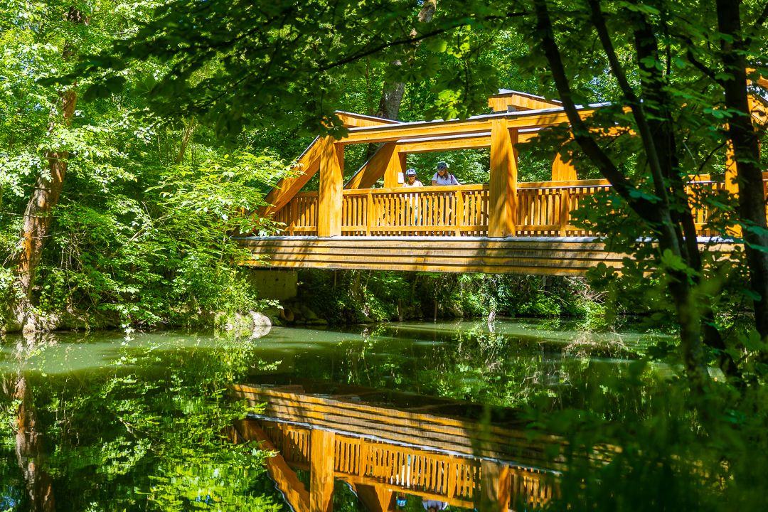
Ilm Valley cycle path – 4 stages through Thuringia
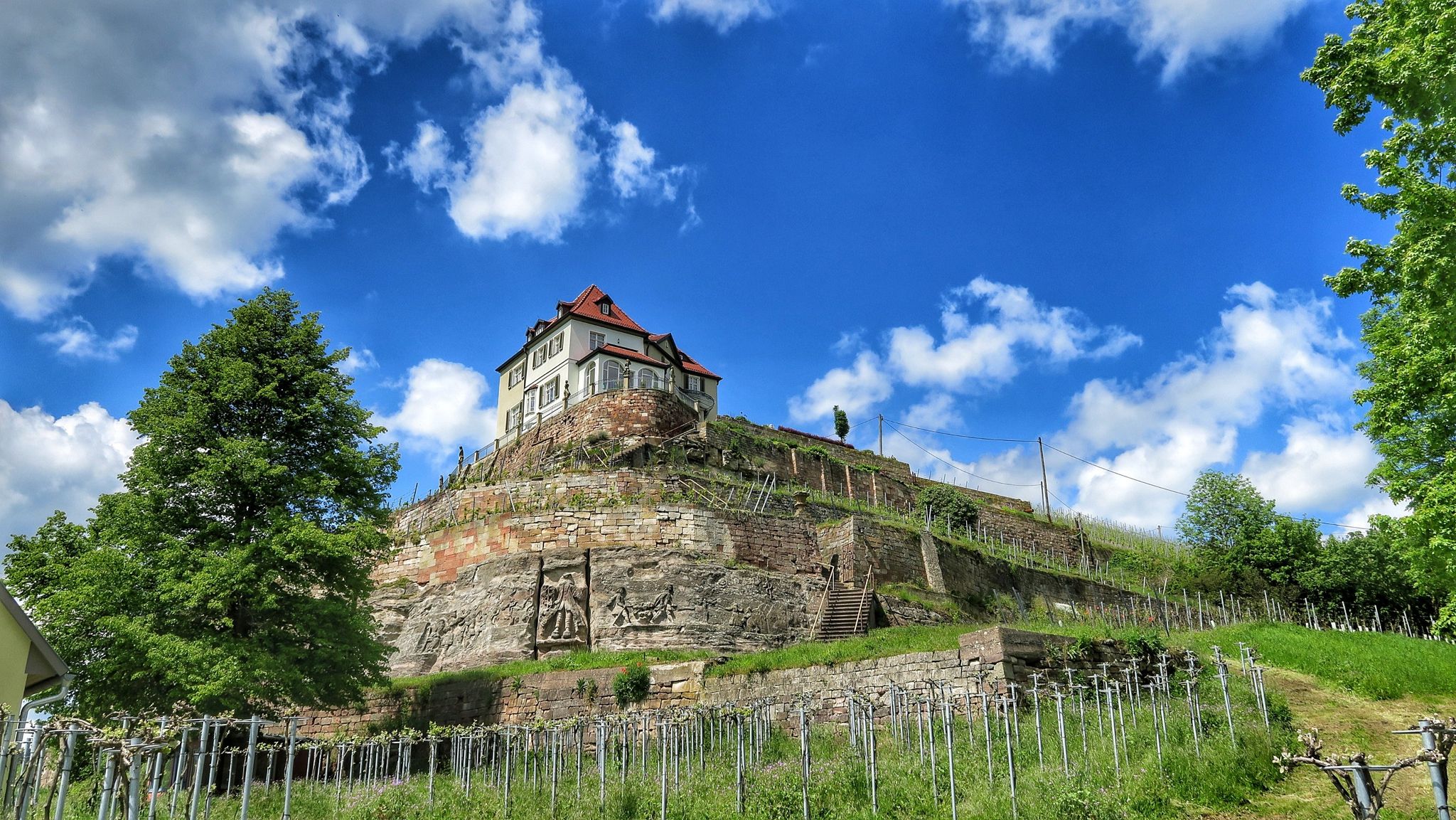
Ilmtal and Unstrut cycle paths – discover Thuringia in Germany by bike

Sommerfrische: Wanderungen mit Badepause – Erfurter Bahn
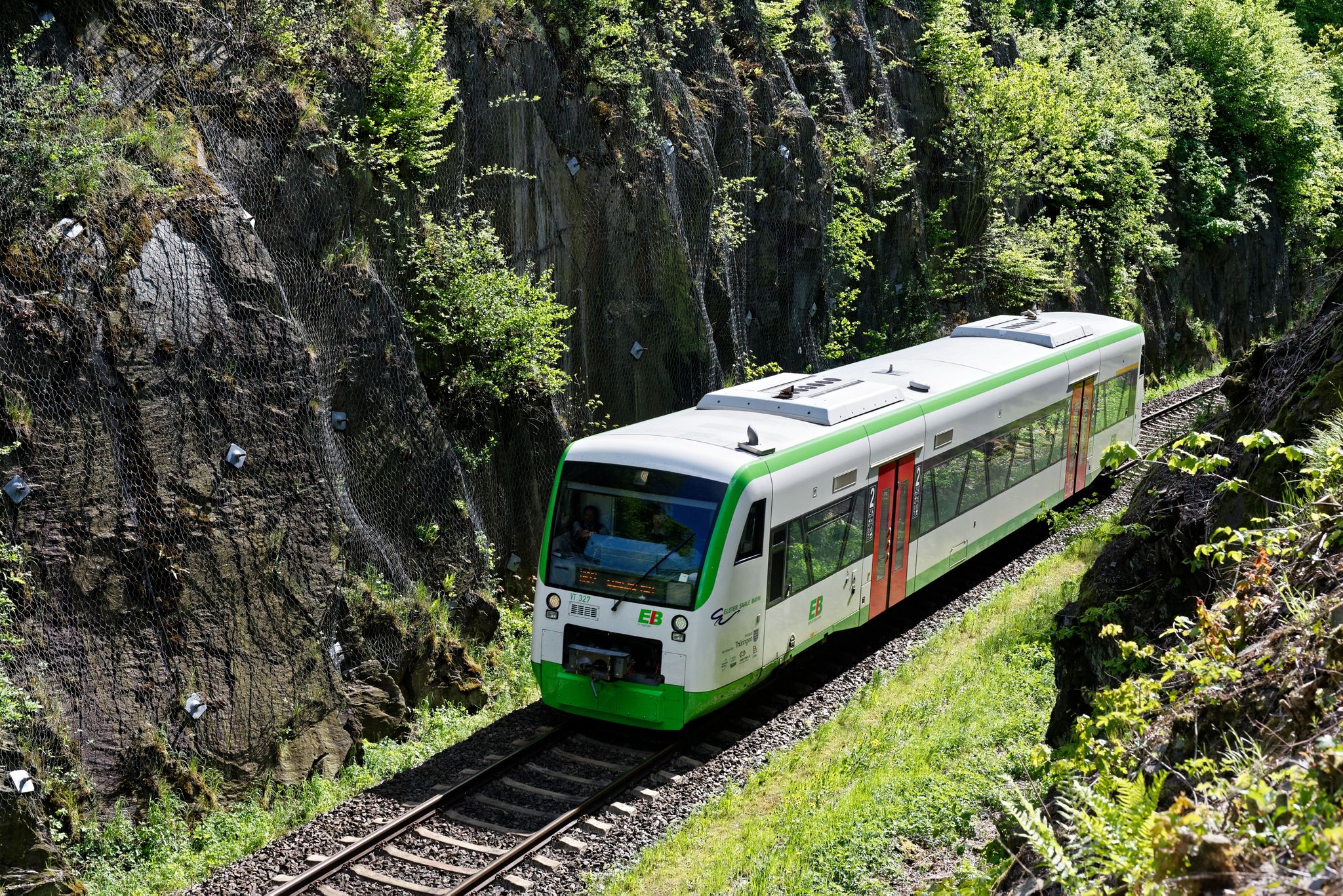
Nächster Halt: Natur – Wandern mit der Erfurter Bahn
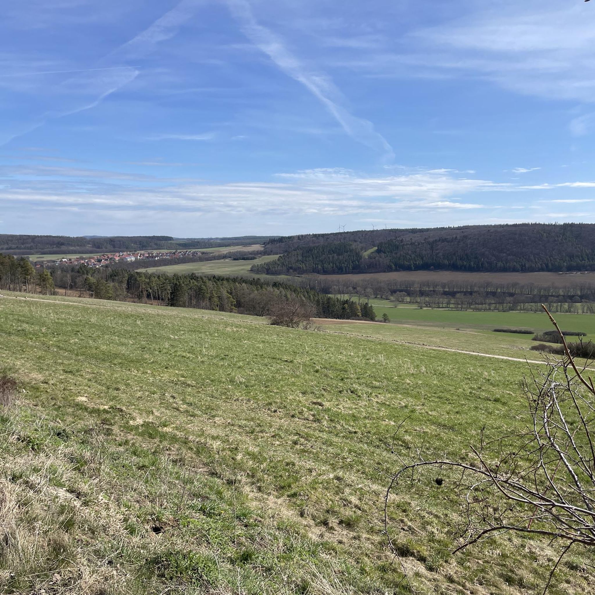
Cycling around Kranichfeld
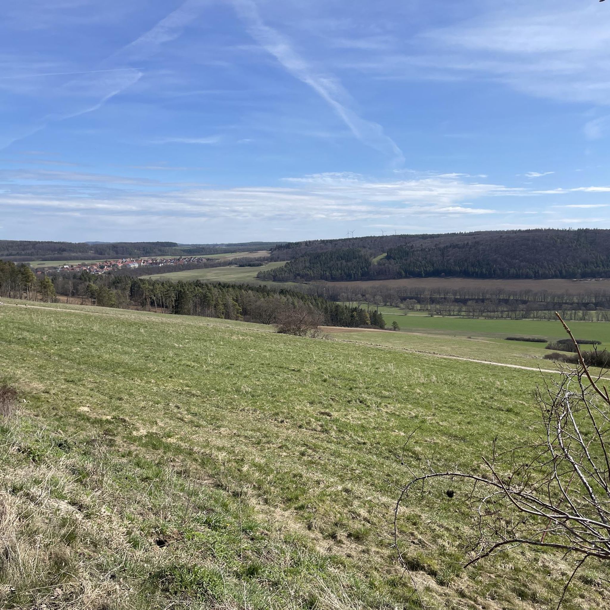
Road Cycling Routes around Kranichfeld
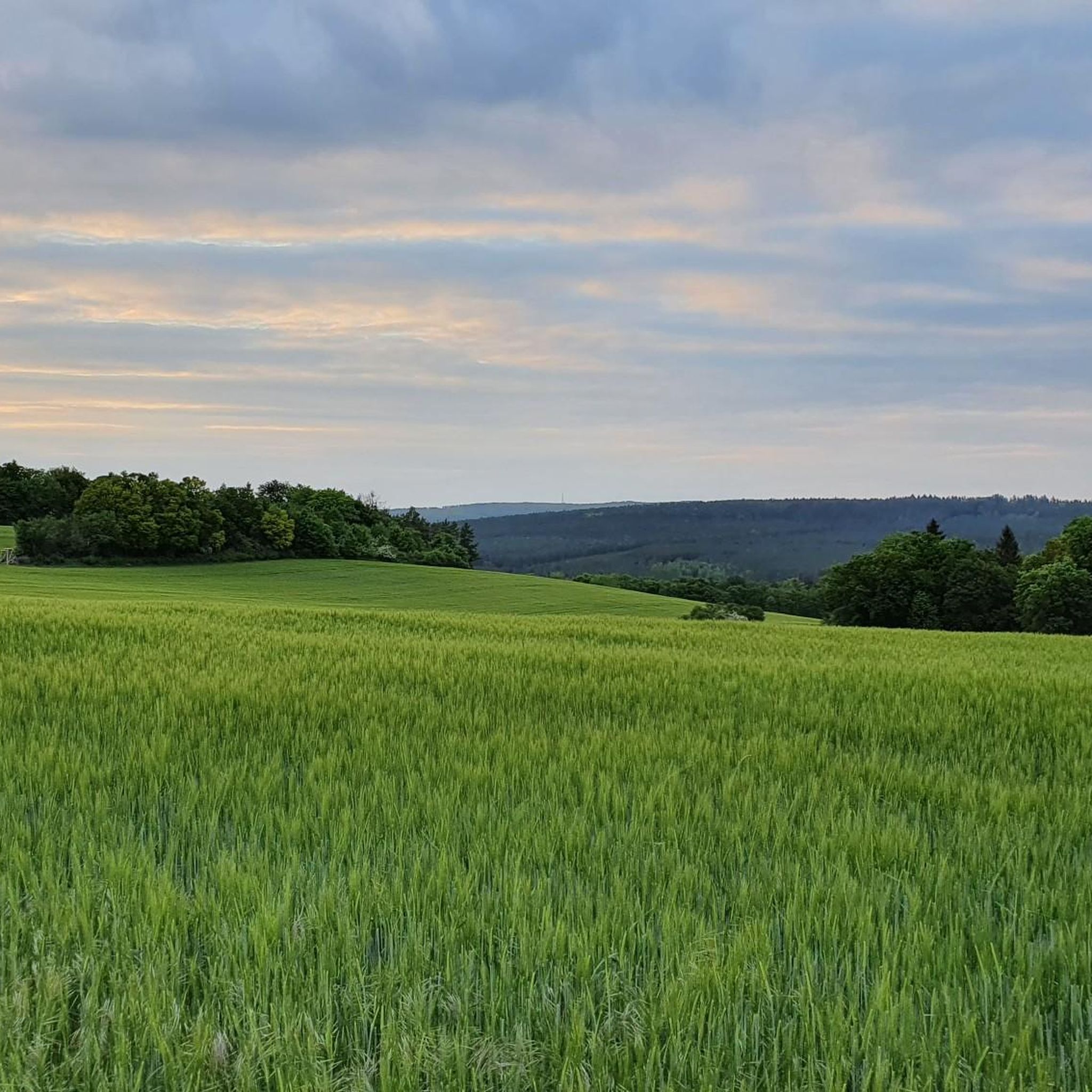
MTB Trails around Kranichfeld
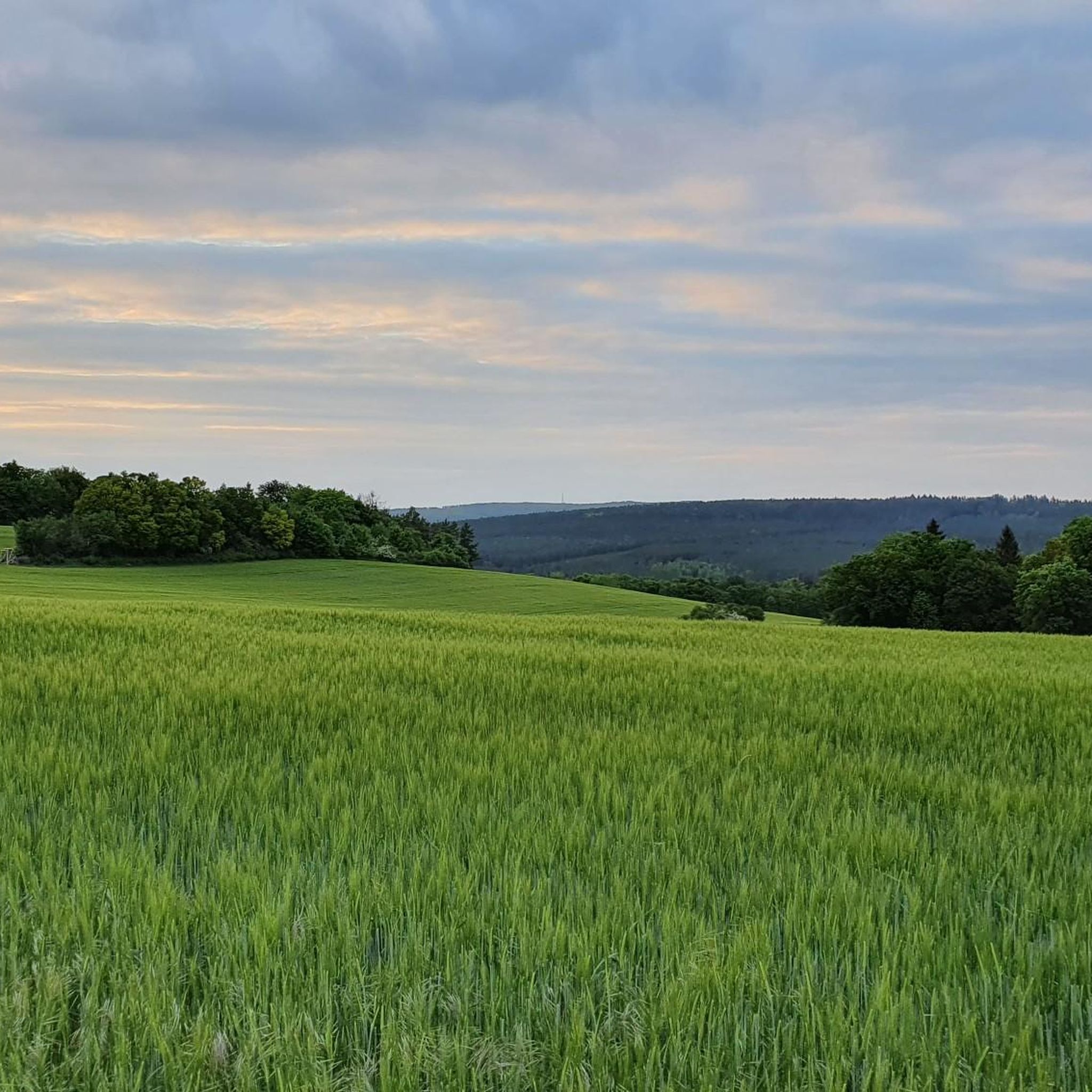
Running Trails around Kranichfeld
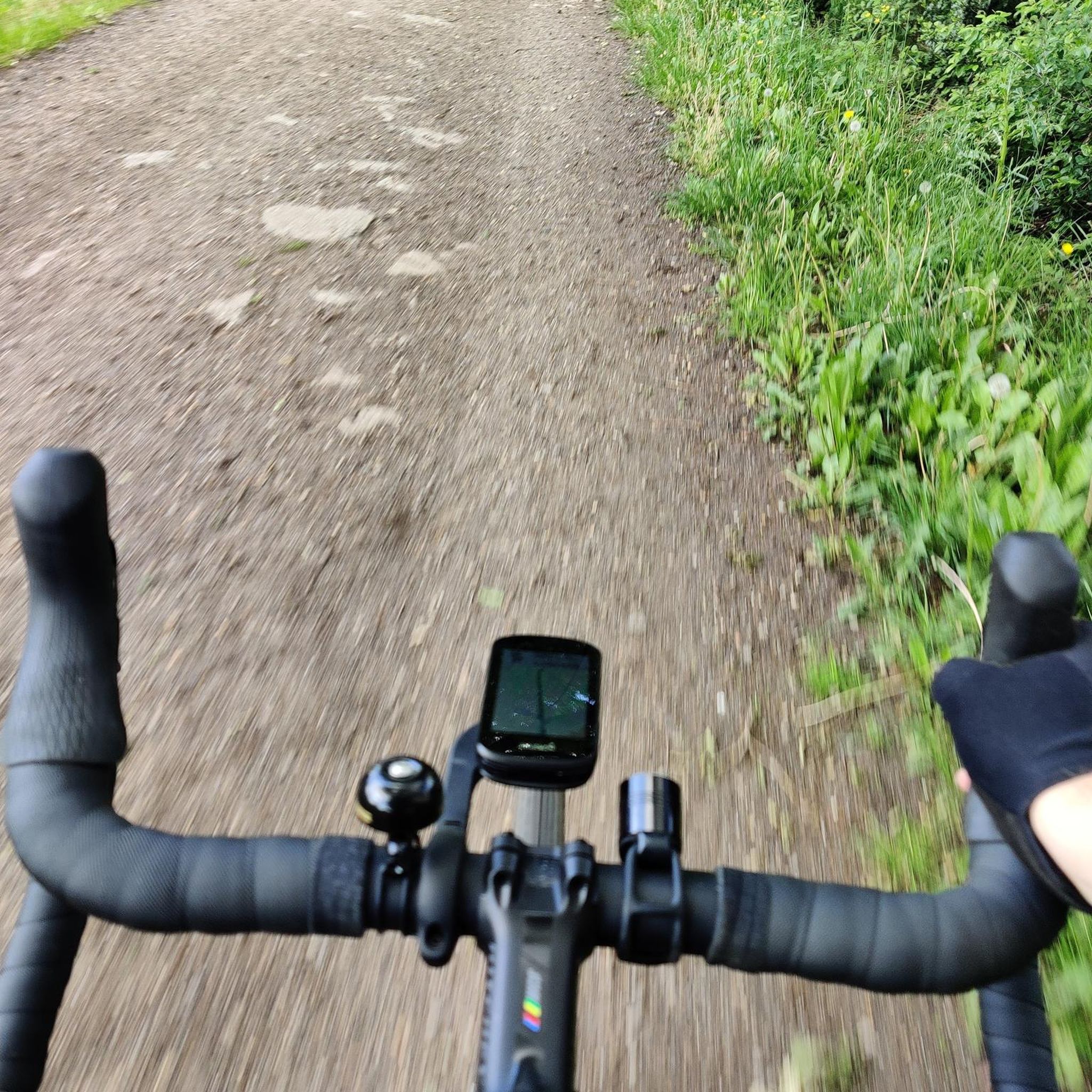
Gravel biking around Kranichfeld
Other adventures around Kranichfeld


Tips from the Community

Perfect for relaxing
0
0


From here you have a beautiful view of the lake
0
0

It's lovely to walk through the forest here.
0
0

A very beautiful sculpture right by the lake.
0
0

There are several works of art to admire along the shore. I particularly liked the nymph.
1
0
There are several works of art to admire along the shore. I particularly liked the mermaid sculpture.
1
0

Frequently Asked Questions
How many hiking trails are available around Kranichfeld?
Kranichfeld offers a wide variety of hiking opportunities, with over 120 routes available. These range from easy strolls to more challenging moderate hikes, ensuring options for different fitness levels.
What are the general difficulty levels of hikes in Kranichfeld?
The hiking trails around Kranichfeld cater to various abilities. You'll find approximately 58 easy routes, 59 moderate routes, and a few more challenging options, with 6 difficult trails. This diverse selection allows hikers to choose paths that match their experience and fitness.
What historical landmarks can I discover while hiking in Kranichfeld?
Kranichfeld is rich in history. Many trails lead to or pass by significant landmarks such as the Oberschloss Kranichfeld, a 12th-century Romanesque castle, and the Niederburg Kranichfeld, idyllically situated above the Ilm riverbed. You can also encounter the impressive Ilm Valley Viaduct (Stadtilm Viaduct), a 19th-century stone arch bridge, and the Paulinenturm observation tower, which offers panoramic views.
Are there any natural features or viewpoints to see on the trails?
Absolutely. The region boasts diverse natural beauty. You can explore striking Limestone Cliffs near Kranichfeld, which offer unique geological formations. The Hohenfelden Reservoir is a prominent feature, providing scenic water views, and the Kranichberg hill, where the Upper Castle stands, offers elevated perspectives over the Mittleres Ilmtal.
Are there circular hiking routes in Kranichfeld?
Yes, many of the trails around Kranichfeld are designed as circular routes, allowing you to start and end at the same point. An example is the moderate View of the Niederburg in Kranichfeld – Oberschloss Kranichfeld loop from Kranichfeld, which combines historical sights with scenic paths.
Can I find hikes with water views or along rivers?
The Ilm Valley is a central feature of the Kranichfeld landscape, offering numerous routes along the Ilm River. Additionally, the nearby Hohenfelden Reservoir is a focal point for several trails, providing beautiful water views and a different kind of natural scenery.
Are there family-friendly hiking options in Kranichfeld?
Kranichfeld offers many easy and accessible paths suitable for families with children. These trails often incorporate natural and historical highlights without being overly strenuous, making them perfect for a family outing. Look for routes marked as 'easy' for the most suitable options.
Are dogs allowed on the hiking trails in Kranichfeld?
Generally, dogs are welcome on the hiking trails in Kranichfeld. However, it's always advisable to keep them on a leash, especially in nature conservation areas or near wildlife, and to be mindful of other hikers and local regulations.
What do other hikers say about the trails in Kranichfeld?
The hiking routes in Kranichfeld are highly regarded by the komoot community, holding an impressive average rating of 4.6 stars from over 400 reviews. Hikers frequently praise the varied terrain, the combination of natural beauty and historical sites, and the well-maintained paths.
Where can I park when hiking in Kranichfeld?
Kranichfeld offers various parking options for hikers, particularly near popular trailheads and attractions like the castles or the Hohenfelden Reservoir. Specific parking availability can vary, so it's recommended to check local signage upon arrival or use navigation apps for designated parking areas.
How can I reach the hiking trailheads in Kranichfeld using public transport?
Kranichfeld is accessible by public transport, primarily via regional train and bus services. These connections can bring you close to the town center, from where many hiking trails are easily reachable on foot. It's best to consult local public transport schedules for the most current information on routes and timings to specific trailheads.
What is the best time of year to go hiking in Kranichfeld?
Kranichfeld offers enjoyable hiking experiences throughout much of the year. Spring brings blooming landscapes, while summer provides warm weather for longer excursions. Autumn is particularly scenic with vibrant fall foliage. Even in winter, some trails are suitable for crisp, clear walks, though conditions can vary.
Most popular routes around Kranichfeld
Most popular attractions around Kranichfeld

Get inspired with the komoot mobile app


Explore more
Browse the best Hikes in other regions.
