The 6 Most Amazing Peaks around Dannstadt-Schauernheim
Best mountain peaks around Dannstadt-Schauernheim are characterized by gentle hills and elevated viewpoints within the Upper Rhine Plain. The region, with an average elevation of approximately 103 meters, offers scenic vistas rather than towering mountains. These elevated points provide opportunities for leisurely walks, cycling, and appreciating the local landscape, including vineyards. The area offers natural beauty and recreational value through its hills and scenic viewpoints.
Best mountain peaks around Dannstadt-Schauernheim
- The most popular mountain peaks is Flag Tower, Bad Dürkheim…
Last updated: August 20, 2026
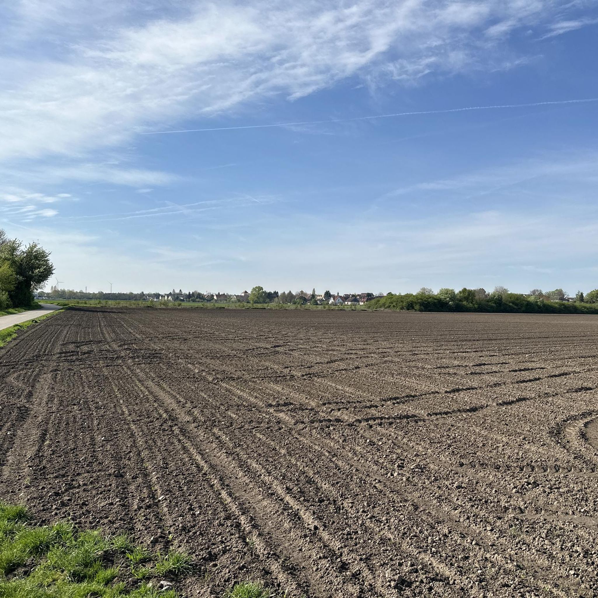
Pine Forest Trail to the Heidenlöcher
Highlight (Segment) • Trail
Translated by Google •
Tip by

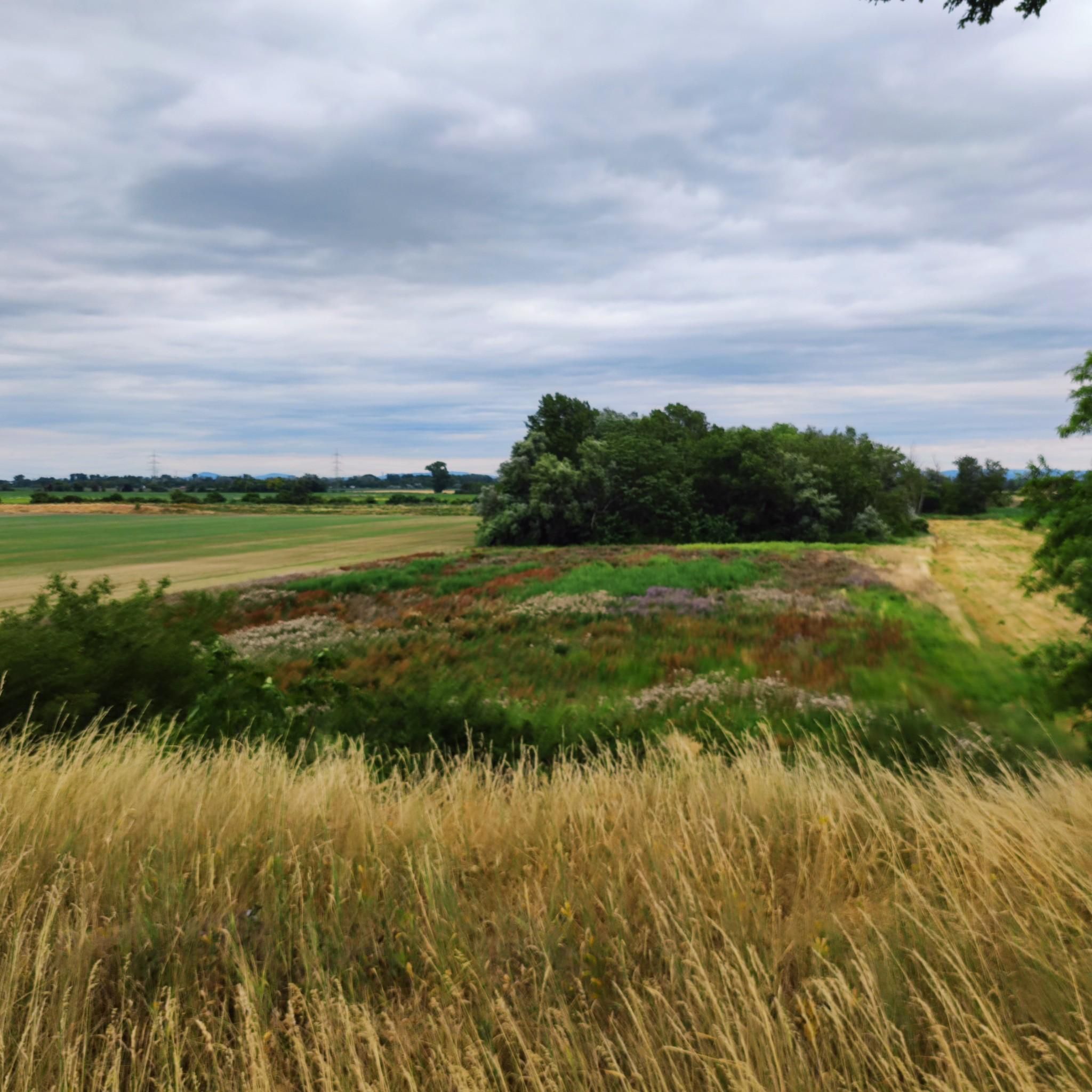
Michaelsberg (Ludwigshafen)
Highlight • Viewpoint
Translated by Google •
Tip by

Sign up now to discover places like this
Get recommendations on the best single tracks, peaks, & plenty of other exciting outdoor places.
Sign up for free
Machmeesberg (125 m) – Highest Point of Ludwigshafen
Highlight • Summit
Translated by Google •
Tip by
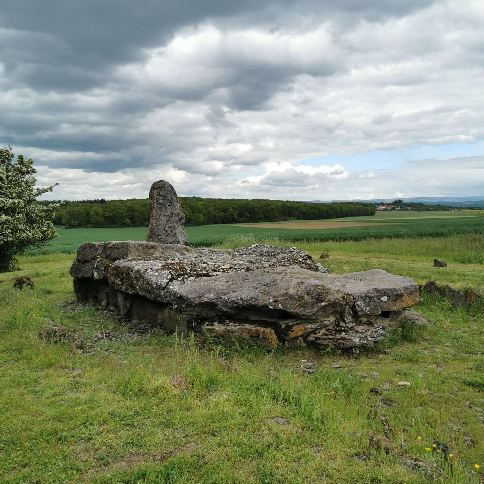
Gronau Water Castle Memorial
Highlight • Monument
Translated by Google •
Tip by

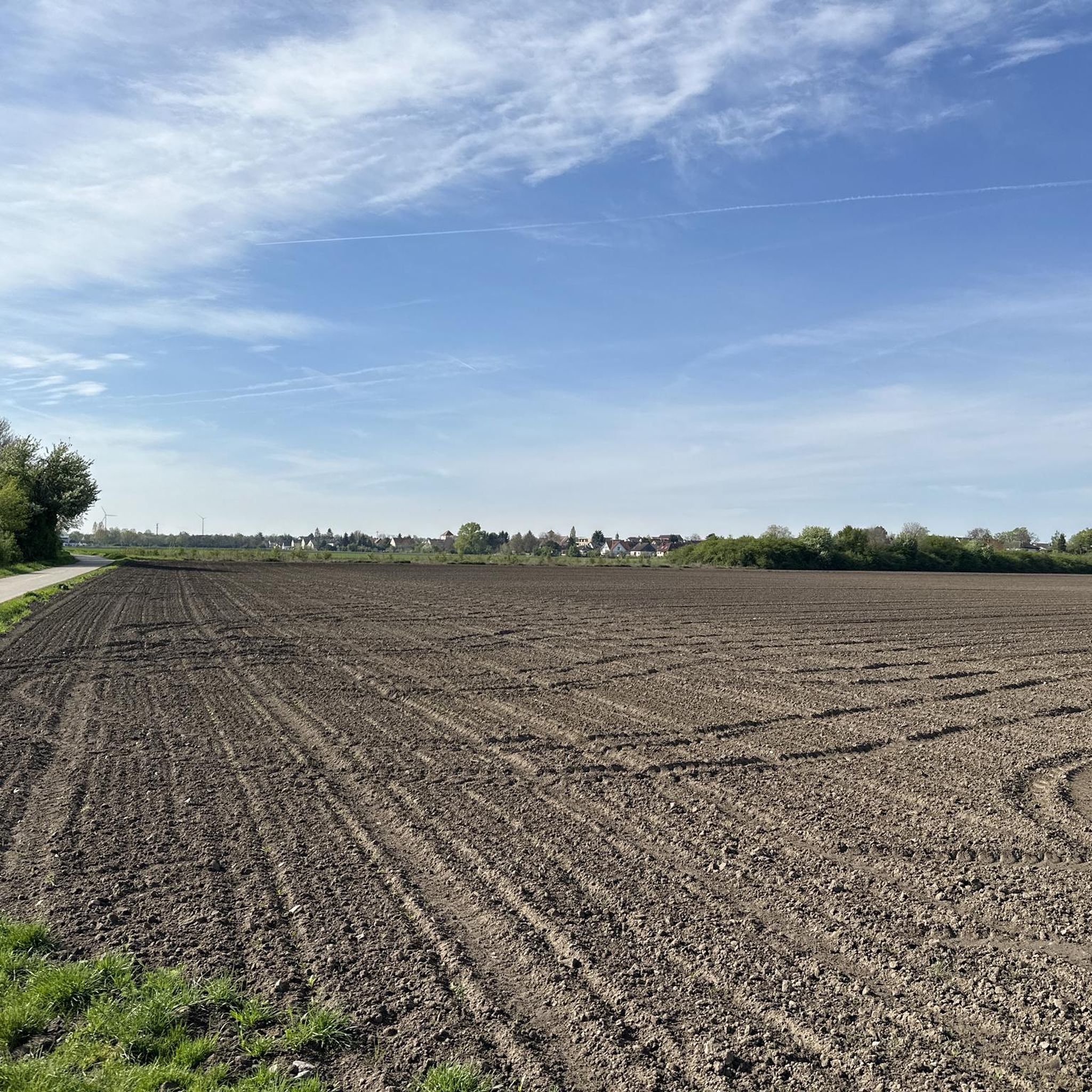
View from Monte Scherbelino
Highlight • Viewpoint
Translated by Google •
Tip by

Start today with a free account
Your next adventure awaits.
Login or Signup
Tips from the Community

A wonderful forest that reminded me in places of campsites in France. 🧑🌾
0
0

Monte Scherbelino is a small hill which, at 117m, is the highest elevation in Frankenthal.
0
0

A very nice piece of forest through the pine forest. Here I have peace for my soul. Beautiful forest floor and good air.
5
0

A great path to walk. However, it is not recommended for prams or the like. It's too much over hill and dale for that.
1
0

Just a great, very soft hiking trail
2
0

This is the access route to the Heidenlöchern, if you come from above (i.e. not from the Michaelskapelle). At the beginning you will find a large board (standing desk) with information about the Heidenlöchern and the entire area. - At the end of this passage (coming from above) you have beautiful views of the outer walls of the Heidenlöcher and you enter the Heidenlöcher through the main gate (formerly with a kennel; today with an information board).
6
0


The memorial stone is privately owned, access is permitted, unfortunately there is no bank to linger.
1
0
Frequently Asked Questions
What kind of 'mountain peaks' can I expect to find around Dannstadt-Schauernheim?
The region around Dannstadt-Schauernheim, located in the Upper Rhine Plain, is relatively flat. Instead of towering mountains, you'll find gentle hills and elevated viewpoints. These spots, often around 100-125 meters above sea level, offer scenic vistas of the surrounding landscape, including vineyards and the Rhine plain, perfect for leisurely walks and appreciating nature.
Which are the most popular elevated viewpoints in the area?
Among the most popular elevated viewpoints are the Flag Tower, Bad Dürkheim, known for its beautiful all-round view over the Rhine plain and Palatinate Forest. Another highly regarded spot is Michaelsberg (Ludwigshafen), which is the highest point of Ludwigshafen and offers views of the city and towards the Palatinate.
Are there any family-friendly elevated spots or trails near Dannstadt-Schauernheim?
Yes, several elevated spots are suitable for families. Michaelsberg (Ludwigshafen) and View from Monte Scherbelino are both considered family-friendly viewpoints, offering easy access and pleasant surroundings for a family outing. The gentle nature of the hills makes them accessible for all ages.
What historical sites or monuments can be found on these elevated points?
The Flag Tower, Bad Dürkheim, also known as 'Kaffeemühlchen', is a notable man-made monument and historical site offering panoramic views. Additionally, the Gronau Water Castle Memorial marks the former site of a moated castle, providing a glimpse into the region's past.
What outdoor activities can I do near these elevated points?
The area offers various outdoor activities, primarily focusing on cycling and hiking. You can find numerous routes for touring bicycles, such as the 'Bad Dürkheim Graduation Tower – Forest Pathway in Palatinate loop' or the 'Deidesheim City Park – Picnic Area by the Stream loop'. For hikers, there are easy trails like the 'Colorful Benches – Shaded Picnic Bench loop'. You can explore more options on the cycling guide and hiking guide for Dannstadt-Schauernheim.
Are there any challenging hikes or treks around Dannstadt-Schauernheim's elevated areas?
While the region is generally known for gentle hills, some routes offer a more challenging experience, particularly for gravel biking. For instance, the 'View of Wachtenburg Castle – Gimmeldingen Wine Village loop' is rated as difficult. For hiking, most trails are easy to moderate, focusing on scenic enjoyment rather than strenuous climbs. You can find more details in the gravel biking guide.
What kind of views can I expect from Monte Scherbelino?
From the View from Monte Scherbelino, which is the highest elevation in Frankenthal, you can enjoy clear views of Ludwigshafen and the BASF industrial complex. It's a great spot to observe the urban landscape against the backdrop of the Rhine plain.
What do visitors enjoy most about the elevated points around Dannstadt-Schauernheim?
Visitors particularly appreciate the panoramic views offered by these elevated points, especially over the Rhine plain and the Palatinate Forest. The peaceful atmosphere, opportunities for leisurely walks or cycling, and the chance to see local landmarks like the Flag Tower or the vineyards are frequently highlighted as enjoyable aspects.
Can I find trails suitable for dog walking near these viewpoints?
Yes, the numerous walking and hiking trails around Dannstadt-Schauernheim, including those leading to or around the elevated viewpoints, are generally dog-friendly. The gentle terrain makes them suitable for walks with your canine companion. Always ensure your dog is on a leash where required and respect local regulations.
What is the highest point in Ludwigshafen, and what does it offer?
The highest point in Ludwigshafen is Michaelsberg (Ludwigshafen), reaching 125 meters above sea level. It's a former rubble mountain in the Maudacher Bruch that provides excellent views of Ludwigshafen city, its suburbs, and extends towards the Palatinate region. It's a popular destination for short excursions on foot or by bike.
Are there any circular walks or routes that include these elevated points?
Yes, many of the hiking and cycling routes in the area are designed as loops, allowing you to experience the scenic viewpoints as part of a circular journey. For example, the 'Colorful Benches – Shaded Picnic Bench loop' is an easy hiking option. You can find various circular routes in the hiking guide and cycling guide for the region.
Most popular routes around Dannstadt-Schauernheim
Most popular attractions around Dannstadt-Schauernheim

Get inspired with the komoot mobile app


Explore more
See even more amazing summits around Dannstadt-Schauernheim with these guides:
