The 6 Most Amazing Peaks around Helmenzen
Best mountain peaks around Helmenzen are found within the rolling hills and forested landscapes of the Westerwald region. While Helmenzen itself is situated in an area of varied elevation, the surrounding countryside offers numerous elevated points suitable for hiking. A notable destination is the Beulskopf, which features the Raiffeisen Tower, providing a vantage point over the region. The area is characterized by a mix of hills and high points, offering diverse hiking experiences.
Best mountain peaks around Helmenzen
- The most…
Last updated: June 26, 2026
Raiffeisen Tower on Beulskopf
Highlight • Viewpoint
Translated by Google •
Tip by

Hohenschauberg (389 m)
Highlight • Summit
Translated by Google •
Tip by

Sign up now to discover places like this
Get recommendations on the best single tracks, peaks, & plenty of other exciting outdoor places.
Sign up for free
Hoher Schaden
Highlight • Summit
Translated by Google •
Tip by

Studchen Summit Viewpoint (311 m)
Highlight • Viewpoint
Translated by Google •
Tip by

View of the Siebengebirge from Keuenhofer Wiesen
Highlight • Viewpoint
Translated by Google •
Tip by

Sign up for free to discover even more peaks around Helmenzen.
Sign up for free
Already have an account?
Start today with a free account
Your next adventure awaits.
Login or Signup
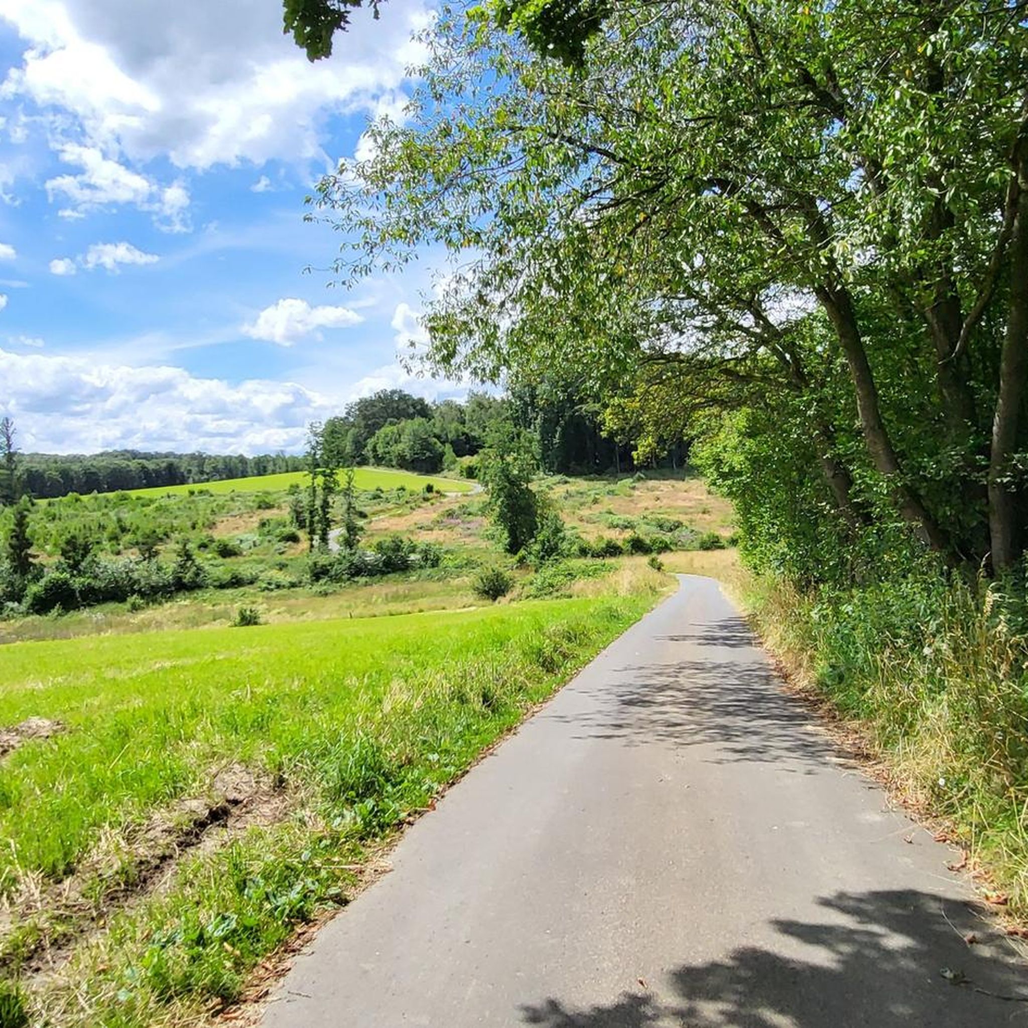
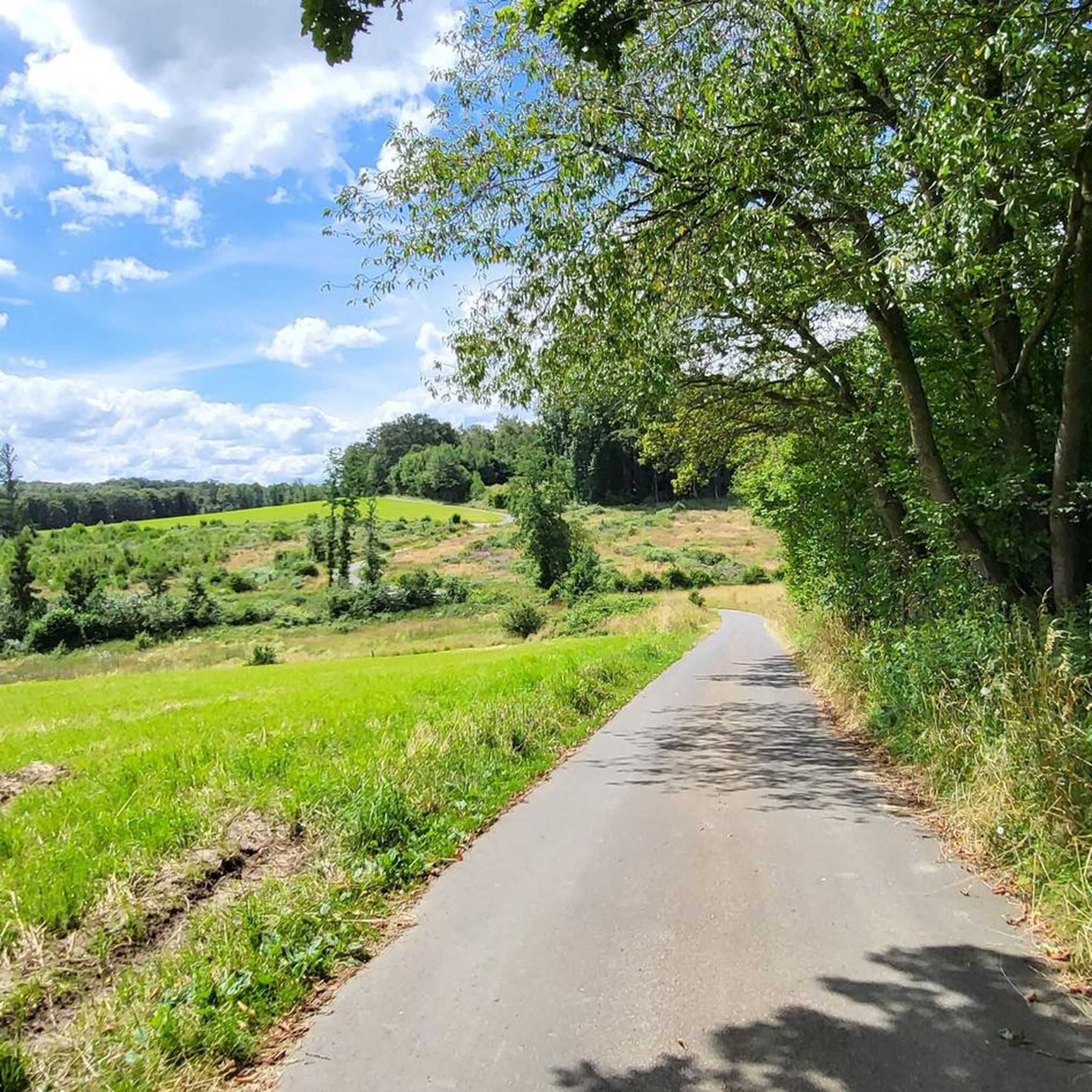
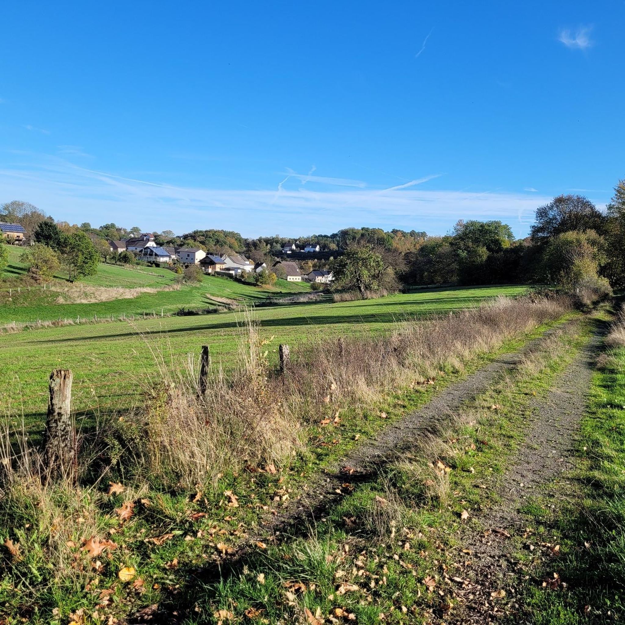
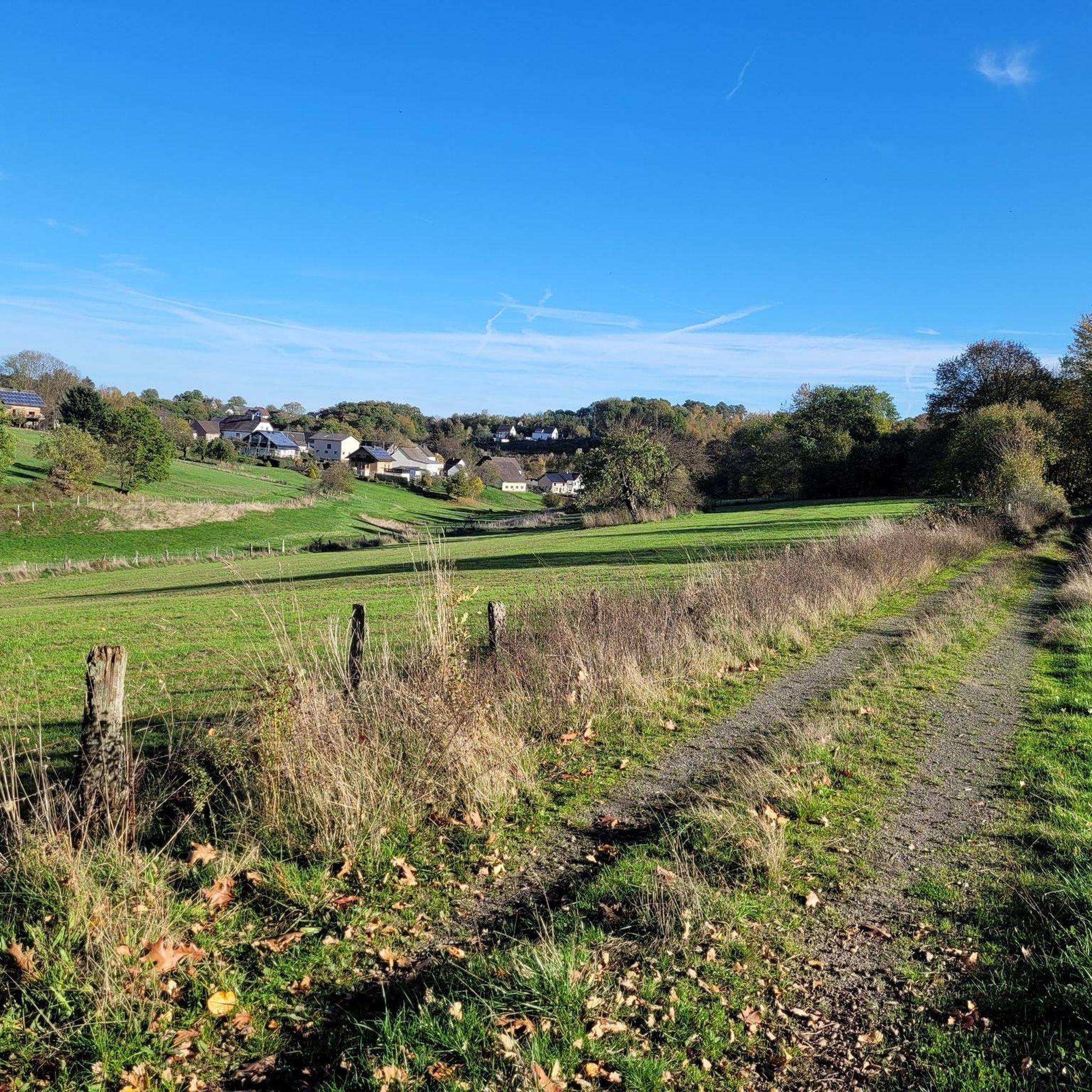
Tips from the Community

Stamp point for the 6th stage of the Natursteig Sieg and the Erlebnisweg Sieg „Wälderweg“. Why this was set up about 150 m away from the hiking trail is not entirely clear to me. Just because of the few meters of altitude on the Studchen?
1
0

The Hohe Schaden is not 988 m but only 388.2 m above sea level
0
0

Great view and then an interesting trail down to Bitze follows, but the climb is challenging without an e-bike
0
0

Why is the mountain called that?
0
0

Here you can sign the stamp for stage 6 of the Natursteig Sieg with a pencil and stamp booklet.
1
0

If a peak has a name like that, then you have to go up there, right?
2
0

Anyone who has mastered the 177 steps up will be rewarded with a fantastic panoramic view.
5
0

On the 311 meter high Studchen you have a gorgeous view of the surroundings. Several hiking trails lead past this beautiful spot and if it is important to you, you can also fill out your stamp pass.
2
0
Frequently Asked Questions
What are the most popular mountain peaks and viewpoints around Helmenzen?
The most popular elevated points and viewpoints in the Helmenzen area include the Raiffeisen Tower on Beulskopf, which offers extensive panoramic views from its 35-meter height. Another highly regarded spot is Hoher Schaden, the highest point of the Leuscheid forest area at 388 meters. Visitors also appreciate the Studchen Summit Viewpoint (311 m), known for its family-friendly atmosphere and scenic surroundings.
What kind of landscape can I expect when hiking to peaks around Helmenzen?
The landscape around Helmenzen is characterized by rolling hills, dense forests, and flowering meadows, typical of the Westerwald region. While not featuring towering mountains, the area offers numerous elevated points that provide impressive vistas over the expansive countryside. You'll find varied trails suitable for different skill levels, leading through natural beauty.
Are there any significant towers or landmarks on the peaks near Helmenzen?
Yes, the most prominent landmark is the Raiffeisen Tower, located on the 388.2-meter high Beulskopf. This 35-meter tall tower provides a fantastic 360-degree panoramic view of the Westerwald. Hikers often make a detour to climb its 180 steps for the rewarding scenery.
Are there family-friendly mountain peaks or viewpoints near Helmenzen?
Absolutely. The Studchen Summit Viewpoint (311 m) is particularly noted as family-friendly, offering lovely views and serving as a designated stamp point on several hiking trails. Additionally, the View of the Siebengebirge from Keuenhofer Wiesen is another family-friendly viewpoint, ideal for enjoying sunsets.
What are the typical hiking difficulties for trails leading to peaks around Helmenzen?
The trails leading to the elevated points around Helmenzen generally range from easy circular routes to moderate, more challenging long-distance hikes. For example, a popular moderate hike is the "Alte Kohlstraße (Old Coal Road) – Raiffeisen Tower on Beulskopf loop from Helmenzen," which covers about 13.75 km. The region's rolling hills make it accessible for various fitness levels.
How can I get panoramic views of the Westerwald region?
For breathtaking panoramic views, the Raiffeisen Tower on Beulskopf is an excellent choice. From its viewing platform, you can see far across the Westerwald. Other elevated points like Hoher Schaden and the Studchen Summit Viewpoint also offer impressive perspectives of the surrounding area.
What outdoor activities can I do near these mountain peaks?
Beyond hiking to the peaks, the area around Helmenzen offers diverse outdoor activities. You can explore numerous running trails, such as the "Pond at Weyerdamm – Obererbach Pond loop from Altenkirchen (Westerwald)" (11.62 km, moderate). For mountain biking enthusiasts, there are routes like the "Marienstatt Abbey and Brewery – Nister Trail loop from Altenkirchen (Westerwald)" (43.18 km, moderate). You can find more details on these activities in the Running Trails around Helmenzen, MTB Trails around Helmenzen, and Hiking around Helmenzen guides.
Are there specific hiking trails that lead to the peaks around Helmenzen?
Yes, several trails lead to the elevated points. For instance, the "Alte Kohlstraße (Old Coal Road) – Raiffeisen Tower on Beulskopf loop from Helmenzen" is a popular moderate hiking route of about 13.75 km. The Studchen Summit Viewpoint is also a designated stamp point on various hiking trails. You can find more hiking options in the Hiking around Helmenzen guide.
What do visitors enjoy most about the mountain peaks and viewpoints near Helmenzen?
Visitors particularly enjoy the expansive and breathtaking panoramic views from spots like the Raiffeisen Tower on Beulskopf, especially on clear days, making it ideal for photographers. The varied trails suitable for different skill levels and the natural beauty of the Westerwald are also highly appreciated. The family-friendly atmosphere at places like the Studchen Summit Viewpoint is also a significant draw.
Can I find any unique natural features or monuments among the peaks?
Yes, the region features natural high points and viewpoints. Hoher Schaden, at 388 meters, is notable as the highest elevation of the Leuscheid forest area. While not a towering mountain range, the area's charm lies in its rolling hills and the specific vantage points that offer wide perspectives of the surrounding nature.
Is there a good spot for sunset views near Helmenzen's peaks?
Yes, the View of the Siebengebirge from Keuenhofer Wiesen is highlighted as a perfect place for watching the sunset. From this viewpoint, you can often see the silhouette of the Siebengebirge very clearly, making for a spectacular evening experience.
Most popular routes around Helmenzen
Most popular attractions around Helmenzen

Get inspired with the komoot mobile app


Explore more
See even more amazing summits around Helmenzen with these guides:
