The 6 Most Amazing Peaks around Kettenhausen
Best mountain peaks around Kettenhausen feature a diverse landscape of hills and forests, providing numerous elevated points and trails. This region offers rewarding views and varying degrees of hiking challenge for outdoor enthusiasts. While not characterized by towering peaks in the traditional sense, the area boasts significant elevation changes and rugged terrain. Visitors can explore a variety of routes that cater to different fitness levels, connecting with nature through idyllic forests, past streams, and across meadows.
Best mountain peaks around…
Last updated: June 26, 2026
Raiffeisen Tower on Beulskopf
Highlight • Viewpoint
Translated by Google •
Tip by

Hohenschauberg (389 m)
Highlight • Summit
Translated by Google •
Tip by

Sign up now to discover places like this
Get recommendations on the best single tracks, peaks, & plenty of other exciting outdoor places.
Sign up for free
Hoher Schaden
Highlight • Summit
Translated by Google •
Tip by

Studchen Summit Viewpoint (311 m)
Highlight • Viewpoint
Translated by Google •
Tip by

Hoher Schaden – Highest Point of Eitorf
Highlight • Summit
Translated by Google •
Tip by

Sign up for free to discover even more peaks around Kettenhausen.
Sign up for free
Already have an account?
Start today with a free account
Your next adventure awaits.
Login or Signup
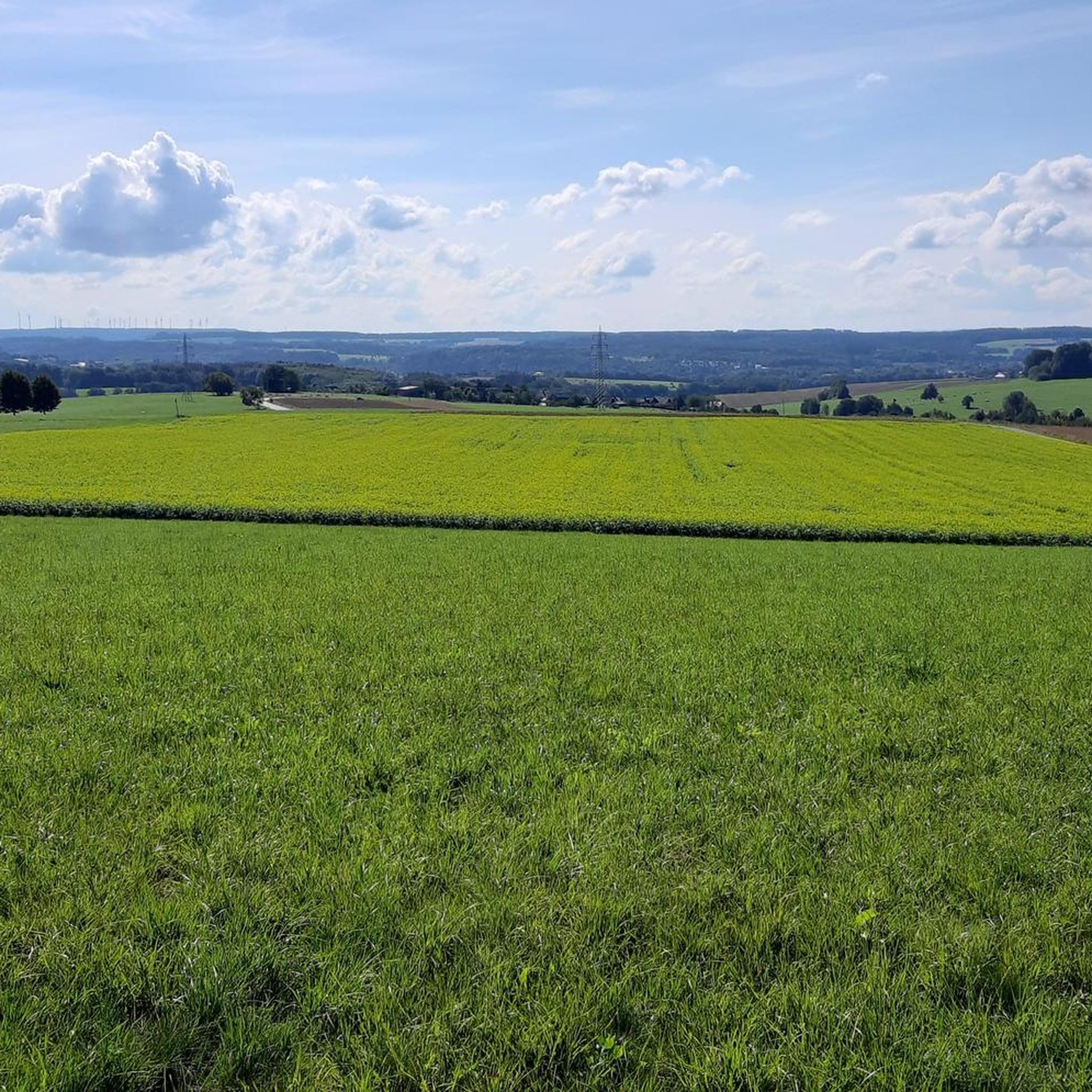
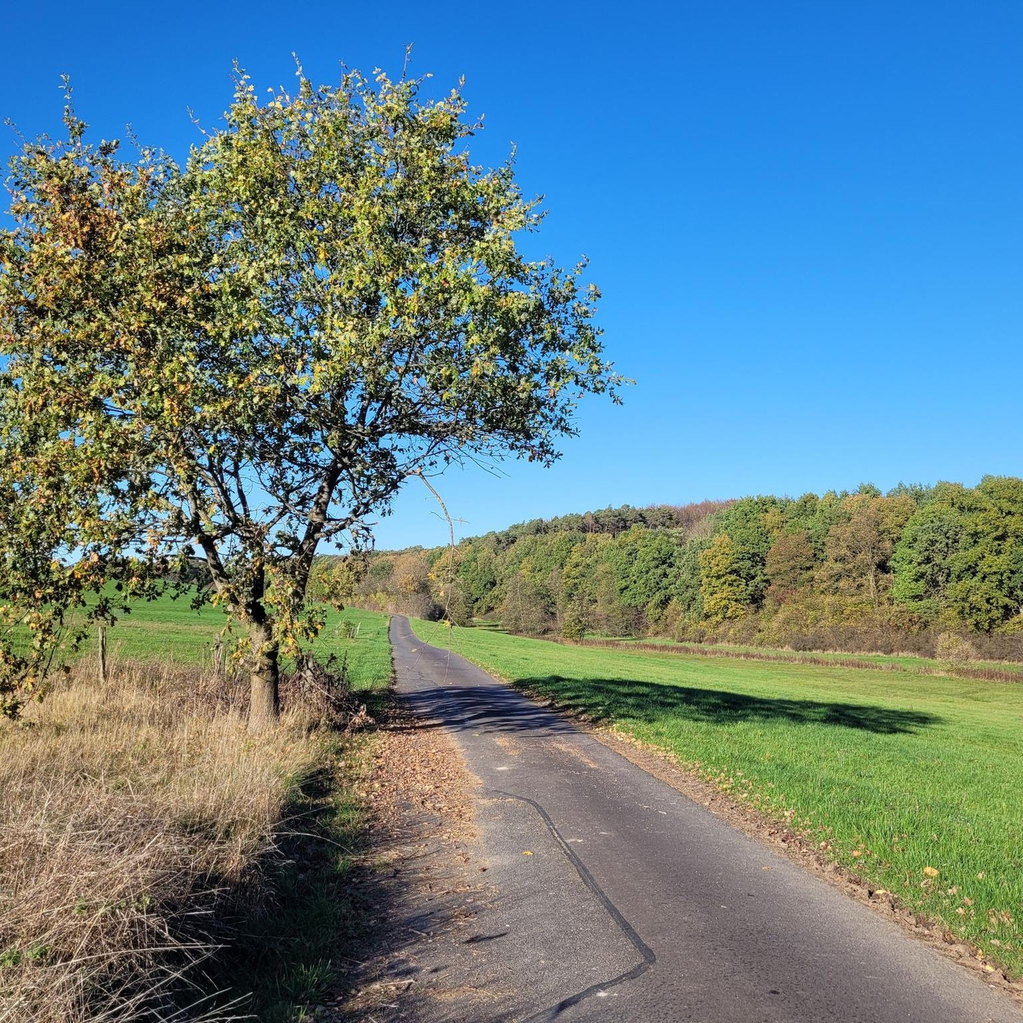
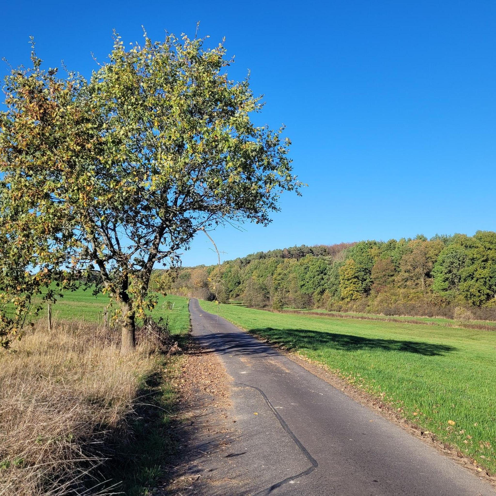
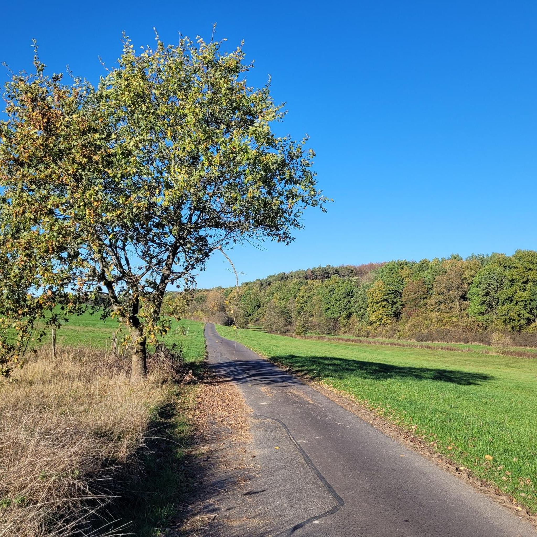
Tips from the Community

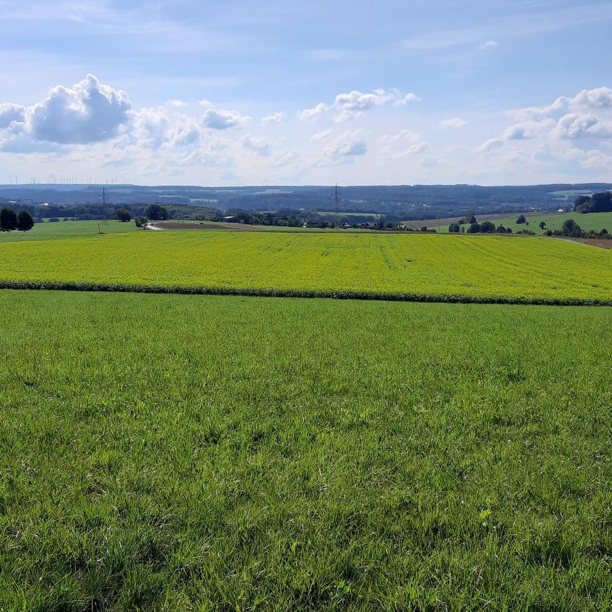
Stamp point for the 6th stage of the Natursteig Sieg and the Erlebnisweg Sieg „Wälderweg“. Why this was set up about 150 m away from the hiking trail is not entirely clear to me. Just because of the few meters of altitude on the Studchen?
1
0

The Hohe Schaden is not 988 m but only 388.2 m above sea level
0
0

Highest point in Eitorf. A must-see.
0
0
Great view and then an interesting trail down to Bitze follows, but the climb is challenging without an e-bike
0
0

Why is the mountain called that?
0
0

Good trail goes down from the top, but for nature conservation reasons MTBs are not welcome at the moment.
0
0

Here you can sign the stamp for stage 6 of the Natursteig Sieg with a pencil and stamp booklet.
1
0

The highest point of Eitorf
0
0
Frequently Asked Questions
What are the most popular elevated points and viewpoints around Kettenhausen?
The most popular elevated points and viewpoints in the Kettenhausen area include the Raiffeisen Tower on Beulskopf, which offers extensive panoramic views after climbing 180 steps. Another significant spot is Hoher Schaden, recognized as the highest elevation of the Leuscheid forest area. Visitors also enjoy the Studchen Summit Viewpoint (311 m), known for its gorgeous views and family-friendly atmosphere.
What kind of landscape and natural features can I expect to see in the Kettenhausen region?
The Kettenhausen region features a diverse landscape of rolling hills and dense forests. You can expect to find numerous elevated points offering rewarding views, along with idyllic forests, flowing streams, and open meadows. While not characterized by towering peaks, the area provides significant elevation changes and rugged terrain, perfect for connecting with nature.
Is the Raiffeisen Tower on Beulskopf accessible, and what can I see from there?
Yes, the Raiffeisen Tower on Beulskopf is accessible and offers a great all-round view. You'll need to climb 180 steps to reach the top. From the viewing platform, the sights and towns in the panoramic vista are marked on the railing, providing a helpful guide to what you're seeing.
What is the highest point in the vicinity of Kettenhausen?
The highest elevation in the Leuscheid forest area, which is near Kettenhausen, is Hoher Schaden. It stands at 388 meters and is considered a significant natural monument in the region.
Are there family-friendly hiking options around Kettenhausen's elevated points?
Yes, the Studchen Summit Viewpoint (311 m) is particularly noted as a family-friendly spot. It offers gorgeous views of the surroundings and is a popular stamp point for hikers, making it an enjoyable destination for families.
What outdoor activities, besides hiking, can I do near the elevated points of Kettenhausen?
Beyond hiking, the area around Kettenhausen offers excellent opportunities for cycling and mountain biking. You can explore various routes such as the 'Wied Bridge – Wied Valley loop from Helmenzen' for cycling, or the 'Marienstatt Abbey and Brewery – Nister Trail loop from Altenkirchen (Westerwald)' for mountain biking. For more details, refer to the Cycling around Kettenhausen, Road Cycling Routes around Kettenhausen, and MTB Trails around Kettenhausen guides.
Are there challenging hiking tours available in the Kettenhausen area?
Yes, despite not having traditional towering peaks, the region offers 'challenging mountain tours' for those seeking more strenuous hikes. These routes feature significant elevation changes and rugged terrain, providing a demanding experience for seasoned hikers.
What do visitors appreciate most about the elevated points and trails around Kettenhausen?
Visitors frequently appreciate the breathtaking panoramic views, especially from spots like the Raiffeisen Tower on Beulskopf. The tranquility and natural beauty of the forests, streams, and meadows are also highly valued, offering a deep connection with nature. The variety of trails catering to different fitness levels is also a common highlight.
What should I consider when planning a hike to the elevated points near Kettenhausen?
When planning a hike, it's recommended to wear sturdy shoes, especially for longer or more challenging routes. Carrying enough water and provisions is also advisable. Always check the weather forecast before heading out, as conditions can change, particularly at higher elevations.
Are there any specific natural monuments or unique features to look out for?
Yes, Hoher Schaden is recognized as a natural monument and the highest elevation of the Leuscheid forest area. Additionally, the Hoher Schaden Summit (988 m) also features a landmark and a small idyllic rest bench, offering a striking viewpoint.
Where can I find parking for hiking trails near Kettenhausen's elevated points?
While specific parking locations for each trail are not detailed here, many popular trailheads in the Kettenhausen area, especially those leading to well-known viewpoints like the Raiffeisen Tower on Beulskopf or the Studchen Summit Viewpoint, typically have designated parking areas nearby. It's always a good idea to check local signage or specific route descriptions for precise parking information.
Most popular routes around Kettenhausen
Most popular attractions around Kettenhausen

Get inspired with the komoot mobile app


Explore more
See even more amazing summits around Kettenhausen with these guides:
