The 4 Most Amazing Peaks around Hilgenroth
Mountain peaks around Hilgenroth are characterized by the hilly landscape of the Westerwald region in Rhineland-Palatinate, Germany. While not featuring towering alpine summits, the area offers notable elevations that provide scenic views and recreational opportunities. The most prominent elevation is the Beulskopf, a 388.2-meter high hill near Hilgenroth. This region is known for its accessible elevated points that offer extensive panoramic views.
Best mountain peaks around Hilgenroth
- The most popular mountain peaks is Raiffeisen Tower on Beulskopf, a viewpoint…
Last updated: June 26, 2026
Raiffeisen Tower on Beulskopf
Highlight • Viewpoint
Translated by Google •
Tip by

Studchen Summit Viewpoint (311 m)
Highlight • Viewpoint
Translated by Google •
Tip by

Sign up now to discover places like this
Get recommendations on the best single tracks, peaks, & plenty of other exciting outdoor places.
Sign up for free
Panoramic View from Beulskopf
Highlight • Viewpoint
Translated by Google •
Tip by

View from Bickenberg
Highlight • Viewpoint
Translated by Google •
Tip by

Highest point of the Künstlerweg in Herchen
Highlight • Summit
the stamp can be traced here
Translated by Google •
Tip by

Sign up for free to discover even more peaks around Hilgenroth.
Sign up for free
Already have an account?
Start today with a free account
Your next adventure awaits.
Login or Signup
Popular around Hilgenroth
Hiking on the Cologne Trail – Discover nature close to the city
Nature, art & history on the adventure trails of the Sieg Nature Region
Hike the WesterwaldSteig in Germany’s Westerwald-Sieg Region
Hiking around Hilgenroth
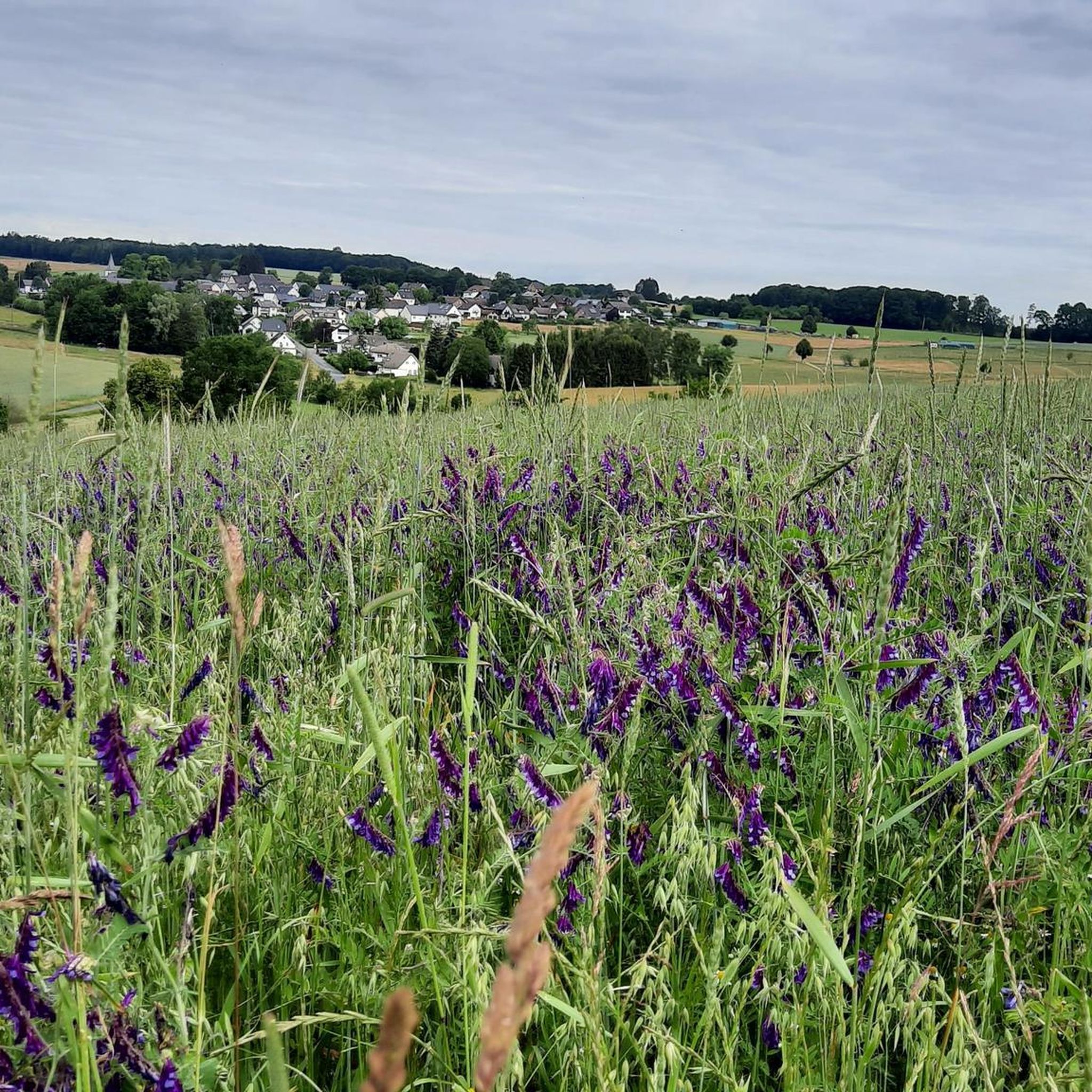
Road Cycling Routes around Hilgenroth
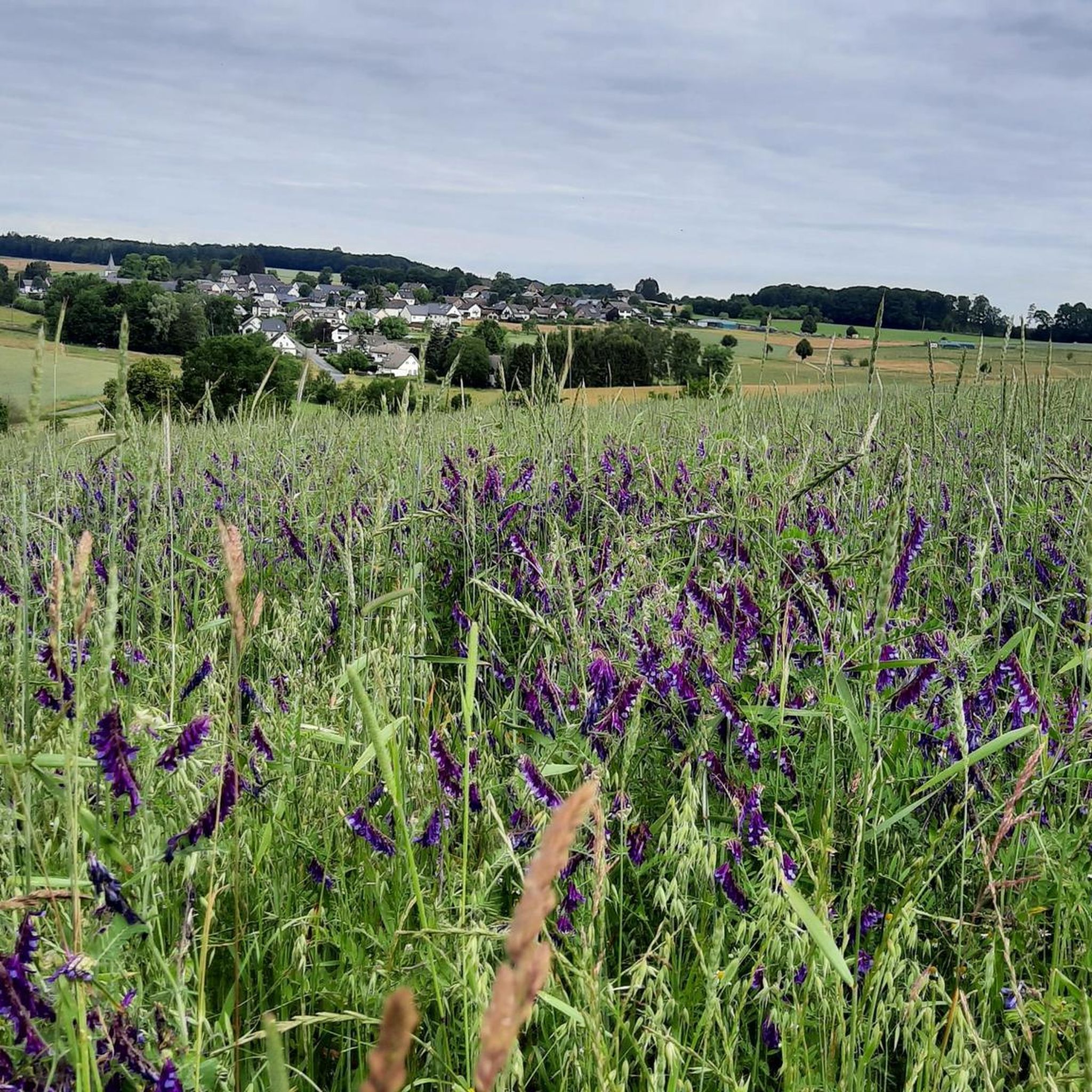
Cycling around Hilgenroth
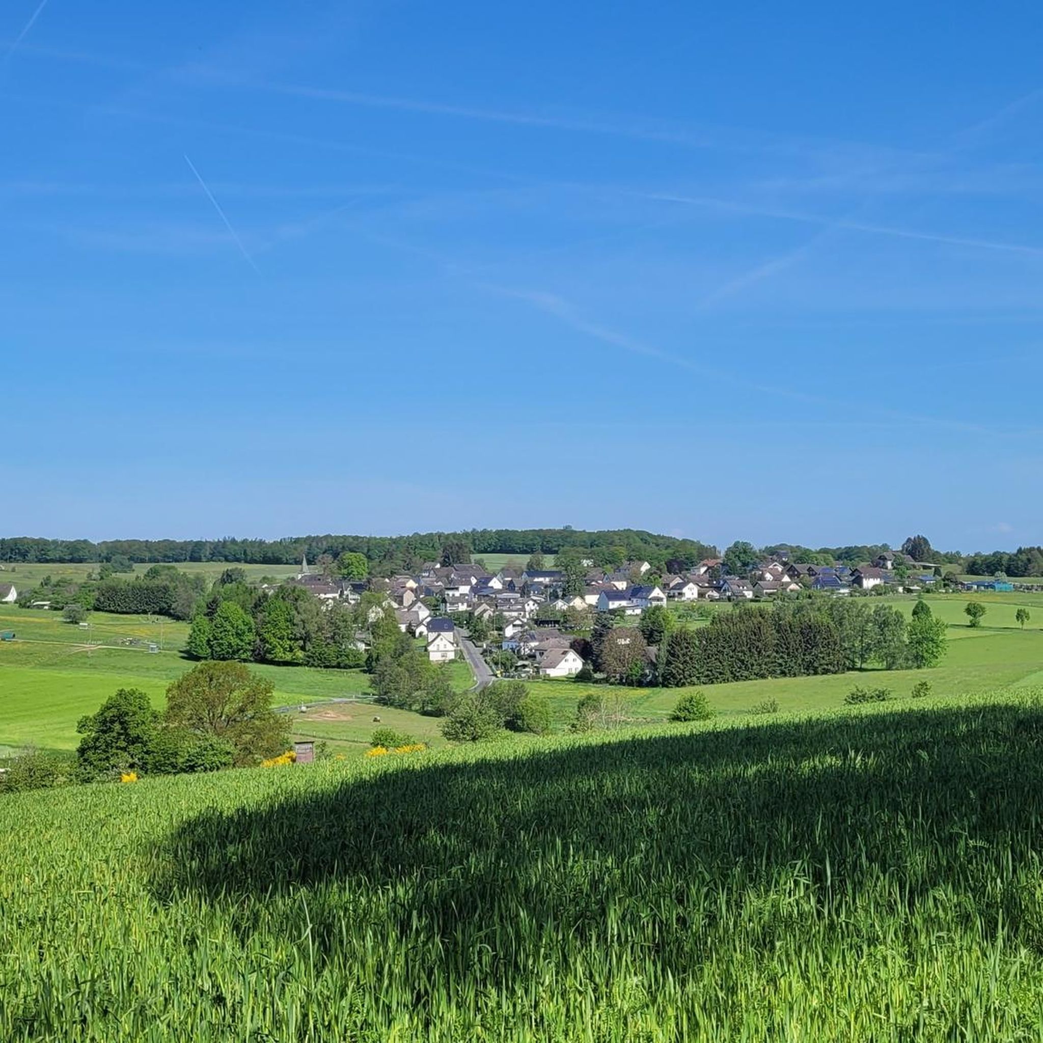
MTB Trails around Hilgenroth
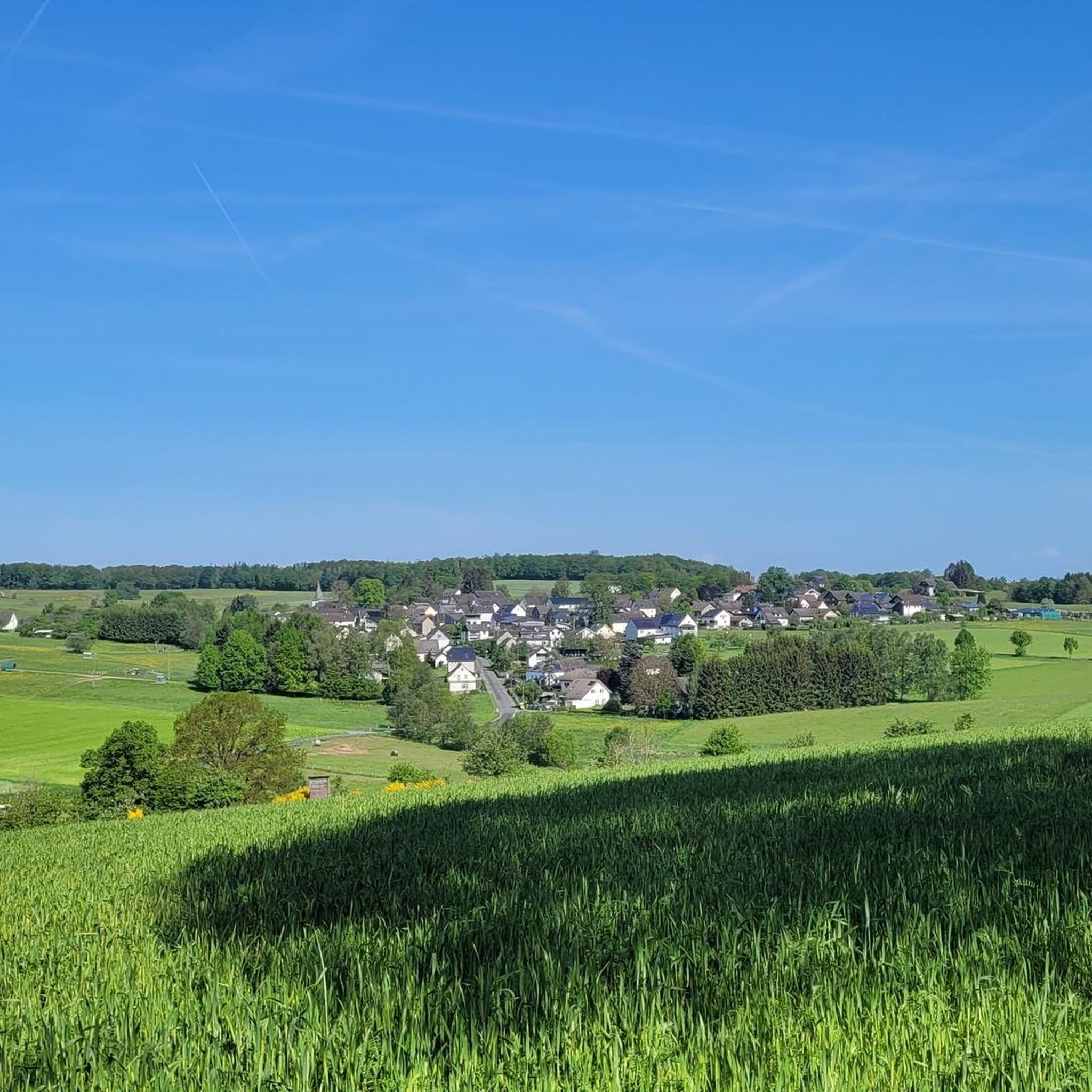
Running Trails around Hilgenroth
Gravel biking around Hilgenroth
Other adventures around Hilgenroth


Tips from the Community

Stamp point for the 6th stage of the Natursteig Sieg and the Erlebnisweg Sieg „Wälderweg“. Why this was set up about 150 m away from the hiking trail is not entirely clear to me. Just because of the few meters of altitude on the Studchen?
1
0

Here you can sign the stamp for stage 6 of the Natursteig Sieg with a pencil and stamp booklet.
1
0

Anyone who has mastered the 177 steps up will be rewarded with a fantastic panoramic view.
5
0

A magnificent view is possible from here. East over Hamm to the Siegerland, west is the Oberbergische. Air traffic Cologne/Bonn can also be observed. Southwest the Siebengebirge. It can be enjoyed on a clear day.
0
0

On the 311 meter high Studchen you have a gorgeous view of the surroundings. Several hiking trails lead past this beautiful spot and if it is important to you, you can also fill out your stamp pass.
2
0

Mountain festival for the Sieg adventure trail - forest trail
1
1

180 steps for a great all-round view. On the railing of the viewing platform, the sights and towns are marked with a marker – funny and definitely helpful.
3
0
The 180 steps are worth it: the view is great and the navigation aid on the railing is really funny but coherent.
5
0
Frequently Asked Questions
What are the most prominent elevated points around Hilgenroth?
The most prominent elevated point is the Beulskopf, which stands at 388.2 meters. Its summit hosts the Raiffeisen Tower on Beulskopf, offering extensive panoramic views. Other notable elevations include the View from Bickenberg (364 meters) and the Studchen Summit Viewpoint (311 m).
What kind of views can I expect from the elevated points around Hilgenroth?
From the observation platform of the Raiffeisen Tower on Beulskopf, you can enjoy extensive 360-degree panoramic views across the Westerwald landscape. On clear days, the vista extends to distant geographical features such as the Montabaur Heights, the Siebengebirge, the Eifel, and parts of the Rothaargebirge. Other viewpoints like the View from Bickenberg also provide wide perspectives of the surrounding area.
Are there hiking trails that lead to these elevated points?
Yes, the Beulskopf and its tower are popular destinations for hikers, forming part of various walking and cycling routes in the region, including sections of the WesterwaldSteig. Many local hiking trails integrate these elevated points. You can find more details on routes in the area on the Hiking around Hilgenroth guide.
Are there family-friendly options for exploring the elevated points?
Absolutely. The Studchen Summit Viewpoint (311 m) and the View from Bickenberg are categorized as family-friendly. The Raiffeisen Tower itself is accessible via 176 steps with intermediate platforms, making it manageable for many families.
What makes the Raiffeisen Tower on Beulskopf a popular destination?
The Raiffeisen Tower is popular for its impressive 35-meter height, offering unparalleled 360-degree panoramic views from its platform. The railing of the viewing platform even marks distant sights and towns, enhancing the experience. It's a rewarding climb, and a small resting area with tables and benches is available at the base.
What other outdoor activities can I do near the elevated points around Hilgenroth?
Beyond hiking, the region offers excellent opportunities for cycling and mountain biking. You can explore various routes, such as those detailed in the Cycling around Hilgenroth guide and the MTB Trails around Hilgenroth guide. Many of these routes pass by or near the prominent viewpoints.
What is the best time of year to visit the elevated points around Hilgenroth?
The best time to visit is generally during spring, summer, and autumn when the weather is mild and the trails are dry. Clear days are ideal for enjoying the extensive panoramic views from observation points like the Raiffeisen Tower. Winter can also offer beautiful, crisp views, but trails might be slippery, and a windbreaker is recommended for exposed viewpoints.
Are there facilities like resting areas or cafes near the elevated points?
At the base of the Raiffeisen Tower on Beulskopf, there is a small resting area with tables and benches. Many trails and viewpoints, such as the View of Helmeroth and Langenbach, also feature benches or loungers for relaxation. While there might not be cafes directly at every summit, nearby villages offer dining options.
What should I wear when hiking the elevated points in this region?
Given the hilly landscape and potential for wind at higher viewpoints, it's advisable to wear comfortable hiking shoes, layered clothing, and bring a windbreaker, especially when ascending observation towers like the Raiffeisen Tower. Even on sunny days, the Westerwald can be breezy.
What do visitors particularly enjoy about the elevated points around Hilgenroth?
Visitors highly appreciate the extensive panoramic views, especially from the Raiffeisen Tower on Beulskopf. The accessibility of these elevated points, combined with well-maintained hiking trails and opportunities for relaxation at scenic spots, makes them very popular. The region's natural beauty and the chance to fill stamp passes at certain points also add to the enjoyment.
Are there any less-known or 'hidden gem' elevated points to explore?
While the Beulskopf is well-known, the Studchen Summit Viewpoint (311 m) offers gorgeous views and serves as a stamp point for hikers, making it a charming discovery. The Highest point of the Künstlerweg in Herchen is another pleasant spot, offering a nice place to rest and enjoy the surroundings.
Most popular routes around Hilgenroth
Most popular attractions around Hilgenroth

Get inspired with the komoot mobile app


Explore more
See even more amazing summits around Hilgenroth with these guides:
