The 7 Most Amazing Peaks around Walterschen
Mountain peaks around Walterschen offer a diverse landscape characterized by lower mountain ranges and numerous viewpoints. The region provides opportunities to explore varied terrain, including forested areas and open vistas. These natural features contribute to the area's appeal for outdoor activities. Walterschen is situated in a geographical context that allows for exploration of its local elevations and natural landmarks.
Best mountain peaks around Walterschen
- The most popular mountain peaks is Raiffeisen Tower on Beulskopf, a viewpoint that offers a…
Last updated: October 27, 2026
Raiffeisen Tower on Beulskopf
Highlight • Viewpoint
Translated by Google •
Tip by

Hohenschauberg (389 m)
Highlight • Summit
Translated by Google •
Tip by

Sign up now to discover places like this
Get recommendations on the best single tracks, peaks, & plenty of other exciting outdoor places.
Hoher Schaden
Highlight • Summit
Translated by Google •
Tip by

Studchen Summit Viewpoint (311 m)
Highlight • Viewpoint
Translated by Google •
Tip by

View of the Siebengebirge from Keuenhofer Wiesen
Highlight • Viewpoint
Translated by Google •
Tip by

Sign up for free to discover even more peaks around Walterschen.
Already have an account?
Start today with a free account
Your next adventure awaits.
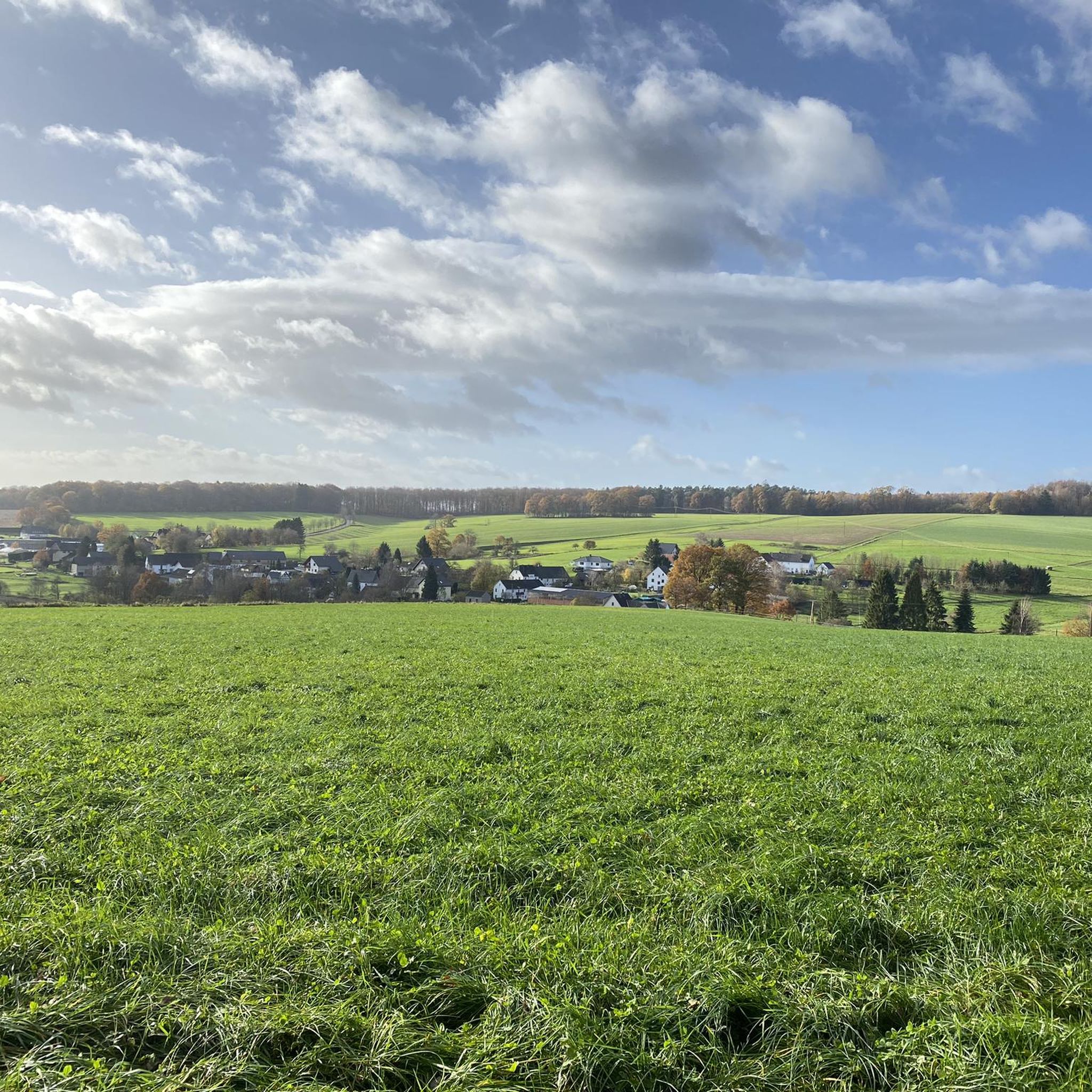
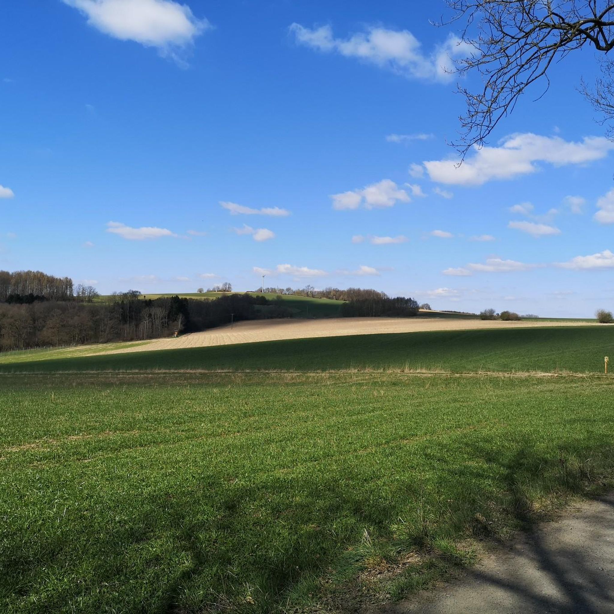
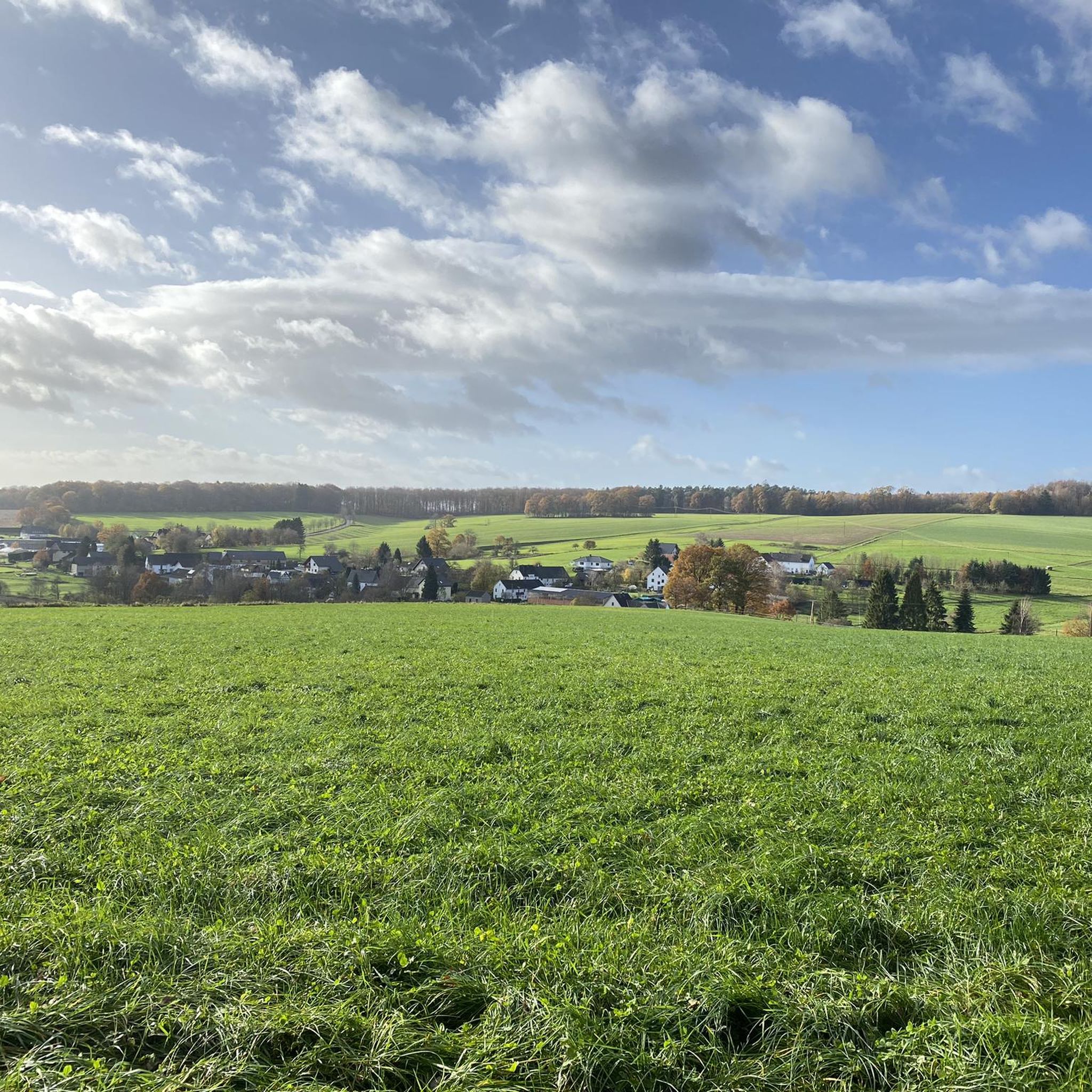
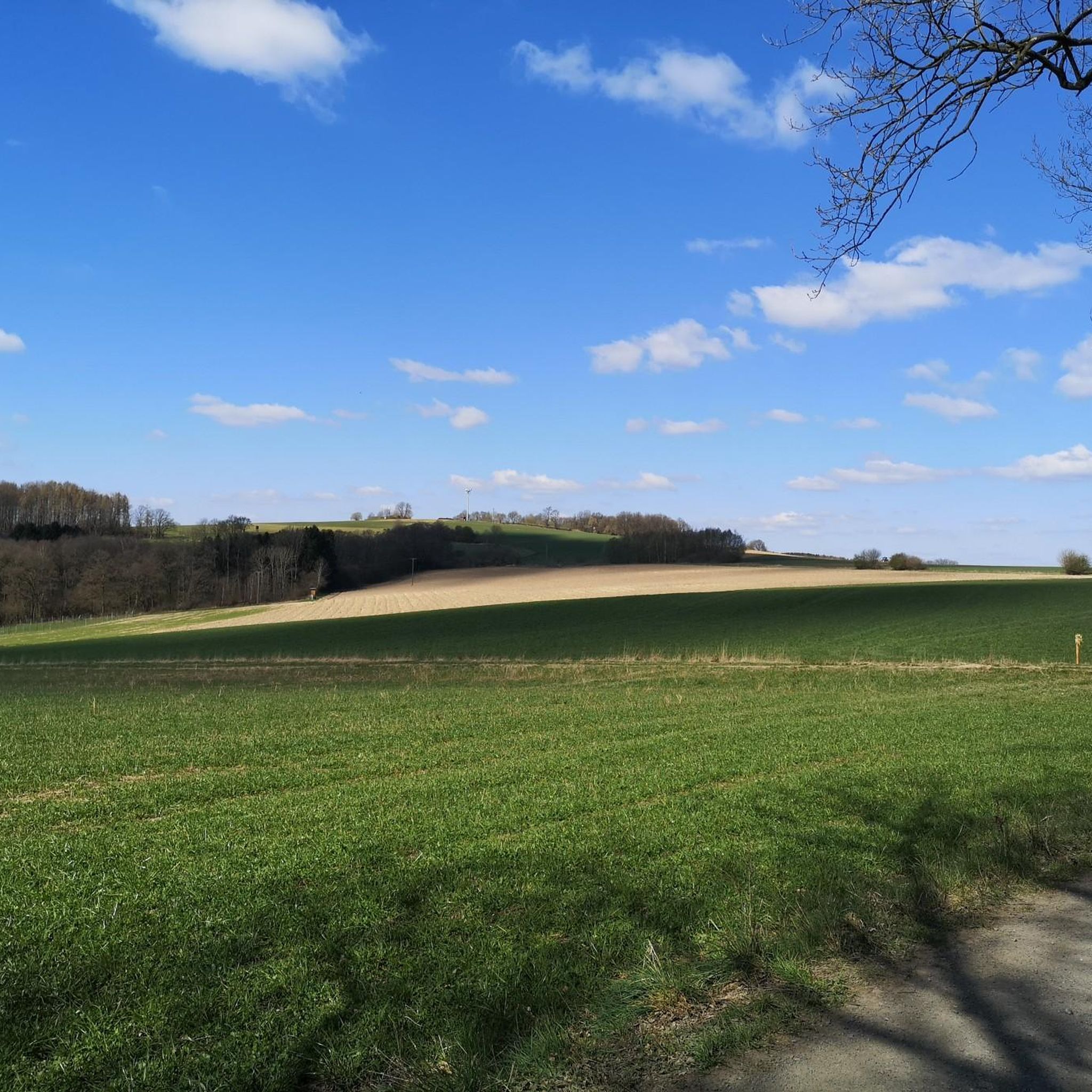
Tips from the Community

Stamp point for the 6th stage of the Natursteig Sieg and the Erlebnisweg Sieg „Wälderweg“. Why this was set up about 150 m away from the hiking trail is not entirely clear to me. Just because of the few meters of altitude on the Studchen?
1
0

The Hohe Schaden is not 988 m but only 388.2 m above sea level
0
0

Great view and then an interesting trail down to Bitze follows, but the climb is challenging without an e-bike
0
0

Why is the mountain called that?
0
0

Here you can sign the stamp for stage 6 of the Natursteig Sieg with a pencil and stamp booklet.
1
0

If a peak has a name like that, then you have to go up there, right?
2
0

Anyone who has mastered the 177 steps up will be rewarded with a fantastic panoramic view.
5
0

On the 311 meter high Studchen you have a gorgeous view of the surroundings. Several hiking trails lead past this beautiful spot and if it is important to you, you can also fill out your stamp pass.
2
0
Frequently Asked Questions
What are the most popular mountain peaks and viewpoints around Walterschen?
The most popular spots include Raiffeisen Tower on Beulskopf, which offers a panoramic view from its 35-meter high tower atop the 388.2-meter Beulskopf. Another highly regarded location is Hoher Schaden Summit (988 m), providing clear views towards the Westerwald. Visitors also appreciate Studchen Summit Viewpoint (311 m) for its surrounding views and accessible hiking trails.
Are there family-friendly mountain walks around Walterschen?
Yes, several areas around Walterschen are suitable for families. The Studchen Summit Viewpoint (311 m) is noted as family-friendly, with hiking trails leading to it. Additionally, the View of the Siebengebirge from Keuenhofer Wiesen is also categorized as family-friendly, offering pleasant views and a bee educational trail.
What kind of natural features can I expect to see on the peaks around Walterschen?
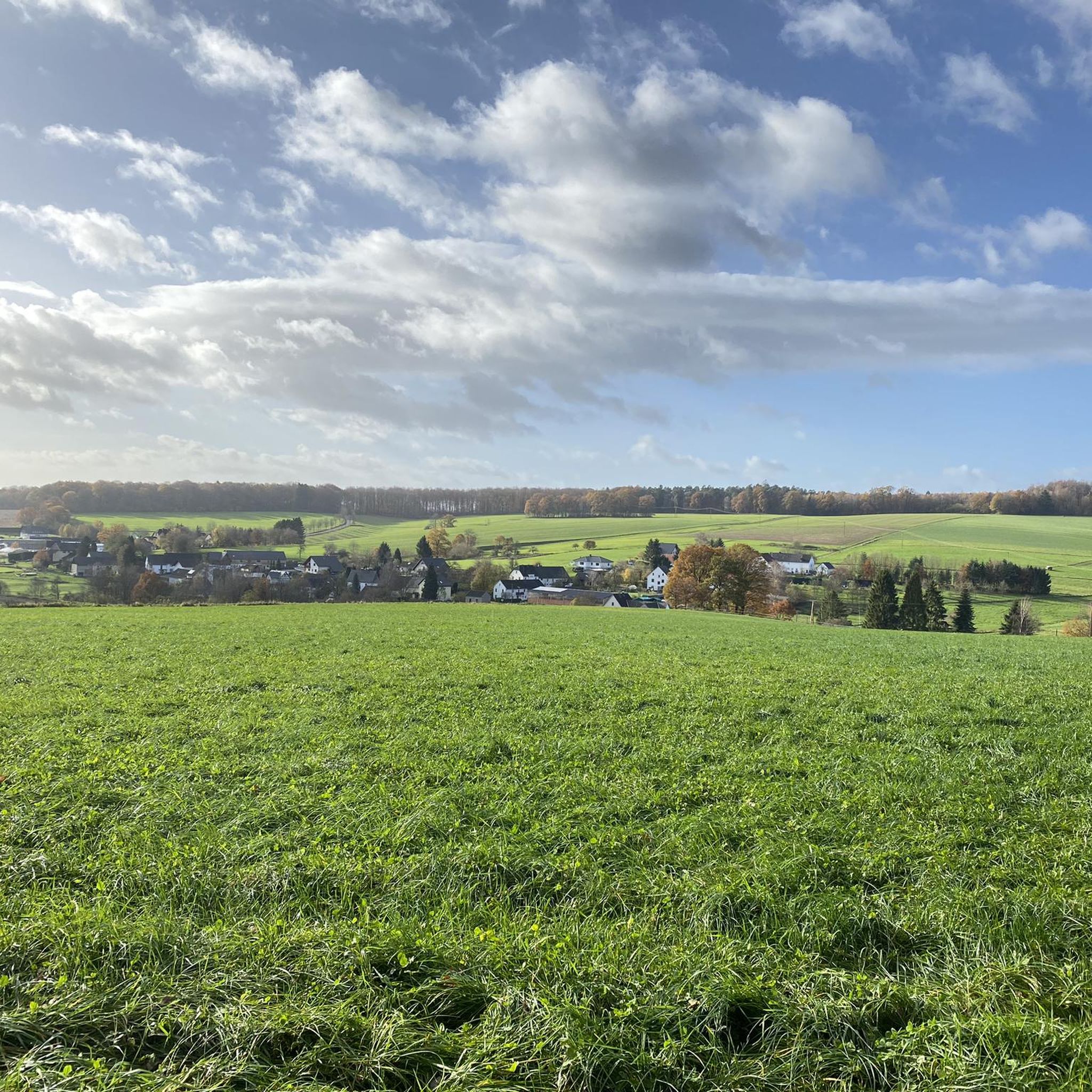
The region around Walterschen is characterized by lower mountain ranges, offering diverse landscapes including forested areas and open vistas. You'll find numerous viewpoints, such as the Raiffeisen Tower on Beulskopf, which provides extensive panoramic views. Many summits, like Hoher Schaden Summit (988 m), feature natural clearings or landmarks with benches, allowing for clear views of the surrounding Westerwald.
What outdoor activities can I do near the mountain peaks around Walterschen?
Beyond exploring the peaks and viewpoints, you can enjoy various outdoor activities. There are numerous road cycling routes, such as the 'View of Wiedtal – Burg Ehrenstein Ruins loop from Walterschen' or the 'K11 Road Near Strickhausen – Hemmelzen to Walterschen loop'. For hikers, easy trails like the 'View of the Westerwald – Birnbach Protestant Church loop from Hemmelzen' are available. You can find more details on these activities in the Road Cycling Routes around Walterschen, Easy hikes around Walterschen, and Cycling around Walterschen guides.
Are there easy hiking trails near Walterschen's peaks?
Yes, there are several easy hiking trails. For example, you can explore routes like the 'View of the Westerwald – Birnbach Protestant Church loop from Hemmelzen' or the 'Bench at the Forest Edge loop from Hemmelzen'. These trails offer accessible options for enjoying the local scenery. More easy hikes can be found in the Easy hikes around Walterschen guide.
What do visitors enjoy most about the mountain peaks around Walterschen?
Visitors particularly enjoy the panoramic views offered from various points. The Raiffeisen Tower on Beulskopf is praised for its 'gigantic view' on clear days, ideal for photographers. The Hoher Schaden Summit (988 m) is appreciated for its striking viewpoint and idyllic rest bench. The overall appeal lies in the diverse terrain, ranging from forested paths to open vistas, and the opportunity to explore local elevations and natural landmarks.
Can I find less crowded mountain trails near Walterschen?
While specific data on 'less crowded' trails isn't available, the region offers a variety of hiking paths leading to different viewpoints and summits. Exploring some of the less prominent trails or visiting during off-peak hours might help you find a quieter experience. The Studchen Summit Viewpoint (311 m) is part of several hiking trails, offering options beyond the most frequented spots.
What is the highest elevation point mentioned around Walterschen?
The highest elevation mentioned in the immediate vicinity is the Hoher Schaden Summit (988 m), which is approximately 388 meters high. The Raiffeisen Tower on Beulskopf stands on the 388.2-meter high Beulskopf, offering a significant vantage point.
Are there any viewpoints that offer views of distant landmarks?
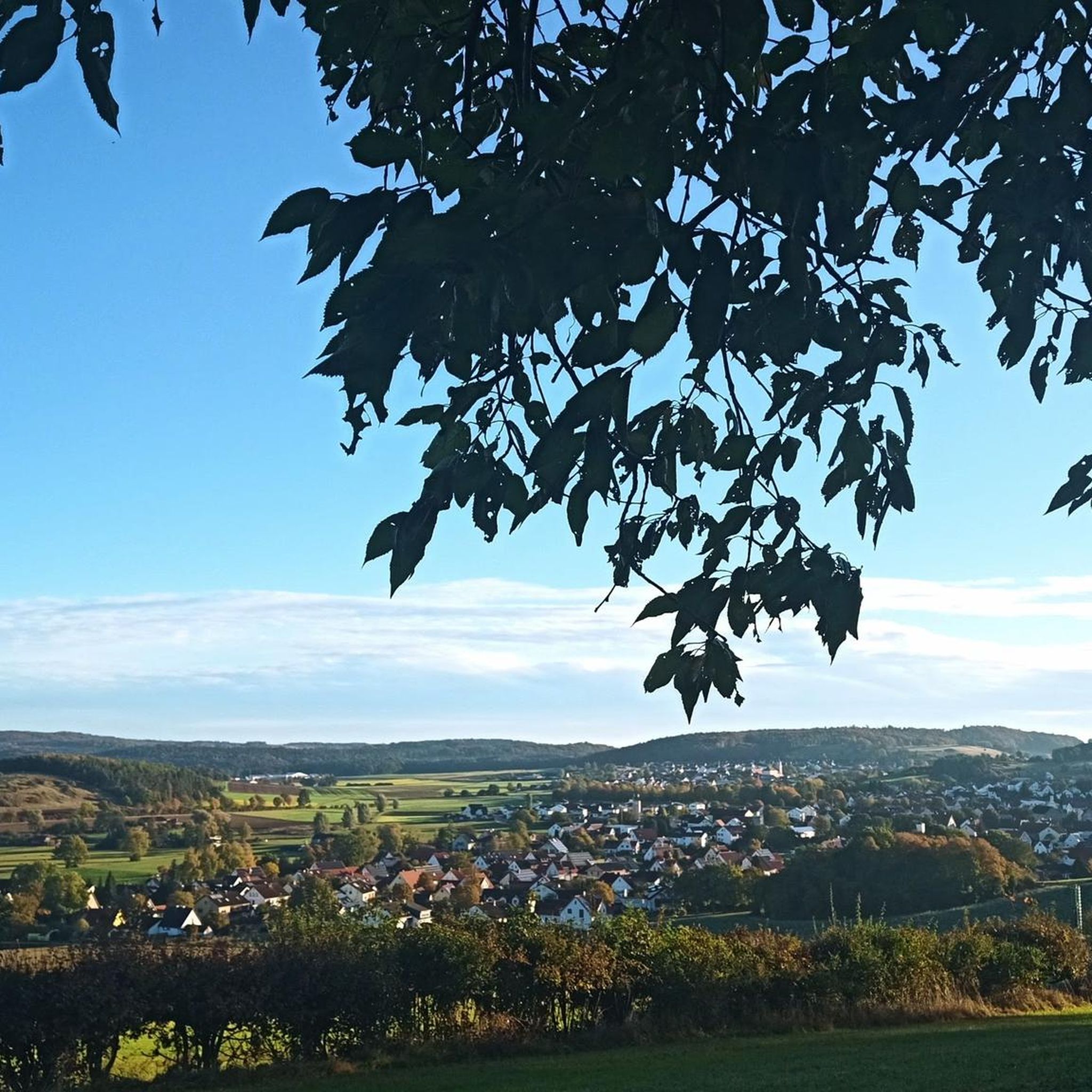
Yes, from the View of the Siebengebirge from Keuenhofer Wiesen, you can clearly see the silhouette of the Siebengebirge. This spot is also known for spectacular sunsets. The Raiffeisen Tower on Beulskopf provides a wide panoramic view where sights and towns are marked on the viewing platform, helping you identify distant features.
What is the best time to visit the mountain peaks around Walterschen?
While specific seasonal recommendations for Walterschen are not provided, generally, spring and autumn offer pleasant temperatures for hiking and clear views. Summer can also be enjoyable, especially in forested areas. Winter hiking is possible, but may require appropriate gear depending on conditions.
Can I find trails with parking near the mountain peaks?
Yes, many hiking routes and access points to the peaks around Walterschen are likely to have designated parking areas. For instance, the View of the Siebengebirge from Keuenhofer Wiesen mentions a designated parking lot. It's always advisable to check specific route details or local signage for parking information before your visit.
Most popular routes around Walterschen
Most popular attractions around Walterschen

Get inspired with the komoot mobile app


Explore more
See even more amazing summits around Walterschen with these guides:
