The 6 Most Amazing Peaks around Halsbrücke
Best mountain peaks around Halsbrücke are characterized by their elevated natural features and historical mining landscapes. The region, situated in Saxony, Germany, offers a mix of natural elevations and significant industrial heritage sites. While traditional towering peaks are not present, several points provide notable views and recreational opportunities. These areas are interwoven with hiking trails that showcase the region's unique blend of natural terrain and historical significance.
Best mountain peaks around Halsbrücke
- The most popular mountain peaks is Tannhübel (426…
Last updated: September 29, 2026
Kienberg Viewpoint (355 m)
Highlight • Viewpoint
Translated by Google •
Tip by

Tannhübel (426 m)
Highlight • Viewpoint
Translated by Google •
Tip by

Sign up now to discover places like this
Get recommendations on the best single tracks, peaks, & plenty of other exciting outdoor places.
Tännicht Summit (461 m)
Highlight • Summit
Translated by Google •
Tip by
Kroatenstein Summit
Highlight • Summit
Translated by Google •
Tip by

Start today with a free account
Your next adventure awaits.

Tips from the Community

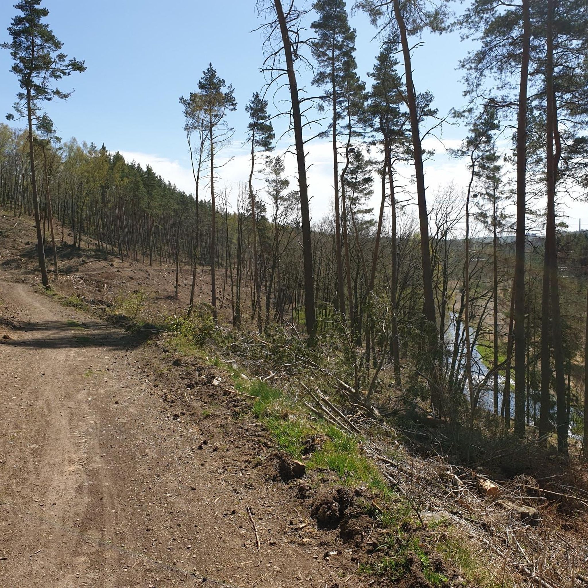
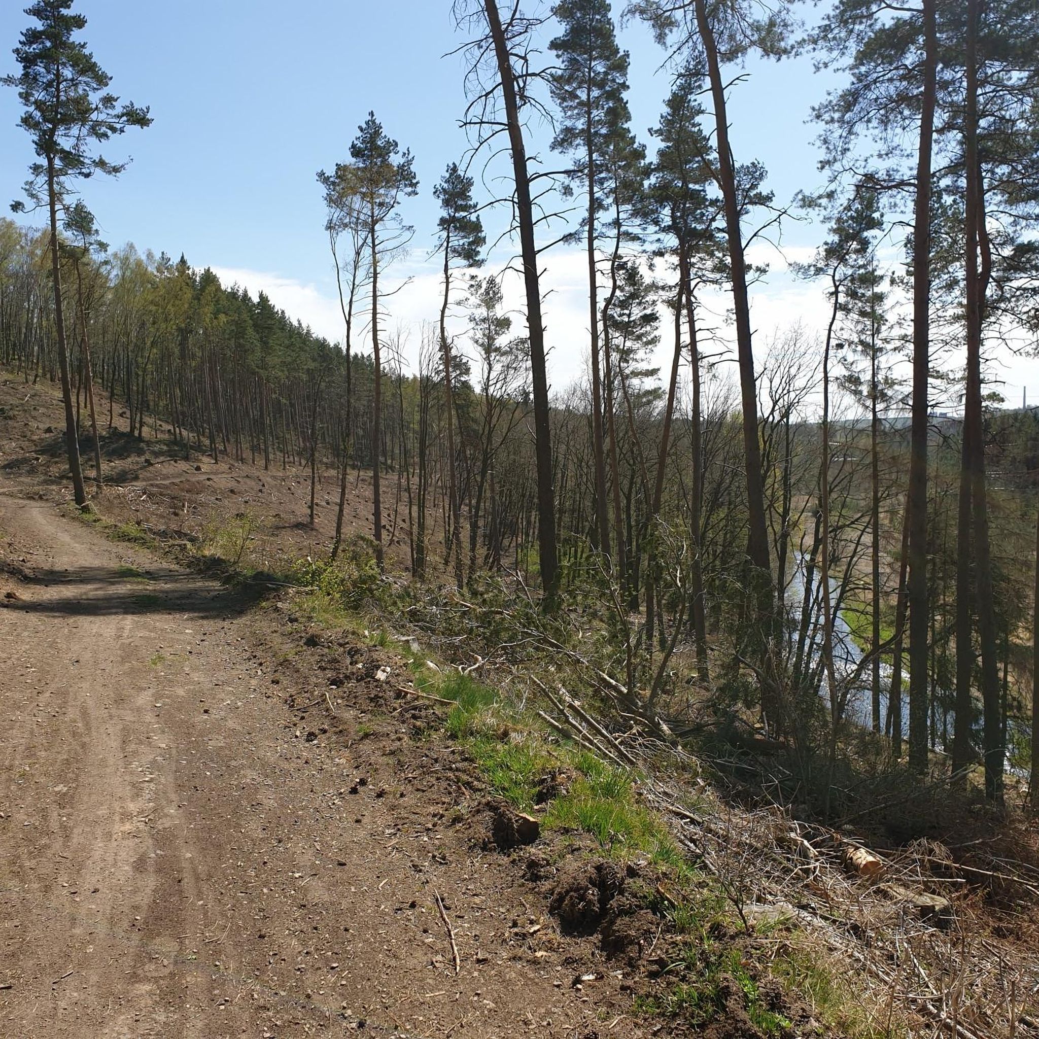
Not a particularly spectacular summit, but pure nature. The trails suggested by Komoot aren't easy to find, though.
2
0

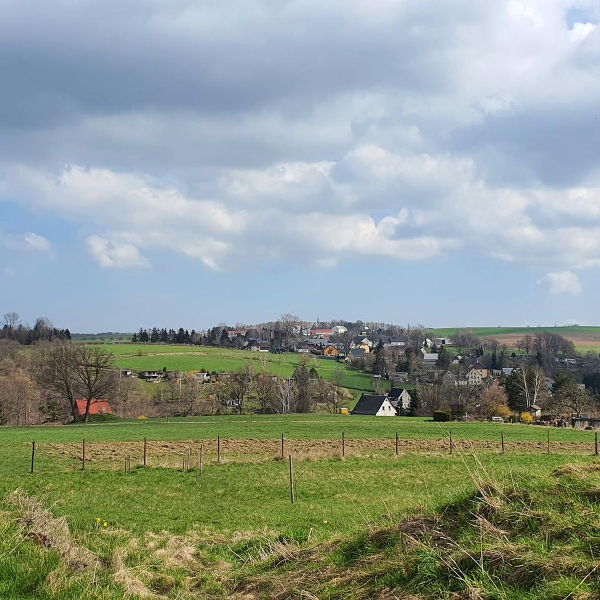
Beautiful view towards Freiberg
0
1

Bench with a great view over Hilbersdorf, Muldenhütten and Freiberg from Tannhübel at 426 m above sea level
1
0

Beautiful rest area with a great view towards Hilbersdorf, Muldenhütten and Freiberg.
3
1

Pointless. It's a nice way to get there though.
2
1

Nice view from the very, very short steep climb to the hill of the Kienberg. At the top there is a (mostly occupied) rest bench from which you can let your gaze wander. Of course, this also works while standing.
4
1
On the Kienberg it is easy to linger and you can enjoy the view.
6
1

Extensive view of the landscape
4
1
Frequently Asked Questions
What are some popular elevated points or viewpoints to visit around Halsbrücke?
Visitors frequently enjoy Tannhübel (426 m), which offers a beautiful rest area with views towards Hilbersdorf, Muldenhütten, and Freiberg. Another popular spot is Kienberg Viewpoint (355 m), known as a great vantage point to linger and enjoy the scenery. Tännicht Summit (461 m), the highest elevation of the Tharandt forest, also provides a quiet location with views into the forest.
Are there any significant natural elevations in the Halsbrücke area?
While Halsbrücke does not feature towering mountain peaks, it has several notable elevated points. Johannisberg, at 319 meters, is one of the higher natural elevations in the immediate vicinity. The village of Halsbrücke itself sits at approximately 356 meters, offering natural vantage points.
What kind of views can I expect from the elevated points around Halsbrücke?
From elevated points like Tannhübel, you can expect nice all-round views of the surrounding area, including Hilbersdorf, Muldenhütten, and Freiberg. Other viewpoints, such as Kienberg Viewpoint, offer scenic vistas perfect for lingering. Even man-made structures like the Hohe Esse, a 140-meter high chimney, provide expansive views of the landscape due to their height.
Does the Halsbrücke region offer any historical sites related to its elevated points?
Yes, the region is rich in historical mining landscapes. Elevated points and trails often lead to technical monuments and sites showcasing the area's industrial heritage. For example, Juchhöh is a peaceful spot with a bench and views, and along the road, there are signs pointing to the old mining area. The Hohe Esse, a historic chimney, is also a significant landmark.
Can I explore the region's mining history while hiking?
Absolutely. The elevated terrain around Halsbrücke is interwoven with hiking trails that specifically highlight the region's mining history. These trails lead to various technical monuments such as the Altväterbrücke (Old Fathers' Bridge), the Erzkanal (Ore Canal), and the Rothschönberger Stolln (drainage tunnel) with its 'Lichtlöcher'. These walks provide historical context and often offer good views across the Freiberger Mulde river valley.
Are there family-friendly elevated points or hikes suitable for children around Halsbrücke?
Yes, several spots are suitable for families. Kienberg Viewpoint (355 m) is accessible via various routes and is considered suitable for small children, though not ideal for strollers. Tannhübel (426 m) and Juchhöh are also categorized as family-friendly.
What kind of hiking trails are available near the elevated points in Halsbrücke?
The area offers a variety of hiking trails, ranging from easy to moderate difficulty. Many trails are found within forest settings and connect various viewpoints and summits. For example, you can find routes like the 'Waterfall on the Bobritzsch – Salt Bridge over the Bobritzsch River loop' or the 'Ludwigschacht – Hammer Bridge (Freiberg) loop'. You can explore more options on the Hiking around Halsbrücke guide page.
What other outdoor activities can I do near these elevated points?
Besides hiking, the Halsbrücke area is well-suited for cycling and running. There are numerous routes for touring bicycles, such as the 'Altväter Bridge – Untermarkt Square loop' or the 'Donat Tower, Freiberg – Kanzleilehngut Halsbrücke loop'. For runners, trails like the 'View of Altes Geschrei – Reiche Zeche Shaft loop' are available. You can find more details on the Cycling around Halsbrücke and Running Trails around Halsbrücke guide pages.
Are there any hidden gems or less-known elevated spots worth exploring?
While not extensively documented as 'hidden gems', spots like Kroatenstein Summit (397 m) offer a pure nature experience, though the trails might be less defined. Tännicht Summit is also noted for its quiet location, allowing for peaceful views into the Tharandt forest away from more crowded areas.
What do visitors enjoy most about the elevated points and trails in Halsbrücke?
Visitors particularly appreciate the scenic views, the tranquility, and the opportunity to connect with nature. Many enjoy the well-maintained rest areas at viewpoints like Tannhübel. The combination of natural beauty with the rich historical mining landscape also makes for a unique and engaging experience, as noted by those exploring the mining district trails.
Is there public transport available to reach hiking trails or elevated points?
While specific public transport routes to individual trailheads are not detailed, Halsbrücke is a municipality in Saxony, Germany. For detailed information on public transport options to reach the general area or specific starting points, it is advisable to consult local transport schedules or resources like Wikivoyage: Halsbrücke for general travel information.
Most popular routes around Halsbrücke
Most popular attractions around Halsbrücke

Get inspired with the komoot mobile app


Explore more
See even more amazing summits around Halsbrücke with these guides:
