The 6 Most Amazing Peaks around Massenbachhausen
Mountain peaks around Massenbachhausen are characterized by a gentle topography, with the municipality itself featuring lower elevations rather than prominent mountain ranges. The average elevation in Massenbachhausen is 235 meters, with a maximum of 274 meters. While traditional mountain climbing experiences are not found directly within Massenbachhausen, the surrounding Heilbronn region offers several elevated points and summits. These areas provide opportunities for walks and leisurely hikes through pleasant countryside.
Best mountain peaks around Massenbachhausen
- The most popular mountain peaks is…
Last updated: June 26, 2026
St. Ottilien Chapel on the Ottilienberg
Highlight • Religious Site
Showing Translation
Tip by

Heidelberg Summit (Highest Point of Heuchelberg, 336 m)
Highlight • Summit
Translated by Google •
Tip by

Sign up now to discover places like this
Get recommendations on the best single tracks, peaks, & plenty of other exciting outdoor places.
Sign up for free
Heuchelberg Summit (353 m)
Highlight • Summit
Translated by Google •
Tip by
Heuchelberg Summit Cross with Trail Register
Highlight • Summit
Translated by Google •
Tip by

Summit Cross Leingarten
Highlight • Summit
Translated by Google •
Tip by

Start today with a free account
Your next adventure awaits.
Login or Signup
Tips from the Community

Highest point
0
0

The way up to Ottilienberg leads along a small steep path.
11
0

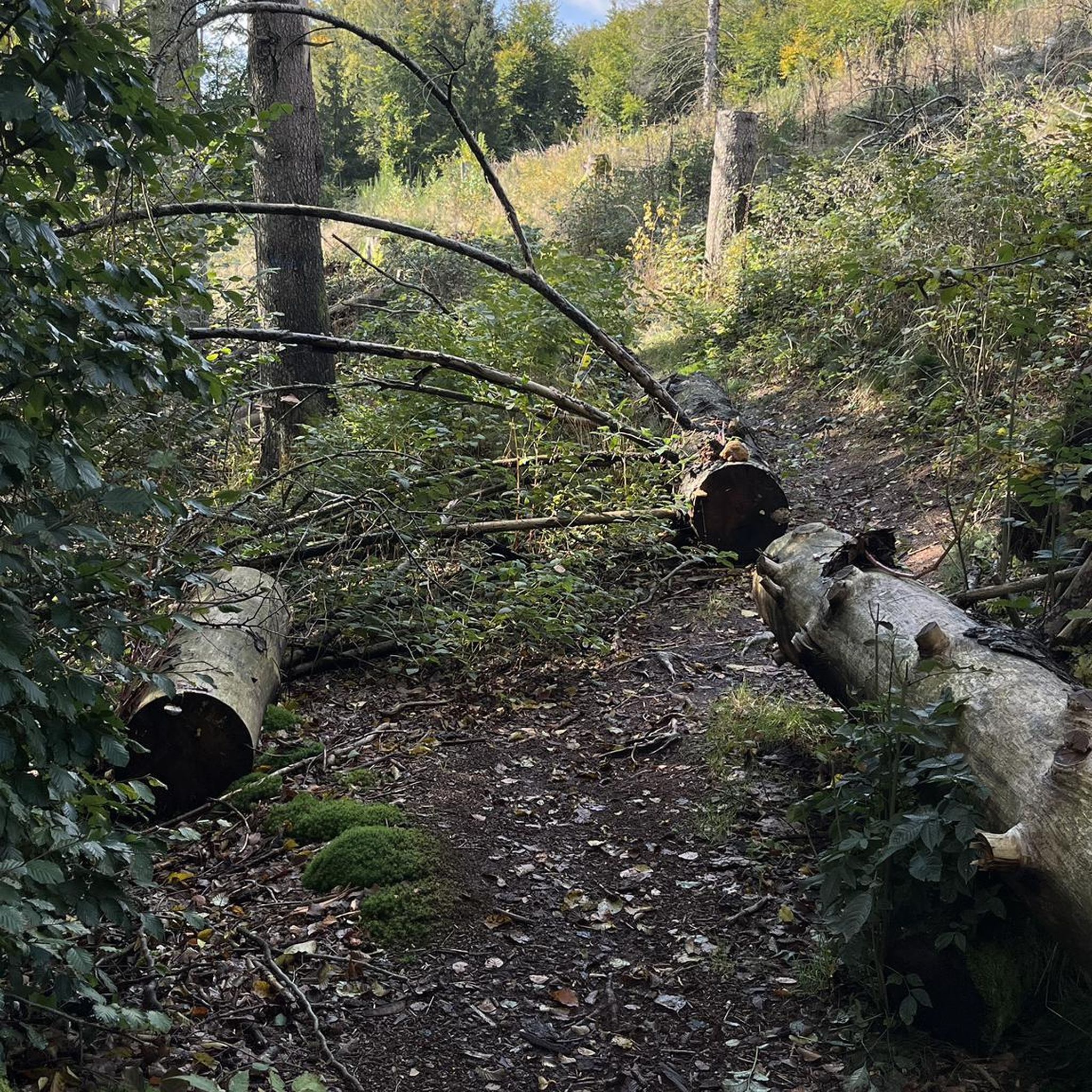
Reachable via narrow single trail uphill
1
0
Here at the "summit cross" of the Heuchelberg, which is located directly on the side of the path, passing hikers can sign the hiking book.
12
0
Once a month - usually on the first Sunday of the month from 11 a.m. to 5 p.m. - the German Alpine Club, Eppingen district group, opens and manages the Ottilienberg tower.
19
1

This is a completely inconspicuous place... but you feel far away from any civilization... absolute peace... nature surrounds you...
2
0

The DAV Eppingen local group's hiking hut is currently open on the first Sunday of every month, whatever the weather.
10
0

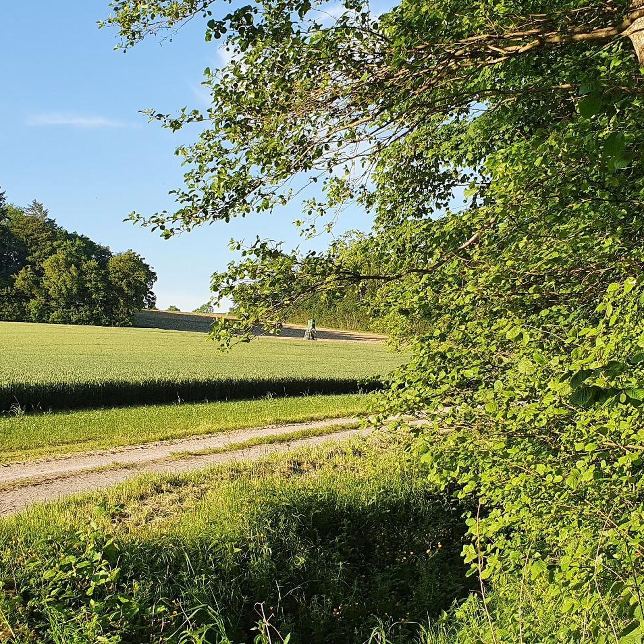
The highest point on the Aspen/Heidelberg. Around the Aspen there is a pharmaceutical vision around Nordheim, Dürrenzimmern and Brackenheim
0
0
Frequently Asked Questions
What kind of elevated points can I expect around Massenbachhausen?
Massenbachhausen itself features a gentle topography with a maximum elevation of 274 meters. While not traditional mountain peaks, the surrounding Heilbronn region offers several elevated points and summits, such as the Heuchelberg Summit (353 m), which provide opportunities for walks and leisurely hikes through pleasant countryside.
Are there any notable viewpoints or landmarks among the elevated points?
Yes, you can visit St. Ottilien Chapel on the Ottilienberg, which is a religious building and viewpoint near Eppingen. It also features a hut and barbecue area. Another point of interest is the Heuchelberg Summit Cross with Trail Register, where hikers can sign a guest book.
What is the highest point in the Heuchelberg area?
The highest elevation in the Heuchelberg area is the Heuchelberg Summit (353 m). This point was created as a landfill and visitors can find an information board about a former missile base before the ascent. While it's the highest, the area around the marker is often overgrown, limiting views.
Are there any family-friendly options for exploring the elevated areas?
Yes, the gentle topography around Massenbachhausen makes many trails suitable for families. The St. Ottilien Chapel on the Ottilienberg, for example, is listed as family-friendly and offers a hut and barbecue area, perfect for a family outing.
What other outdoor activities can I do near these elevated points?
Beyond walking and hiking, the region around Massenbachhausen offers various cycling and running opportunities. You can find numerous road cycling routes, such as those detailed in the Road Cycling Routes around Massenbachhausen guide, or explore running trails like those in the Running Trails around Massenbachhausen guide.
Is there a specific summit that offers a clear viewpoint?
While the highest point of Heuchelberg (353m) might not offer expansive views due to overgrowth, the Heidelberg Summit (Highest Point of Heuchelberg, 336 m) is a summit within a forest that is recognized as a viewpoint, marked by a wooden board on a tree.
What is the best time of year to visit Massenbachhausen for outdoor activities?
The gently rolling landscapes and trails around Massenbachhausen are enjoyable throughout much of the year. Spring and autumn offer pleasant temperatures and beautiful scenery, while summer is ideal for longer days outdoors. Even in winter, the trails can be explored, though conditions may vary.
Are there any historical sites among the elevated points?
Yes, the St. Ottilien Chapel on the Ottilienberg is a pilgrimage chapel built in the 15th century, making it a significant historical site. Additionally, near the Heuchelberg Summit (353 m), you can find an information board detailing a former missile base, adding a layer of recent history to the area.
What kind of trails can I find for cycling around Massenbachhausen?
The region offers a variety of cycling routes suitable for different preferences. You can find easy routes like the 'Massenbach Castle – Amos Mill loop' or moderate ones such as the 'View of Heuchelberger Warte – View of Neipperg Castle loop'. More options are available in the Cycling around Massenbachhausen guide.
What do visitors particularly enjoy about the elevated points and trails in this area?
Visitors appreciate the blend of natural beauty and historical elements. For instance, the St. Ottilien Chapel on the Ottilienberg is praised for its pleasant chapel, hut, and barbecue area, often managed by the Alpine Club, and the impressive adjacent meadow orchard. The forest feeling path from Jägersee is also highly recommended.
Is there a specific highest point within the municipality of Leingarten?
Yes, the Summit Cross Leingarten marks the highest point of Leingarten, at 327 meters above sea level. It is located in the middle of a forest and features a summit book for visitors to sign.
Most popular routes around Massenbachhausen
Most popular attractions around Massenbachhausen

Get inspired with the komoot mobile app


Explore more
See even more amazing summits around Massenbachhausen with these guides:
