The 8 Most Amazing Peaks around Wörth am Main
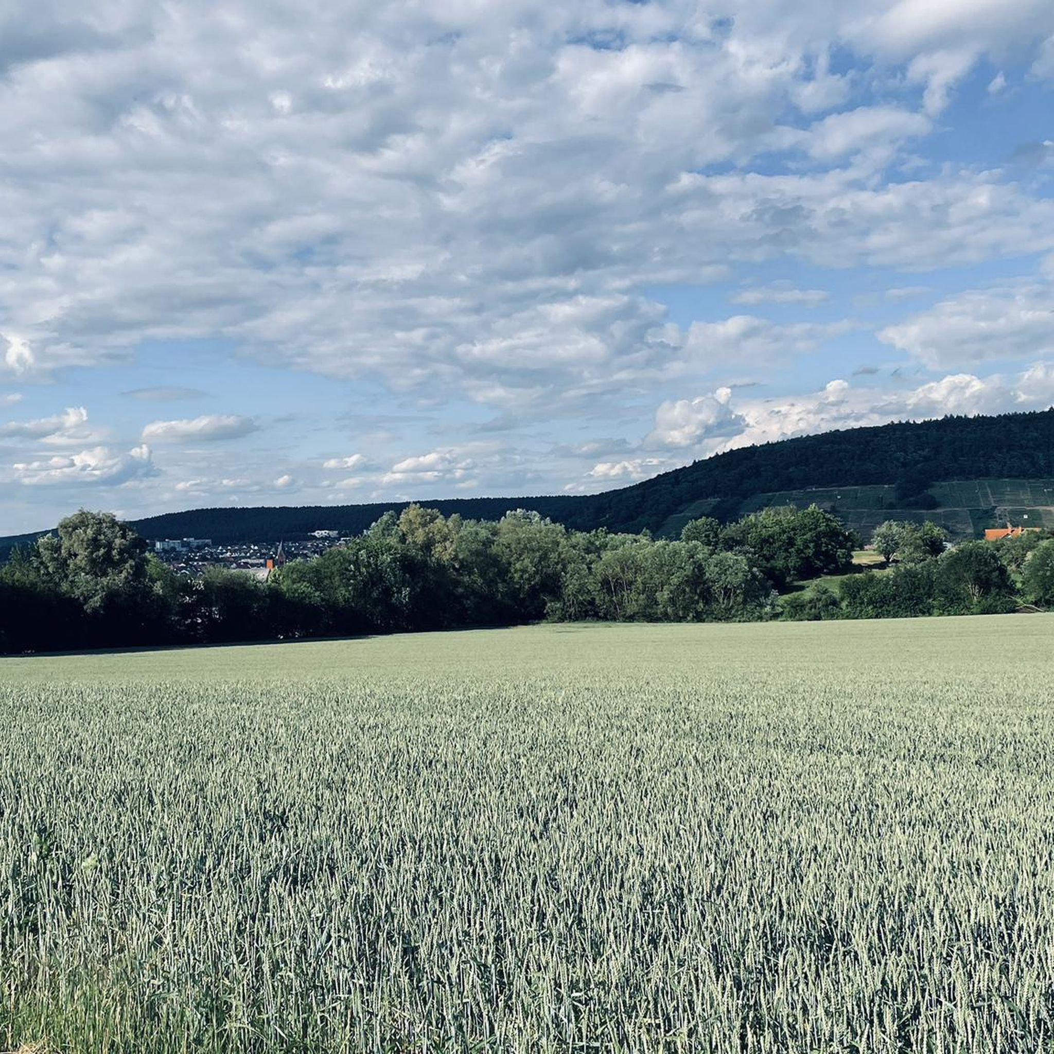
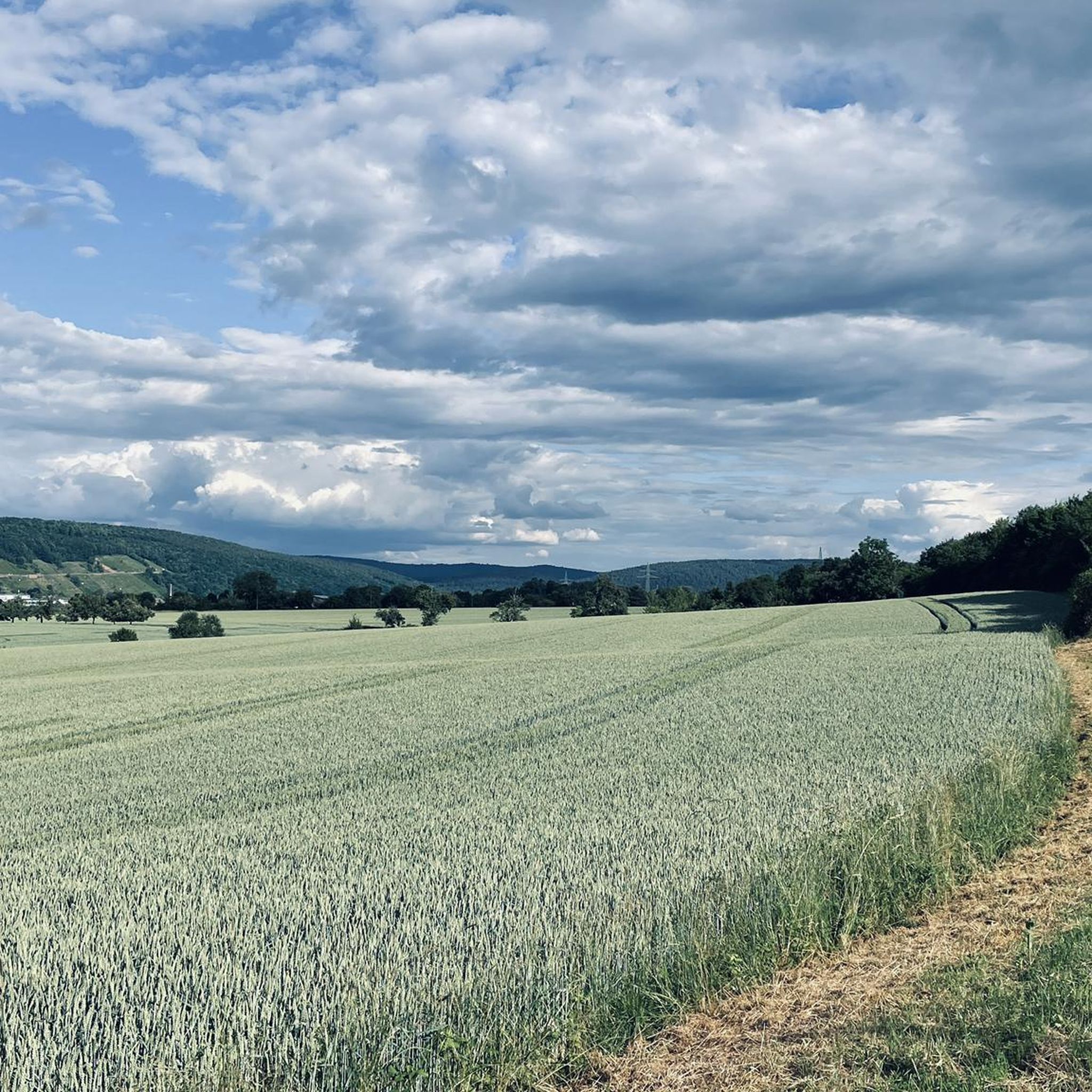
Best mountain peaks around Wörth am Main are found in a region situated between the Odenwald and Spessart hills. The area features the Schabelsberg as its highest elevation within the municipal area, reaching 398 meters above sea level. Wörth am Main boasts a substantial forest area of 1000 hectares, providing over 50 kilometers of signposted hiking trails. This area is also part of the Naturpark Bergstraße-Odenwald, offering diverse landscapes for outdoor activities.
Best mountain peaks around Wörth am Main
- The…
Last updated: May 14, 2026
Ospis Summit Cross
Highlight • Summit
Translated by Google •
Tip by

Borberg summit cross
Highlight • Summit
Translated by Google •
Tip by

Sign up now to discover places like this
Get recommendations on the best single tracks, peaks, & plenty of other exciting outdoor places.
Sign up for free
Geiersberg Summit (512 m)
Highlight • Summit
Translated by Google •
Tip by
Buchenkopf – Highest Point of Wenigumstadt
Highlight • Summit
Translated by Google •
Tip by

Highest Point of Lützel-Wiebelsbach
Highlight • Summit
Nice resting place.
Translated by Google •
Tip by
Sign up for free to discover even more peaks around Wörth am Main.
Sign up for free
Already have an account?
Start today with a free account
Your next adventure awaits.
Login or Signup
Popular around Wörth am Main


Tips from the Community

You can also leave an entry in the summit book today
12
0
Lovingly prepared and decorated for Christmas... you can immortalize yourself in the summit book
13
0

Very nice place in the quiet forest to take a break.
1
0
And if you feel like it, you can sign the summit book... but please put it back... the first one this year has already found a friend... What a pity actually
14
0
Built at the highest point of Großheubach… Time for a little drink
10
0

There is a summit cross and a summit book here
13
1

The summit cross is a cool idea!
5
0

Frequently Asked Questions
What are some popular mountain peaks to visit around Wörth am Main?
Visitors often enjoy the Ospis Summit Cross, known as a very nice place to rest in the forest. Another favorite is the Borberg summit cross, appreciated for its remote and beautiful setting where you can even find a summit book. The Highest Point of Lützel-Wiebelsbach is also popular, offering a cozy spot for a short rest directly on the Limeswanderweg.
Are there any family-friendly mountain trails or peaks in the area?
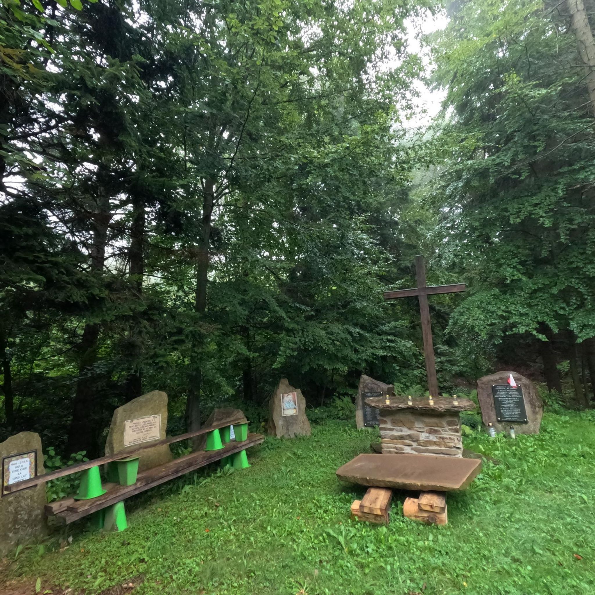
Yes, the Highest Point of Lützel-Wiebelsbach is considered family-friendly, offering a cozy place in the forest ideal for a short rest. Similarly, Buchenkopf – Highest Point of Wenigumstadt is also categorized as family-friendly, featuring a summit cross and a millennium memorial stone.
What is the highest point within the municipal area of Wörth am Main?
The highest elevation within the municipal area of Wörth am Main is the Schabelsberg, reaching 398 meters (approximately 1,306 feet) above sea level on its northern slope.
What kind of natural features can I expect to see on the mountain peaks around Wörth am Main?
The region is characterized by wooded slopes and valleys within the Odenwald and Spessart hills. Many peaks feature summit crosses and offer viewpoints within natural, forested settings. You'll find diverse flora and fauna as the area is part of the Naturpark Bergstraße-Odenwald.
What outdoor activities can I do near these mountain peaks?
The area around Wörth am Main is excellent for various outdoor activities. You can find numerous hiking trails, including moderate loops like the 'Karlshütte Shelter – Diana Forest House loop'. There are also running trails and options for gravel biking, with routes ranging from moderate to difficult.
Are there any remote or less-frequented peaks for a quiet experience?
Yes, the Borberg summit cross is described as a very special place that is beautiful and remote. To reach it, you often have to walk or drive longer, making it mostly deserted and ideal for a quiet visit.
What do visitors enjoy most about the mountain peaks in Wörth am Main?
Visitors appreciate the peaceful and natural settings, often highlighting the opportunity for rest and reflection at summit crosses. The remote beauty of places like the Borberg summit cross and the cozy atmosphere of the Highest Point of Lützel-Wiebelsbach are frequently mentioned. The extensive network of signposted hiking trails through the town forest is also a major draw.
Can I find any unique landmarks or historical sites on these peaks?
Yes, the Buchenkopf – Highest Point of Wenigumstadt features a millennium memorial stone and a summit cross. The Highest Point of Lützel-Wiebelsbach is located directly on the Limeswanderweg, an ancient Roman border fortification, adding a historical dimension to your visit.
Are there easy hiking options for beginners around Wörth am Main's peaks?
While many trails are moderate, you can find easier options. For instance, the 'Wörth Gallows – Descent from the Wörther Forest loop from Trennfurt' is an easy hiking route. The extensive 50 kilometers of signposted trails within the Wörth town forest also offer varied terrain suitable for different fitness levels, including less strenuous paths.
What is the Dachsberg, and why should I visit it?
The Dachsberg – Highest Point of Niedernberg (231 m) is another notable summit in the region. It's considered a place everyone should visit at least once, offering forest views and a sense of accomplishment at its peak.
How extensive are the hiking opportunities in the Wörth am Main area?
Wörth am Main boasts a substantial town forest covering 1000 hectares, which provides over 50 kilometers of signposted hiking trails. These trails traverse various hills and elevated areas, offering ample opportunities for nature walks and scenic views within the Odenwald and Spessart regions.
What is the best time of year to visit the mountain peaks around Wörth am Main?
The region's wooded landscapes and hiking trails are generally enjoyable from spring through autumn, when the weather is mild and the foliage is vibrant. While specific data for winter hiking is limited, the natural beauty of the Odenwald and Spessart hills makes it an attractive destination for outdoor activities during these seasons.
Most popular routes around Wörth am Main
Most popular attractions around Wörth am Main

Get inspired with the komoot mobile app


Explore more
See even more amazing summits around Wörth am Main with these guides:
