The 5 Most Amazing Peaks around Peterslahr
Best mountain peaks around Peterslahr are found within the Naturpark Rhein-Westerwald, characterized by a hikeable landscape of rolling hills rather than dramatic, towering mountains. The region offers elevated areas that provide rewarding views and popular hiking trails. These natural features contribute to the area's appeal for outdoor enthusiasts seeking accessible terrain.
Best mountain peaks around Peterslahr
- The most popular mountain peaks is Bärenkopp summit cross – View of Waldbreitbach, a summit that offers a beautiful view extending as far…
Last updated: May 14, 2026
Bärenkopp summit cross – View of Waldbreitbach
Highlight • Summit
Translated by Google •
Tip by

WällerTour Bärenkopp
Highlight (Segment) • Trail
Translated by Google •
Tip by

Sign up now to discover places like this
Get recommendations on the best single tracks, peaks, & plenty of other exciting outdoor places.
Sign up for free
View from Roßbacher Häubchen
Highlight • Viewpoint
Translated by Google •
Tip by

Dernbacher Kopf
Highlight • Summit
Translated by Google •
Tip by

View from Bertenauer Kopf Shelter
Highlight • Viewpoint
Translated by Google •
Tip by

Start today with a free account
Your next adventure awaits.
Login or Signup
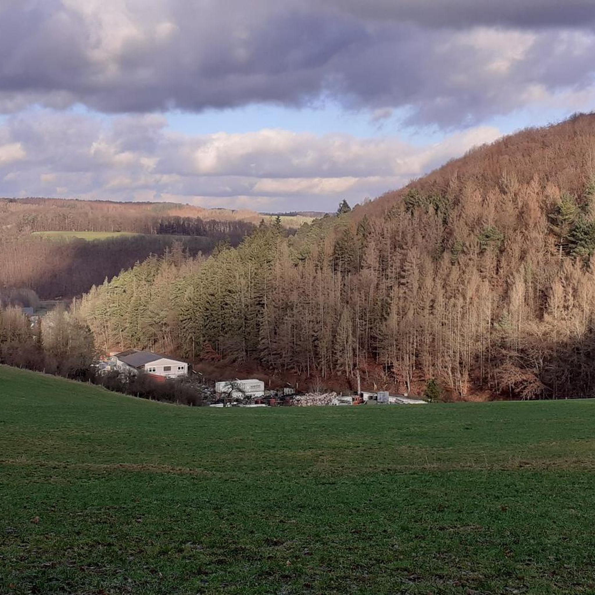
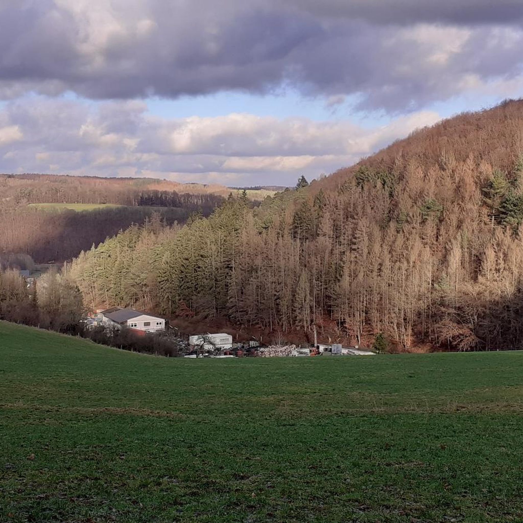
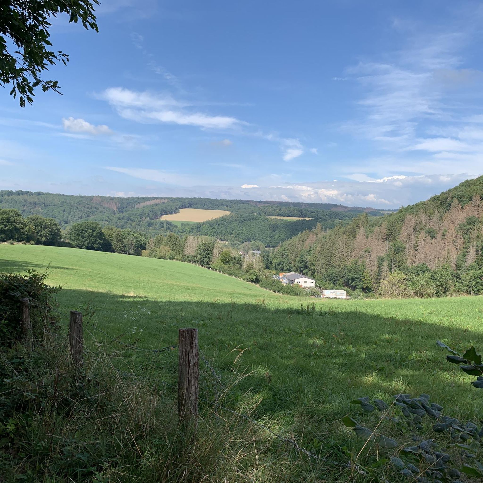
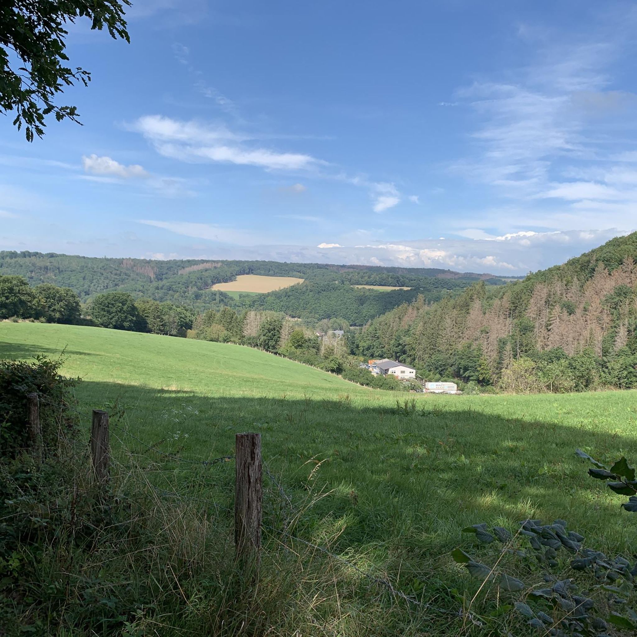
Tips from the Community

The Dernbacher Kopf is the second highest elevation in the Neuwied district. A visit to the summit stone is always worth a visit. The surrounding area offers beautiful views toward the Montabaurer Höhe or the Eifel Mountains.
0
0

Beautiful shelter with a great view.
3
0

This information is really helpful for who really needs this. I hope you will many more write post like this.. https://www-sunpass.com
0
0

The highest point on the Dernbacher Kopf. There is no great view from this point, but this spot is marked with a summit stone with an inscription.
0
0

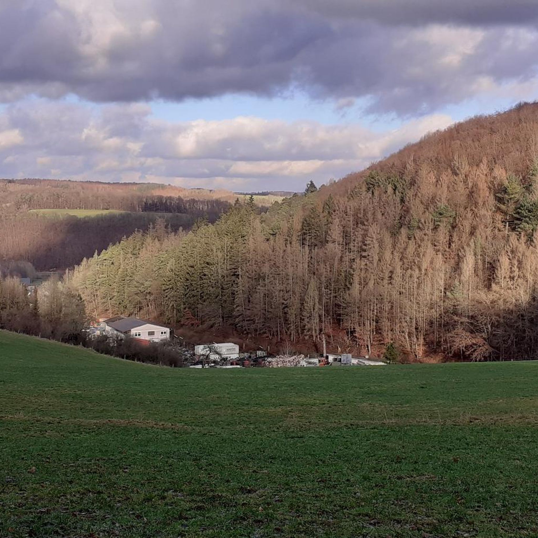
The view extends as far as the Siebengebirge. At least you are well protected from rain if it is not too stormy.
1
0

There are two ways to the summit (Bärenkopp), I chose the steep route. A bit of a challenge, but I'm happy to have made it.
4
0

There is a refuge on the summit of the Bertenauer Kopf. When it's windy, there's a draft in the hut, at least on your head. From there you have a great view towards the Siebengebirge!
5
0
Frequently Asked Questions
What are some popular mountain peaks and viewpoints around Peterslahr?
The region around Peterslahr, within the Naturpark Rhein-Westerwald, offers several elevated points and viewpoints. Popular spots include Bärenkopp summit cross – View of Waldbreitbach, known for its panoramic views extending to the Siebengebirge. Another significant point is Oernbacher Kopf (427 m), which is the highest point in this immediate area. You can also find rewarding distant views from the View from Bertenauer Kopf Shelter.
Are there easy hiking trails to reach these peaks?
Yes, the Peterslahr area is characterized by a hikeable landscape with rolling hills, making many trails accessible. For example, to reach Bärenkopp, you can choose between a shorter, steeper path or a slightly longer, less arduous one. Many routes in the region are rated as intermediate, but there are also easy options available. You can find several easy hiking routes in the area, such as those listed in the Easy hikes around Peterslahr guide.
What kind of views can I expect from the peaks near Peterslahr?
From peaks like Bärenkopp and the Bertenauer Kopf Shelter, you can expect beautiful distant views, often extending as far as the Siebengebirge mountains. These spots provide tranquil settings to enjoy panoramic scenery over the forested Westerwald landscape.
Is Peterslahr suitable for family-friendly hikes?
While specific 'family-friendly' categories aren't always explicitly listed for every peak, the general character of Peterslahr's rolling hills and intermediate to easy trails makes it suitable for families. Many routes are well-marked and offer benches for rest, which can be beneficial for families with children. The Easy hikes around Peterslahr guide is a good resource for finding suitable routes.
Can I bring my dog on the trails around Peterslahr's peaks?
Generally, trails in the Naturpark Rhein-Westerwald are dog-friendly, but it's always advisable to keep dogs on a leash, especially in forested areas or near wildlife. The natural paths and varied terrain around Peterslahr's peaks offer a great environment for walks with your dog.
What is the highest point I can visit in the Peterslahr area?
The highest point you can visit in the immediate Peterslahr area is Oernbacher Kopf (427 m). This summit allows visitors to experience the forest landscape at an elevated location.
Are there circular hiking routes that include these peaks?
Yes, there are several circular hiking routes in the region. For instance, the WällerTour Bärenkopp is a well-marked circular route that includes the Bärenkopp summit, offering a very nice circuit on rustic paths. You can find more options in the Hiking around Peterslahr guide.
What other outdoor activities can I do near Peterslahr's peaks?
Besides hiking, the Peterslahr region is also popular for cycling. There are various cycling routes available, ranging from moderate to challenging. You can explore options like the 'Döttesfeld Tunnel – Wied Bridge loop' or the 'Wied Valley – Urbacher Weiher loop'. More details can be found in the Cycling around Peterslahr guide.
What is the best time of year to hike the peaks around Peterslahr?
The Peterslahr region is beautiful year-round. Spring brings blooming nature, summer offers lush green forests, and autumn provides stunning fall foliage. Even in winter, with appropriate gear, the trails can be enjoyed, though some paths might be slippery or covered in snow. For the most comfortable hiking experience, late spring to early autumn is generally recommended.
Are there places to rest or shelter on the trails?
Yes, several spots offer places to rest. For example, the summit of Bärenkopp has a bench where you can rest and enjoy the view. The Bertenauer Kopf Shelter also provides a refuge where hikers can take a break and enjoy distant views.
What should I know about the terrain when hiking the peaks near Peterslahr?
The terrain around Peterslahr consists primarily of rolling hills and forested paths within the Westerwald. While not dramatically mountainous, trails can vary from easy, well-trodden paths to more rustic and occasionally steep sections, especially when ascending to summits like Bärenkopp. Expect natural surfaces, including dirt paths, forest floors, and some gravel sections.
What do visitors particularly enjoy about the peaks around Peterslahr?
Visitors frequently highlight the beautiful panoramic views, especially those extending to the Siebengebirge. The tranquility of the forested paths and the opportunity to rest at scenic spots like the Bärenkopp summit or the Bertenauer Kopf Shelter are also highly appreciated. The well-marked and varied hiking routes, such as the WällerTour Bärenkopp, are also a big draw for outdoor enthusiasts.
Most popular attractions around Peterslahr

Get inspired with the komoot mobile app


Explore more
See even more amazing summits around Peterslahr with these guides:
