The 6 Most Amazing Peaks around Unterpleichfeld
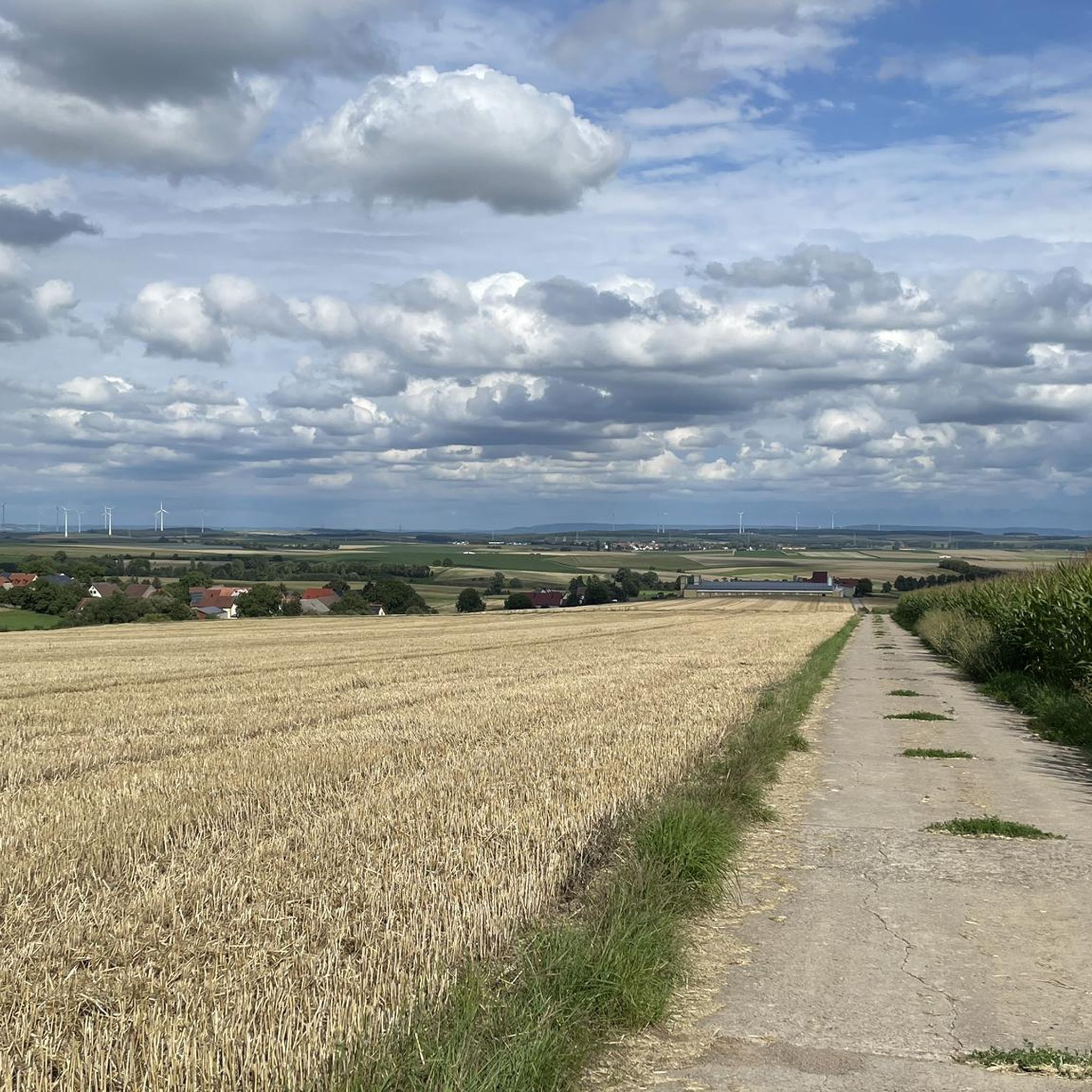
Best mountain peaks around Unterpleichfeld are characterized by gentle hills and rises rather than prominent, traditional peaks. This municipality in Bavaria, Germany, features an average elevation of 276.1 meters, with its highest points reaching approximately 356 meters above sea level. The surrounding region offers a landscape of undulating hills, providing opportunities for hiking and enjoying the Bavarian countryside, particularly along the Main river and in local vineyards. These elevations offer panoramic views across the Main valley, Steigerwald, and Rhön.
Best…
Last updated: May 14, 2026
Kreuzberg Panoramic Hill – Summit of the Wine Island
Highlight • Viewpoint
Translated by Google •
Tip by

Steinhöhe Summit Cross
Highlight • Summit
Translated by Google •
Tip by

Sign up now to discover places like this
Get recommendations on the best single tracks, peaks, & plenty of other exciting outdoor places.
Sign up for free
Luisenhöhe Summit Cross
Highlight • Summit
Translated by Google •
Tip by

Breitfeldhöhe Summit and Panoramic Viewpoint
Highlight • Summit
Translated by Google •
Tip by

Breitfeldhöhe – Highest Point Near Retzbach
Highlight • Summit
Translated by Google •
Tip by
Sign up for free to discover even more peaks around Unterpleichfeld.
Sign up for free
Already have an account?
Start today with a free account
Your next adventure awaits.
Login or Signup

Tips from the Community

Summit cross – the highest point above the rooftops of Retzstadt. A bit hidden, but a lovely place to take a break. ☺️
0
0

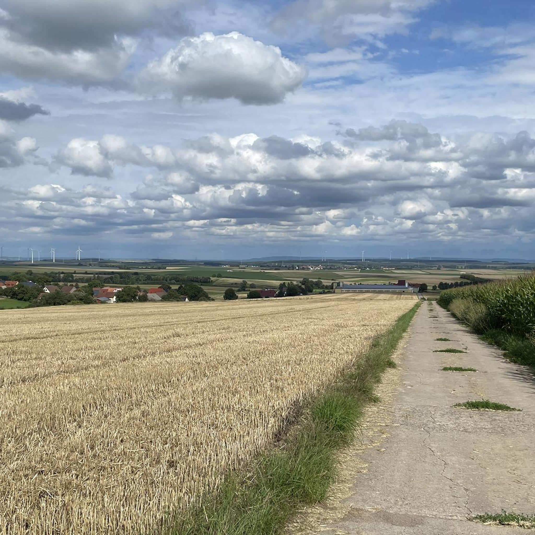
Beautiful view of the many wind turbines 🥰
0
0

A great view here
2
0

Highest point in the Würzburg district. Orientation stone showing which town is in which direction.
0
0

Very nice surroundings The view is also beautiful, worth it
2
0

The colorful panorama painting with "Frankonia" stepping on the tail of the Bavarian lion is really a fine thing! ⚪️💪🏽🔴 😇
5
0

At the highest point
2
0
Frequently Asked Questions
What are some of the most notable elevated points around Unterpleichfeld?
While Unterpleichfeld features gentle hills rather than traditional mountain peaks, several elevated points offer beautiful views. Highly recommended by visitors are the Kreuzberg Panoramic Hill – Summit of the Wine Island, known for its wonderful 360-degree views, and the Luisenhöhe Summit Cross, which provides a fantastic panoramic view over the Mainbogen to the Steigerwald, Haßberge, and Rhön.
Are there family-friendly elevated points or viewpoints near Unterpleichfeld?
Yes, several elevated points around Unterpleichfeld are considered family-friendly. The Kreuzberg Panoramic Hill – Summit of the Wine Island is a great option, offering scenic beauty and information boards. The Steinhöhe Summit Cross also provides a flat summit with a bench, perfect for a family break.
What kind of natural features can I expect to see from these elevated points?
From the elevated points around Unterpleichfeld, you can expect to see rolling landscapes, picturesque vineyards, and panoramic views across the Main valley. Locations like the Luisenhöhe Summit Cross offer expansive vistas of the Mainbogen, Steigerwald, Haßberge, and Rhön. The region's charm lies in its undulating hills and natural scenery.
What outdoor activities can I do near these elevated points?
The region around Unterpleichfeld is ideal for various outdoor activities. You can enjoy hiking along the Main river and through vineyards. For more structured routes, consider exploring the many options available, such as the 'Hohenroth Forest Chapel – Platte loop from Hilpertshausen' for hiking, or 'Unterpleichfeld – Bahnstraße Seligenstadt loop from Unterpleichfeld' for road cycling. Find more routes in the Hiking around Unterpleichfeld or Road Cycling Routes around Unterpleichfeld guides.
Are there specific hiking trails near the elevated points around Unterpleichfeld?
Yes, there are numerous hiking trails that incorporate or pass by these elevated points. For example, you can find easy routes like the 'Fish Nature Trail Question 19 – Milk House (1953) loop from Unterpleichfeld' or the 'Koller Family Memorial Stone loop from Unterpleichfeld'. These trails allow you to experience the gentle hills and scenic views. More hiking options are detailed in the Hiking around Unterpleichfeld guide.
What do visitors enjoy most about the elevated points in the Unterpleichfeld area?
Visitors particularly enjoy the extensive panoramic views offered by these elevated points. Many appreciate the peaceful atmosphere and the opportunity to take a break, especially at spots like the Steinhöhe Summit Cross, which has a bench. The scenic beauty, especially in the early morning light, and the clear views of distant landmarks are frequently highlighted in visitor tips.
Where can I find the highest elevations in the Maindreieck area?
The Breitfeldhöhe Summit and Panoramic Viewpoint, with a height of 387 meters, is the highest elevation in the Maindreieck. It offers a wide panorama of Spessart, Rhön, and Steigerwald, and is also known as one of the magical places of Frankenwein.
Are there any elevated points with unique features or historical significance?
The Steinhöhe Summit Cross is notable as one of the highest elevations on the eastern slopes of the Main valley north of Würzburg. Its summit is marked by a group of wind wheels, offering a distinctive sight and a place to rest. The Luisenhöhe Summit Cross also features new display boards that provide geographical orientation to German locations.
What is the best time to visit the elevated points around Unterpleichfeld?
The region's undulating hills and natural scenery are conducive to outdoor activities throughout much of the year. The early morning light is often mentioned as particularly beautiful for views from spots like the Kreuzberg Panoramic Hill. Spring and autumn offer pleasant temperatures for hiking, while summer provides lush green landscapes. Even in winter, the gentle elevations can be enjoyed, though specific winter hiking trails should be checked.
Can I find gravel biking routes near the elevated points?
Yes, the area around Unterpleichfeld offers gravel biking opportunities. Routes like the 'Hohenroth Forest Chapel – Einsiedel Beer Garden loop from Rimpar' or the 'Lindelbach Historic Quarry – Vineyards of Lower Franconia loop from Rottendorf' provide varied terrain suitable for gravel bikes. You can explore more options in the Gravel biking around Unterpleichfeld guide.
What should I wear when hiking the elevated points in this region?
Given the gentle topography, comfortable hiking shoes are generally sufficient. Layers are advisable to adapt to changing weather conditions, especially when visiting viewpoints where it might be windier. On hot days, remember to bring enough drinks, as suggested by visitors to the Kreuzberg Panoramic Hill.
Most popular routes around Unterpleichfeld
Most popular attractions around Unterpleichfeld

Get inspired with the komoot mobile app


Explore more
See even more amazing summits around Unterpleichfeld with these guides:
