The 5 Most Amazing Peaks around Gerbrunn
Mountain peaks around Gerbrunn offer elevated natural points and historical sites within the surrounding Würzburg area. While Gerbrunn itself is at an elevation of 244 meters, nearby locations provide scenic views and hiking opportunities. These elevated areas are considered notable high points in the local context. The region features a mix of forested recreational spaces and historical landmarks.
Best mountain peaks around Gerbrunn
- The most popular mountain peaks is View of Würzburg from Gieshügel, a viewpoint that offers a…
Last updated: September 29, 2026
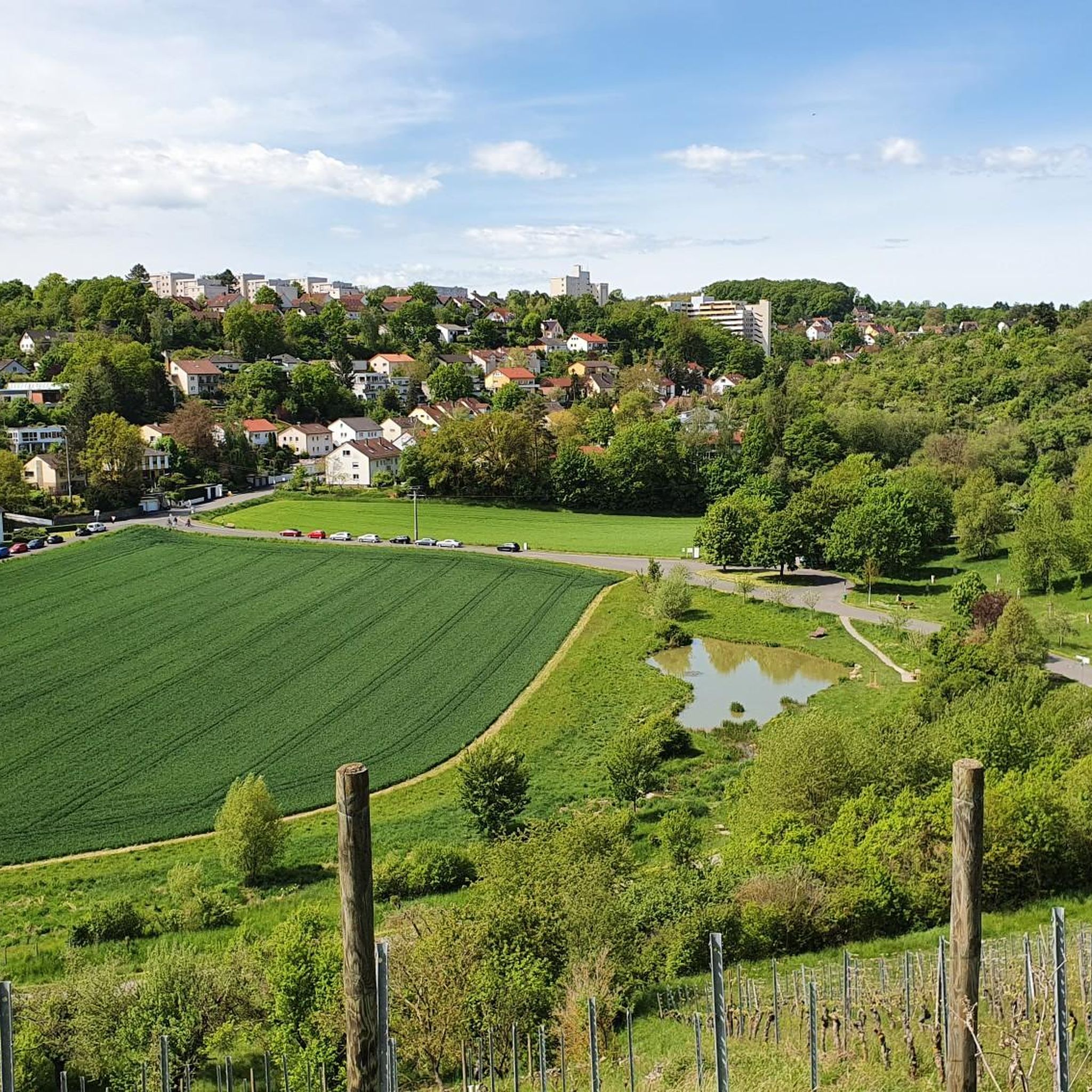
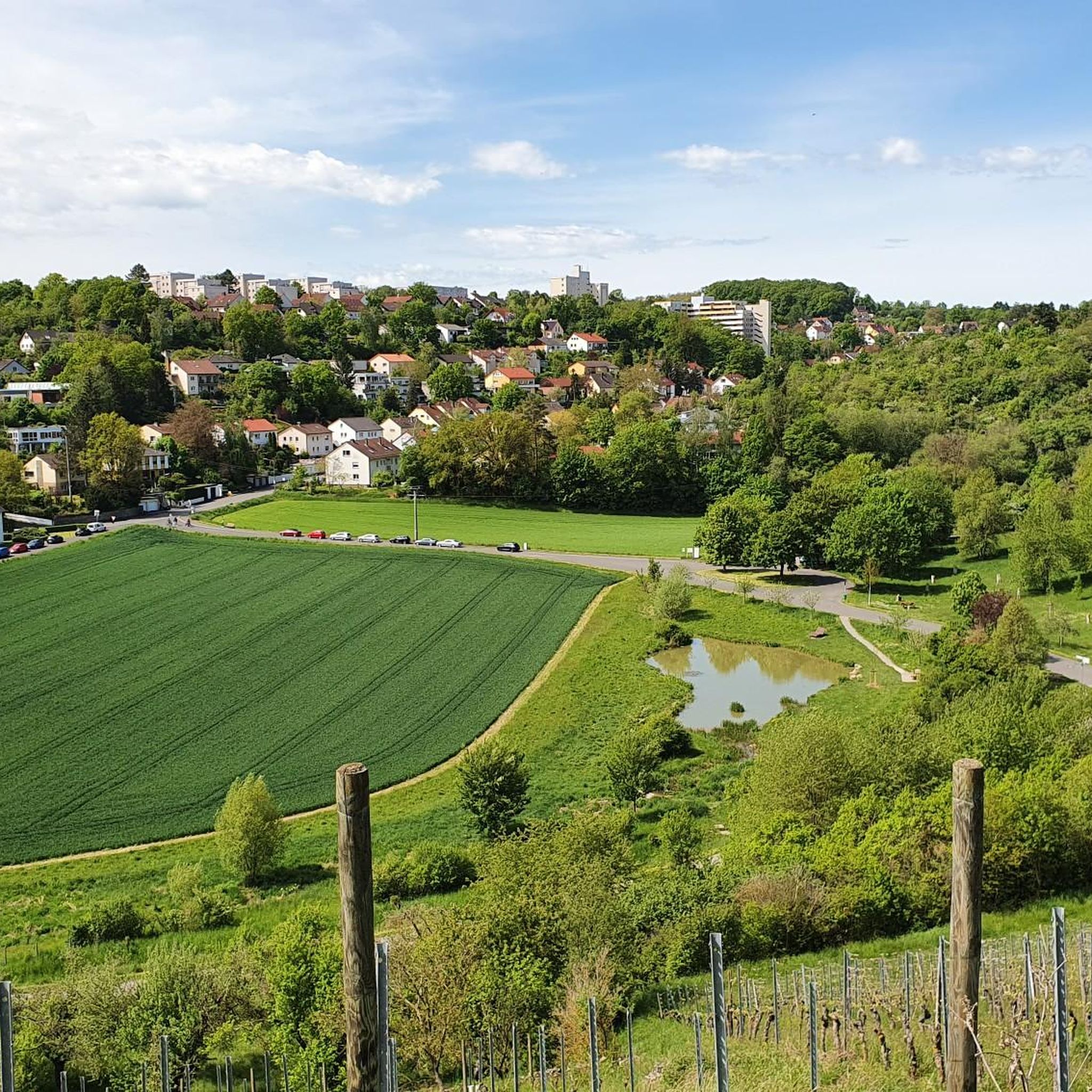
Nussbaum Darstadt – Highest Point with a View
Highlight • Viewpoint
Translated by Google •
Tip by

Gieshügel
Highlight • Summit
Translated by Google •
Tip by

Sign up now to discover places like this
Get recommendations on the best single tracks, peaks, & plenty of other exciting outdoor places.
Marienberg summit (267 m) with watchtower
Highlight • Viewpoint
Showing Translation
Tip by

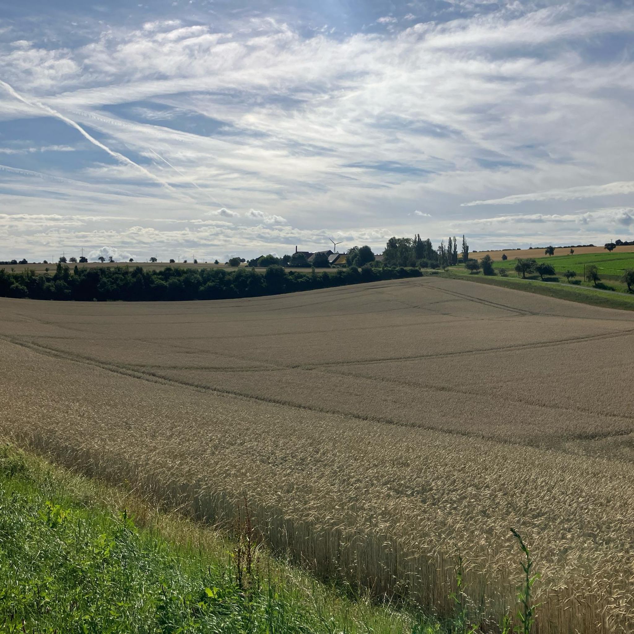
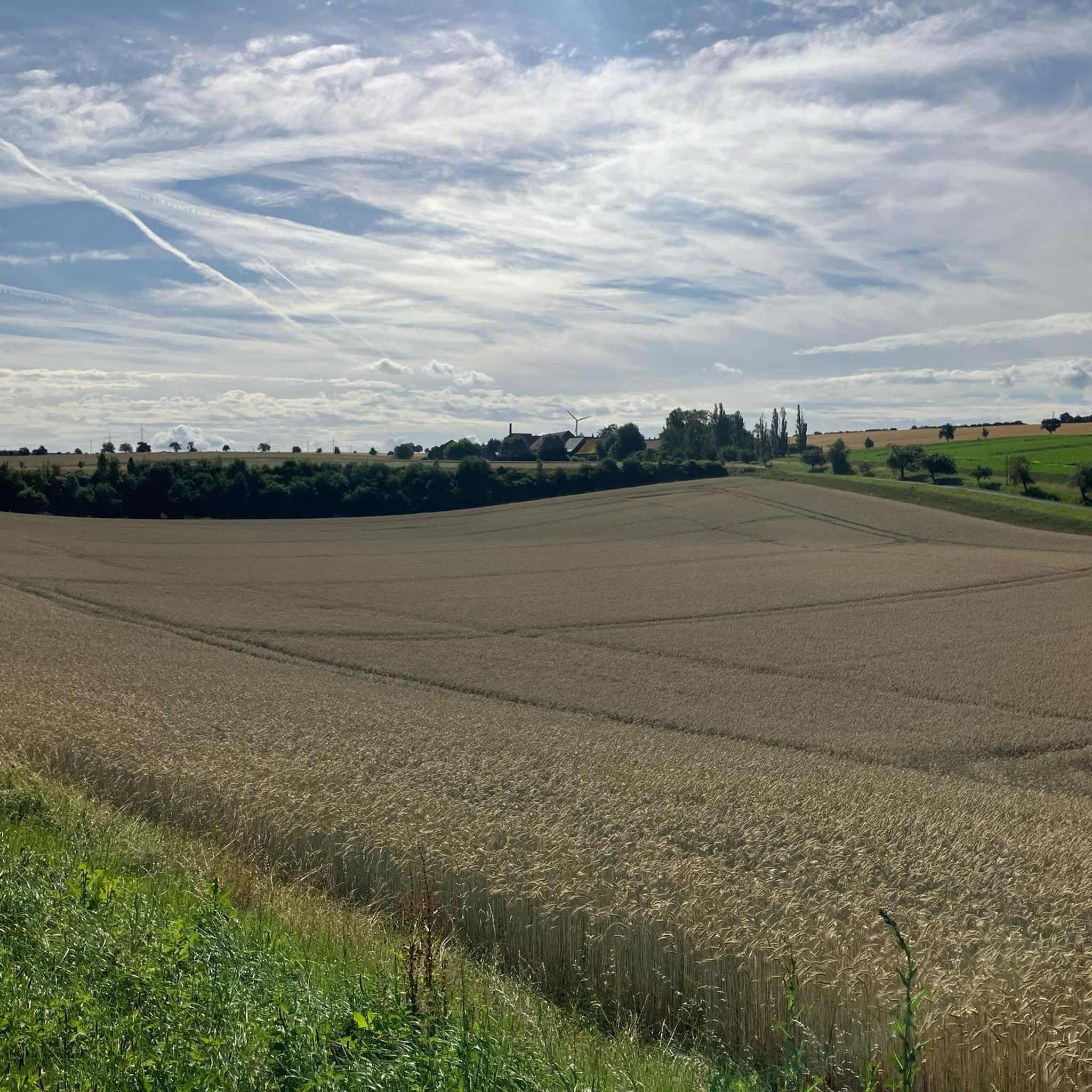
Harvester Spur
Highlight (Segment) • Summit
Translated by Google •
Tip by

Start today with a free account
Your next adventure awaits.

Tips from the Community

Due to construction work, the summit, i.e. the inner courtyard of the fortress, can only be reached via a guided tour of the fortress - summit collectors please note, otherwise Komoot will not recognize the summit!
0
0
Summit of Marienberg at 267m altitude with defense tower
0
0

Beautiful singletrack trails, perfect for a relaxed run! And of course, it's wonderful to find a shelter to take a short break in the rain... ;-)
0
0

A beautiful and striking resting place. The walnut tree is a few years old and is beautiful.
0
0


There is a bench by the walnut tree to enjoy the great view.
1
0
Frequently Asked Questions
Where can I find the best panoramic views near Gerbrunn?
For stunning panoramic views, head to View of Würzburg from Gieshügel, which offers a great perspective of the city. Another excellent spot is Nussbaum Darstadt – Highest Point with a View, where you can enjoy the scenery from 315 meters above sea level. Additionally, the historic Marienberg Fortress in Würzburg provides breathtaking vistas over the city and the Main river.
Are there family-friendly elevated points or viewpoints near Gerbrunn?
Yes, several elevated points are suitable for families. Both View of Würzburg from Gieshügel and Nussbaum Darstadt – Highest Point with a View are categorized as family-friendly. The Kapellenberg also offers an easy hike with some elevation gain, making it a good option for a relaxed family outing.
Are there any historical sites among the elevated points near Gerbrunn?
Absolutely. The most prominent historical site is the Marienberg Fortress in Würzburg. This iconic fortress sits on a hill about 100 meters above the Main River and houses two museums, offering a rich blend of history, culture, and panoramic views. You can learn more about Würzburg's history at Historic Germany.
What outdoor activities can I do near the elevated points around Gerbrunn?
The area around Gerbrunn offers a variety of outdoor activities. You can find numerous hiking trails, including easy walks like the 'Blue Hill – Relief Panel at Kapellenberg loop'. For cyclists, there are MTB trails, and runners can explore various running routes.
Are there specific hiking trails that lead to these elevated points?
Yes, there are several hiking trails that incorporate or lead near these elevated points. For instance, the 'View of Marienberg Fortress – View of Würzburg loop' is a moderate hike that offers views of the fortress. The Kapellenberg is also part of an easy hiking loop directly accessible from Gerbrunn. You can find more options in the Hiking around Gerbrunn guide.
Are there any challenging trails or summits for experienced hikers near Gerbrunn?
While Gerbrunn itself doesn't have towering peaks, the Harvester Spur is noted for its singletrack trails, which can offer a more challenging experience for those seeking a dynamic run or ride. The Unglücksberg, within the Würzburg city forest, also provides moderate hiking challenges in a forested environment.
What do visitors appreciate most about the elevated points near Gerbrunn?
Visitors particularly enjoy the stunning panoramic views, especially from spots like Gieshügel and Nussbaum Darstadt. The combination of natural beauty, historical significance at Marienberg Fortress, and the opportunity for relaxed runs or breaks on trails like the Harvester Spur are highly valued.
What is the best time to visit the elevated points around Gerbrunn?
The elevated points and trails around Gerbrunn are enjoyable throughout much of the year. Spring and autumn offer pleasant temperatures for hiking and clear views. Summer is also great, though it can be warmer. Even in winter, if conditions allow, some trails can be explored, especially those in forested areas like Unglücksberg.
Are the elevated points and trails around Gerbrunn dog-friendly?
Generally, the natural areas and trails around Gerbrunn are dog-friendly. Many local hiking and walking paths, including those leading to viewpoints and through forested areas like Unglücksberg, welcome dogs. Always ensure your dog is on a leash and that you clean up after them to maintain the natural environment for everyone.
How can I reach the elevated points near Gerbrunn using public transport?
While Gerbrunn itself is a municipality, many of the notable elevated points are accessible from Würzburg, which has good public transport connections. From Würzburg, local buses can take you closer to areas like Marienberg Fortress or the Würzburg city forest where Unglücksberg is located. For specific routes and schedules, it's best to check local transport information.
What's the difference between elevated points directly in Gerbrunn versus those in Würzburg?
Gerbrunn itself, at 244 meters, doesn't feature prominent mountain peaks. Its local elevated points, like Kapellenberg, offer accessible, easy hikes. In contrast, the nearby Würzburg area boasts more significant elevated experiences. For example, the Marienberg Fortress rises about 100 meters above the Main River, offering historical significance and grander panoramic views, while Unglücksberg provides more extensive forested hiking opportunities.
Most popular routes around Gerbrunn
Most popular attractions around Gerbrunn

Get inspired with the komoot mobile app


Explore more
See even more amazing summits around Gerbrunn with these guides:
