The 7 Most Amazing Peaks around Burgschleinitz-Kühnring
Best mountain peaks around Burgschleinitz-Kühnring are situated in the picturesque Waldviertel region, characterized by gentle hills rather than prominent mountains. The highest elevations include the Sonnwendberg at approximately 413 meters and the Schmalzberg at around 402 meters. These elevated points offer opportunities for easy hikes and walks, allowing visitors to experience the region's natural scenery. The area combines natural beauty with historical attractions, providing a tranquil hiking landscape.
Best mountain peaks around Burgschleinitz-Kühnring
- The most popular mountain peaks is Kogelsteine…
Last updated: June 26, 2026
Pope’s Tower
Highlight • Viewpoint
In 1983 the Papal Observatory was opened near Doberndorf. This was built on the occasion of the …
Translated by Google •
Tip by

Pyramids on the Manhartsberg
Highlight • Monument
Translated by Google •
Tip by

Sign up now to discover places like this
Get recommendations on the best single tracks, peaks, & plenty of other exciting outdoor places.
Sign up for free
Manhartsberg Summit and Memorial Cross
Highlight • Summit
Translated by Google •
Tip by

Kogelsteine
Highlight • Natural Monument
A historical place - as many finds prove, our ancestors already enjoyed this place.
Translated by Google •
Tip by

Summit of the Stiefern Way of the Cross
Highlight • Religious Site
Translated by Google •
Tip by

Sign up for free to discover even more peaks around Burgschleinitz-Kühnring.
Sign up for free
Already have an account?
Start today with a free account
Your next adventure awaits.
Login or Signup

Tips from the Community

Very beautiful Way of the Cross from STiefern to Schönberg.
0
0

Unfortunately, it is almost no longer accessible (logs were deliberately deposited here) and the ascent is blocked.
1
0

In 1983, the Papstwarte near Doberndorf was opened. It was built on the occasion of the visit of Pope John Paul II. With a total of 119 steps, you reach a height of 24 meters - the tower itself is located at an altitude of 497 meters above sea level. It was designed by Robert Krapfenbauer, who was born in Rodingersdorf in 1923. Doberndorf belonged to Rodingersdorf until 1920 and the tower can be found in the middle of the forest about halfway between Doberndorf and Rodingersdorf - access by car is possible. The tower is not accessible as of September 2024. It is privately owned and cordoned off. It is currently not possible to say whether and when it will be open to the public again.
1
0

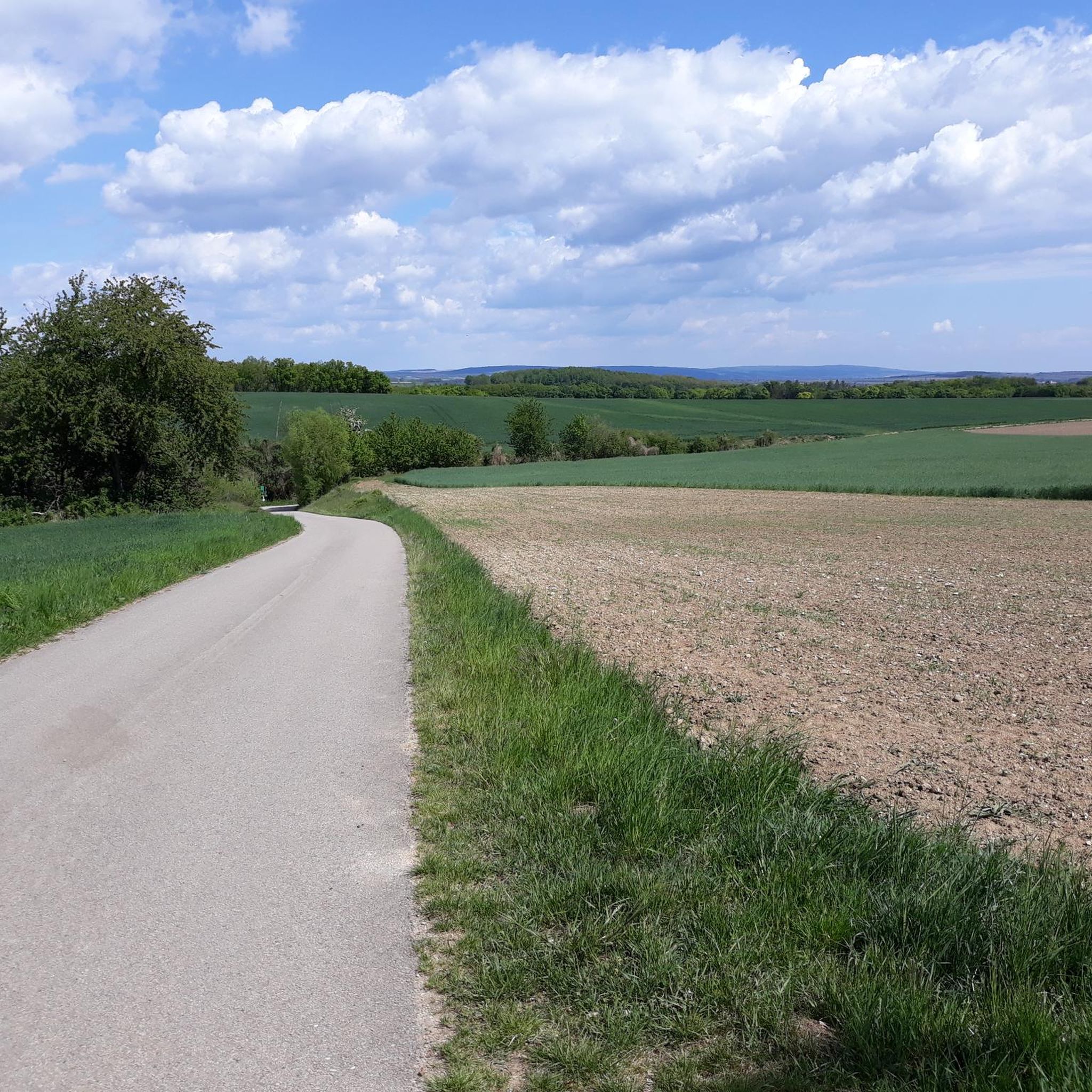
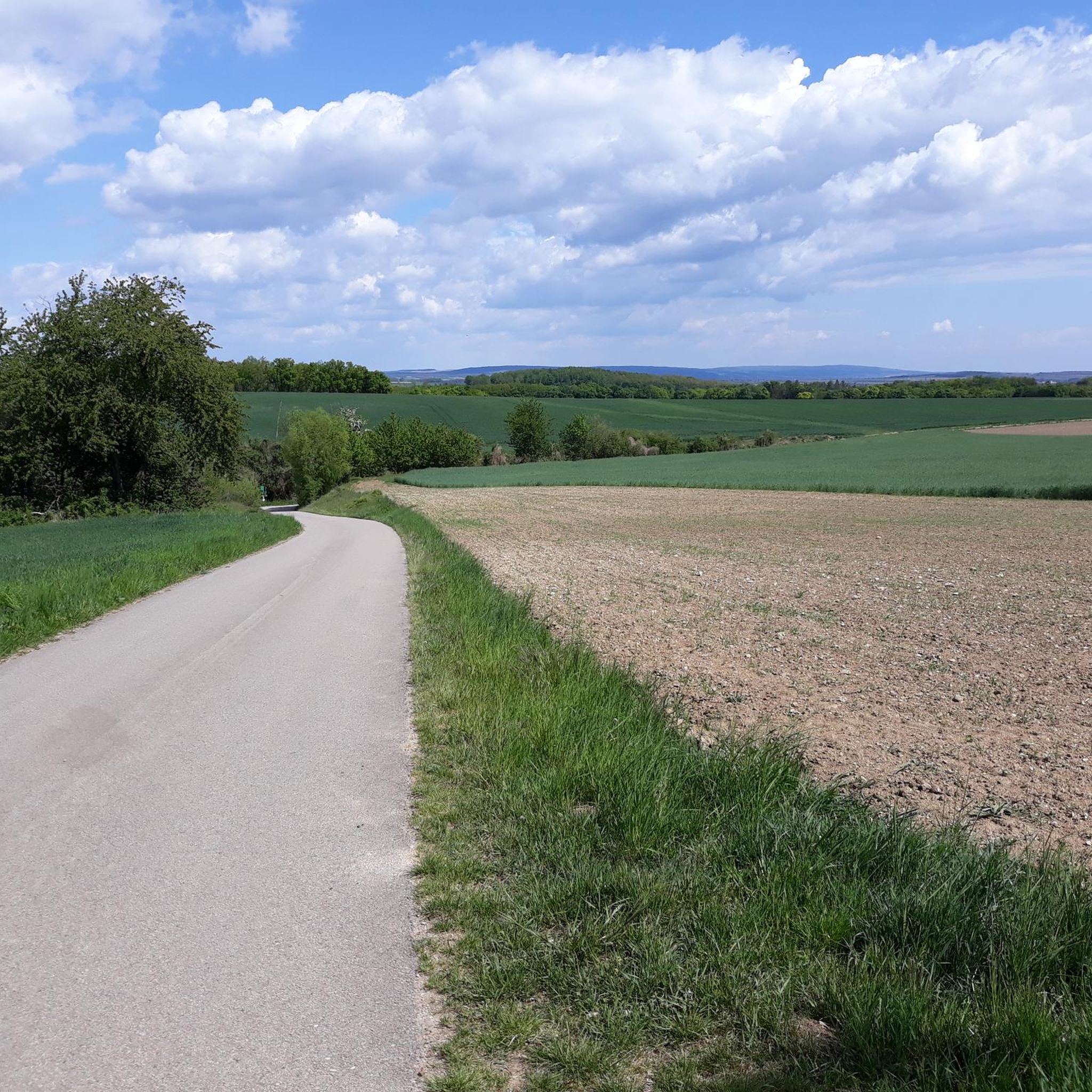
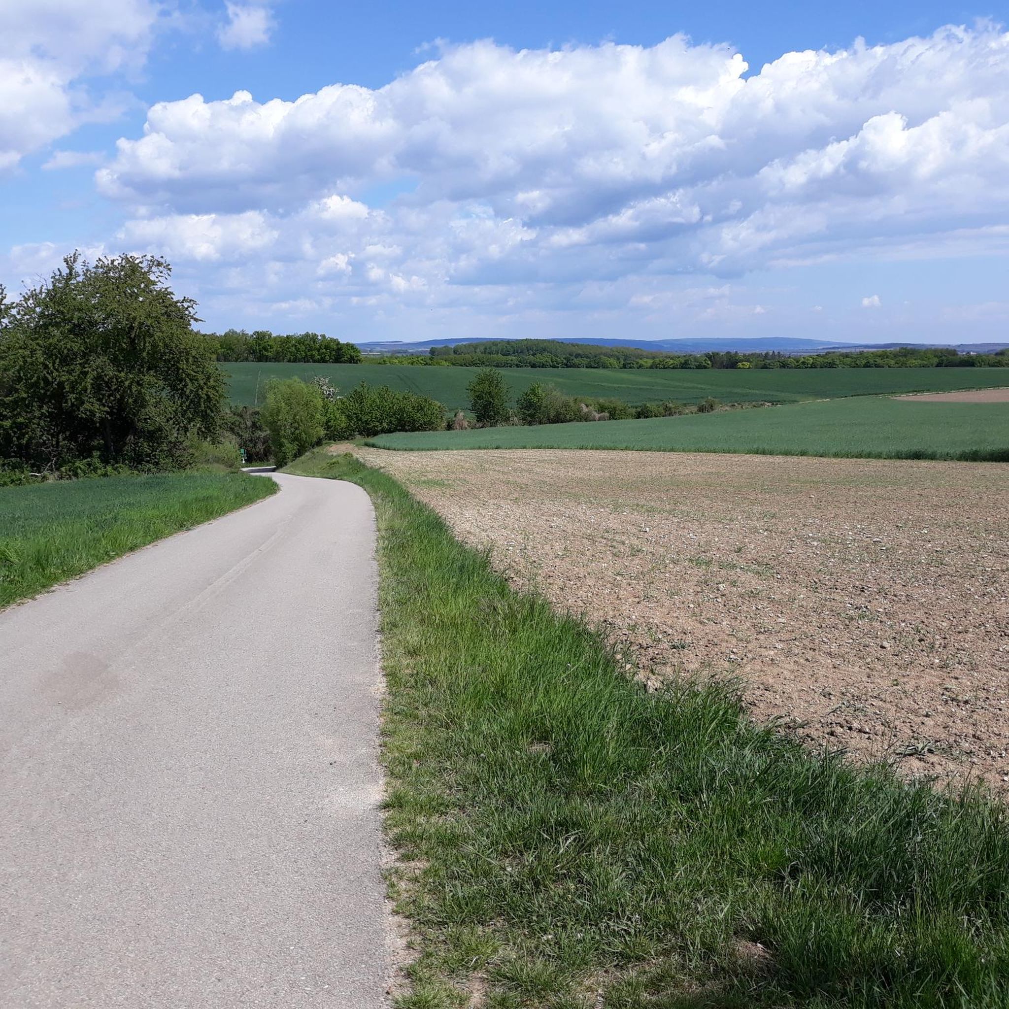
A beautifully developed quiet cycle path in a beautiful landscape - I came from the prehistoric cycle path
0
0

The Manhartsberg region on the border between the Waldviertel and Weinviertel is a centuries-old settlement area with natural beauty, fertile landscapes, good infrastructure and a high quality of life. Around 11,200 people live in the seven communities on the ridge of the Manhartsberg (537 m), which forms the gateway to the Waldviertel, on 240 km2.
1
0

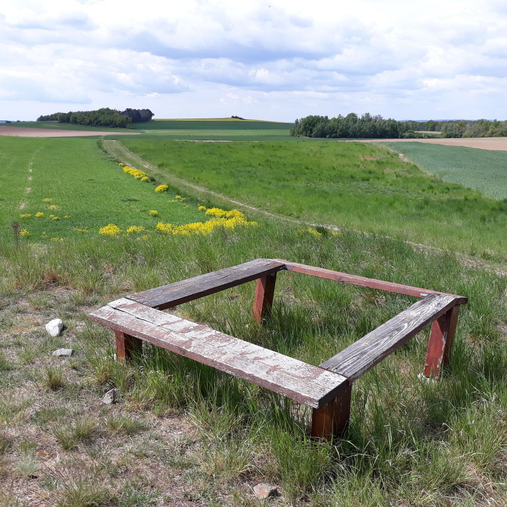
You feel like you are in the Blockheide in miniature
0
0
Visible orientation aid on the tour.
0
0
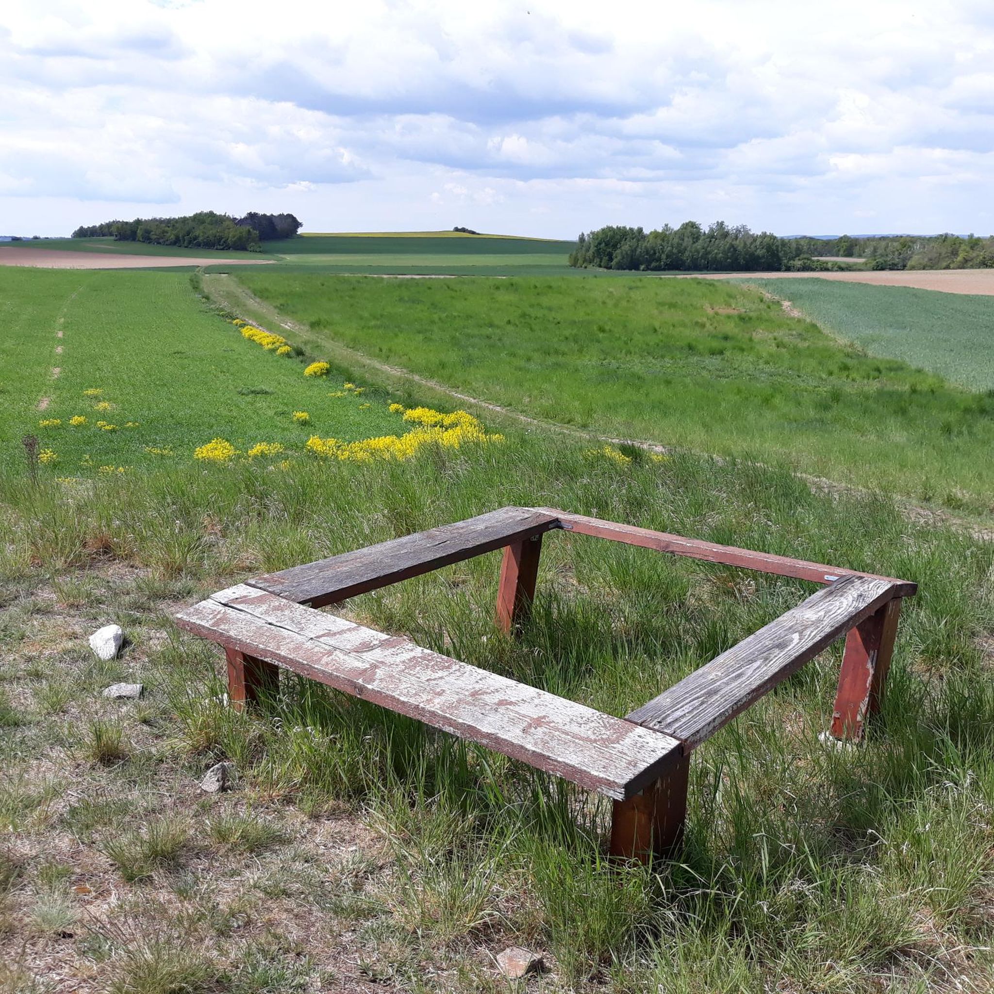
Wonderful view of the Weinviertel. A historical place - as many finds prove, our ancestors already enjoyed this place.
1
0
Frequently Asked Questions
What kind of elevated points can I expect around Burgschleinitz-Kühnring?
The Burgschleinitz-Kühnring area is characterized by gentle hills rather than prominent mountain peaks. These elevated points offer opportunities for easy hikes and walks, allowing visitors to experience the region's natural scenery and historical attractions.
What are the highest points in the Burgschleinitz-Kühnring area?
Within the municipality, the highest elevations are the Sonnwendberg (413 meters) and the Schmalzberg (402 meters). The broader region features the Manhartsberg Summit and Memorial Cross, which marks the highest point of the Manhartsberg ridge at 537 meters above sea level.
Where can I find panoramic views in the Burgschleinitz-Kühnring region?
For extensive views, consider visiting the Pope’s Tower, which offers vistas towards Horn, Pernegg, and Rodingersdorf. The Kogelsteine also provides a wonderful view of the Weinviertel, and the Summit Cross Goldberg offers a magnificent view over the Schmidatal.
Are there historical sites or monuments on these elevated points?
Yes, several elevated points have historical significance. The Kogelsteine is a natural monument and historical site with evidence of ancient human presence. The Manhartsberg Summit and Memorial Cross is a significant man-made monument marking a natural border. Additionally, the Pyramids on the Manhartsberg are another man-made monument with historical context.
What is the typical difficulty of hiking trails to these elevated points?
The trails to the elevated points around Burgschleinitz-Kühnring are generally considered easy, suitable for leisurely walks and gentle hikes. The region's charm lies in its serene environment and accessible paths, rather than challenging mountaineering.
Are there family-friendly hiking options around Burgschleinitz-Kühnring's elevated areas?
Yes, the gentle landscape and easy trails make the elevated areas around Burgschleinitz-Kühnring very family-friendly. Many routes are suitable for all ages, offering a pleasant way to enjoy nature together. You can find more options in the Easy hikes around Burgschleinitz-Kühnring guide.
What is the best time of year to hike the elevated areas around Burgschleinitz-Kühnring?
The elevated areas are enjoyable throughout much of the year. Spring and autumn offer pleasant temperatures and beautiful scenery with blooming flowers or colorful foliage. Summer is also suitable, though it's advisable to hike during cooler parts of the day. Even in winter, some trails, like the Summit Cross Goldberg, are noted as being worth a detour.
Beyond hiking, what other outdoor activities can I do near the elevated areas of Burgschleinitz-Kühnring?
The region offers various outdoor activities. You can explore numerous road cycling routes, ranging from easy to difficult. There are also several running trails available for those looking for a jog through the scenic landscape.
Are there specific easy hiking routes recommended for exploring the local hills?
Absolutely. For easy exploration, consider routes like the 'Old Wine Cellars – View of Schmalzberg (402 m) loop from Burgschleinitz-Kühnring' which offers scenic vistas. Many other easy options are available in the Easy hikes around Burgschleinitz-Kühnring guide.
Is there parking available at the trailheads for these elevated points?
While specific parking details vary by location, many trailheads for the easy hikes and elevated points in Burgschleinitz-Kühnring offer accessible parking. For some highlights, like the Pope’s Tower, access by car is possible, though the final ascent may be on foot.
Can I bring my dog on hikes to the elevated points?
Generally, the easy hiking trails in the Burgschleinitz-Kühnring area are dog-friendly, allowing you to enjoy the natural scenery with your canine companion. It's always recommended to keep dogs on a leash and follow local regulations.
What do visitors enjoy most about the elevated points and trails in Burgschleinitz-Kühnring?
Visitors appreciate the tranquil hiking landscape, the blend of natural beauty with historical attractions, and the wonderful panoramic views offered from various points. The accessible nature of the trails makes it a delightful experience for connecting with nature and exploring the region's serene environment.
Most popular routes around Burgschleinitz-Kühnring
Most popular attractions around Burgschleinitz-Kühnring

Get inspired with the komoot mobile app


Explore more
See even more amazing summits around Burgschleinitz-Kühnring with these guides:
