The 5 Most Amazing Peaks around Ziersdorf
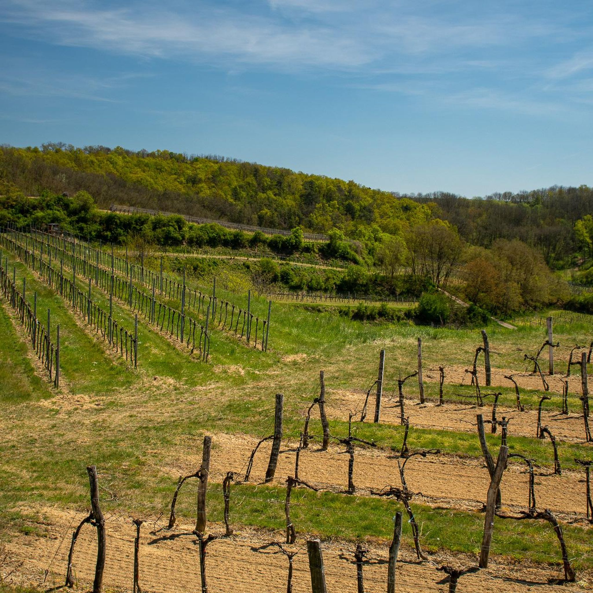
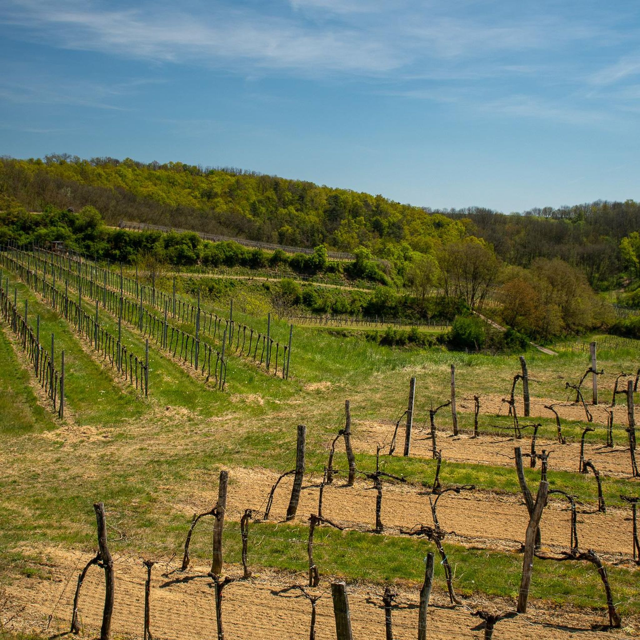
Best mountain peaks around Ziersdorf are characterized by a landscape of agricultural land, vineyards, and forested areas. The municipality, located in the Weinviertel region of Lower Austria, features a relatively low elevation, offering elevated points and scenic views rather than traditional high mountains. These areas provide opportunities for easy mountain hikes near Ziersdorf, allowing visitors to experience the local terrain. The region is ideal for those seeking moderate physical activity amidst nature.
Best mountain peaks around Ziersdorf
- The most popular…
Last updated: July 9, 2026
Pyramids on the Manhartsberg
Highlight • Monument
Translated by Google •
Tip by

Manhartsberg Summit and Memorial Cross
Highlight • Summit
Translated by Google •
Tip by

Sign up now to discover places like this
Get recommendations on the best single tracks, peaks, & plenty of other exciting outdoor places.
Sign up for free
Pankraz Hill (Pankratzberg)
Highlight • Historical Site
Translated by Google •
Tip by

Summit Cross Goldberg
Highlight • Summit
Translated by Google •
Tip by

Goldberg Summit Cross
Highlight • Summit
Also a nice place for a rest!
You can drive a little further towards the cross! The last part is then challenging by bike!
Translated by Google •
Tip by
Sign up for free to discover even more peaks around Ziersdorf.
Sign up for free
Already have an account?
Start today with a free account
Your next adventure awaits.
Login or Signup

Tips from the Community

Burial mound on which a medieval manor house and later a chapel were built. Today, there is a fantastic view of the surrounding area.
0
0

The Manhartsberg region on the border between the Waldviertel and Weinviertel is a centuries-old settlement area with natural beauty, fertile landscapes, good infrastructure and a high quality of life. Around 11,200 people live in the seven communities on the ridge of the Manhartsberg (537 m), which forms the gateway to the Waldviertel, on 240 km2.
1
0

Great view of the Schmidatal, rare plants/animals.
0
0

The Manhartsberg is a low, elongated ridge in Lower Austria and as such forms the natural border between the Waldviertel and the Weinviertel. It culminates in the Manhartsberg of the same name at 537 m above sea level. A. and is the southern and eastern flank of the granite massif of the granite and gneiss plateau, the Austrian part of the Bohemian Massif. Source: Wikipedia
1
0

Unfortunately, the access road is signposted with an absolute driving ban. But I think I can vaguely remember that the additional sign that once existed and had fallen down in the meantime said "except for cyclists" 🤔😉😁
2
0

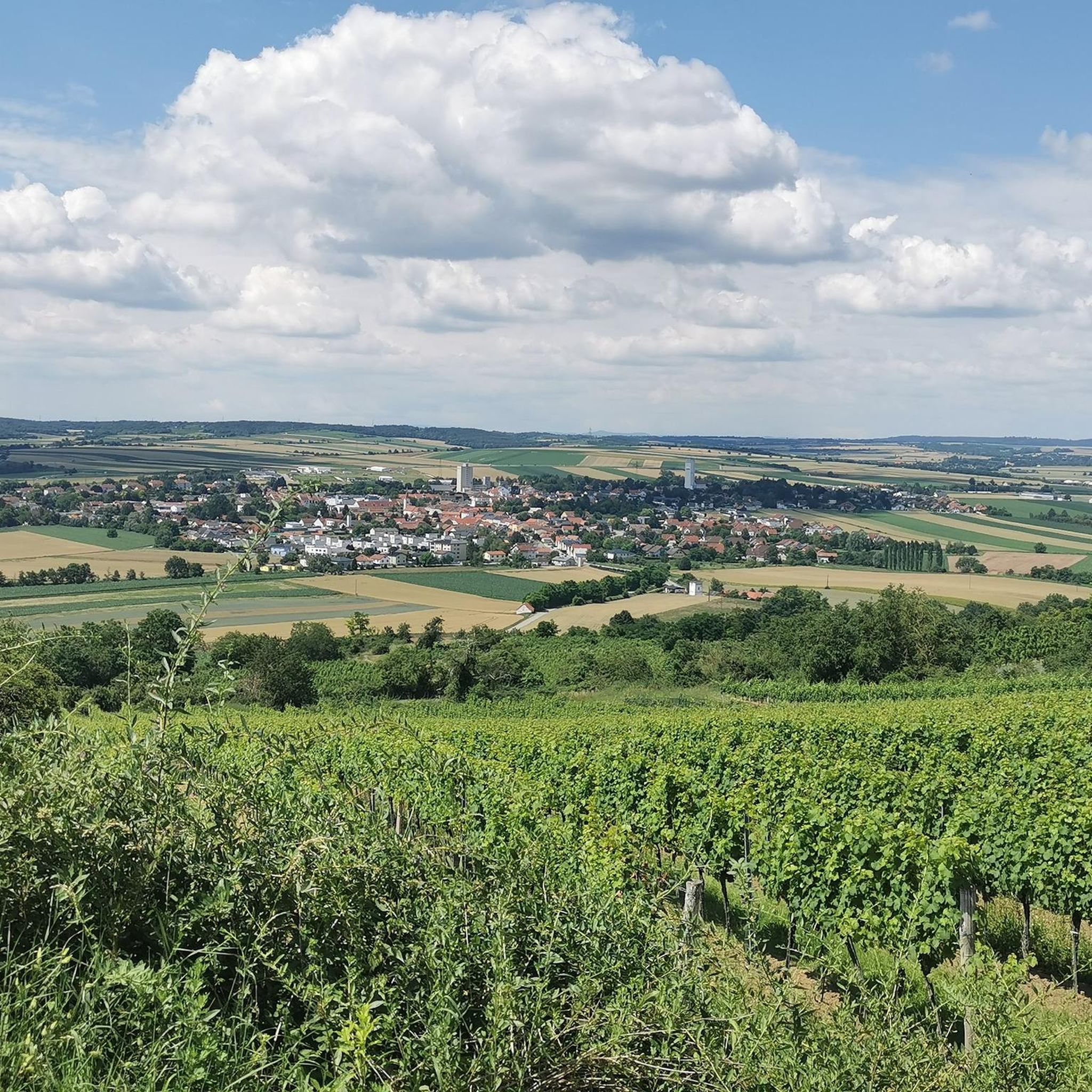
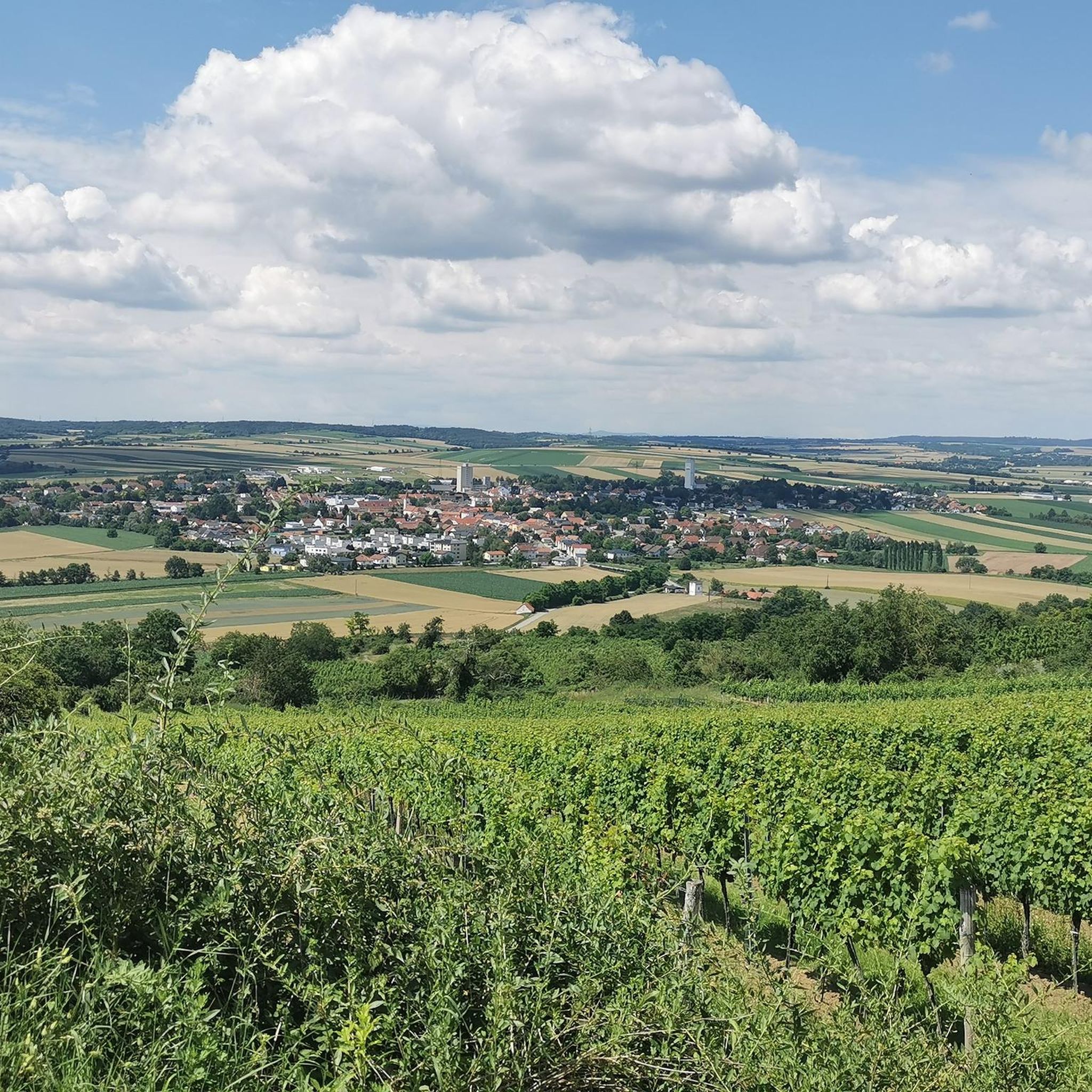
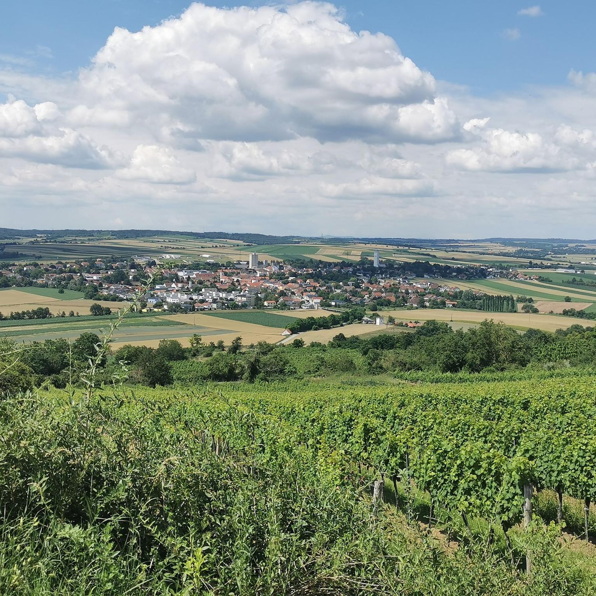
The Friedenskreuz am Goldberg (in some maps also Kogelberg) can only be reached on foot or by mountain bike. The last stretch goes through a small biotope, so it is better to leave the bike where it is. From the cross you have a wonderful view over the southern Weinviertel.
0
0

Not high but still a nice intermediate highlight and a nice photo motif
0
1

The Manhartsberg is a low, flat mountain ridge in Lower Austria. Its height is 537 m above sea level. A. It is the south and east flank of the granite massif of the granite and gneiss plateau, the Austrian part of the Bohemian mass. The ridge extends from the Thaya to the Wagram and is partially covered with tertiary layers (sands). This mountain range continues in the Moravian region to the Znojmo region. As the eastern edge of the Bohemian massif, the Manhartsberg forms the "boundary stone" for the quarter above the Manhartsberg (Waldviertel) and the quarter below the Manhartsberg (Weinviertel). Its west side was formed by the kamp. The western slopes of Manhartsberg are part of the Kamptal-Schönberg Nature Park. Above Maissau there are rich amethyst deposits. Near its highest point there are still some remains of a radio interference from the Second World War with the code name Zangendorf 4. The state road 1238 leads over the Manhartsberg, but it is a dirt road in the area of the Manhartsberg. The Manhartsberg is considered to be the border between the Waldviertel and Weinviertel. The Vicariate of the Archdiocese of Vienna corresponding to the Weinviertel is still called "under the Manhartsberg". Source: Wikipedia
3
0
Frequently Asked Questions
What kind of elevated points and peaks can I expect to find around Ziersdorf?
The Ziersdorf region, located in the Weinviertel, is characterized by a landscape of agricultural land, vineyards, and forested areas. You'll find elevated points and scenic viewpoints rather than traditional high, rugged mountains. These areas offer opportunities for easy hikes and panoramic views of the surrounding countryside.
What are some of the most notable elevated points or 'peaks' near Ziersdorf?
One of the most notable elevated points is the Manhartsberg Summit and Memorial Cross, which reaches 537 meters above sea level and forms a natural border between the Waldviertel and Weinviertel regions. Another significant spot is the Summit Cross Goldberg, offering panoramic views over the Schmidatal from its 332-meter height.
Are there any unique historical or man-made features on the peaks around Ziersdorf?
Yes, you can visit the Pyramids on the Manhartsberg, a man-made monument situated on a low, flat mountain ridge. This site is part of the granite massif of the granite and gneiss plateau, offering a discernible rise in the landscape and a unique point of interest.
What kind of hiking trails are available near the elevated points around Ziersdorf?
The region offers various hiking routes that incorporate these elevated points. For example, the Kranberg, at 346 meters, is often included in local hiking routes like the 'Ziersdorf - Kranberg - Frauendorf an der Schmida' tour. These trails are generally moderate and allow you to experience the local terrain and enjoy scenic views.
Are the trails around Ziersdorf's peaks suitable for families?
Yes, many of the local walking and cycling routes around Ziersdorf, including those with elevated sections, are suitable for families. They emphasize the scenic and cultural aspects of the Weinviertel, such as vineyards and small villages, rather than challenging mountain climbing, making them enjoyable for all ages.
What kind of views can I expect from the peaks in the Ziersdorf area?
From elevated points like the Summit Cross Goldberg, you can enjoy magnificent panoramic views over the Schmidatal and the surrounding Weinviertel landscape, characterized by rolling hills, agricultural fields, and vineyards. The Manhartsberg Summit also provides expansive vistas of the natural border between the Waldviertel and Weinviertel.
What other outdoor activities can I do near the peaks around Ziersdorf?
Beyond hiking, the Ziersdorf area is excellent for cycling. You can explore various routes for mountain biking, road cycling, and touring. For example, there are numerous MTB Trails around Ziersdorf, Road Cycling Routes, and general Cycling routes that take you through the scenic landscape.
Can I find dog-friendly trails around the elevated points near Ziersdorf?
While specific dog rules vary by trail, the general nature of the rolling hills and agricultural paths in the Ziersdorf region often makes them suitable for walks with dogs. It's always recommended to keep dogs on a leash and follow local regulations, especially near agricultural areas or protected biotopes.
What is the best time of year to visit the peaks around Ziersdorf?
The region is enjoyable throughout much of the year. Spring and autumn offer pleasant temperatures for hiking and cycling, with blooming landscapes or vibrant fall colors. Even winter can be beautiful, with some visitors noting that the Summit Cross Goldberg is 'worth a detour in winter' for its magnificent views.
Are there any hidden gems or less-known elevated spots worth exploring?
While not a 'hidden gem' in the traditional sense, the Kranberg, at 346 meters, offers a discernible rise in the landscape and is a popular destination for hikers looking for moderate physical activity amidst nature, providing a peaceful escape and a chance to appreciate the gentle rolling hills.
What do visitors appreciate most about the elevated points and trails in Ziersdorf?
Visitors frequently appreciate the panoramic views, especially from spots like the Summit Cross Goldberg, which offers a wonderful view over the southern Weinviertel. The peaceful escape into nature, the opportunity for moderate physical activity, and the scenic beauty of the agricultural land and vineyards are also highly valued.
Most popular routes around Ziersdorf
Most popular attractions around Ziersdorf

Get inspired with the komoot mobile app


Explore more
See even more amazing summits around Ziersdorf with these guides:
