The 10 Most Amazing Peaks around Wolfsegg am Hausruck
Best mountain peaks around Wolfsegg am Hausruck are characterized by rolling hills and extensive forests, offering numerous elevated points for scenic views. The region, located in the Hausruckviertel of Upper Austria, provides opportunities for forest hikes and moderate ascents. While not featuring dramatic alpine peaks, the area is well-suited for outdoor enthusiasts seeking panoramic viewpoints and natural beauty.
Best mountain peaks around Wolfsegg am Hausruck
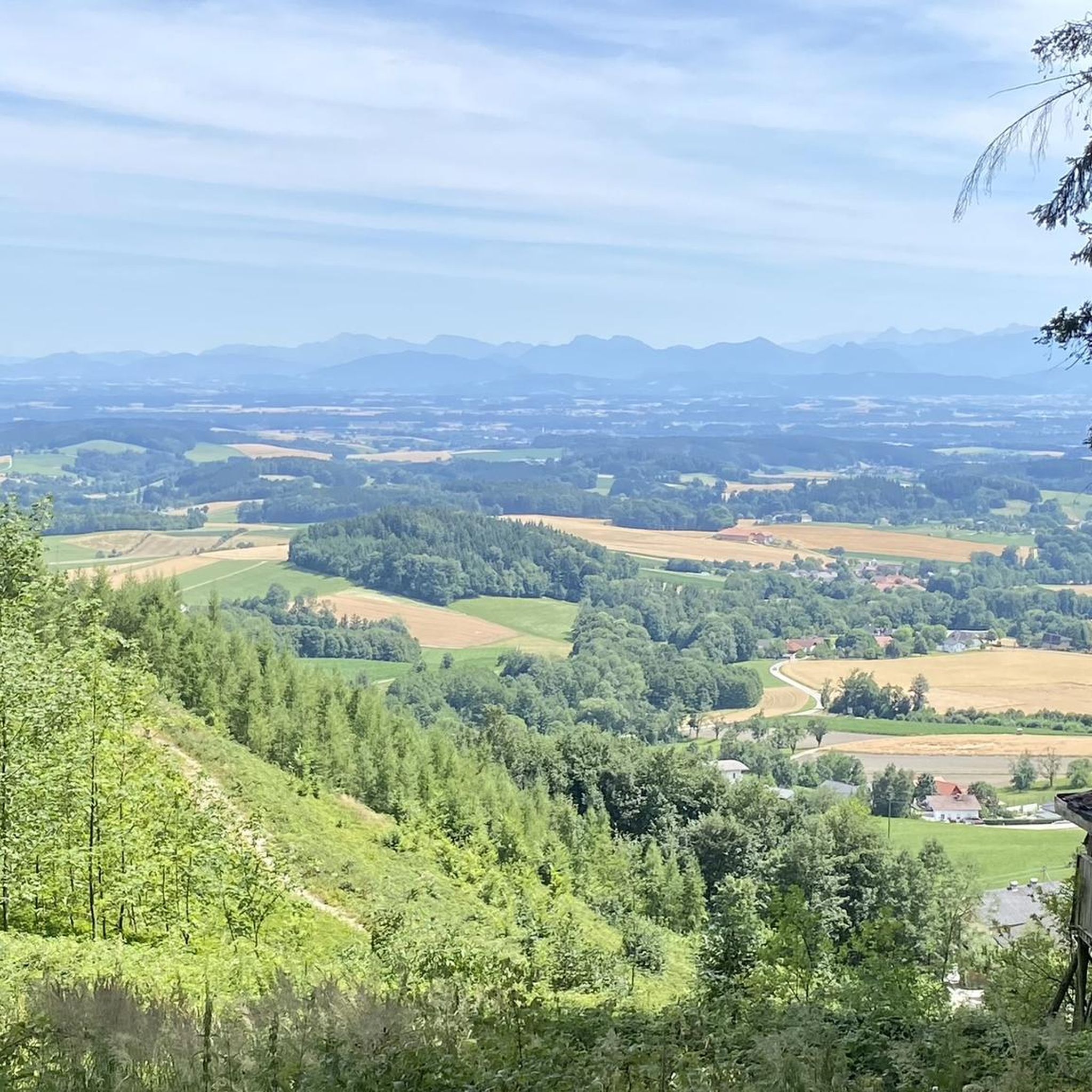
- The most popular mountain peaks is Lederer Kopf Summit, a summit that offers a nice viewpoint with a summit book. It provides beautiful views of the surrounding area.
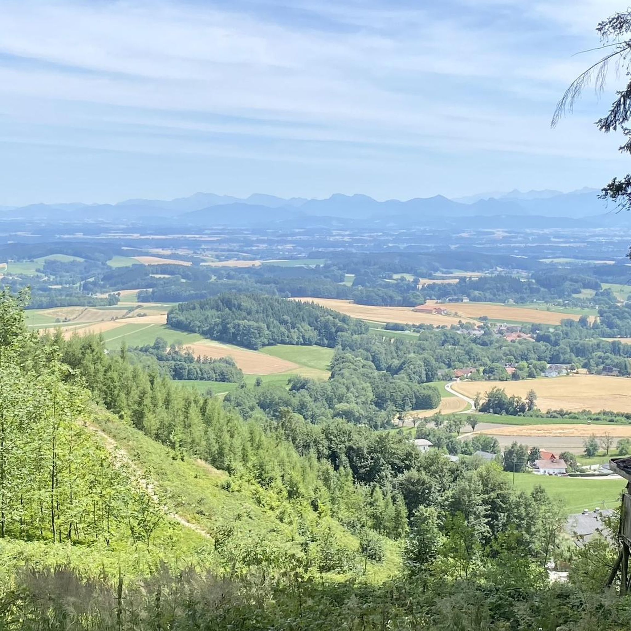
- Another must-see spot is Krailberg Summit Cross (504 m), a summit that is the highest mountain massif in the Wels-Land district. Standing at 504 meters, it is a popular hiking destination.
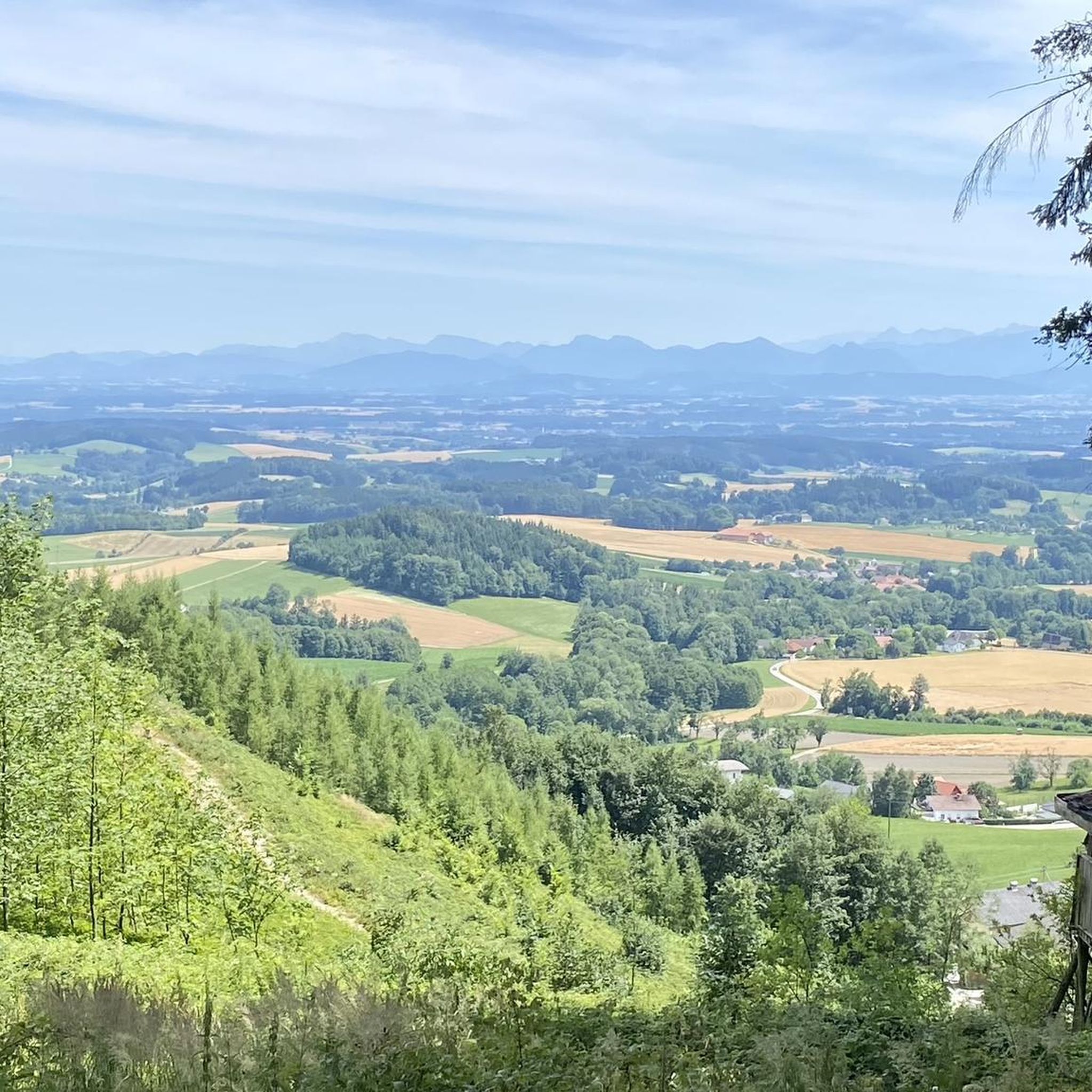
- Visitors also love Hausruck Ridge High Point, a summit located at one of the highest points in the Hausruck region. This area is part of the Hausruckwald, one of Europe's largest contiguous forest areas.
- Wolfsegg am Hausruck is known for its elevated points, forest summits, and viewpoints. The region offers a variety of mountain peaks to see and explore, ranging from moderate ascents to high points within extensive forest landscapes.
- The mountain peaks around Wolfsegg am Hausruck are appreciated by the komoot community, with more than 280 upvotes and over 110 photos shared by visitors.
Last updated: September 29, 2026
Lederer Kopf Summit
Highlight • Summit
Translated by Google •
Tip by

Krailberg Summit Cross (504 m)
Highlight • Summit
Translated by Google •
Tip by

Sign up now to discover places like this
Get recommendations on the best single tracks, peaks, & plenty of other exciting outdoor places.
Geispiel Summit (559 m)
Highlight • Summit
Translated by Google •
Tip by
Hausruck Ridge High Point
Highlight • Summit
Translated by Google •
Tip by

Cross on the Marien hiking trail at Schlossberg (Granazweg)
Highlight • Monument
The cross symbolically marks the highest point of the Schlossberg and is surrounded by forest, giving the place a particularly peaceful atmosphere. It's not a spectacular viewpoint like the Luisenwarte, but a quiet, dignified spot surrounded by greenery.
Translated by Google •
Tip by

Sign up for free to discover even more peaks around Wolfsegg am Hausruck.
Already have an account?
Start today with a free account
Your next adventure awaits.
Tips from the Community

It's a bit off the main route, but easily accessible and offers a peaceful, natural atmosphere – perfect for a short rest or a moment of reflection. 🌲✝️ The cross symbolically marks the highest point of the Schlossberg and is surrounded by forest, giving the place a particularly peaceful atmosphere. It's not a spectacular viewpoint like the Luisenwarte, but a quiet, dignified spot surrounded by greenery.
7
0

Halfway point of the Krailbergrunde, good rest stop
1
0

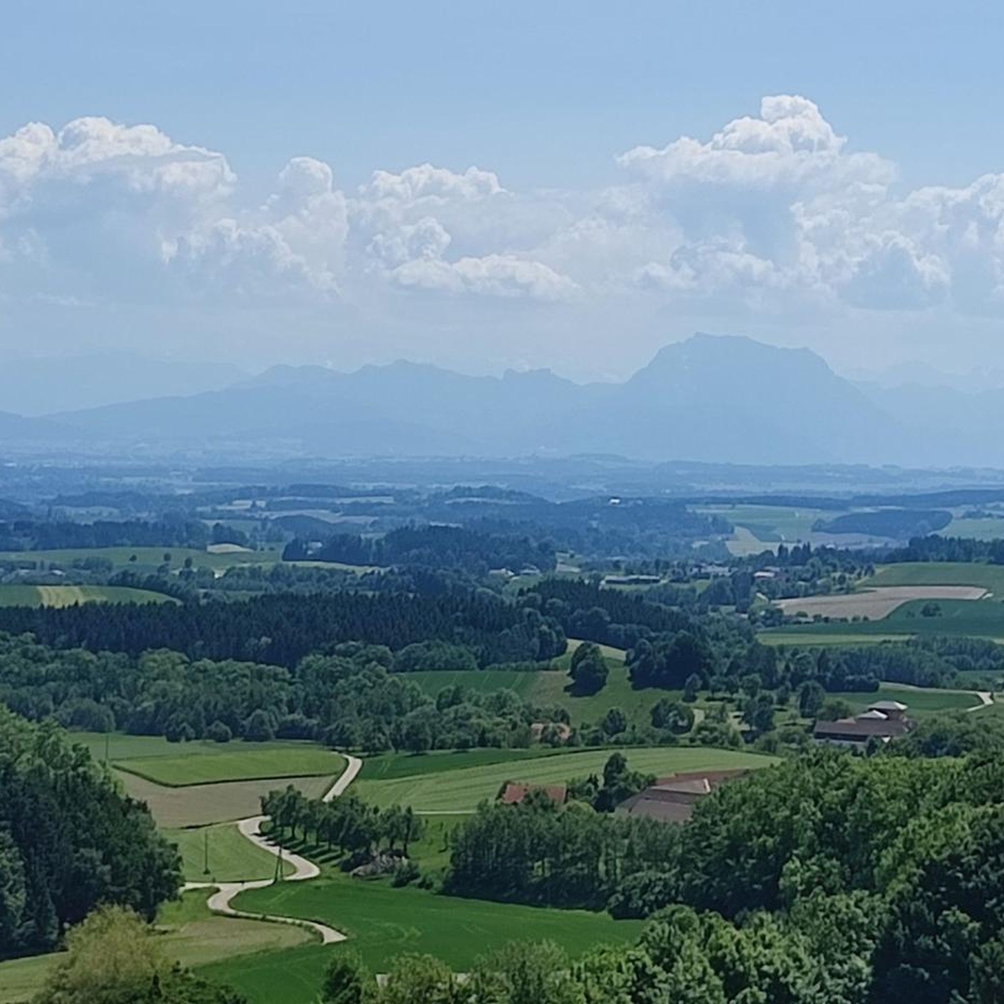
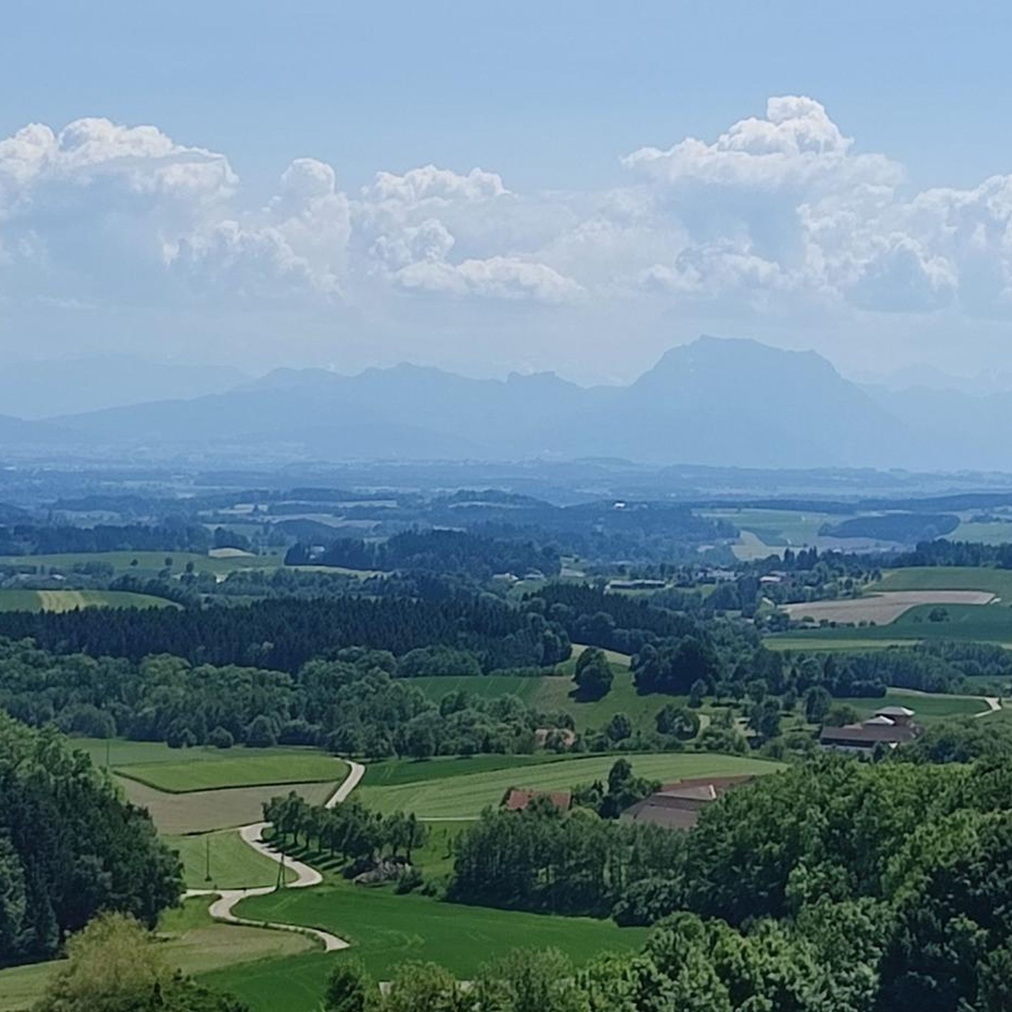
If you are looking for the ultimate view you will unfortunately not find it but it is still beautiful here.
6
0

The highest point in the Wels-Land district is on the Steindlberg at 513m. That's 9m higher than the famous Krailberg.
1
0

Coming from the south (vineyard), enter the forest, then turn left (do not go around the forest to the southwest, it will be difficult there), from the north (staffel) there are 2 steeper paths leading up, we used the left one around the outside, at the top it is then comfortably flat in the forest to the summit cross
1
0

Great tips and information to make you want to visit this place. Thank you for that!
4
1

Krailberg is the highest point in the Wels-Land district with a height of 504 meters. It lies on the border of the communities of Bachmanning, Neukirchen and Pennewang. There is a summit cross on the Krailberg that was built in 2011. Krailberg is a popular destination for hikers who can enjoy beautiful hiking trails through picturesque forests. There are several routes to reach the summit, starting from various villages in the area. Some of the most recommended are: Hike from Bachmanning: This is a 9.5 km long hiking trail that starts from the Bachmanning town hall and passes the St. Leonhard Chapel and the Bachmanning Castle before reaching the summit of Krailberg. Hike from Neukirchen: This is a 7.5 km long circular route that starts from the Neukirchen multi-purpose hall and follows a forest road to the summit of the Krailberg. Hike from Pennewang: This is a 6.5 km long circular route that starts from the Pennewang church and crosses the fields and forests to the summit of the Krailberg.
2
3
Krailberg is a peak in Wels-Land, Austria, with an elevation of 504 meters. It is the highest point in the Wels-Land district, where the communities of Bachmanning, Neukirchen and Pennewang meet. There are several hiking trails leading to the summit, with varying degrees of difficulty. A popular starting point for a hike to Krailberg is Pennewang, where you can park at the community square. The hike lasts about 2 hours and 15 minutes and covers a distance of about 10 km with a vertical drop of 190 meters. The trail consists of asphalt roads, forest trails and gravel roads.
9
1
Frequently Asked Questions
What are some of the most popular elevated points and viewpoints around Wolfsegg am Hausruck?
Visitors frequently enjoy the Lederer Kopf Summit for its nice viewpoint and summit book. Another popular spot is the Krailberg Summit Cross (504 m), which is the highest mountain massif in the Wels-Land district. For expansive panoramic views, the Luisenhöhe near Haag am Hausruck offers an observation tower with a spectacular 360° vista on clear days.
Are there any particularly high points or significant peaks in the broader Hausruck region?
Yes, while Wolfsegg am Hausruck features rolling hills, the broader Hausruck region is home to Göblberg, which stands at 801 meters and is identified as the highest mountain in the area. Within the immediate vicinity, the Hausruck Ridge High Point is also a notable elevated area within the extensive Hausruckwald.
What kind of hiking experiences can I expect around Wolfsegg am Hausruck?
The region is ideal for forest hikes, moderate ascents, and enjoying scenic viewpoints rather than dramatic alpine climbs. You'll find numerous trails through extensive woods, offering a chance to experience the natural beauty of the Hausruckwald. The challenging 'Rundweg Endurance Trail' from Wolfsegg's market square, for example, takes you through surrounding woods and over hills, reaching a highest point of 751 meters with great views.
Are there easy or family-friendly hiking options available?
Absolutely. The Dietinger Bench Loop, starting from Wolfsegg am Hausruck, is a moderate, two-sided viewpoint loop with easily accessible paths suitable for all skill levels, offering pleasant views. For more options, you can explore easy hikes around Wolfsegg am Hausruck, which include routes like the Wolfsegg Castle loop.
What are some of the natural features or landmarks to look out for on these peaks?
Beyond the elevated points themselves, you'll encounter extensive forests, particularly within the Hausruckwald, one of Europe's largest contiguous forest areas. Many summits, like the Lederer Kopf Summit, offer summit books and benches for rest. The Krailberg Summit Cross (504 m) is a notable landmark, and the Cross on the Marien hiking trail at Schlossberg provides a peaceful, natural atmosphere.
What do visitors enjoy most about the mountain peaks and trails in this area?
Visitors appreciate the beautiful views from various elevated points, the peaceful atmosphere of the forest trails, and the opportunity for moderate ascents. Many highlights, such as the Lederer Kopf Summit, are noted for their scenic outlooks, even if not offering dramatic alpine vistas. The region's charm lies in its accessible natural beauty and well-maintained paths.
Can I find challenging routes or longer hikes near Wolfsegg am Hausruck?
Yes, for those seeking a more demanding experience, the 'Rundweg Endurance Trail' starting from Wolfsegg's market square is a challenging forest hike with significant ascents. Additionally, the area offers various running and gravel biking routes that can be quite strenuous, such as those found in the Running Trails around Wolfsegg am Hausruck guide.
What is the highest point in the Vöcklabruck district that I can hike to?
The highest point in the Vöcklabruck district that you can hike to is the Geispiel Summit (559 m). It offers magnificent views and can be reached via a hike that typically takes around four hours round trip from the city park.
Are there any historical or cultural sites near the elevated points?
Yes, Wolfsegg Castle is a notable historical site in the area, and the 'Rundweg Endurance Trail' begins with an ascent to it. The Cross on the Marien hiking trail at Schlossberg (Granazweg) also offers a blend of natural beauty and cultural significance, marking the highest point of the Schlossberg.
What other outdoor activities are available in the Wolfsegg am Hausruck area besides hiking?
Beyond hiking, the region is well-suited for other outdoor pursuits. You can find numerous options for running and gravel biking, with routes that explore the diverse landscapes of the Hausruckviertel.
When is the best time to visit Wolfsegg am Hausruck for hiking?
The region is generally pleasant for hiking during spring, summer, and autumn when the weather is mild and the forests are lush. While specific winter conditions are not detailed, the rolling hills and forest trails suggest that hiking is possible in winter, though conditions may vary and require appropriate gear.
Is there parking available near the trailheads for these mountain peaks?
While specific parking details for every trailhead are not provided, the area is generally accessible for outdoor activities. For instance, the 'Rundweg Endurance Trail' starts from Wolfsegg's market square, suggesting central access. It is advisable to check local signage or specific tour descriptions on komoot for parking information at individual starting points.
Most popular routes around Wolfsegg am Hausruck
Most popular attractions around Wolfsegg am Hausruck

Get inspired with the komoot mobile app


Explore more
See even more amazing summits around Wolfsegg am Hausruck with these guides:
