The 4 Most Amazing Peaks around Neukirchen bei Lambach
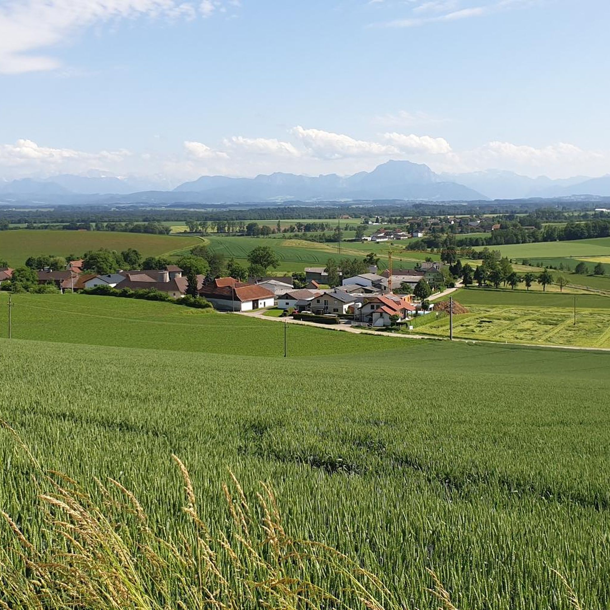
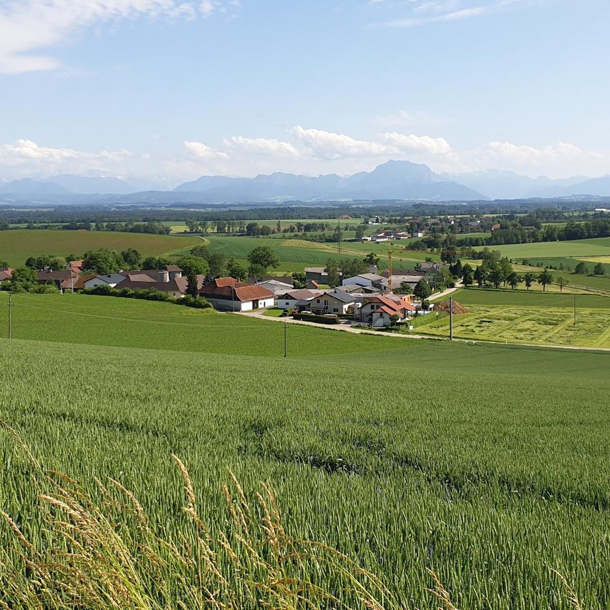
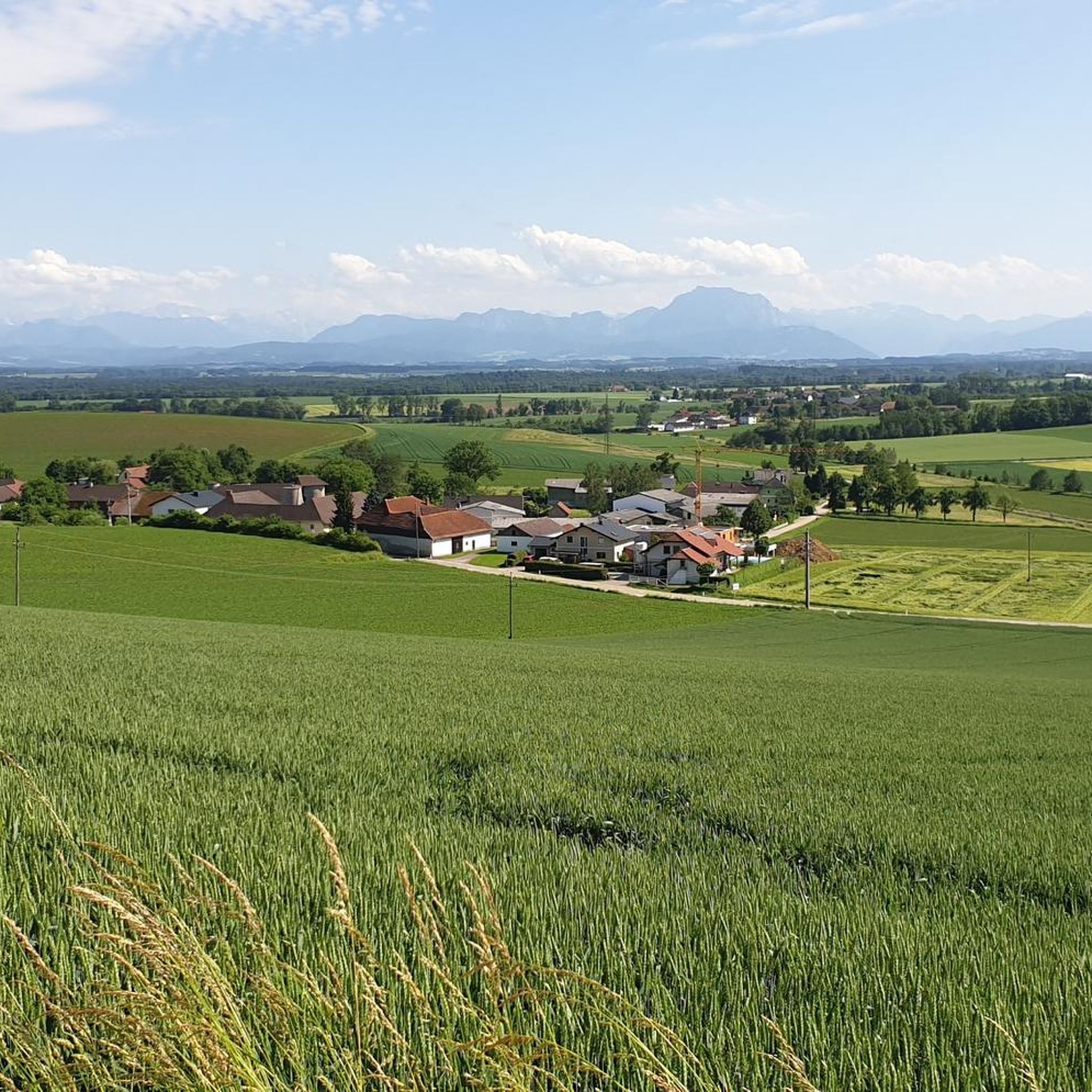
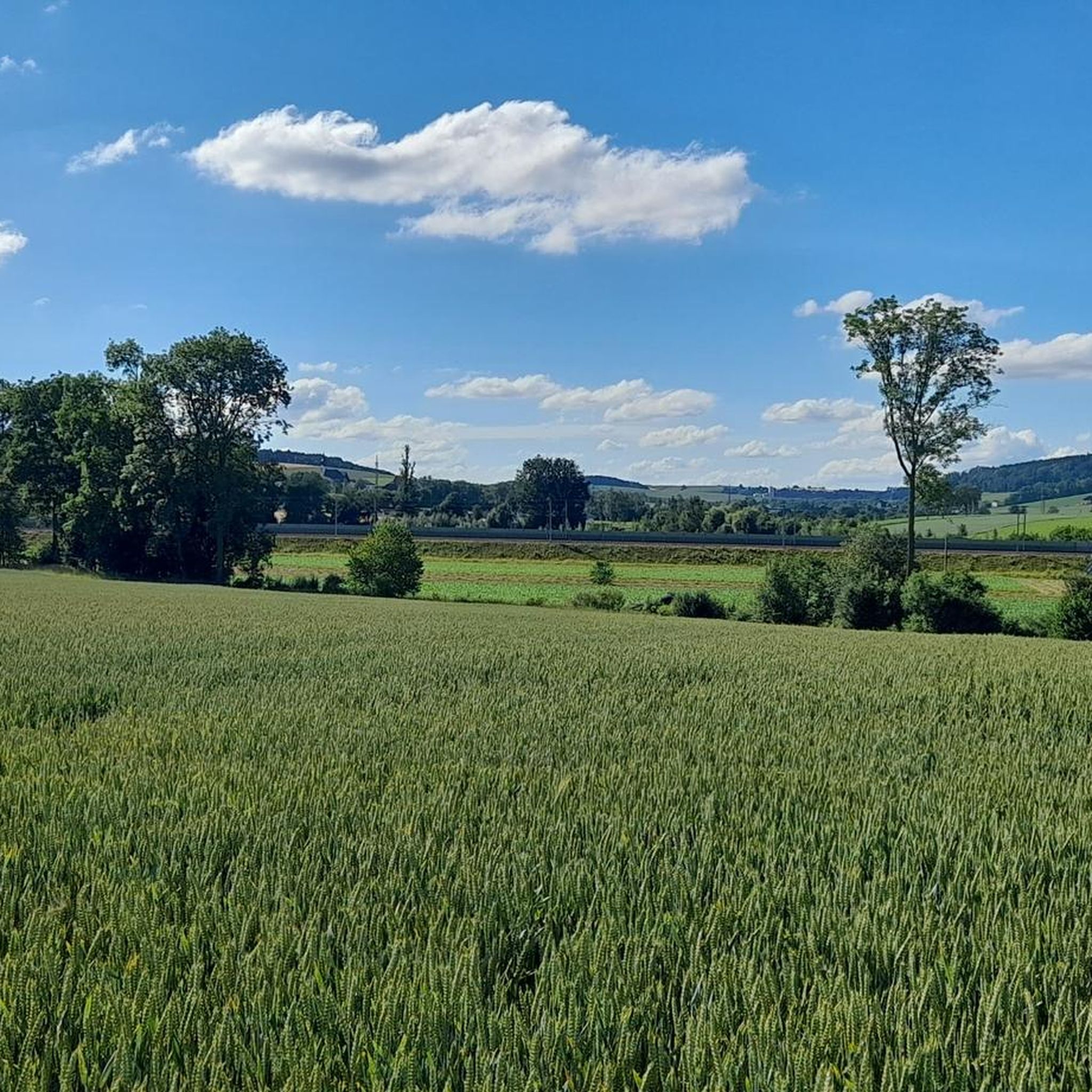
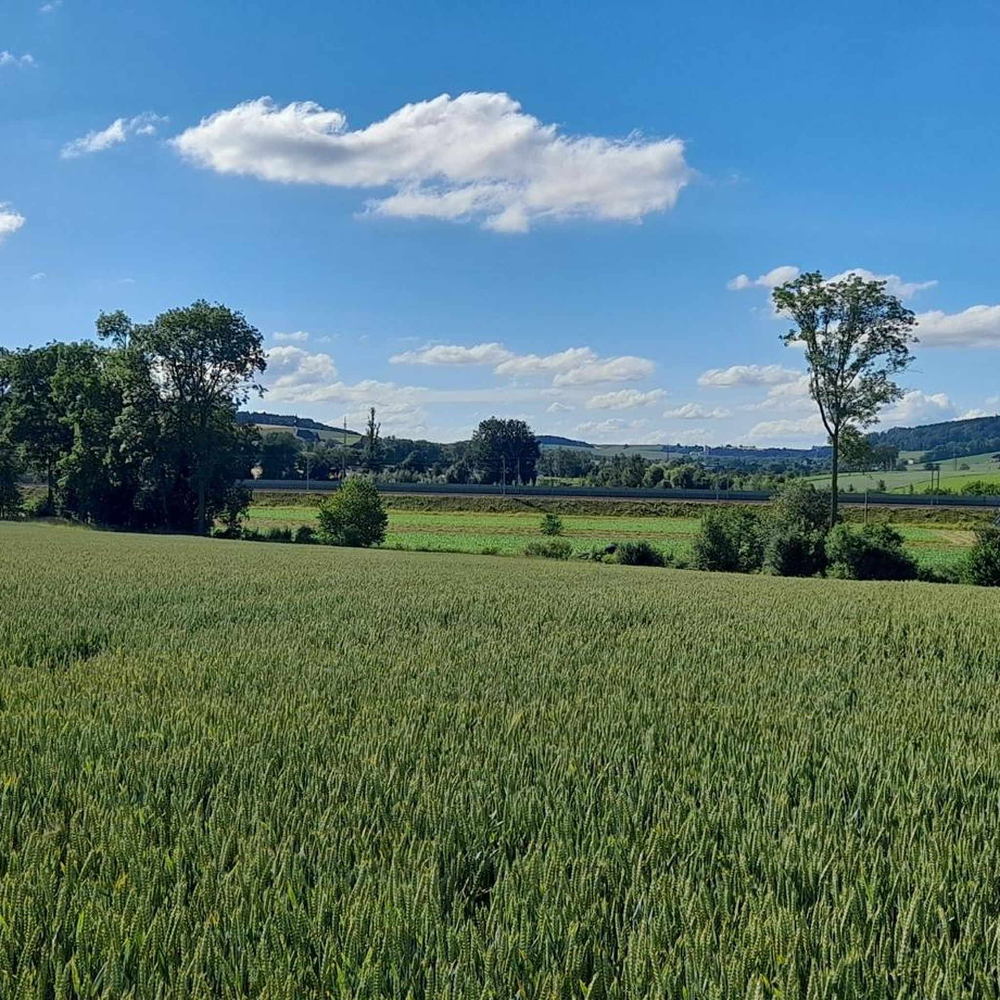
Best mountain peaks around Neukirchen bei Lambach are situated in a region characterized by rolling hills, green meadows, and forests. The most notable elevation in the immediate vicinity is the Krailberg, which is the highest point in the Wels-Land district. This area offers accessible hiking opportunities for various fitness levels, providing views of the Upper Austrian foothills. The landscape includes varied terrain, from forests to meadows and small villages.
Best mountain peaks around Neukirchen bei Lambach
- The most popular mountain…
Last updated: September 29, 2026
Krailberg Summit Cross (504 m)
Highlight • Summit
Translated by Google •
Tip by

Irrachhöhe
Highlight • Viewpoint
Translated by Google •
Tip by

Sign up now to discover places like this
Get recommendations on the best single tracks, peaks, & plenty of other exciting outdoor places.
Krailberg Summit and Survey Point
Highlight • Summit
Translated by Google •
Tip by

Krailberg Summit (504 m) – Highest Point of Wels-Land District
Highlight • Summit
Translated by Google •
Tip by
View from Irracher Höhe
Highlight • Viewpoint
Translated by Google •
Tip by

Sign up for free to discover even more peaks around Neukirchen bei Lambach.
Already have an account?
Start today with a free account
Your next adventure awaits.
Tips from the Community


Halfway point of the Krailbergrunde, good rest stop
1
0


There is no path leading to this summit point, but you will find a summit pole with a name and a trash can there.
1
0
The Irracher Höhe was searched for and found, quite hidden. Thanks to Peakfinder our search was successful
1
0

The highest point in the Wels-Land district is on the Steindlberg at 513m. That's 9m higher than the famous Krailberg.
1
0

The actual summit/surveying point is about 100m north of the summit cross and is recognizable by a marker stone
0
0
Coming from the south (vineyard), enter the forest, then turn left (do not go around the forest to the southwest, it will be difficult there), from the north (staffel) there are 2 steeper paths leading up, we used the left one around the outside, at the top it is then comfortably flat in the forest to the summit cross
0
0
Frequently Asked Questions
What are the main characteristics of the mountain peaks around Neukirchen bei Lambach?
The peaks around Neukirchen bei Lambach are characterized by rolling hills, green meadows, and forests, rather than towering alpine mountains. The region offers accessible hiking opportunities for various fitness levels, providing scenic views of the Upper Austrian foothills. The most notable elevation is the Krailberg, which is the highest point in the Wels-Land district.
What is the highest point in the Wels-Land district?
The highest point in the Wels-Land district is the Krailberg Summit Cross (504 m), which stands at 504 meters above sea level. This summit is a popular hiking destination, marked by a distinctive metal summit cross, and offers beautiful scenery and views.
Are there family-friendly hiking options around Neukirchen bei Lambach's peaks?
Yes, the region is well-suited for family outings. The Krailberg, for instance, offers accessible hiking opportunities for various fitness levels, with routes ranging from easy to moderate. The "Wanderarena Krailberg" features a network of signposted circular hiking trails that are suitable for families. Additionally, the Irrachhöhe is also considered family-friendly.
What kind of views can I expect from the peaks in this region?
From the peaks around Neukirchen bei Lambach, you can expect idyllic views of the Upper Austrian foothills, including forests, meadows, and small villages. Specific viewpoints like the View from Irracher Höhe offer vistas towards the city of Wels and the Trauntal.
Are there marked hiking trails on the Krailberg?
Yes, the area around the Krailberg summit was developed into the "Wanderarena Krailberg" in 2015, offering a network of four signposted circular hiking trails. These trails lead through varied landscapes, including forests, meadows, and small villages, providing well-marked paths for hikers.
What other outdoor activities can I do near the mountain peaks in Neukirchen bei Lambach?
Beyond hiking, the area around Neukirchen bei Lambach offers various outdoor activities. You can explore numerous cycling routes, including options for touring bicycles and mountain biking. For more details on routes, you can check out the guides for Cycling around Neukirchen bei Lambach and MTB Trails around Neukirchen bei Lambach.
What is the best time to visit the peaks around Neukirchen bei Lambach?
The region is generally pleasant for hiking during spring, summer, and autumn when the weather is mild and the landscapes are green. The well-marked trails of the "Wanderarena Krailberg" are accessible for much of the year, offering beautiful scenery. While specific winter hiking details are not provided, the rolling hills might offer different experiences in colder months.
Where can I find the actual summit point of Krailberg?
The actual summit or surveying point of Krailberg is located approximately 100 meters north of the main Krailberg Summit Cross (504 m). It is recognizable by a marker stone.
Are there any other notable viewpoints besides Krailberg?
Yes, another notable viewpoint is the View from Irracher Höhe. This spot offers a nice view towards the city of Wels and the Trauntal, and you'll find a summit pole there.
What do visitors enjoy most about the mountain peaks near Neukirchen bei Lambach?
Visitors particularly enjoy the accessible nature of the trails, the beautiful scenery, and the panoramic views of the Upper Austrian foothills. The distinctive metal summit cross on Krailberg is a popular landmark, and the well-maintained circular hiking trails of the "Wanderarena Krailberg" are highly appreciated for their varied landscapes.
What are some easy hiking trails near Neukirchen bei Lambach's peaks?
For easy hiking, you can consider routes like the Bachmanning Church – Krailberg Summit Cross (504 m) loop from Bachmanning, which is just over 6 km. Many of the trails within the "Wanderarena Krailberg" are also designed to be accessible for various fitness levels, including easier options.
Is there public transport or parking available for accessing the peaks?
While specific details on public transport routes directly to the trailheads are not provided, the Krailberg is a popular local destination, suggesting accessibility. For parking, it's generally advisable to look for designated parking areas near the starting points of the hiking trails in the municipalities bordering the Krailberg, such as Bachmanning, Neukirchen bei Lambach, or Pennewang.
Most popular routes around Neukirchen bei Lambach
Most popular attractions around Neukirchen bei Lambach

Get inspired with the komoot mobile app


Explore more
See even more amazing summits around Neukirchen bei Lambach with these guides:
