The best walks and hikes around Kottweiler-Schwanden
4.5
(804)
4,370
hikers
19
hikes
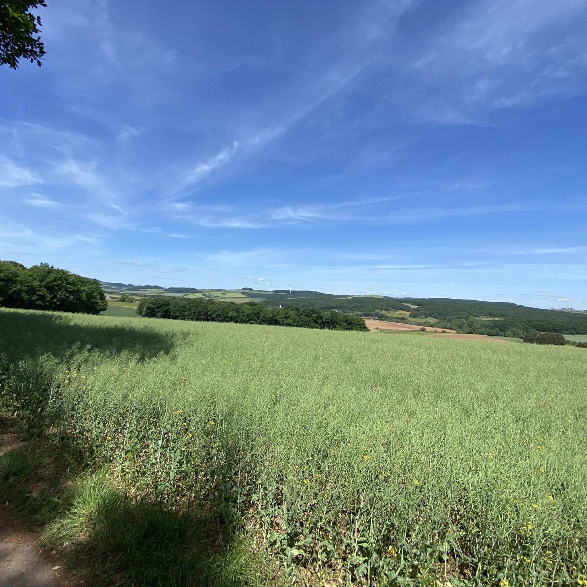
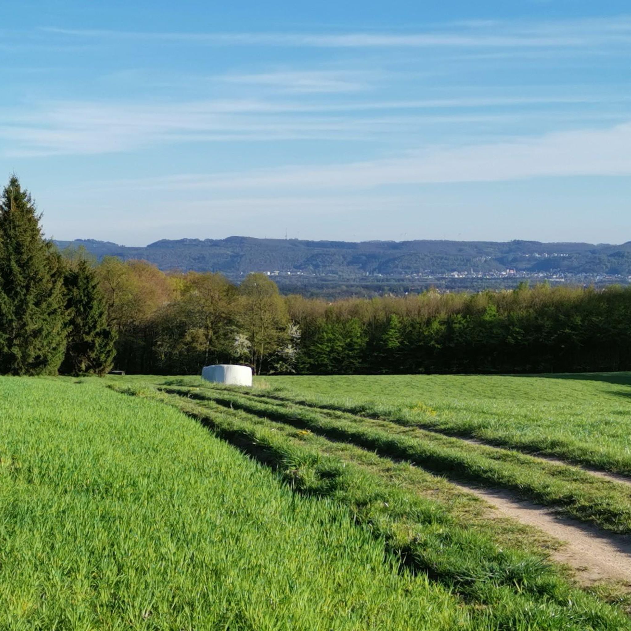
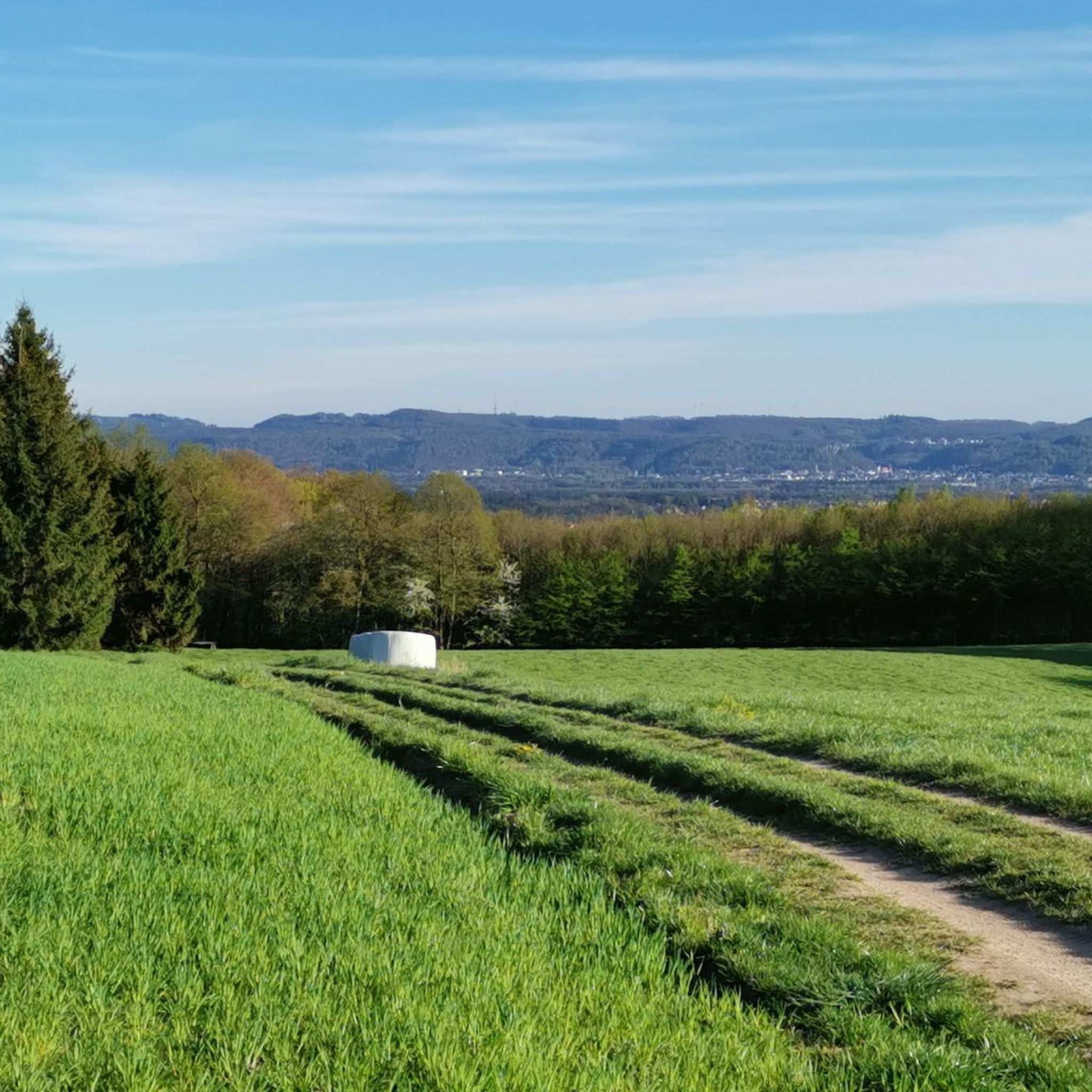
Hiking around Kottweiler-Schwanden offers diverse landscapes at the foothills of the Palatinate Forest, transitioning between the West Palatinate swamp valley and the North Palatine mountainous region. The area is characterized by picturesque hills, expansive fields, lush pastures, and dense forests. This varied terrain provides a scenic backdrop for numerous hiking trails, ranging from gentle paths to more challenging routes with significant elevation changes.
Best hiking trails around Kottweiler-Schwanden
- The most popular hiking route is Rothenberg loop from Kottweiler-Schwanden, a…
Last updated: May 14, 2026
3.0
(1)
28
hikers
5.79km
01:33
60m
60m
Easy hike. Great for any fitness level. Easily-accessible paths. Suitable for all skill levels.
6
hikers
7.20km
02:02
150m
150m
Moderate hike. Good fitness required. Easily-accessible paths. Suitable for all skill levels.

Sign up for free
5.0
(2)
10
hikers
3.79km
01:00
40m
30m
Easy hike. Great for any fitness level. Easily-accessible paths. Suitable for all skill levels.
8
hikers
3.92km
01:03
50m
50m
Easy hike. Great for any fitness level. Easily-accessible paths. Suitable for all skill levels.
6
hikers
Easy hike. Great for any fitness level. Easily-accessible paths. Suitable for all skill levels.
Get access to more routes and recommendations from other explorers.
Sign up for free
Already have an account?
Our route recommendations are based on thousands of hikes, rides, and runs completed by other people on komoot.
Start today with a free account
Your next adventure awaits.
Login or Signup
Tips from the Community

Beautiful church with a beautiful tower
0
0

Very nice viewpoint and rest area
1
0

Great for resting and chilling out under the deciduous trees in the summer heat.
1
0

a highlight that sports enthusiasts are happy to take part in as a spectator
0
0
This traditional 49th New Year's Eve street run was once again a complete success for all the committed participants and athletes - everything was perfectly organized again and worked out perfectly - even the weather was better than announced - no ☔️ and that was very good for everyone 🙏👍🤩
0
0


After the ascent you have some opportunities for nice descents
0
0

A nice place to rest with many benches and a shelter
2
1
Frequently Asked Questions
What kind of terrain can I expect on hikes around Kottweiler-Schwanden?
The region around Kottweiler-Schwanden offers a diverse landscape, transitioning between the West Palatinate swamp valley and the North Palatine mountainous region. You'll encounter picturesque hills, expansive fields, lush pastures, and dense forests. Some trails feature steep slopes, while others are gentle paths through charming village squares and along scenic valleys.
Are there hiking options for beginners or those looking for an easy walk?
Yes, Kottweiler-Schwanden provides many easy hiking options suitable for all fitness levels. For example, the Rothenberg loop from Kottweiler-Schwanden is an easy 5.8 km route, and the Hiking loop from Kottweiler-Schwanden is a shorter 3.8 km trail, both offering pleasant walks through the local countryside.
How many hiking trails are available in the Kottweiler-Schwanden area?
There are over 20 hiking routes available around Kottweiler-Schwanden, catering to various preferences and fitness levels. These include 13 easy routes and 7 moderate routes, ensuring a suitable option for almost everyone.
What do other hikers enjoy most about the trails in Kottweiler-Schwanden?
The hiking routes in Kottweiler-Schwanden are highly rated by the komoot community, with an average score of 4.6 stars from nearly 800 reviews. Hikers often praise the varied terrain, the well-marked paths, and the scenic views that combine rolling hills, dense forests, and open pastures.
Are there any circular hiking routes in Kottweiler-Schwanden?
Yes, many trails in the area are designed as loops, allowing you to start and end at the same point. Examples include the Rothenberg loop from Kottweiler-Schwanden, the Kottenweg – Berm height loop from Kottweiler-Schwanden, and the Kottweiler-Schwanden Church loop.
Can I find trails suitable for families with children?
Absolutely. The region offers several family-friendly options. The "Swan Valley" is particularly recommended for families, featuring spectacular views and passing by the romantic Bärenbrunnen and the historic Schlossberg with its castle tower. Many of the easy loop trails are also great for family outings.
What natural landmarks or viewpoints can I discover while hiking?
Hikers can enjoy numerous natural landmarks and viewpoints. Notable spots include the Michelsruhe Memorial and Viewpoint, the Fünfeckstein Border Marker, and various points along the "Pfälzer Musikantenweg" offering expansive views over the Palatine Uplands. You can also find the Reuschbacher Heights Viewpoint and the View from Bermeshöhe. From some trails, you can even catch views of the Potzberg with its observation tower.
Are there any historical sites to explore along the trails?
Yes, the area is rich in history. You can encounter the Fünfeckstein Border Marker, explore the historic Schlossberg with its castle tower along the "Swan Valley" route, or visit the Roman spring sanctuary Heidenfelsen, dating back to the 3rd century. Nearby, you'll also find the impressive Lichtenberg Castle and Nanstein Castle.
What is the best time of year to go hiking in Kottweiler-Schwanden?
The best seasons for hiking in Kottweiler-Schwanden are spring and autumn. During these times, the mild temperatures are ideal for outdoor activities, and the natural scenery is at its most vibrant, with blooming flowers in spring and colorful foliage in autumn.
Is there parking available near the trailheads?
Yes, Kottweiler-Schwanden serves as an excellent starting point for various hikes, and parking is generally available in the municipality or at designated trailheads. Specific parking information can often be found on individual route descriptions.
Are there any places to eat or drink along the hiking routes?
While specific cafes directly on every trail might be limited, the region does offer options. The Silver Lake, for instance, features a restaurant and beer garden, making it a pleasant stop. Additionally, charming village squares like the one in Kollweiler often have local eateries. You can also find the Seewoog Beer Garden nearby.
Are there any longer or more challenging hikes for experienced hikers?
While the guide highlights easy and moderate routes, the broader region offers more demanding options. The "Kottweiler-Schwanden - Kottenweg" trail, for example, is an average difficulty route spanning 16.3 km with 355 meters of ascent. For experienced hikers, the "Devil's Path" is known as a challenging, steep, and rocky trail leading to breathtaking viewpoints.
Most popular routes around Kottweiler-Schwanden
Most popular attractions around Kottweiler-Schwanden

Get inspired with the komoot mobile app


Explore more
Browse the best Hikes in other regions.
