The 6 Most Amazing Peaks around Meisenheim
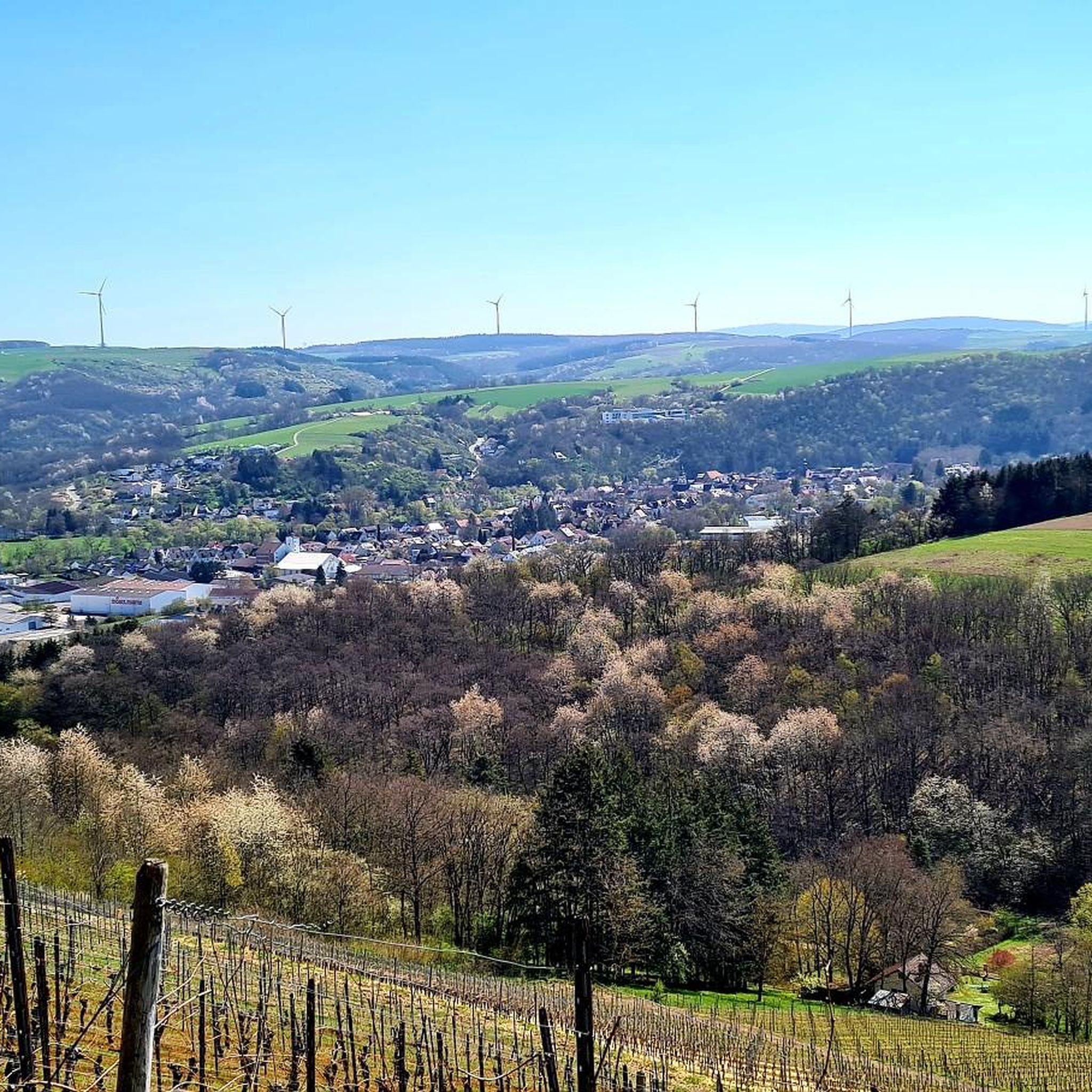
Best mountain peaks around Meisenheim are characterized by the region's hilly topography and prominent elevated points. The area, part of the Naheland region, features wooded hills and river valleys, offering diverse terrain for outdoor activities. These elevated points, often referred to as "Gipfel" or summits, provide panoramic views and are popular for hiking. The landscape creates varied terrain suitable for exploration and scenic beauty.
Best mountain peaks around Meisenheim
- The most popular mountain peaks is View of the Nahe Valley…
Last updated: June 26, 2026
Lemberg Viewpoint
Highlight • Viewpoint
Translated by Google •
Tip by

Heimberg Summit Cross and Flowtrail
Highlight (Segment) • Summit
Translated by Google •
Tip by

Sign up now to discover places like this
Get recommendations on the best single tracks, peaks, & plenty of other exciting outdoor places.
Sign up for free
Lettweiler Höhe
Highlight • Summit
Translated by Google •
Tip by

Gangelsberg Stone Table and Scenic Viewpoint
Highlight • Viewpoint
Translated by Google •
Tip by

View from Limbacher Höhe
Highlight • Viewpoint
Translated by Google •
Tip by

Sign up for free to discover even more peaks around Meisenheim.
Sign up for free
Already have an account?
Start today with a free account
Your next adventure awaits.
Login or Signup
Popular around Meisenheim
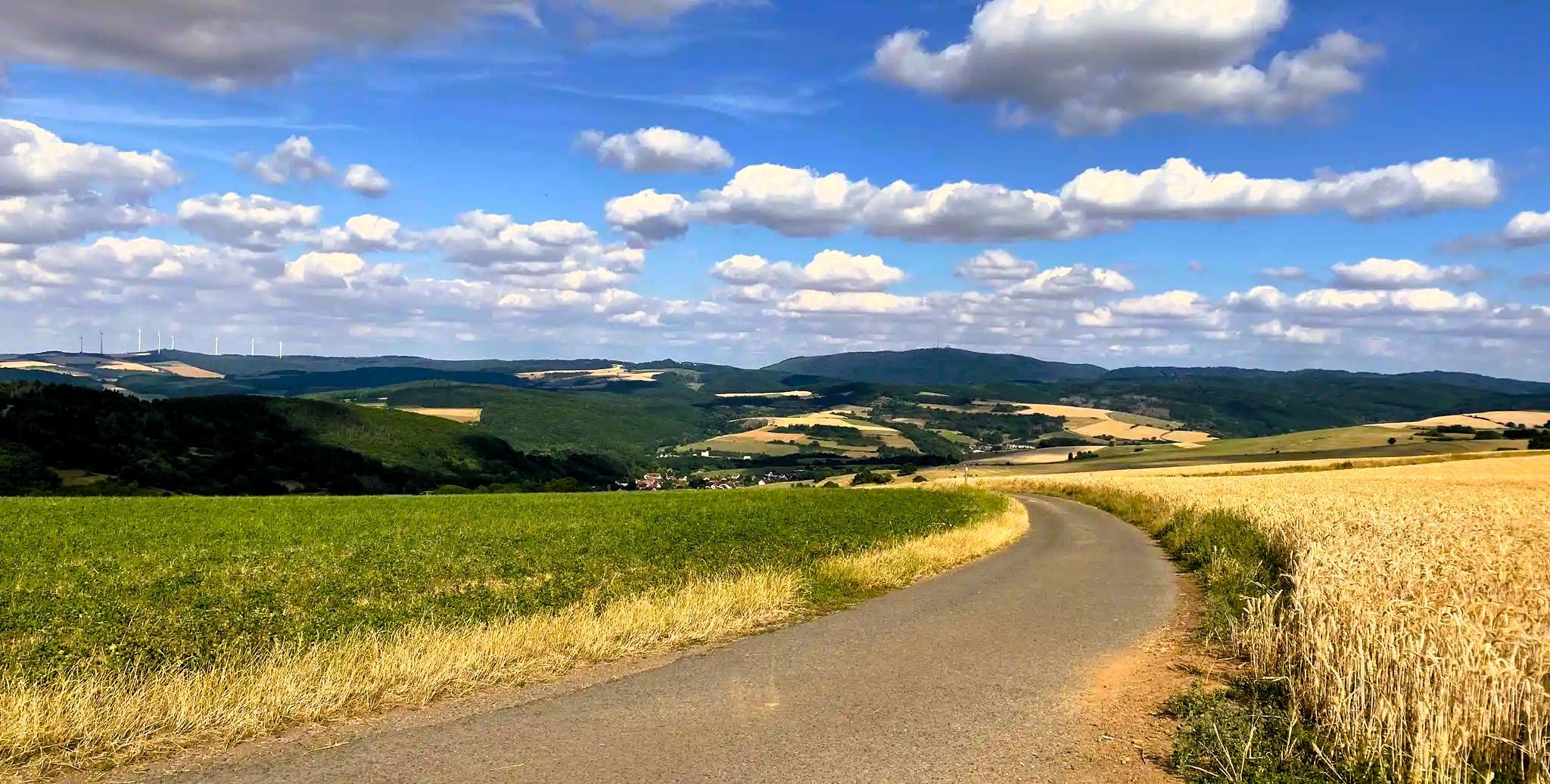
Palatinate High Route – Hike a hidden gem in Southwest Germany

Cycling in the Nahe holiday region – On the road in the wine-growing region
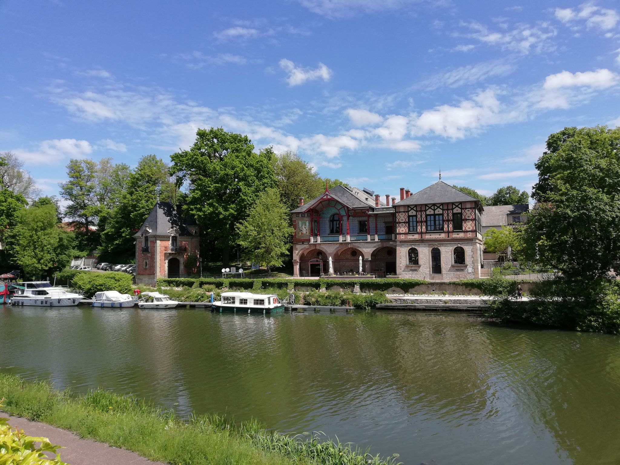
The Glan-Blies cycle path - in 5 stages from Saarland to the Palatinate
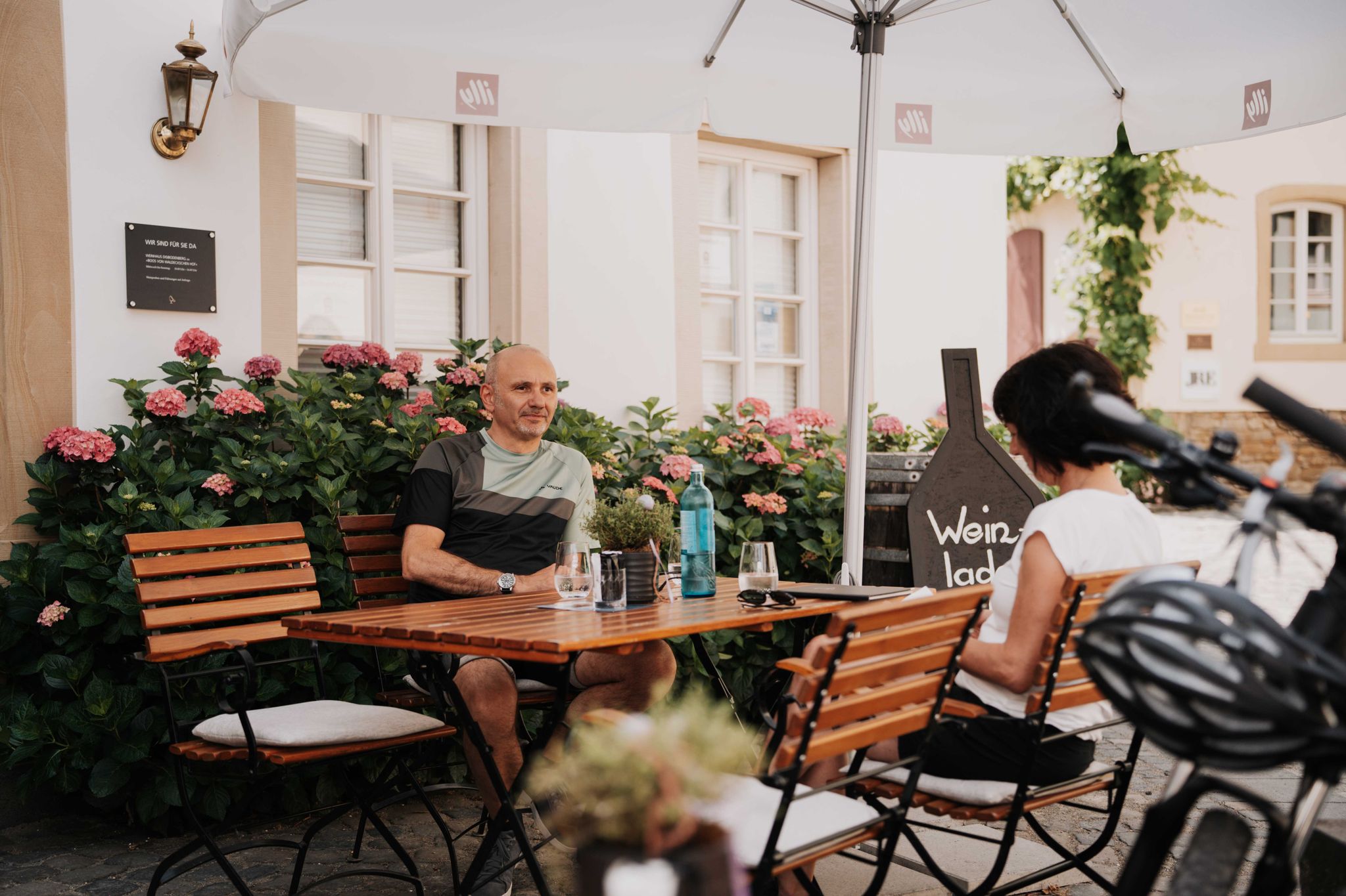
Genussradeln an der Nahe
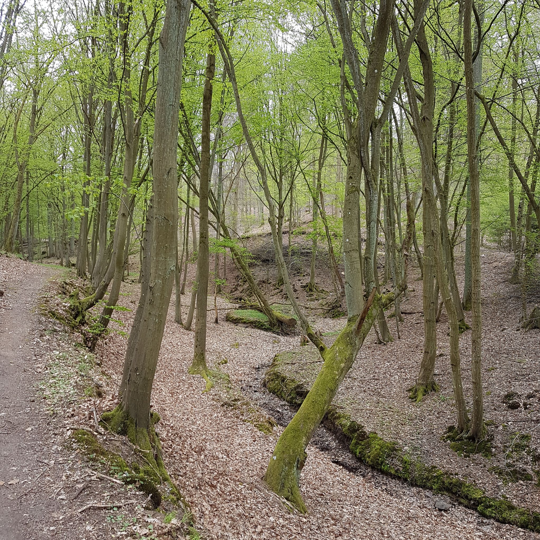
Hiking around Meisenheim
Cycling around Meisenheim
MTB Trails around Meisenheim
Road Cycling Routes around Meisenheim
Running Trails around Meisenheim
Gravel biking around Meisenheim
Other adventures around Meisenheim


Tips from the Community

From Obermoschel with ramps of 15-18% a quite challenging climb.
0
0

Great section, and both directions are worth it
0
0

Mega view from Narnia's stone table 😉
1
0


Very nice vantage point with rest stop.
0
0

Nice view especially when the weather is great
0
0

Always worth a detour, the panoramic view of the Limbacher Höhe with a fantastic view from the Palatinate to the Hunsrück makes you forget the ascent
0
0

Great view of the valley.
1
0
Frequently Asked Questions
What are some of the most popular viewpoints around Meisenheim?
The region around Meisenheim offers several popular viewpoints. Among them, the View of the Nahe Valley from Lemberghütte Observation Platform is highly regarded for its expansive views of the Nahetal. Another favorite is the Gangelsberg Stone Table and Scenic Viewpoint, which provides wide panoramic views and a spacious rest area.
Are there any challenging mountain peaks or ascents near Meisenheim?
Yes, for those seeking a more challenging experience, the Lettweiler Höhe is known for its demanding ascent. While it features sections with gradients up to 15%, the effort is rewarded with beautiful panoramic views of the surrounding landscape.
Which elevated points offer the best panoramic views of the region?
For exceptional panoramic views, consider visiting the View from Limbacher Höhe, which offers a fantastic vista stretching from the Palatinate to the Hunsrück. The Lettweiler Höhe also provides a good panoramic perspective of the area.
Are there family-friendly elevated points or viewpoints suitable for visitors with children?
Absolutely. The View of the Nahe Valley from Lemberghütte Observation Platform is newly built, well-secured, and includes benches and relaxation loungers, making it ideal for families. The Gangelsberg Stone Table and Scenic Viewpoint is also considered family-friendly, offering a spacious area to relax and enjoy the views.
What kind of outdoor activities can I do near the mountain peaks around Meisenheim?
The region around Meisenheim offers diverse outdoor activities. You can find numerous running trails, such as the 'Stone Bridge at Rehborn – Cyclist’s Inn Zum Radler loop from Rehborn' with a moderate difficulty. For road cycling, routes like 'Old Mill in Bad Sobernheim – Glan Bridge near Rehborn loop from Meisenheim' are available. Mountain biking enthusiasts can explore trails like 'Meisenheim Old Town – Montfort Castle Ruins loop from Meisenheim'. You can find more details on these activities in the Running Trails around Meisenheim, Road Cycling Routes around Meisenheim, and MTB Trails around Meisenheim guides.
Are there specific trails for mountain biking near the elevated points?
Yes, the Heimberg Summit Cross and Flowtrail is particularly popular among mountain bikers. It features a 'Flowtrail' that offers a great and fast experience from Kirschroth down to Heimberg, with beautiful views along the way. This trail is known for being fun and brisk.
Where can I find views of Meisenheim's historic Old Town from an elevated point?
The 'Juche´' Viewing Platform, located within the wooded slopes of the Glan valley, is known for offering impressive views of the historic old town of Meisenheim. It's often part of local circular paths like the 'Magical Heimbach' or the 'Wanderfit - Meisenheim walking route 'Juché'.
What are the characteristics of the landscape around Meisenheim's elevated points?
The landscape around Meisenheim is characterized by wooded hills and gentle riverbanks, creating a varied terrain. These elevated points, often referred to as 'Gipfel' or summits, provide excellent panoramic views over the Nahetal and Glan valley, making the region suitable for exploration and enjoying natural charm.
What do visitors particularly enjoy about the mountain peaks and viewpoints in this region?
Visitors frequently praise the stunning panoramic views, especially from spots like the Lemberghütte Observation Platform, which offers one of the best views of the Nahe valley. The spacious and well-equipped rest areas, such as the Gangelsberg Stone Table, are also highly appreciated for their comfort and scenic beauty.
Are there any circular routes that include these elevated points?
Yes, the 'Meisenheim - Panorama route' is an easy circular route that traverses the idyllic Heimbach valley and the Desloch Heights. This route, with its highest point at 326 meters, offers beautiful panoramic views and leads back to Meisenheim's historic Old Town. The 'Juche´' Viewing Platform is also part of circular paths like the 'Magical Heimbach'.
What is the Heimberg known for besides its summit cross?
Beyond its summit cross, the Heimberg is well-known for its 'Flowtrail,' which attracts mountain bikers. This trail provides a great and brisk downhill experience from Kirschroth, allowing riders to enjoy beautiful views while descending.
Can I find information about the visible landscape at the viewpoints?
Yes, the View of the Nahe Valley from Lemberghütte Observation Platform is equipped with information panels that detail the visible landscape. This enhances the viewing experience by providing context about the surrounding area.
Most popular routes around Meisenheim
Most popular attractions around Meisenheim

Get inspired with the komoot mobile app


Explore more
See even more amazing summits around Meisenheim with these guides:
