The 7 Most Amazing Peaks in Landkreis Augsburg
Best mountain peaks in Landkreis Augsburg are found within Bavarian Swabia, offering a diverse landscape with elevated points for recreation and scenic views. The region features natural hills and unique artificial formations. These areas provide opportunities for hiking and exploring the local geology and panoramic vistas.
Best mountain peaks in Landkreis Augsburg
- The most popular mountain peaks is Ulrichshöhe Königsbrunn, a viewpoint that offers panoramic views over Königsbrunn and Augsburg. This artificial hill was created from excavation material and…
Last updated: September 29, 2026
Bismarck Tower, Augsburg
Highlight • Monument
Translated by Google •
Tip by

Monte Scherbelino (Augsburg Rubbish Hill)
Highlight • Viewpoint
November to March 8 a.m. to 4 p.m.
April to October 8 a.m. to 6 p.m.
Translated by Google •
Tip by

Sign up now to discover places like this
Get recommendations on the best single tracks, peaks, & plenty of other exciting outdoor places.
Ulrichshöhe Königsbrunn
Highlight • Viewpoint
Translated by Google •
Tip by

Bonstetten Telecommunications Tower
Highlight • Monument
Translated by Google •
Tip by

Pietà Chapel on the Reflection Trail
Highlight • Religious Site
Translated by Google •
Tip by

Trail to Sulzkopf
Highlight • Trail
Translated by Google •
Tip by

Hohe Reute Summit View
Highlight • Summit
Greetings Marcus
Translated by Google •
Tip by

Start today with a free account
Your next adventure awaits.
Popular around Landkreis Augsburg

Augsburger Jakobsweg – Through Bavarian-Swabia
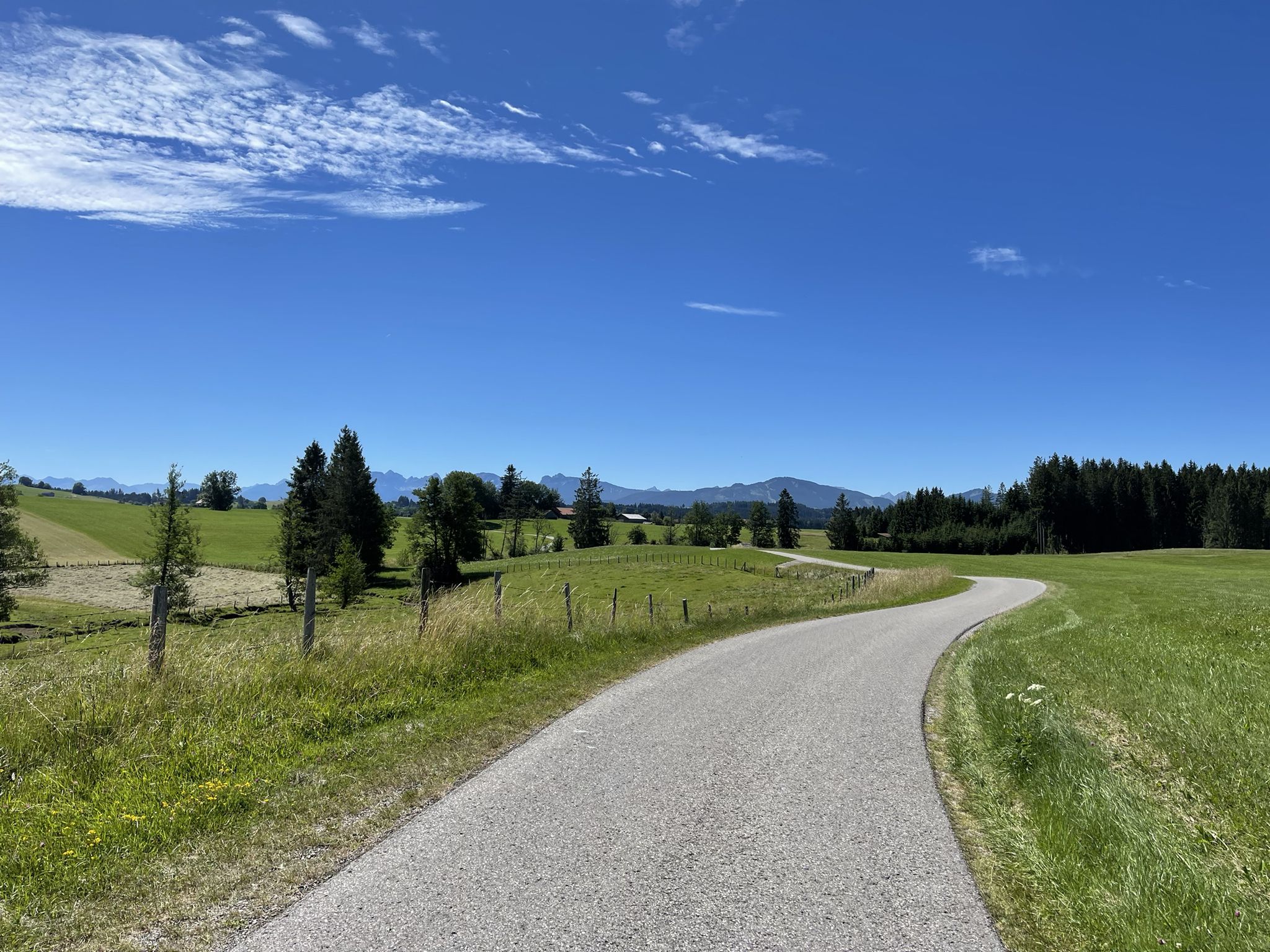
Hike from Augsburg to the Allgäu Alps

The Romantic Road – To the Pearls of Southern Germany
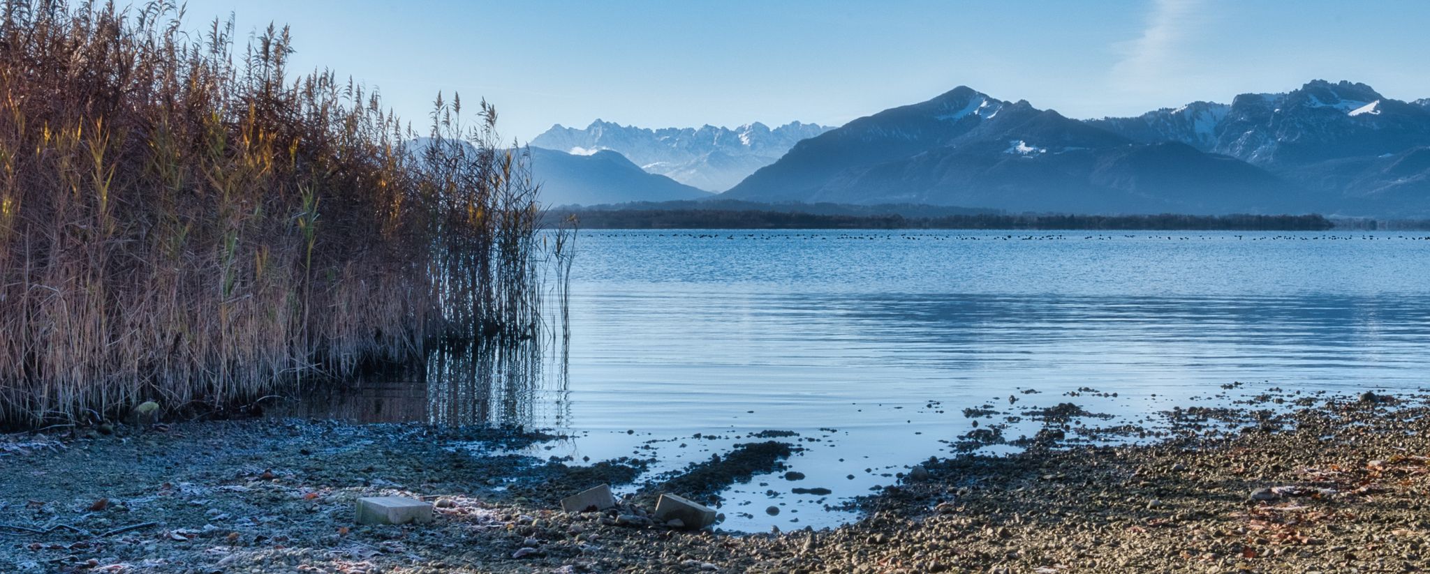
The Via Julia – on new old roads
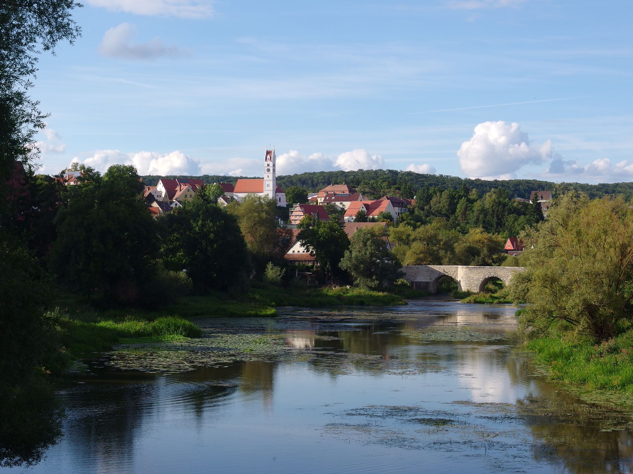
The Romantic Road – 10 fabulous stages
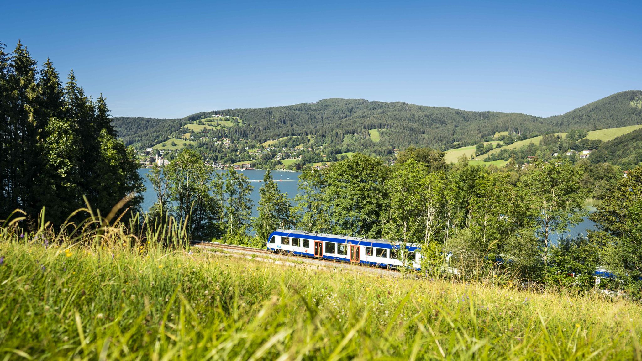
Mountain air by train – hiking in the BRB Network

The National Natural Landscapes in Bavaria
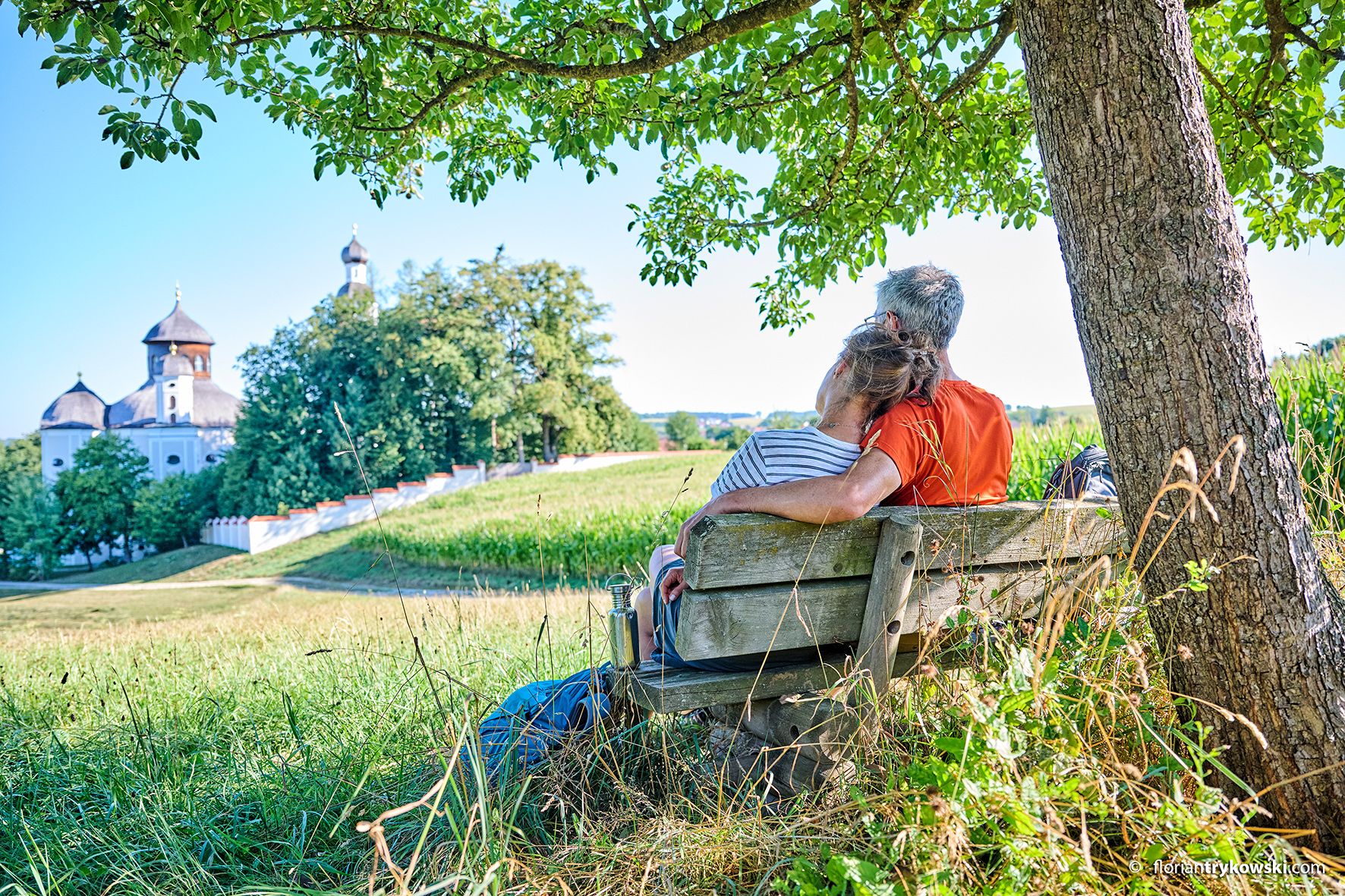
Castles, Nature and History – hiking loops in the Wittelsbacher Land
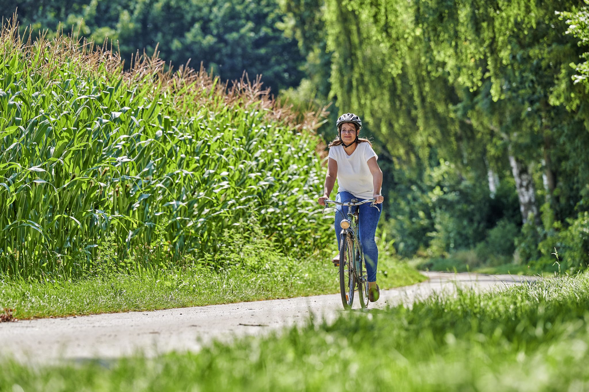
Enjoying nature and culture – cycling in the Augsburger Land

#GoFurther – discover the views of Germany!
Other adventures in Landkreis Augsburg


Tips from the Community

1983 built transmission mast of Deutsche Telekom microwave and mobile radio as well as VHF
0
0

The Sulzkopf, west of Bergheim in the "Rauher Forst", is barely visible in the forest area at 558 metres above sea level. Nevertheless, it is the highest point in Augsburg.
0
0

You will probably never get this close to a radio tower, as it is located in the middle of the forest.
1
0


You have to be at the top to enjoy the great view. Greetings Marcus
2
0

This highest point in the district of Augsburg is a wonderful place and has been a very special place since time immemorial, where the divine mother is thanked and blessings are bestowed.
0
0

The Ulrichshöhe is an artificial hill for viewing and tobogganing in the west of the city of Königsbrunn. It was heaped up from 2004 with the gravel excavated during the renaturation of the Wertach and with overburden from the construction of the FCA stadium. The ascent takes place on a wide path that runs around the hill. At the top there is a good panoramic view over the city of Königsbrunn, in the north to Augsburg, in the south to the Alps in good weather.
4
0

one of the elevations in the Augsburg area with a view over Augsburg to Friedberg
1
0
Frequently Asked Questions
What are some of the most prominent mountain peaks and elevated areas in Landkreis Augsburg?
Landkreis Augsburg features a mix of natural hills and unique artificial formations. Notable elevated areas include the Staufenberg, recognized for its geological importance, the Hohe Reute offering scenic views, and the artificial hills of Monte Scherbelino (Augsburg Rubbish Hill) and Ulrichshöhe Königsbrunn, both popular for panoramic vistas.
What is the highest natural point in Landkreis Augsburg?
The highest natural point in Landkreis Augsburg is Wannberg, reaching an elevation of 641 meters. While it is the highest, specific visitor-oriented features or established hiking trails to viewpoints are not as prominently documented as other peaks in the region.
Are there family-friendly options for exploring mountain peaks in Landkreis Augsburg?
Yes, several elevated areas are suitable for families. Ulrichshöhe Königsbrunn is a popular spot with a wide path to its summit, offering easy access and panoramic views. Monte Scherbelino (Augsburg Rubbish Hill) is also accessible for walking and provides great views, making it a good choice for a family outing.
What makes the Staufenberg unique in Landkreis Augsburg?
The Staufenberg, located near Bonstetten, is unique due to its significant geological importance. It boasts the oldest ice-age gravels in Landkreis Augsburg and the entire Swabia region. A geological nature trail winds around the Staufenberg, offering an educational experience about the formation of the Alpine foothills and local geology. For more information, you can visit Wikipedia or explore the geological nature trail.
Where can I find panoramic views in Landkreis Augsburg?
For extensive panoramic views, consider visiting Ulrichshöhe Königsbrunn, which offers vistas over Königsbrunn, Augsburg, and on clear days, even the Alps. Monte Scherbelino (Augsburg Rubbish Hill) also provides panoramic views and is easily accessible. The Hohe Reute near Dinkelscherben-Ettelried is another spot known for its scenic viewpoints.
What kind of hiking opportunities are available near these mountain peaks?
The Landkreis Augsburg region, particularly within the Augsburg-Western Forests Nature Park, offers numerous hiking trails. You can find routes like the 'Otto Schneider loop' or the 'Three Castles Tour' which are popular in the area. For more hiking options, explore the Hiking in Landkreis Augsburg guide.
Are there cycling or gravel biking routes in the Landkreis Augsburg region?
Yes, the region provides diverse cycling opportunities. For gravel biking, you can find routes like the 'Anhauser Valley – Wertach Embankment Trail loop'. If you prefer general cycling, options such as the 'Wertach Cycle Path' or the 'Paar Cycle Path' are available. More details can be found in the Gravel biking in Landkreis Augsburg and Cycling in Landkreis Augsburg guides.
What are the operating hours for Monte Scherbelino?
The Monte Scherbelino (Augsburg Rubbish Hill) is generally open for visitors from 8 a.m. to 4 p.m. between November and March, and from 8 a.m. to 6 p.m. between April and October.
Are there any historical or cultural sites associated with the peaks?
The Pietà Chapel on the Reflection Trail is a historical and religious site located at one of the district's highest points, offering a special place for reflection. Additionally, Monte Scherbelino, as a 'rubbish hill,' holds a unique historical context as a testament to local material use, similar to other 'Trümmerberge' in Germany.
What do visitors enjoy most about Ulrichshöhe Königsbrunn?
Visitors particularly enjoy the fantastic panoramic views from Ulrichshöhe Königsbrunn, which stretch over Königsbrunn and Augsburg, and even to the Alps on clear days. The wide, accessible path to the summit is also appreciated. In winter, its eastern flank becomes a popular spot for sledding, adding to its appeal as an excursion destination.
Are there options for winter activities near the peaks?
Yes, Ulrichshöhe Königsbrunn is a popular destination for sledding during winter due to its eastern flank providing a rapid descent, making it a beloved spot for families and nature enthusiasts.
What is the 'Hohe Reute' known for?
The Hohe Reute, located near Dinkelscherben-Ettelried, is known for providing a varied landscape for hikers. It offers scenic views and is often combined with the Rauhenberg for hiking routes, making it suitable for those seeking diverse scenery and good viewpoints within the region.
Most popular routes in Landkreis Augsburg
Most popular attractions in Landkreis Augsburg

Get inspired with the komoot mobile app


Didn’t find what you were looking for?
Discover Landkreis Augsburg’s best peaks and summits by region:
Explore more
See even more amazing summits in Landkreis Augsburg with these guides:
