Top 6 Gorges in Naturpark Märkische Schweiz
Best canyons in Naturpark Märkische Schweiz are characterized by deep gorges and valleys, locally known as "Kehlen" or "Schluchten." These formations were carved by glacial meltwaters during the last ice age, giving the park a rugged and hilly character. The varied terrain, with its "mountains and gorges, streams and forests," offers a distinct landscape within the generally flat Brandenburg region. This unique geological history makes the area a notable destination for exploring natural features.
Best canyons in Naturpark Märkische Schweiz
…Last updated: May 27, 2026
Wolf Gorge (Märkische Schweiz)
Highlight • Gorge
Translated by Google •
Tip by

Silberkehle Gorge
Highlight (Segment) • Gorge
Translated by Google •
Tip by

Sign up now to discover places like this
Get recommendations on the best single tracks, peaks, & plenty of other exciting outdoor places.
Sign up for free
Upper Section of Wolfsschlucht
Highlight • Gorge
Translated by Google •
Tip by

Drachenkehle Gorge
Highlight • Gorge
Translated by Google •
Tip by

Märkische Schweiz Nature Park
Highlight • Natural Monument
Translated by Google •
Tip by

Sign up for free to discover even more gorges in Naturpark Märkische Schweiz.
Sign up for free
Already have an account?
Start today with a free account
Your next adventure awaits.
Login or Signup
Popular around Naturpark Märkische Schweiz
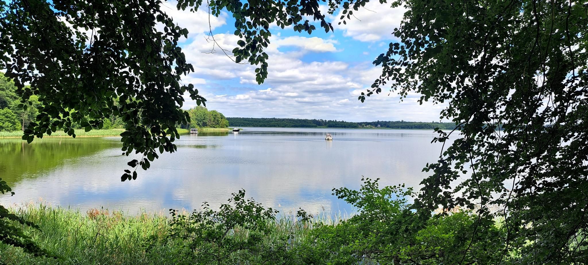
The National Natural Landscapes in Brandenburg
Late riser routes – hiking in the Oder-Spree Lake District
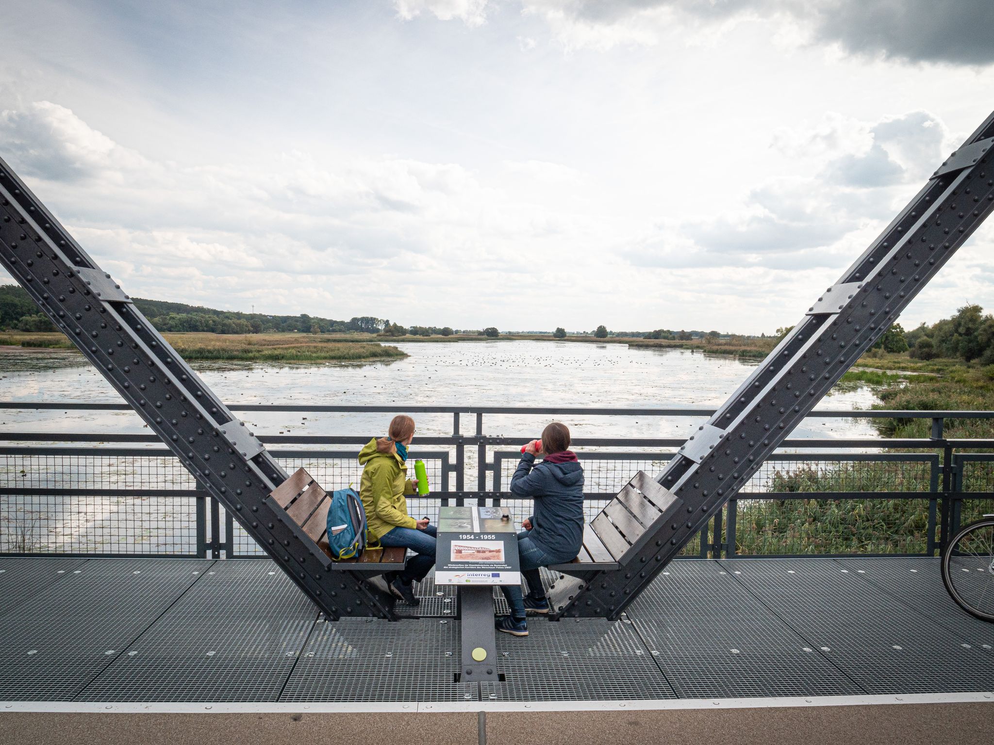
Travelling without boundaries – German-Polish cycling trips
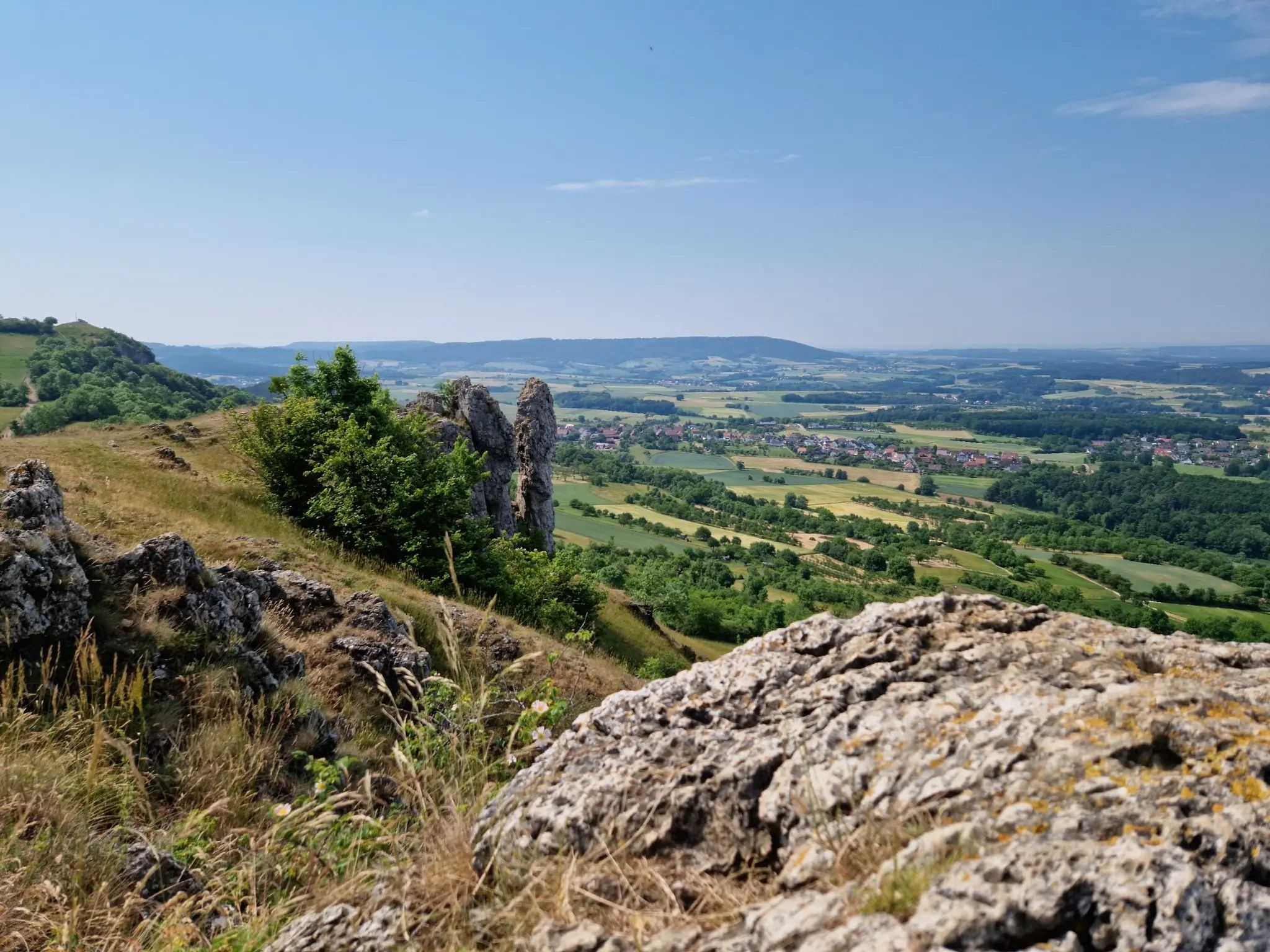
Ten fantastic hikes throughout Germany
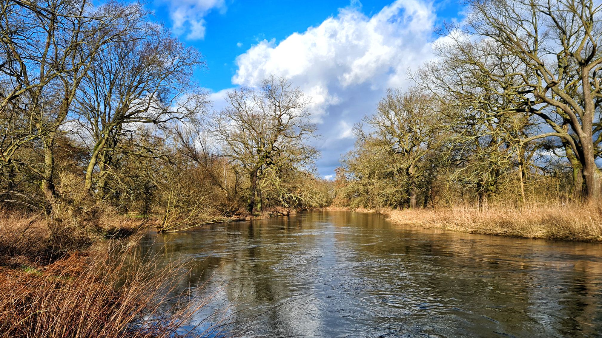
Stage hike 'From the Oder to the Elbe and on to the Saale'
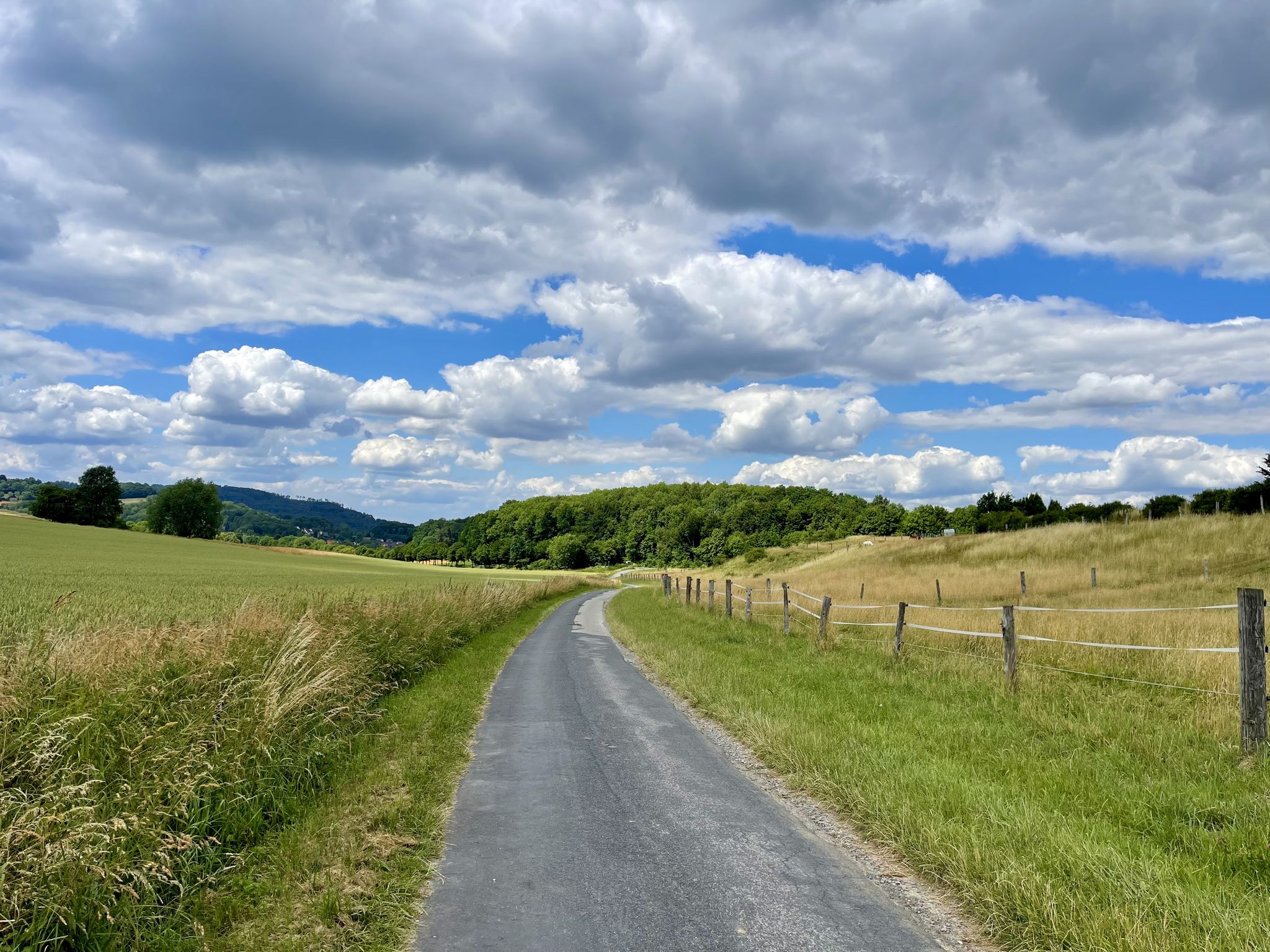
D-Route 3: European Route R1
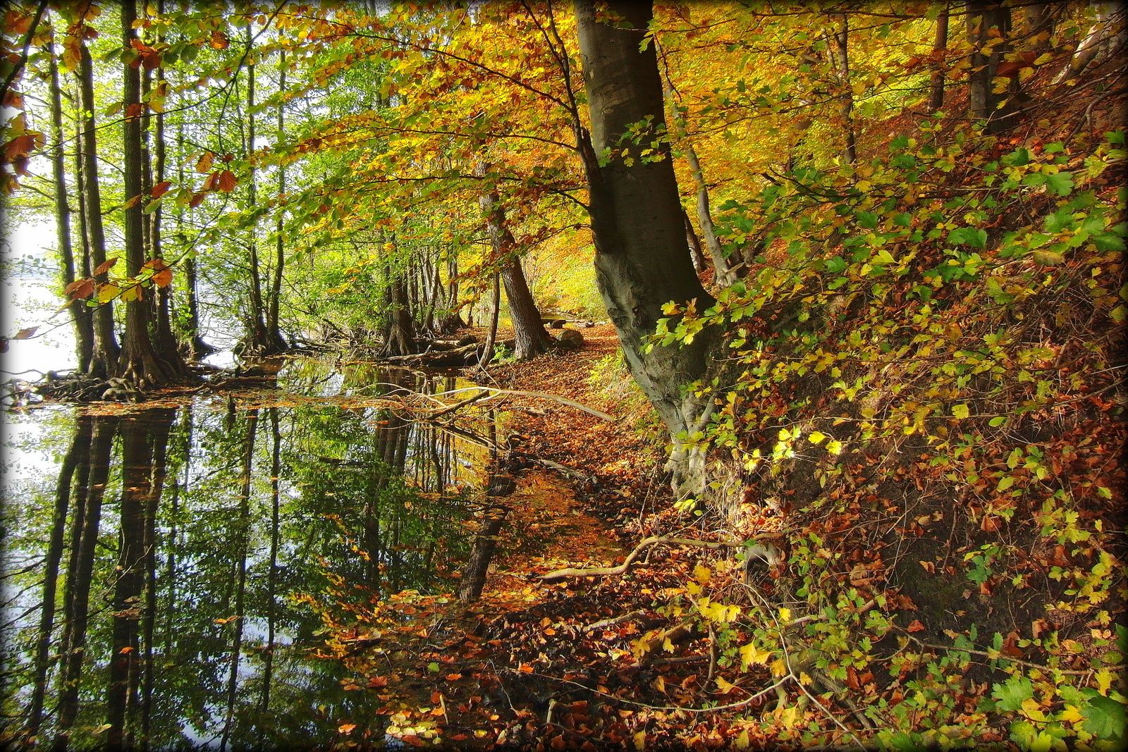
Fabulous autumn hikes around Berlin
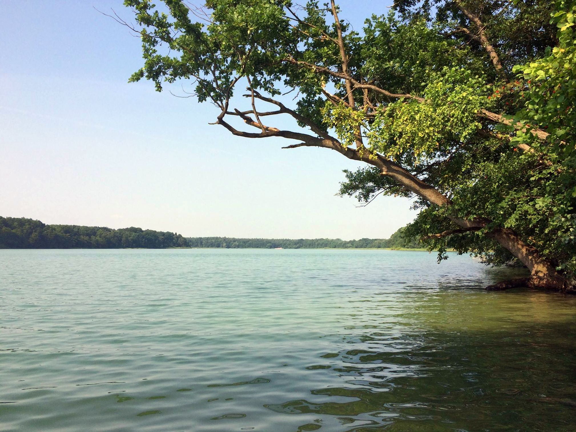
Berlin's sensational swimming lakes
Berlin's hottest trails
Farm shops in Brandenburg
Other adventures in Naturpark Märkische Schweiz


Tips from the Community

There are places that are more than just a landscape. The Wolfsschlucht (Wolf Gorge) in Märkische Schweiz (Markish Switzerland) is one such place – and its upper section is a pure natural adventure. 40 meters of elevation separate the Dachsberg from the Kleiner Tornowsee (Little Tornow Lake), but the path between them is no stroll, but an expedition through Brandenburg's small wilderness. A Weichselian glacial valley, just like in a book – if that book tells of damp roots, slippery carpets of leaves, and childlike climbing. Anyone who walks here in dry weather immediately understands: This isn't just a gorge, it's a stage. For little explorers crawling through the undergrowth with shining eyes. For grown-up children who forget they're actually adults. And for dogs who think they're in Canada. Deviating to the right or left from the actual path isn't an obligation, but an inner compulsion – somewhere between climbing fun and primal instinct. The trees lean over the path like spectators, some lying sideways, as if asking, "Well, can you get over it?" Others creak with quiet approval as you push past. And if you pause for a moment, you'll sense it: This place is a relic from another time – shaped by glaciers, animated by mosses, and steeped in history.
0
0

Just let your inner child out here. 😁 This section is only suitable for pedestrians.
2
0
The Wolfsschlucht is always a highlight, best done on foot! It's also fun to drift to the right or left and climb your own path within the "ravine".
0
0

The Drachenkehle is the path through the gorge from the former root spruce on the Sophienfiß up to the Krugberg, the highest elevation in Märkische Schweiz. The throats are a specialty of Märkische Schweiz. A humid climate prevails in the deeply cut gorges. Water constantly flows over the valley floor from springs and streams. Humid forest communities such as pedunculate oak and hornbeam forests or beech forests with interspersed ash, small-leaved and small-leaved lime trees, sycamore, sycamore and white elm can develop here. The herbaceous layer is rich in mosses, ferns and spring flowering plants such as maidenhair moss, polypody fern, herbaceous herb, hepatica and lesser celandine. Source: http://www.maerkische-schweiz.de/pages/region/sehenswuerdig/naturdenkmaeler/drachenkehle.html Due to storm damage, especially fallen trees, the path was practically impassable for a while. However, these have been eliminated and the path is fully accessible. Coming from the Sophienfiß you go uphill at the signpost, which is in a nettle field and is hardly recognizable.
1
0

The Wolfsschlucht is a Vistula glacial notched valley. The difference in height of the gorge between the Dachsberg at the upper end and the small Tornowsee is 40 m.
0
0

I can't really recommend cycling here: in addition to the steepness, low-lying trees and one or the other large rock are a nuisance
4
0

In good weather (dry) great for kids to run around!
0
0

For hikers, only conditionally passable for cyclists, as long as the many fallen tree trunks are in the way.
1
0
Frequently Asked Questions
What kind of landscape defines the canyons in Naturpark Märkische Schweiz?
The canyons, locally known as "Kehlen" or "Schluchten," are a defining feature of Naturpark Märkische Schweiz. They were carved by glacial meltwaters during the last ice age, creating a surprisingly rugged and hilly character amidst the generally flat Brandenburg landscape. This unique geological history gives the park its nickname, "Brandenburg's Little Switzerland," with varied terrain featuring mountains, gorges, streams, and forests.
Are there challenging canyon hikes in Naturpark Märkische Schweiz?
Yes, some canyons offer challenging hiking experiences. For instance, the Silberkehle Gorge is known for its steep sections and fallen trees, requiring surefootedness. It's recommended for experienced hikers, especially in dry conditions, as it can be very slippery otherwise.
Which canyons are suitable for families or less experienced hikers?
For families or those seeking a less strenuous experience, the Upper Section of Wolfsschlucht is an intermediate gorge within a forest, and in good, dry weather, it's great for kids to run around. The wider Naturpark Märkische Schweiz itself is considered family-friendly, offering various trails with different difficulty levels.
What unique natural features can I expect to see in the canyons?
The canyons are rich in unique natural features. In gorges like Drachenkehle Gorge, a humid microclimate prevails, supporting diverse plant communities such as pedunculate oak and hornbeam forests, rich mosses, ferns, and spring flowering plants. The region also features prominent dry valleys like Schwarze Kehle, Langer Grund, and Grenzkehle, which are direct results of ice age erosion and offer insights into the area's geological past.
What is the best time of year to visit the canyons in Naturpark Märkische Schweiz?
The canyons can be visited year-round, but each season offers a different experience. Spring brings vibrant greenery and blooming wildflowers, while autumn showcases stunning foliage. Summer is ideal for longer hikes, and winter, if conditions allow, can offer a serene, snow-covered landscape. However, challenging gorges like Silberkehle are best tackled in dry weather due to slippery conditions.
Are there any specific viewpoints or scenic spots within or near the canyons?
Yes, the varied terrain offers several scenic spots. The Wolf Gorge (Märkische Schweiz) lies between the 106-meter-high Dachsberg and the 37-meter-high Kleiner Tornowsee, offering a notable altitude difference. The Obere Wolfsschlucht trail also leads to the Aussicht vom Dachsberg (Dachsberg viewpoint) near Buckow, providing engaging views of the landscape.
What outdoor activities can I do near these canyons?
Beyond exploring the canyons themselves, Naturpark Märkische Schweiz offers a wide range of outdoor activities. You can find numerous routes for gravel biking, cycling, and mountain biking. The park is a prime destination for hiking, with trails winding through gorges, valleys, and along the Stobber river.
Can I bring my dog on the canyon trails?
Many trails in Naturpark Märkische Schweiz are dog-friendly, allowing you to explore the canyons with your canine companion. However, for challenging sections like Silberkehle Gorge with its steep parts and fallen trees, assess if your dog can safely navigate the terrain. Always keep dogs on a leash and respect local regulations.
Are there any specific geological formations or dry valleys to look out for?
Yes, the region is famous for its "Kehlen," "Schluchten," and dry valleys. Beyond the well-known gorges, you can explore erosion channels like Drachenkehle and Moritzgrund, as well as prominent dry valleys such as Schwarze Kehle, Langer Grund, and Grenzkehle. These formations are crucial to understanding the park's diverse glacial landscape and offer unique hiking experiences.
What is the Stobbertal and how does it relate to the canyons?
While not a canyon in the traditional sense, the Stobbertal (Stobber Valley) is the largest meltwater channel in Naturpark Märkische Schweiz. It's a significant and complex biotop network, connecting major glacial spillway valleys. The Stobber river meanders through it, and many hiking trails follow its course, offering picturesque views and a rich variety of habitats due to its diverse geomorphological structure.
What should I wear when hiking in the canyons of Märkische Schweiz?
Given the varied terrain, including steep and potentially slippery sections, sturdy hiking boots with good ankle support are highly recommended. Layered clothing is advisable to adapt to changing weather conditions and microclimates within the gorges. For challenging trails, consider bringing trekking poles for added stability.
Are there any circular hiking routes that include the canyons?
Yes, the park offers numerous circular hiking routes that incorporate its distinctive gorges and valleys. The "NaturaTrail – Durch die Schluchten und Kehlen der Märkischen Schweiz" specifically highlights these geological features, providing an immersive experience of the region's unique landscape. Many local trails are designed as loops, allowing you to start and end at the same point.
Most popular routes in Naturpark Märkische Schweiz
Most popular attractions in Naturpark Märkische Schweiz

Get inspired with the komoot mobile app


Explore more
Already discovered everything in this region? See additional gorges in Naturpark Märkische Schweiz for your next adventure:
