The best road cycling routes around Körborn
4.6
(73)
1,383
riders
118
rides
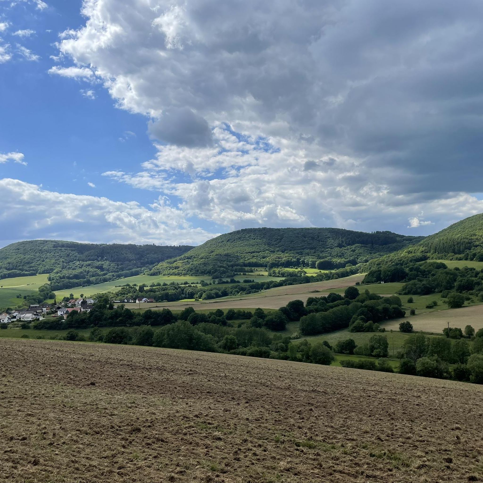
Road cycling routes around Körborn traverse a diverse topography, ranging from lower elevations around 270 meters to higher points reaching 456 meters in wooded northern areas. The village itself is situated between 360 and 390 meters above sea level. The region features rolling hills and dense forests, providing varied terrain for road cyclists. Körborn is also located in the headwaters of the Mühlbach, offering dynamic environments for cycling.
Best road cycling routes around Körborn
- The most popular road cycling route…
Last updated: June 25, 2026
4.0
(6)
76
riders
65.4km
02:51
300m
300m
Moderate road ride. Good fitness required. Some segments of this route may be unpaved and difficult to ride.
4.0
(2)
12
riders
Moderate road ride. Good fitness required. Mostly well-paved surfaces and easy to ride.

Sign up for free
11
riders
36.9km
01:39
340m
340m
Moderate road ride. Good fitness required. Mostly well-paved surfaces and easy to ride.
9
riders
42.1km
01:59
490m
490m
Moderate road ride. Good fitness required. Mostly well-paved surfaces and easy to ride.
8
riders
56.8km
02:33
490m
490m
Moderate road ride. Good fitness required. Mostly well-paved surfaces and easy to ride.
Get access to more routes and recommendations from other explorers.
Sign up for free
Already have an account?
Our route recommendations are based on thousands of hikes, rides, and runs completed by other people on komoot.
Start today with a free account
Your next adventure awaits.
Login or Signup

Other adventures around Körborn

Tips from the Community


The Henschbach Valley Bridge is 390m long and was built in 1970-1971.
0
0

Very nice cycle path, highly recommended....
0
0
Cool thing to drive with these things is certainly fun
0
0
Great buildings highly recommended
0
0
Great cycle path highly recommended
0
0
Very beautiful half-timbered building
0
0
Frequently Asked Questions
How many road cycling routes are available around Körborn?
There are over 120 road cycling routes around Körborn. These routes cater to various skill levels, with 13 easy, 82 moderate, and 27 difficult options, ensuring a suitable ride for every cyclist.
What kind of terrain and landscapes can I expect when road cycling near Körborn?
Road cycling around Körborn offers a diverse topography, characterized by rolling hills and dense forests. Elevations range from around 270 meters to higher points reaching 456 meters. The region is situated in the headwaters of the Mühlbach, providing dynamic environments, and includes parts of the scenic Pfälzerwald nature reserve.
Are there routes suitable for beginners or families with children?
Yes, Körborn offers routes suitable for beginners and families. There are 13 easy routes available, providing gentler terrain and shorter distances. The area's well-maintained paths through fields and meadows, along with quiet roads, make it accessible for less experienced riders.
What are some notable landmarks or attractions I can see while cycling in Körborn?
While cycling in Körborn, you can encounter several interesting landmarks. A prominent attraction is Lichtenberg Castle, a well-preserved complex offering panoramic views. Other points of interest include the Oberkirchen Viaduct and sections of the Rail trail through nature, which provide scenic views and historical context.
When is the best time of year to go road cycling in Körborn?
The ideal time for road cycling in Körborn is during spring and summer. These seasons offer pleasant temperatures and the opportunity to experience the region's blooming nature, making for a more enjoyable ride through its picturesque landscapes.
Are there any long-distance cycle paths accessible from Körborn?
Yes, Körborn provides access to significant long-distance cycle paths. The Glan-Blies Cycle Path, stretching over 130 kilometers, connects the Glan and Blies rivers, allowing cyclists to explore historical castles and charming villages. The Lautertalradweg also offers scenic views along the Lauter River and impressive rock formations.
What do other road cyclists enjoy the most about road cycling in Körborn?
The road cycling routes in Körborn are highly rated by the komoot community, with an average score of 4.5 stars from over 60 reviews. Cyclists often praise the varied terrain, the quiet roads, and the scenic beauty of the rolling hills and dense forests.
Are there any circular road cycling routes available?
Yes, many of the routes around Körborn are designed as loops, offering circular journeys. For example, the Börsborn bell tower – Water tower at the Sangerhof loop from Kusel is a popular circular trail that takes you through rolling hills and quiet roads.
What are the typical elevation changes on road cycling routes in Körborn?
Road cycling routes in Körborn feature varied elevation changes due to the region's rolling hills. While the village itself sits between 360 and 390 meters, routes can descend to around 270 meters and climb to higher points up to 456 meters, providing a dynamic and engaging cycling experience.
Can I find routes that offer views of natural features?
Absolutely. The region around Körborn is rich in natural beauty. Routes often follow the headwaters of the Mühlbach and traverse dense forests, offering scenic views. The Lautertalradweg, for instance, provides views of the valley and impressive rock formations, while the Pfälzerwald nature reserve is known for its unspoiled beauty and spectacular viewpoints.
Are there any moderate difficulty routes that offer scenic views?
Yes, many moderate routes combine scenic beauty with a manageable challenge. The Reichenbachtal Cycle Path – Erdesbach Weir on the Glan loop from Kusel is a moderate 28.6-mile path that offers scenic views along the Glan river and through varied terrain, making it a favorite among local cyclists.
What is the average distance of road cycling routes in Körborn?
The road cycling routes in Körborn vary in distance, catering to different preferences. Many popular routes range from approximately 25 to 40 miles (40 to 65 kilometers), offering a good balance for a day trip. For example, the Stork Aviary Theisbergstegen – Börsborn bell tower loop from Kusel is about 35 miles (56 km) long.
Most popular attractions around Körborn

Get inspired with the komoot mobile app


Explore more
Browse the best Road cycling routes in other regions.
