Gunthwaite And Ingbirchworth
Gunthwaite And Ingbirchworth
The 13 Most Amazing Peaks around Gunthwaite And Ingbirchworth
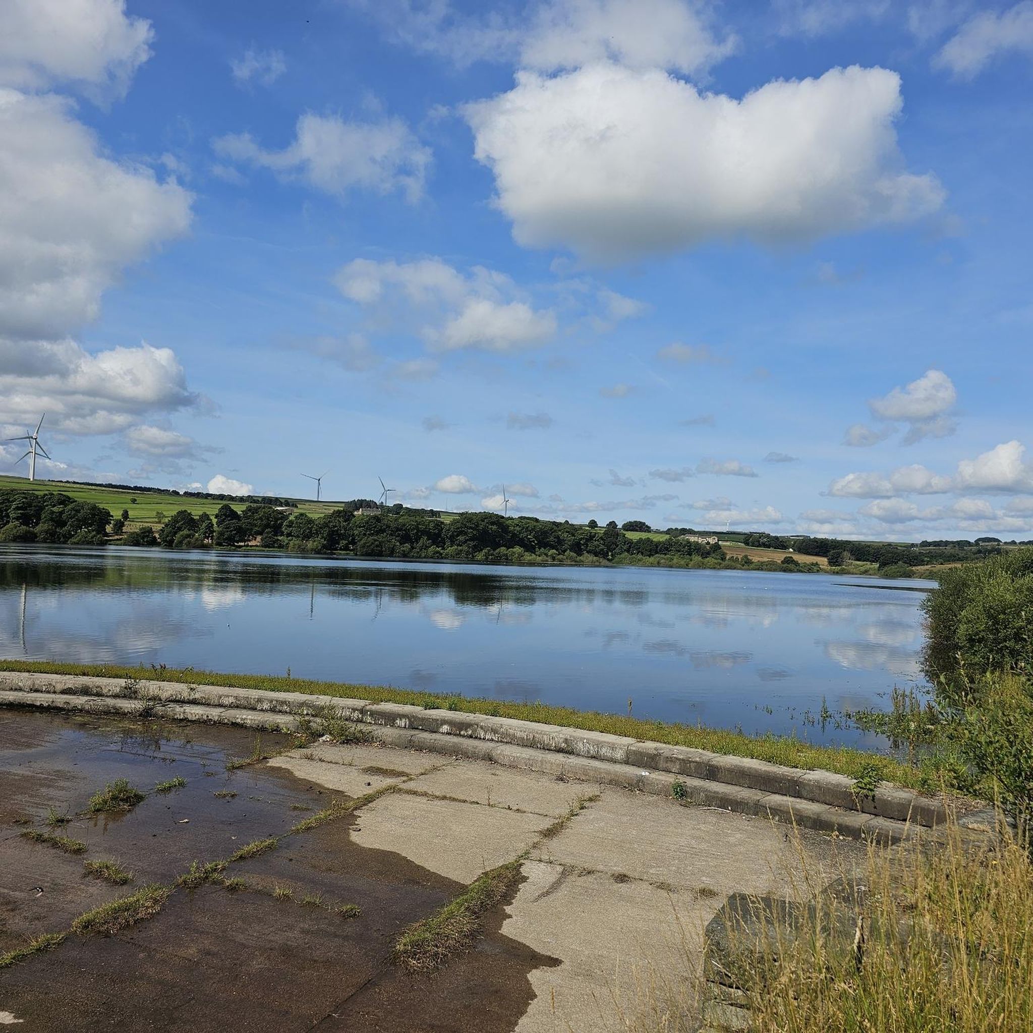
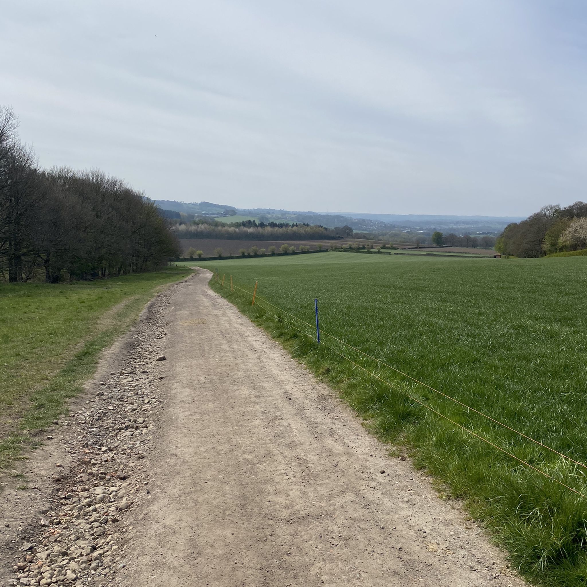
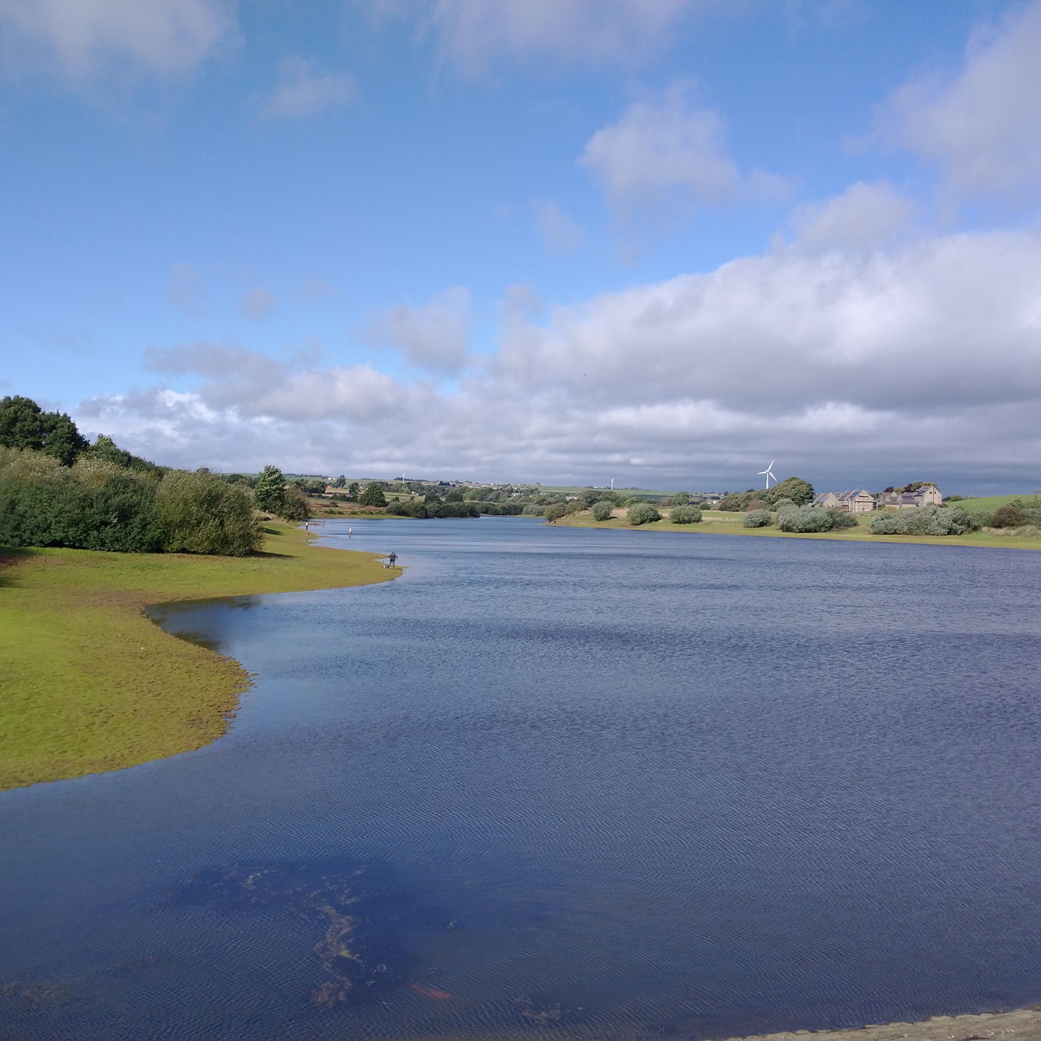
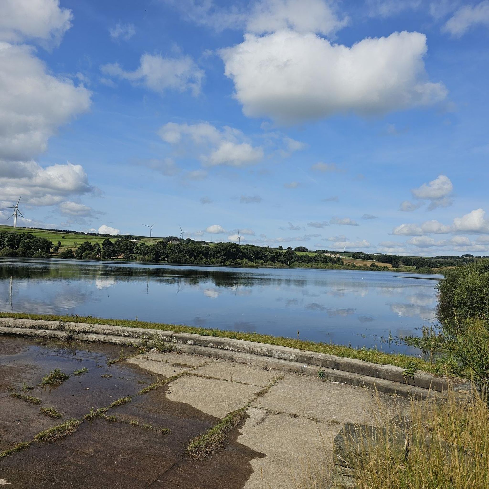
Best mountain peaks around Gunthwaite And Ingbirchworth are characterized by gentle, undulating terrain rather than towering summits. This civil parish in the Barnsley district of South Yorkshire, England, offers picturesque landscapes featuring serene reservoirs and pleasant walking routes. The area's primary natural attractions include Ingbirchworth Reservoir, Scout Dike Reservoir, and Royd Moor Reservoir, which provide tranquil settings for outdoor activities and scenic views. These locations offer rewarding walks through the countryside, ideal for nature enthusiasts.
Best mountain peaks around Gunthwaite…
Last updated: June 28, 2026
Holme Moss Summit Climb from Holmbridge
Highlight (Segment) • Summit
Tip by

Castle Hill Tower
Highlight • Historical Site
Tip by

Sign up now to discover places like this
Get recommendations on the best single tracks, peaks, & plenty of other exciting outdoor places.
Sign up for free
Snailsden Pike End Trig Point
Highlight • Viewpoint
Tip by

Outer Edge Trig Point
Highlight • Natural Monument
Tip by
Dead Edge End Trig Point
Highlight • Monument
Tip by
Sign up for free to discover even more peaks around Gunthwaite And Ingbirchworth.
Sign up for free
Already have an account?
Start today with a free account
Your next adventure awaits.
Login or Signup
Popular around Gunthwaite And Ingbirchworth

Tips from the Community

Outer Edge 541m P23 (1775ft) (DoBIH Hill ID: 7729) [JNSA 5996] TP5253 - Outer Edge S1771 County of Yorkshire Definitive List summit. Peak District National Park Definitive List summit.
0
0

Extreme bog monster to get to this trig point
1
0

Castle Hill is a scheduled ancient monument with a history spanning over 4,000 years. It features the remains of Bronze Age and Iron Age hillforts, a 12th-century motte-and-bailey castle, and the site of a deserted medieval village, with the iconic Victoria Tower marking its summit.
1
0

Easily accessible by walking or by vehicle. Brilliant views in all directions of the Yorkshire Skyline. Very relaxing and quiet.
0
0

A remote trig point high on the moors, accessed via a very boggy path from Britland Edge Hill. It's also a Peak District Ethel, so great for ticking off if you're completing the Ethels Challenge.
0
0

A few other highlights incorrectly positioned this so re-submitting with the correct location
0
0

Feb 2023- wet underfoot and wild winds. Not all puddles are equal! Over my knee at one point. I'd advise waterproof boots and gaitors as it's a couple of miles of peat bog and water. There are better views than the trig point but nice to achieve.
0
0
High on the boggy grouse moors, Snailsden trig point is accessed just off the main path. The moors can be very wet so make sure you have waterproof footwear, and the mist can roll in quickly.
0
0
Frequently Asked Questions
What are the most notable elevated spots to visit around Gunthwaite And Ingbirchworth?
While the region features gentle, undulating terrain rather than towering peaks, there are several elevated spots offering rewarding views. Popular choices include Holme Moss Summit Climb from Holmbridge, known for its challenging ascent and panoramic views, and Margery Hill Trig Point, which provides far-reaching views over Howden Edge. For a historical perspective, Castle Hill Tower offers impressive vistas from its 1000-foot elevation.
Are there family-friendly elevated spots or walks in the area?
Yes, several locations are suitable for families. Castle Hill Tower is a family-friendly historical site and viewpoint. Additionally, the walk around Wolfstones Trig Point offers great 360-degree views and is considered family-friendly. The circular walks around Scout Dike Reservoir and Ingbirchworth Reservoir are also easy and suitable for most fitness levels, including families.
What kind of natural features can I expect to see on walks around Gunthwaite And Ingbirchworth?
The region is characterized by picturesque landscapes featuring serene reservoirs and gentle hills. You'll encounter tranquil waterscapes at Ingbirchworth, Scout Dike, and Royd Moor Reservoirs. The surrounding areas often feature lush greenery, small woodland areas, and, in some places like around Wolfstones Trig Point, heather. Birdwatching is also a popular activity, especially around the reservoirs.
Are there any historical sites among the elevated points?
Yes, Castle Hill Tower is a prominent historical site. This hilltop location features the Victoria Tower, a man-made monument celebrating Queen Victoria's reign, offering impressive panoramic views from its 1000-foot elevation.
What are some easy hiking routes near these elevated spots?
For easy walks, consider the routes around the local reservoirs. The Ingbirchworth Reservoir walk is approximately 1.5 miles (2.93 km) and easy, while the Scout Dike Reservoir circular walk is about 2 miles (5.61 km) and mostly well-surfaced. Royd Moor Reservoir also offers a pleasant 1.5-mile (3 km) walk. You can find more easy hiking options in the Easy hikes around Gunthwaite And Ingbirchworth guide.
Are there more challenging trails for experienced hikers or cyclists?
Yes, for a challenging ascent, the Holme Moss Summit Climb from Holmbridge is known for its length and significant gradient, reaching 524 meters above sea level. For cyclists, the Road Cycling Routes around Gunthwaite And Ingbirchworth guide includes moderate to difficult options like the Holmfirth town centre – Whitley Road Climb loop. Gravel biking also offers challenging routes, such as those found in the Gravel biking around Gunthwaite And Ingbirchworth guide.
Can I bring my dog on walks around the elevated areas?
Many areas are dog-friendly, but always check specific signage. The Fountain Inn pub near Ingbirchworth Reservoir is dog-friendly, suggesting the reservoir walk is suitable. However, be aware that dogs are explicitly not allowed at Snailsden Pike End Trig Point due to its designation as a Site of Special Scientific Interest.
What should I know about the terrain, especially for places like trig points?
The terrain can vary. While reservoir paths are often well-surfaced, some sections, especially around trig points like Margery Hill Trig Point and Snailsden Pike End Trig Point, can be very boggy and wet, with deep peat bogs. Sturdy, waterproof footwear is highly recommended for these areas. The moors can also experience quick changes in weather, including mist.
Are there pubs or refreshment stops near the walking routes?
Yes, the dog-friendly Fountain Inn pub is conveniently located near Ingbirchworth Reservoir, providing a good stop for refreshments after a walk.
What do visitors particularly enjoy about the elevated spots and walks in this region?
Visitors appreciate the panoramic and far-reaching views from spots like Holme Moss Summit Climb from Holmbridge and Margery Hill Trig Point. The peaceful environment of the reservoir walks, opportunities for birdwatching, and the sense of accomplishment from challenging climbs are also frequently mentioned highlights. The historical significance and impressive views from Castle Hill Tower are also highly valued.
When is the best time of year to visit for walks and views?
The region offers beauty year-round. However, for walks involving heather, such as around Wolfstones Trig Point, August is particularly good when the heather is in full bloom. During periods of extreme drought, an old bridge over the original stream, Summer Ford Bridge, can become visible at Ingbirchworth Reservoir. Always be prepared for potentially boggy conditions, especially on the moors, which can be very wet outside of dry spells.
Most popular routes around Gunthwaite And Ingbirchworth
Most popular attractions around Gunthwaite And Ingbirchworth

Get inspired with the komoot mobile app


Explore more
See even more amazing summits around Gunthwaite And Ingbirchworth with these guides:
