The 10 Most Amazing Peaks around Aberaman North
Best mountain peaks around Aberaman North are found within the broader South Wales landscape, offering access to notable hills and uplands. While Aberaman North itself is historically tied to the coal industry, the surrounding area provides scenic views and recreational opportunities. The region features significant hills that serve as points of interest for visitors. These uplands offer panoramic vistas and insights into the geological history of South Wales.
Best mountain peaks around Aberaman North
- The most popular mountain peaks is…
Last updated: June 30, 2026
Twyn Brynbychan Trig Point
Highlight • Natural Monument
Tip by

Moel Penderyn Trig Point
Highlight • Natural Monument
Translated by Google •
Tip by

Sign up now to discover places like this
Get recommendations on the best single tracks, peaks, & plenty of other exciting outdoor places.
Sign up for free
Cefn Cil Sanws Summit
Highlight • Natural Monument
Tip by
Craig y Llyn Summit
Highlight • Summit
Tip by
Mynydd Aberdar Summit
Highlight • Viewpoint
Tip by
Sign up for free to discover even more peaks around Aberaman North.
Sign up for free
Already have an account?
Start today with a free account
Your next adventure awaits.
Login or Signup

Tips from the Community

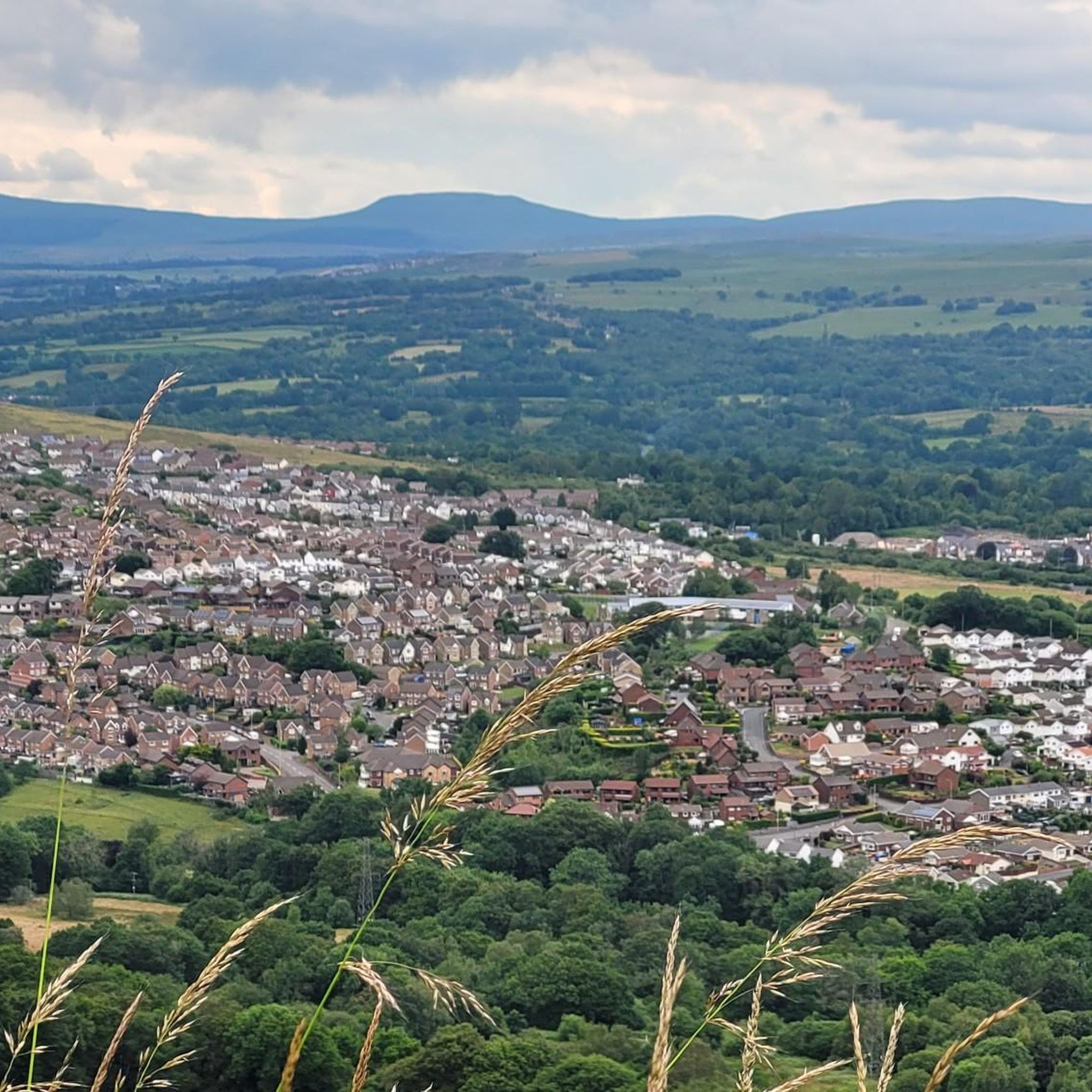
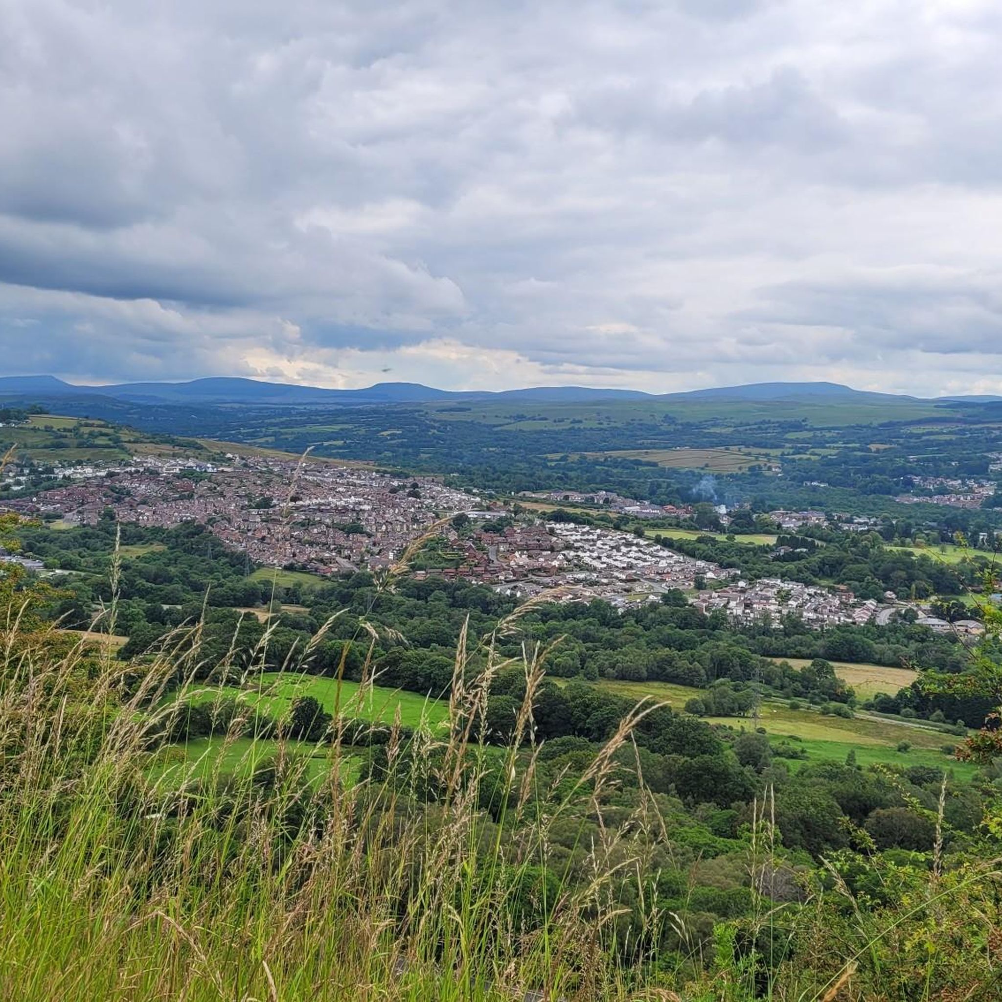
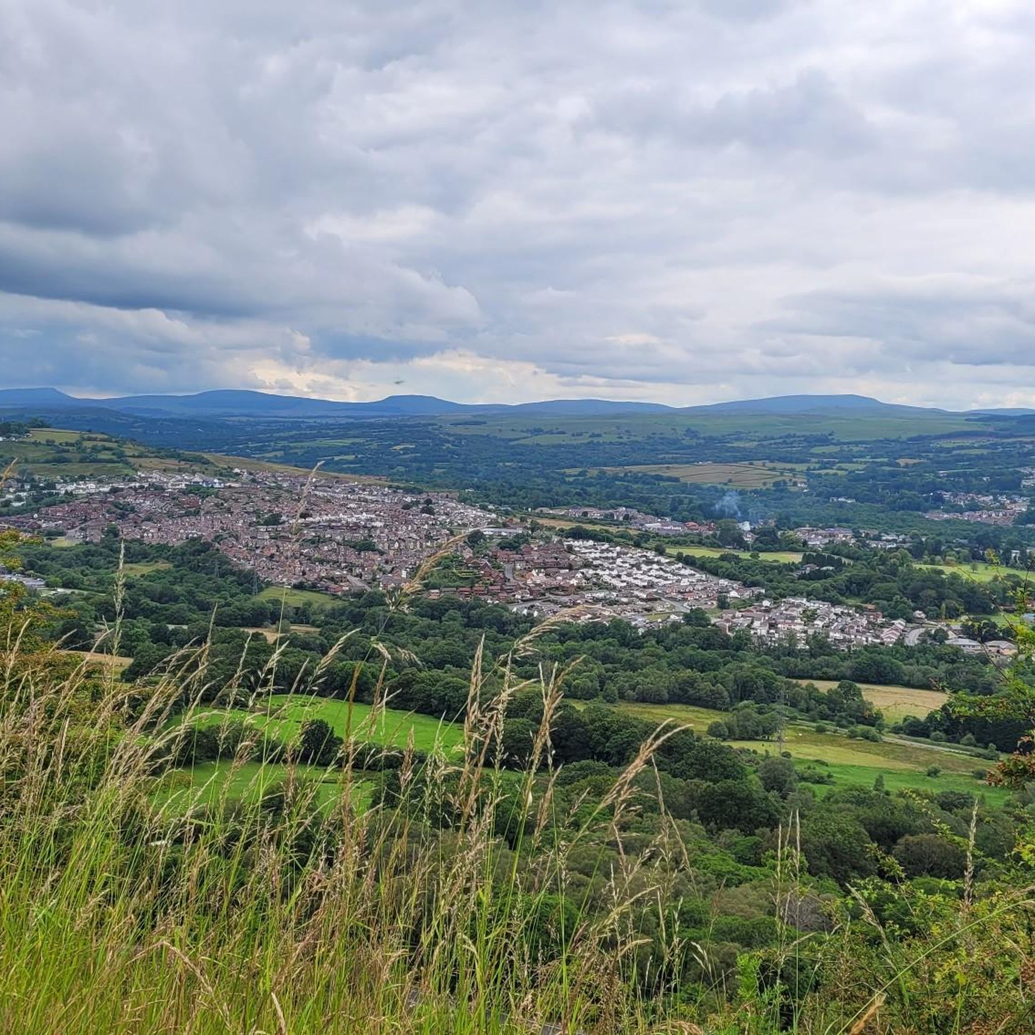
At 457 metres high, Mynydd Aberdar is a UK designated P100, or Hump, with a 100 metres of prominence. It is situated on a high point that forms a ridge between Merthyr Tydfil and Aberdare. There are fine views of both valleys to be had from here.
1
0

Sorry but this is not the summit of Cefn Cilsanws it’s way further north.
0
0
Moel Penderyn 371m ⛰️ Moel Penderyn is on the edge of Penderyn village, located in the Brecon Beacons National Park county borough of Rhondda Cynon Taff, South Wales. It also appeared to be named as 'Y Foel Penderyn' on older maps. With a summit elevation of only 371m in height, Moel Penderyn is marked by a bright, vivid, beautiful Dragonised trig point!!❤️👌
1
0
The Beautiful Cefn Cil Sanws is a 'hill' in the Brecon Beacons National Park within the county borough of Merthyr Tydfil in south Wales. The summit at 460m above sea level is crowned by a trig point. The steep cliffs of Darren Fawr and Darren Fach defend its western side which drops down into Cwm Taf. A major limestone quarry is worked on the southeastern side of the hill. An unexpected feature at this altitude is Merthyr Tydfil Golf Course which extends high onto the eastern and southern slopes of the hill. The hill is composed of a layer cake of rocks of Carboniferous age all tilted moderately to the south. The summit is formed from Carboniferous Limestone whilst outcrops of Twrch Sandstone formerly known as the Basal Grit of the Millstone can be seen to the north and on its steep western flanks. The latter show evidence of glacial striations suggesting that the hill was over-ridden by ice moving southwards from the central Beacons during the ice ages.
0
0
Cefn Cil Sanws is a hill in the Brecon Beacons National Park within the county borough of Merthyr Tydfil in south Wales. The summit at 460m above sea level is crowned by a trig point. The steep cliffs of Darren Fawr and Darren Fach defend its western side which drops down into Cwm Taf. Length - 2.5 miles Difficulty – Leisurely Free Parking Merthyr Tydfil Golf Club, Cefn-coed-y-cymmer, Merthyr Tydfil CF48 2NT
1
0
We walked miles. Up to the waterfall on Gillies trail, followed the path up onto the rocky and then to the trig point on Twyn Brynbychan, above the cynnon valleys. Enjoyed a breather on top, before trekking around the back forestry where you can see Aberfan and Merthyr Vale and headed over to the bronze age sight before descending down to Cwmaman and back to the car.
1
0
Moel Penderyn is a hill on the edge of Penderyn village, in the Brecon Beacons National Park in the county borough of Rhondda Cynon Taff, South Wales. It also appeared on older maps as 'Y Foel Penderyn'. Its summit at 371m is marked by a trig point. Moel Penderyn is in the Dyffrynnoedd Nedd a Mellte, and Moel Penderyn biological and geological Site of Special Scientific Interest.
3
0
Craig y Llyn is a mountain situated to the south of the village of Rhigos on the south side of the upper Vale of Neath and north of the Rhondda Valleys in South Wales; it is the highest point in the traditional county of Glamorgan, and the South Wales Valleys. It is a UK listed Marilyn.
2
0
Frequently Asked Questions
What are the most notable mountain peaks and hills to explore around Aberaman North?
While Aberaman North is historically tied to the coal industry, the surrounding South Wales landscape offers several significant hills and uplands for exploration. Among them, Twyn Brynbychan Trig Point is popular for its expansive views of the Cynnon valleys. Other notable spots include Moel Penderyn Trig Point within the Brecon Beacons National Park, and Mynydd Aberdar Summit, which provides fine views of both the Merthyr Tydfil and Aberdare valleys.
Are there any family-friendly walks or peaks suitable for beginners near Aberaman North?
Yes, there are options for family-friendly walks. While specific peaks might involve moderate climbs, the broader area offers easier hiking routes. For instance, you can find several easy hikes around Aberaman North, such as loops around the Lake at Dare Valley Country Park. These are generally shorter and less strenuous, perfect for families or those new to hiking. You can find more details on these routes in the Easy hikes around Aberaman North guide.
What kind of natural features and geological history can I expect to see on these peaks?
The peaks and hills around Aberaman North offer a rich display of natural features and geological history. For example, Moel Penderyn Trig Point is part of a biological and geological Site of Special Scientific Interest. Cefn Cil Sanws Summit is composed of Carboniferous Limestone, and its steep western flanks show glacial striations, providing insights into past ice ages. Many peaks also feature trig points, which are survey markers offering excellent viewpoints.
What are the best times of year to hike the mountain peaks around Aberaman North?
The best times to hike the peaks around Aberaman North are generally during the spring, summer, and autumn months. During these seasons, the weather is typically milder, and the trails are more accessible. Spring brings blooming flora, summer offers longer daylight hours, and autumn provides beautiful foliage. Winter hiking is possible but requires appropriate gear due to potentially colder temperatures, ice, and shorter days.
Are there specific parking areas or trailheads for accessing the mountain peaks?
Yes, for some peaks, specific parking is available. For instance, to access Cefn Cil Sanws Summit, free parking is available near Merthyr Tydfil Golf Club. For other trails and peaks, parking might be found in nearby villages or designated car parks. It's always advisable to check specific route details for the most accurate parking information before your visit.
What other outdoor activities can I do near the mountain peaks around Aberaman North?
Beyond hiking, the area around Aberaman North offers a variety of outdoor activities. You can explore numerous road cycling routes, with options ranging from moderate to difficult, such as the 'Rhigos to Bryn Du loop from Aberdare'. Mountain biking enthusiasts will find trails like the 'Aberdare to Hirwaun Cycleway'. For more detailed information and routes, you can check out the Road Cycling Routes around Aberaman North and MTB Trails around Aberaman North guides.
Are dogs allowed on the mountain trails and peaks in this region?
Many of the trails and open access land around the peaks in the Aberaman North region are dog-friendly. However, it's always recommended to keep dogs under control, especially in areas with livestock or ground-nesting birds. Some areas within the Brecon Beacons National Park, where some of these peaks are located, have specific guidelines for dog walkers. Always check local signage and be respectful of the natural environment and other visitors.
What are some good viewpoints or photo spots among the peaks?
The peaks around Aberaman North offer several excellent viewpoints for photography. Twyn Brynbychan Trig Point provides expansive views of the Cynnon valleys. Mynydd Aberdar Summit offers fine views of both the Merthyr Tydfil and Aberdare valleys. Many of the trig points themselves, such as Moel Penderyn Trig Point, are popular spots for capturing panoramic landscapes.
How long does it typically take to hike these mountain peaks?
The duration of a hike depends on the specific peak and your chosen route. For example, a route to Cefn Cil Sanws Summit is described as approximately 2.5 miles, making it a leisurely walk. Other peaks, especially those involving more significant elevation gain or longer circuits, could take several hours. It's best to consult individual route descriptions for estimated times and difficulty levels.
Are there any pubs or cafes nearby for refreshments after a hike?
While specific establishments directly on the peaks are unlikely, the villages and towns surrounding Aberaman North, such as Aberdare, offer various pubs and cafes where you can refresh after your hike. These local amenities provide a chance to relax and enjoy local hospitality after exploring the hills.
What is the highest point in the region around Aberaman North?
The highest point mentioned in the broader region is Werfa (Mynydd Llangeinwyr) – County High Point 568 m, which is the highest point in Bridgend. This summit is recognized as a Welsh Dewey and Dodd summit, offering a significant challenge for hikers seeking to reach higher elevations.
Most popular attractions around Aberaman North

Get inspired with the komoot mobile app


Explore more
See even more amazing summits around Aberaman North with these guides:
