The 9 Most Amazing Peaks around Penybont
Best mountain peaks around Penybont are found within the scenic Tanat Valley and provide access to the Berwyn Mountains and Radnor Forest. This region features rolling upland landscapes and dramatic river valleys, offering a variety of mountain peaks. The area is known for its summits, viewpoints, and natural monuments, making it a destination for outdoor exploration and panoramic vistas.
Best mountain peaks around Penybont
- The most popular mountain peaks is The Whimble, a viewpoint that has a striking conical…
Last updated: October 3, 2026
Carneddau Hills (Brecon Beacons)
Highlight • Historical Site
Tip by

The Whimble
Highlight • Viewpoint
To the …
Tip by

Sign up now to discover places like this
Get recommendations on the best single tracks, peaks, & plenty of other exciting outdoor places.
Black Mixen Summit
Highlight • Structure
Tip by
Great Rhos (Rhos Fawr) — Summit Trig Point
Highlight • Summit
Tip by
Castle Bank Summit
Highlight • Historical Site
Tip by
Sign up for free to discover even more peaks around Penybont.
Already have an account?
Start today with a free account
Your next adventure awaits.

Tips from the Community

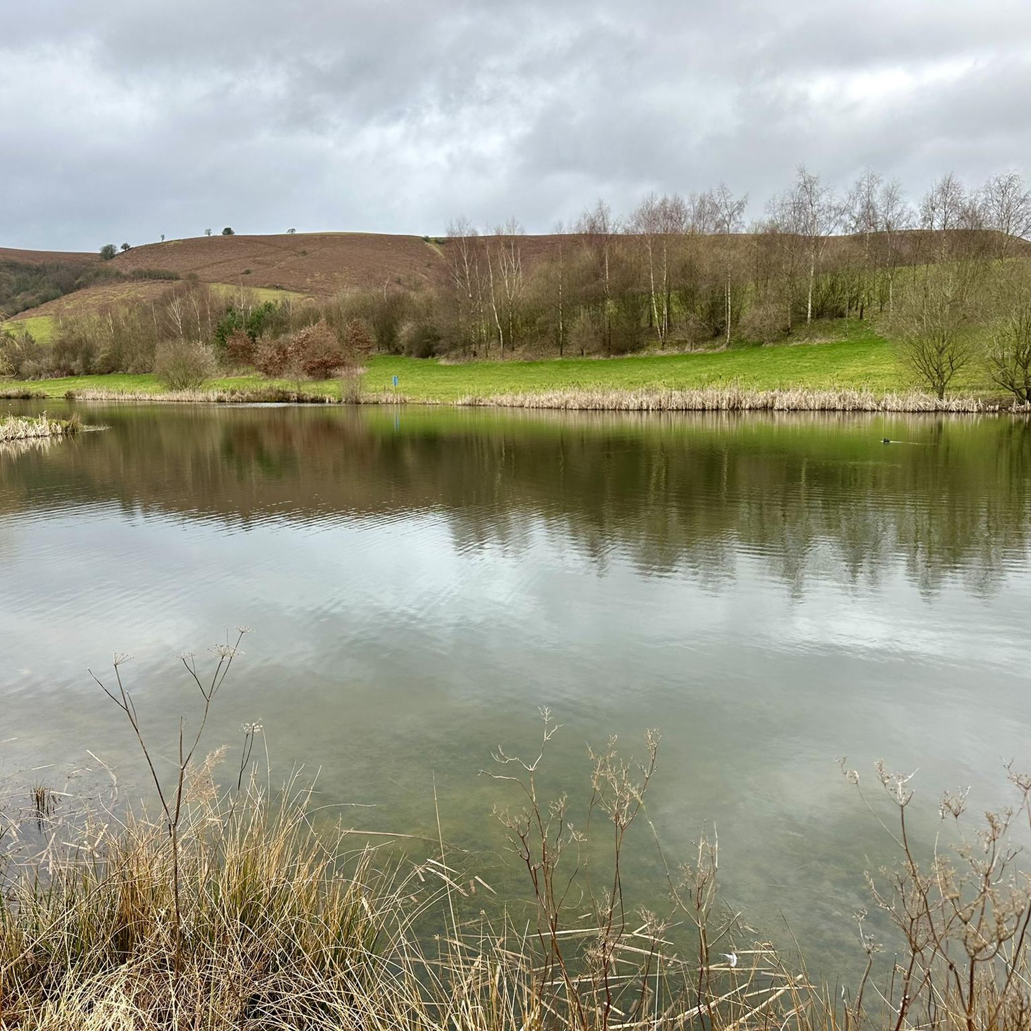
The ridge of Castle Bank hosted two successive castles. Having completed the steep climb to the summit (304m), you will appreciate why it was such a great defensible position. Catch your breath and enjoy commanding views over the tributary valleys of the River Ithon.
1
0
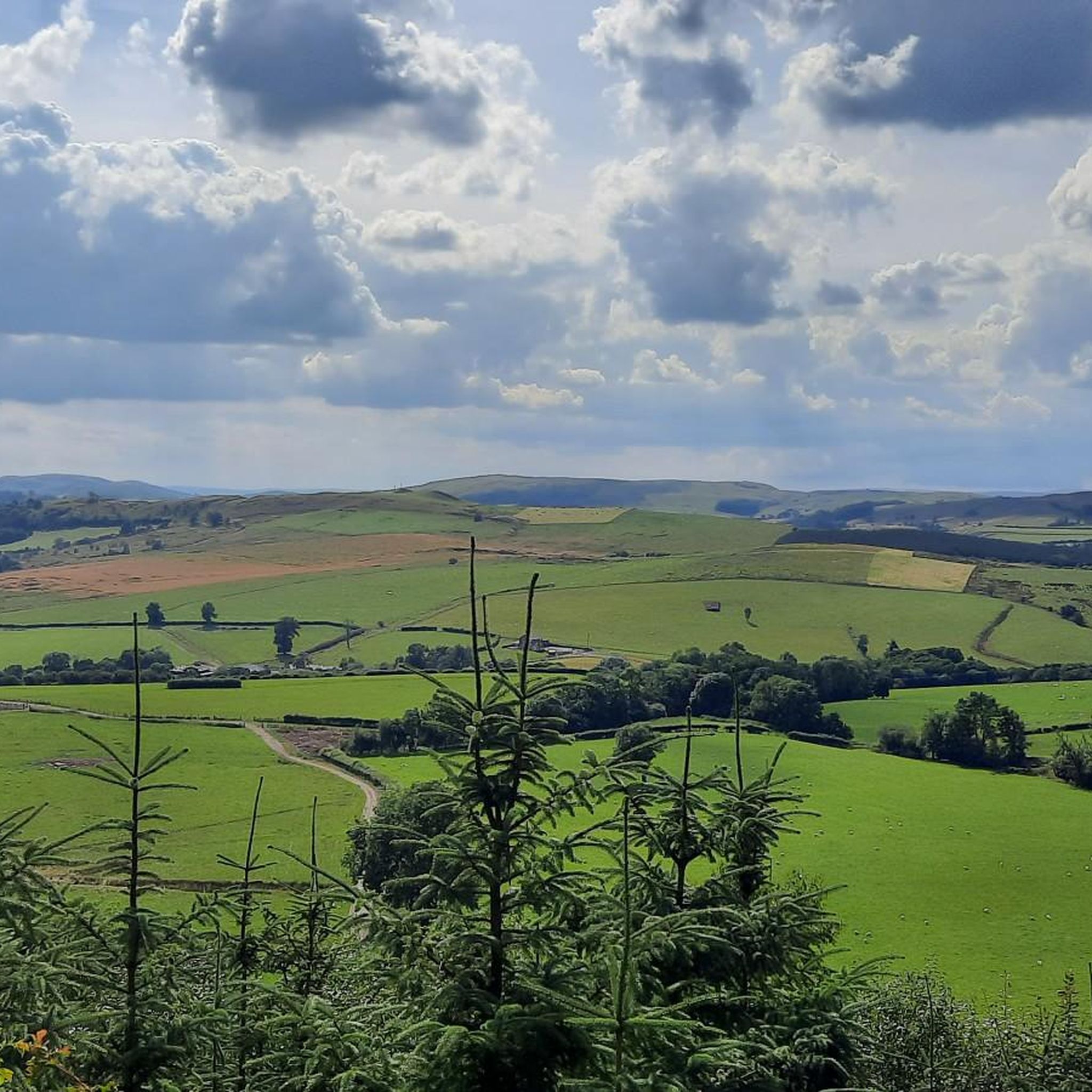
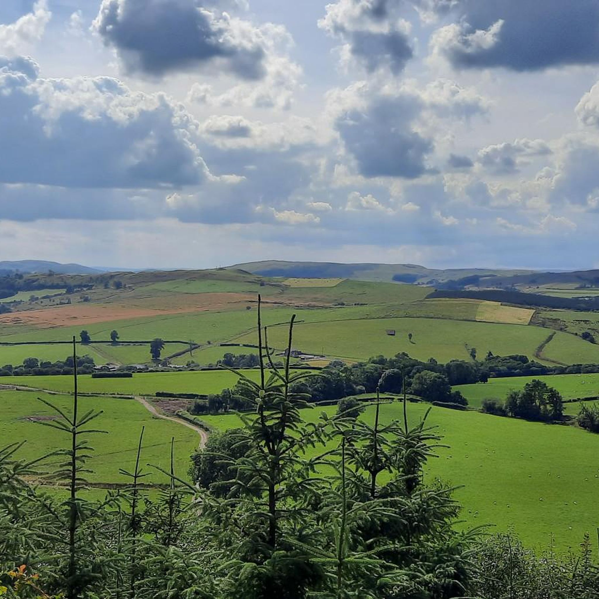
The Whimble has a striking conical shape. The summit is 599m and on a clear day offers great voews with the hill dropping away steeply on all sides. To the southeast, Hergest Ridge and the Black Mountains visible to the south. To the west and north the higher, flat-topped summits of the Radnor Range. To the northeast, Bache Hill.
3
0

It's a steep climb, and you have other hills to climb on this walk. Give it a miss unless you are very fit.
0
0

Rhos Fawr or Great Rhos is a mountain summit in the Radnor Forest (Mid Wales), a rather isolated dome of hills to the north of the village of New Radnor. The local rocks are sedimentary shales and mudstones with some Silurian limestone. With a height of 660 metres (2,170 ft), it is the highest point in the Radnor Forest and the historic county top of Radnorshire. The summit is located on a broad heathery plateau, which is separated from Black Mixen: the eastern plateau summit, by the cwm of Harvey Dingle. To the west is Drygarn Fawr and Gorllwyn, to the northwest Plynlimon, to the north Beacon Hill and the Clun Forest (Shropshire), and to the south the Black Mountains. There is a prominent trig point at the summit, and a very useful landmark for walkers on the broad and featureless summit plateau.
3
0
Black Mixen is a subsidiary summit of Rhos Fawr or Great Rhos in the Radnor Forest. The summit is large peat bog plateau. The summit is marked with a cairn, and is next to a radio transmitter and its building. Black Mixen is the only UK registered Nuttall to have a communications mast on its summit.
3
0
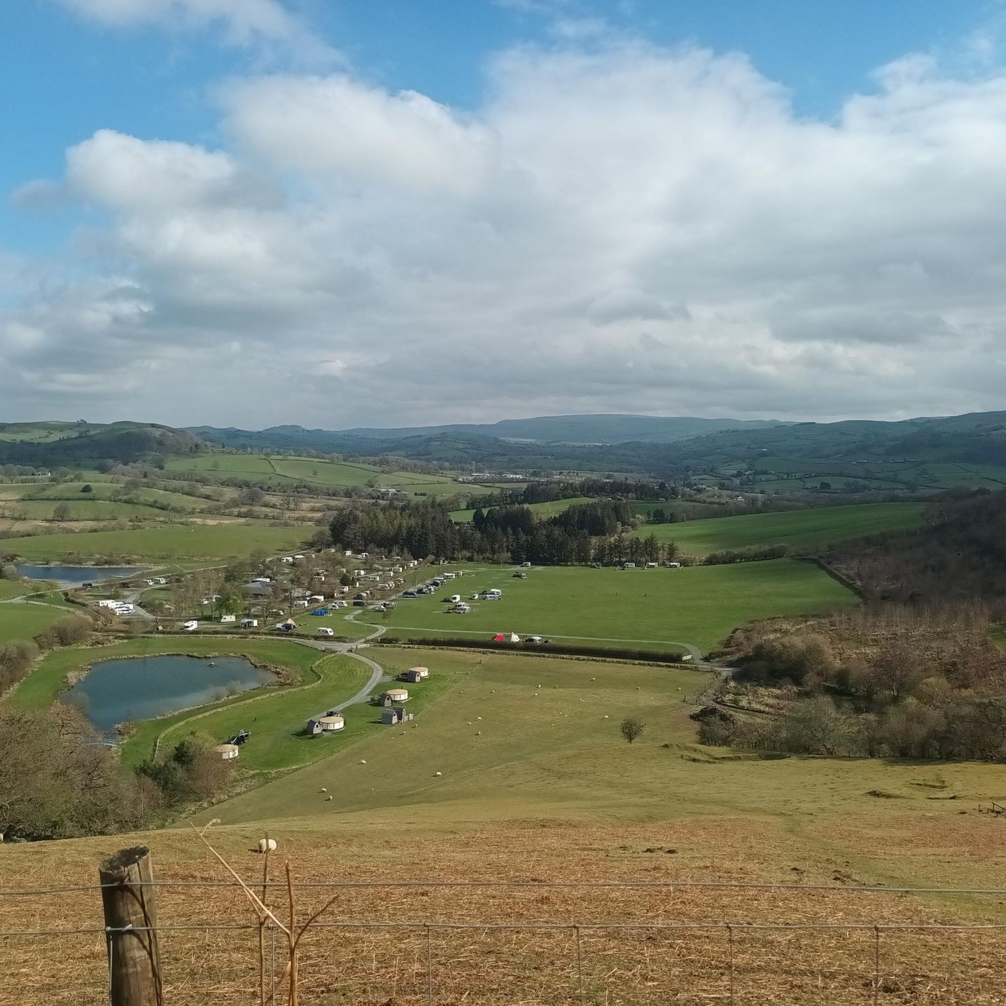
This is a beautiful and quite area just outside the Brecon Beacons National Park. It is also a very quite not often visited part of the work. A stunning walking area with Iron Age Hill Forts, a trig point and cairn topped mountain tops amidst rolling hills on a high plateau. I adore the hills here and you can quite easy get a good hike out of it. Not to be confused with the Snowdonia Carneddau. For a good route taking in all of the main features click here: https://www.komoot.com/tour/283448899
3
0
Frequently Asked Questions
What types of mountain peaks can I explore around Penybont?
The Penybont area, nestled within the scenic Tanat Valley and providing access to the Berwyn Mountains and Radnor Forest, offers a diverse range of mountain peaks. You'll find everything from striking conical shapes, like The Whimble, to broad heathery plateaus such as Great Rhos. Many peaks feature prominent summits, viewpoints, and natural monuments, providing varied hiking experiences.
Which mountain peaks offer the most impressive views in the Penybont region?
For expansive and terrific views, consider Cadair Berwyn, the highest point in the Berwyn Hills, offering solitude and broad vistas across the Welsh uplands. Moel Sych also provides excellent views across the peaceful Welsh uplands. Additionally, The Whimble, with its 599-meter summit, offers great views of Hergest Ridge, the Black Mountains, and the Radnor Range on clear days.
Are there any mountain peaks with historical significance near Penybont?
Yes, Bache Hill Summit is notable for its historical context. Its summit is marked by a trig point built on an ancient burial mound, likely dating back to the Bronze Age. The Carneddau Hills also feature Iron Age Hill Forts amidst their rolling hills.
What are some popular hiking trails near the mountain peaks around Penybont?
The Penybont area offers a variety of hiking trails. For a moderate challenge, you could try the 'Llandrindod Wells loop via Cefnylls Castle'. If you're looking for something more difficult, the 'Radnor Range circular from Water-break-its-neck' is a great option. You can find more details and routes in the Hiking around Penybont guide.
Are there family-friendly mountain walks available near Penybont?
While specific family-friendly mountain walks are not detailed for individual peaks, the Berwyn range features a network of trails suitable for different fitness levels, including some gentle walks. For an easy, shorter option, consider the 'Water-Break-Its-Neck Waterfall loop from New Radnor', which is 2.7 km. Always check the difficulty and length of a route before heading out with family.
What is the highest point in the Radnor Forest, and what can I expect there?
The highest point in the Radnor Forest is Great Rhos (Rhos Fawr), standing at 660 meters. Its summit is a broad heathery plateau marked by a prominent trig point, which serves as a useful landmark for walkers. From here, you can see Drygarn Fawr, Plynlimon, Beacon Hill, and the Black Mountains.
Can I find solitude when hiking the mountain peaks in the Penybont area?
Yes, the Penybont area, particularly the Berwyn Hills, is known for offering a sense of solitude. Cadair Berwyn, for instance, is often described as a quieter part of upland Wales, making it an excellent choice for those seeking a peaceful hiking experience away from crowds.
What unique features does Black Mixen Summit offer?
Black Mixen Summit is a subsidiary summit of Great Rhos, notable for its large peat bog plateau. Its summit is marked by a cairn and is uniquely situated next to a radio transmitter and its building. It holds the distinction of being the only UK registered Nuttall to have a communications mast on its summit.
What other outdoor activities can I do near the mountain peaks around Penybont?
Beyond hiking, the Penybont area is excellent for other outdoor activities. You can explore gravel biking routes, such as the challenging 'Black Mixen Summit – View of the Valley loop from New Radnor'. Mountain biking enthusiasts can find trails like the 'Radnor Forest and Shepherd's Tump loop'. Discover more options in the Gravel biking around Penybont and MTB Trails around Penybont guides.
What is the best time of year to visit the mountain peaks around Penybont?
The region's rolling upland landscapes and dramatic river valleys are beautiful year-round. However, for the most comfortable hiking conditions and clearer views, late spring to early autumn (May to October) is generally recommended. Always check local weather forecasts, as conditions in the mountains can change rapidly.
Are there any specific tips for visiting the Carneddau Hills near Penybont?
The Carneddau Hills, located just outside the Brecon Beacons National Park, are a beautiful and quiet area. They offer a stunning walking experience with Iron Age Hill Forts, trig points, and cairn-topped mountain tops amidst rolling hills on a high plateau. It's a great place for a good hike and to enjoy a less-visited part of Wales.
Most popular attractions around Penybont

Get inspired with the komoot mobile app


Explore more
See even more amazing summits around Penybont with these guides:
