The 3 Most Amazing Peaks around Wallington Demesne
Best mountain peaks around Wallington Demesne are primarily found within the broader Northumberland National Park, which extends beyond the Demesne's country house and gardens. While Wallington Demesne itself features rolling hills and natural beauty, the nearby Cheviot Hills offer more prominent summits. The region provides significant hiking opportunities and diverse landscapes for outdoor exploration. These peaks and viewpoints contribute to the area's appeal for those seeking elevated perspectives.
Best mountain peaks around Wallington Demesne
- The most popular mountain peaks is…
Last updated: June 30, 2026
Shaftoe Crags Trig Point
Highlight • Viewpoint
Tip by

Coquet Cairn
Highlight • Summit
Tip by

Sign up now to discover places like this
Get recommendations on the best single tracks, peaks, & plenty of other exciting outdoor places.
Sign up for free
Darden Pike Trig Point
Highlight • Viewpoint
Tip by

(DoBIH Hill ID: 15971) [JNSA 11904]
#1826
County of Northumberland Definitive List summit.
TP3247 - Fourlaws Hill S6629
FB Height: 342.732m
#1055
County of Northumberland Trig Pillar List.
Tip by

Beacon Hill (195 m / 640 ft)
Highlight • Summit
(DoBIH Hill ID: 16048) [JNSA 18669]
County of Northumberland Definitive List summit.
Tip by
Sign up for free to discover even more peaks around Wallington Demesne.
Sign up for free
Already have an account?
Start today with a free account
Your next adventure awaits.
Login or Signup
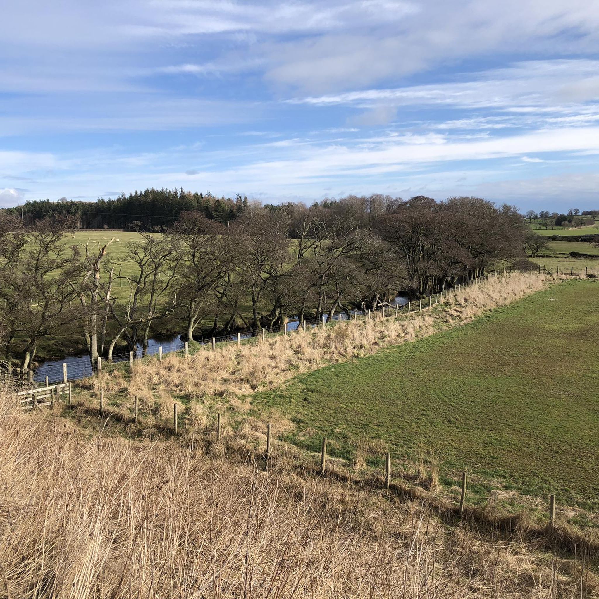
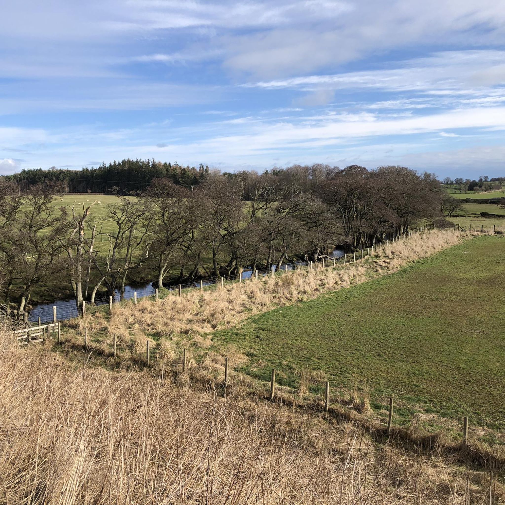
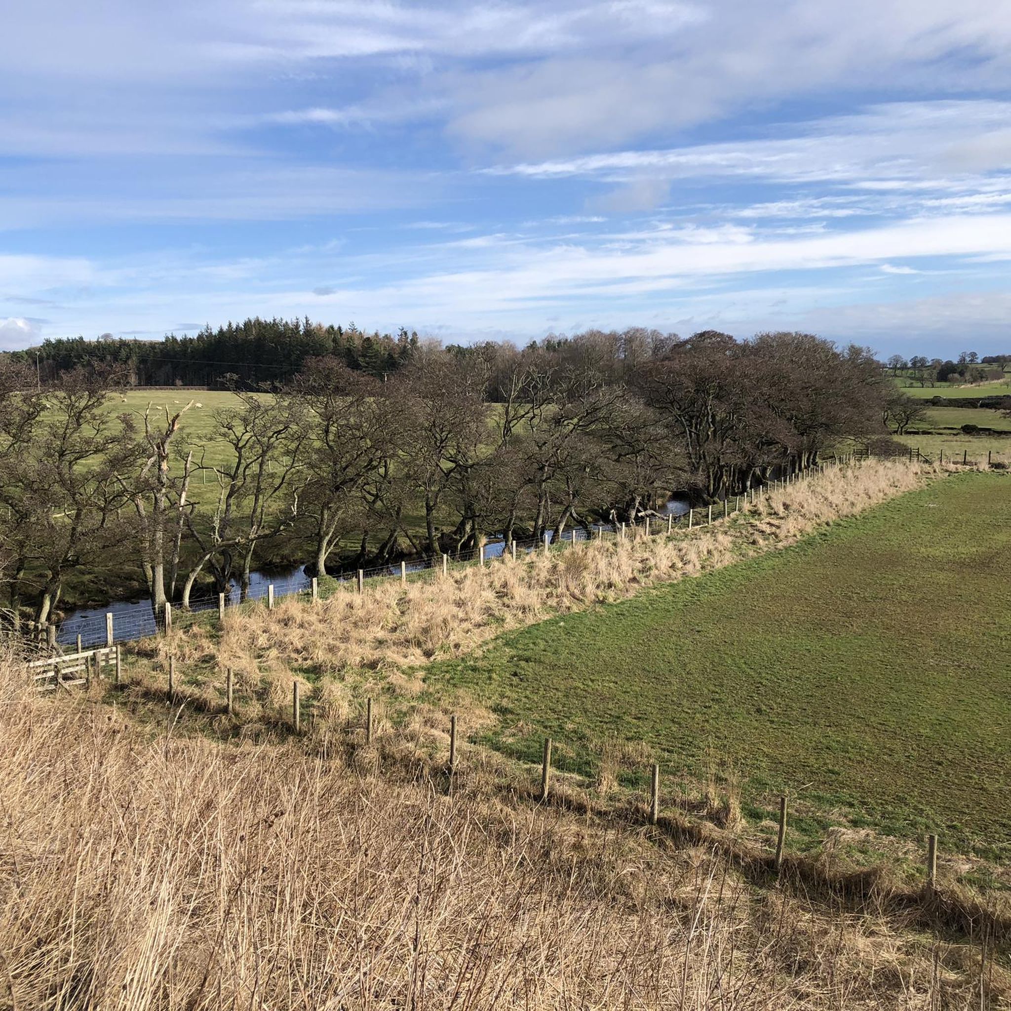
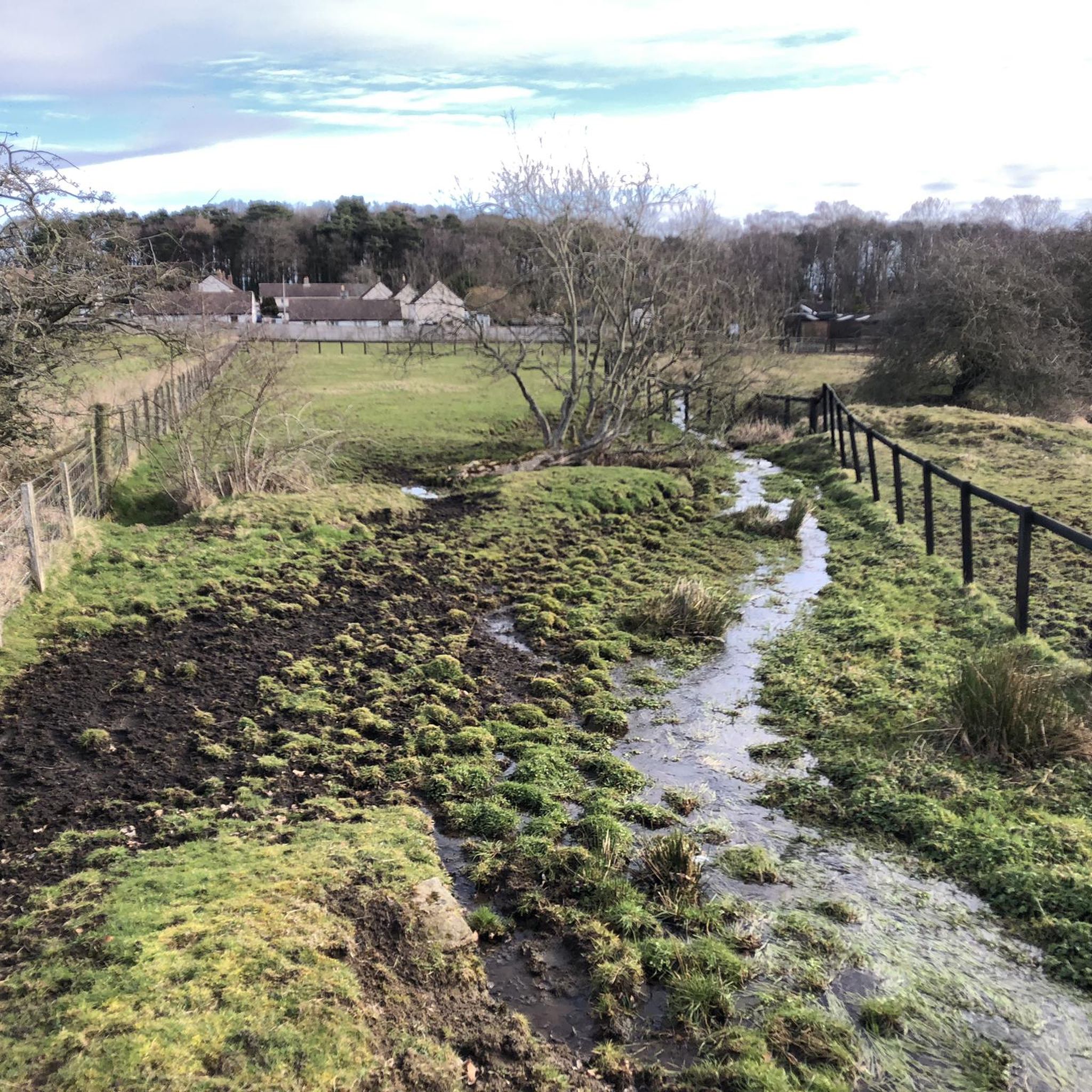
Tips from the Community

Sappers’ Pike 342m P83 (1122ft) (DoBIH Hill ID: 15971) [JNSA 11904] #1826 County of Northumberland Definitive List summit. TP3247 - Fourlaws Hill S6629 FB Height: 342.732m #1055 County of Northumberland Trig Pillar List.
0
0
Darden Pike 375.84m P20.2 (1233ft) (Hill ID: 504121) [JNSA 30053] Northumberland National Park Definitive List summit. County of Northumberland Definitive List summit.
0
0
TP1097 - Beacon Hill S3694 FB Height: 412.089m #1014 County of Northumberland Trig Pillar List.
0
0
Beacon Hill 195m P59 (640ft) (DoBIH Hill ID: 16048) [JNSA 18669] County of Northumberland Definitive List summit.
0
0

If you fancy a little wander to a gorgeous little lake in the middle of nowhere than get yourself along to Darden Lough. This short but tough little walk has a bit of everything in what is really quite a short distance. However the views and the secluded nature of this trig pointed and cairned summit are definitely worth it.
0
0

Elevated at 699 feet above sea level, the trig point, also known as a triangulation pillar, marks the highest point on the moorland. These pillars, introduced by the Ordnance Survey in 1936, serve as sturdy platforms for surveyors' theodolites, which were used to create accurate maps during the retriangulation Of Great Britain. They can be found scattered throughout the British countryside, offering important reference points for hikers and adventurers exploring the picturesque landscapes. This particular one was installed on 01/06/1947.
0
0

Walking this part of the St Oswald's Way to Rothbury and soon the landscape changes. Walking steadily uphill through open moor one passes the Iron Age fort to reach this highlight, which is the highest point with excellent views.
3
0
Frequently Asked Questions
What are the most prominent mountain peaks accessible from Wallington Demesne?
While Wallington Demesne itself features rolling hills, the broader Northumberland region offers several significant peaks within the Northumberland National Park. The Cheviot is the highest point at 815 meters, offering challenging climbs and panoramic views. Other notable peaks include Simonside Summit, known for its rugged ridge and views, and Hedgehope Hill, providing another significant hiking challenge. For more detailed information on the Northumberland National Park, you can visit Wikipedia.
Are there any easy or beginner-friendly mountain hikes near Wallington Demesne?
Yes, for those seeking less strenuous options, Simonside Summit offers impressive scenery and is a top choice without the extreme elevation of The Cheviot. The walking routes around Simonside are generally more accessible. Additionally, within the immediate vicinity, you can find highlights like Beacon Hill (195 m / 640 ft), which provides a more gentle ascent with rewarding views.
What historical or cultural sites can I explore on these mountain peaks?
Several peaks offer a blend of natural beauty and history. Yeavering Bell is a notable historical site featuring an Iron Age hillfort, providing insight into the region's ancient past. The area around Simonside also includes historical interests such as prehistoric rock art, Bronze Age burial cairns, and Iron Age hill forts. Additionally, Coquet Cairn is located near an Iron Age fort, offering excellent views after a steady uphill walk.
What natural features can I expect to see on these mountain walks?
The peaks around Wallington Demesne offer diverse natural beauty. From the summit of The Cheviot, on clear days, you can enjoy expansive views that may reach as far as the Lake District. Darden Pike Trig Point offers views of a gorgeous little lake, Darden Lough, and a secluded summit. The entire Northumberland National Park is also recognized for its clean air and dark skies, making it an excellent location for stargazing.
What is the best time of year to hike the mountains near Wallington Demesne?
The best time to hike the mountain peaks in Northumberland National Park is generally during the spring, summer, and early autumn months (April to October). During these periods, the weather is typically milder, and the days are longer, offering better visibility and more comfortable hiking conditions. Winter hiking is possible but requires appropriate gear and experience due to potentially harsh weather.
Are there family-friendly options for mountain walks around Wallington Demesne?
While some of the higher peaks like The Cheviot are challenging, there are family-friendly options. The walks around Simonside Summit are generally more accessible and offer impressive scenery without extreme elevation. For a shorter, easier hike, consider routes around Beacon Hill (195 m / 640 ft), which provides rewarding views for less effort.
What outdoor activities can I do near these mountain peaks?
Beyond hiking the peaks, the area around Wallington Demesne offers a variety of outdoor activities. You can explore numerous hiking trails, including easy options like the River Walk at Wallington or moderate routes like the Wannie Line Walk. For cyclists, there are many road cycling and touring bicycle routes available. You can find more details on these activities in the hiking guide, road cycling guide, and cycling guide for Wallington Demesne.
What kind of wildlife might I encounter on mountain walks in this region?
The wild landscapes of the Cheviots, including peaks like Cairn Hill, offer opportunities to observe local wildlife. The Northumberland National Park is home to various bird species, including raptors, and you might spot red squirrels, roe deer, and other native animals. The diverse habitats, from moorland to woodland, support a rich array of flora and fauna.
Are there any hidden gems or less-known peaks worth visiting?
While The Cheviot and Simonside are well-known, Cairn Hill, at 777 meters, offers spectacular views over the wild Cheviot landscape and is noted for being more sheltered than The Cheviot, potentially offering a more comfortable experience to enjoy the vast scenery. Another less-known highlight is Gunner’s Box, a summit within the Northumberland National Park offering unique views.
What should I wear when hiking the peaks around Wallington Demesne?
When hiking in the Northumberland National Park, it's essential to be prepared for changeable weather conditions. Layers are key, including a waterproof and windproof outer shell, even in summer. Sturdy hiking boots with good ankle support are recommended, along with appropriate socks. Always carry extra warm layers, a hat, gloves, and plenty of water and snacks, especially for longer or higher-altitude hikes.
Where can I find the highest points near Wallington Demesne?
The highest point in the broader region is The Cheviot, located within the Northumberland National Park, reaching 815 meters (2,674 feet). Closer to Wallington Demesne, you can find elevated points like Shaftoe Crags Trig Point, which marks a high point on the moorland at 699 feet above sea level, offering significant views.
Most popular routes around Wallington Demesne
Most popular attractions around Wallington Demesne

Get inspired with the komoot mobile app


Explore more
See even more amazing summits around Wallington Demesne with these guides:
