The 7 Most Amazing Peaks around Harwood Dale
Best mountain peaks around Harwood Dale are found within the North York Moors National Park, offering a landscape characterized by forests and open moorland. Elevated points in the area provide scenic views and opportunities to explore natural features. The region features historical sites, including Bronze Age monuments, alongside diverse walking routes. Elevations reach up to 290 meters above sea level.
Best mountain peaks around Harwood Dale
- The most popular mountain peaks is Roger Trod Viewpoint, a peak and viewpoint…
Last updated: October 16, 2026
Simon Howe Bronze Age Cairn
Highlight • Viewpoint
Tip by

Blakey Topping
Highlight • Summit
There’s a way more famous Topping in the North York Moors – Roseberry Topping – but if you want something off the beaten track, this …
Tip by

Sign up now to discover places like this
Get recommendations on the best single tracks, peaks, & plenty of other exciting outdoor places.
Dalby Forest Crossroads Rest Area
Highlight • Forest
Tip by
Roger Trod Viewpoint
Highlight • Trail
Tip by

High Woof Howe (Derwent Head Rigg) Summit
Highlight • Summit
(Hill ID: 512579) [JNSA s10481]
County of Yorkshire Definitive List summit.
North York Moors National Park Definitive List summit
Tip by

Sign up for free to discover even more peaks around Harwood Dale.
Already have an account?
Start today with a free account
Your next adventure awaits.

Other adventures around Harwood Dale

Tips from the Community

High Woof Howe (Derwent Head Rigg) 290m P16 (951ft) (Hill ID: 512579) [JNSA s10481] County of Yorkshire Definitive List summit. North York Moors National Park Definitive List summit
0
0

Many paths. Quiet and beautiful. Perfect for a mountain and a gravel bike.
0
0
Roger Trod is a peak and viewpoint on the Cleveland Way trail. It's about 328 feet (100 m) above the sea and there is a convenient bench.
0
0

Fantastic 360 degree views and a variety of routeing options. I can't comment on the track west to Wheeldale Lodge or the bridleway south along Simon Howe Rigg to Cropton Forest, but both the bridleway north to Goathland, and the track east to Fen Bog Nature Reserve and the A169 are good quality tracks over easy terrain. The track east to Fen Bog is still quite waterlogged and boggy in some places even in July, but it is quite easy to skirt around these over the heather.
1
0

This location was about 10 miles into this trail. It is a crossroads in Dalby Forest. You can rest the bikes against several fences & gates, then sit down on an elevated drain type seat. Good point to rehydrate and eat
0
0

A scheduled monument, Simon Howe is a large round cairn on Goathland Moor that offers great views of the North York Moors National Park.
0
0

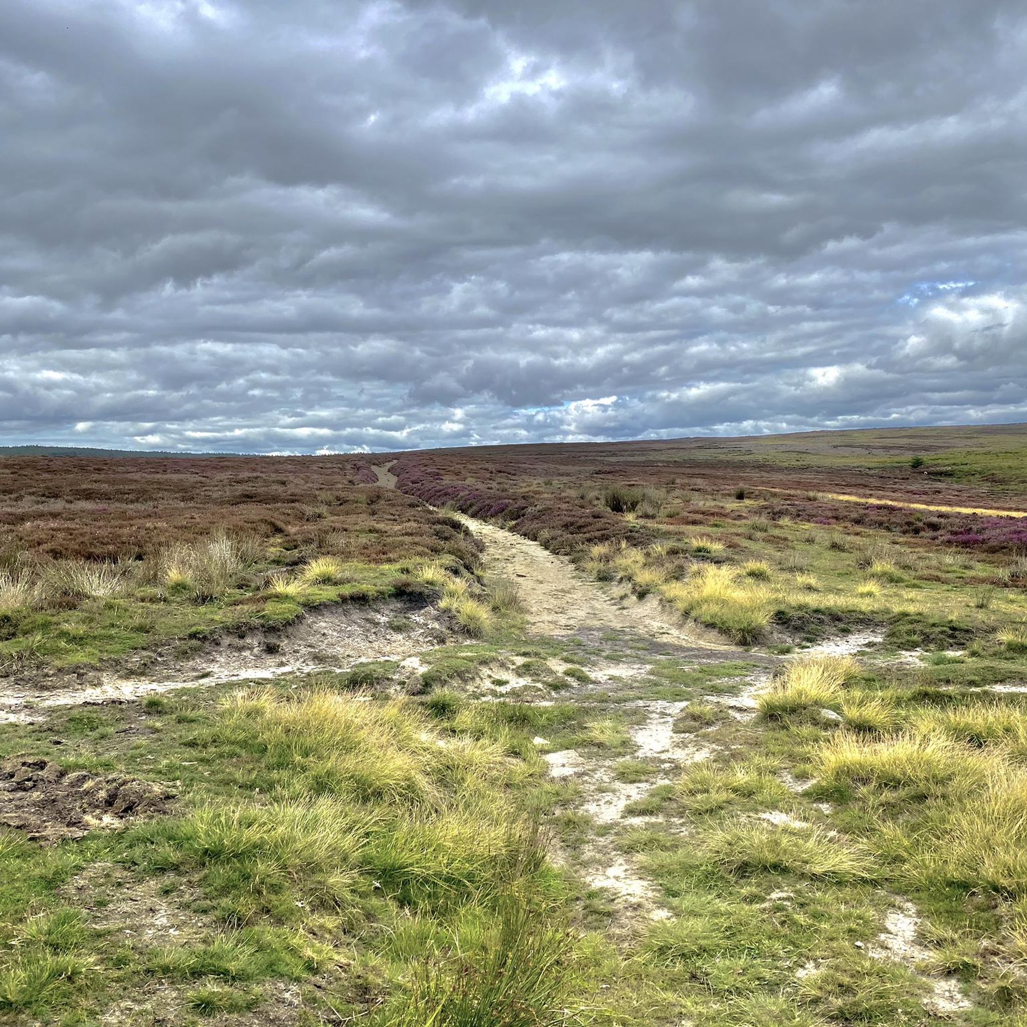
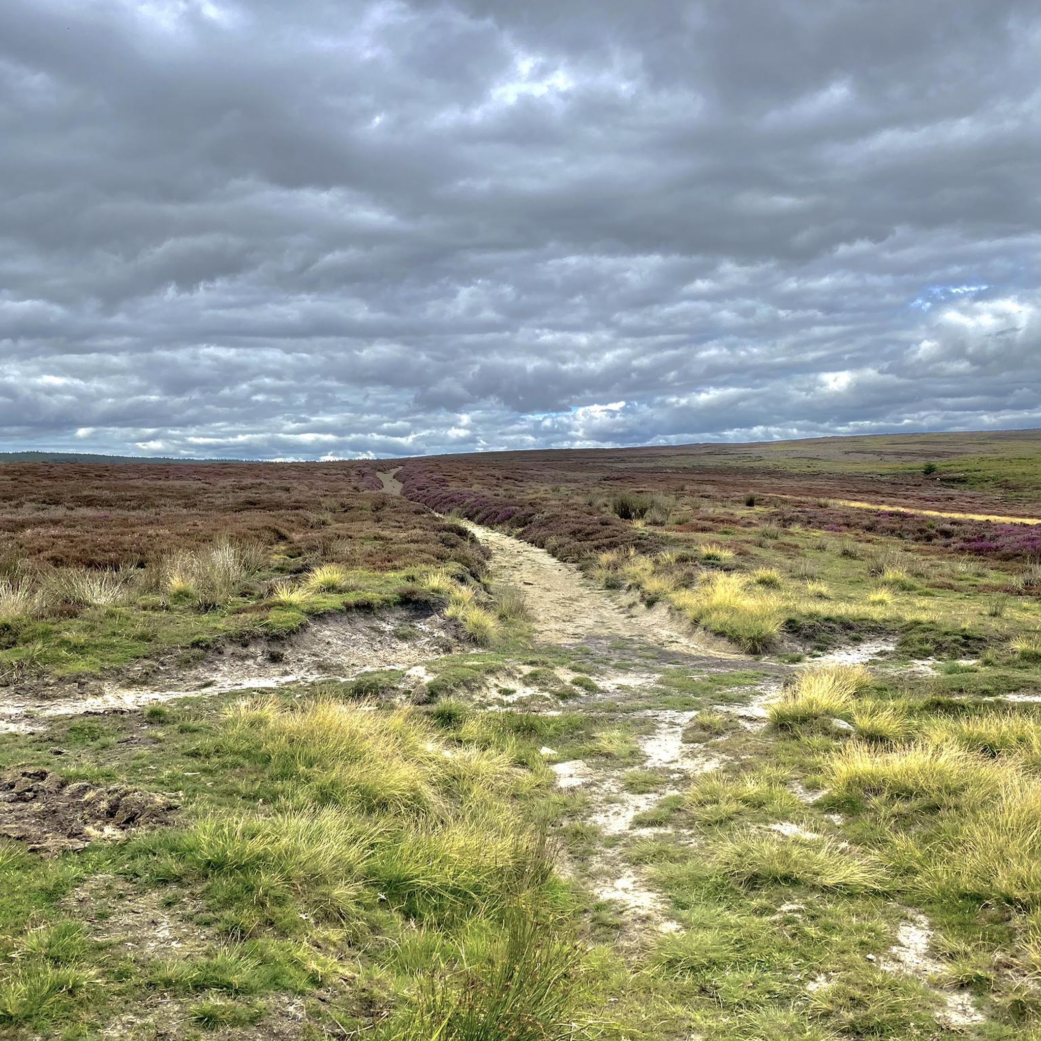
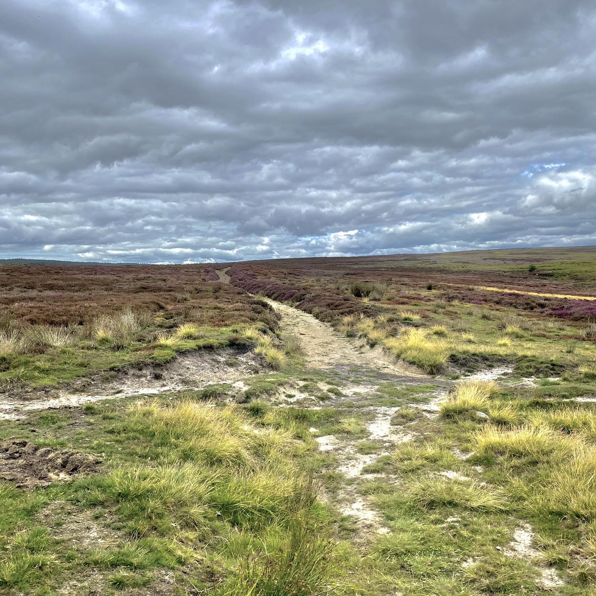
At Simon Howe (260 m), you will see a cairn and a ring of stones, but what they used to be and for what purpose is apparently 'shrouded by the mist of time' as they used to phrase it in my favourite sci-fi series! In the summer, you will be surrounded by a sea of purple heather. There are some stones here on which it will be possible to rest your running feet for awhile.
1
0
A rather oddly located trig point, nonetheless it's worth noticing it as this is actually the highest point in Dalby Forest, at 248 m! Ordnance Survey have these days stopped placing trig points, which is perhaps good, as this one is now obviously surrounded by forest.
1
0
Frequently Asked Questions
What are some of the most notable elevated points or 'peaks' in the Harwood Dale area?
While Harwood Dale features hills and moorland rather than traditional towering peaks, several elevated points offer scenic views and interesting features. These include Roger Trod Viewpoint, Simon Howe Bronze Age Cairn, Dalby Forest Crossroads Rest Area, and High Woof Howe (Derwent Head Rigg) Summit. Additionally, Pye Rigg Howe is the highest point in Harwood Dale Forest, and areas like Reasty Bank and Langdale Rigg End Trig Point offer expansive views.
Are there any historical sites among the elevated points in Harwood Dale?
Yes, the area is rich in history. Simon Howe Bronze Age Cairn is a significant historical site featuring a well-preserved Bronze Age round cairn, a stone row, and a standing stone. Pye Rigg Howe, located within Harwood Dale Forest, is also a Bronze Age round barrow with a boundary stone on its summit, offering a glimpse into prehistoric heritage.
What kind of views can I expect from the elevated points around Harwood Dale?
The elevated points in Harwood Dale offer diverse and expansive views. From Simon Howe Bronze Age Cairn, you can enjoy wonderful views over the wild expanse of Goathland Moor. Roger Trod Viewpoint on the Cleveland Way trail provides coastal vistas. Other areas like Reasty Bank and Broxa Forest offer panoramic views over the dale and the wider North York Moors landscape.
Are there family-friendly elevated points or walks in the Harwood Dale area?
Yes, Dalby Forest Crossroads Rest Area is noted as family-friendly. The expansive Harwood Dale Forest and Broxa Forest also provide numerous footpaths suitable for families, with opportunities to explore woodlands, streams, and ponds. Many of the easy hiking routes in the area are also suitable for families.
What outdoor activities can I do near the elevated points in Harwood Dale?
Beyond exploring the elevated points themselves, the Harwood Dale area is excellent for various outdoor activities. You can find numerous hiking trails, including easy options like the Broxa Forest loop from Harwood Dale or the View from Reasty Hill Top loop. Cycling is also popular, with routes such as the North York Moors Cycleway and various Moor to Sea Cycle Network sections passing nearby.
What kind of wildlife can be spotted around the elevated points and forests of Harwood Dale?
The forests and moorlands around Harwood Dale are home to diverse wildlife. Visitors often spot roe deer, badgers, squirrels, and a variety of woodland birds. The tranquil environment provides excellent opportunities for nature observation.
What is the highest point in Dalby Forest, and what can I find there?
The highest point in Dalby Forest is marked by the Dalby Forest Crossroads Rest Area, which stands at 248 meters. Here, you'll find a trig point and a crossroads for various paths, making it a good spot to rest and rehydrate during a ride or walk.
Are there any challenging routes or ascents for experienced hikers near Harwood Dale?
Yes, while many routes are moderate, areas like Reasty Bank and the 'Trail to Reasty Ridge Summit – Langdale Rigg End Trig Point loop' involve significant ascents. Some sections of the Cleveland Way trail, which includes Roger Trod Viewpoint, can also be challenging. These offer invigorating walks for those seeking more demanding terrain.
Can I find any unique natural features or monuments in the Harwood Dale area?
Absolutely. Beyond the Bronze Age monuments like Simon Howe Bronze Age Cairn and Pye Rigg Howe, the region is characterized by expansive coniferous and broadleaf forests, open moorland, and scenic escarpments. The tranquil and rugged character of the North York Moors National Park itself is a significant natural feature.
What do visitors enjoy most about the elevated points and trails around Harwood Dale?
Visitors frequently appreciate the combination of peaceful forest walks, the historical interest of sites like Simon Howe Bronze Age Cairn, and the opportunity to experience the wide, scenic character of the North York Moors. The tranquility and natural beauty, along with the diverse walking and cycling routes, are highly valued by the komoot community.
Where can I find a convenient resting spot on the Cleveland Way trail near Harwood Dale?
On the Cleveland Way trail, Roger Trod Viewpoint offers a convenient bench for visitors to rest and enjoy the views. It's located about 100 meters above sea level.
Is there a specific elevated point that offers 360-degree views?
Yes, Simon Howe Bronze Age Cairn is known for offering fantastic 360-degree views over Goathland Moor and beyond, especially when surrounded by purple heather in summer.
Most popular attractions around Harwood Dale

Get inspired with the komoot mobile app


Explore more
See even more amazing summits around Harwood Dale with these guides:
